Day 358: Working Our Way South

This Canadian $6 per gallon diesel is killing us:

Day358_01

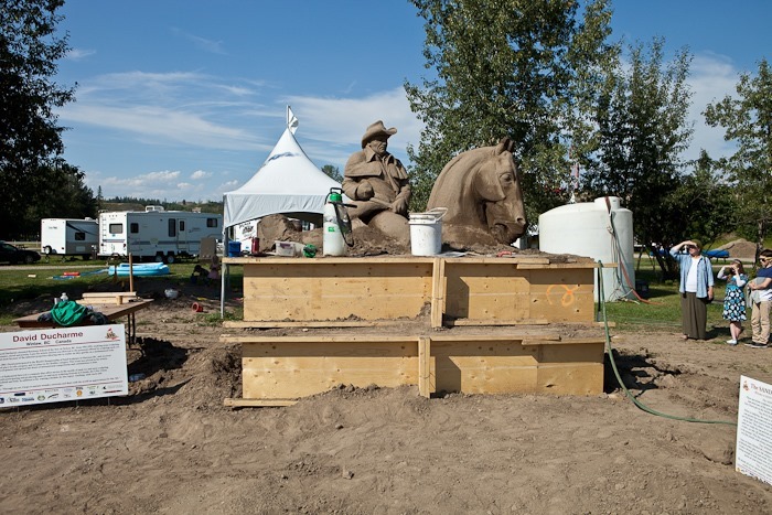
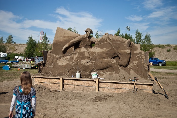
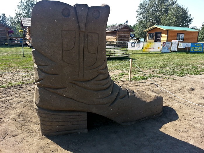
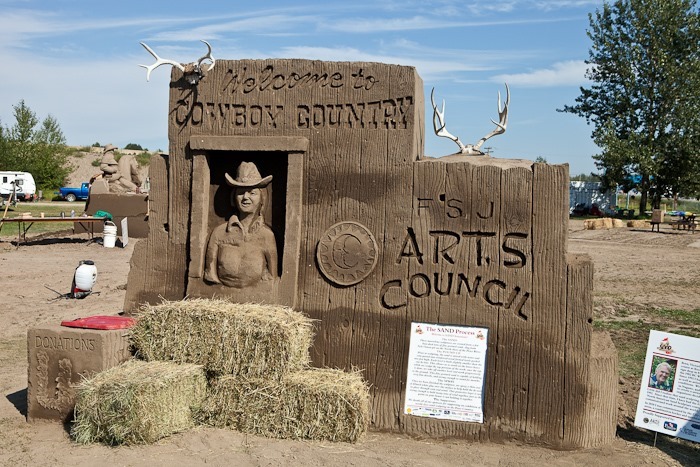
Heading South from Fort Nelson, we stopped in the town of Taylor to spectate a sand sculpture contest in progress:
Day358_02

The sand is packed into a wedding cake-like arrangement of forms.  The artist then sculpts the tightly packed sand, removing levels of forms as he or she goes:

Day358_03

Day358_04

Day358_11

Day358_05

Day358_06

Day358_07

Day358_08

Day358_09

Day358_10

I don’t know why we do this, but they are funny:

Day358_12

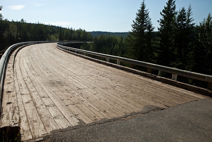
Continuing South, we diverted off the AlCan to drive a section of the original Alaska Highway that crosses the original World War II era Kiskatinaw Bridge, the only curved and banked wooden trestle bridge in Western Canada:

Day358_13

Day358_14

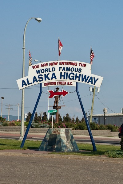
We arrived in Dawson Creek in the afternoon.  Dawson Creek is “Mile Zero” of the Alaska Highway.  Most folks start here, but for us this is the end of the AlCan:

Day358_15

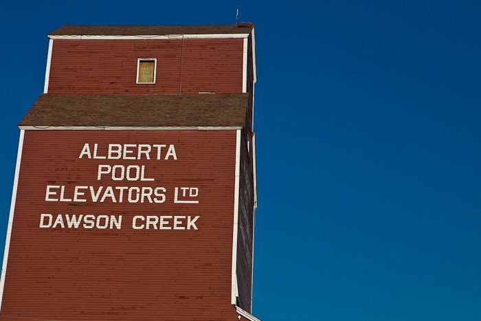
The old grain silo is now an art gallery:

Day358_16

The vistor center has a history museum and a natural history museum in it:

Day358_17

Day358_18

Gotta love the R/C float plane:

Day358_19

Day358_20

Day358_21

Tonight we are overnighting at the Walmart of Dawson Creek, BC.  See the trip map for details.

Day 357: Roadside Menagerie and Biking with Bears

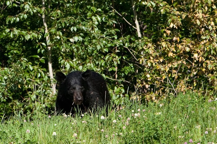
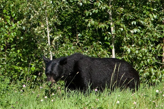
We’ve seen plenty of black bears (and one grizzly) on the side of the road, but today as we drove from Watson Lake to Fort Nelson, this was the first one where I was able to pull over and take a couple photos:

Day357_01

Day357_02

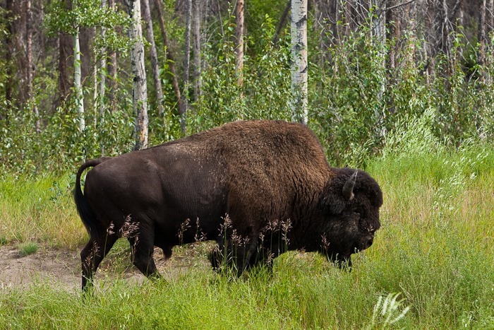
A bit farther on we passed a number of Wood Bison:

Day357_03

Day357_04

Day357_05

Then still further up the road, we had to stop for some Stone Sheep crossing the road:

Day357_06

Day357_07

Day357_08

Day357_09

Day357_10

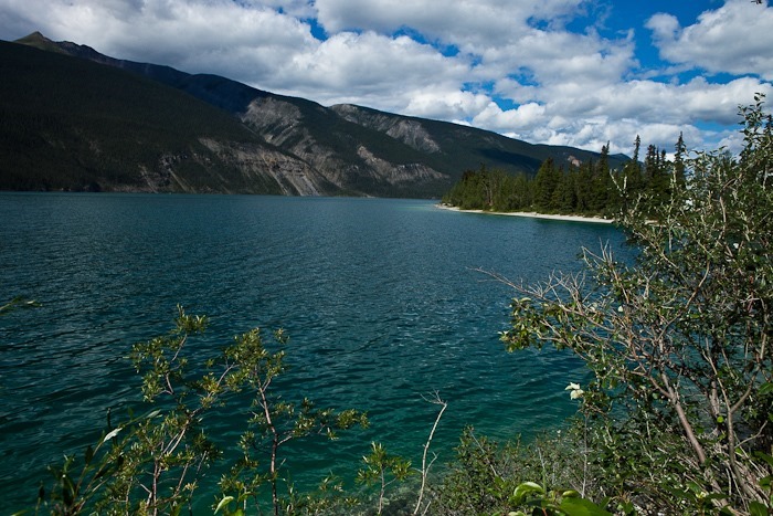
We had lunch at an overlook at Muncho Lake:

Day357_11

Copper oxides brought down by glaciers into the lake saturate the water and give it a blue-green hue:

Day357_12

Just when we thought we were through with Alaskan megafauna, we passed a caribou running along the road:

Day357_13

We arrived at the town of Fort Nelson, and were told at the visitor center that the IGA grocery store allows overnight parking, so we drove over and set up there for the night.  Since sunset wasn’t until 9:45pm, I went for an evening ride. 

About 20 minutes out of town, I encountered a bear on the road.  I waited for it to cross the road, then spoke to it as I rode by him.  We watched each other as I continued down the road.

Eventually, I reached a bridge over the Fort Nelson River:

Day357_14

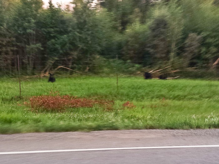
On the way back, I passed three more bears, thankfully with a fence between me and them.  The fence had gaps at the bottom, so I didn’t stop to photograph them, hence the blur:

Day357_15

It was a great ride!  See the trip map for today’s drive.

Day 356: Pamplona is to Watson Lake as Bulls are to…

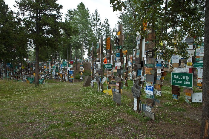
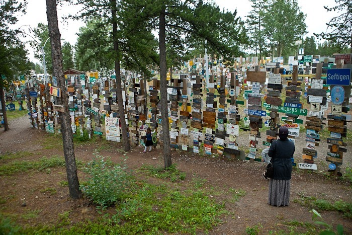
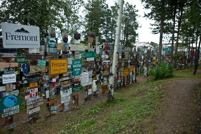
…Street signs, of course.  The kids decided to make a video of themselves running amongst the over 100,000 street signs here in the Sign Post Forest here in Watson Lake, Alaska:

The sign post forest was started by a homesick GI working on the AlCan.  He put up a sign from his hometown here.  Others followed, and the rest is history:

Day356_01

Day356_02

Day356_04

Day356_05

Day356_06

Day356_07

Day356_08

There are of course street signs, but there are also plenty of license plates and pretty much anything that can be written on has been nailed up here:

Day356_09

After viewing the forest, we stopped in at the adjacent visitor center:

Day356_03

The visitor center includes a nice museum on the history of the Alaska Highway:

Day356_10

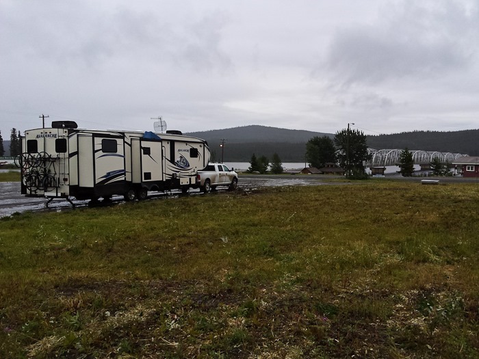
Tonight we’re overnighting just outside of town in a pullout.  See the trip map for today’s drive.

Day 354: Back to Canada

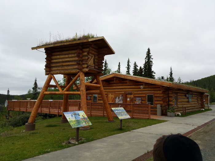
This morning, we stopped at the visitor center at Tetlin National Wildlife Refuge. The visitor center has on display a cache structure. It would be filled with food, tools, and other things need to survive the winter so that if the main cabin burned down, the trapper would still have what he needed to survive through the winter:
image

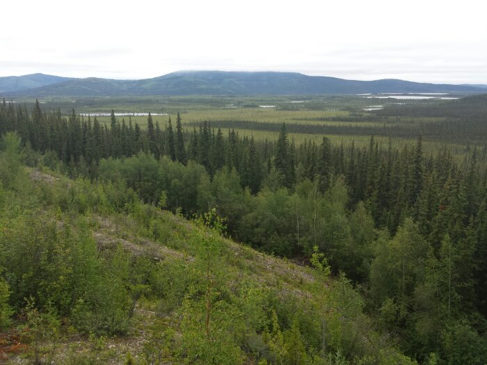
The view from the visitor center on to the refuge:
image

Driving East, we crossed into Canada without incident and continued driving until we reached Haines Junction. On the way, we passed a grizzly grazing on the side of the road as well as another pair of bears running along the rosd a while later. We also wound our way around the shore of Kluane Lake, which had emerald green water. Quite the view of the St. Elias mountains from Haines Junction:

image

Unfortunately, there was a good bit of road construction and some of the road was dirt, so our truck is dirty again:

image

Tonight, we are overnighting in a grocery store parking lot in Whitehorse, Yukon Territory. See the trip map for driving details.