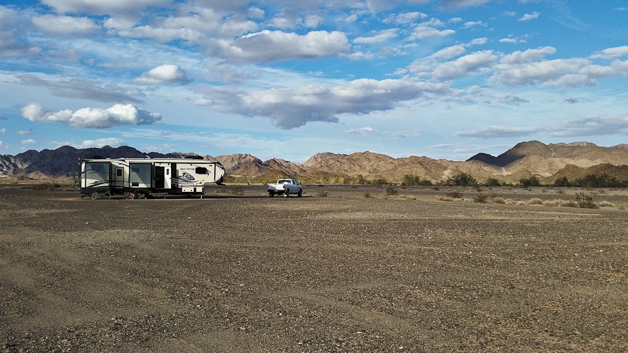
Day 569: Discovering Military Aircraft Crash Site

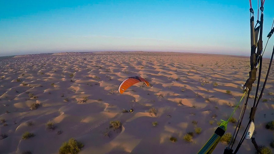
This morning I got up before dawn and managed to take off at sunrise on flight #38:
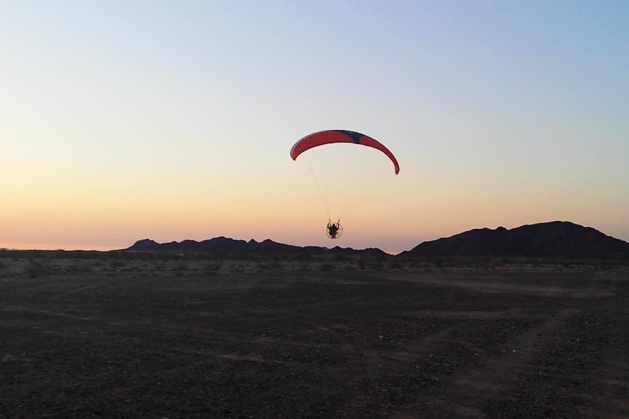
vlcsnap-2015-02-28-22h31m42s176-1

I flew roughly 4 miles west to Ogilby Campground where Greg was camped.  The camping area is on the edge of the dune field:

Day569_01

Greg took off and joined me:

Day569_02

Greg and I both use helmet video cameras, and Greg got some shots of me flying:

Day569_03

Day569_04

Day569_05

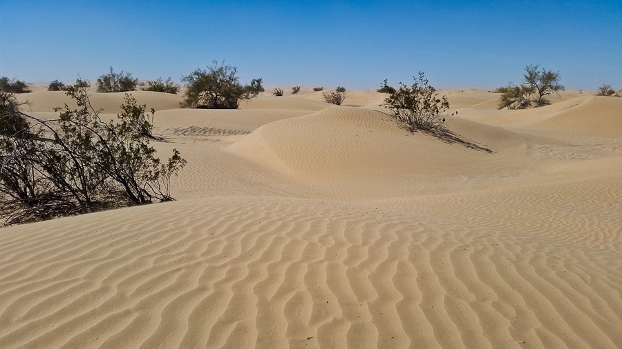
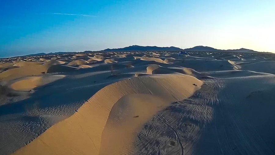
The dune field extends for miles in every direction, dwarfing our paragliders:

Day569_06

At one point we both flew low over the dunes, following the contours of the dunes.  Greg is in front of me here:
Day569_07

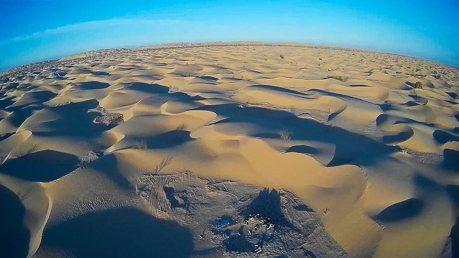
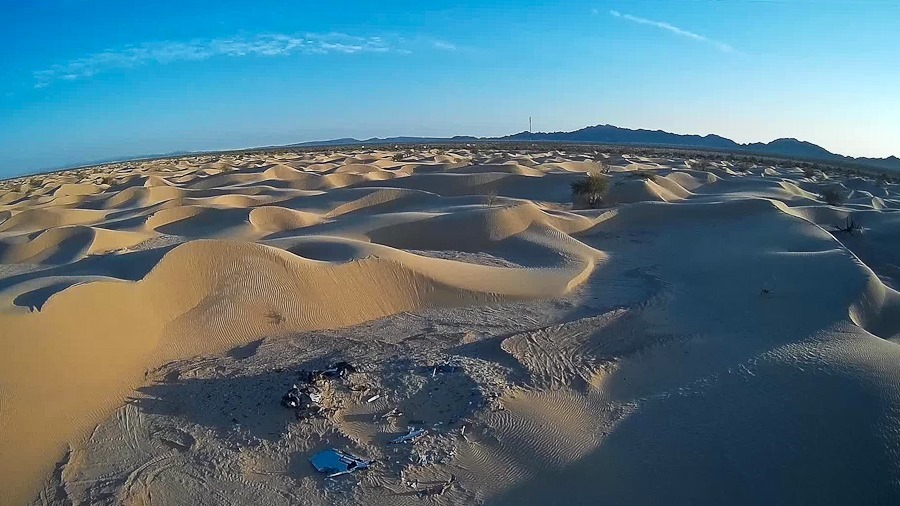
At one point, Greg radioed to me that we had flown over a crash site.  I flew over a few times, and could clearly see the military insignia on the largest piece of debris:
Day569_08

Day569_09

Day569_10

After a while I said goodbye to Greg and flew home.  At 56 minutes, this was the longest flight I’ve flown so far:

After breakfast, we all drove over to meet Greg.  We decided to take a closer look at the crash site.  Since we don’t have a permit for the dunes, we parked about half a mile from the edge of the dune field on private land:

Day569_11

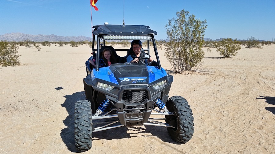
M rode with Greg in his RZR:

Day569_12

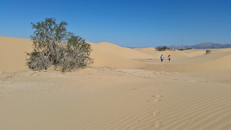
Trish and B and I walked to the crash site.  Using the GPS track from the flight, I was able to lead us to the crash location:
Day569_13

Day569_14

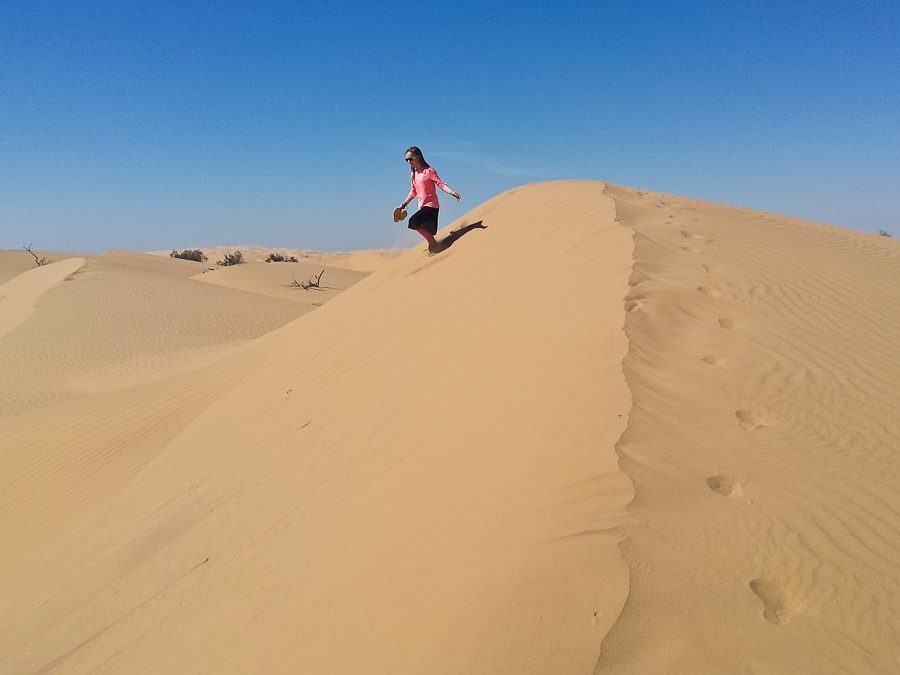
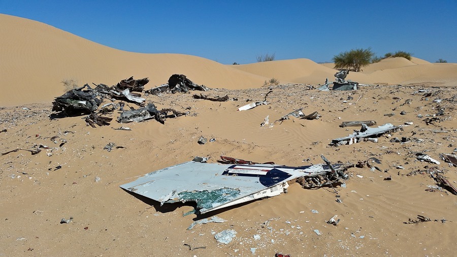
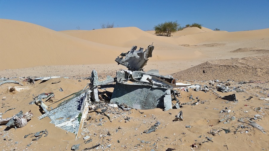
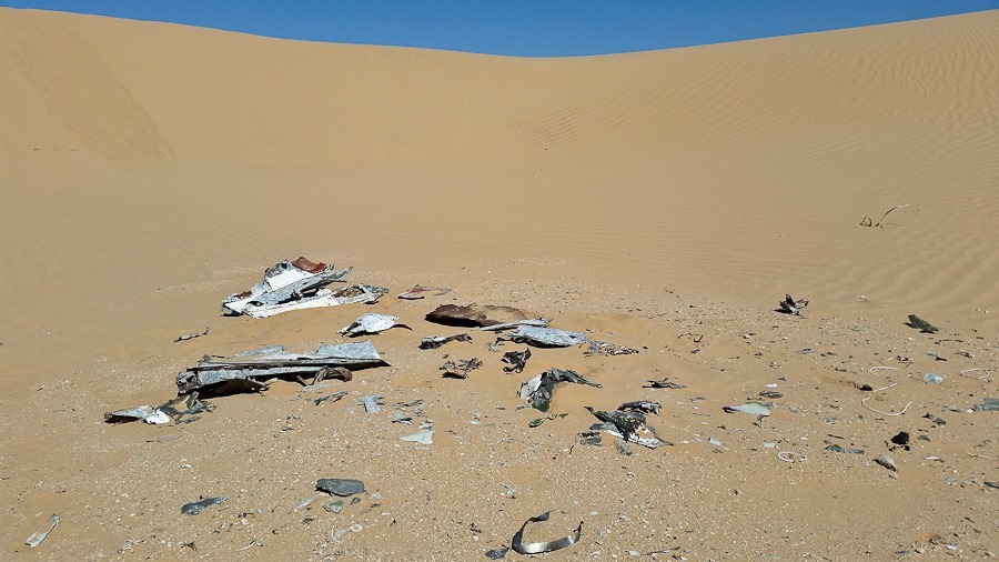
After a half a mile of traversing the dunes, we arrived at the crash site:

Day569_15

Even at a distance, I began to find fragments:

Day569_16

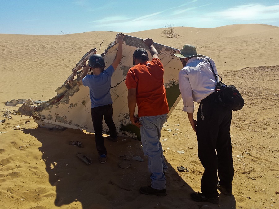
This largest piece was quite large:

Day569_17

We briefly lifted it to see if there were any markings on the underside:
Day569_18

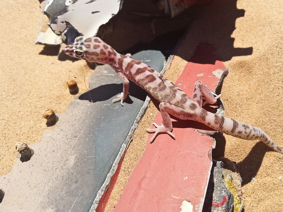
This fellow was hiding under there:

Day569_19

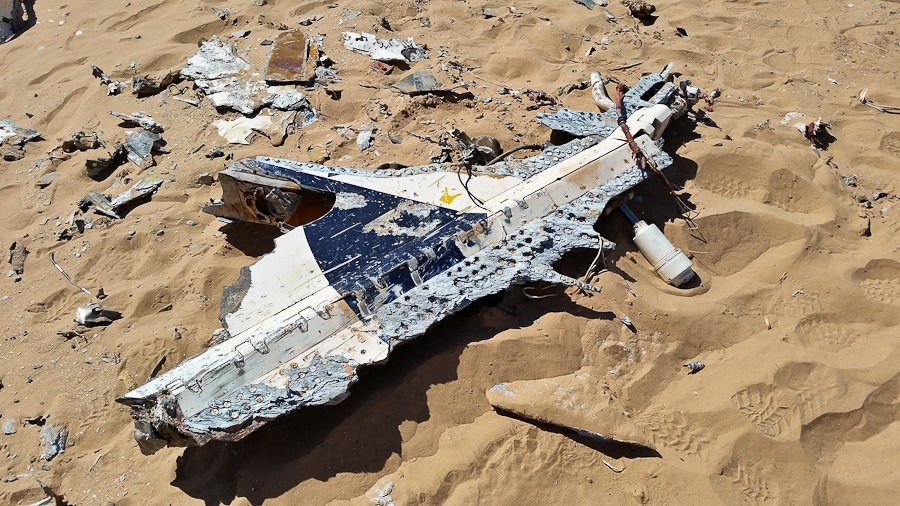
I found an edge-on plate that identified the fragment as coming from an F-4 Phantom II.  I realized that it was one of the wingtips, which were hinged:

Day569_21

Here’s the wingtip:

Day569_22

It’s the most brightly lit portion of the wing, top-most in this photograph:

440px-F-4J_VF-96_Showtime_100_armed_from_below

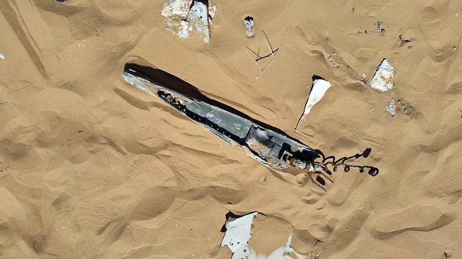
We thought this might be the end of the hook used for carrier landings:

Day569_23

Day569_24

Day569_25

Day569_26

Day569_27

Day569_28

Day569_29

Day569_30

Day569_31

Day569_32

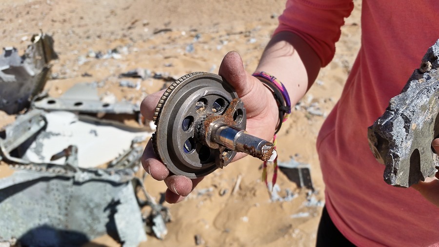
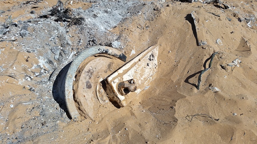
This looks like landing gear:
Day569_33

After looking around the crash site for a while, Greg got out his R/C truck.  It was impressive!

Day569_34

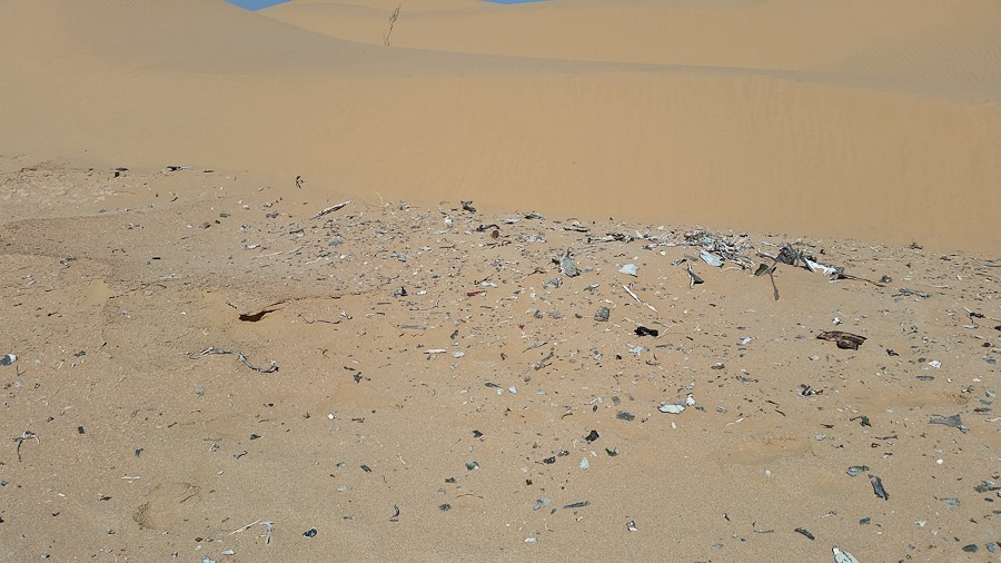
On the way back, we found adjacent areas in the dune field that had smaller debris.  The impact must have spread debris over a large area, as I think some of these fragments were too heavy to have been blown here:
Day569_35

Day569_36

Day569_37

Day569_38

Day569_39

Day569_40

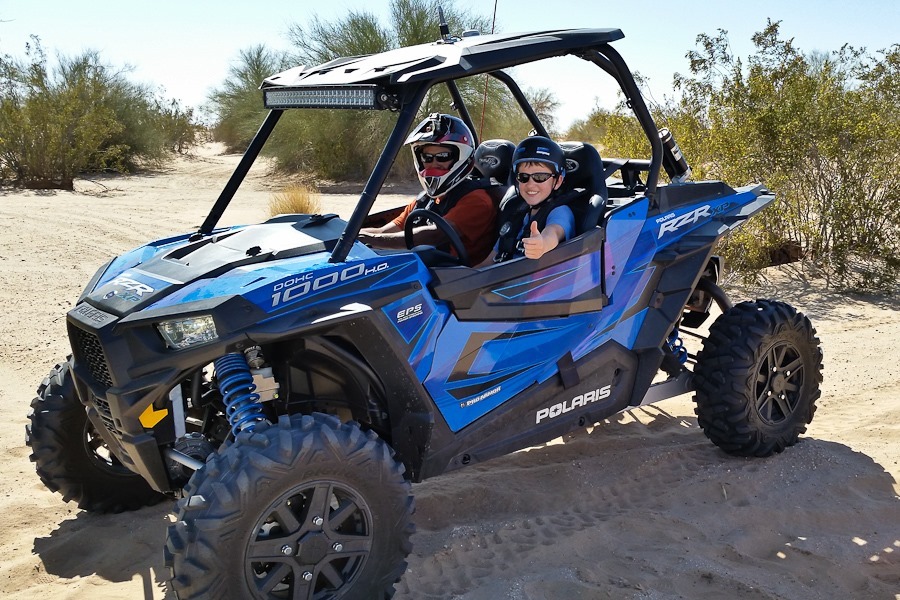
Greg gave M a turn at driving.  Look at that smile:
Day569_41

We also watched Greg fly his R/C plane:

Day569_42

The ladies took a turn in the RZR:

Day569_43

Greg and I had a great flight this morning, and this was the second time we’ve flown together, the first time being at Salton Sea a few weeks ago.  We said goodbye to Greg and hiked the half mile back to the truck:

Day569_44

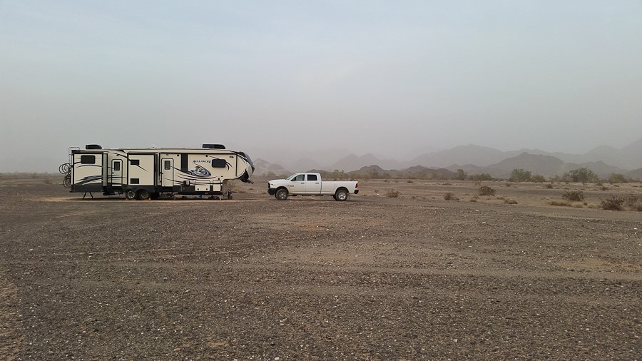
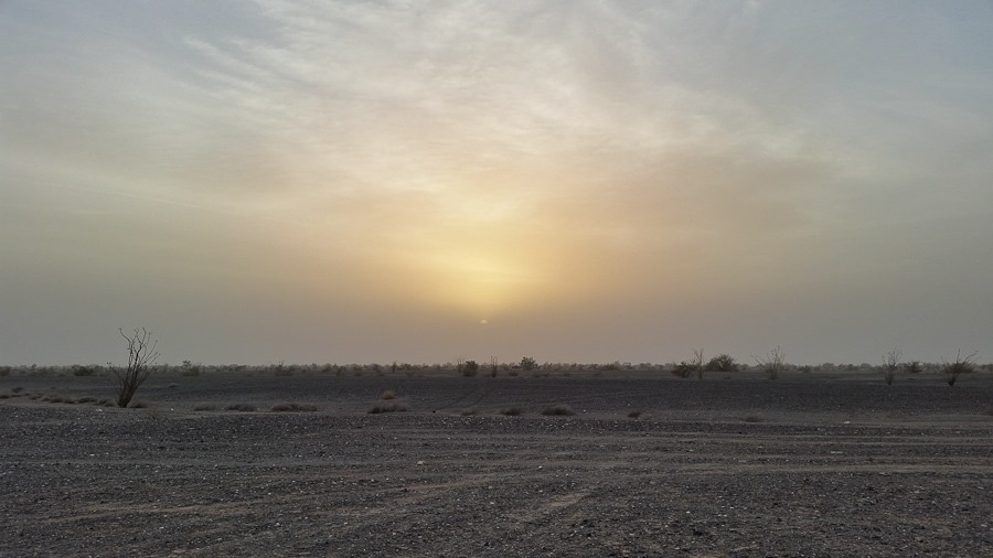
The wind really picked up towards sunset, filling the air with dust and reducing visibility:
Day569_45

Day569_46

Good Shabbos from Ogilby Road!
Day 568: Another Day in Ogilby

This morning I got in a flight, but it was sufficiently turbulent that after trying in vain to find an altitude with stable air, I came back and landed:

Day568_01

Day568_02

Day568_03

My parents had purchased this Gumby-esque phone holder for us a while back, and Trish found a use for him holding the radio while the I have the other one in the air:

Day568_04

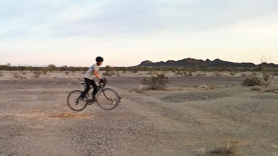
After a full day of homeschool, M and B built a jump for their bikes:

Day568_05

Day568_06

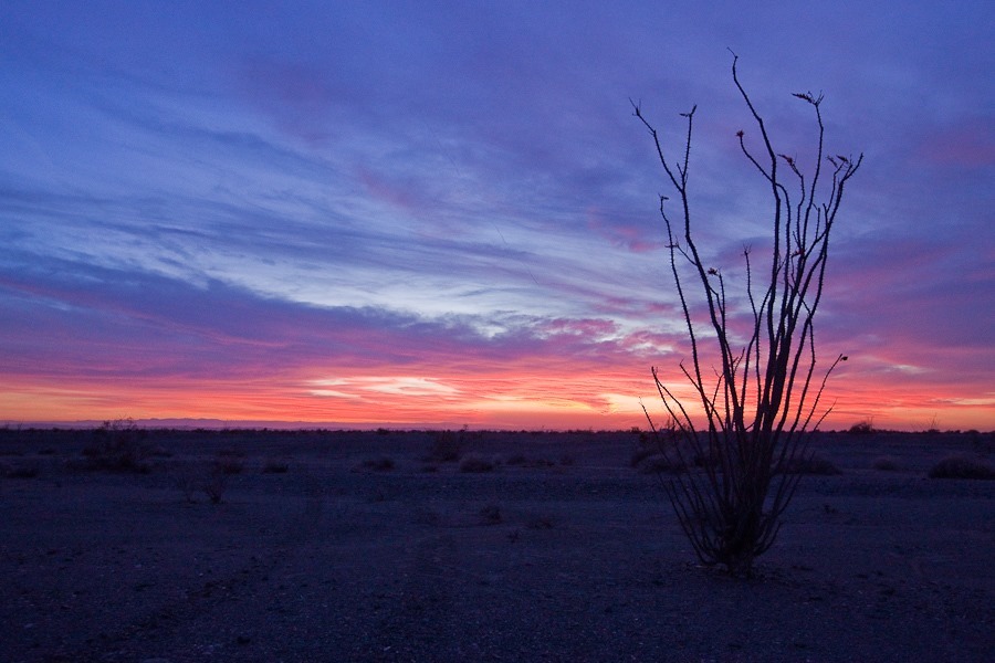
My PPG buddy Greg called to let me know he had arrived at the Ogilby Campground adjacent to the dunes, about 4 miles from here, but winds were gusty so we decided not to fly.  We had an amazing sunset:

Day568_08

Day568_09

Tomorrow morning I hope to fly over to meet Greg, and we will fly the dunes together.

Day 567: Flying, Biking, and Homeschool

This morning the winds that we’ve had for the last four days have gone, so I went for a morning flight:

Day567_01

Flight #36 takeoff:

Day567_02

It was a bit bumpy, so I decided to just fly over the area and look at all of the tiny RVs below:

In homeschool today, M did an experiment involving igniting gases liberated by mixing hydrogen peroxide with water:

Day567_04

Day567_05

B built a project involving two ICs that plays a game.  When light 4 lights, the two players each try to touch their wires together first.  If the left player wins by touching the wires together first, light 3 turns off and light 2 turns on.  If the right player wins, light 5 turns off and light 6 turns on.  If either player touches their wires together before light 4 turns on (signaling “go”), the LED segment display indicates a foul with the letter “F”.  Here, the right player has fouled, so F is indicated and the right players light 5 has transitioned to light 6 to indicate that the right player was the one that fouled:

Day567_06

This afternoon I rode north on Ogilby Road, it being the only paved road here.  At mile 11 or so I passed the ruins of an old structure:

Day567_03

Tonight we had a campfire and roasted marshmallows.  We burned the stump of one of the dead ocotillos we had harvested:

Day567_07

Day567_08

Day567_09

Day 566: Investigating Ogilby Campground

I found out today that my PPG buddy Greg is coming out to the area for the weekend.  Greg likes to camp near the dunes so he can drive around in his RZR.  I offered to check out Ogilby campground, which is the dune field campground nearest to where we are camping.  Perhaps calling it a “campground” is a bit generous, but at least there’s plenty of room to take off:

Day566_01

The dunes start about 100 yards beyond the campground:

Day566_02

Down here, all of the BLM land on the West side of Ogilby Road is in the BLM’s use fee area for the dunes.  Once a vehicle is parked, it can be ticketed if it doesn’t have a $35 per week or $150 per year pass.  For the first mile or so along the access road on the way to the campground, there are a few private inholdings.  One of them has a mobile home on site, and there’s a sign welcoming folks to “Geezertown”.  For a donation of one’s choosing, an RV can be parked here on the 160 acre private parcel, which avoids both the BLM fee and the two week camping limit on BLM land.  The land owner, who lives in the mobile home, also operates a mobile RV sewage and fresh water service.  He also fills propane canisters.  Clever!

Today was very windy and also cool, with highs in the low 70s.  Towards sunset the shadows lengthened:

Day566_03

I’m hoping that winds are calm tomorrow morning and I can get in a flight.

Day 565: School in the Desert

Today was another windy day in the desert, but again we had great clouds:

Day565_03

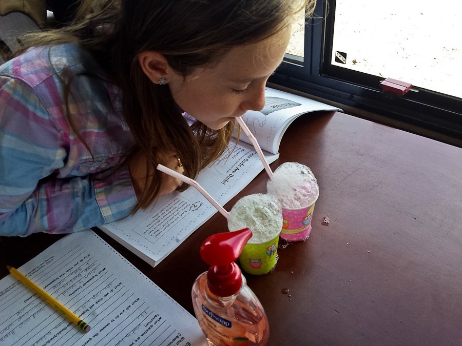
B did a science experiment which found that a soap solution with plaster of paris in it bubbled less than one without plaster of paris:

Day565_01

Trish put together a work involving matching countries in Europe with their flags:

Day565_02

While B worked on Europe, M worked on one of his short stories in his writing class:

Day565_04