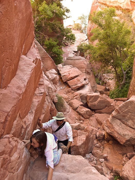
Day 631: The Waterpocket Fold and Wingate Sandstone

This morning M and I drove a couple miles to the Escalante Airport where I flew post-training flight #49.  At 5,700 above sea level, the paramotor provided quite a bit less thrust than at sea level:

Day631_02

B photographed me flying over the RV:

Day631_03

Cleaning up after the landing:

Day631_04

There were plenty of interesting planes at the airport:

Day631_01

Day631_05

Day631_06

Day631_07

I had spotted this pond under an overhang near the RV from the air, so the kids and I hiked out to find it:

Day631_08

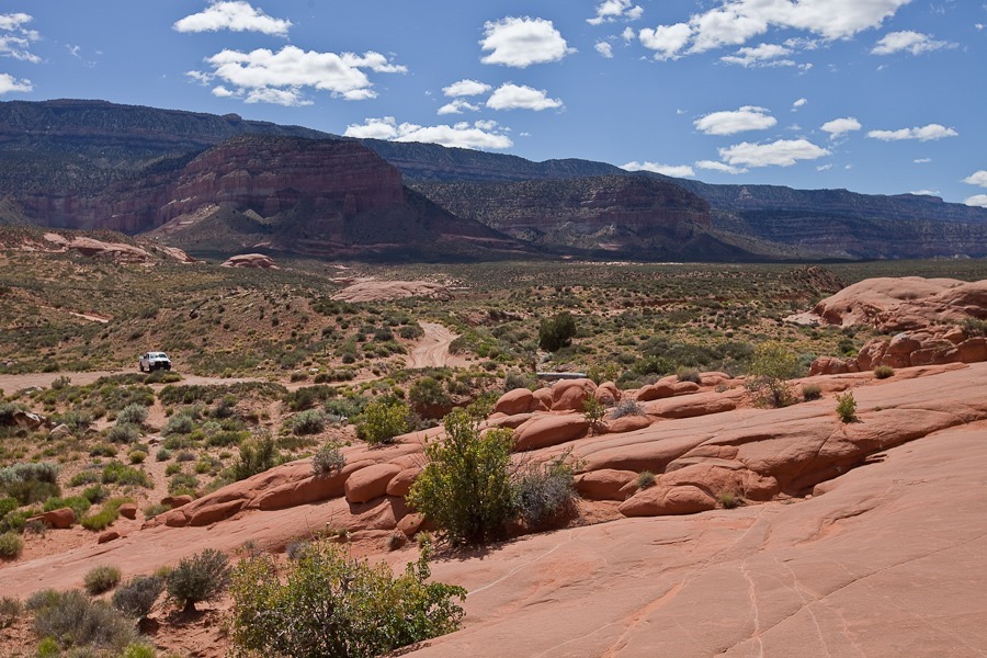
We hitched up the RV and drove north to the village of Boulder, then south and east on the Burr Trail.  We dropped off the RV in a dispersed camping area along the road, then drove to the end of the pavement, leaving Grand Staircase-Escalante National Monument and entering Capitol Reef National Park.  We turned north on Upper Muley Twist Canyon Road to drive through a wash towards a trailhead:

Day631_09

Careful aim was necessary in a couple places:

Day631_10

Day631_11

Day631_12

Day631_13

We passed Cheerios Double Arch:

Day631_14

Hiking on the trail, we spotted this interesting lizard:

Day631_15

Day631_16

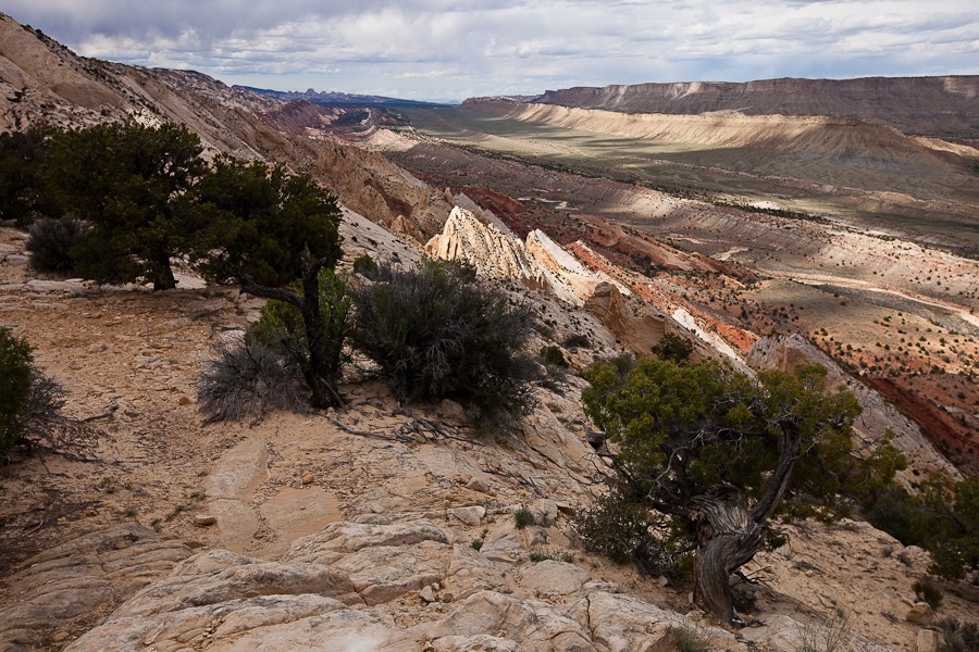
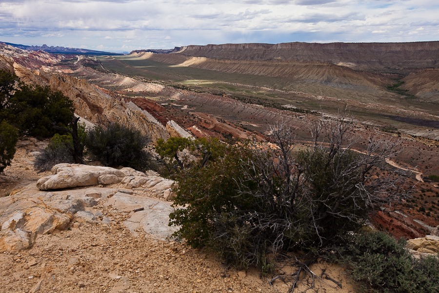
After a half mile or so we reached the Strike Valley Overlook, where we could see the Waterpocket Fold, the largest monocline in North America

Day631_17

The Waterpocket Fold extends for over 100 miles, and we could see it stretch to the horizon to the left and right:
Day631_18

Day631_20

A panorama of the Waterpocket Fold:

Day631_21

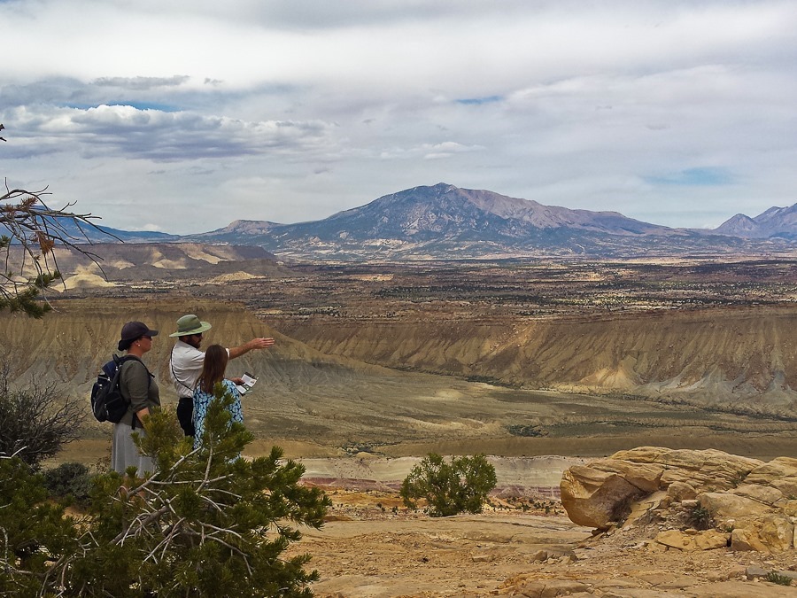
M caught me working my inner park ranger:
Day631_23

Day631_24

Day631_25

On the way back to the RV, we stopped at the trailhead for Little Death Hollow Canyon:

Day631_28

The canyon doesn’t get narrow until four miles from the trailhead, but we figured it would make a nice hike anyway:

Day631_29

Day631_30

The sign at the trailhead warned against scaring grazing cows deep into the canyon:

Day631_31

We found some pictographs along the way:

Day631_32

Day631_33

Deeper into the canyon, we found quite a bit of petrified wood:

Day631_35

B found cow remains:

Day631_36

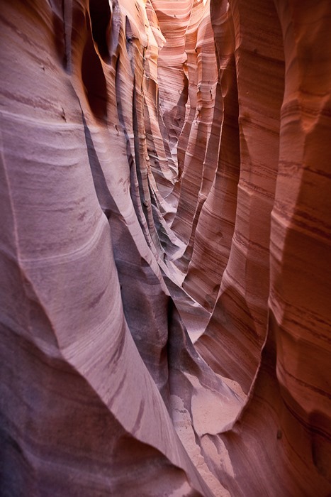
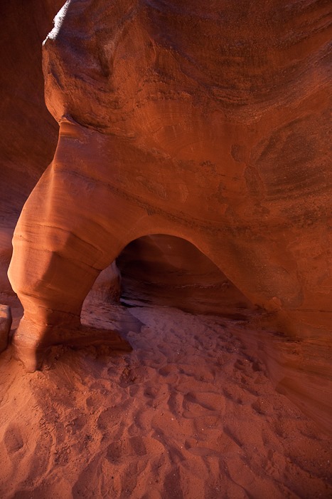
Little Death Hollow is one of a handful of slot canyons in Wingate Sandstone, which is usually too hard to form slot canyons, as opposed to the softer Navajo Sandstone where slot canyons are common.  The stones have interesting patterns up close:

Day631_37

Day631_38

Day631_39

Day631_41

Heading back out:

Day631_42

Day631_43

We saw other interesting formations as we drove back to the RV:

Day631_44

Day631_45

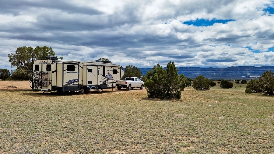
We got back to the RV just a bit after sunset.  Even with the cellular booster, we have neither Verizon nor AT&T signal here:

Day631_46

See the trip map for today’s drive and our current location.

Day 630: Riding the Escalante Plateau

This morning we decided to have a rest day after the days of hiking we’ve been doing.  I had a bit left, so I went out for a short morning ride up and down a couple good climbs north of Escalante.  At a scenic pullout, I could look down on the road ahead:

Day630_01

Day630_02

After a while I arrived at the top of the second descent:

Day630_03

After riding along the Escalante River for a while, I turned around at the foot of this climb:

Day630_04

For the rest of the day we did miscellaneous tasks around the RV.

Day 629: Hike to Zebra and Tunnel Canyons

This morning we went back into town for more groceries.  On the way, we stopped at the Escalante Heritage Center, which has a replica of one of the wagons that plunged through Hole in the Rock:

Day629_02

Day629_01

Portraits of the Hole in the Rock traversal:

Day629_03

Day629_05

In the temporary visitor center, we watched a short film about the San Juan Expedition.  The center also had a few items on display, including the original switchboard from the town of Escalante:

Day629_06

Day629_07

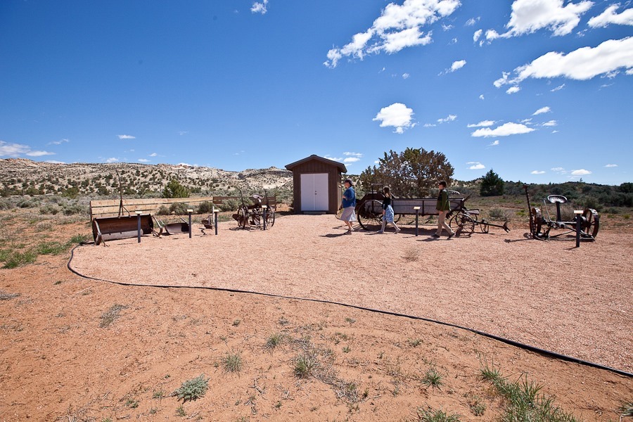
We perused the farming implements out back:

Day629_08

Driving south on Hole in the Rock Trail, we arrived at the unmarked trailhead for Zebra and Tunnel Canyons:

Day629_09

Off we go:

Day629_10

This puddle in the creek bed sported a few hundred tadpoles.  Hopefully they will become frogs before it dries up:

Day629_11

Along the way we found this dry waterfall structure:

Day629_13

Looking into the bowl:

Day629_12

Day629_14

Day629_15

This plant has its roots behind the rock face, where they pop out below:

Day629_16

The kids imitated the sound made by the ants in Them! as taught to them by Bubbe and Zayde:

Day629_17

Day629_18

The “shell” and interior of Moki Marbles, Iron Oxide concretions that fall out of the canyon walls when the softer surrounding Navajo Sandstone weathers away:

Day629_19

Day629_20

After almost three miles of hiking, we reached the mouth of Zebra Canyon:

Day629_21

Day629_22

Moki Marbles still in the wall (right), and weathered out of the wall (left):

Day629_23

The canyon became a slot canyon:

Day629_25

Day629_26

Day629_27

At the end of this serpentine-floored “hallway”, we had to go up:

Day629_28

Day629_31

Day629_32

Day629_35

After getting up, we reached a water filled pothole that we couldn’t get around:

Day629_36

Day629_38

Down we go:

Day629_37

Day629_39

M is quite the canyoneer:

Day629_40

Heading out of Zebra Canyon:

Day629_41

We hiked towards Tunnel Canyon:

Day629_42

Day629_43

Day629_44

Tunnel Canyon is sealed at the top, creating a tunnel:

Day629_45

More Moki Marbles:

Day629_46

On the other side, we found a bit of water and a huge bee colony coming out of a crack in the rock:

Day629_47

Heading back in:

Day629_48

Day629_49

Shadows lengthened as we made our way back to the truck:

Day629_50

We hiked a little over 7.5 miles.  We were pretty tired by the time we returned home:

Day 628: Escalante Slot Canyons and Mormons in Wagons

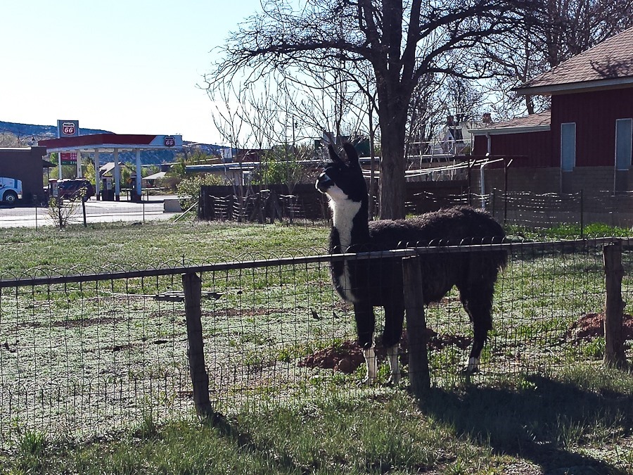
This morning, Trish went into town to buy some groceries.  She visited the llama living across the street:

Day628_01

We drove south on Hole in the Rock Trail to the trailhead for Spooky and Peek-A-Boo canyons:

Day628_02

We started hiking towards the canyons:

Day628_03

Day628_04

Day628_05

Day628_06

Day628_07

Day628_08

Day628_09

Day628_10

After a couple miles, we reached the mouth of Spooky Canyon:

Day628_11

Day628_12

Day628_13

Day628_14

The canyon quickly grew narrow:

Day628_15

Day628_16

Day628_17

Day628_18

…And more narrow:

Day628_19

Day628_20

Day628_21

Day628_22

Day628_26

Day628_27

Eventually we came to a rock fall that forced us to go up eight feet or so:

Day628_23

Day628_24

Day628_25

Once out of the hole, the canyon became more shallow:

Day628_28

Once out of the canyon, we hiked west to find the top end of Peek-A-Boo Canyon, which is the next canyon over:

Day628_29

Day628_30

Day628_31

Day628_32

Day628_33

Day628_34

Peek-A-Boo starts out shallow on the top end:

Day628_35

…Then becomes a slot canyon:

Day628_36

Day628_37

After exiting Peek-A-Boo Canyon, we explored a nearby wash, which was not as narrow but had much higher walls:

Day628_38

Day628_39

Day628_40

We then hiked back to the truck:

Day628_41

On the drive out, we said hello to our free-range neighbors:

Day628_42

Day628_43

Our next stop was Dance Hall Rock, where the Mormon pioneers of the San Juan Expedition held dances on the smooth sandstone under the natural alcove in the rock:

Day628_47

Day628_48

Day628_44

Trish spotted a lizard on the rock to the right:

Day628_45

Day628_46

Day628_49

We continued south, and the road became very rough and difficult.  At last we reached the Hole in the Rock, where the San Juan Expedition widened this natural crevice in order to get their wagons down the 1200 vertical feet to the Colorado River, where they crossed to the east side:

Day628_50

Day628_51

We started down:

Day628_52

Here’s what it looked like back in the day:

Day629_04

When the “road” was completed in 1880, this canyon was filled in to make a smooth grade down to the river.  In other portions, a raised roadway was built on top of poles that extended from wall to wall:

image

All of that is gone now, so it’s even tougher going:

Day628_53

Day628_54

Day628_55

We went down about halfway.  Where we see modern-day Lake Powell, the San Juan Expedition would have seen the Colorado River snaking through the canyon far below:

Day628_56

Day628_57

Heading back up:

Day628_58

Day628_59

Day628_60

Day628_61

We passed a nursing calf on the way home:

Day628_62

We returned to the RV shortly before sunset:

Day628_63

Day628_64

See the trip map for today’s drive.

Day 627: Relocating to Escalante

We had a nice Shabbos near Kodachrome Basin State Park.  Today we drove north and east towards the town of Escalante.  As we crested the pass, we could see snow capped peaks in the distance:

Day627_01

In Escalante, we stopped at the interagency visitor center there.  We enjoyed the displays:

Day627_02

B examined a sample of cryptobiotic soil:

Day627_03

We found a nice spot in this part of Grand Staircase-Escalante National Monument to disperse camp for a few days:

Day627_04-2

See the trip map for today’s drive and our current location.