This morning we drove from our Shabbos roadside campground to the visitor center at Tombstone Territorial Park:

The view from the parking lot was stunning. In Tombstone, the “Patagonia of the Yukon”, Boreal forests give way to Tiaga and then to Tundra:


We left the RV at the visitor center and drove North to an overlook:
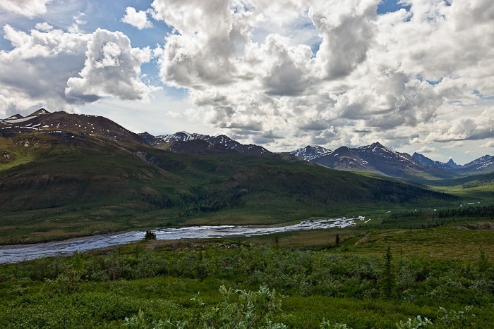
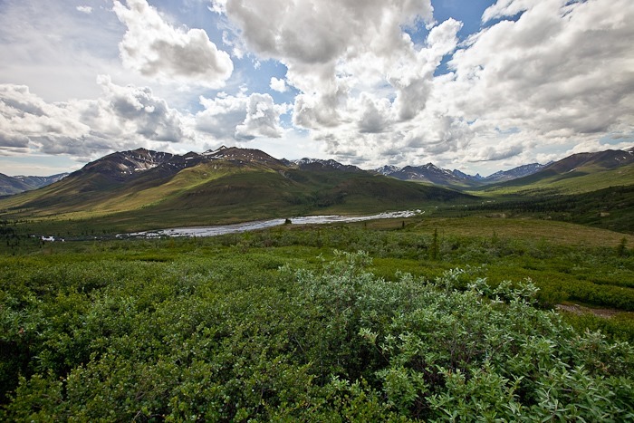

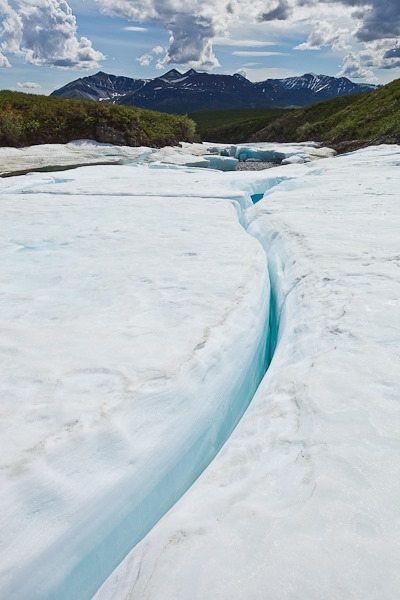
Continuing North, we crossed a river with glacier-like ice formations:

There were ice caves beneath the “glacier” in several locations:


This 6-inch high crack went all the way through to the other side:
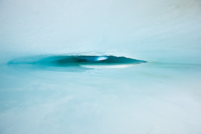
More ice caves:

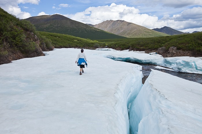



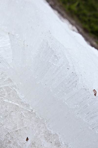
In places, the ice formed 6-inch long fibers that fell off the ice shelf with a little effort:

After continuing North for another 20 miles and failing to see Moose at Two Moose lake, we went for a hike across the tundra. The thawed surface soil site atop permafrost, so when the surface soil thaws there’s nowhere for the water to go. Walking on Tundra feels like walking on a giant kitchen sponge:

Tundra vegitation is only inches high and is primarily mosses and lichens:

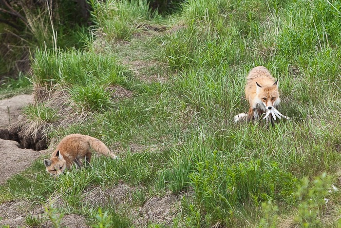
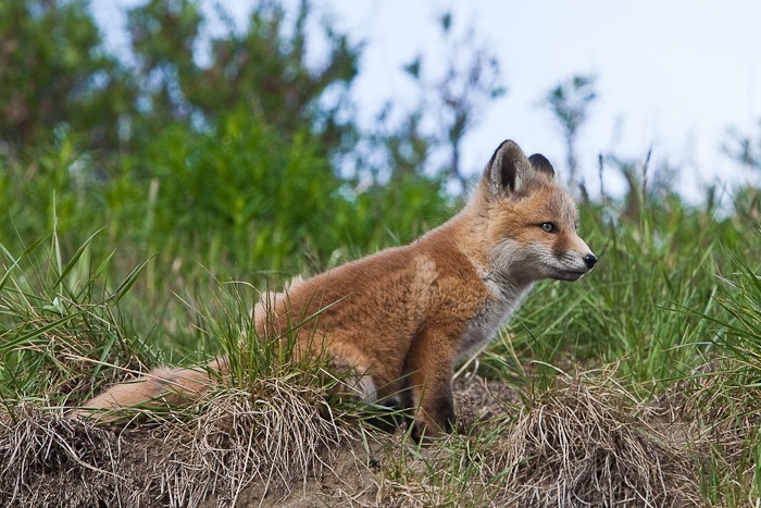
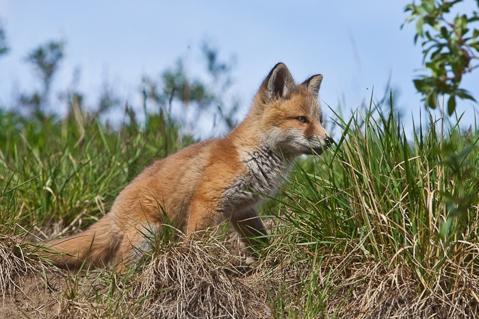
On the way back, we passed a parent and child fox who had caught a ptarmigan:



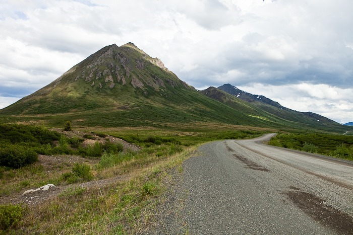
More scenic roadside views:


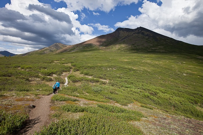
We hiked up to the shoulder of Goldensides Mountain:
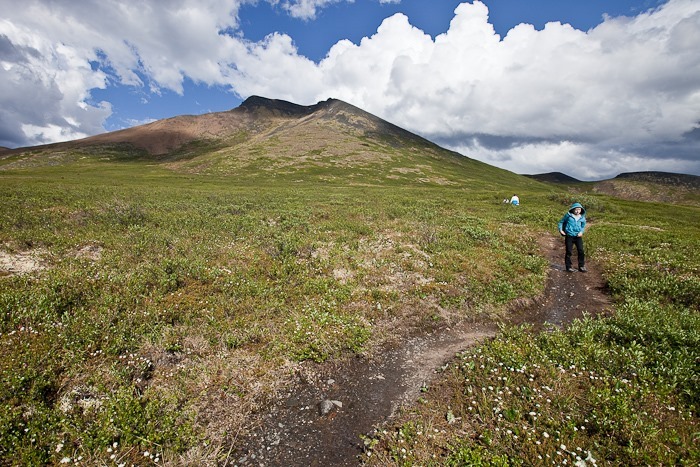


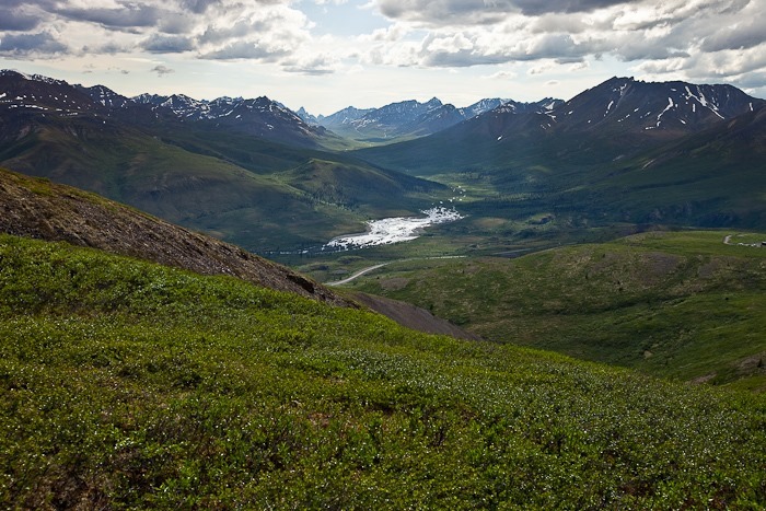

Quite the view from the top:


After the hike, we drove back to the visitor center, showered, had dinner, and decided to overnight in the parking lot, which was OK since the campground was full. Tomorrow we’ll head into Dawson City, where the Yukon gold rush began!


 Facebook
 Email
Email
Stunning photos!
Thanks, it’s stunning country!
Great photos of the fox, especially the kit!!!