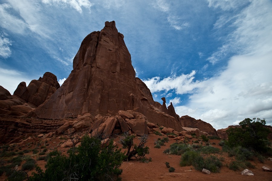
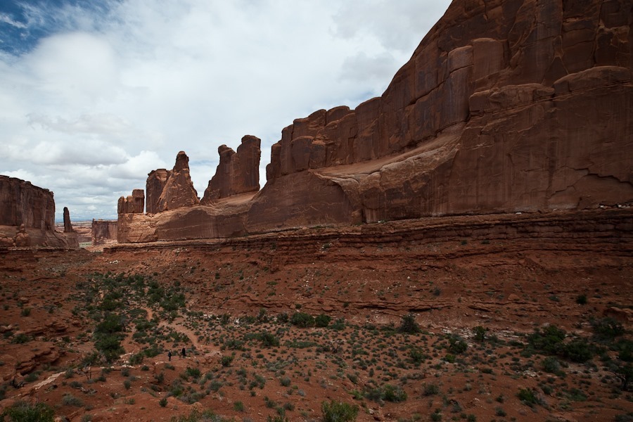
Today we visited Arches National Park. We were last here on Day 17 of our 2011 Vacation, so this time we focused on areas we didn’t get to see last time. Our first stop was the area called Wall Street:
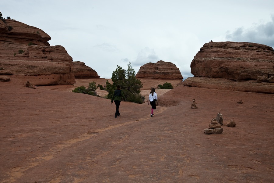
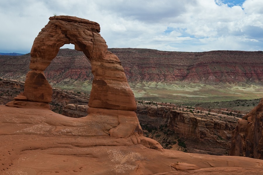
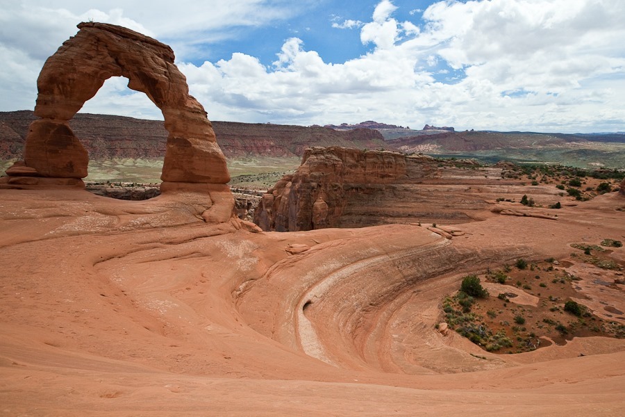
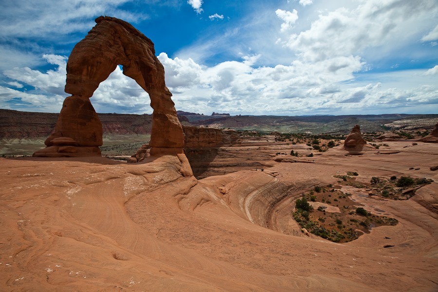
Next we drove to the Delicate Arch trailhead and hiked the trail to the arch:
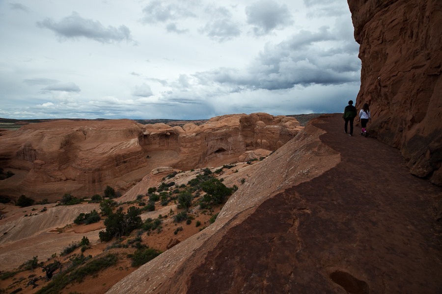
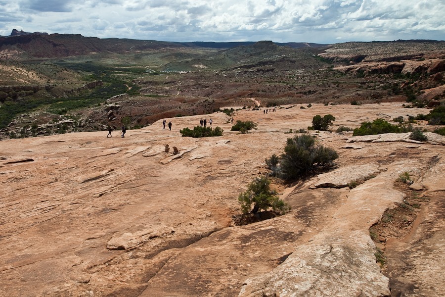
A portion of the hike follows a ledge above the canyon below:
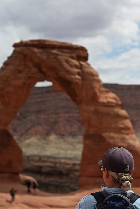
We had a bit of company at the arch:
M watching from a distance:
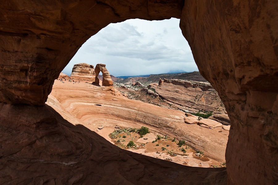
Delicate Arch seen through Frame Arch:
Hiking back to the truck:
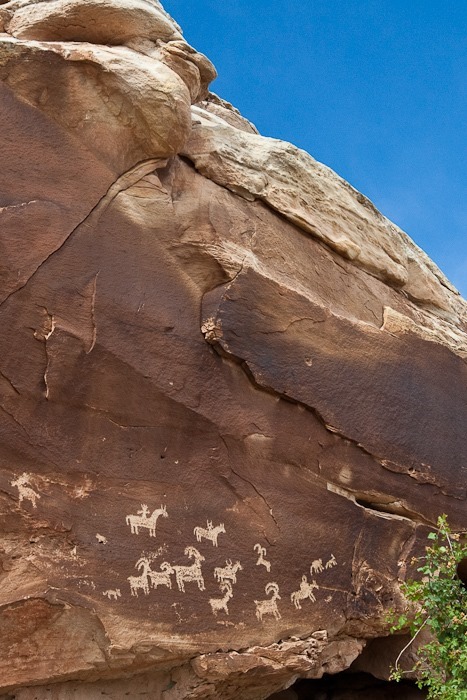
Near the parking lot, there’s a 16th century pictograph site:
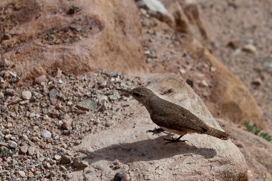
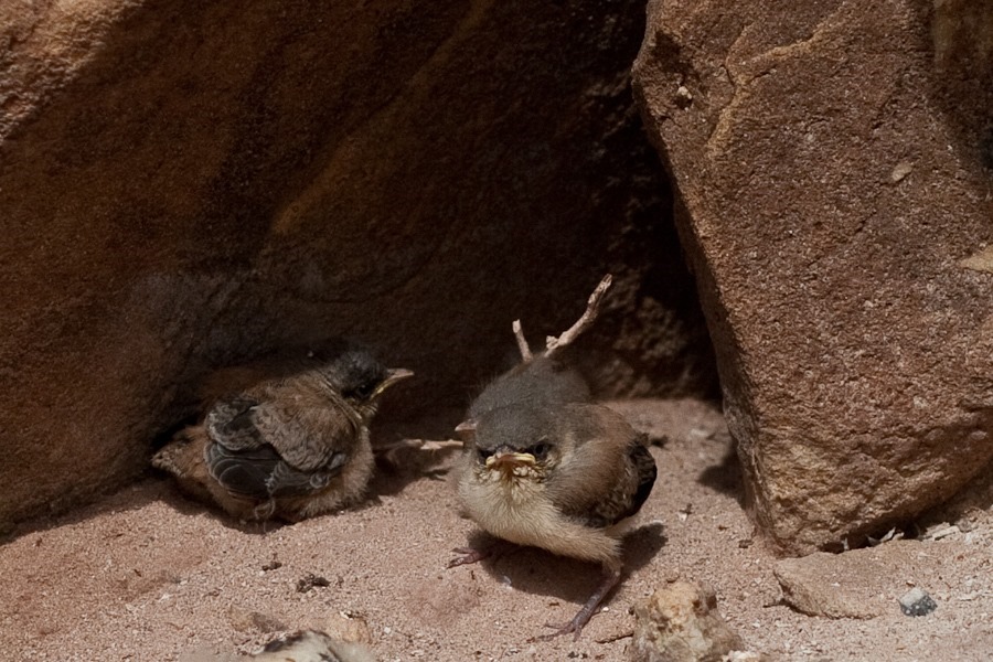
We also found this bird feeding its young:
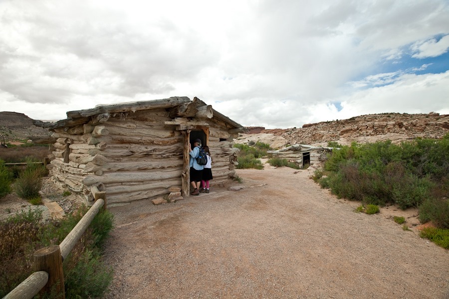
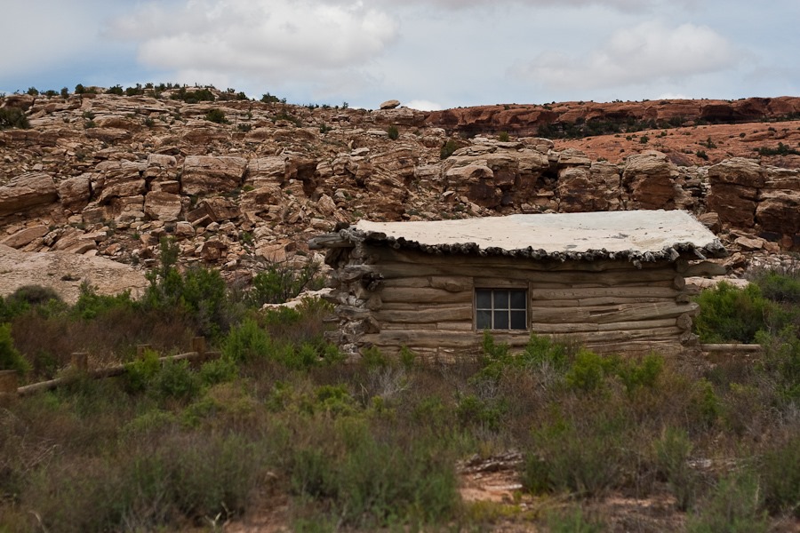
Cabins from 19th century homesteaders are also on display here:
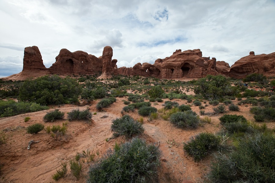
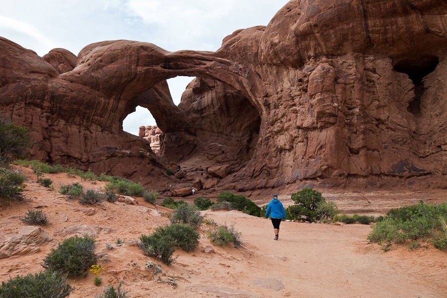
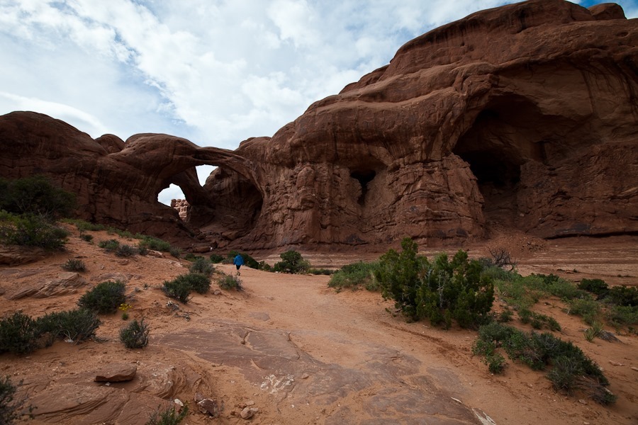
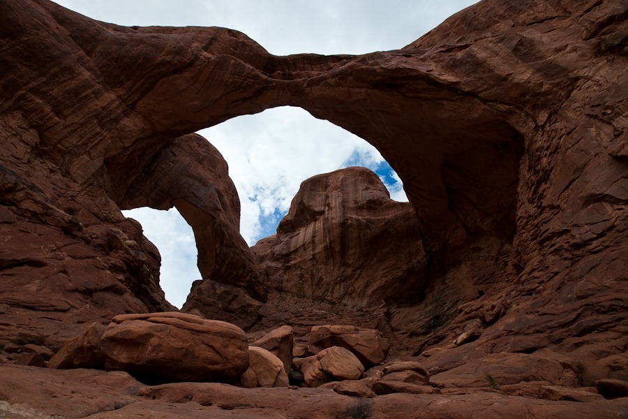
We drove on to the Windows section of the park. Our first hike was to Double Arch, the highest arch in the park:
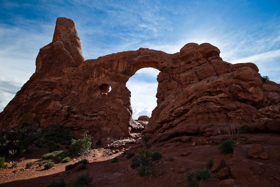
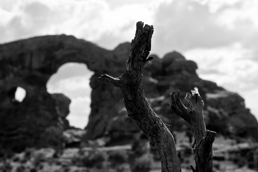
Next we hiked to Turret Arch:
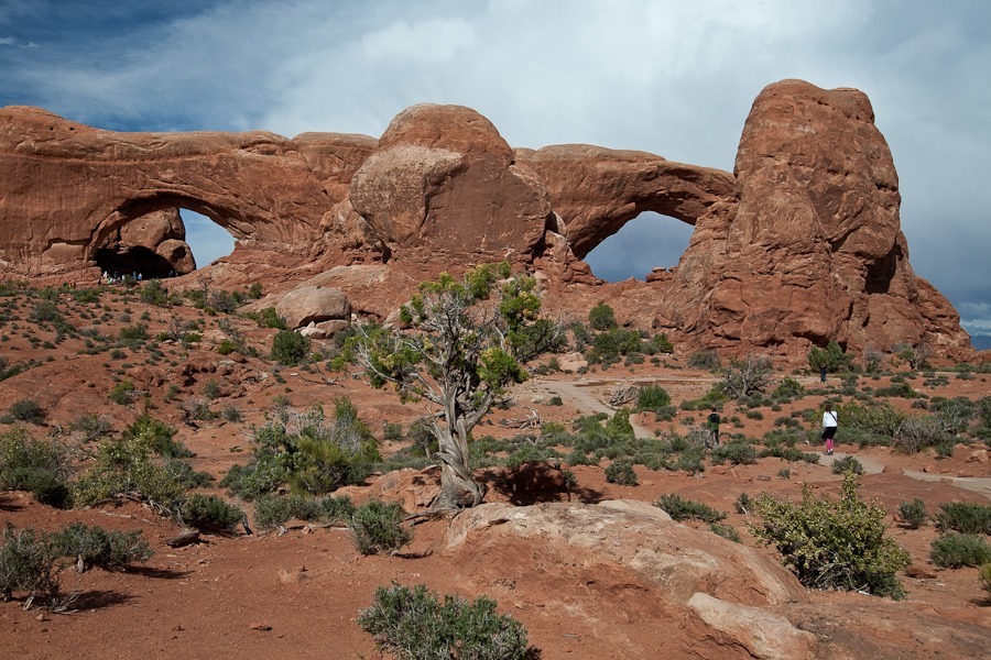
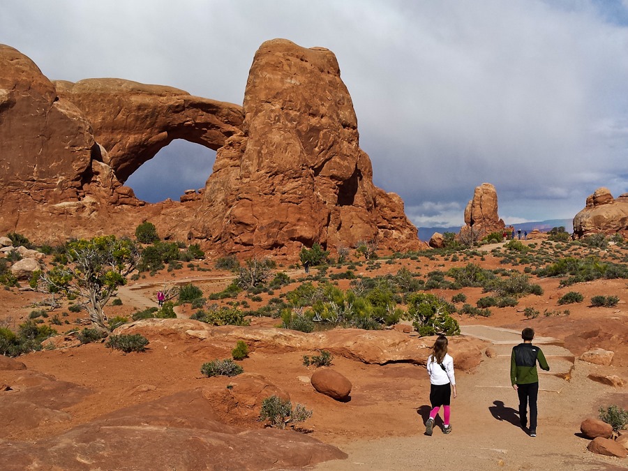
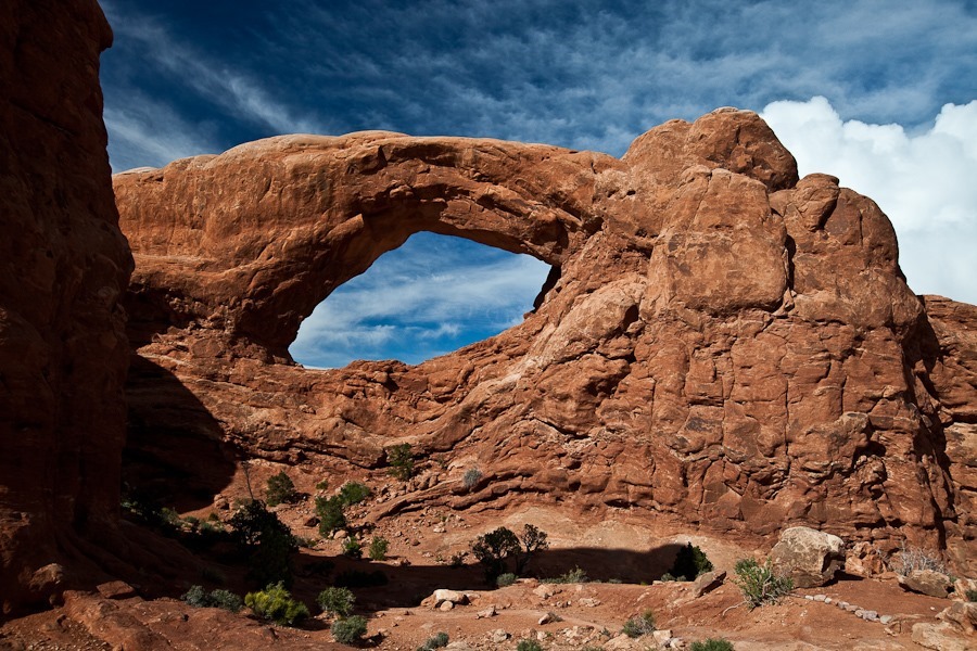
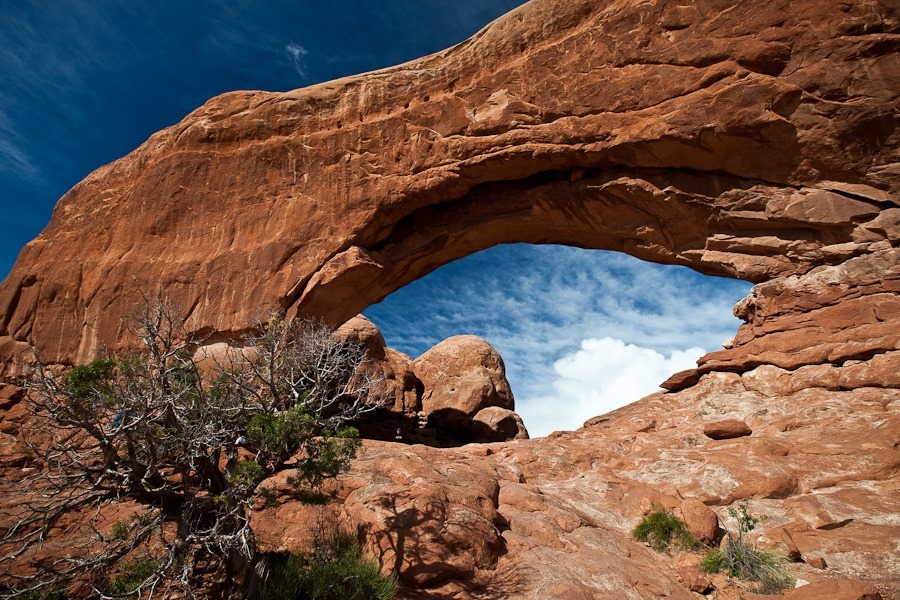
…And then on to North Window and South Window:
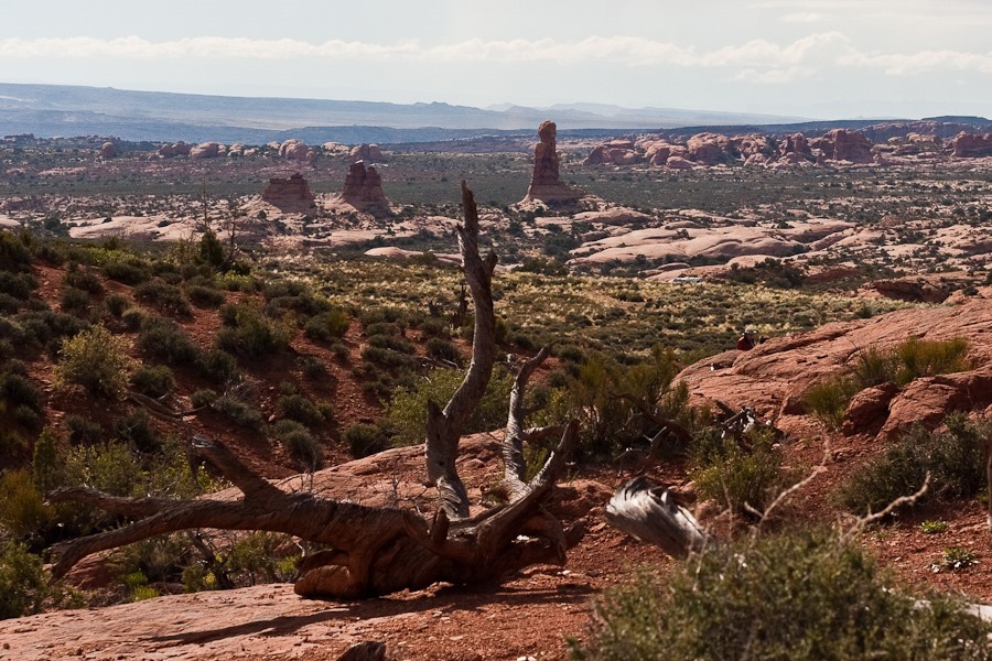
B photographed the view towards the Fiery Furnace:
South Window:
North Window:
Balanced Rock:
Looking South up Wall Street:
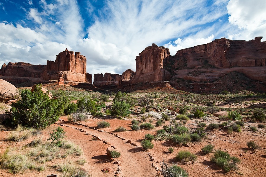
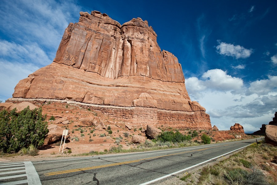
This structure is called The Cathedral, I think:
Arches is an amazing park, but both Trish and I agreed that after five weeks in Southern Utah, our appetite for red rock vistas has been sated, and we’re ready to move on.
It rained for most of the day today, so we decided to homeschool today and go to Arches National Park tomorrow. Towards evening, the clouds eased up and we were treated to a nice rainbow:
We decided to ride the paved trail which starts a little over a mile from where we are parked and follows the highway into Moab. The first order of business was to pump up and install our road wheels:
The trail descents into Moab. After we reached the end, we rode a spur trail 2.5 miles paralleling the Colorado River until that trail ended. On the way back, Trish and the kids continued towards home while I rode the climb into Arches National Park:
Unfortunately, B got a flat almost immediately, so Trish and the kids waited for me to come back down, as I had the patch kit:
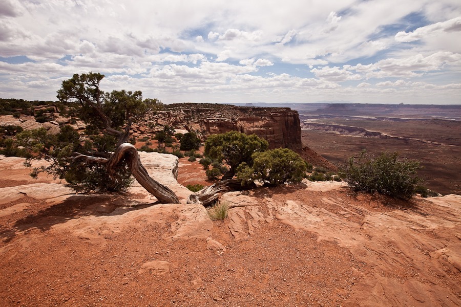
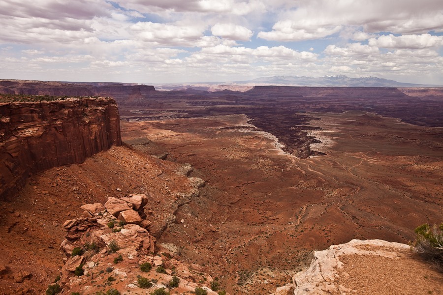
This morning we drove into the Island in the Sky district of Canyonlands National Park. Wedged above the confluence of the Green and Colorado rivers, this area is a mesa at 6000 feet overlooking river-carved canyons thousands of feet below:
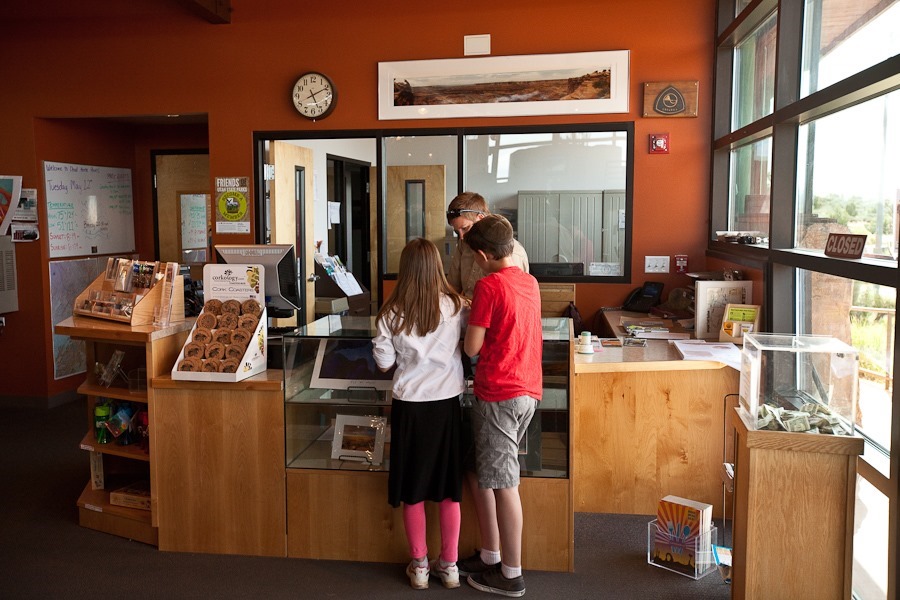
We briefly visited the visitor center:
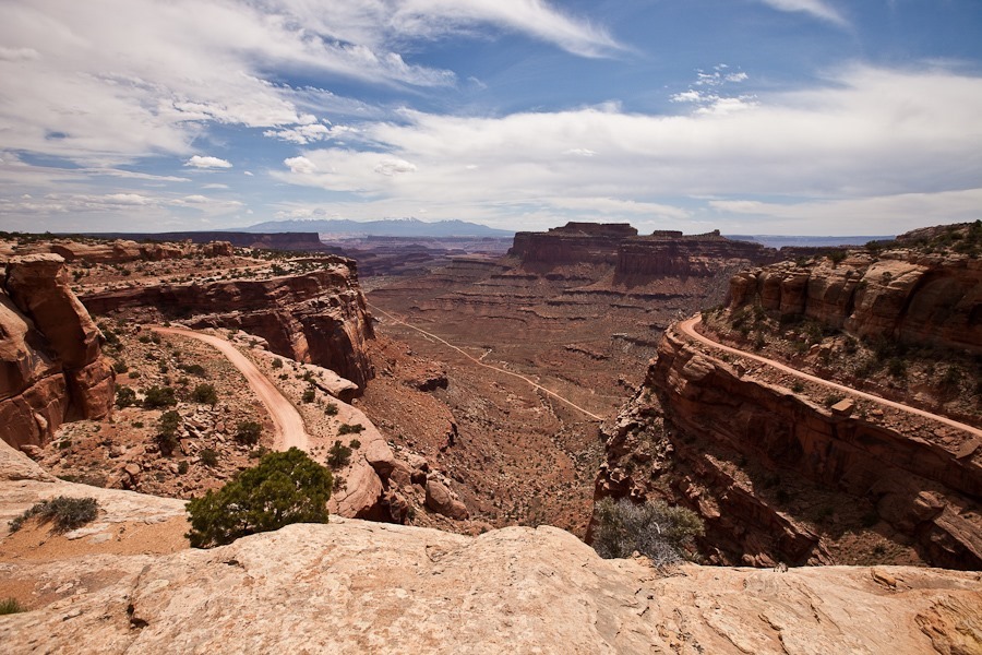
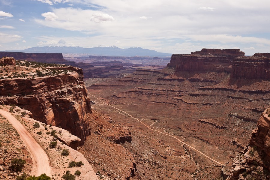
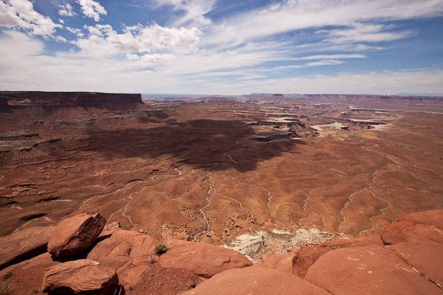
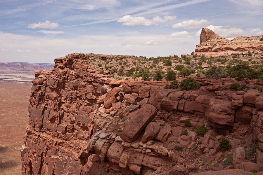
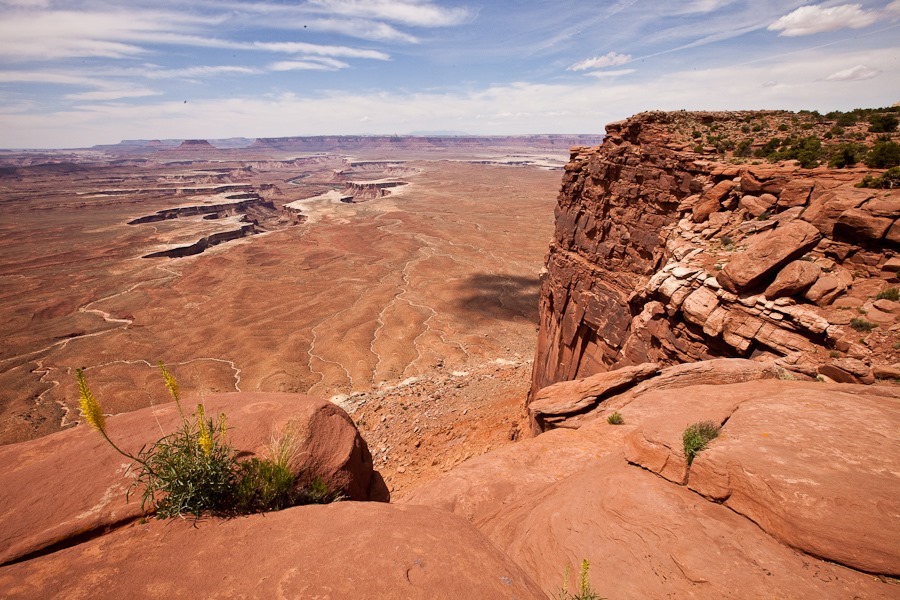
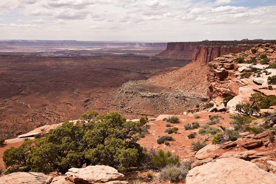
We drove to the Green River Overlook. The overlook is on Kayenta Sandstone, which acts as a capstone over the softer Wingate Sandstone, which forms the cliffs at the overlook. Below, the Chinle Formation acts as a cap over the Moenkopi Formation, which is the lower set of cliffs:
The harder Chinle Formation is the top layer here, with the softer Moenkopi Formation below:
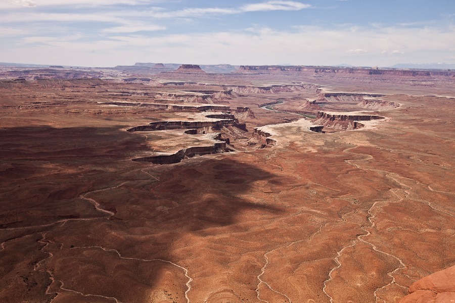
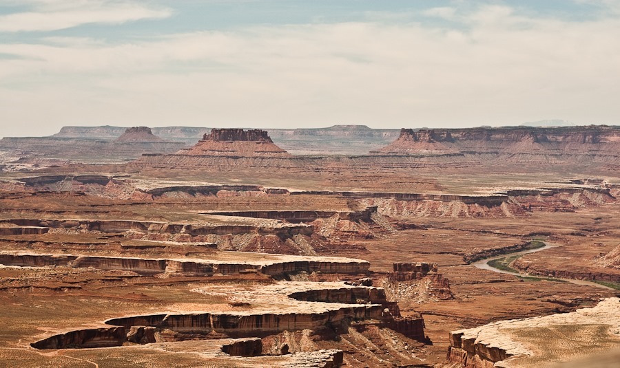
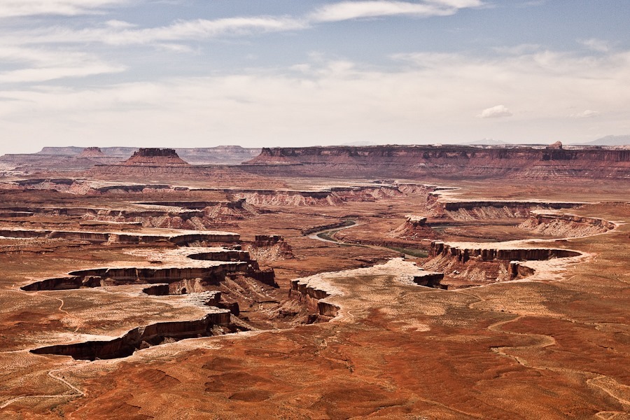
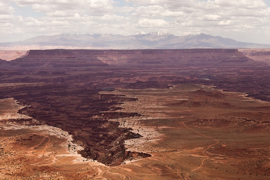
The Green River flows through the canyon dividing the Island in the Sky and Maze districts of the park:
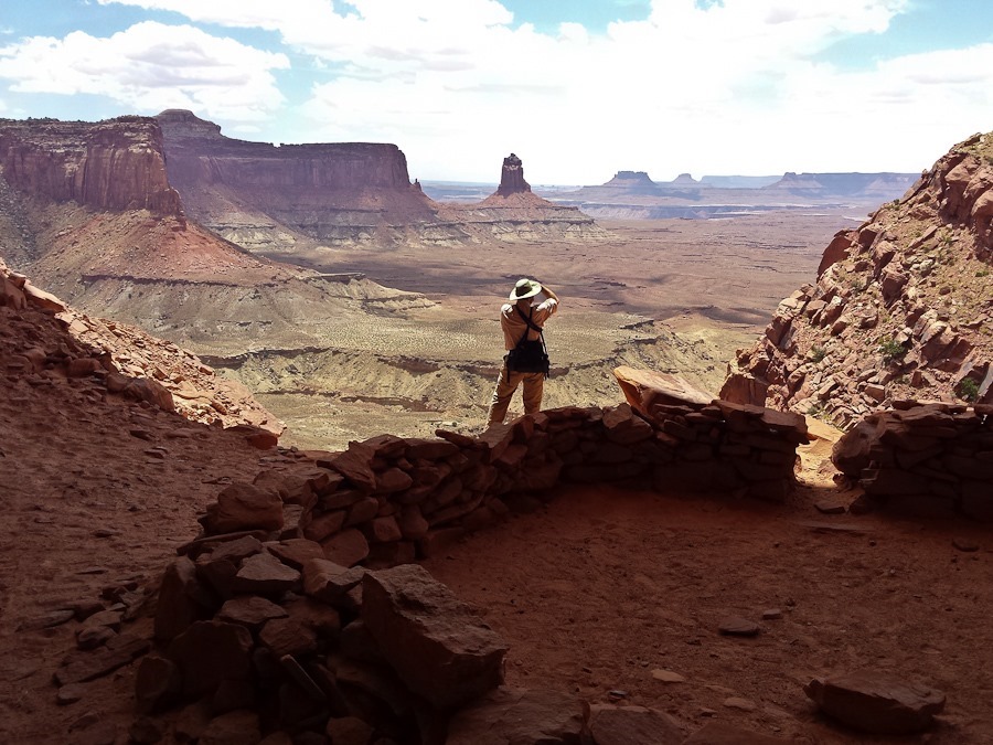
Next we hiked down to False Kiva. Due to the fragile nature of the site, False Kiva is a Class II NPS site, so the site or its trail do not appear on any maps. Rangers will give information on getting there if asked about it. We already knew the location of the trail and site, so we set out:
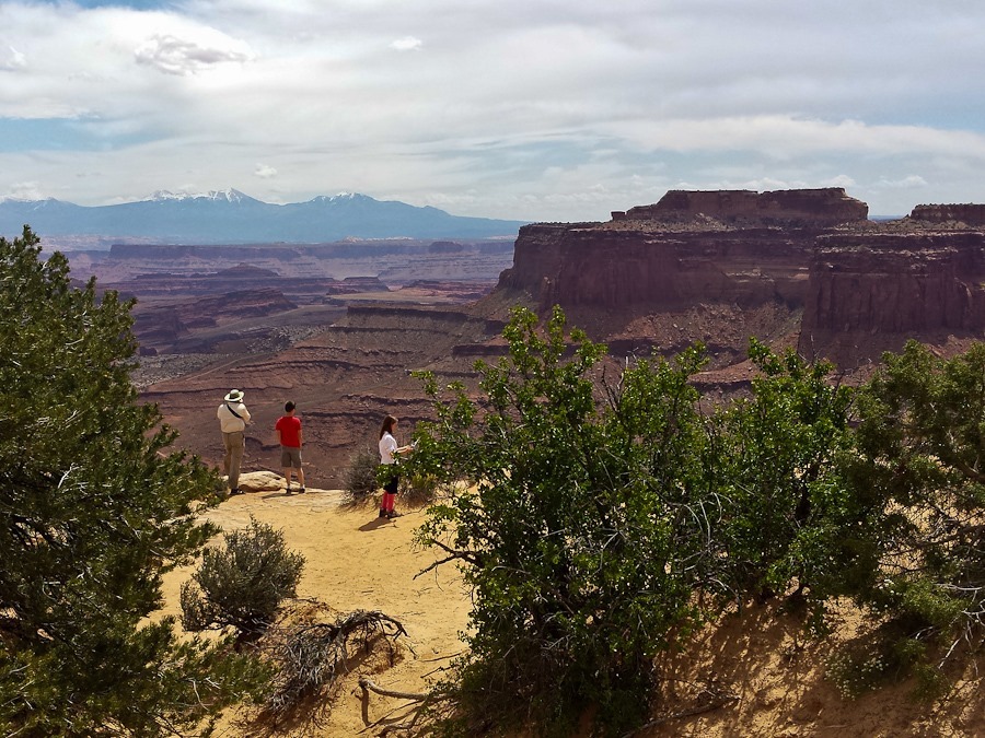
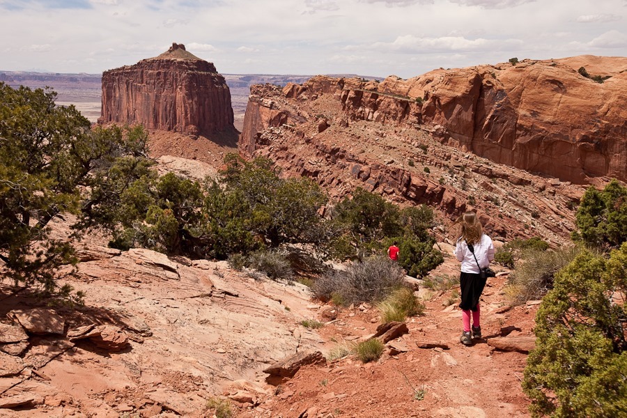
Amazing views of the Green River basin along the trail:
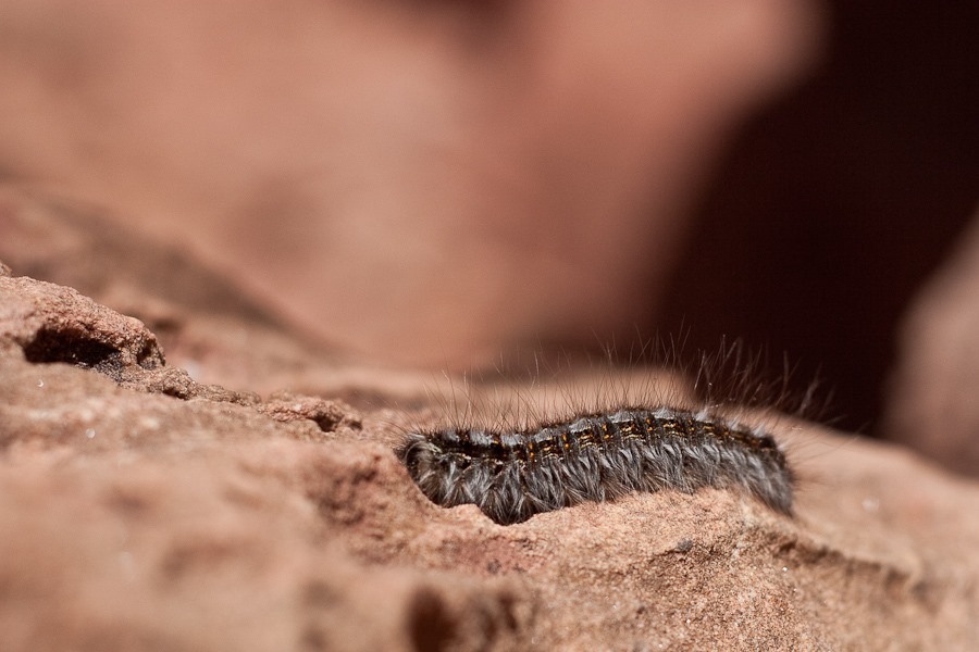
We met this fellow on the trail:
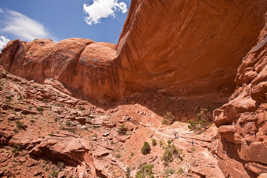
False Kiva is the small, rightmost shadowed area under the overhang:
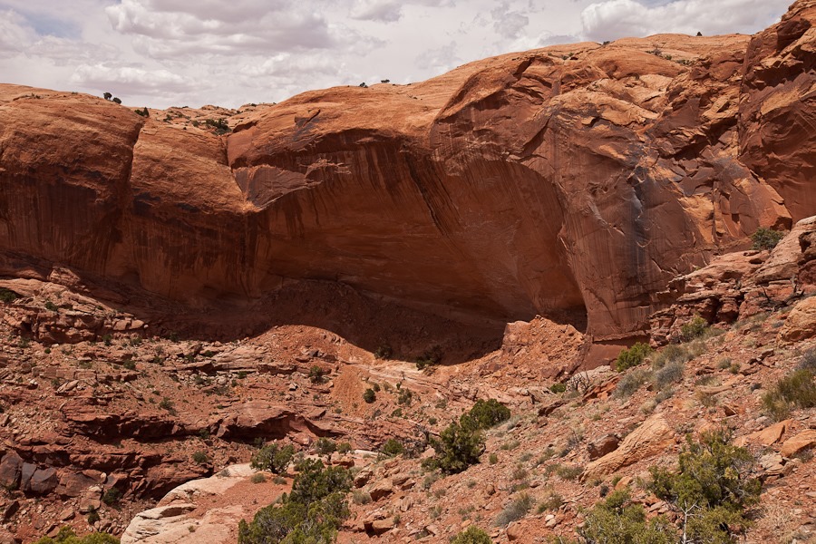
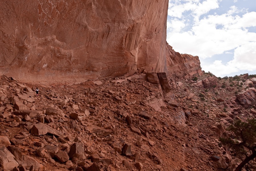
The overhang is huge, and we hoped for a seismically quiet day:
Trish can be seen hiking in the lower right:
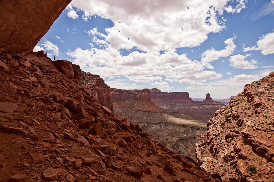
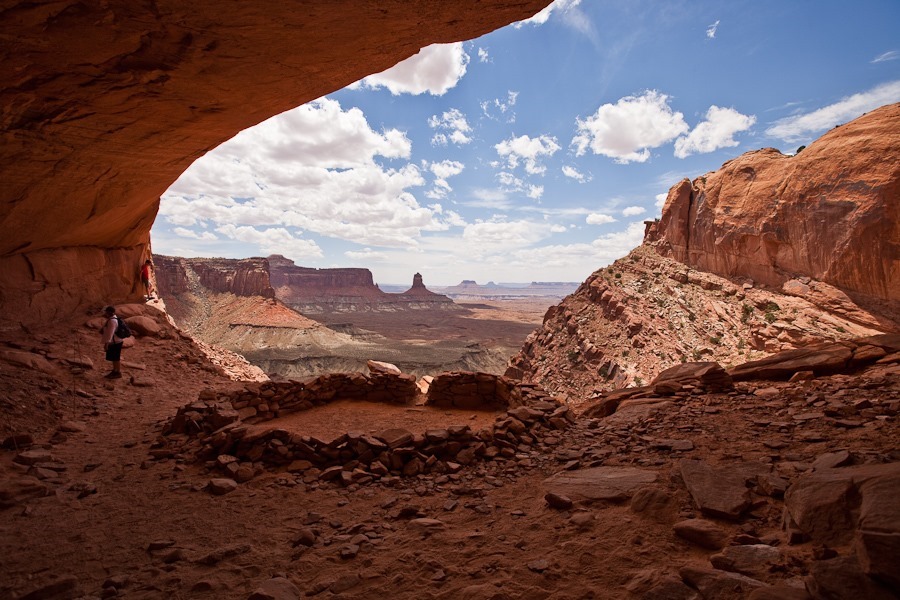
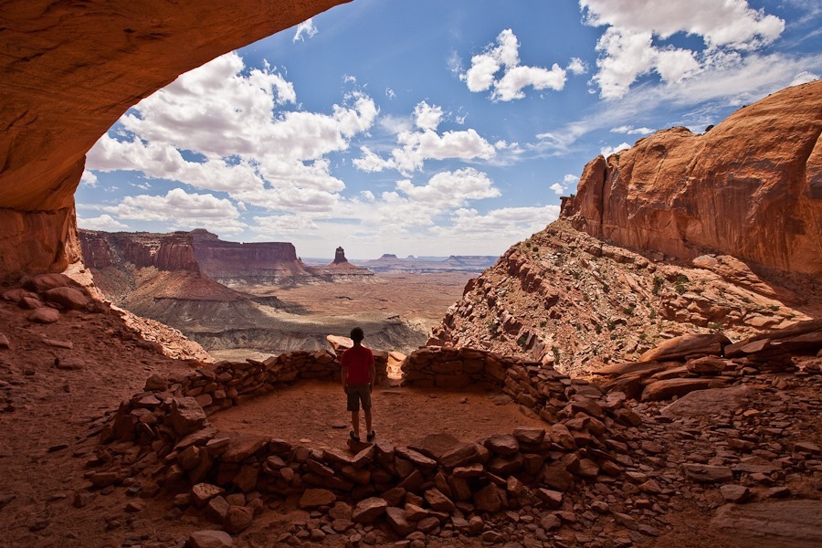
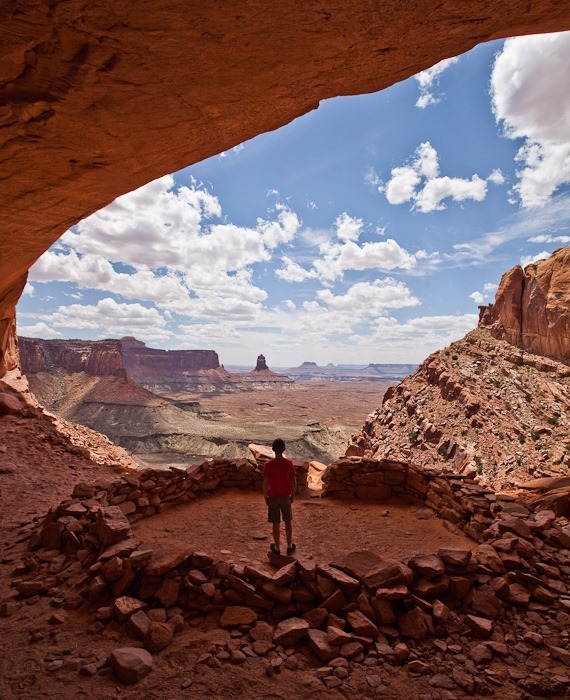
Hiking under the arch, B is in the foreground. M, in red, can be seen standing at the entrance to False Kiva:
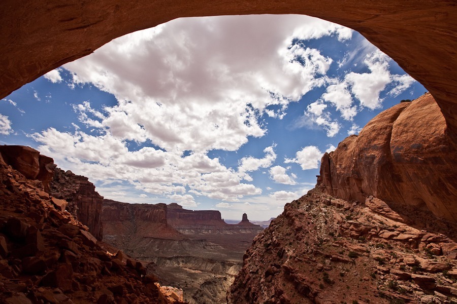
Under the arch:
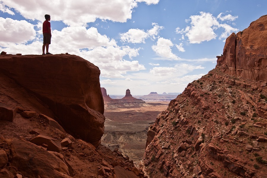
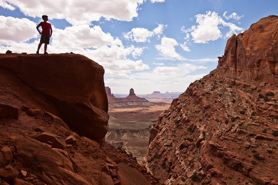
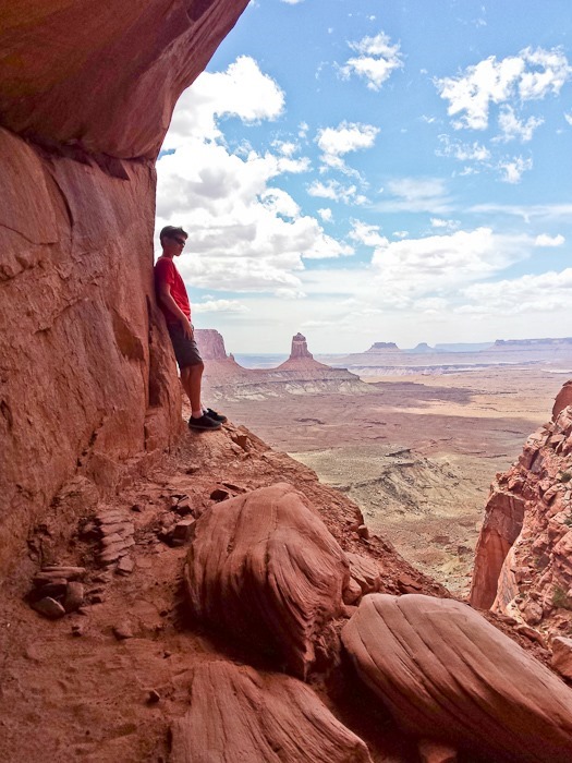
M’s dramatic pose:
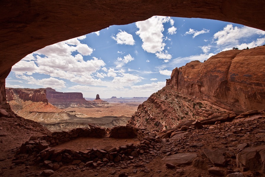
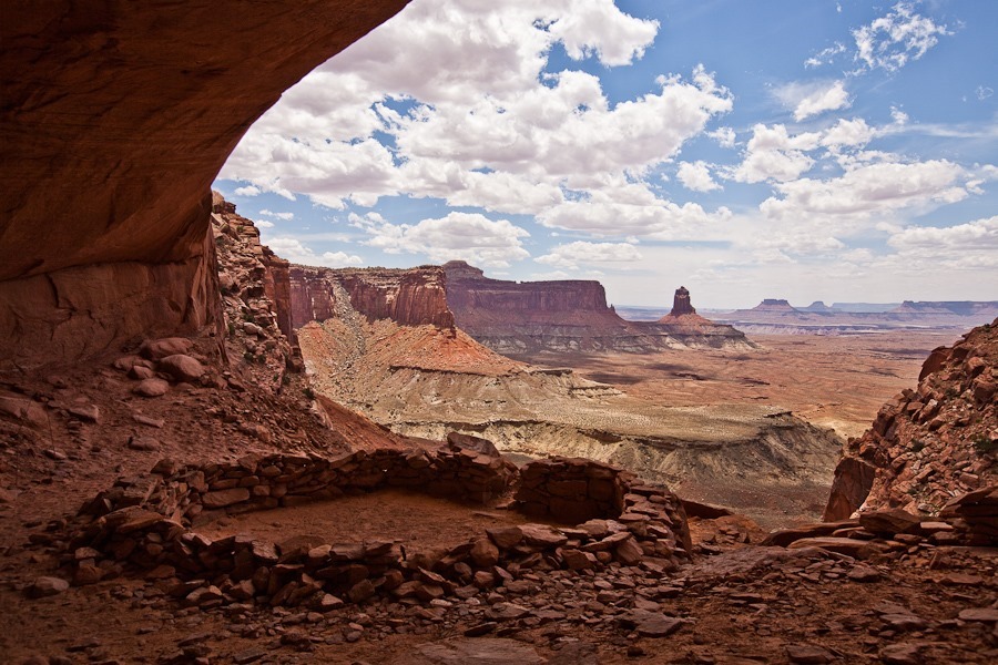
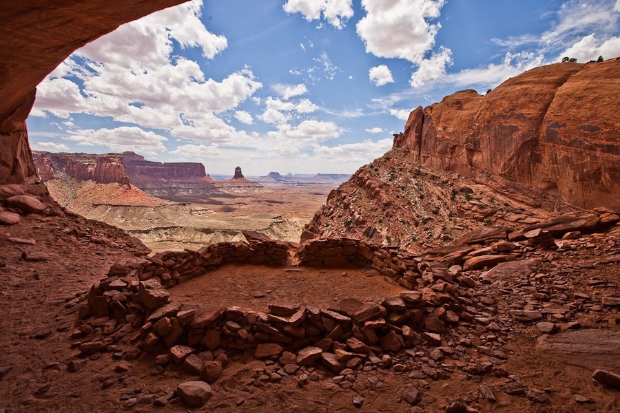
False Kiva:
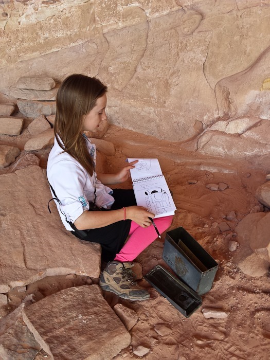
B looked through the NPS logbook for the site:
The site is thought to be a Native American dwelling, probably 700 to 1000 years old:
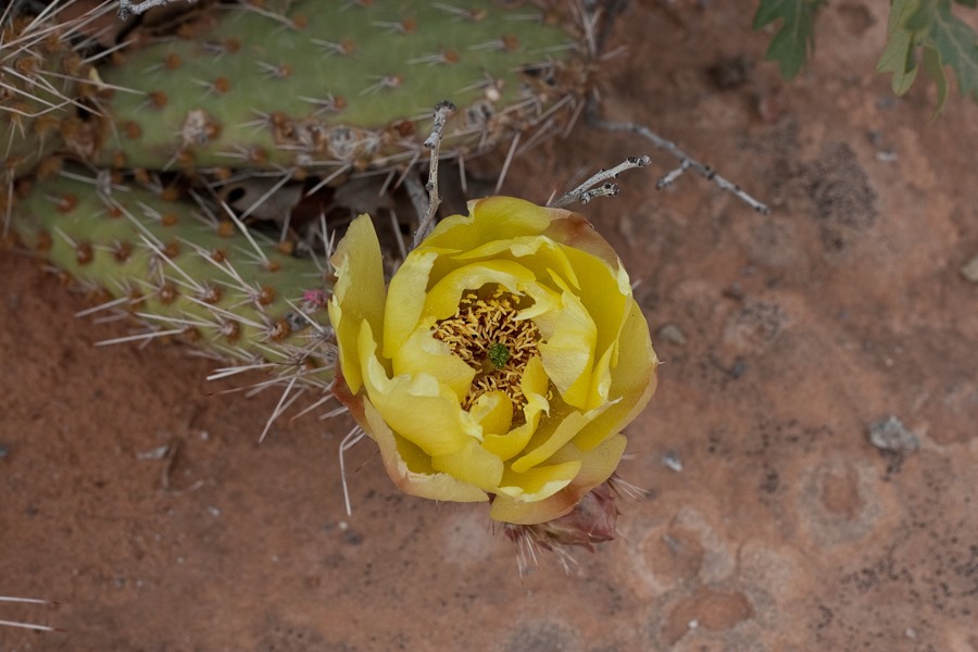
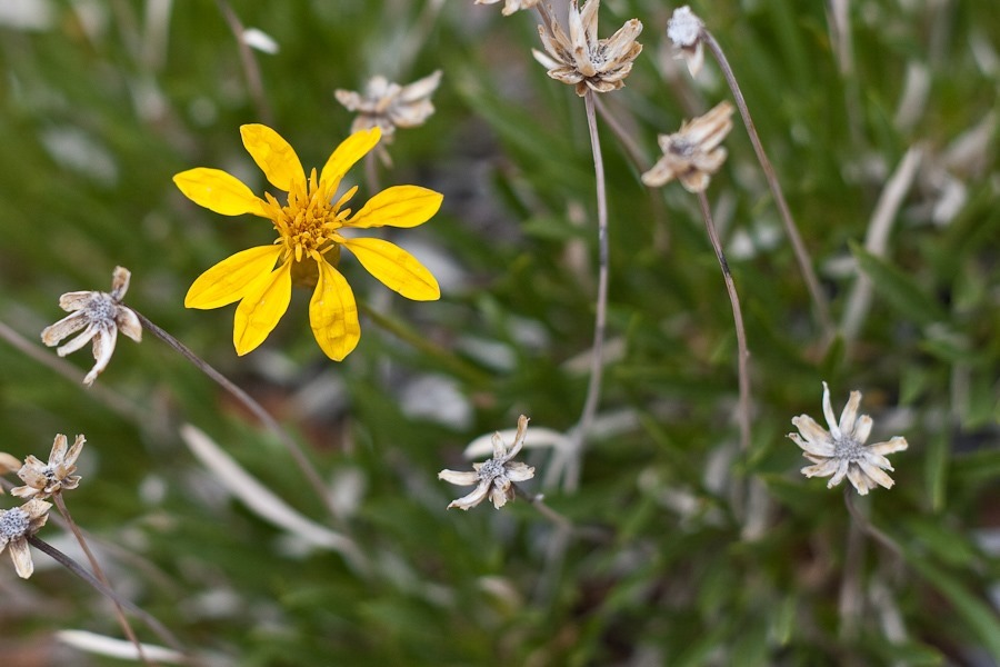
On the way back, B captured a nice flower photo:
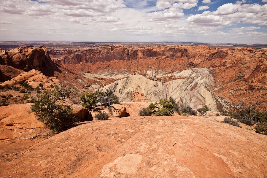
Next we visited Upheaval Dome, a meteor impact site within the park. The crater is a few miles across, and was created as much as 170 million years ago:
Orange Cliffs Overlook:
Grand View Point Overlook:
Buck Canyon Overlook:
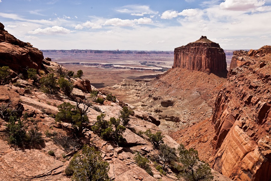
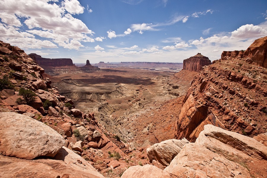
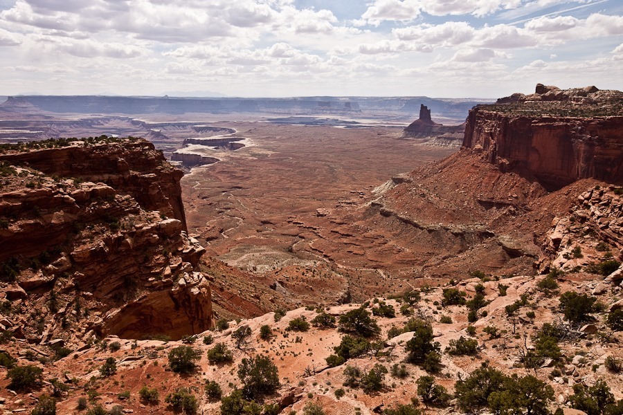
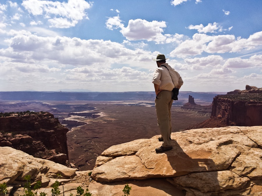
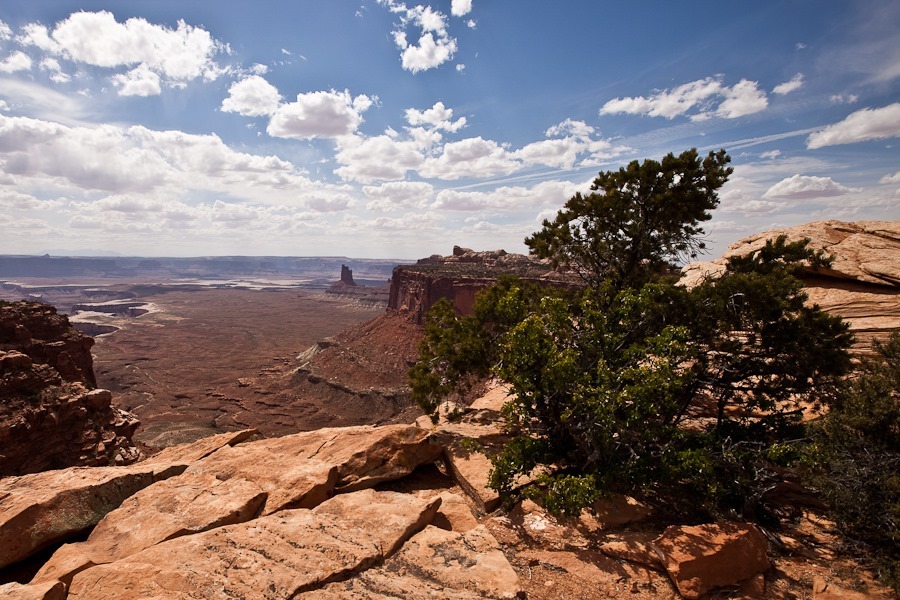
Candlestick Tower Overlook:
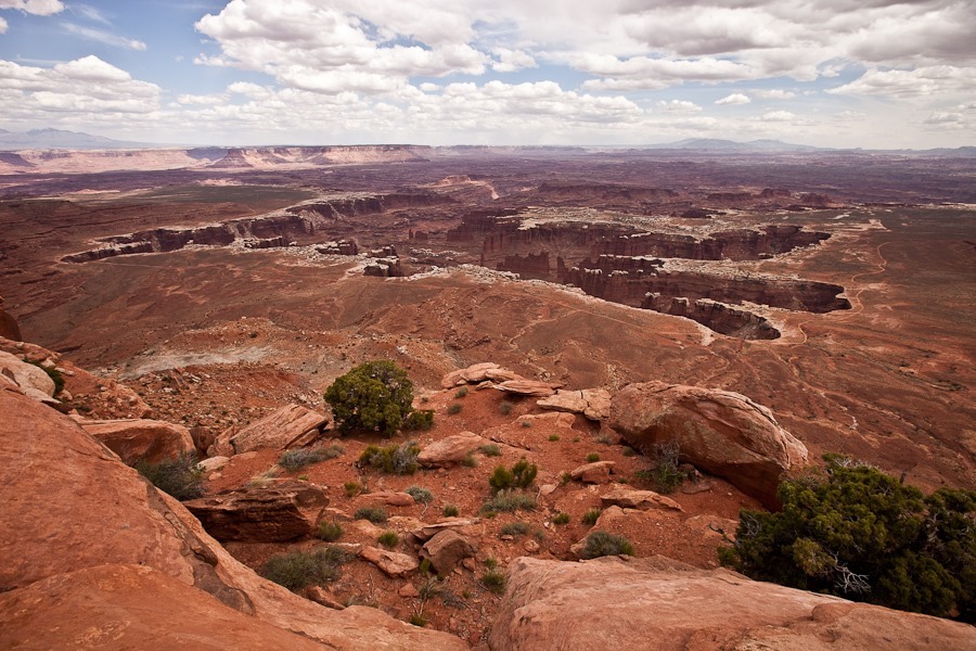
The vastness of this area is amazing:
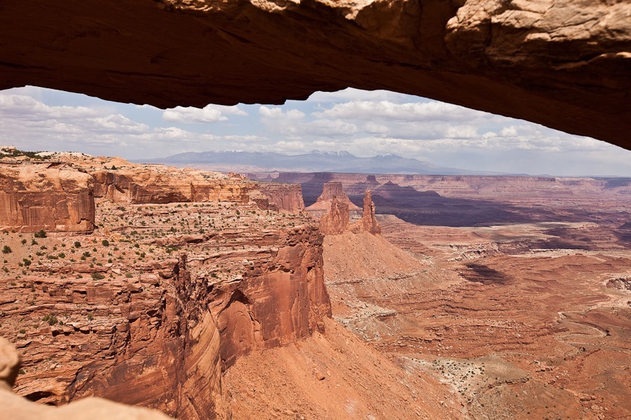
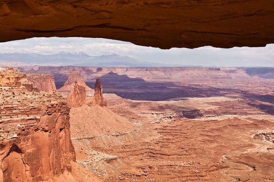
Next we hiked to Mesa Arch, made famous by its photo being one of the default backgrounds for Windows 7:
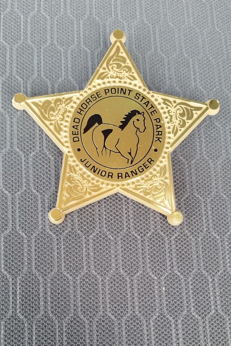
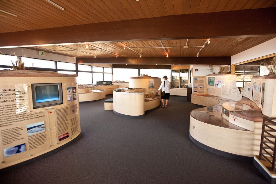
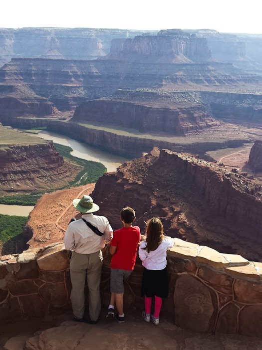
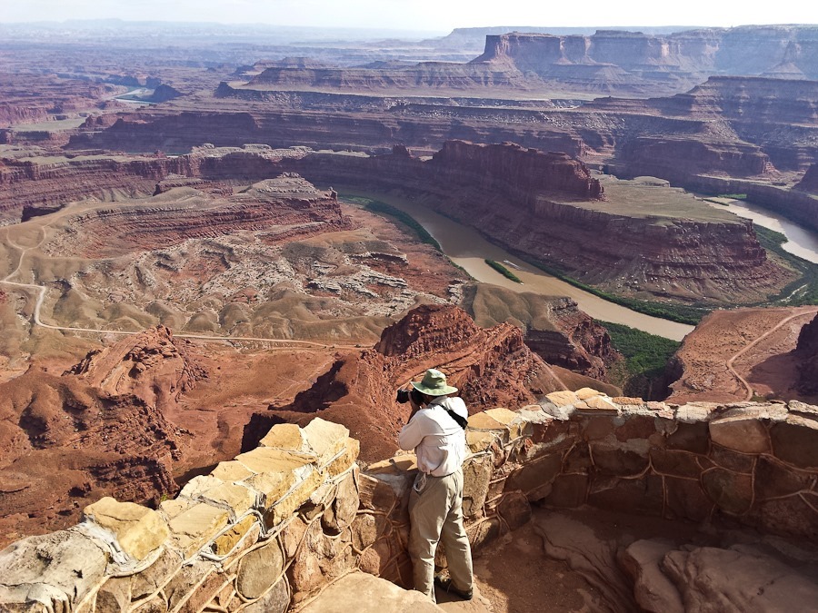
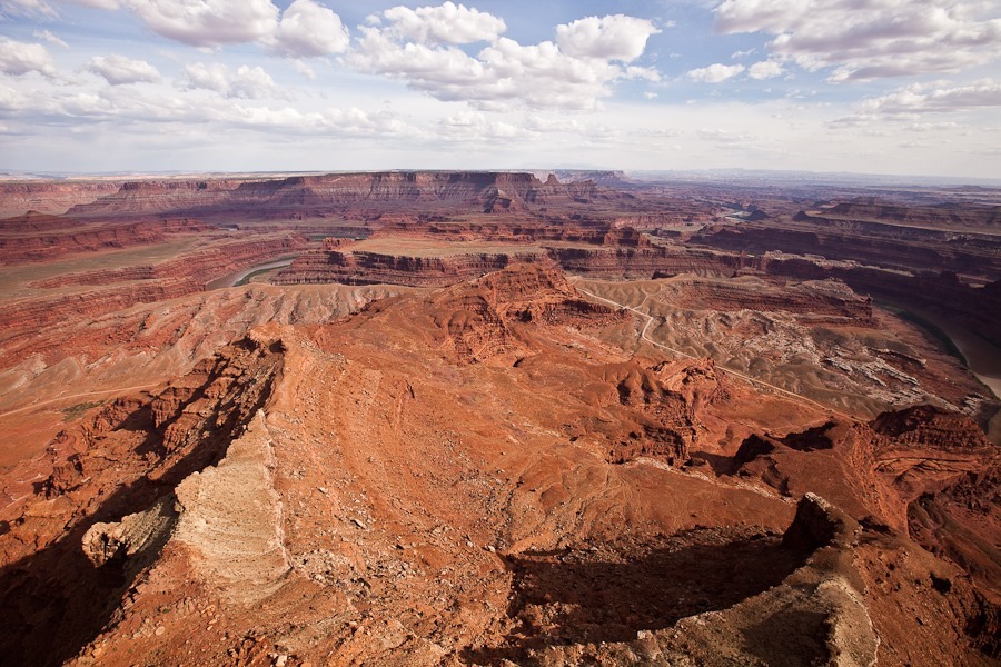
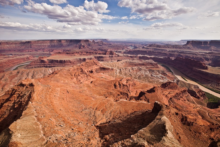
Leaving Canyonlands National Park, we drove to nearby Dead Horse Point State Park, named for the narrow point where wild horses were corralled for sorting. According to local lore, horses were once left contained at the point, and died of thirst within sight of the Colorado River thousands of feet below. The kids worked on their Junior Ranger workbooks:
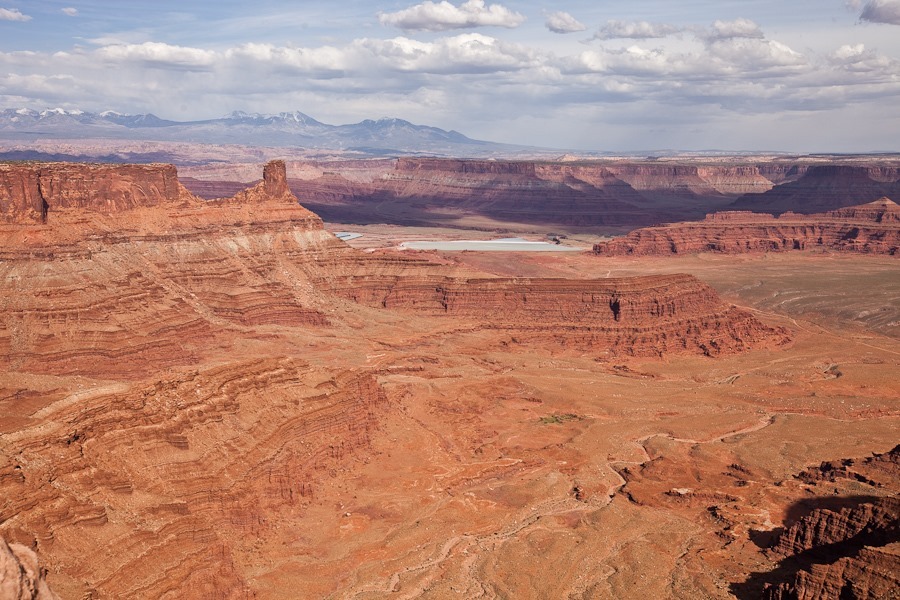
From the visitor center, we could see potash evaporation ponds near Moab:
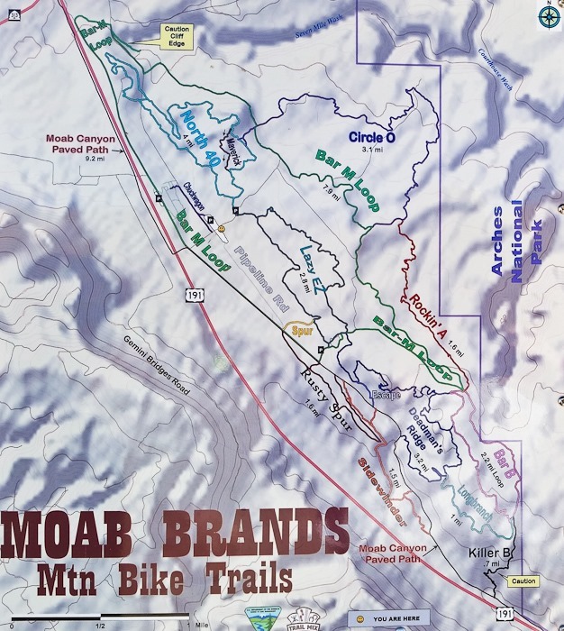
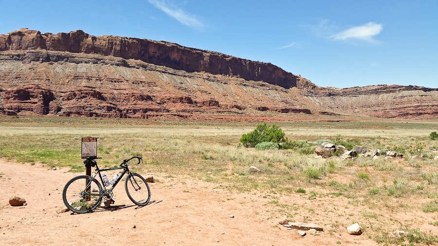
This morning we loaded the mountain bikes into the truck and drove two miles south to the “Moab Brands” mountain biking area:
The Moab Brands area (left of center) is one of many mountain biking areas in Moab:
We decided to ride the Lazy EZ loop and Rusty Spur, then ride the longer Bar M loop:
Lazy EZ is rated beginner-intermediate, and we did have to pay attention to avoid big rocks and climb up and over obstacles. The connector trail to Rusty Spur was nice and flat:
B took a fall:
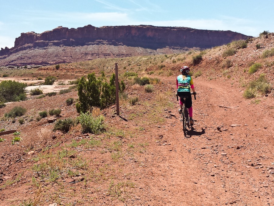
The Bar-M trail is a shared bike and ATV trail, so it’s wide and less difficult than Lazy EZ:
Everyone had a great time! In the afternoon, the kids rode from the RV to the Klonzo biking area and rode a few miles of trails there.



















 Facebook
 Instagram
 Email
Email