Day 455: Westward Hoh! (Vampire Threat Level: Medium)

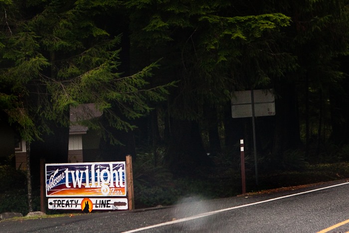
This morning we left the Walmart of Port Angeles and drove west to the town of Forks, Washington.  Forks is an unremarkable town, but it happens to be the setting for the Twilight series of vampire novels, along with the village of La Push on the Quileute reservation.  From Forks, we turned off US 101 and headed West towards La Push.  Along the way, we spotted local features targeted towards fans of Twilight, who no doubt provided a healthy economic boost to the region, especially during “Stephenie Meyer Day” every September:

Day455_13

Day455_14

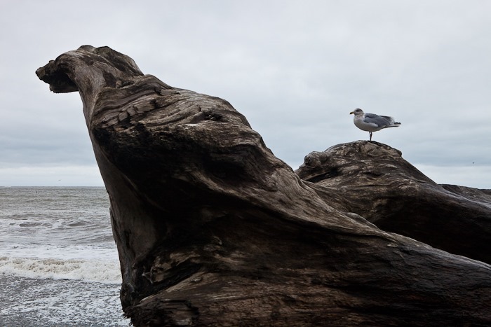
At last we reached Rialto Beach, which is within the coastal unit of Olympic National Park and is across the Quillayute River from La Push.  It was a typical cloudy day on the Washington coast:
Day455_01

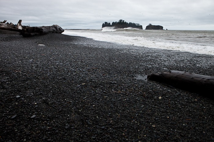
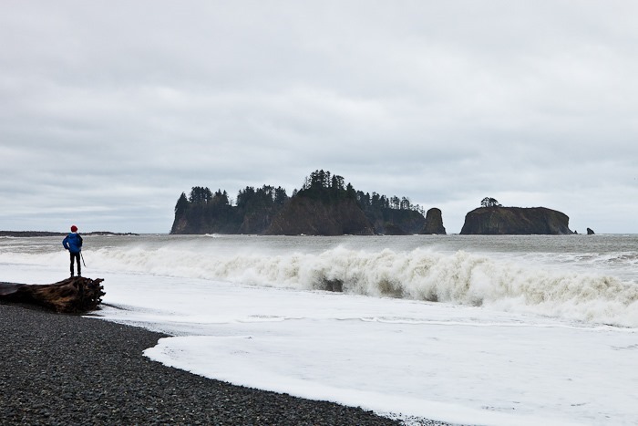
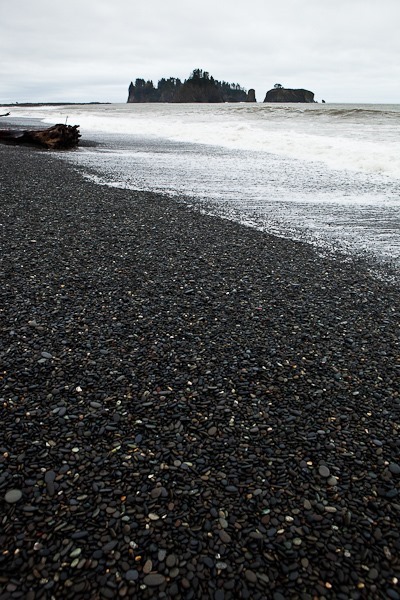
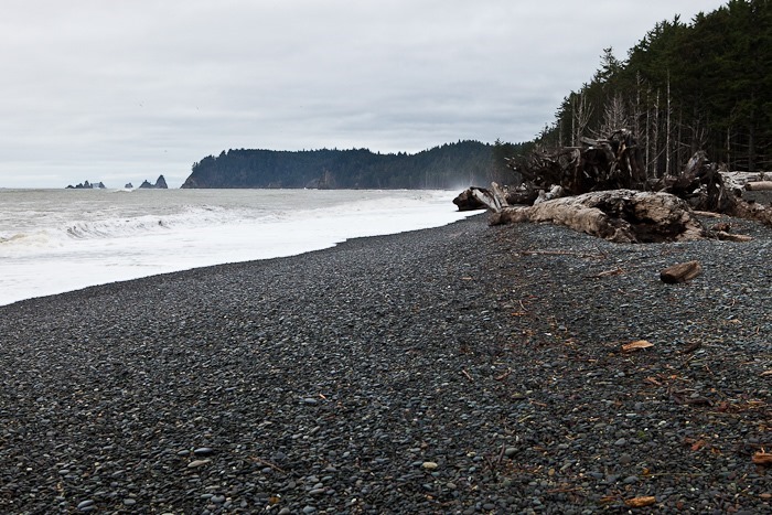
Rialto Beach is a sandless beach made up entirely of pebbles.  James Island is just offshore:

Day455_02

Day455_03

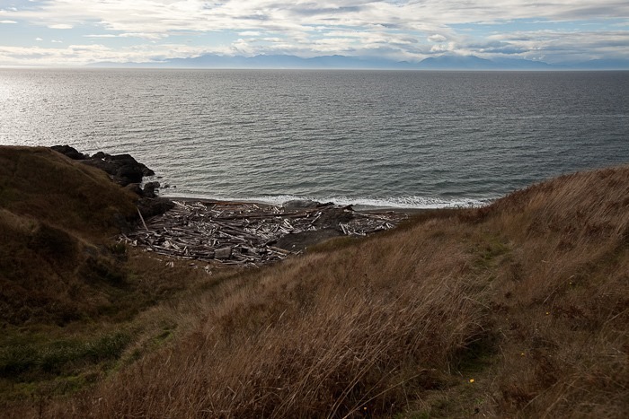
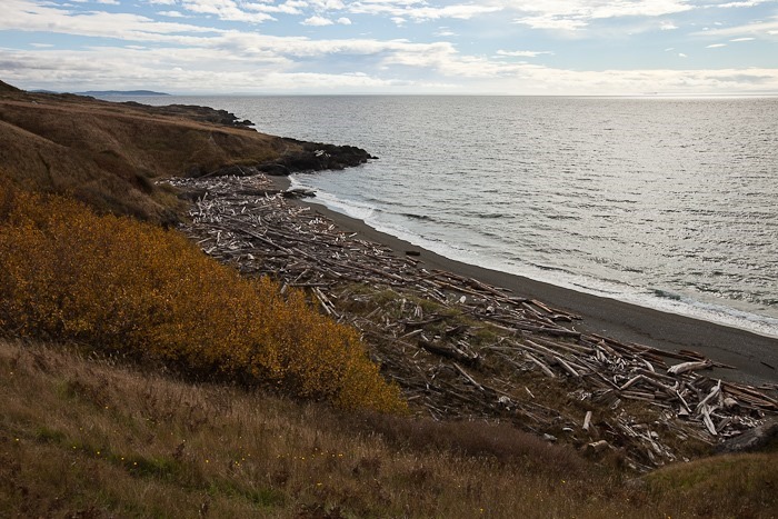
Driftwood details:

Day455_04

Day455_05

Day455_06

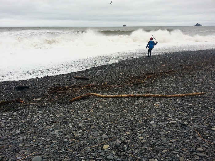
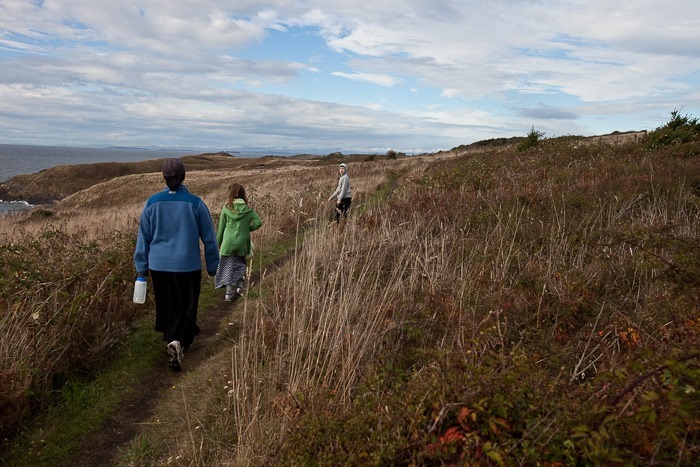
The fearless explorer:

Day455_07

Day455_08

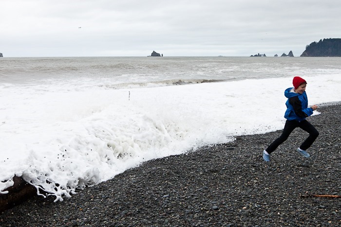
Sometimes retreat is in order:

Day455_09

Day455_10

Day455_11

Looking North towards what might be Cape Johnson:
Day455_12

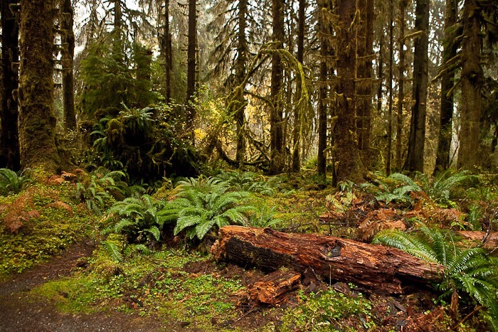
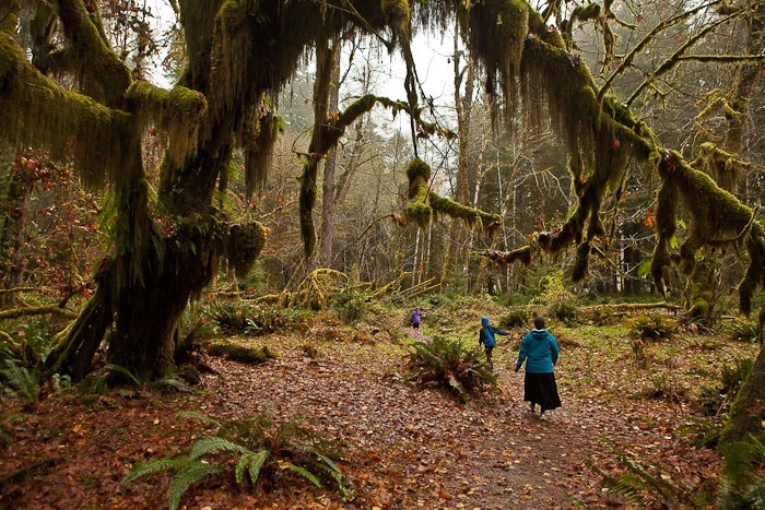
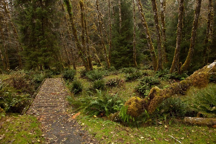
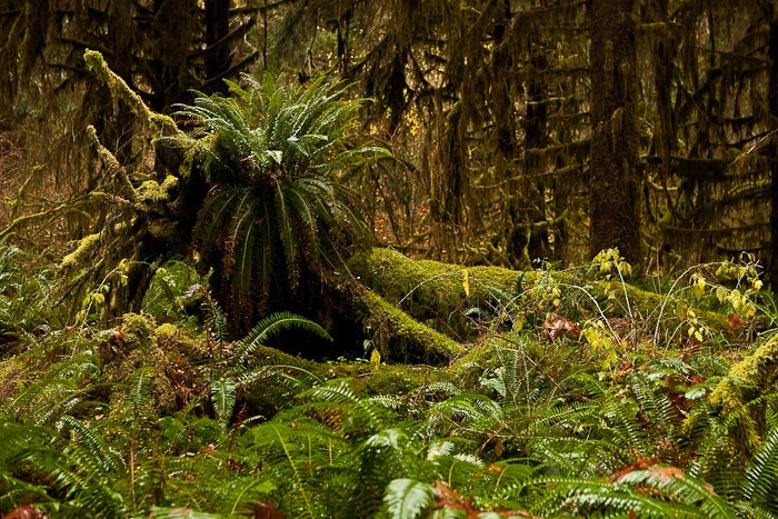
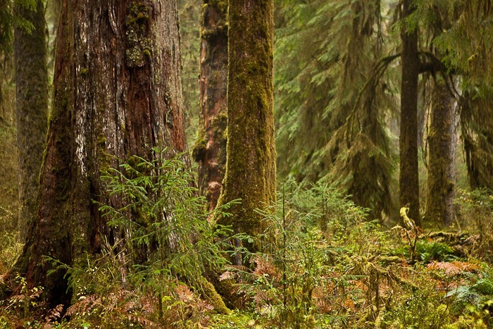
From Rialto Beach, we drove back to Forks, then continued south until the turnoff that took us east into Olympic National Park’s Hoh Rainforest.  Hoh receives 140 to 170 inches of rain per year, making this area the wettest part of the continental US.  With all this water, plant live thrives so there’s intense competition for real estate.  As soon as a tree falls over, plants start to grow on it, since seeds that fall on the tree trunk aren’t in the shadow of already established plants on the ground:

Day455_15

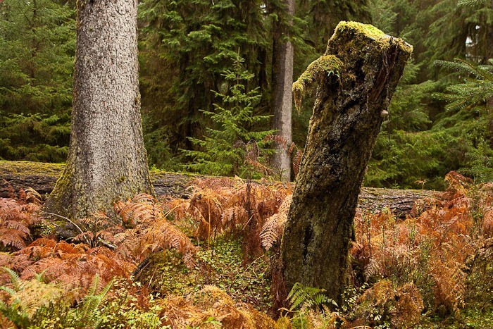
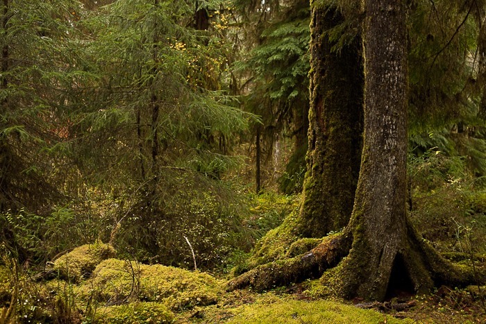
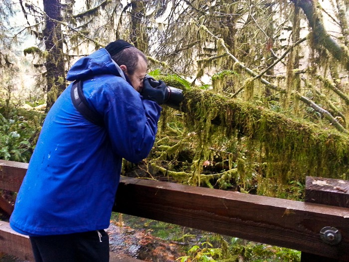
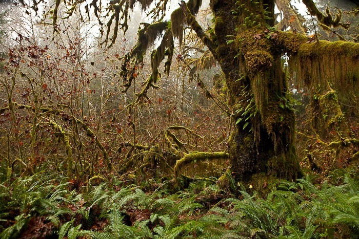
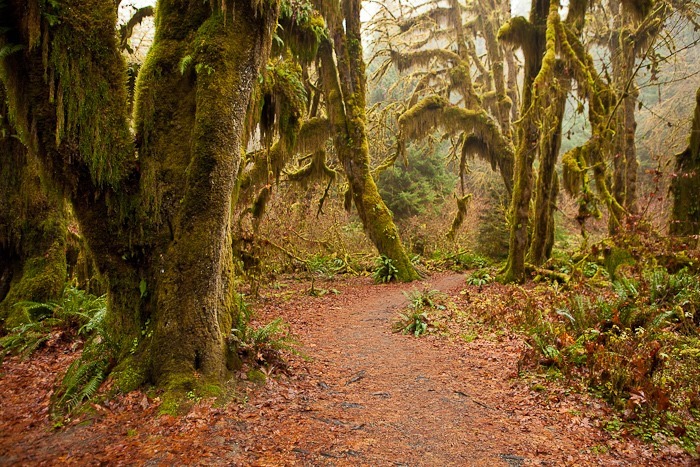
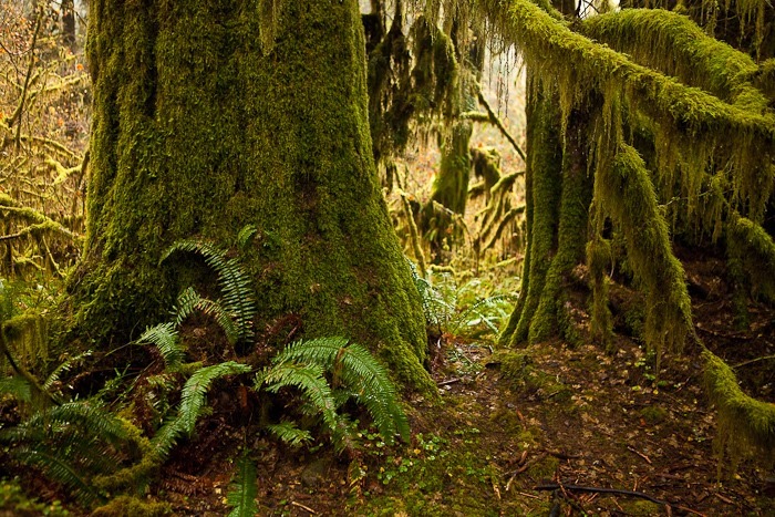
Moss festoons everything that doesn’t move:

Day455_16

Day455_17

Day455_18

Baby ferns grow on a newly fallen tree:
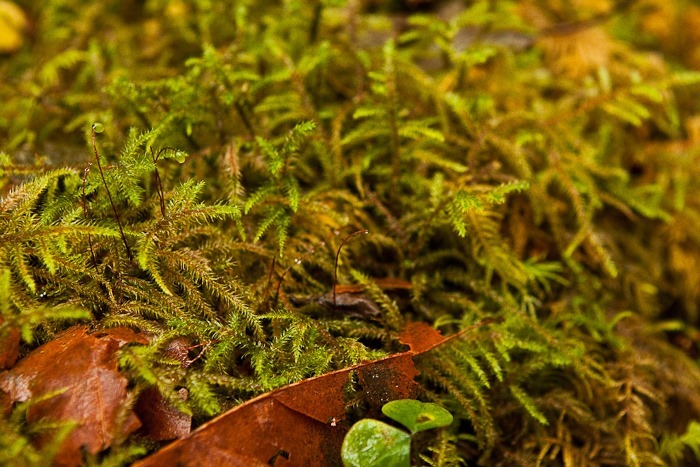
Day455_19

Another view of the fallen tree.  Note the saplings growing out of it:

Day455_20

Day455_21

Trying to move a tree:

Day455_22

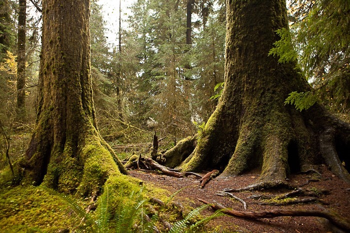
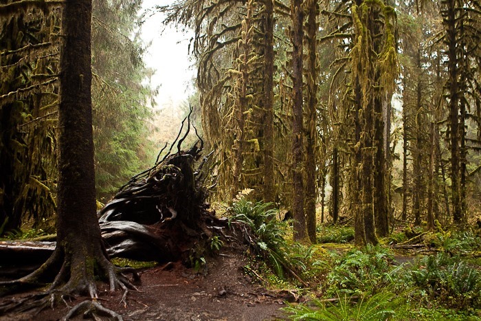
Many trees here have vaulted roots, as they started life on a fallen tree which has since rotted away:
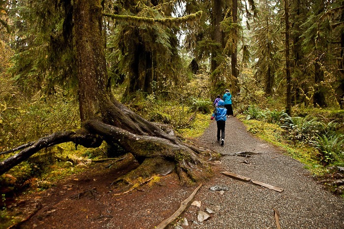
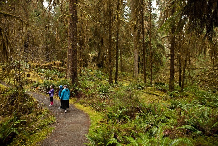
Day455_23

Day455_24

Living biomass covers every square inch of surface here:
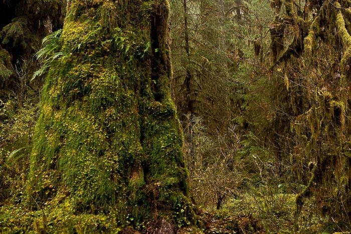
Day455_25

Day455_26

Day455_27

Day455_28

Day455_29

A foggy day on the Hoh River:

Day455_30

Day455_31

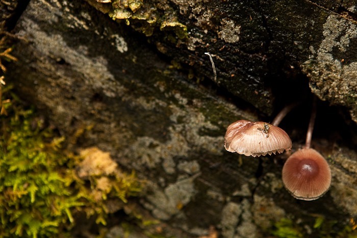
Peeking mushrooms:

Day455_32

Day455_33

Day455_34

Day455_35

Day455_36

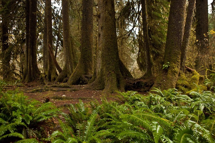
This row of trees is growing out of a single fallen tree trunk:
Day455_37

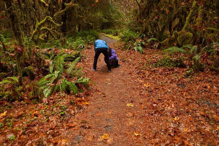
The kids examine a slug:

Day455_38

Day455_39

Day455_40

Day455_41

Day455_42

Up close with moss:

Day455_44

Day455_43

Day455_45

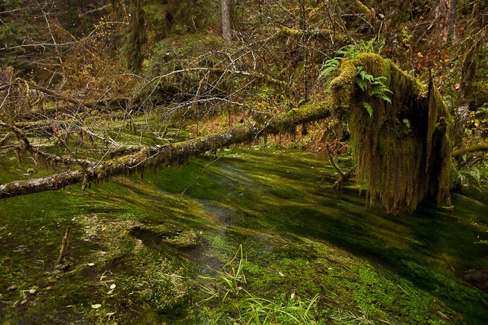
Even streams are choked with plant life:
Day455_47

Day455_48

Day455_49

Day455_50

Day455_51

Day455_52

Day455_53

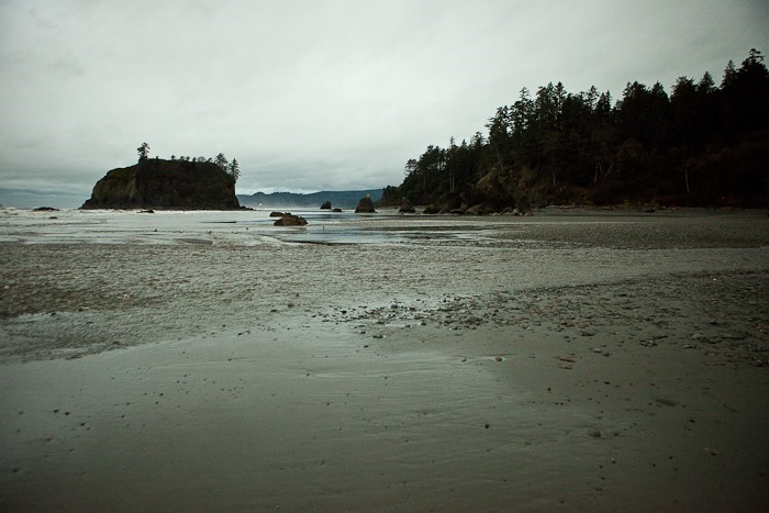
We left Hoh Rainforest and continued South to Ruby Beach, which is also within Olympic National Park:
Day455_54

It was low tide, so we were able to walk around on the rocks which are underwater most of the time:

Day455_55

Day455_56

Marine life thrives on these rocks:

Day455_57

Day455_58

Day455_59

Day455_60

We even found small fish swimming in some of the tidal pools:

Day455_61

On the trail down to the beach, we found a credit card, and we managed to find its owner down at the beach.  She was very happy!

Leaving Ruby Beach at sunset, we drove south to overnight at the Quinault Beach Resort and Casino which is beachside near Ocean City, Washington.  We will be staying here as guests of the Quinault Nation for a few days, enjoying the beach here.  See the trip map for today’s drive and our current location.

Update: The kids completed a podcast for today, play it below:

Day 440: Ferries and Islands – the San Juans

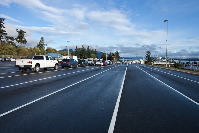
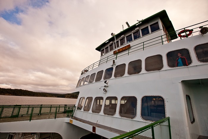
This morning, we left Burlington before sunrise and drove to Anacortes, dropped off the RV in a parking lot, and got in line to board the 9:30am ferry to San Juan Island:

Day439_01

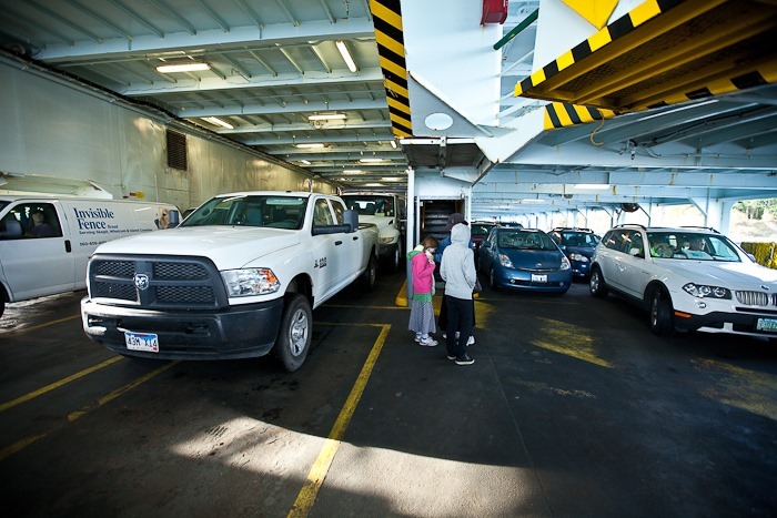
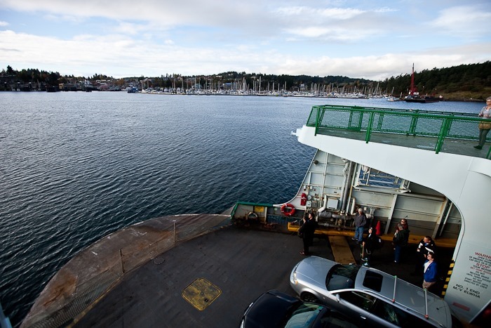
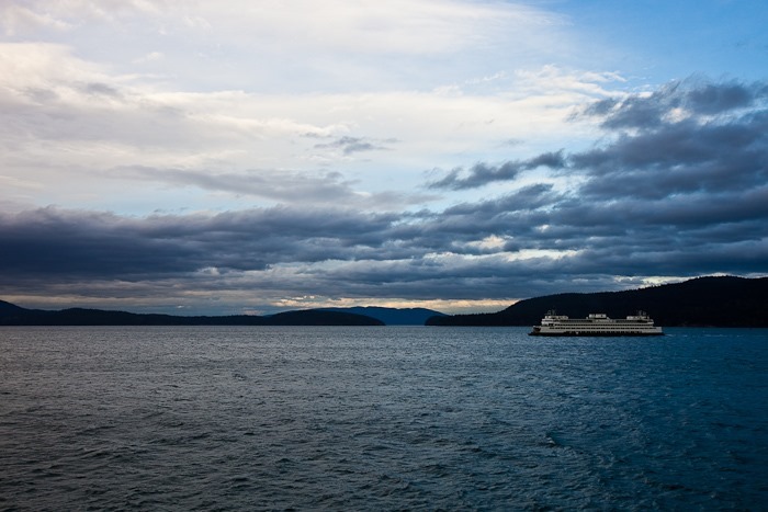
The ferry can hold about 150 vehicles:

Day439_02

Day439_03

Apparently this is not the busy season:

Day439_04

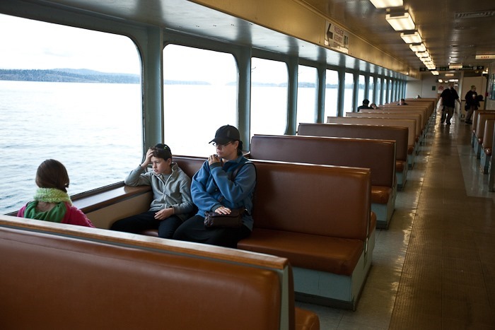
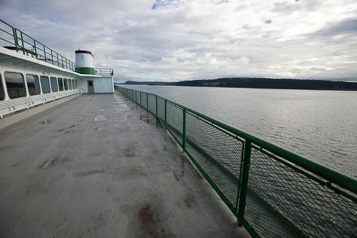
Watching the world go by:

Day439_05

Day439_06

While onboard, the fire crew went through their monthly drill:

Day439_07

Another ferry going the other way:

Day439_08

Day439_09

Day439_10

Day439_11

People leave jigsaw puzzles on the ferry for passengers to work on as they travel:

Day439_12

After about an hour, we arrived in Friday Harbor on San Juan Island:

Day439_13

Day439_14

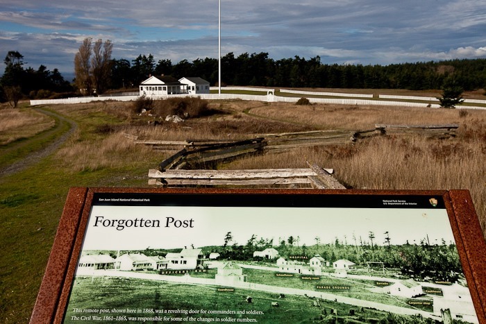
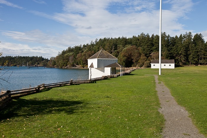
After driving off the ferry, we drove to the South side of the island to visit the American Camp unit of the San Juan Island National Historical Park, site of the Pig War that culminated in decisive US ownership of the San Juan Islands.  The Americans built a military outpost here to protect US citizens from expulsion from the island by British Forces while ownership of the island was in question.  Unfortunately, the visitor center is only opened from Wednesday to Saturday, so we weren’t able to get Junior Ranger badges here:

Day439_15

The laundry building:

Day439_16

The two buildings above are on the left side of the period photograph below:

Day439_17

An artillery redoubt built to overlook the shore:

Day439_18

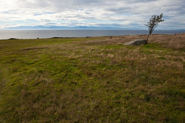
We hiked the southern shore of the island:

Day439_19

Day439_20

Day439_21

Day439_22

Day439_23

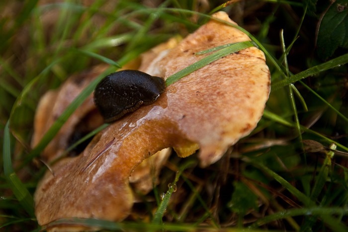
Slug on a mushroom:

Day439_24

We drove South to view the Castle Point Lighthouse:

Day439_25

Day439_26

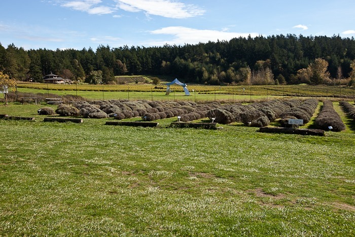
Next we drove North to visit a Lavender farm:

Day439_27

Continuing North, we visited the British Camp on the island:

Day439_28

Day439_29

Day439_30

Day439_31

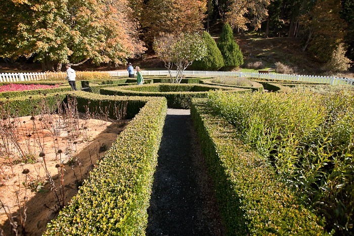
The British had a formal garden here:

Day439_32

Day439_33

Next we visited a sculpture garden that includes a horizontal tree trunk with an engraver next to it.  Visitors are encouraged to carve on the log.  Trish carved this fish:

Day439_34

B left her mark as well:

Day439_35

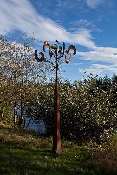
Lots of interesting, ridiculously overpriced art here:

Day439_36

Day439_37

This mirror-on-an-easel piece was pretty neat:

Day439_38

Day439_39

Day439_40

Day439_41

Day439_42

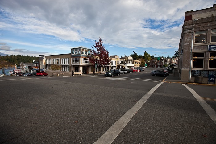
We briefly walked around Friday Harbor’s quaint downtown:

Day439_43

Back on the ferry:

Day439_44

So long, San Juan Island:

Day439_45

Coming to the island, the trip was direct from Anacortes to San Juan Island.  On this return trip, we had an intermediate stop at Lopez Island:

Day439_46

Day439_47

Leaving Lopez Island:

Day439_48

Day439_49

Since we happened to be on the same ferry on the way back, the kids tried to find the jigsaw puzzle they worked on this morning.  Unfortunately, someone must have finished it and put it away while we were on the island, so we had to start over.  It was very nearly finished by the time we returned to Anacortes:

Day439_50

It was a long day, but traveling by ferry and touring the island was great fun!

After departing from the ferry, we hitched up the RV and returned to Big 5 Sporting Goods in Burlington to overnight.  See the trip map for route details.

Update:The kids have recorded a podcast for today’s trip.  Play it below:

Day 410: Craters of the Moon National Monument

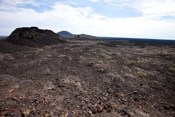
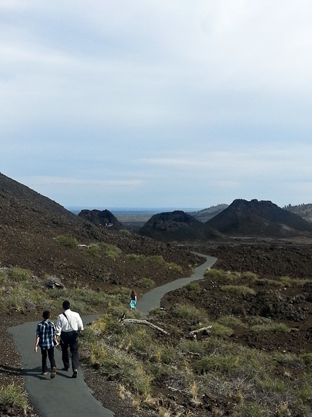
Today we reluctantly left our amazing Shabbos camping location at Magic Reservoir and drove North and East to Craters of the Moon National Monument.  The monument preserves a number of lava flows, the youngest of which are about 2,000 years old.  We first visited the spatter cones:

Day410_01

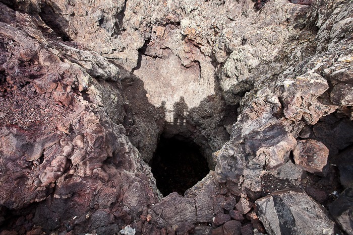
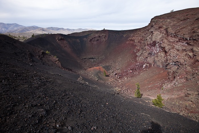
Looking down into the spatter cone:

Day410_02

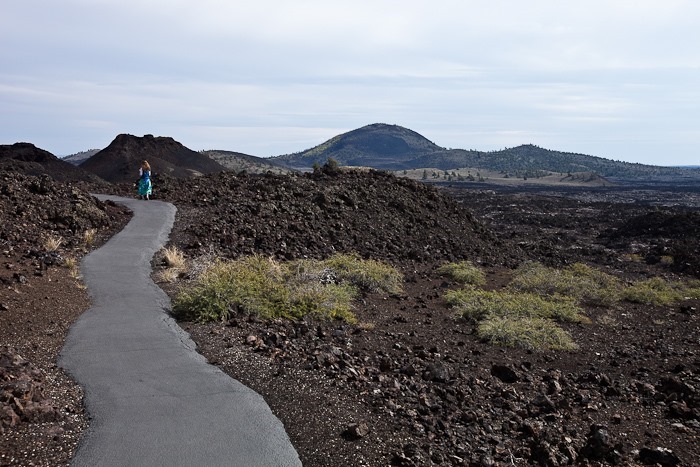
The terrain is other-worldly, and was used for lunar surface training for the Apollo astronauts:

Day410_03

Day410_04

We hiked up to view a couple larger cinder cones:

Day410_05

Pumice is highly aerated, so it’s much lighter than you might expect.  Some pumice even floats!

Day410_06

Day410_07

Day410_09

Day410_17

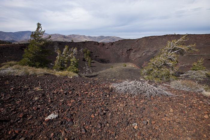
Looking into another spatter cone:

Day410_10

Next we drove out to the trailhead for a lava cave:

Day410_11

Day410_12

Day410_13

Day410_14

We explored a short section.  The kids are off to the left exploring a tight little side passage:

Day410_15

Day410_16

In the visitor center parking lot, Trish befriended our neighbor:

Day410_08

The kids completed their Junior Ranger books and received their patches:

Day410_18

Day410_19

While Trish made a late lunch, I took the kids to another trailhead for a short hike:

Day410_20

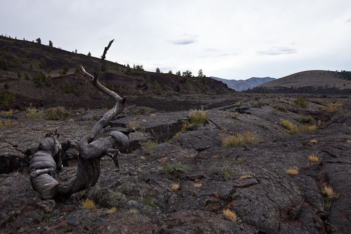
It’s easy to imagine the lava flowing across the land:

Day410_21

Eventually, wind-borne soils settle into crevasses and plants begin to grow:

Day410_22

Day410_23

This 3” long praying mantis blended right in:

Day410_24

After leaving the monument, we drove South and West to overnight at a truck stop in Bliss, Idaho.  See the trip map for driving details.

Update: The kids produced a podcast for today’s adventure:

Day 407: Flat Out at the Bonneville Flats

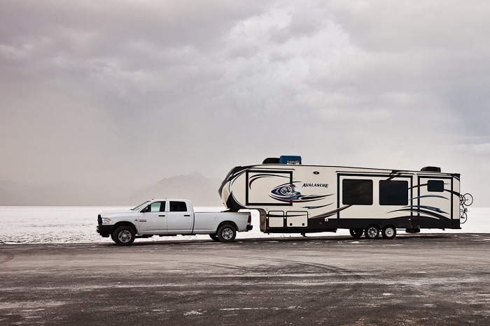
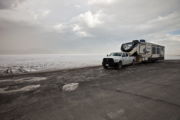
We left Great Basin National Park this morning and drove North to visit the Bonneville Salt Flats:

Day407_02

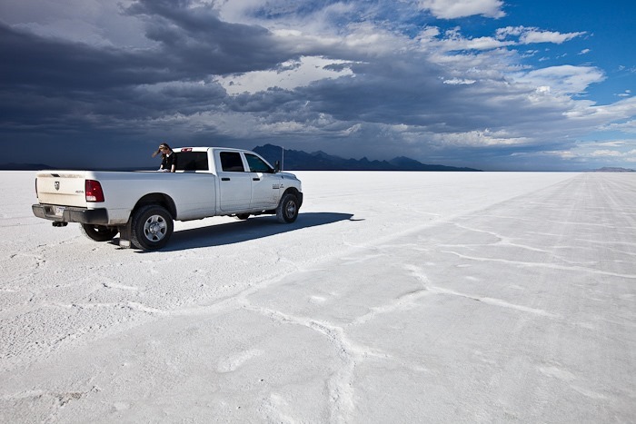
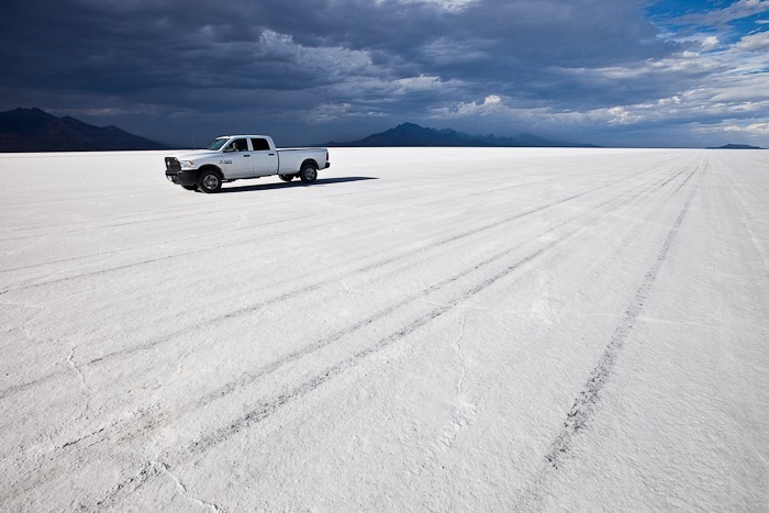
The Salt Flats are submerged beneath an inch of water over the winter.  In the summer this water evaporates and leaves a smooth surface which is perfect for setting land speed records.  The flats are over 46 square miles in size:

Day407_01

‘We got the truck up to 75MPH, which felt plenty fast.  Hard to believe vehicles have been driven here in excess of 600MPH.

We also verified that the truck’s “ESC off” mode works, though it does take a bit of doing to do a doughnut in a one-ton truck.

We also took the kids for a slow ride in the bed of the pickup:

Day407_03

Day407_04

Day407_05

Lightning was moving in, so we got off the flats and back to the RV:

Day407_06

Day407_07

Day407_08

Day407_09

From the flats, we continued West and North to overnight behind a casino in Wells, Nevada.  See the trip map for driving details.

UPDATE: The kids produced a podcast for today’s adventure:

Day 406: Great Basin National Park

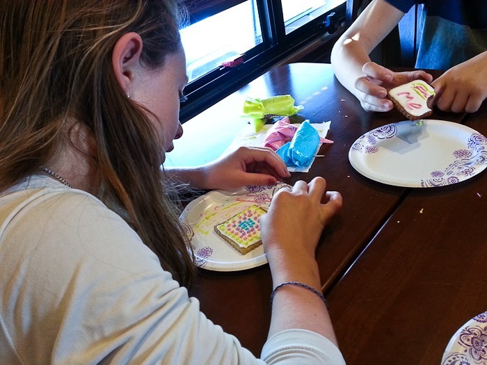
Today the kids did some cookie decorating in the RV:

Day406_01

Day406_02

Trish made mini apple pies:

Day406_03

Meanwhile, I decided to ride to the summit of the road up Wheeler Peak.  The ride starts in town at 5,318 feet and ends 15.6 miles later at 10,163 feet, a vertical gain of 4,845 feet.  Outside Magazine listed this ride as one of the five best North American hill climbs.  The climb is longer and as steep as the Tour de France’s Hors Categorie climb of Col d’Izoard.
I left at 11am, and the first half of the climb was really hot.  Eventually, I climbed past 8,000 feet, and the temperature dropped considerably.  Up here, it’s already Autumn:

Day406_04

Looking at the switchbacks in the foreground and the start point, the town of Baker, in the background:

Day406_05

The higher I went, the deeper into Autumn I travelled:

Day406_06

Day406_07

At last I reached the summit, nearly one vertical mile above my start point.  The climb had more vertical than Whitney Portal but less than Horseshoe Meadows:
Day406_08

Day406_09

Wheeler Peak in the background:

Day406_10

I suffered two flats on the way down, but it was still a great ride!

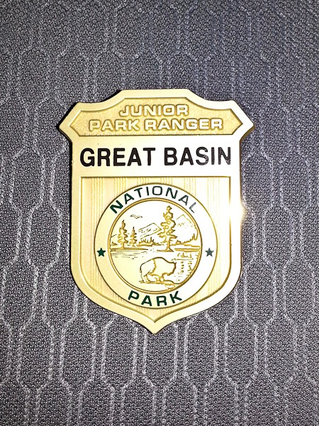
Back at the visitor center, the kids received their Junior Ranger badges:

Day406_11

Day406_15

We watched the Park’s excellent video in the modern visitor center:

Day406_12

It was a little late to drive on to a new location, so we settled into a great dispersed camping spot I found on BLM land:

Day406_13

As I write this I can hear the swiftly flowing stream a few feet from the RV as well as a host of crickets.  Good night from Great Basin National Park!

UPDATE: The kids produced a podcast for today’s adventure: