Day 23: Summer Lake, OR to Hancock Field Station, Clarno, OR

After getting a few hours less sleep than I’d like, we headed North towards La Pine.  It’s a lonely road, but in the end we reached Bend where we picked up a few things at my first ever visit to Harbor Freight.

Once we turned onto 218, it was pretty lonely, and we soon reached Antelope, that dying town with its tragic history.

At last we reached the sign that I had been waiting 20 years to see again:

Day_023_01

I had staffed here for three summers in the 90s, and attended programs as a student for a half dozen years before that.  It was good to be back!

After getting everything set up, I went for a quick ride.  On the way, I passed through the town of Clarno, population 2 or so.  The abandoned grange hall had been repainted and fixed up.  There were a number of RVs parked there, so I asked what was going on.  Turns out it was a Clarno family reunion, and Grandma Clarno had purchased the grange hall from the BLM and turned it into a family museum. 

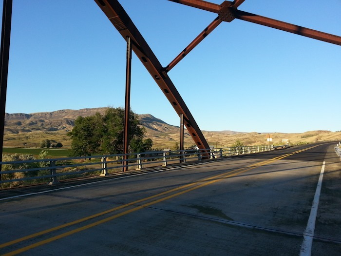
Crossing the John Day river:

Day_023_02

Day_023_03

The climb out of the John Day River valley was brutal, here are the stats:

I’ll be doing some Photography and Astronomy instruction this weekend.  It really is great to be back!

We drove 193 miles today.   See the trip map for today’s drive and our current location.

Day 22: Gardnerville, NV to Summer Lake, OR

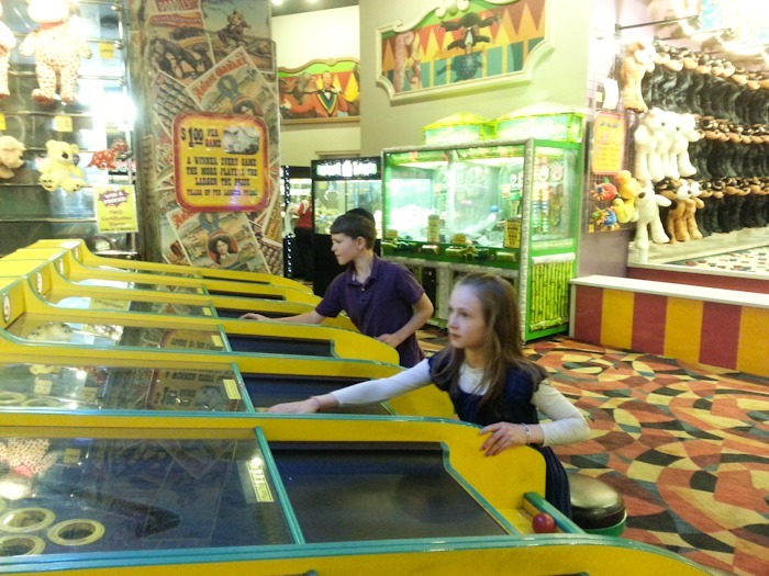
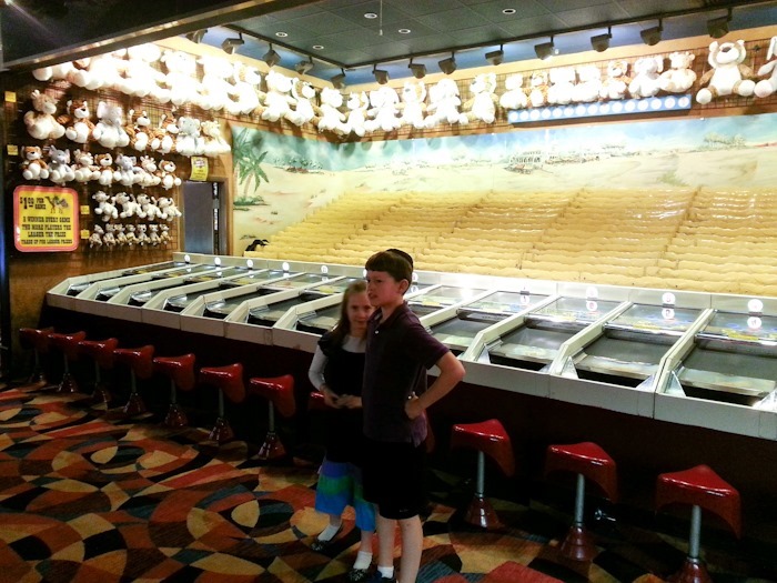
By the time we woke up, the smoke from the Rim Fire had cleared.  We drove North to Reno where Trish did the laundry and I surprised the kids by taking them to their first visit to the midway at Circus Circus.  They won a few stuffed animals and had a great time:

Day_022_01

Day_022_02

Day_022_03

From Reno, we continued North.  We nearly ran out of gas on the desolate road to Alturas, running 219 miles on one tank, a record for us.  We had dinner at a park in Alturas and continued on, stopping for the night at a rest stop in Summer Lake, OR.

We drove 344 miles today.   See the trip map for today’s drive and our current location.

Day 21: Tuolumne Meadows, Yosemite NP, CA to Gardnerville, NV

Although we have our campsite until Thursday, we decided to leave a day early.  The smoke from the Rim Fire is pretty oppressive.

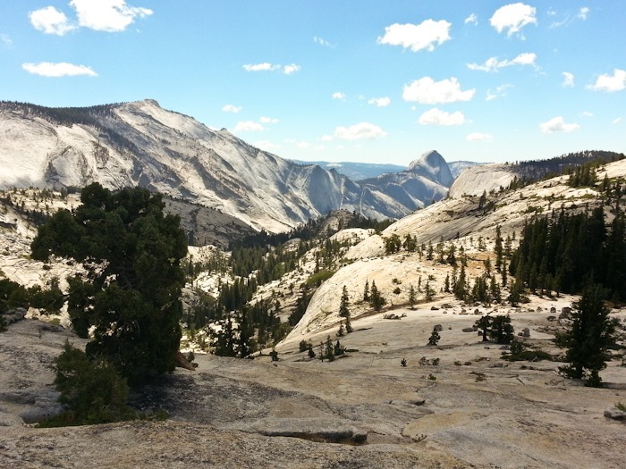
We drove up to Olmstead Point:

Day_021_01

Day_021_02

The kids got their junior ranger badges, and we hitched up the RV, dumped tanks, filled water, got some gas at hit the road.  We were sad to go!  Descending Tioga road was a bit scary but doable, coasting down in 1st gear.  We drove through the smoke for over 110 miles and stayed at the Walmart of Gardnerville, NV.    See the trip map for today’s drive and our current location.
Day 20: Young Lakes backpack, Day 3

Another beautiful morning:

Day_020_01

Day_020_02

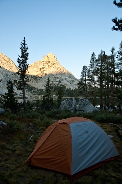
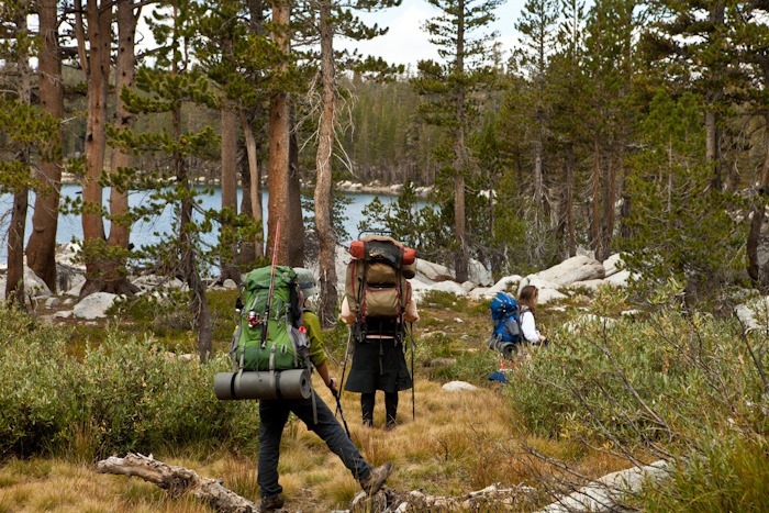
We broke camp and prepared to return to the RV:

Day_020_03

Day_020_04

So long, Young Lakes:

Day_020_05

Day_020_06

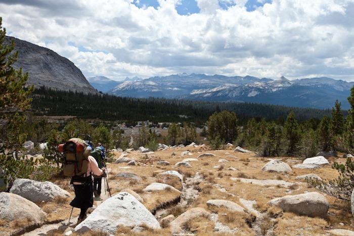
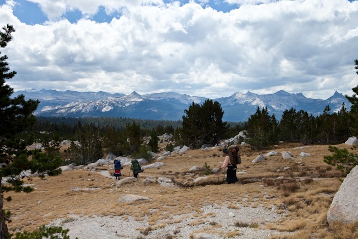
Now that’s a hike with a view:

Day_020_07

Day_020_08

Day_020_09

We went up via the Glen Aulin trail, and came down via the Dog Lake trail.  We stopped at Dog Lake for lunch.  Again, the Rim Fire smoke suddenly moved in and dramatically reduced visibility:

Day_020_10

From Dog Lake, it was a couple miles of hiking back to the RV.  We had a great time on our backpack, but it was really nice to take a hot shower when we got back.

Our first family backpack was a tremendous success!  We can’t wait to do another one soon!

Day 19: Young Lakes backpack, Day 2

Monday dawned cold and crisp.  Although it would be quite warm by mid-day, at 10,000 feet the thin atmosphere surrenders much of its heat overnight.

Day_Actual_018_01

M tried unsuccessfully to catch our breakfast:

Day_Actual_018_02

Day_Actual_018_03

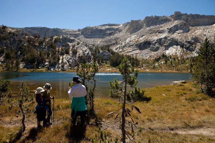
We set out fairly early and hiked East from our tent at Lower Young Lake to Middle Young Lake:

Day_Actual_018_04

Day_Actual_018_05

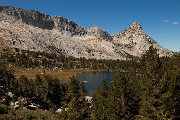
We then hiked up a steep draw and looked back at Middle Young Lake:

Day_Actual_018_06

We then made our way higher up to Upper Young Lake:

Day_Actual_018_07

Day_Actual_018_08

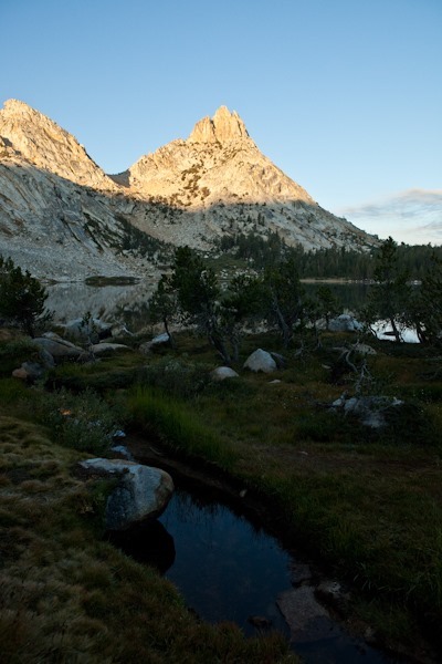
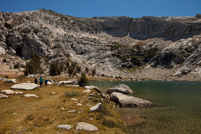
Upper Young lake is at 10,400 feet, and is above treeline.  Its surrounding ridge is stark and steep:

Day_Actual_018_09

From Upper Young Lake, we worked our way Northeast into an alpine valley:

Day_Actual_018_10

Day_Actual_018_11

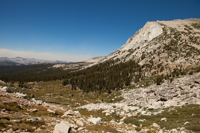
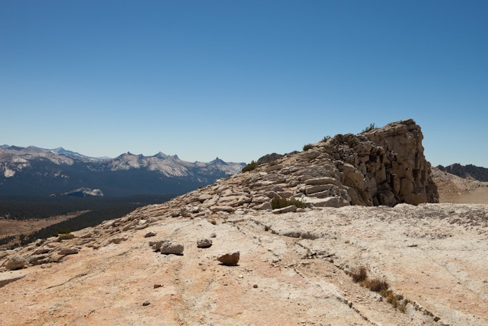
At 10,200 feet, we hiked South out of the valley towards the ridge. Trish and the kids stopped when the climb became steep enough to demand using handholds, at about 10,800 feet.  I summited the ridge at about 11,100 feet.  Here’s the view from the ridge to the South.  I believe that’s Lembert Dome at the right side of the frame:

Day_Actual_018_12

Looking along the ridge:

Day_Actual_018_13

The views back towards the valley from which we climbed were spectacular:

Day_Actual_018_14

Day_Actual_018_15

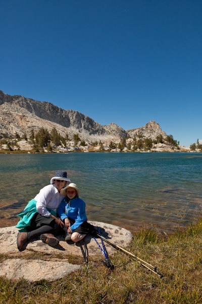
Family photo on the way down:

Day_Actual_018_16

We stopped in the valley to fill our water bottles in the alpine stream.  We used a filtration pump to get rid of any nasties in the water:Day_Actual_018_17

Day_Actual_018_18

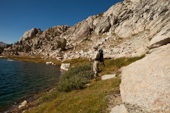
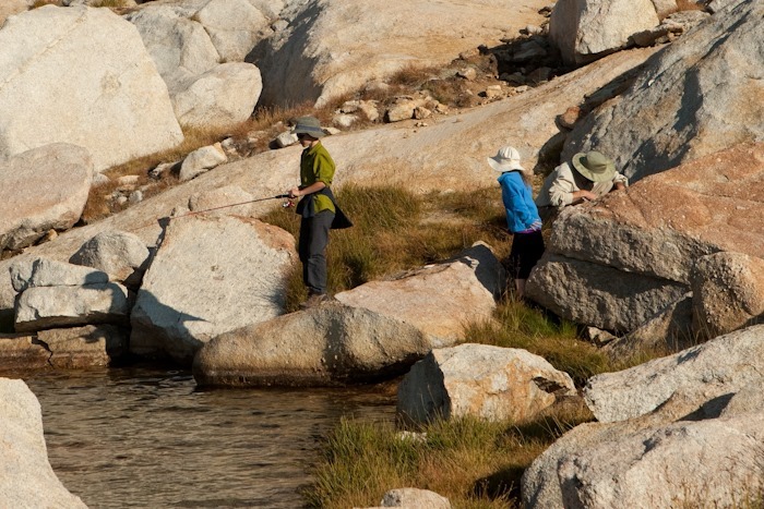
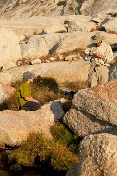
We did a bit of fishing at Upper Young Lake on the way back to camp:

Day_Actual_018_19

Day_Actual_018_20

Day_Actual_018_21

Once the fish started biting, it was a frenzy.  Our son pulled in a fish on every 6th cast or so.  We caught and kept four fish, which made a wonderful addition to our dinner:

Day_Actual_018_22

Day_Actual_018_23

Day_Actual_018_24

Day_Actual_018_25

Day_Actual_018_26

As we descended towards Middle Young Lake, the smoke from the Rim Fire settled in:

Day_Actual_018_27

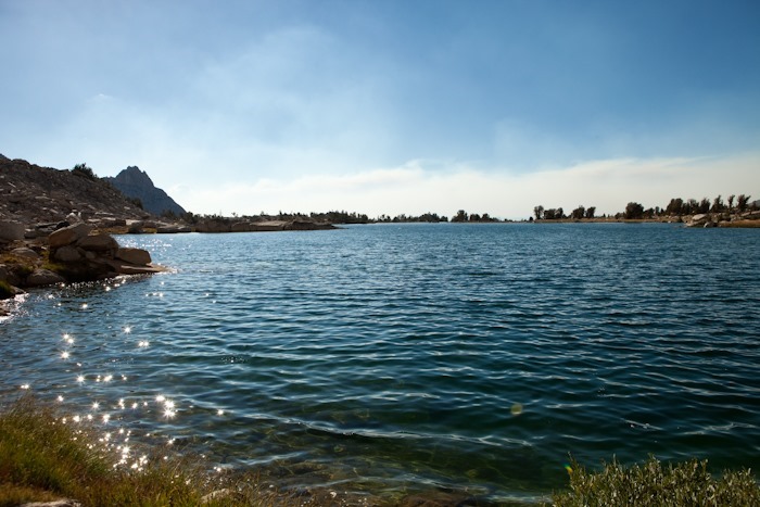
Middle Young Lake reflection with fire haze:

Day_Actual_018_28

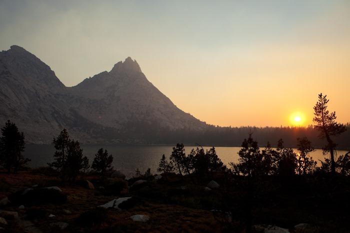
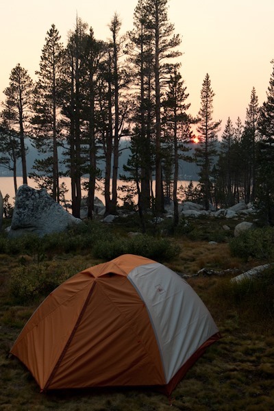
The smoke did make sunset quite spectacular:

Day_Actual_018_29

Day_Actual_018_30

Our son took it all in stride:

Day_Actual_018_31

Day_Actual_018_32

Day_Actual_018_33

Hike stats, at least until our device ran out of batteries, are here: