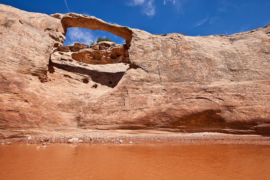
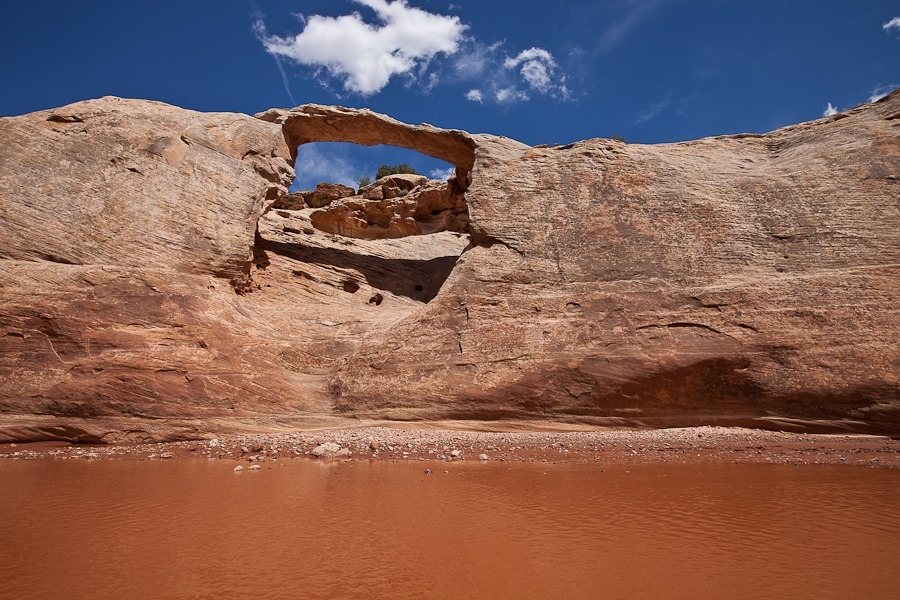
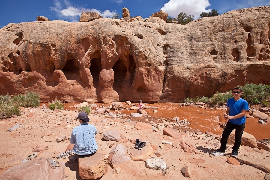
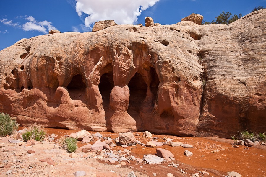
Day 641: Exploring Canyonlands National Park, Needles District

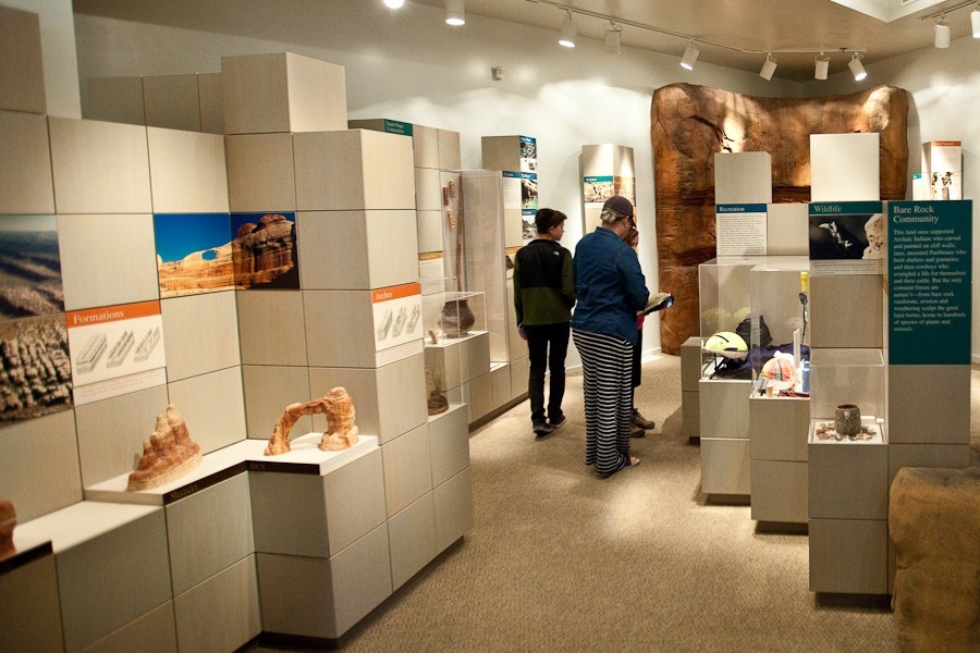
Shabbos dispersed camping just outside of Canyonlands National Park was pleasant.  Today we drove into the park and visited the Needles District visitor center:
Day641_01

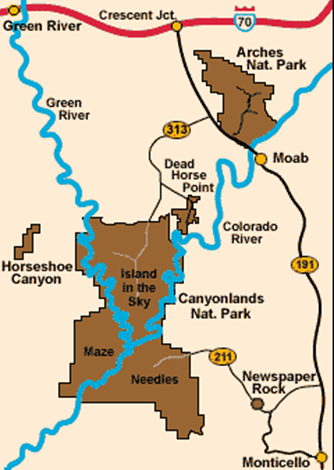
The park is divided into three districts by impassible canyons channeling the Colorado River (right), and the Green River (left).  The Maze has no paved roads and takes hours to reach, so we decided not to try to get there.  Later this week, we will drive North to Moab and visit the Island in the Sky district:
image

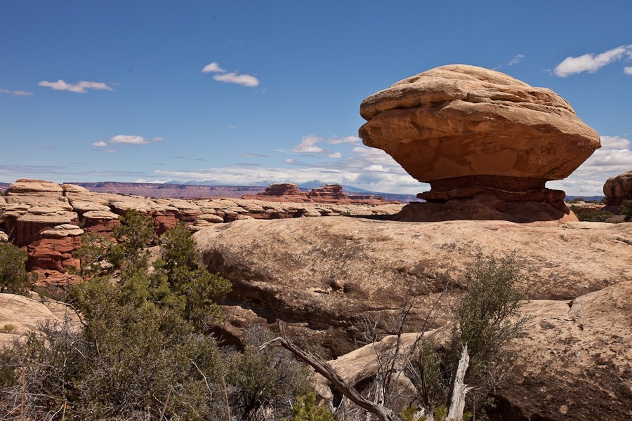
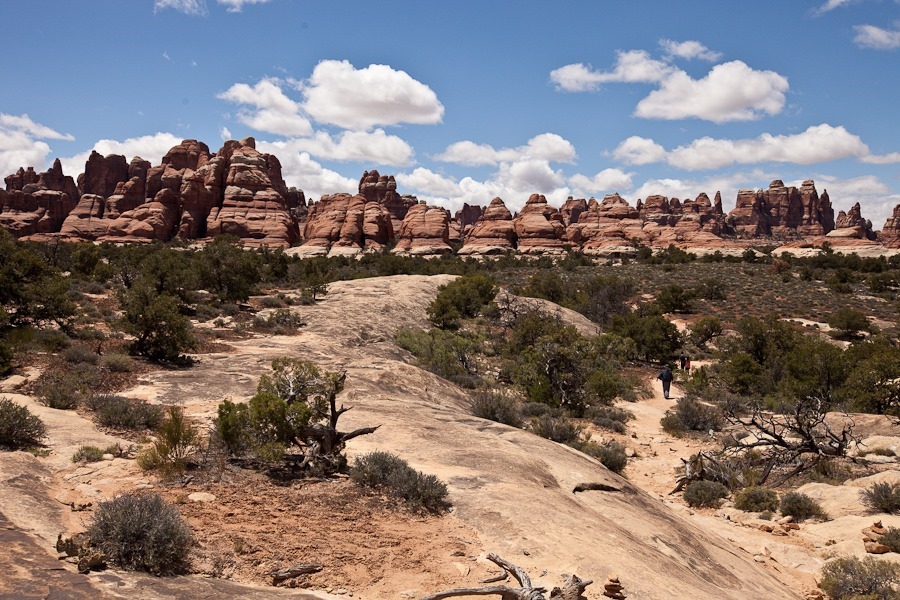
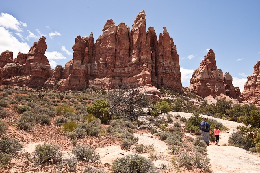
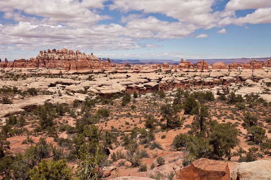
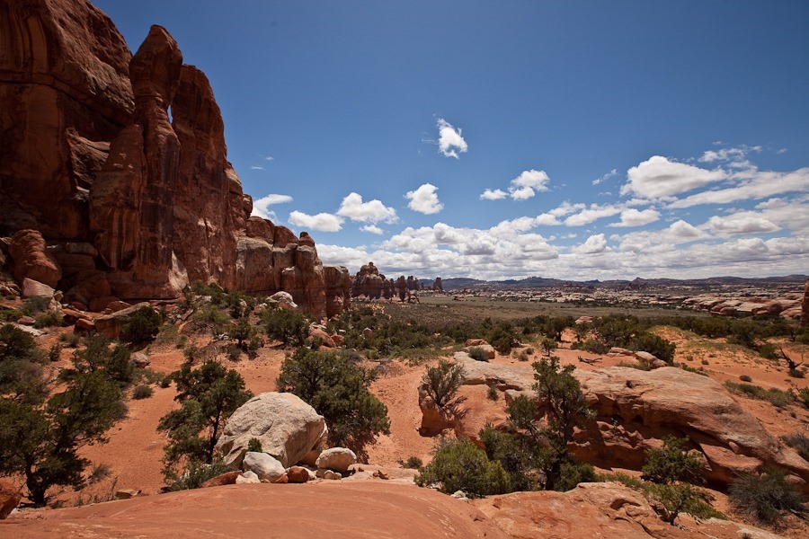
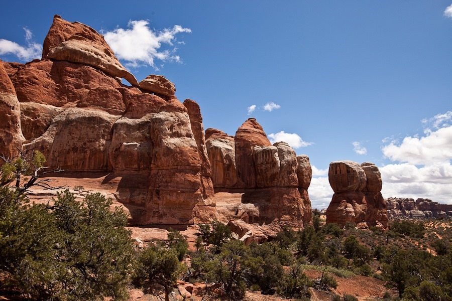
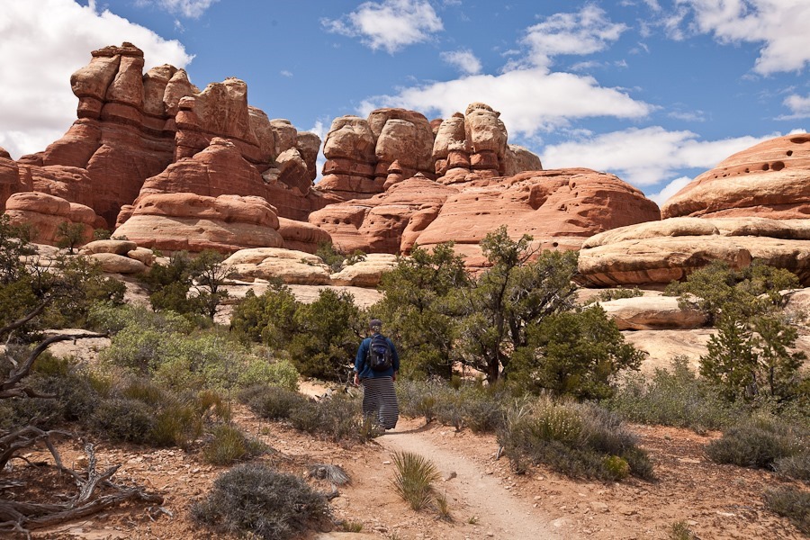
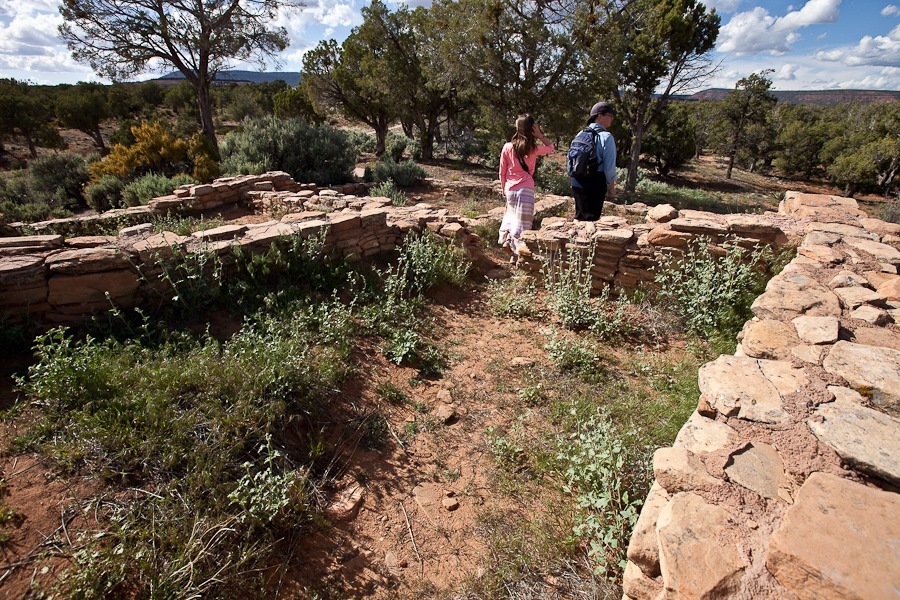
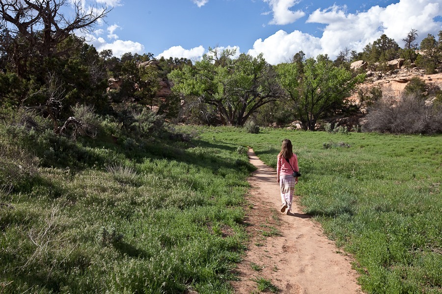
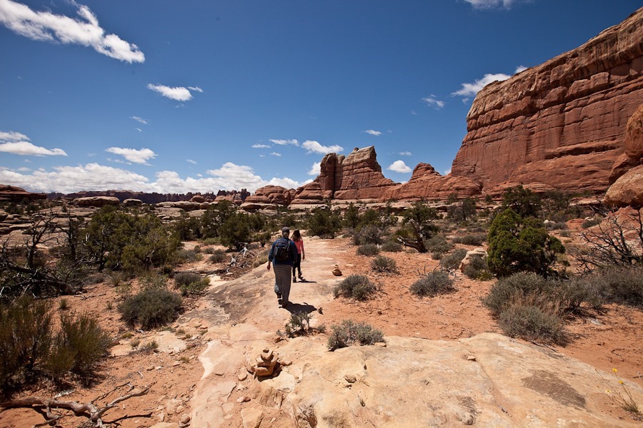
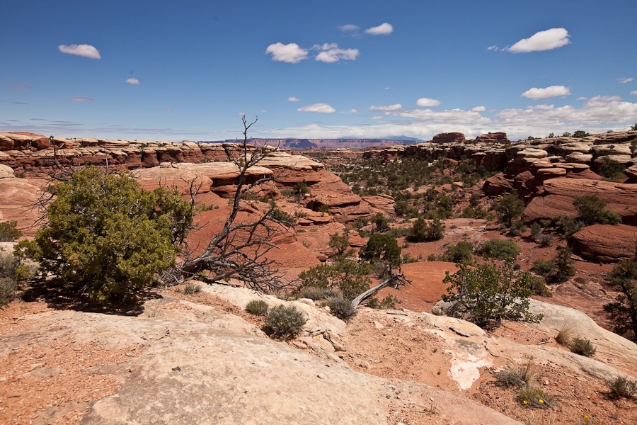
Leaving the visitor center, we drove to the Elephant Hill trailhead and hiked towards Chesler Park, where the needle formations for which the park is named can be viewed:
Day641_02

Day641_03

Day641_04

Day641_05

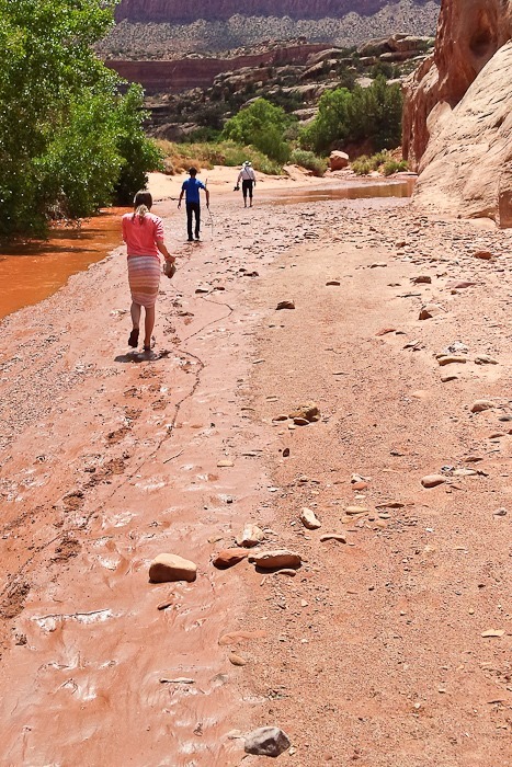
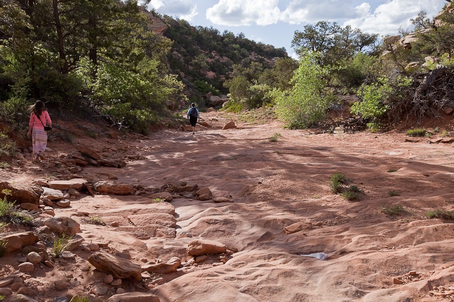
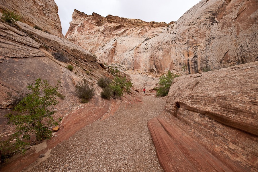
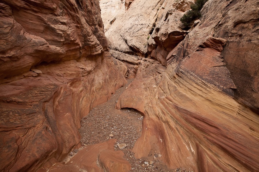
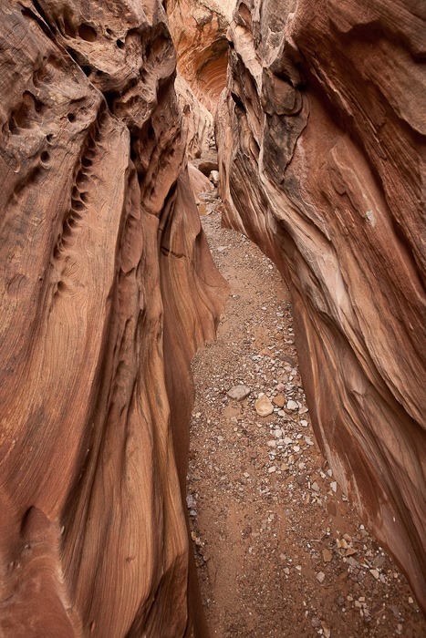
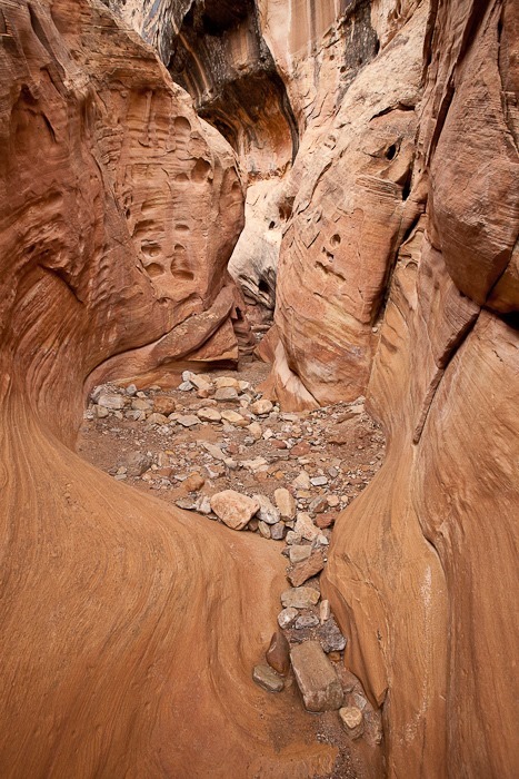
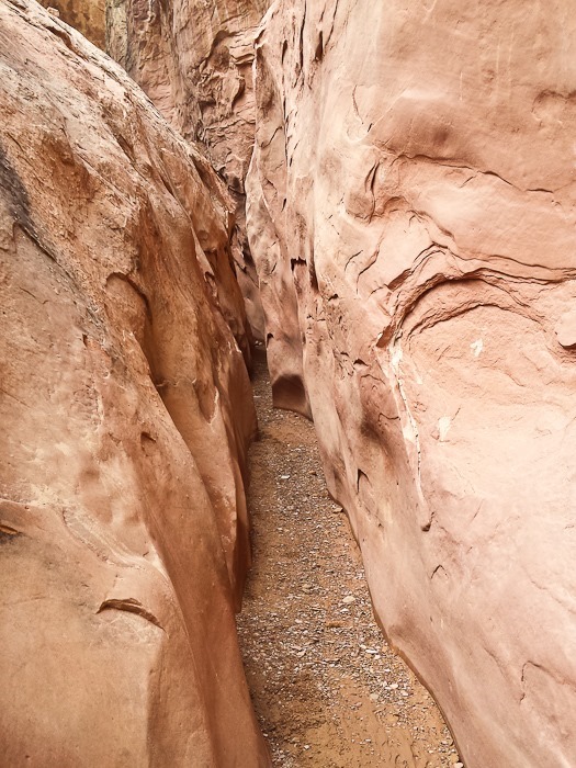
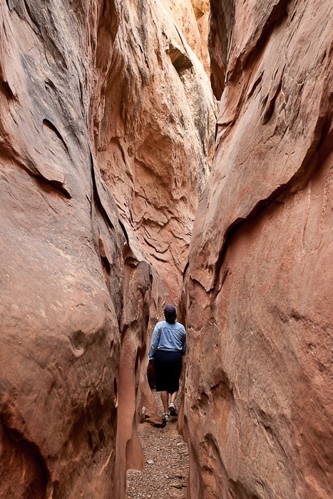
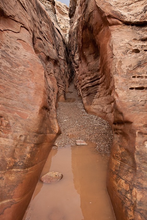
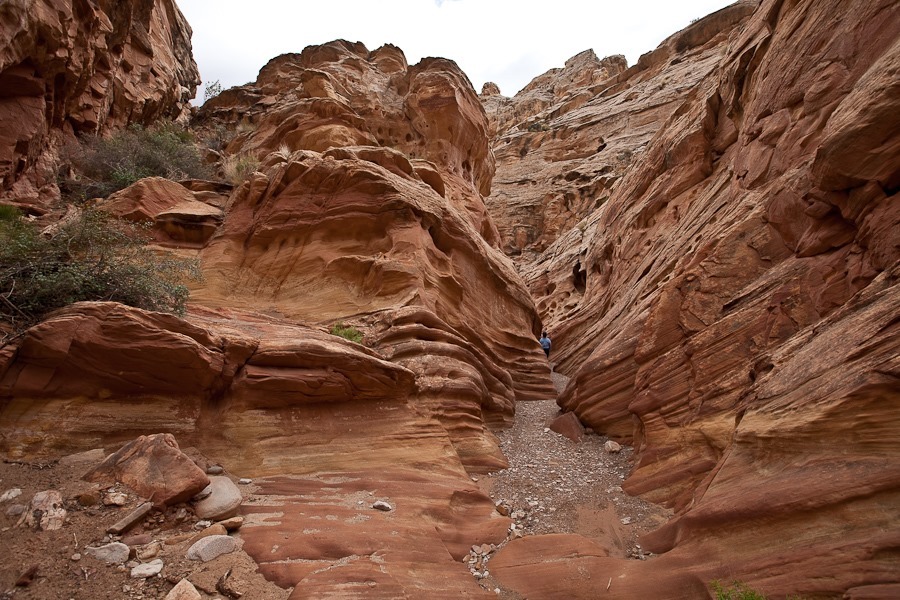
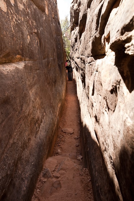
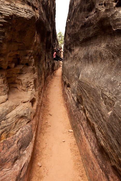
There was a narrow canyon to walk through:
Day641_06

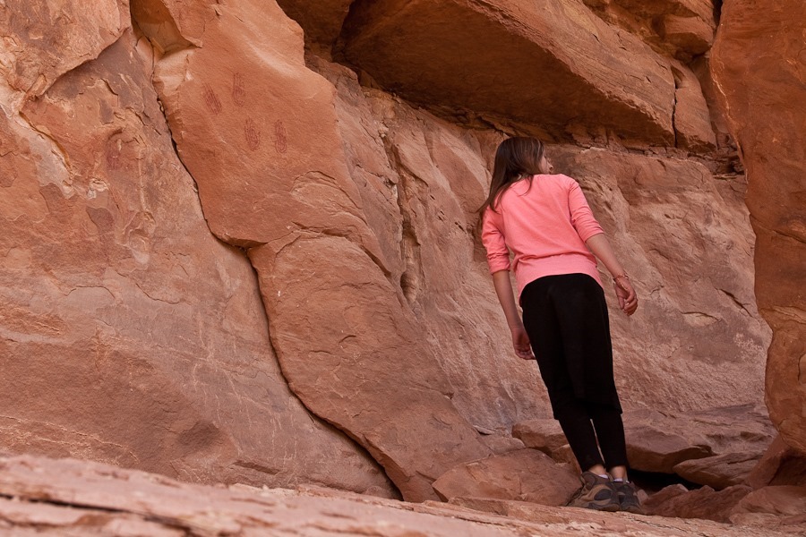
The kids spotted ancient hand print pictographs on this rock.  B is looking for more:
Day641_07

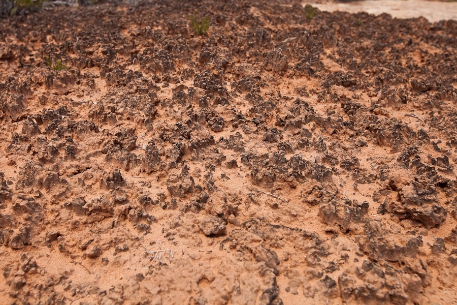
All along the trail we saw mature cryptobiotic soil.  We were careful not to “bust the crust”:
Day641_08

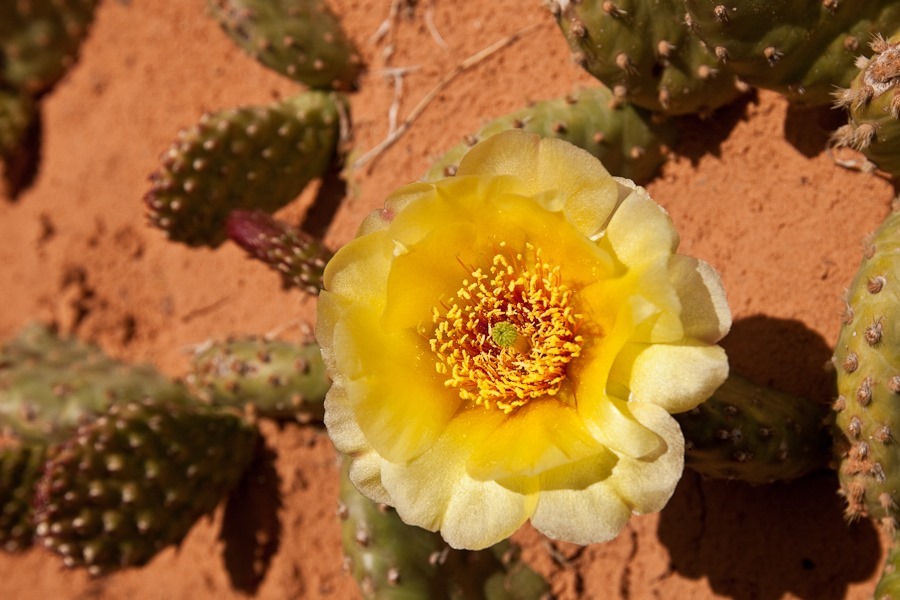
Cactus in bloom:

Day641_09

Day641_10

Day641_11

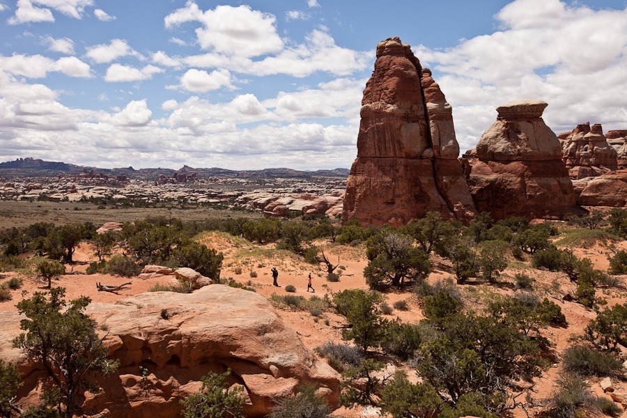
At last we reached Chesler Park and could look out over the needles in the distance:
Day641_12

Day641_13

Day641_14

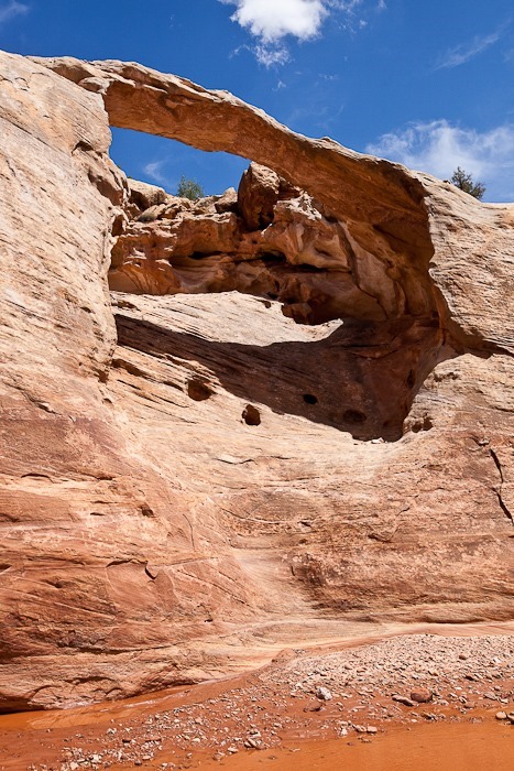
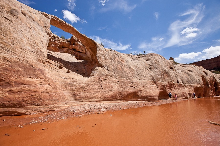
There was also a nice arch here:

Day641_15

We went back the way we came back through the narrow canyon:
Day641_16

Day641_17

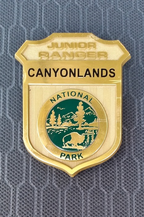
Returning to the visitor center, the kids handed in their workbooks and received their Junior Ranger badges:
Day641_18

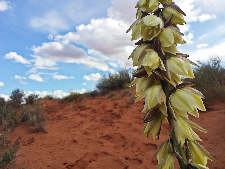
Agave in bloom:

Day641_19

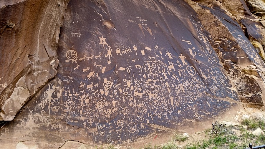
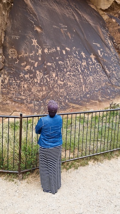
Here we only have tenuous Verizon voice connection with our backup phone, so we decided to drive up to Moab this afternoon.  On the way back to the highway, we stopped to visit Newspaper Rock State Historic Monument, where Native Americans have been fashioning pictographs for over 2,000 years:
Day641_20

Day641_21

Continuing north, we stopped in Moab for groceries, diesel, water, and dumping sewer tanks.  BLM lands in the Moab area for the most part do not allow dispersed camping due to the amount of use the area receives, so we continued north on highway 191 for 12 miles to a dispersed camping location on Utah state SITLA land.  See the trip map for today’s drive and our current location.
Day 639: North to Canyonlands

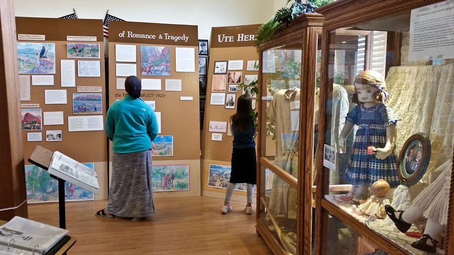
Today we stopped at the tourist information center in Blanding on the way our of town.  We refilled the RV’s water tank and checked out the museum in the visitor center:

Day639_01

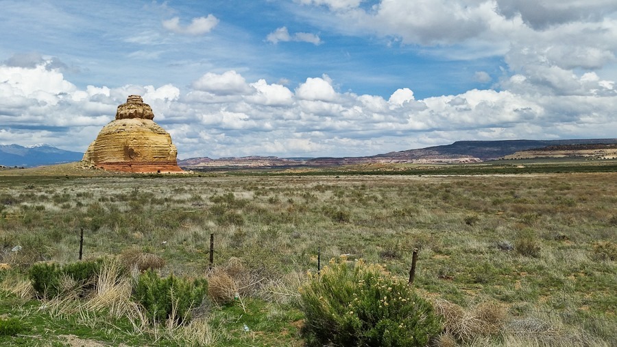
Driving north, we passed Church Rock:

Day639_02

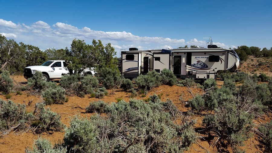
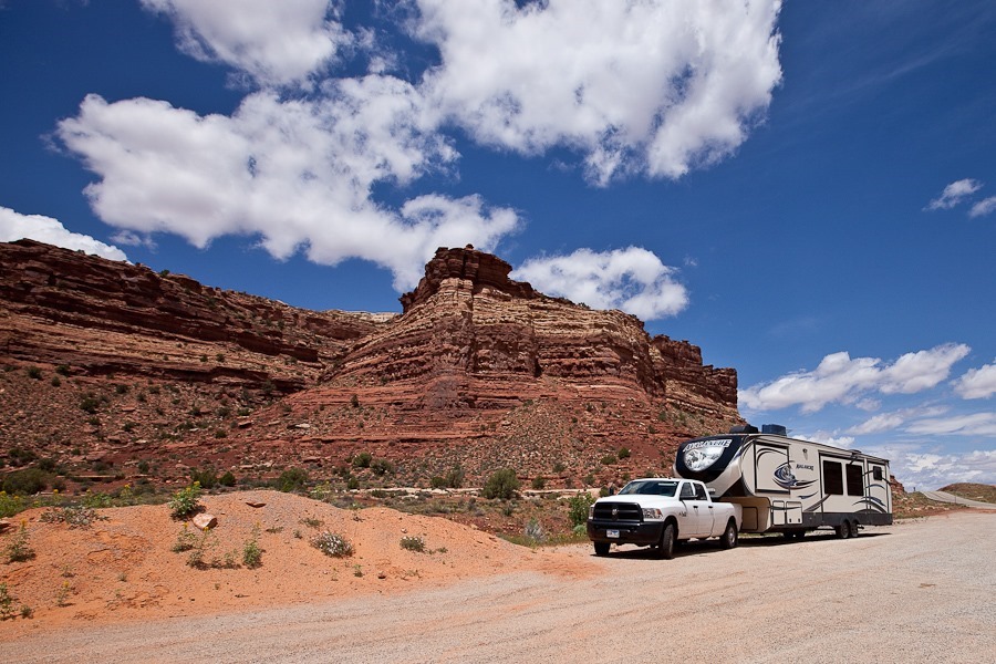
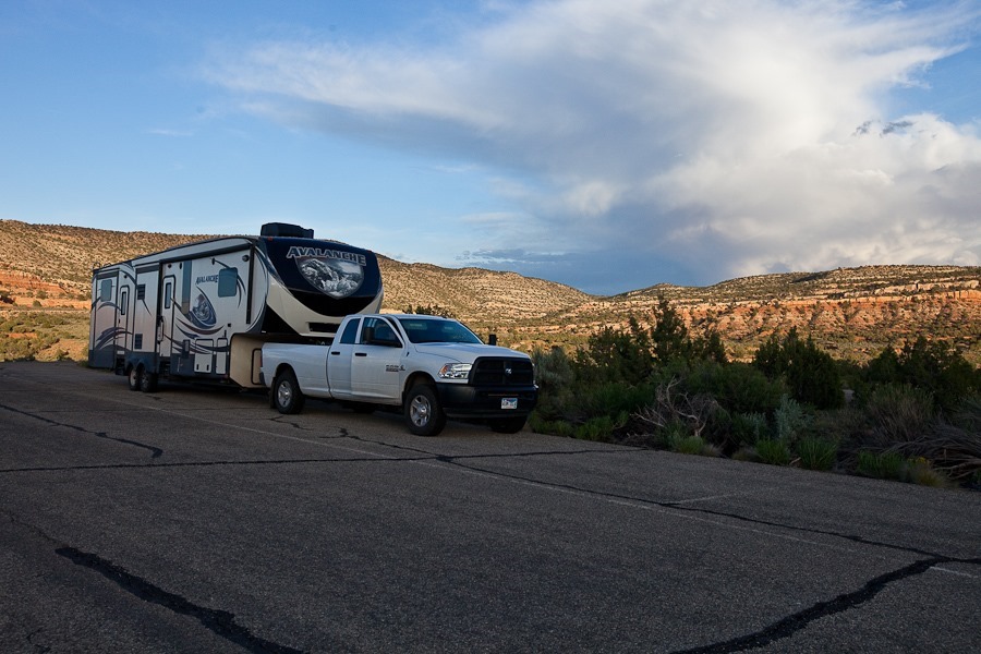
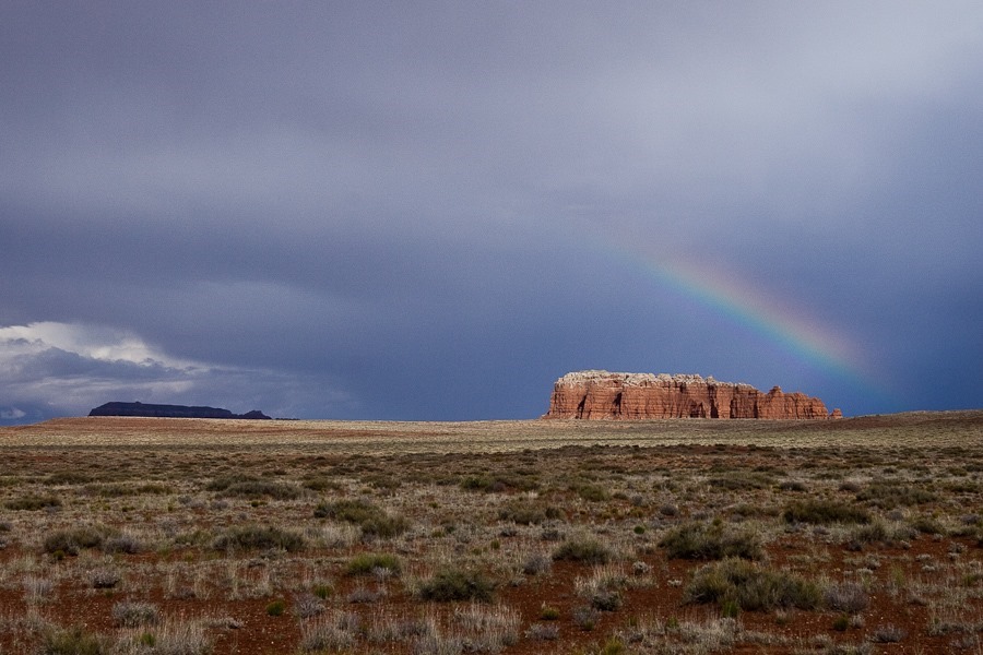
We found a dispersed camping spot on BLM land a few miles from the visitor center at the Needles district of Canyonlands National Park:

Day639_03

Good Shabbos from near Canyonlands National Park!  See the trip map for today’s drive and our current location.
Day 637: Crossing the Colorado, Arches and Grottos, House on Fire

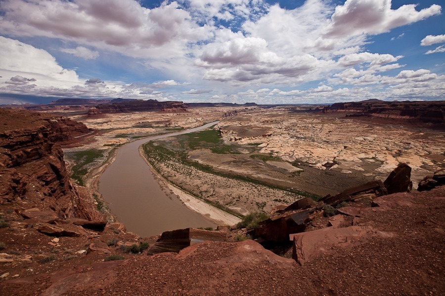
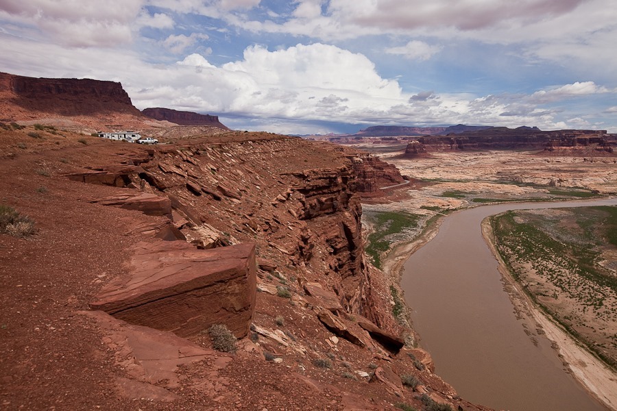
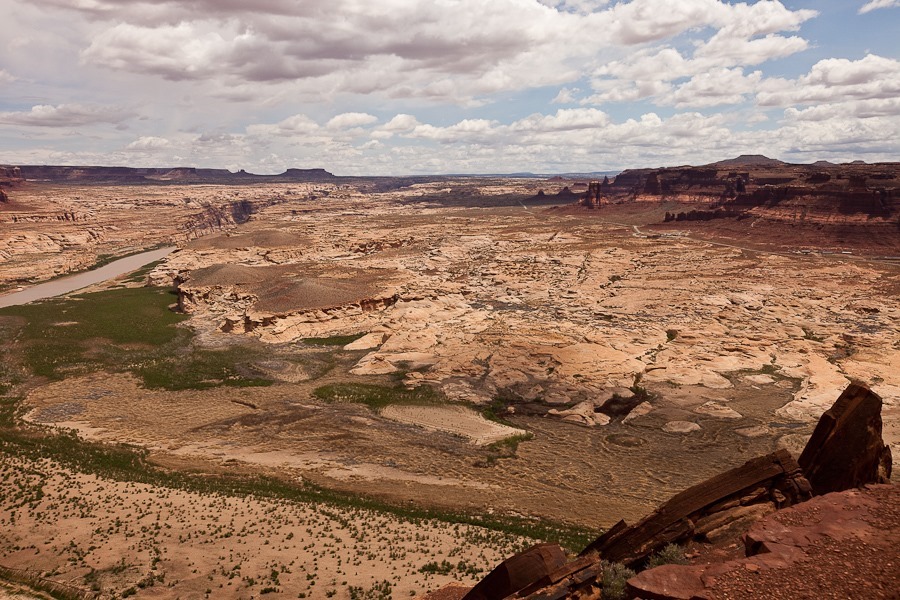
We left Hanksville this morning and drove east and south to an overlook on the Colorado River:

Day637_01

Day637_02

Day637_03

We crossed the Colorado River using the bridge at Hite (as opposed to the ferry crossing at Lees Ferry), and pulled off the road a few miles to hike up to a pair of arches I had read about:

Day637_04

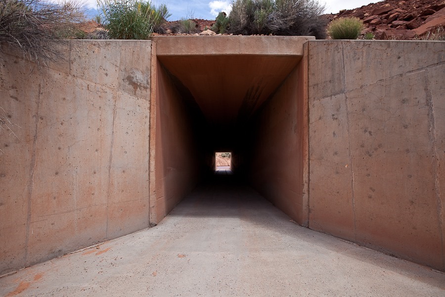
We walked across the road and saw that we it would be easiest to get down to the river through the vehicle culvert under the road, so we went back:

Day637_06

Walking through the culvert under the road:

Day637_07

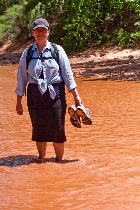
Trish took off her shoes and waded across the river.  The kids and I went downstream 50 feet and found a place to cross:

Day637_08

Day637_09

Day637_10

One of B’s flower photos:

Day637_11

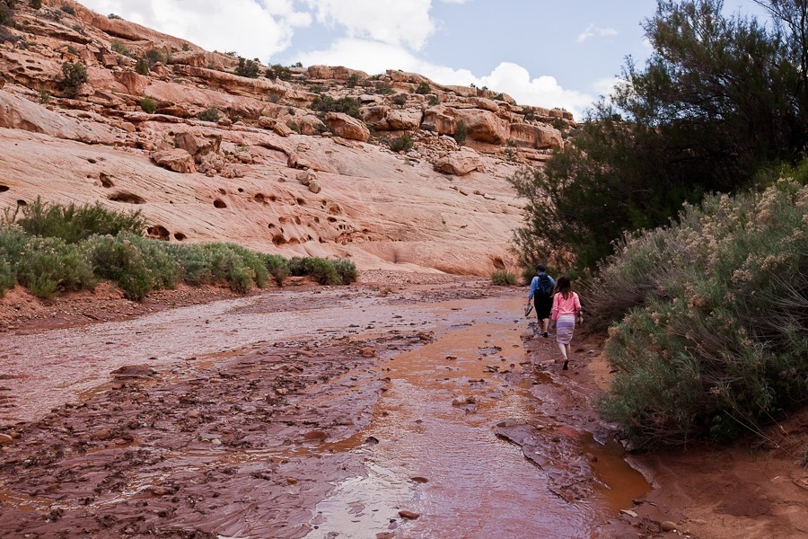
Eventually, the trail ended and we were forced to walk in the river:

Day637_12

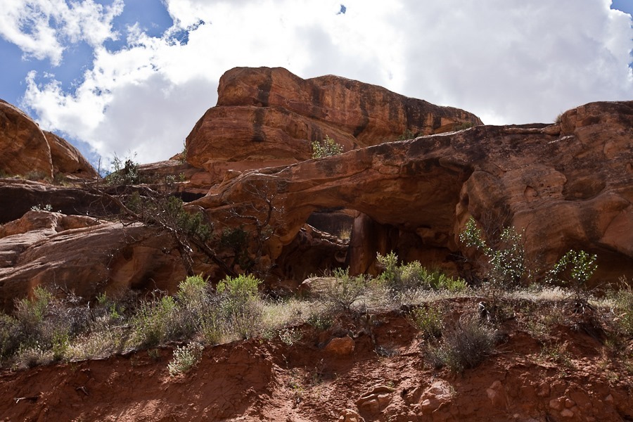
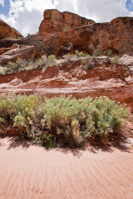
We found Ducket Arch along the river bank:

Day637_13

Day637_14

Day637_15

Day637_16

Day637_17

Farther upstream we reached Big Arrowhead Arch:

Day637_18

Day637_19

Day637_21

Day637_22

We stopped at this structure, called The Grottos.  The kids found a few nice petrified wood chunks:

Day637_23

Day637_24

On the way back:

Day637_25

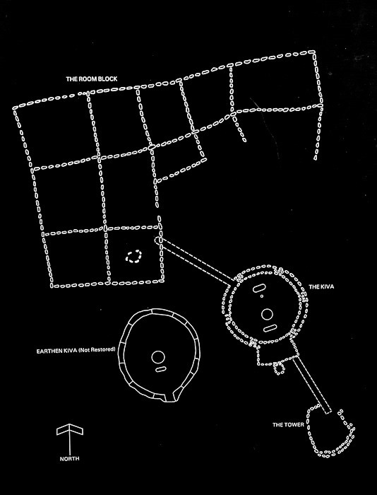
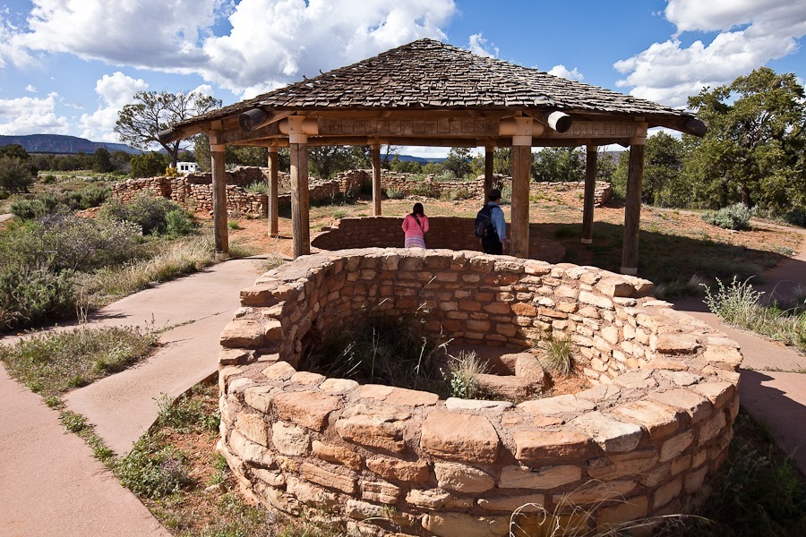
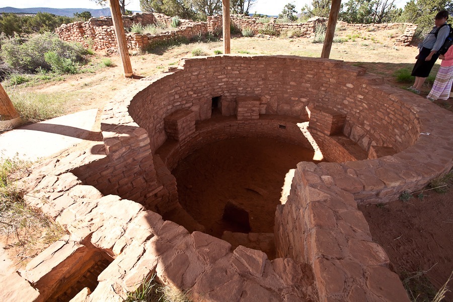
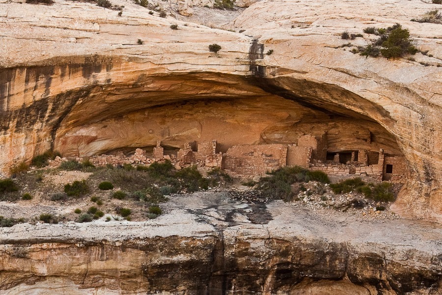
Continuing on, we stopped at a roadside pullout where a preserved 11th century Native American site has been restored:

Day637_27

Day637_28

Day637_29

Day637_30

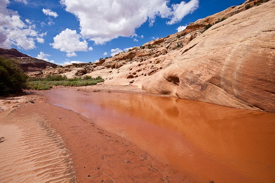
We drove another mile and pulled off at the trailhead for Lower Mule Canyon, home of the Native American structure called House on Fire.  The trail through the canyon was lush in spots:

Day637_31

Day637_32

Day637_33

The canyon wall had some interesting eroded grottos:

Day637_34

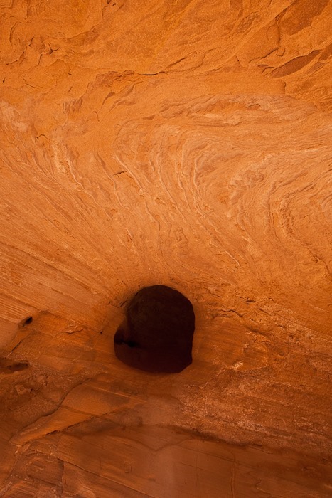
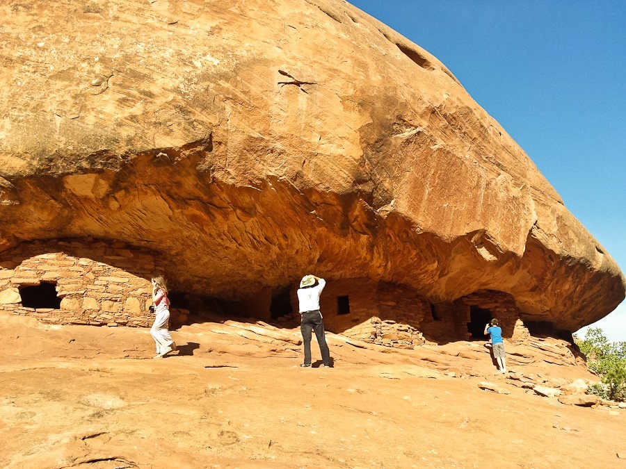
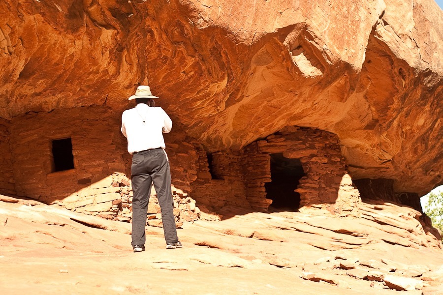
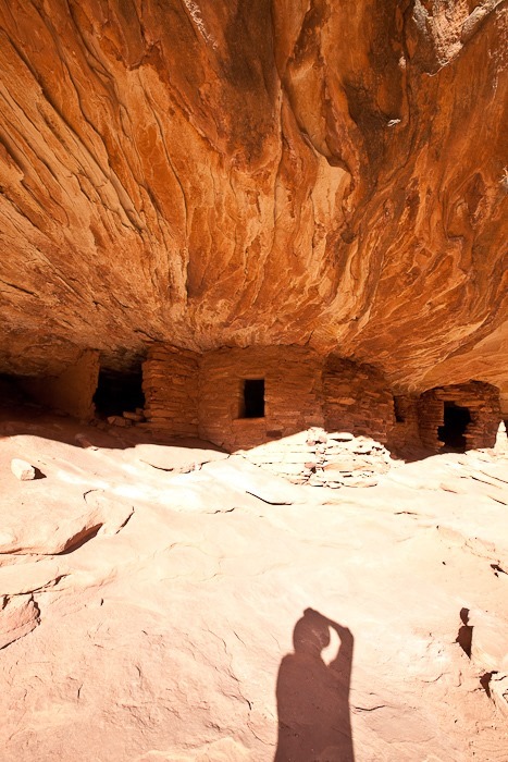
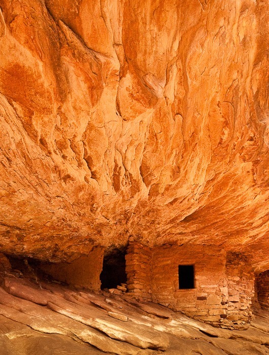
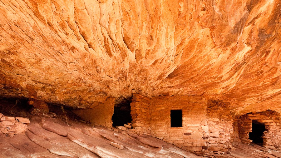
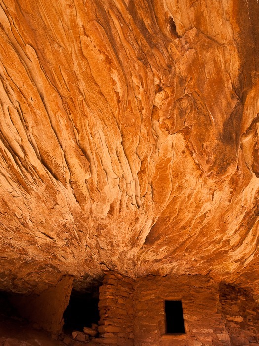
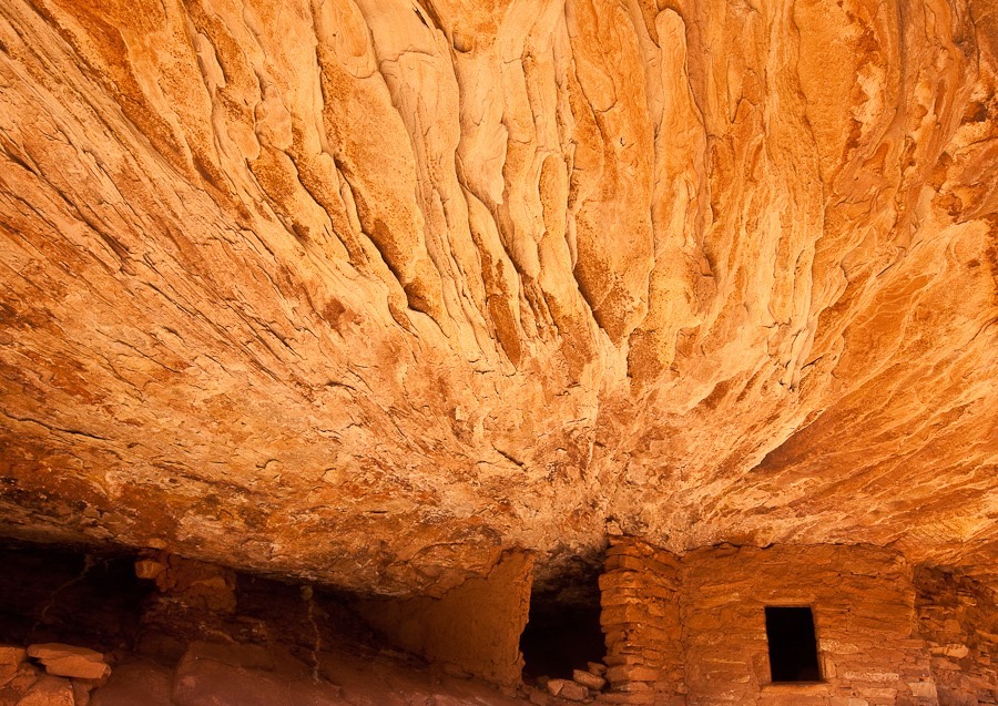
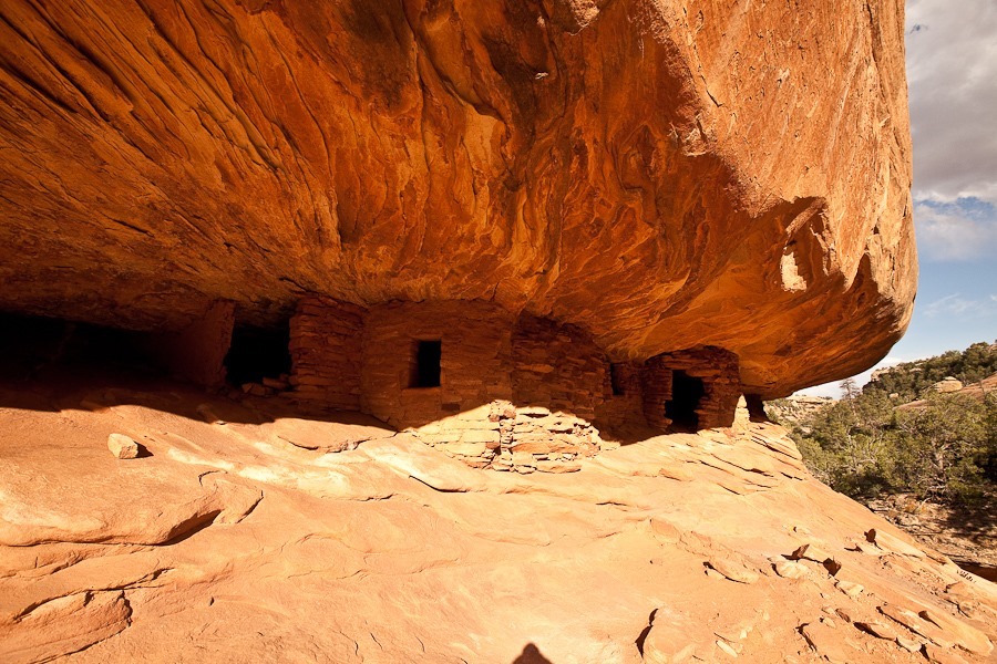
At last we reached the House on Fire dwelling complex.  Ideal time for photography is when the sun is highest, around 1pm during daylight savings time.  We arrived a few hours later, so the sun was unfortunately fully illuminating the lower half of the structure:

Day637_35

The House on Fire:

Day637_36

Day637_37

Day637_38

Day637_39

Day637_40

Day637_41

IMG_9624-667-2

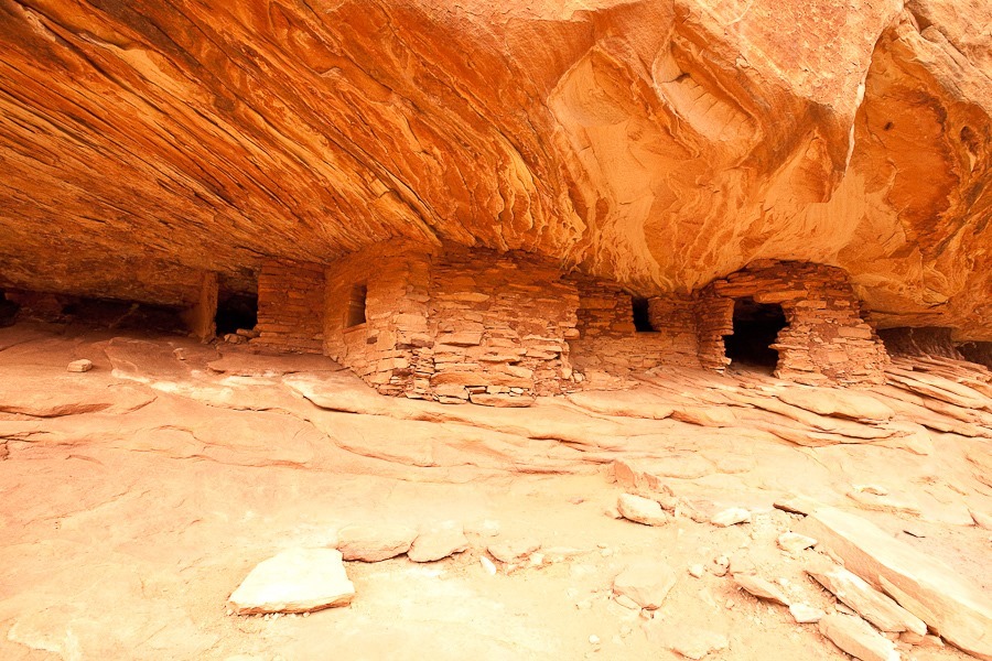
From this side, much of the effect is lost:

Day637_42

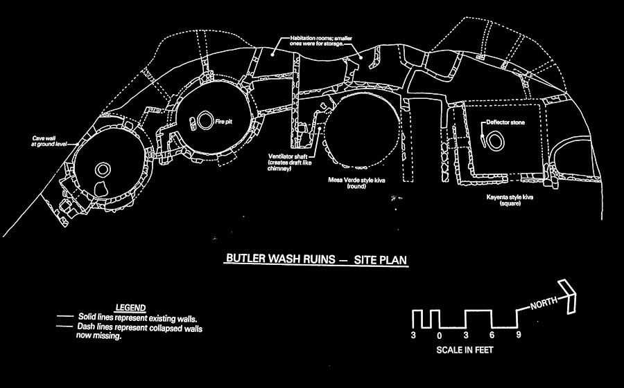
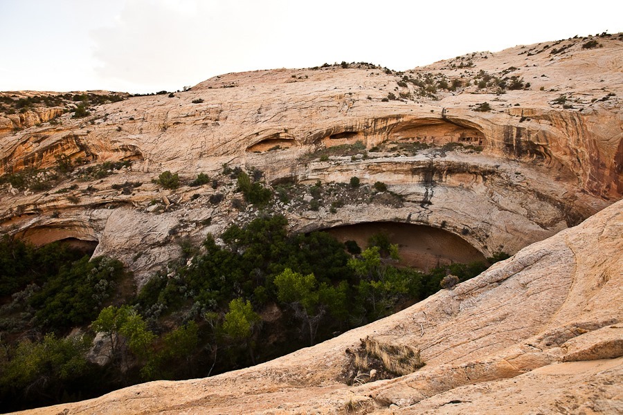
Driving on, we visited the Butler Wash overview.  I walked out a half mile or so to view the townsite built into the canyon wall, much like at Mesa Verde:

Day637_43

Day637_44

Day637_45

Day637_46

Continuing on a bit father, we are overnighting in a dispersed camping location a few miles west of Blanding, Utah.  See the trip map for today’s drive and our current location.
Day 636: Goblin Valley State Park

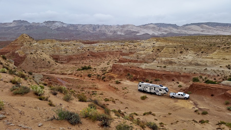
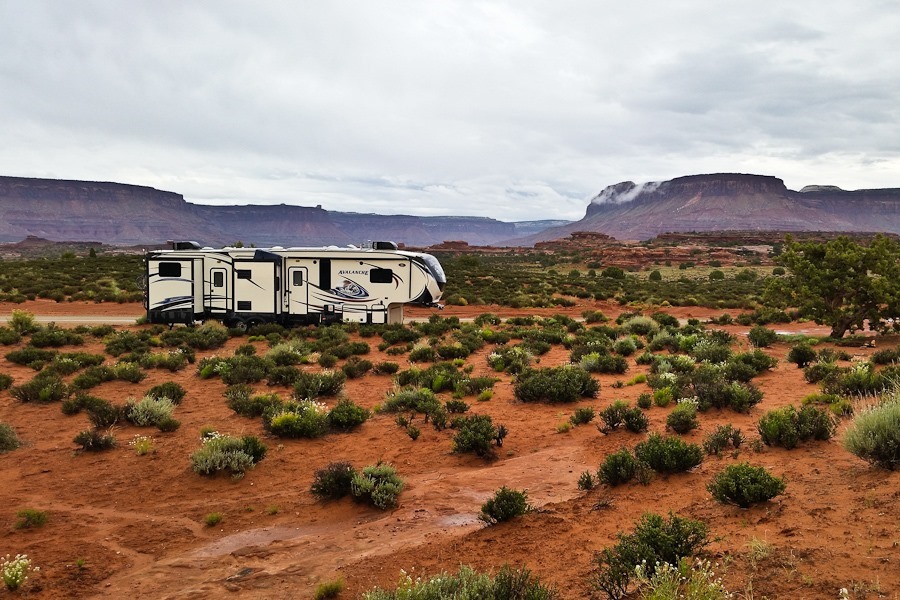
It’s a cloudy day here outside of Goblin Valley State Park.  We overnighted in this short little canyon:

Day636_01

Day636_03

Day636_04

Day636_05

I climbed to the top of the canyon wall, where I could see Goblin Valley to the south.  It’s also the only place around here that the phone seems to work:

Day636_02

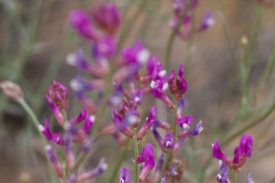
B has started creating flower photos:

Day636_06

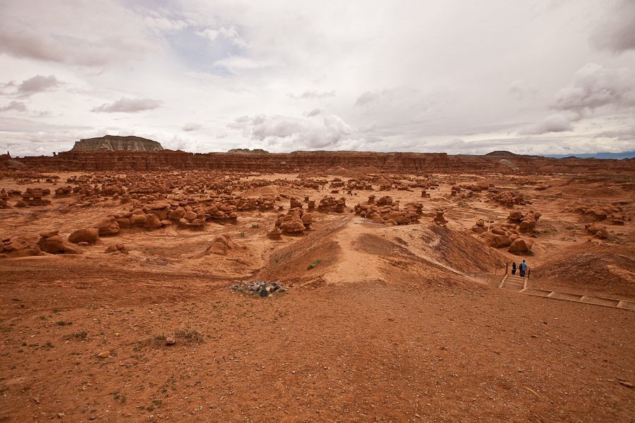
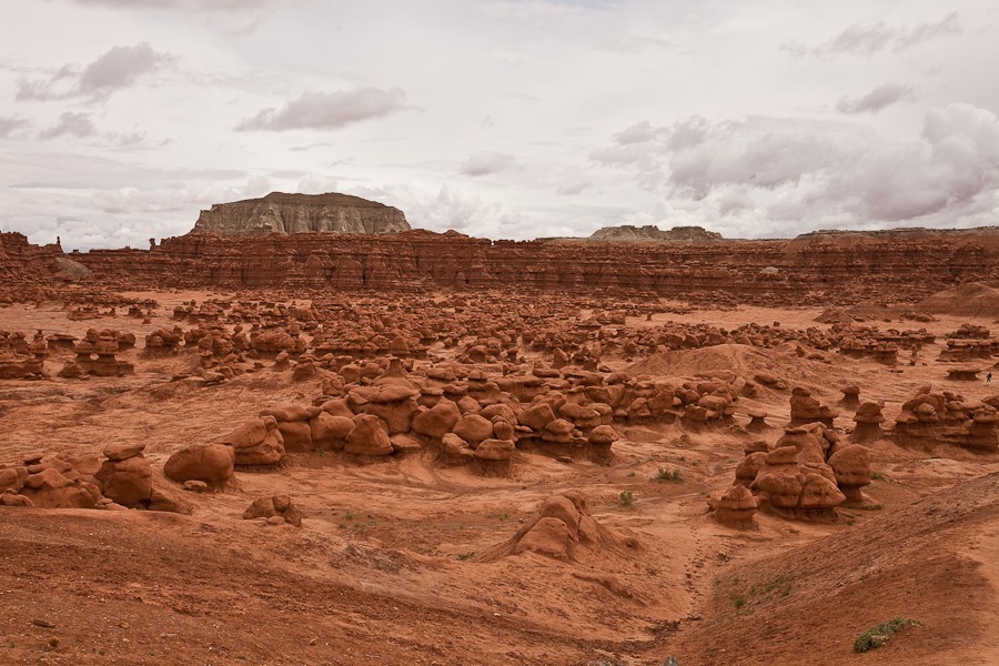
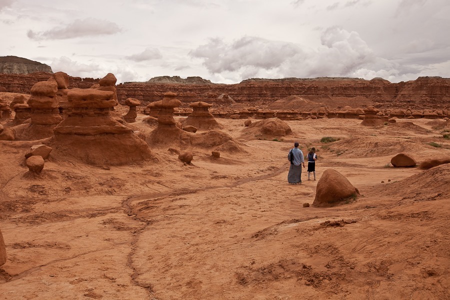
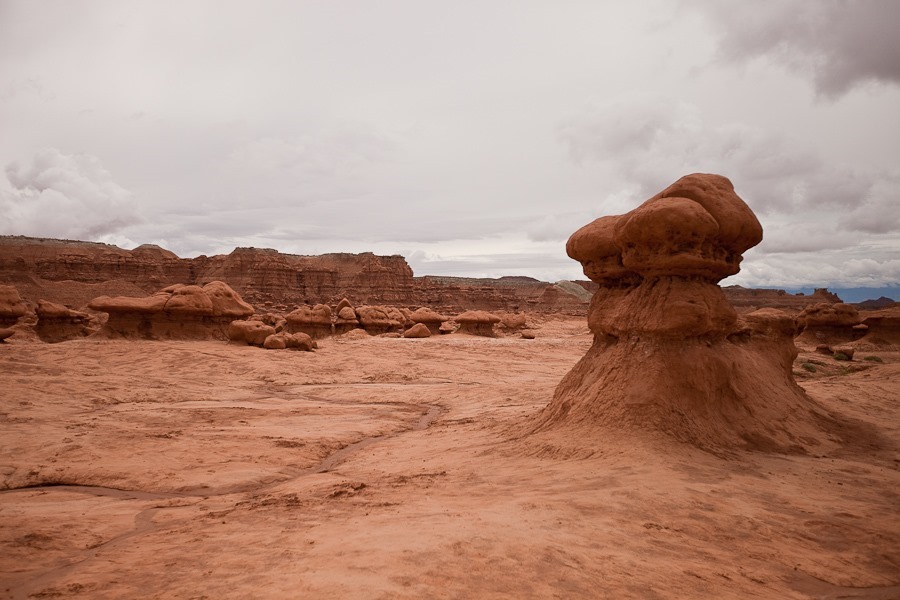
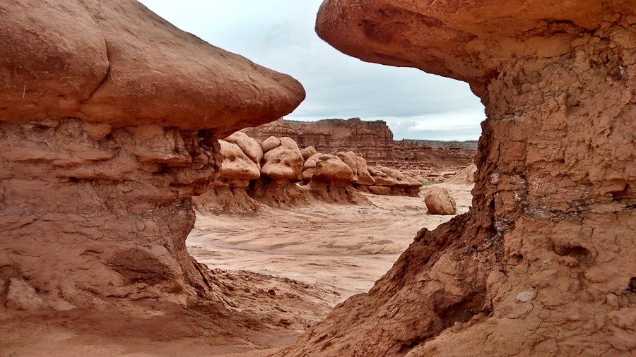
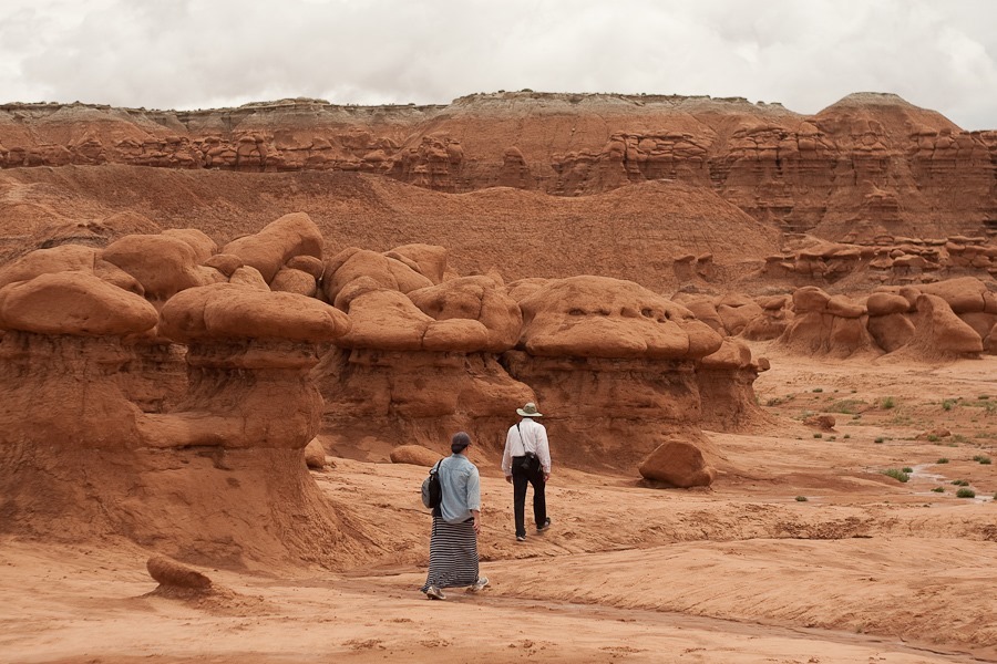
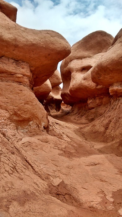
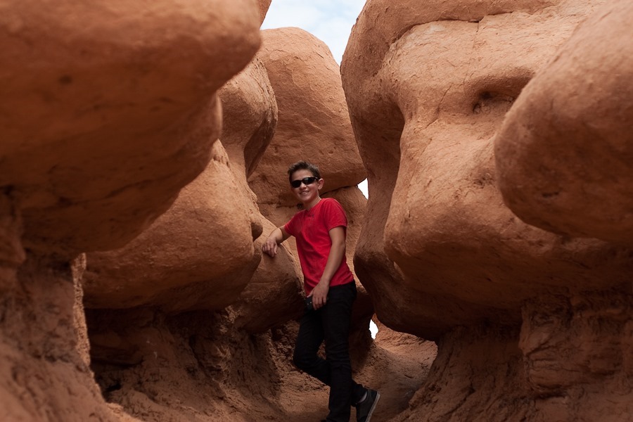
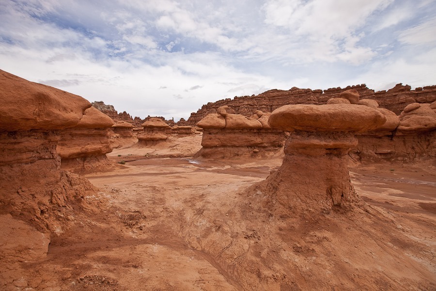
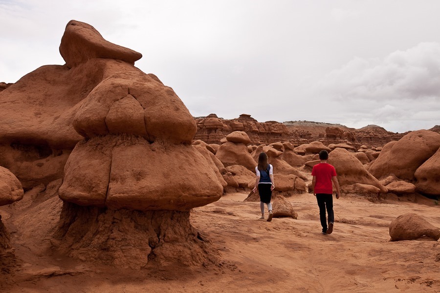
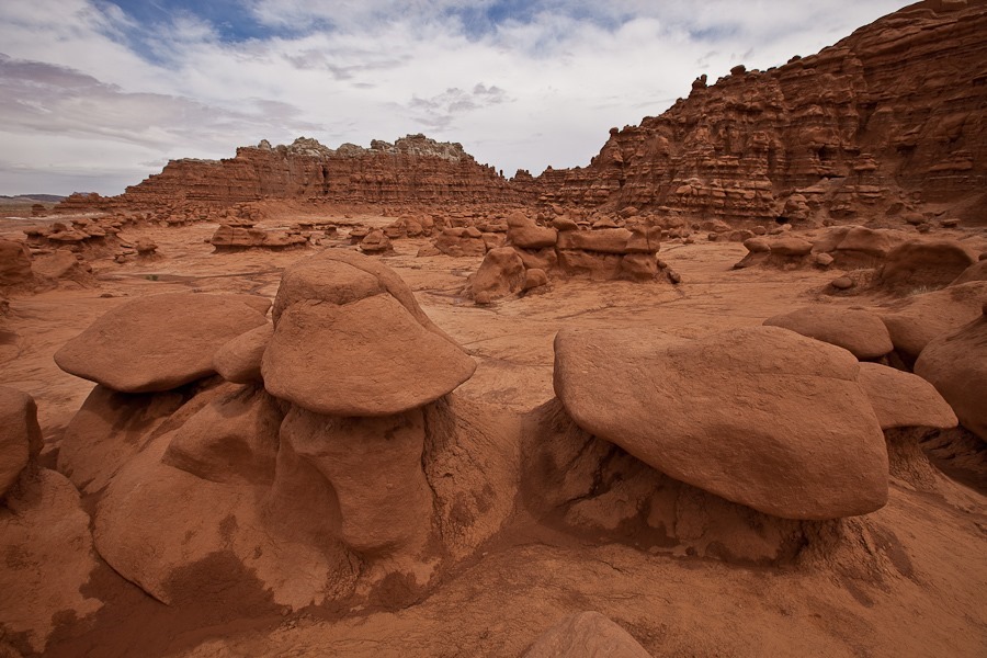
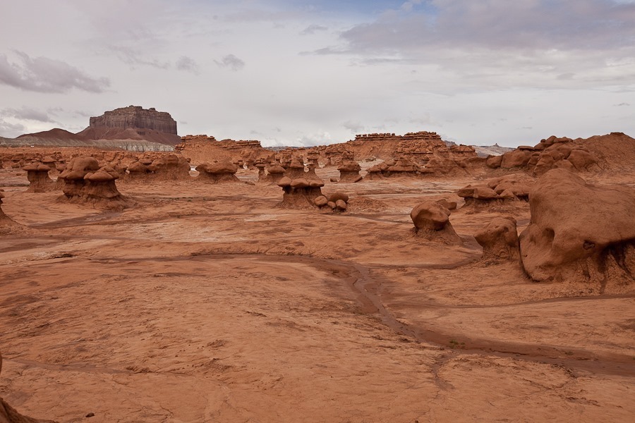
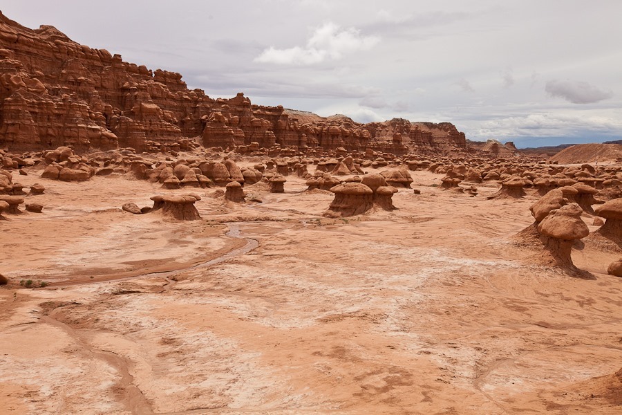
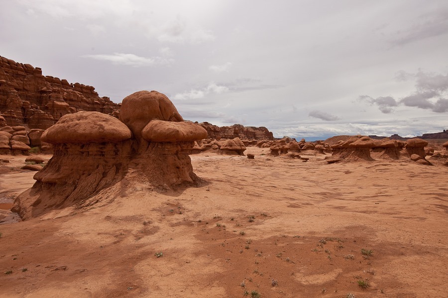
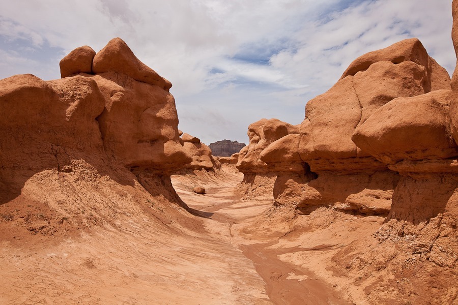
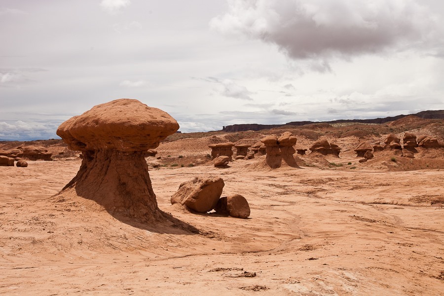
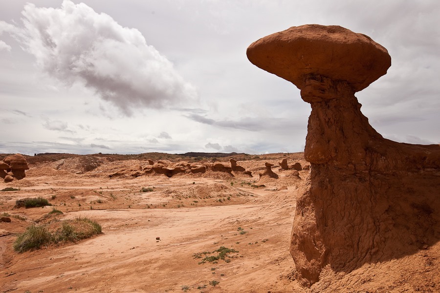
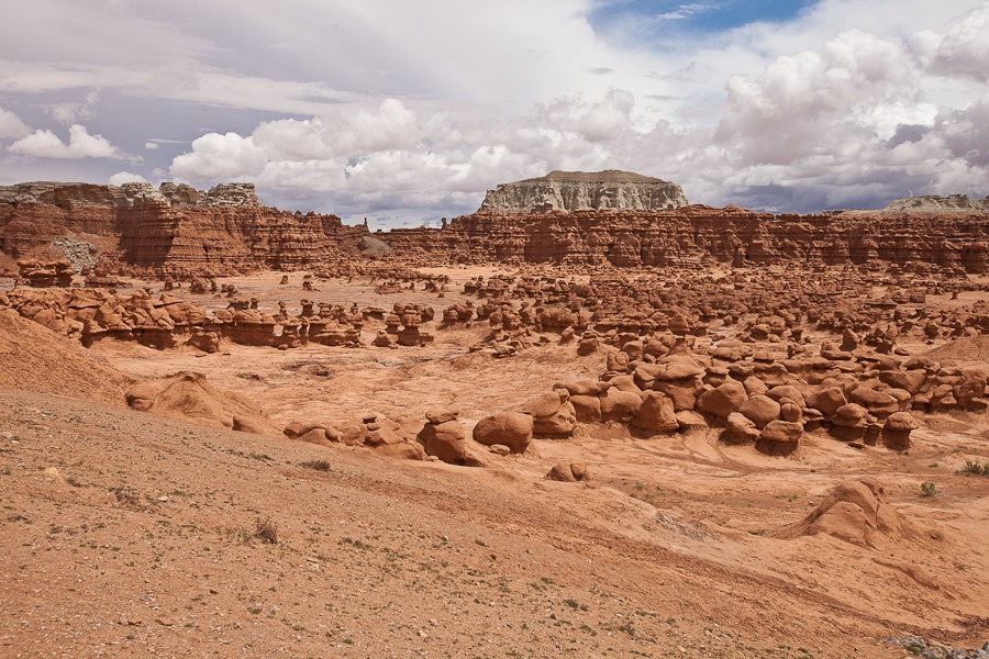
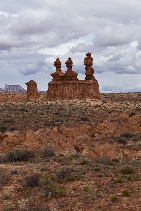
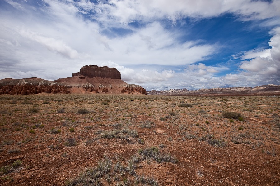
We drove into Goblin Valley State Park.  The park is known for its interesting hoodoos, which are called goblins here:

Day636_07

Day636_08

Day636_09

Day636_10

Day636_11

Day636_12

Day636_13

Day636_14

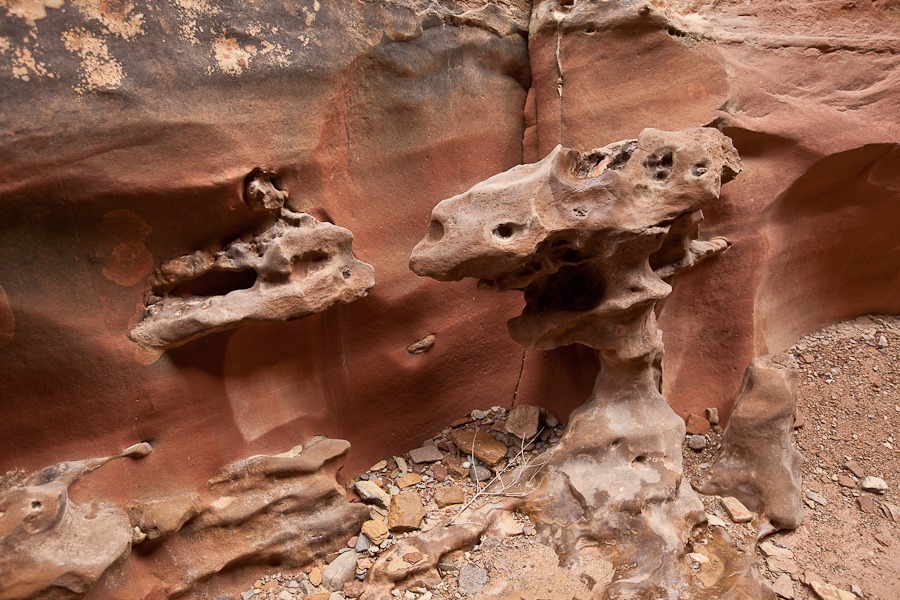
This area is composed of alternating layers of sandstone and siltstone.  The toadstool shape occurs because the softer siltstone of the “stem” erodes more quickly than he harder cap of sandstone:

Day636_15

Day636_16

Day636_17

Day636_18

Day636_20

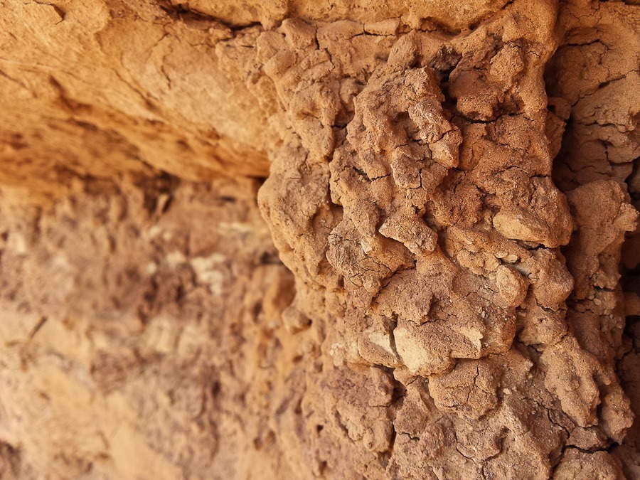
The siltstone is very soft:

Day636_21

Day636_22

Day636_23

Day636_24

Day636_25

Day636_26

Day636_27

Day636_28

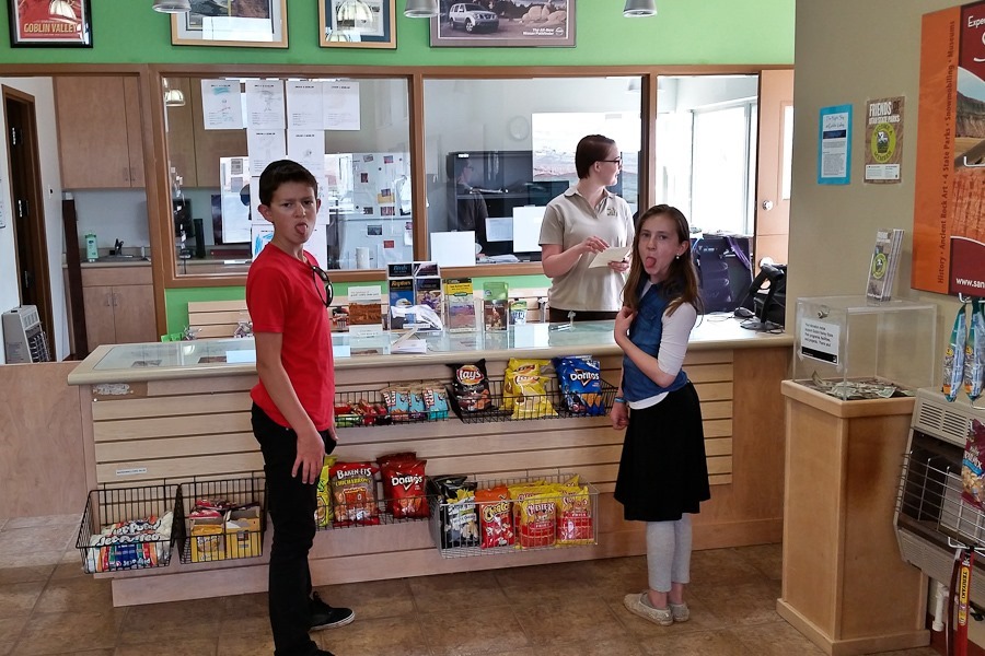
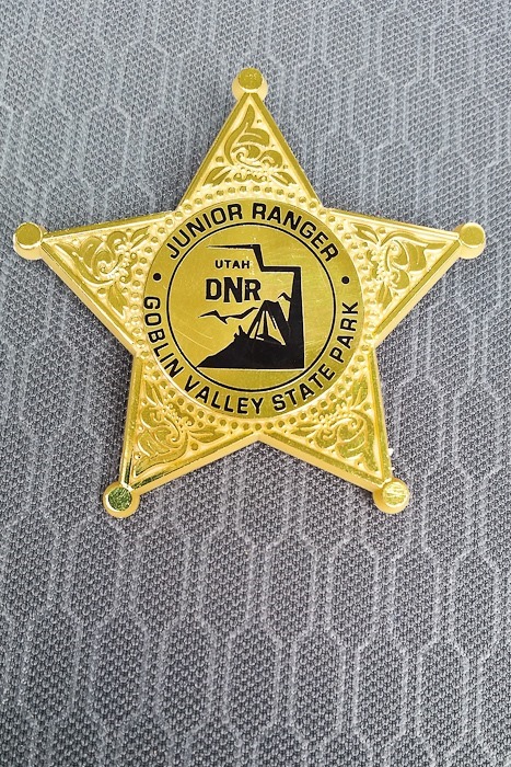
The kids received their junior ranger badges:

Day636_29

Day636_30

Not a bad view from the parking lot:

Day636_31

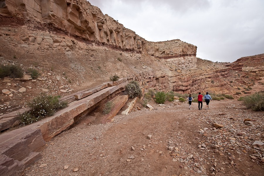
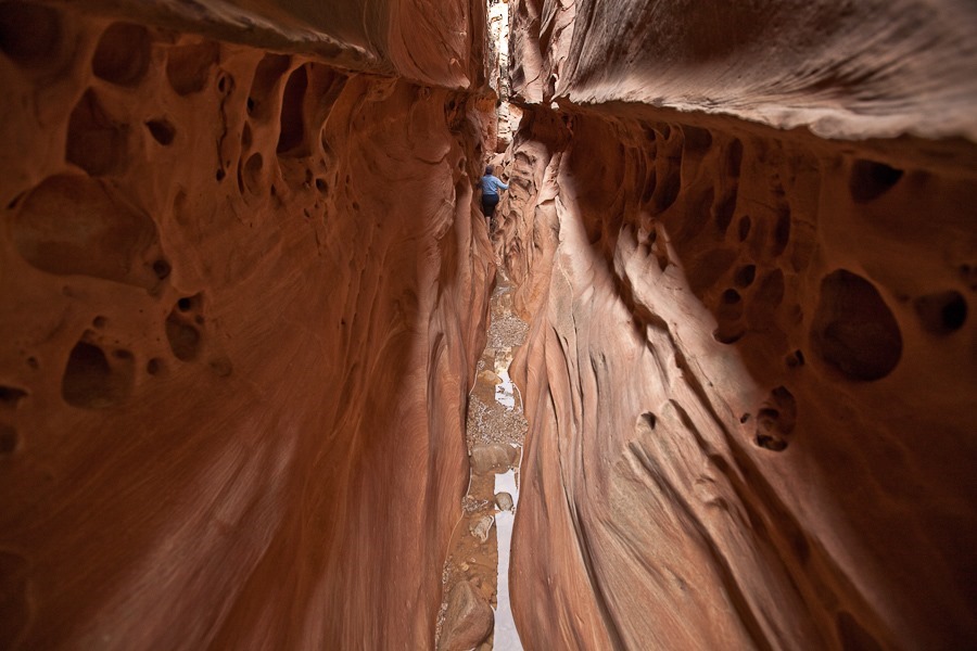
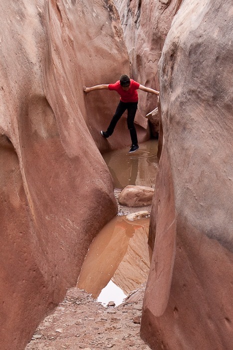
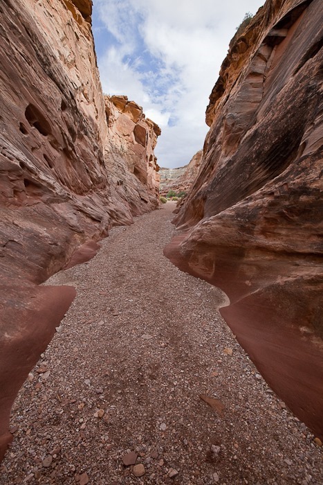
We unhitched and drove a few miles west to the trailhead for Little Wild Horse Canyon and Bell Canyon.  The canyon starts out normally enough:
Day636_32

Day636_33

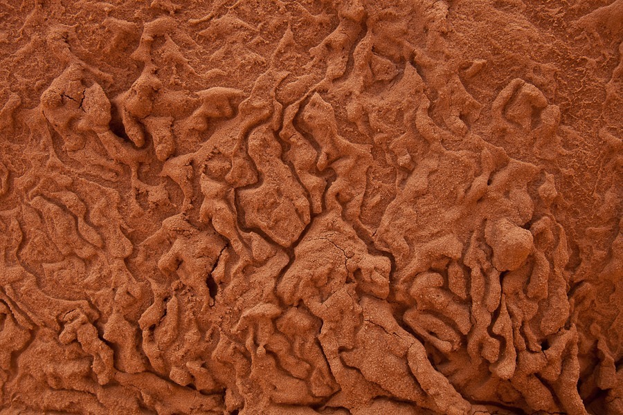
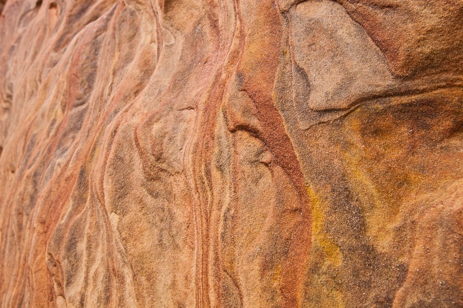
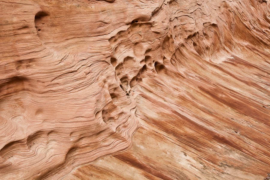
Interesting textures:

Day636_34

Day636_35

Day636_36

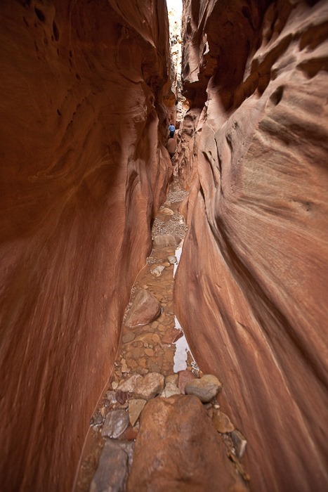
At the fork in the canyon, we decided to go up Little Wild Horse Canyon first:

Day636_37

Day636_38

Day636_40

Day636_41

Day636_42

Day636_43

Day636_44

Day636_45

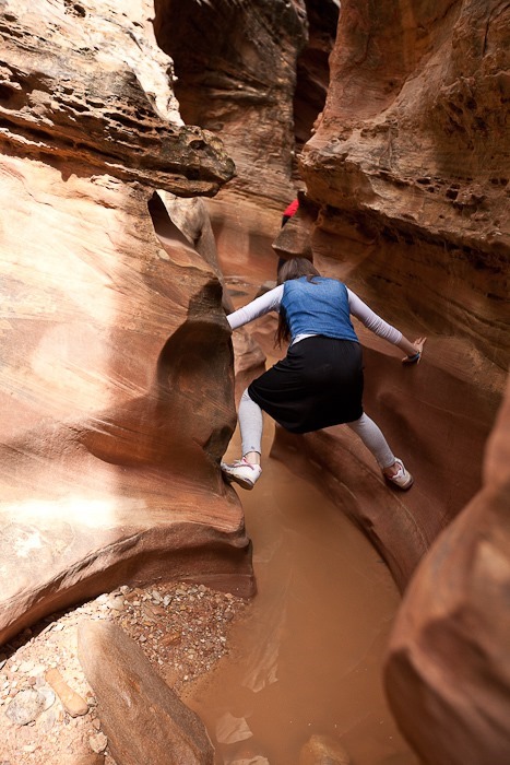
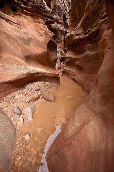
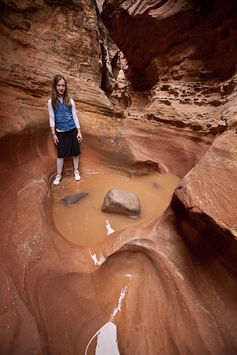
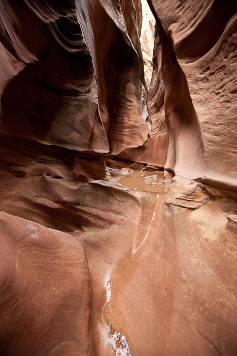
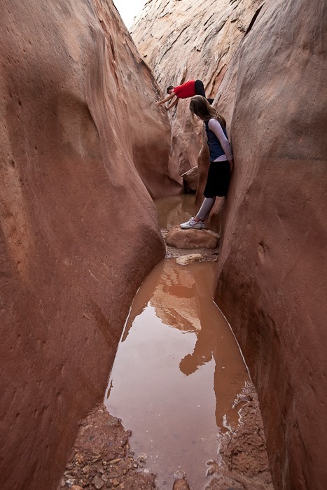
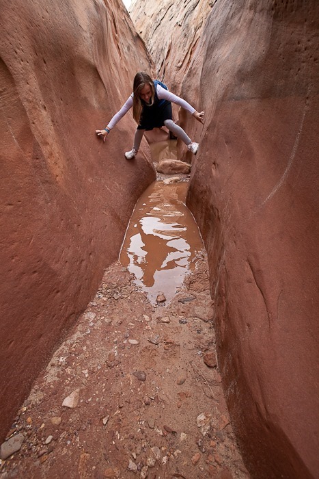
Eventually the canyon became water filled, so we had to climb the walls to avoid the water:

Day636_46

Day636_47

Day636_48

Day636_49

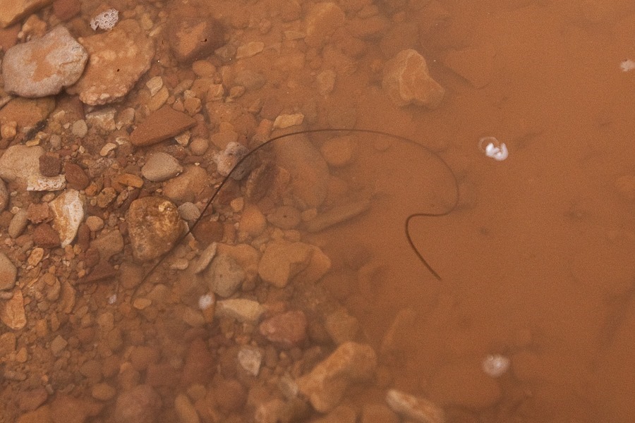
On the way down we spotted a wriggling Horsehair Worm.  In its larval stage, it gets eaten by a host animal like a cricket, then burrows out of the host’s stomach into the animal’s organ cavity and grows into a worm several inches long.  When ready to emerge from the host, it emits neurotransmitters that convince the host to jump into water (and usually drown) so that the worm can emerge into the water and swim away:

Day636_50

Here a harder layer of sandstone emerges from the canyon wall:

Day636_51

Day636_52

Day636_53

We hiked back down to the fork and hiked up Bell Canyon.  We pretty soon ran into deep pools:
Day636_54

Day636_55

M got into trouble here as the walls were almost too wide for him to wedge himself between the walls.  He narrowly escaped getting really wet:
Day636_56

Heading out:

Day636_57

Day636_58

Day636_59

Day636_60

Day636_61

We left Goblin Valley State Park, driving north, east, and south back to Hanksville, where we used the grocery store’s WiFi:

Day636_62

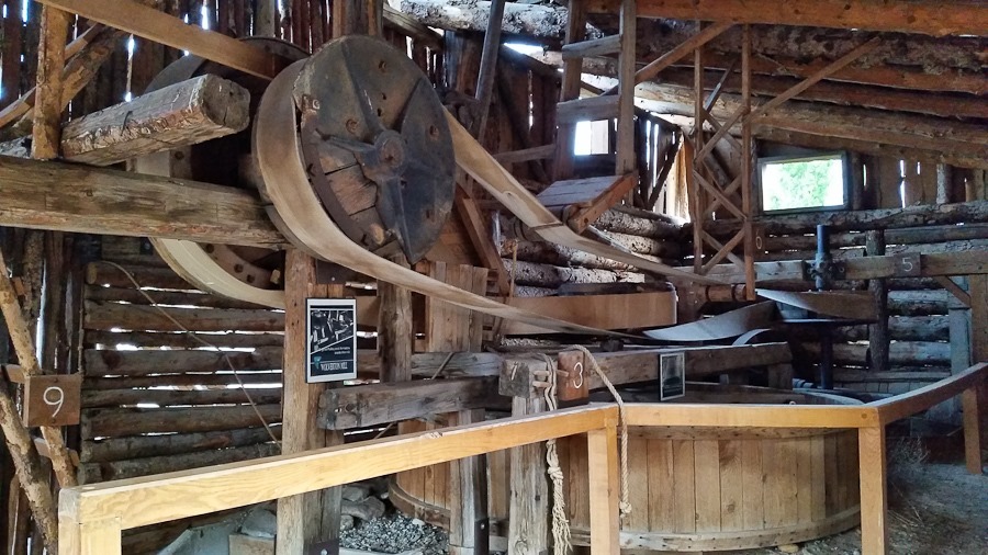
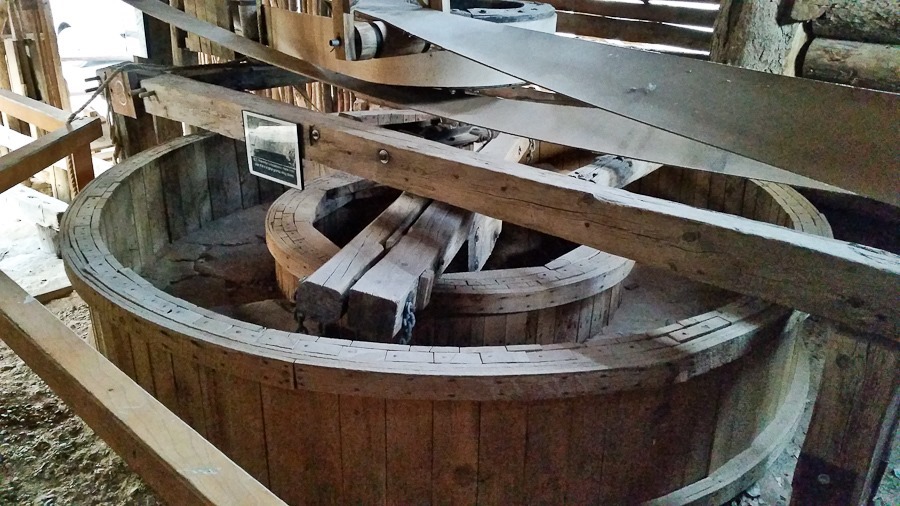
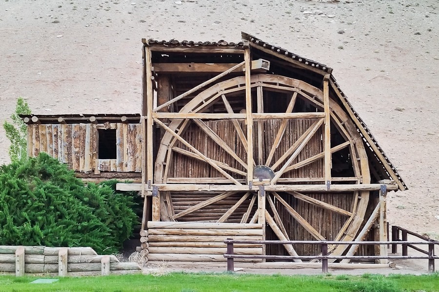
We visited the Wolverton Mill in Hanksville.  The mill is unique in that the waterwheel drives a gold ore crusher, an arrastra, and a saw for milling wood, all via a complex array of belts:

Day636_63

The arrastra:

Day636_64

Day636_65

Today we overnighted at a gas station on the east side of town.  See the trip map for today’s drive and our current location.