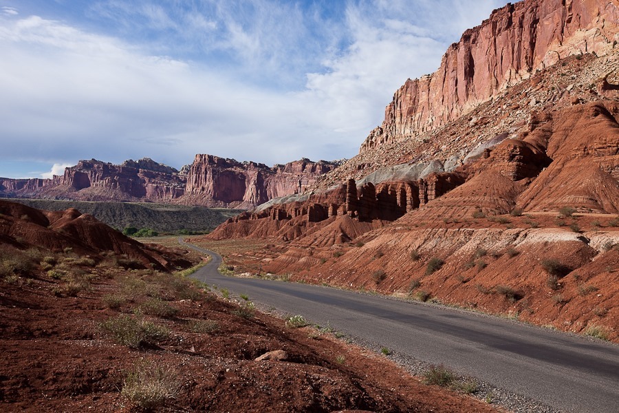
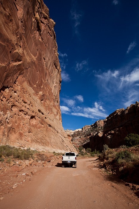
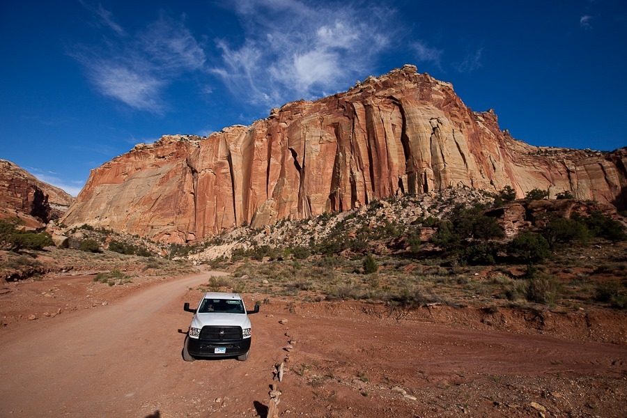
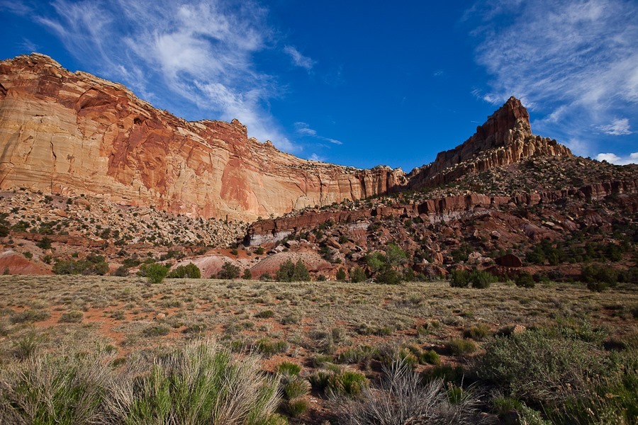
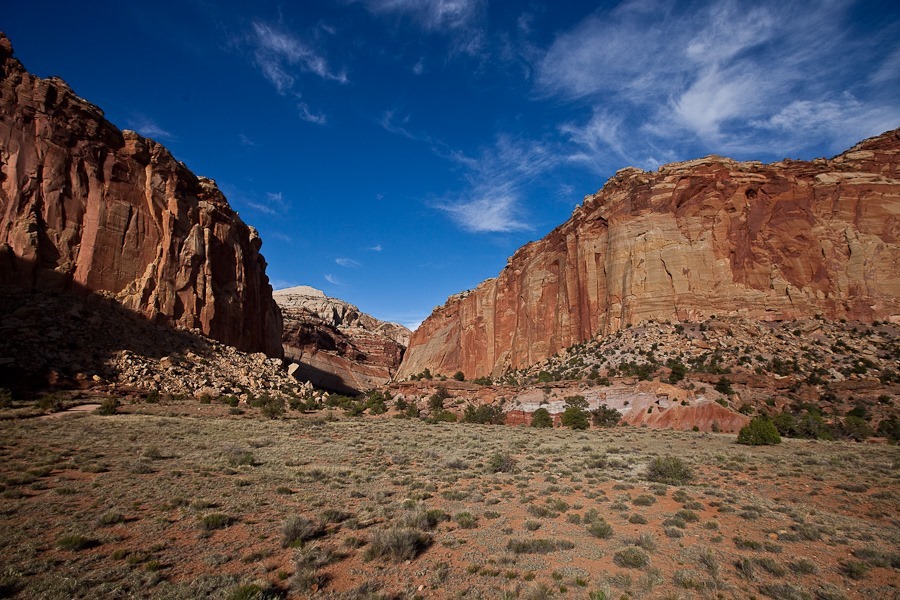
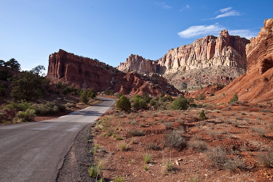
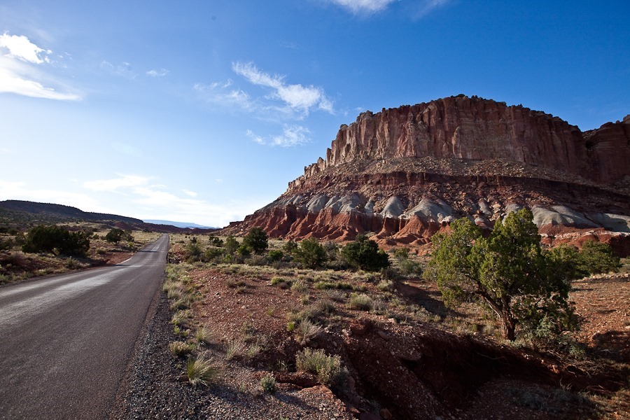
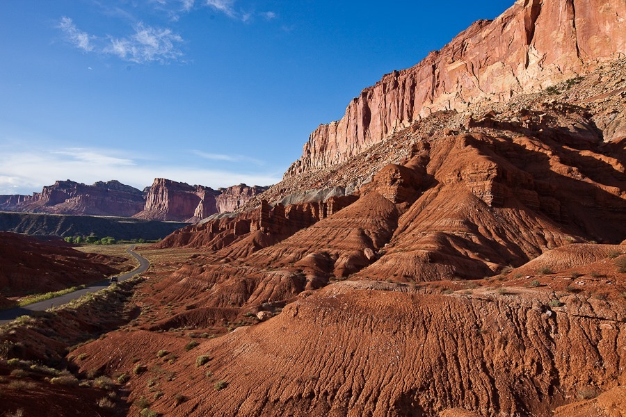
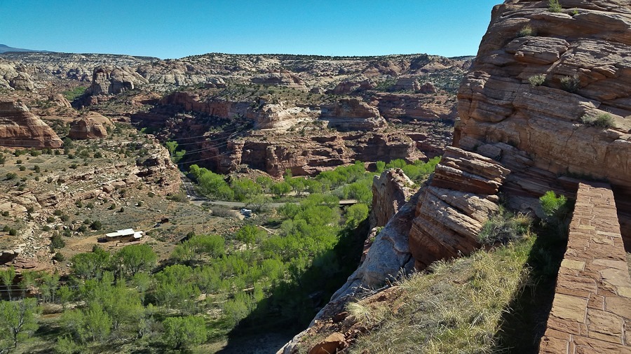
Day 635: Capitol Reef National Park, Day 2

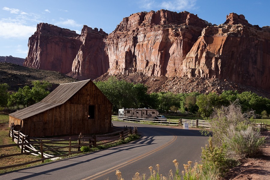
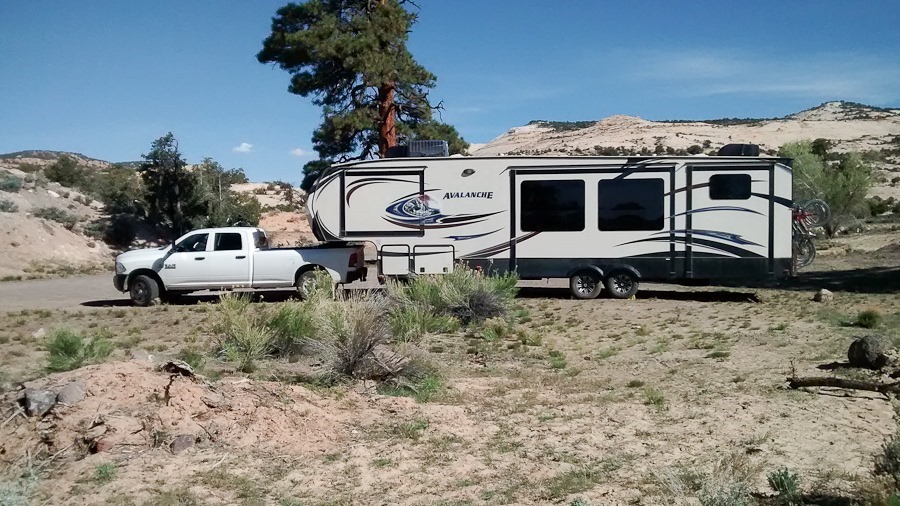
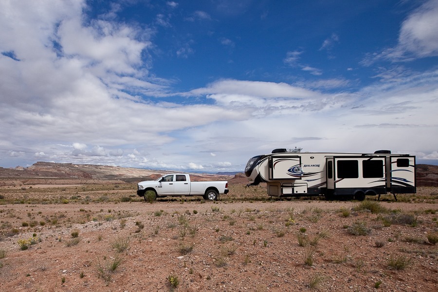
Another great dispersed camping site, this time just outside of Capitol Reef National Park:
Day635_01

B took a moment to clean her bathroom sink this morning:
Day635_02

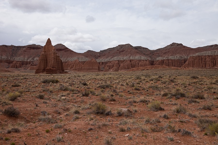
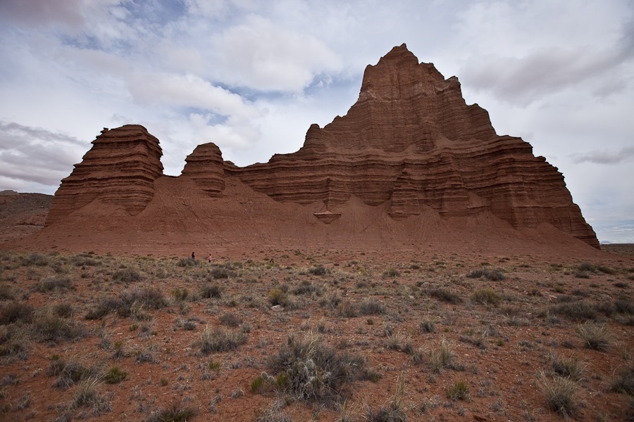
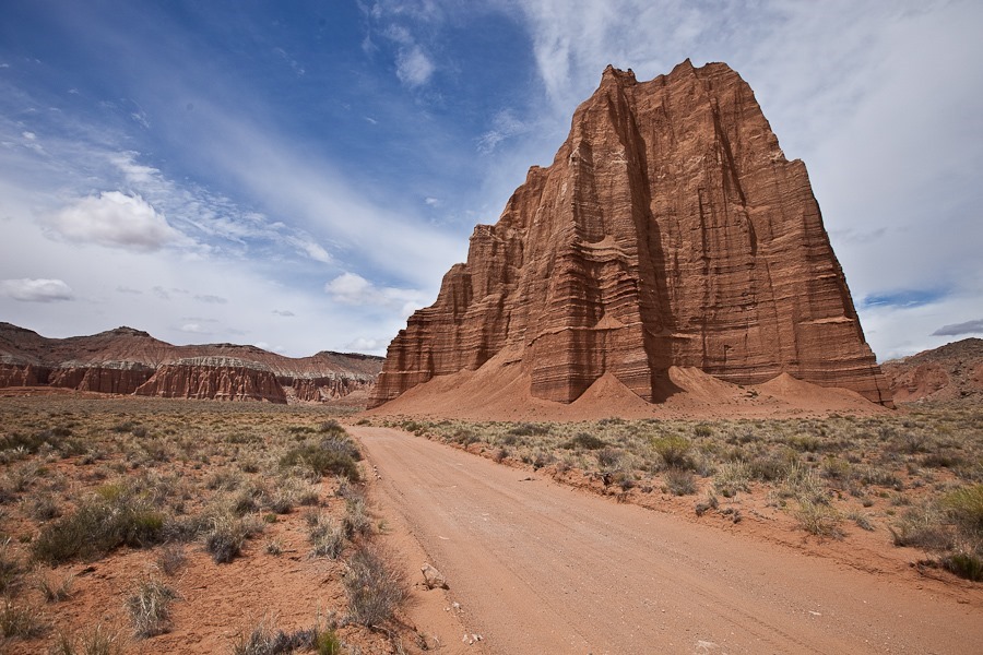
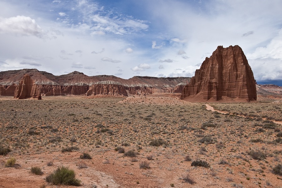
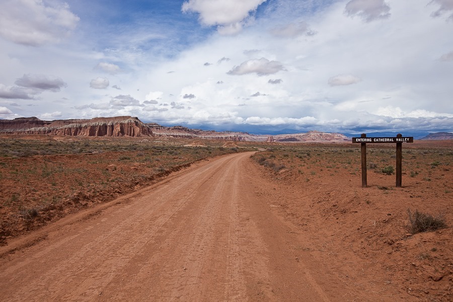
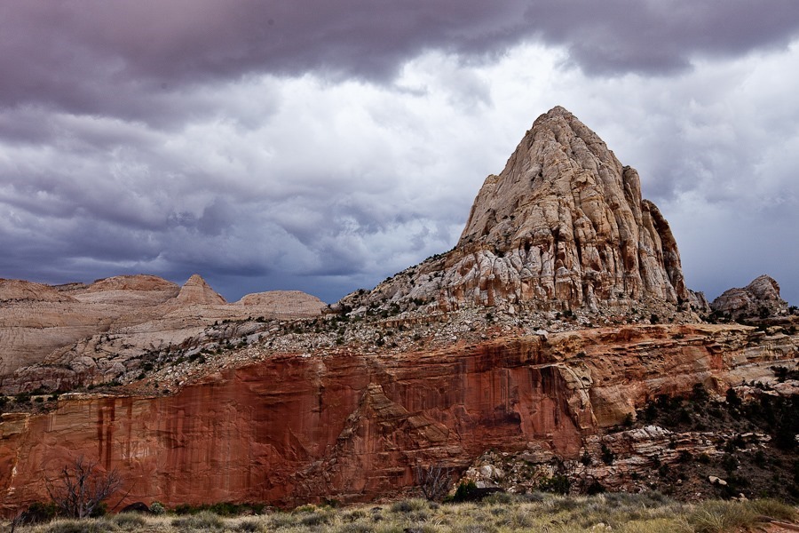
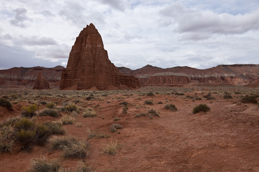
We drove north on a BLM road for about 20 miles to reach Cathedral Valley, the northernmost section of Capitol Gorge National Park.  The Valley contains the Temple of the Sun (TotS) monolith, as well as the smaller Temple of the Moon (TotM) monolith, seen here to the left of TotS:
Day635_03

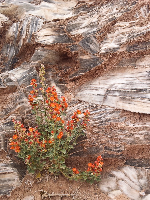
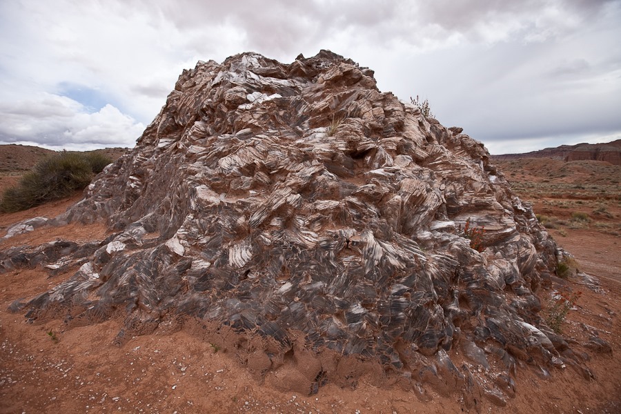
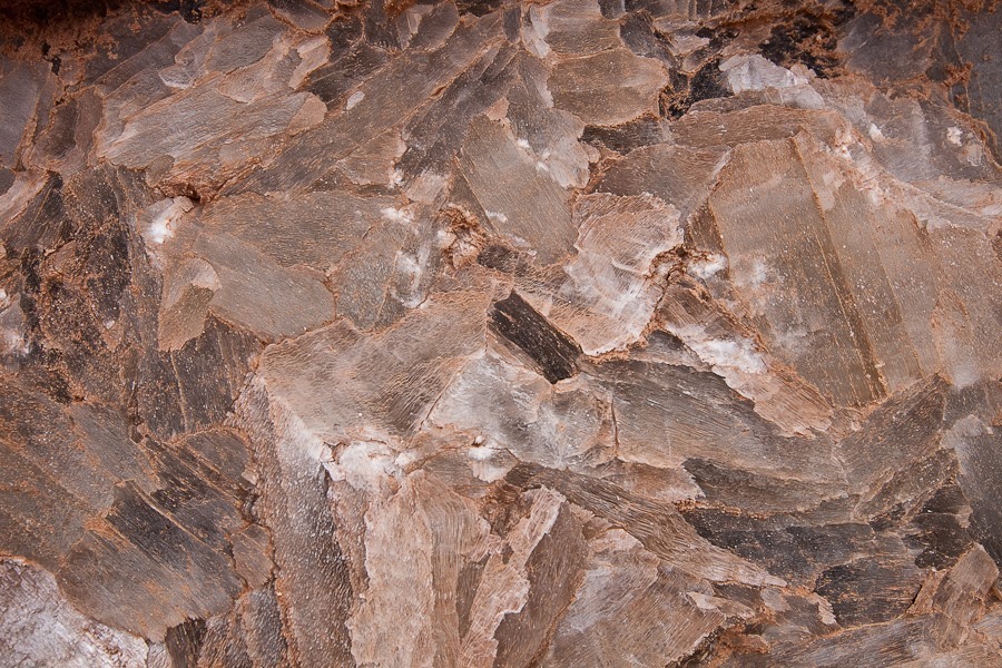
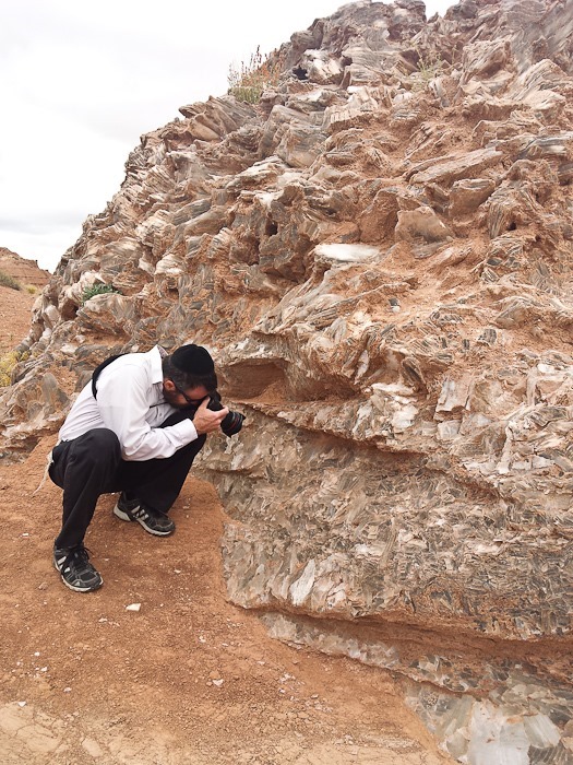
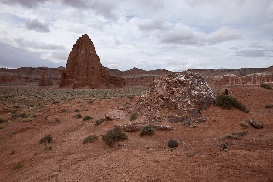
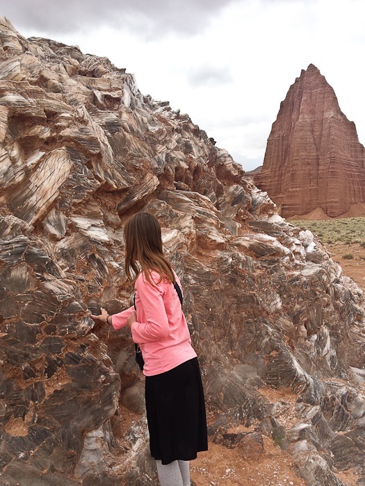
Our first stop was Glass Mountain, a selenite plug exposed by the weathering of surrounding softer material:
Day635_04

Day635_05

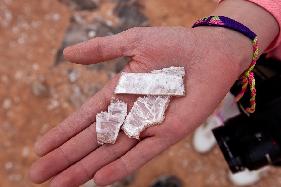
Selenite is soft and can be peeled into thin sheets:
Day635_06

Day635_07

Day635_08

Day635_09Day635_10

TotM in the distance:

Day635_11

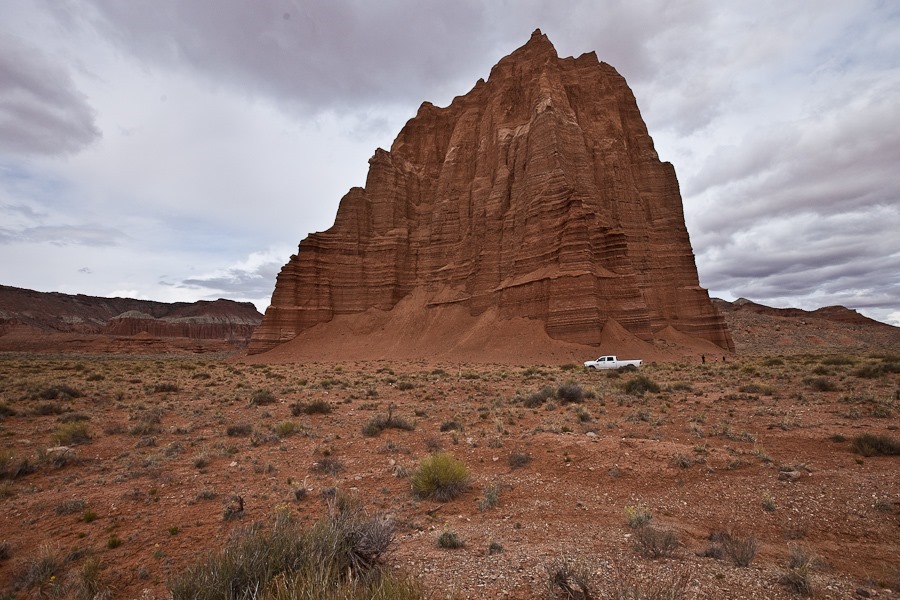
We parked next to TotS and walked around it:
Day635_12

Day635_13

The back side of TotS:

Day635_14

Next we drove over to TotM and hiked around it as well:
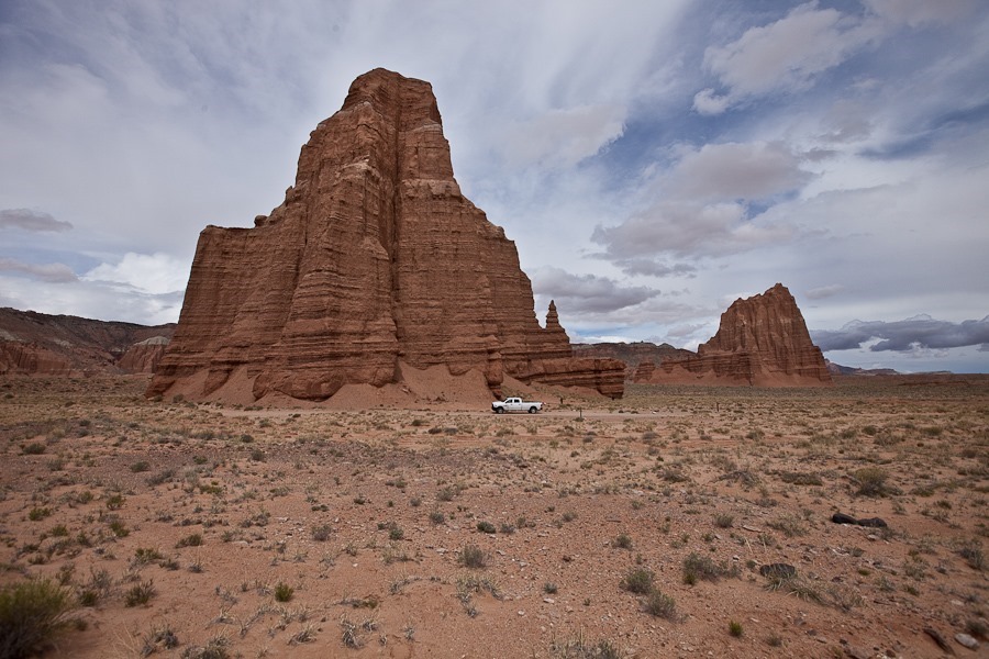
Day635_16

Leaving TotS behind:

Day635_17

Day635_18

Day635_19

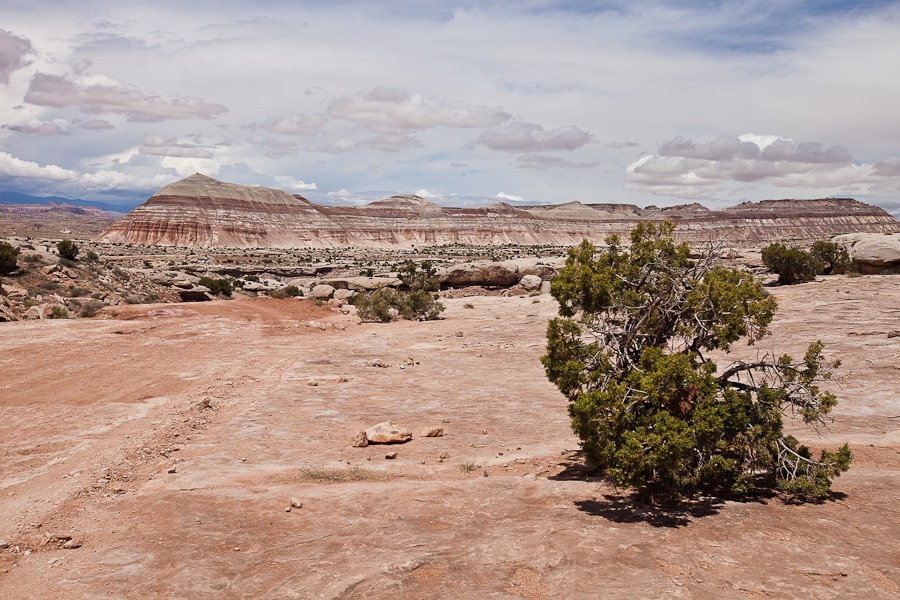
On the way back we passed these painted hills:
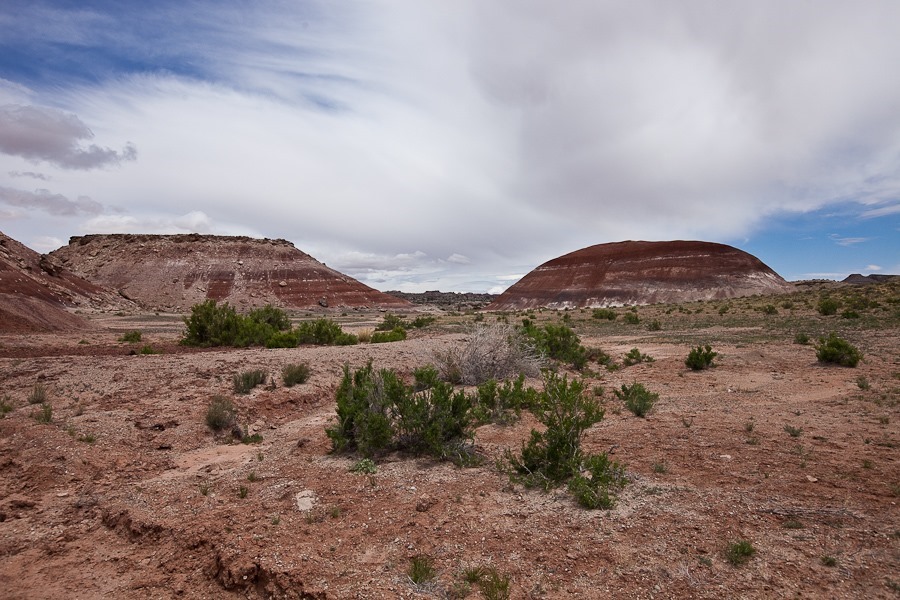
Day635_20

This outcropping is called Queen of the Wash:
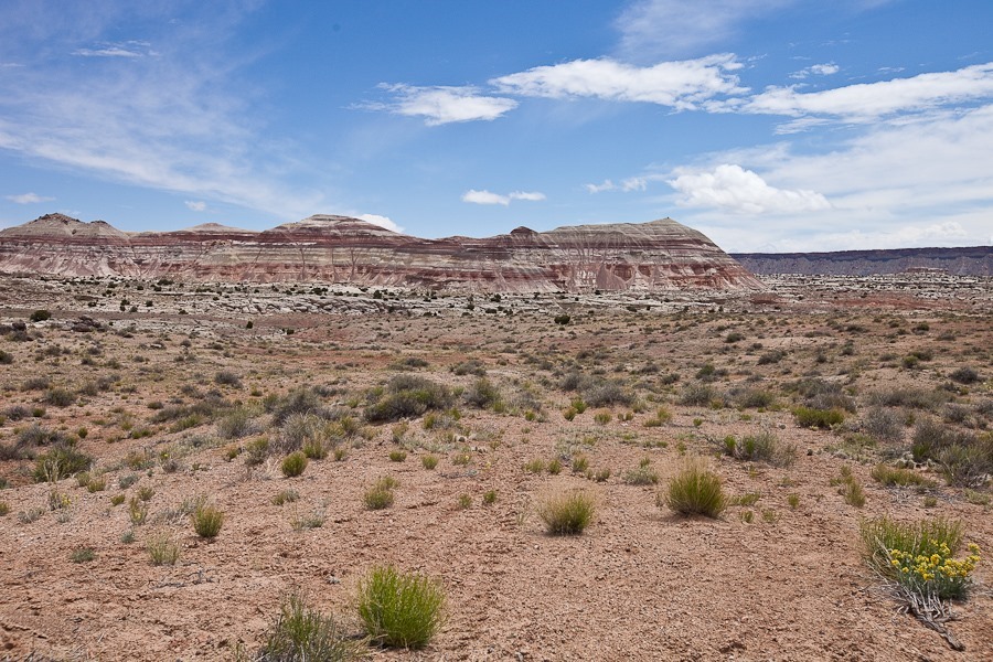
Day635_21

Day635_22

Back near the main road, the Waterpocket Fold can be seen here coming right into the photo:
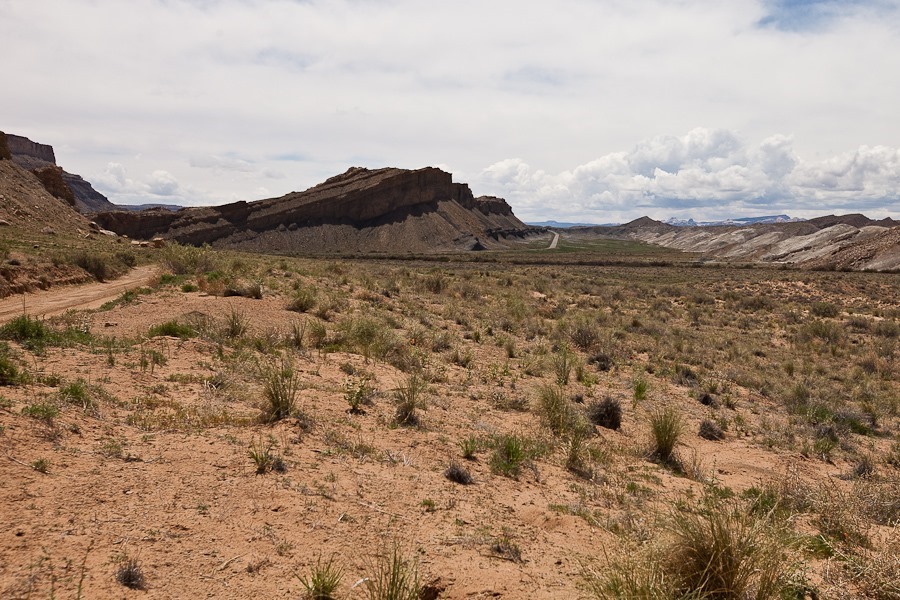
Day635_23

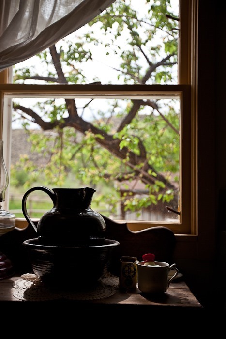
We stopped at the RV for lunch, then drove back into the park.  We stopped to peek into a preserved Mormon settler’s cabin:
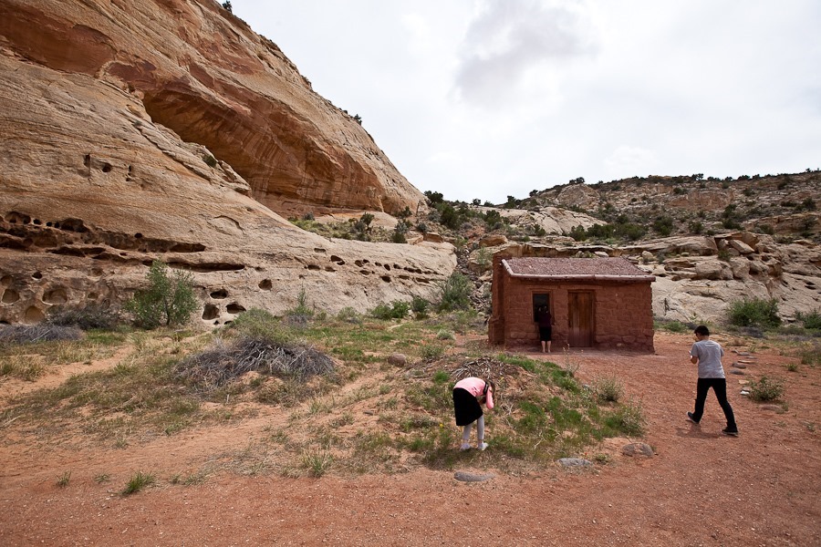
Day635_24

We also saw the one room school, which was in operation until the late 1940s:
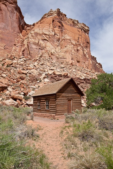
Day635_26

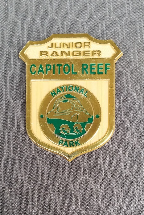
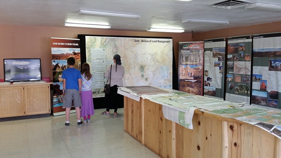
At the visitor center, the kids received their Junior Ranger badges:
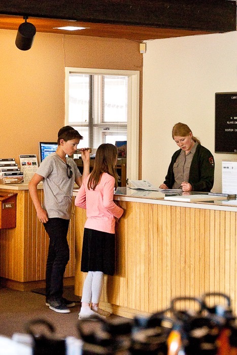
Day635_27

Day635_28

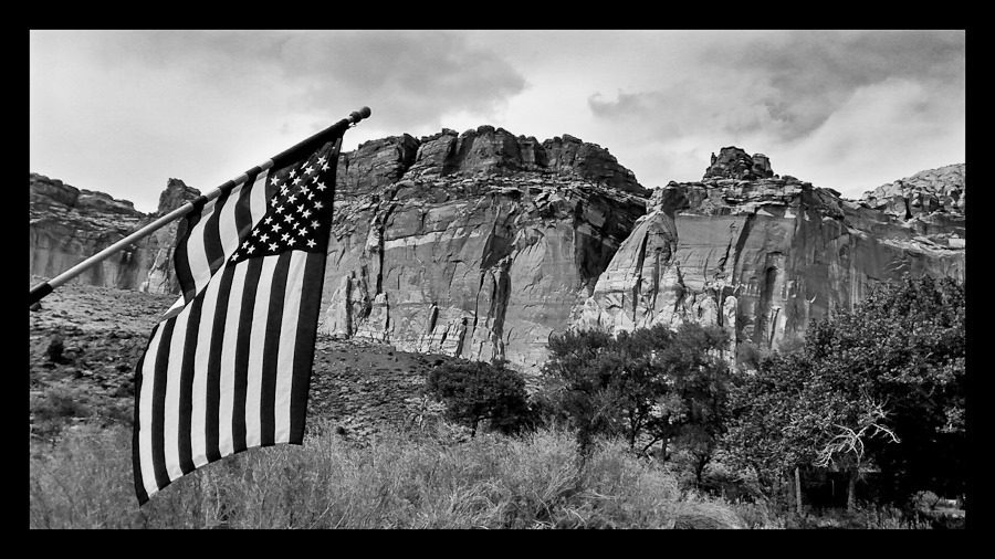
M captured this photograph near the visitor center:
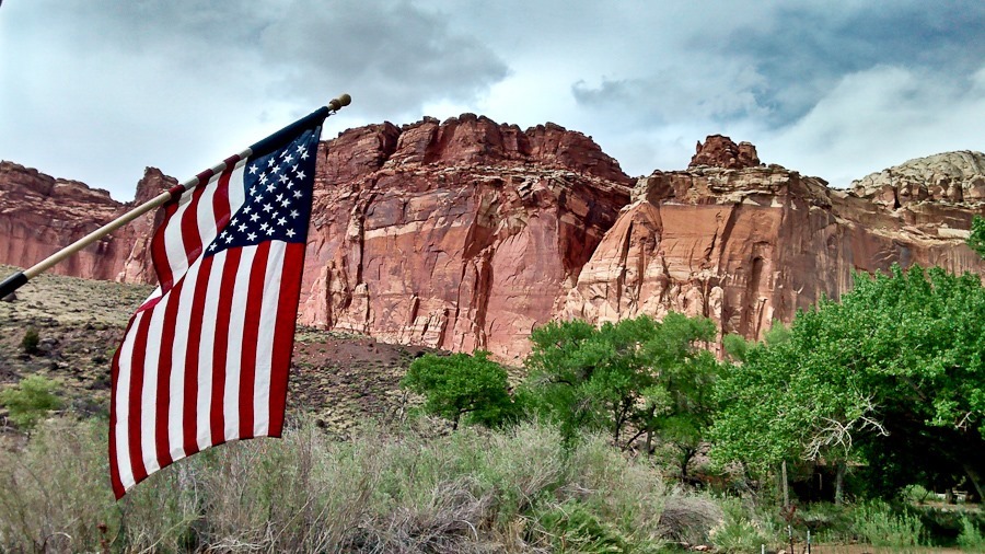
Day635_29

Day635_30

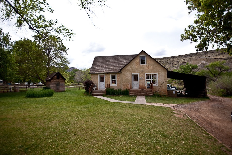
We visited the Gifford House in the Fruita complex, now operated as a museum and gift shop:
Day635_31

Day635_32

Day635_33

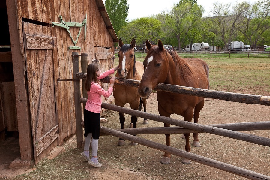
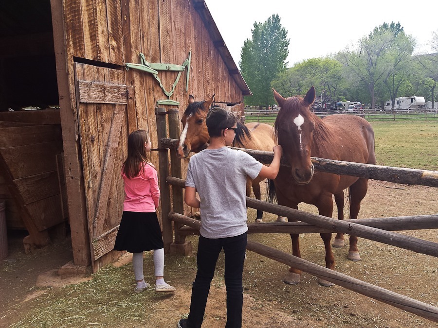
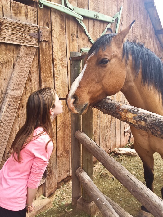
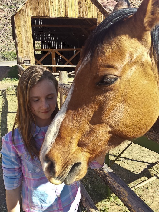
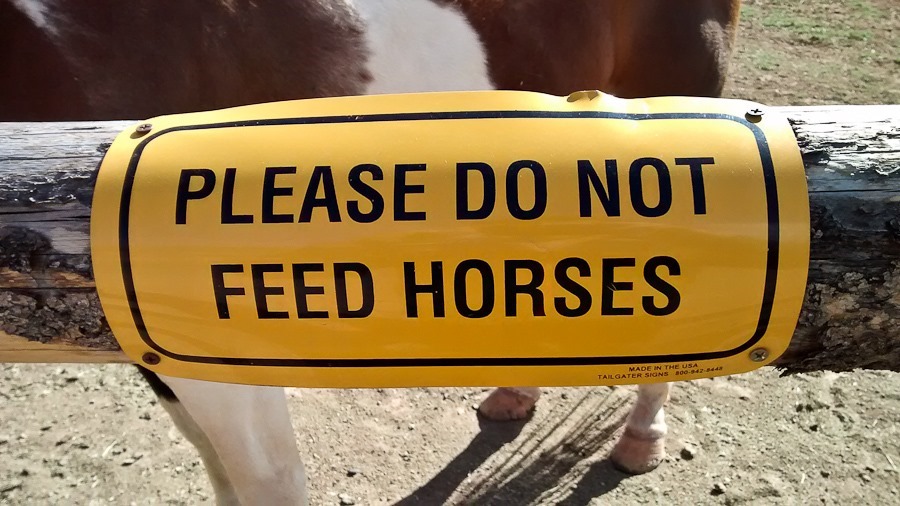
We visited the horses again:

Day635_34

Day635_35

Day635_36

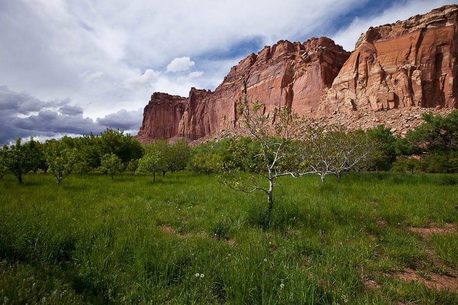
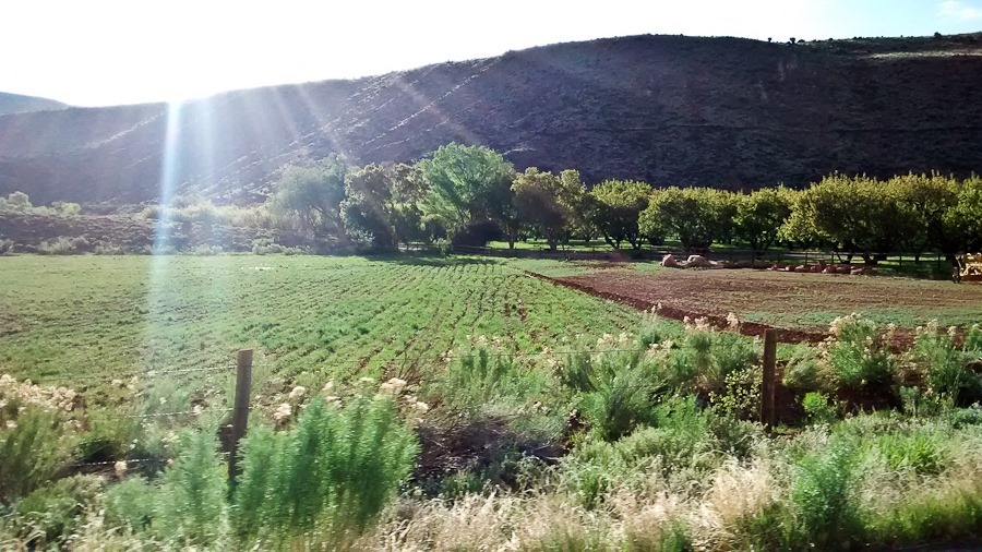
The orchards of Fruita:

Day635_37

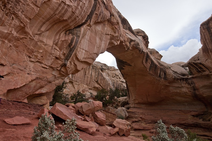
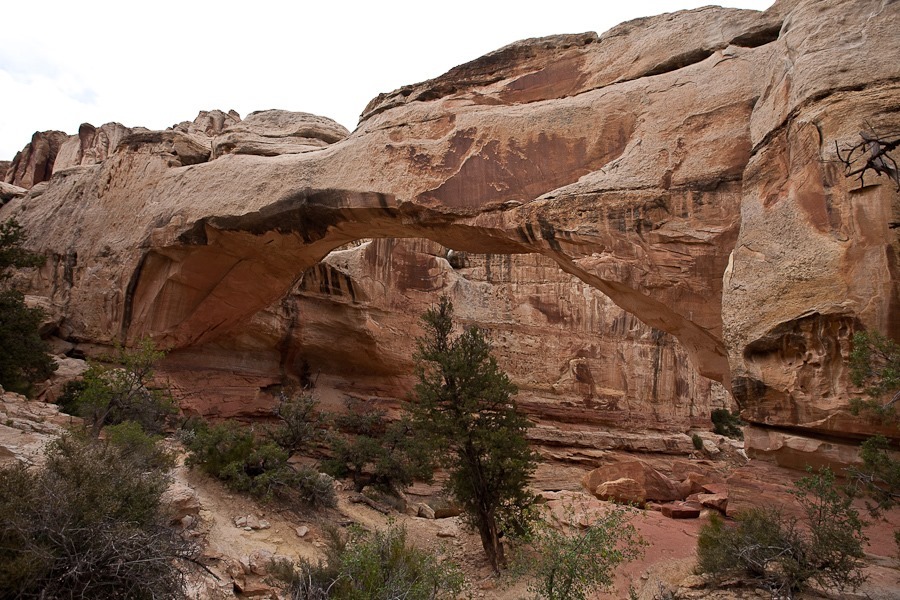
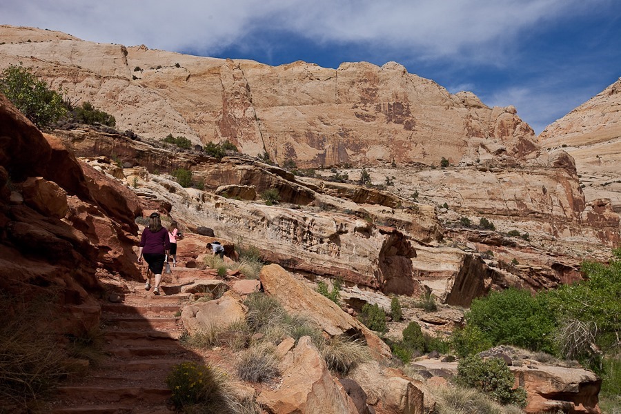
On our way out of the park, we stopped at the Hickman Bridge trailhead:
Day635_38

Day635_39

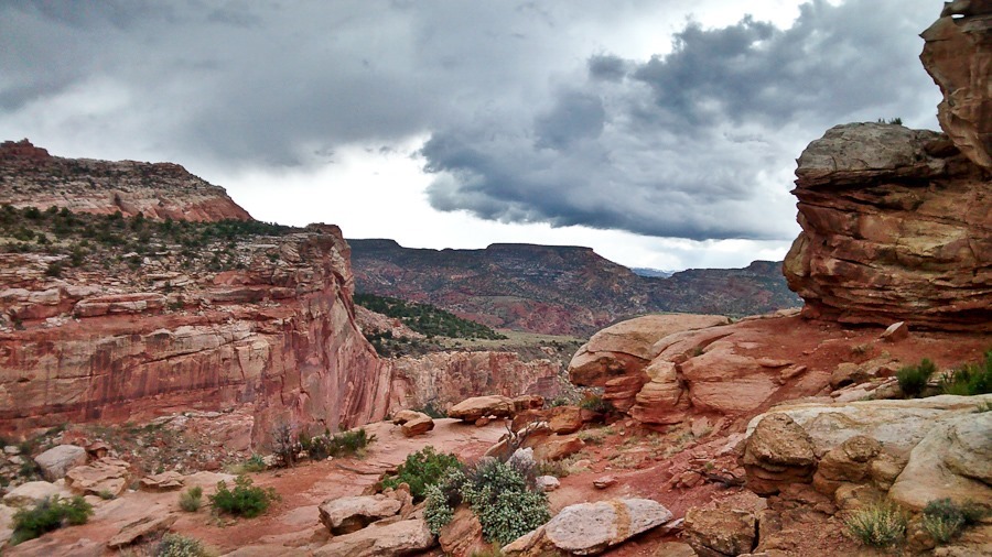
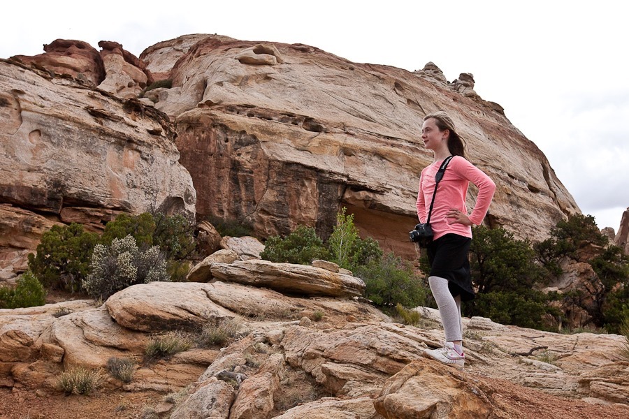
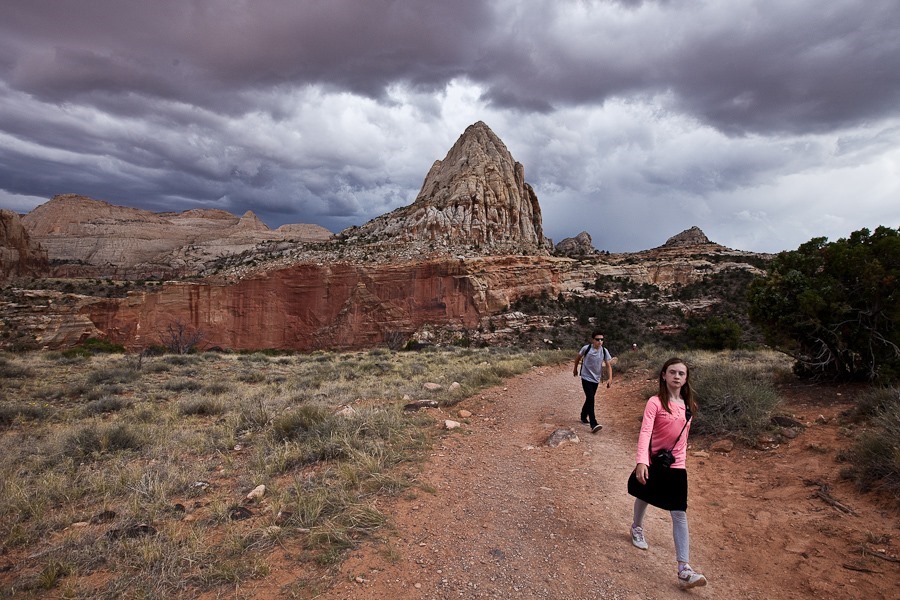
The weather made us nervous, but we kept going:
Day635_40

Day635_41

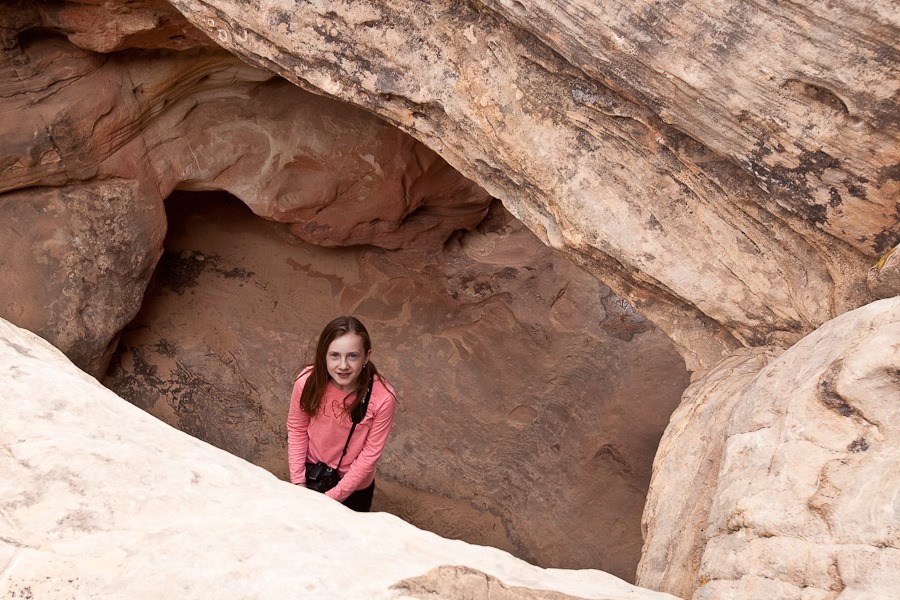
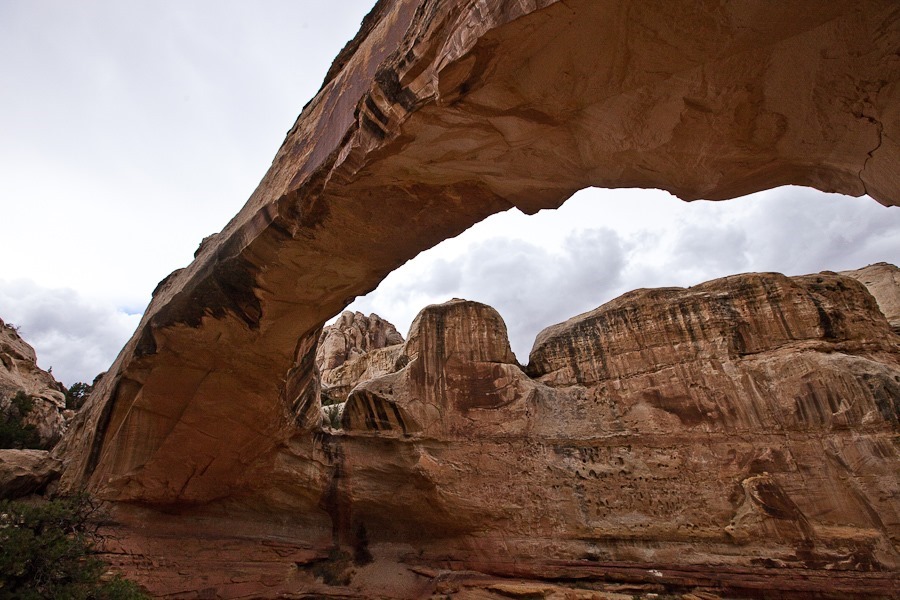
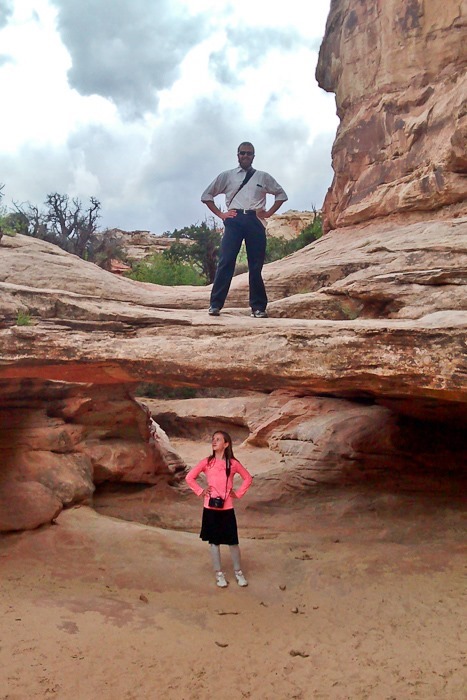
We found a set of small natural bridges in the creek bed:
Day635_43

Day635_44

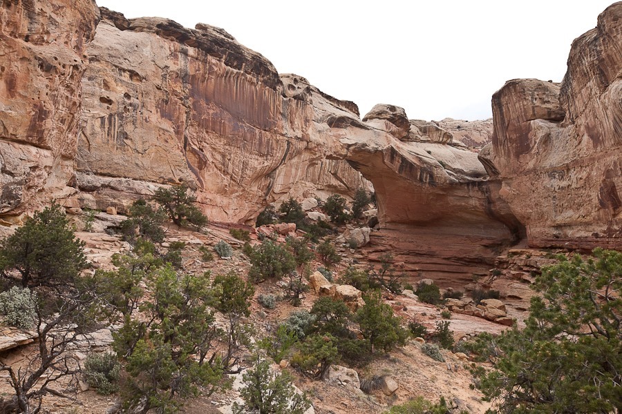
The bridge blends in with the stone behind it, but it’s there:
Day635_45

Day635_46

Day635_47

Day635_48

Day635_49

Day635_50

Day635_51

After the hike, we drove back to the RV and hitched up.  We drove east to Hanksville, stopping for groceries and WiFi.  We then drove north, west, and south to a dispersed camping location just outside Goblin Valley State Park.  See the trip map for today’s drive and our current location.
Day 634: Capitol Reef National Park, Day 1

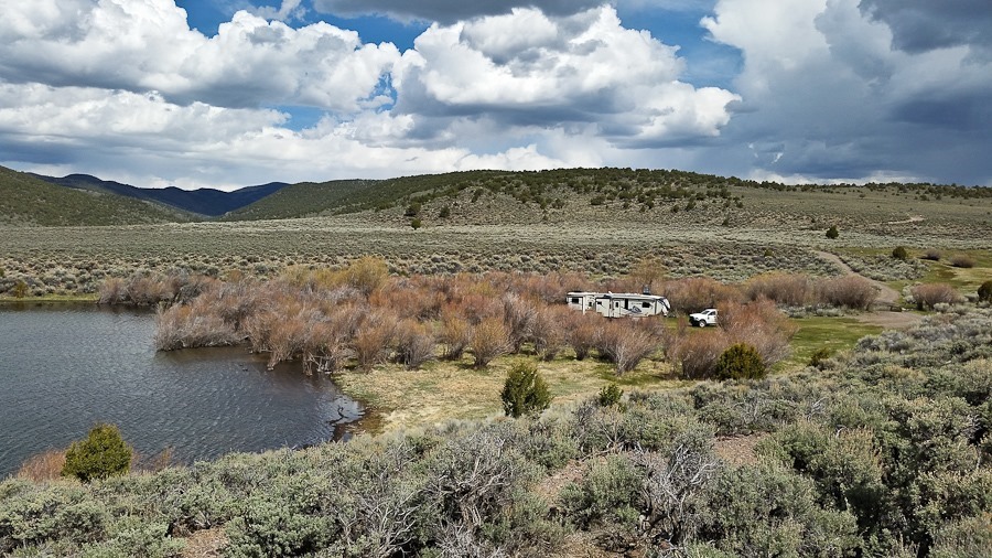
We had a nice Shabbos at Forsyth Reservoir.  We walked over to the other RV at the lake, a retired couple that lives a few miles away in the town of Fairview, but they come up for the weekend in their RV  a couple times a month to get away from the phone.

After a chilly night, we awoke to another beautiful day:

Day634_01

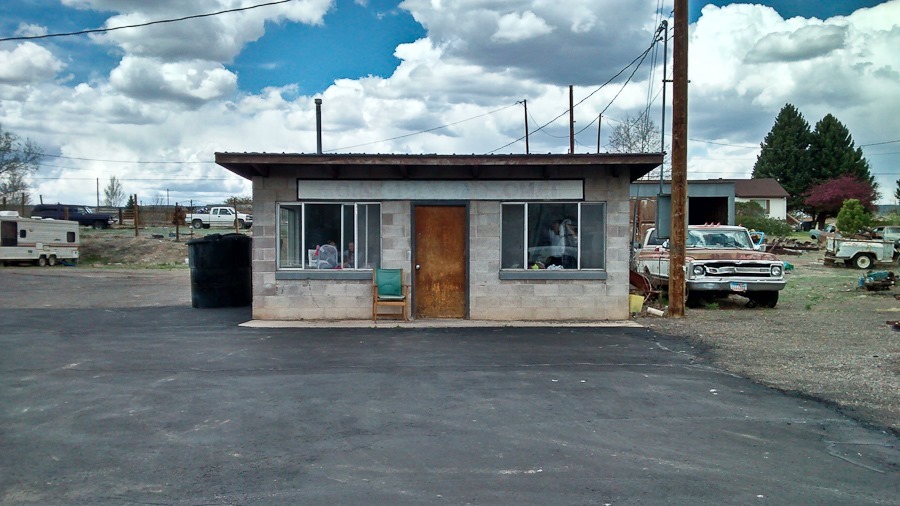
We drove back to Loa to use the Laundromat:

Day634_02

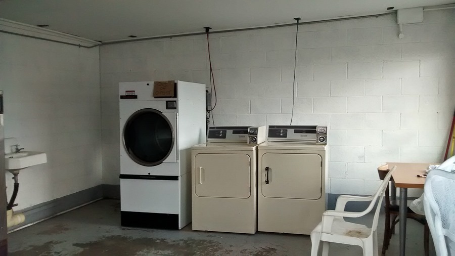
They had three washers and three dryers, one of which only worked intermittently, so we only did half our laundry:

Day634_03

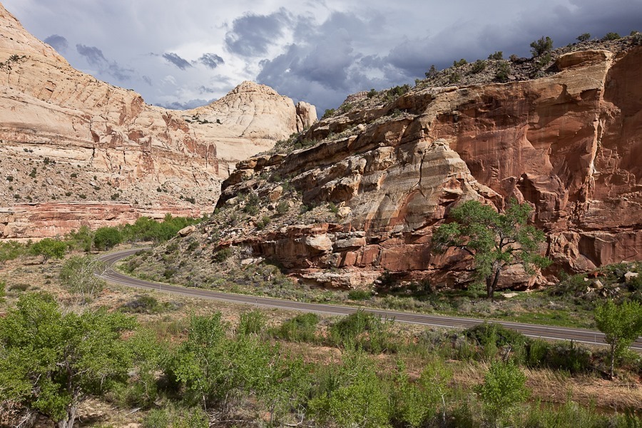
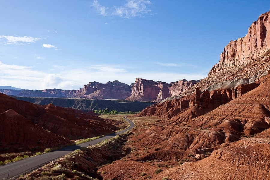
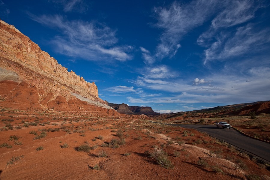
We drove east from Loa, back through Torrey and on to Capitol Reef National Park.  The first thing we did was drive the scenic drive in the park:

Day634_04

Day634_05

We headed down the dirt road through Capitol Gorge:

Day634_06

Day634_07

Day634_08

Day634_09

Day634_10

Day634_11

Day634_12

Day634_13

Day634_14

The park also preserves the Mormon settlement of Fruita, which was a private inholding when the monument was established in the 1920s.  The last resident left in the late 1960s.  The Park Service staff maintain the orchards and fields to give visitors a feeling for what life was like in the ten family settlement:

Day634_15

Day634_16

Day634_17

Not a bad view:

Day634_18

We drove east just outside the park boundary to disperse camp on BLM land.  See the trip map for today’s drive and our current location.
Day 632: Boulder, UT to Forsyth Reservoir

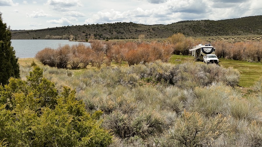
We woke up to a sunny day at our dispersed camping location on Burr Trail Road in Grand Staircase-Escalante National Monument:

Day632_01

We drove back to Boulder, then north to Torrey where there’s a great information center.  We took advantage of their displays and free WiFi:

Day632_02

We continued west to the town of Loa solely to shop at their grocery store.  The town, large for this area with a population of about 500, has the largest store we’ve encountered since leaving St. George almost two weeks ago.  We were also able to fill up our water tank at the USFS office in town (thanks!), and dump at a concrete company on the way out of town on our way north to Forsyth Reservoir.  This part of the US is so sparsely populated that dispersed camping on a lake shore is not a problem.  With our cell booster, we get no AT&T coverage but do have one intermittent bar of Verizon:

Day632_03

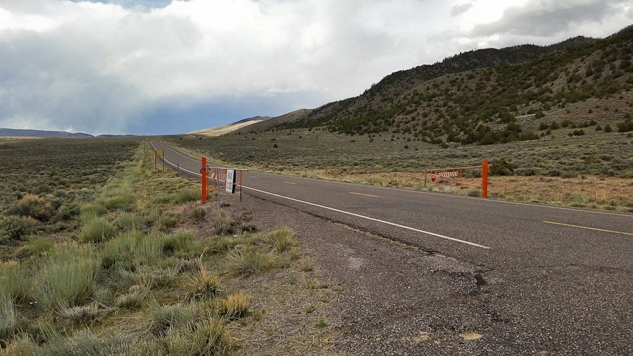
I went out for a bike ride, heading north into the mountains:

Day632_04

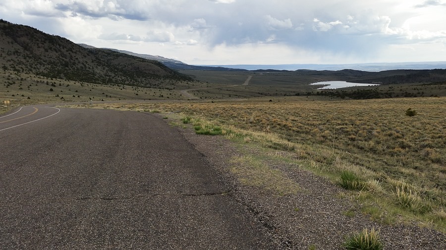
Looking back down towards Forsyth Reservoir:

Day632_05

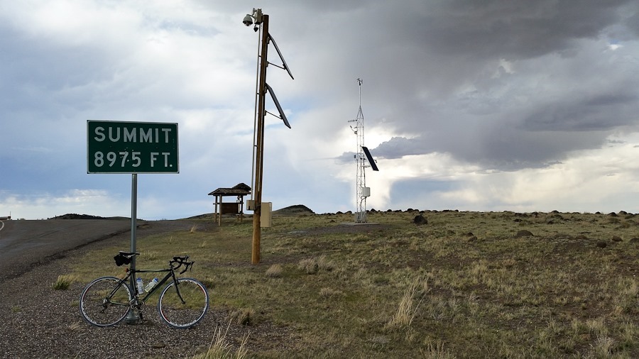
At last, the summit:

Day632_06

Good Shabbos from Forsyth Reservoir:

Day632_07

See the trip map for today’s drive and our current location.
Day 631: The Waterpocket Fold and Wingate Sandstone

This morning M and I drove a couple miles to the Escalante Airport where I flew post-training flight #49.  At 5,700 above sea level, the paramotor provided quite a bit less thrust than at sea level:

Day631_02

B photographed me flying over the RV:

Day631_03

Cleaning up after the landing:

Day631_04

There were plenty of interesting planes at the airport:

Day631_01

Day631_05

Day631_06

Day631_07

I had spotted this pond under an overhang near the RV from the air, so the kids and I hiked out to find it:

Day631_08

We hitched up the RV and drove north to the village of Boulder, then south and east on the Burr Trail.  We dropped off the RV in a dispersed camping area along the road, then drove to the end of the pavement, leaving Grand Staircase-Escalante National Monument and entering Capitol Reef National Park.  We turned north on Upper Muley Twist Canyon Road to drive through a wash towards a trailhead:

Day631_09

Careful aim was necessary in a couple places:

Day631_10

Day631_11

Day631_12

Day631_13

We passed Cheerios Double Arch:

Day631_14

Hiking on the trail, we spotted this interesting lizard:

Day631_15

Day631_16

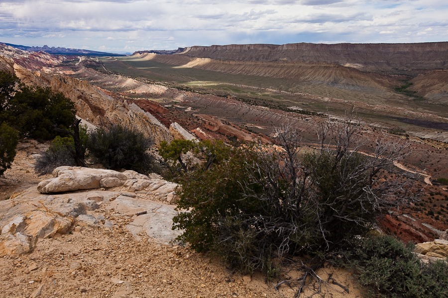
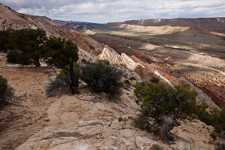
After a half mile or so we reached the Strike Valley Overlook, where we could see the Waterpocket Fold, the largest monocline in North America

Day631_17

The Waterpocket Fold extends for over 100 miles, and we could see it stretch to the horizon to the left and right:

Day631_18

Day631_20

A panorama of the Waterpocket Fold:

Day631_21

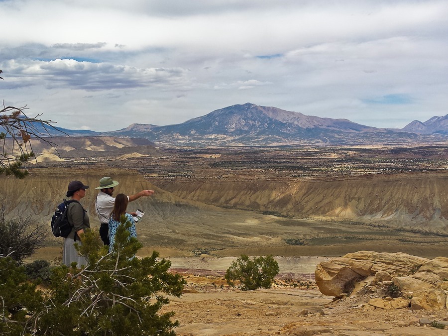
M caught me working my inner park ranger:

Day631_23

Day631_24

Day631_25

On the way back to the RV, we stopped at the trailhead for Little Death Hollow Canyon:

Day631_28

The canyon doesn’t get narrow until four miles from the trailhead, but we figured it would make a nice hike anyway:

Day631_29

Day631_30

The sign at the trailhead warned against scaring grazing cows deep into the canyon:

Day631_31

We found some pictographs along the way:

Day631_32

Day631_33

Deeper into the canyon, we found quite a bit of petrified wood:

Day631_35

B found cow remains:

Day631_36

Little Death Hollow is one of a handful of slot canyons in Wingate Sandstone, which is usually too hard to form slot canyons, as opposed to the softer Navajo Sandstone where slot canyons are common.  The stones have interesting patterns up close:

Day631_37

Day631_38

Day631_39

Day631_41

Heading back out:

Day631_42

Day631_43

We saw other interesting formations as we drove back to the RV:

Day631_44

Day631_45

We got back to the RV just a bit after sunset.  Even with the cellular booster, we have neither Verizon nor AT&T signal here:

Day631_46

See the trip map for today’s drive and our current location.
Day 630: Riding the Escalante Plateau

This morning we decided to have a rest day after the days of hiking we’ve been doing.  I had a bit left, so I went out for a short morning ride up and down a couple good climbs north of Escalante.  At a scenic pullout, I could look down on the road ahead:

Day630_01

Day630_02

After a while I arrived at the top of the second descent:

Day630_03

After riding along the Escalante River for a while, I turned around at the foot of this climb:

Day630_04

For the rest of the day we did miscellaneous tasks around the RV.