Going forward, we will refer to our kids by their first initials. Our daughter is “B”, and our son in “M”.
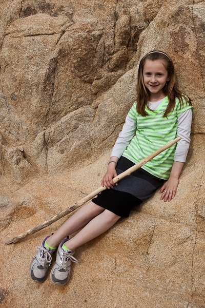
B started working on her own blog this week, called On the Road Again. I’ve added a link to it in the Menu. It’s a great way for her to share her photography, as well as practice her writing and photo editing skills. Please stop by and leave an encouraging comment on her first post!
One of the interesting things to see in Afton Canyon is the slot canyon called Spooky Canyon. We tried driving there from the campground, but we found we would have to cross the Mojave River which is 40 feet wide and 14 inches deep here. We met a BLM truck on our way back to the campground, and I asked about getting to Spooky Canyon from the Eastern entrance to Afton Canyon. The BLM guys said they would drive us over there to show use the way.
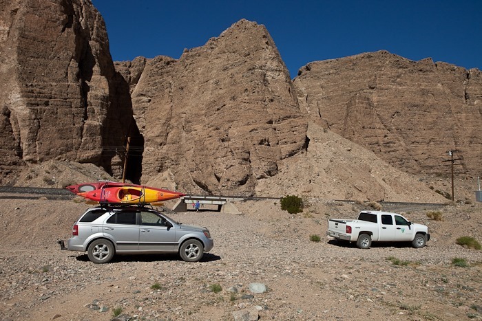
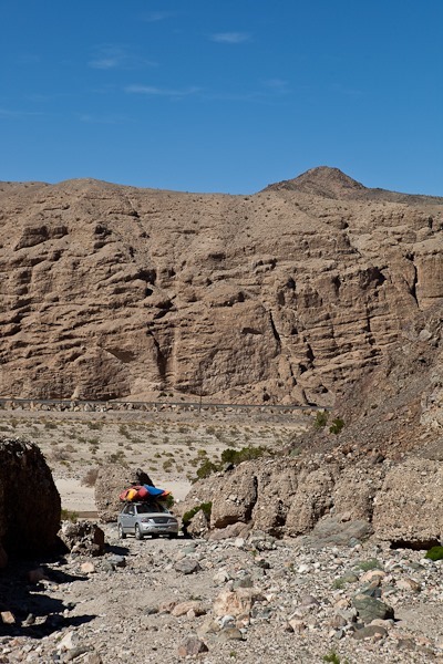
20 minutes later, we were at the entrance to Spooky Canyon:
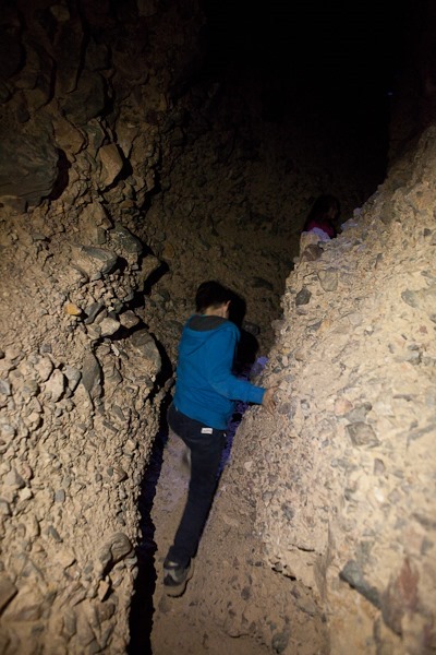
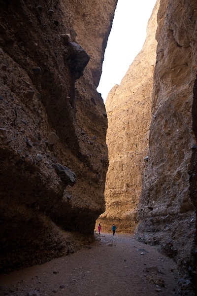
Spooky Canyon starts out fairly wide with 200’ walls:
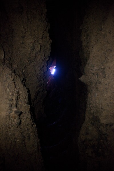
After a bit the top of the canyon closes in, and flashlights are necessary to continue:
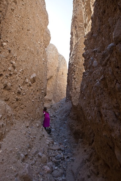
Looking way up, the canyon rim can only be glimpsed in certain locations from the bottom:
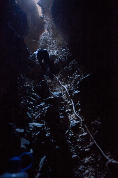
Eventually we reached a 30 foot waterfall. Conveniently, a rope had been placed there to aid in climbing. After giving it a couple test falls to make sure it was well secured, our son and I headed up:
After another 30 feet, we reached a 150 foot high climb, which we decided to forego:
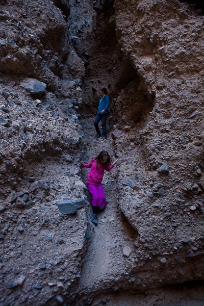
Heading back down, the kids explored a side canyon:
Looking across Afton Canyon, we decided to explore the Southern rim:
The stone here is much softer, but there were some slot canyons here too:
On our way back to the RV, we passed a train:
We found an abandoned mine as well. A plank road had been built though the mine:
The BLM guys told us that the signage was incorrect, and that only the canyon area is restricted for dispersed camping. Rather than stay in what might be a crowded campground for the weekend, we hitched up and drove a half-mile to the canyon rim for dispersed camping.
Today we left the Walmart of Barstow, CA at 8:30 in order to arrive at Fort Irwin at 9:30 for our tour of the Goldstone Deep Space Communications Complex. After clearing security at Fort Irwin by showing drivers licenses, registration, and proof of insurance, we had to do the same thing at the NASA checkpoint. Goldstone is entirely surrounded by Fort Irwin, so I’m not sure why we had to be checked again. For security reasons, they insisted that we not take the RV into Goldstone. By the time we had unhitched, Leslie, our guide for the morning, had come to meet us. Goldstone is operated by a contractor hired by JPL, and part of the contract is to provide interpretive staff for visitors. There are two tours a day, and today it was just us and Leslie.
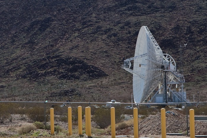
We followed Leslie’s car for 15 minutes or so into Goldstone, and eventually arrived at the Mars Antenna. It is 230 feet across and like all the Antennas at Goldstone, it’s used primarily to communicate with NASA probes. Mars was expanded to it’s current size to support the Voyager missions:
The outbound signal from the Mars Antenna is 250,000 Watts in strength, and it can receive back signals from Voyager which are one-billionth of one-billionth of a watt by the time they reach Earth.
Next to Mars was the 34-meter diameter Uranus Antenna:
After visiting these antennas, we were taken to the visitor center:
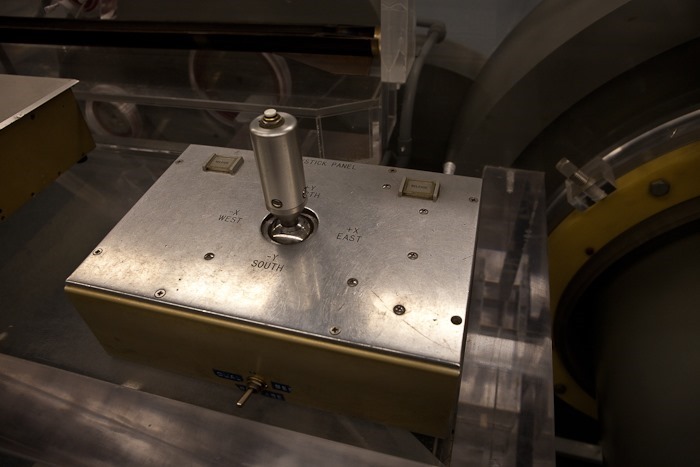
Aiming the antennas in the ‘50s wasn’t exactly rocket science:
The visitor center is adjacent to the Echo Antenna, which like Uranus has a 34-meter diameter:
After our tour, we had lunch in the RV. Outside our window, an armored column of 50 or so vehicles thundered by:
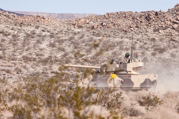
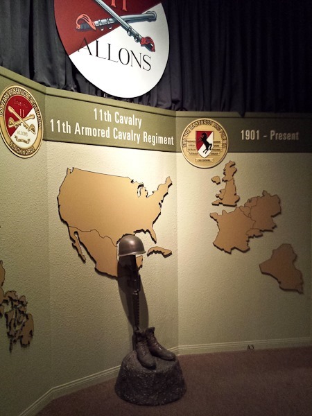
We headed into “downtown” Fort Irwin to visit the museum there. The tanks outside carried OPFOR Russian livery:
There was an exhibit dedicated to Hi Jolly, whose grave we saw in Quartzsite:
From Fort Irwin, we drove to the BLM campground at Afton Canyon, the “Grand Canyon of the Mojave”. We are overnighting here for $6 because I’ve read that dispersed camping is not allowed in the Afton Canyon BLM subdistrict. I’ll be calling the BLM office in the morning to confirm.
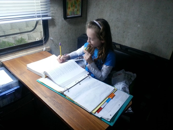
We decided to stay at the Walmart of Barstow, CA for another night, as our visit to a NASA facility in Fort Irwin is available tomorrow morning, but not today. We got in a full day of homeschooling, and watched baby videos of the kids before they went off to bed.
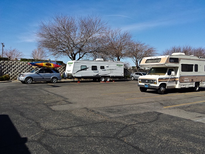
He we are at Walmart with a bit of company:
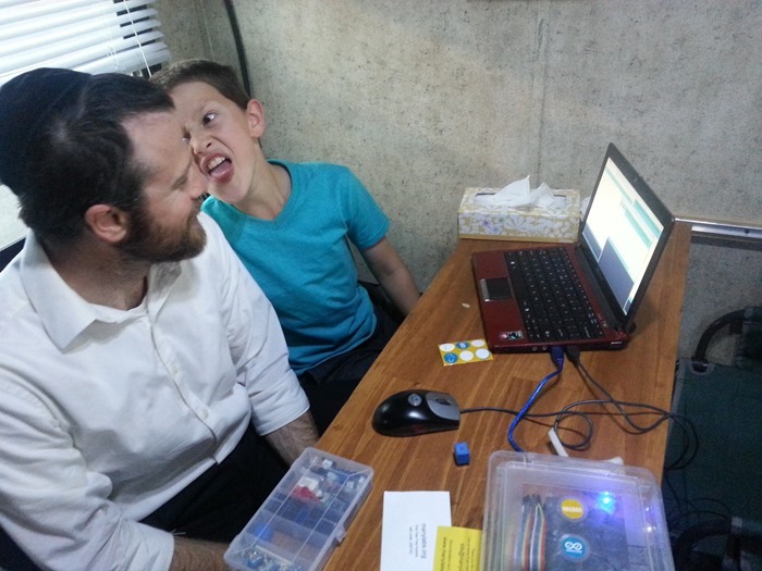
It’s possible that our son had had enough by the time we got to Arduino class:
This morning we left the Walmart of Yucca Yalley and headed into Joshua Tree via the Northwestern entrance, which is the only entrance we didn’t explore the last time we were here.
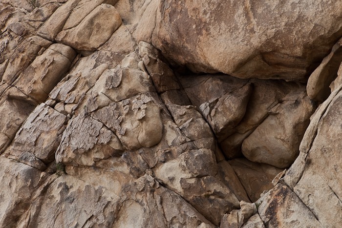
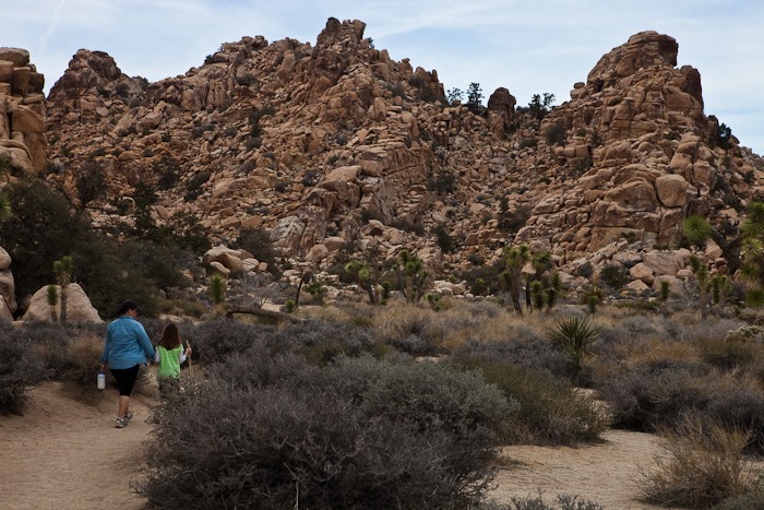
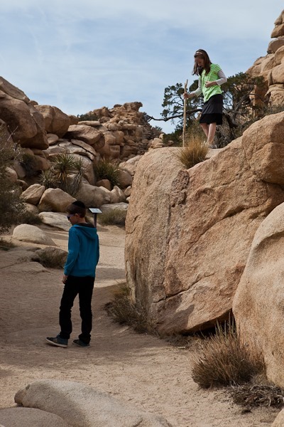
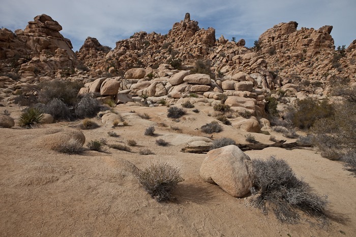
We walked the Hidden Valley loop trail, which winds its way through Hidden Valley, a bowl ringed by low hills:
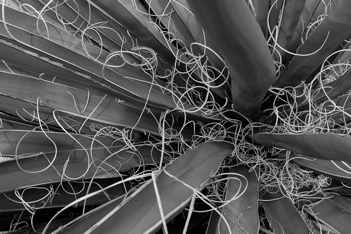
Yucca:
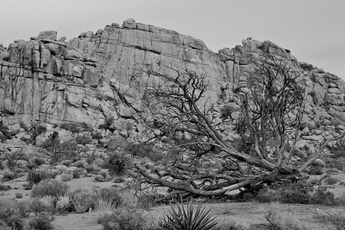
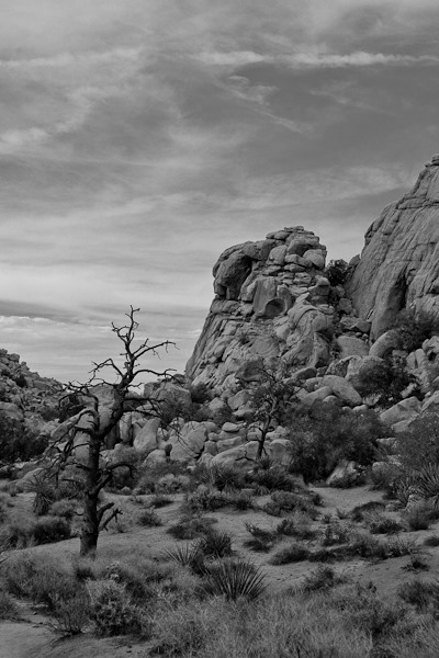
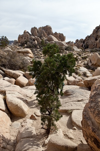
Hidden Valley has conifers growing in it due to the moisture captured and retained in the valley. The rest of Joshua Tree lost its conifers as the area transitioned to a desert climate. Unfortunately, introduced species, their seeds carried here in the fur of cattle and sheep, prevent the conifer seeds from taking root, so the valley is loosing its conifers. A few dead ones remain:
Hidden Valley confier:
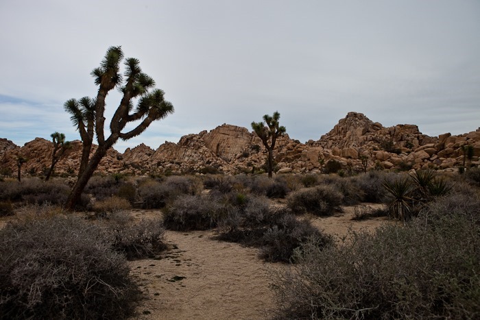
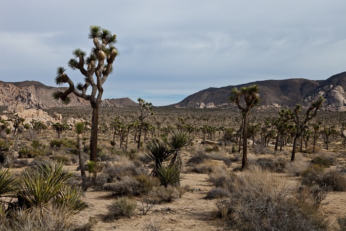
Looking out over Joshua Tree National Park:
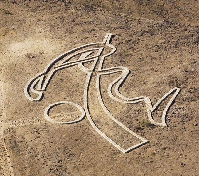
On the way to Barstow, our Field Trip Android App alerted us to a sculpture called Rhythms of Life, a 250 x 250 foot sculpture constructed by Andrew Rogers in 2008 and made of hundreds of tons of rock. Here’s what it looks like from the air:
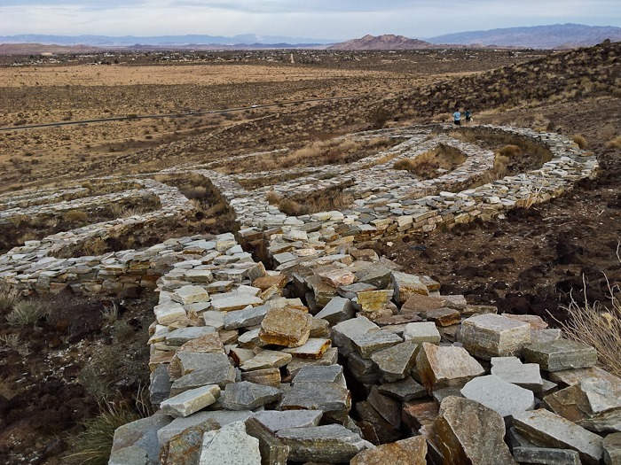
Using the photo above as reference, here we are along the left side of the sculpture:
A photo from the “top” of the sculpture:
Tonight we’re staying at the Walmart of Barstow, CA. See the trip map for details.






















 Facebook
 Instagram
 Email
Email