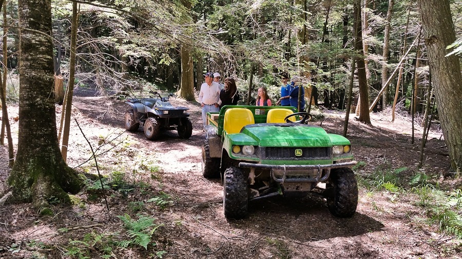
Today we drove out to visit Uncle Lyle’s Farm, which has been in Tricia’s family for over 100 years. Uncle Lyle loaded up B and Trish and her sister in the back of the utility vehicle, and M and I rode with Grandpa Glenn on the ATV:
While the adults chatted, M and B took turns driving the ATV around the farm:
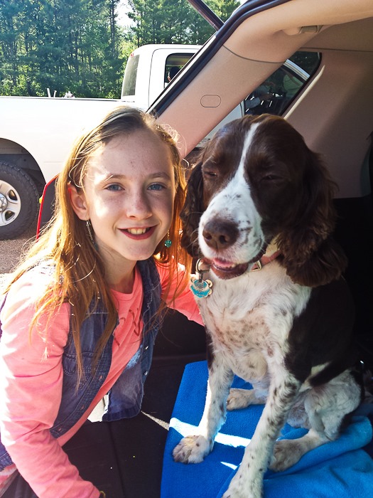
B and Wren:
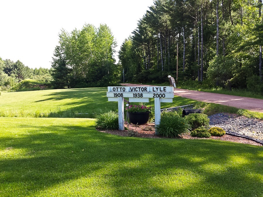
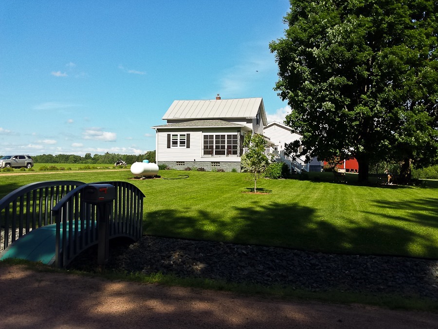
It was a beautiful day to be on the farm:
In the evening, I drove out to an ultralight field near Wausau. Between family members and the owners of the field, we had a bit of a crowd:
The wind was strong and changing directions, so the first two launches didn’t work out, but the third one was good:
Launch of flight #51:
There were nice sunset views to be had once airborne:
The ride was not at all smooth, so I came down pretty quick. The landing was just fine:
Click the Vel and Alt buttons below to display the flight graph. Click the grey bar on the right edge of the map to display the stat bar:
I’m hoping to come back for another flight tomorrow morning.
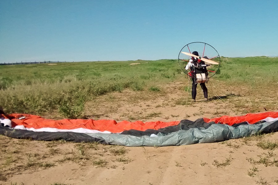
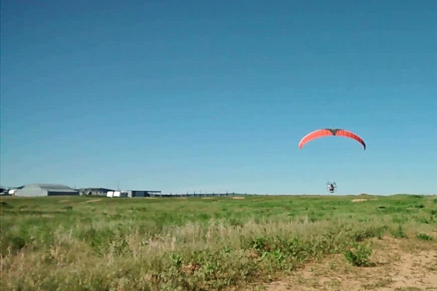
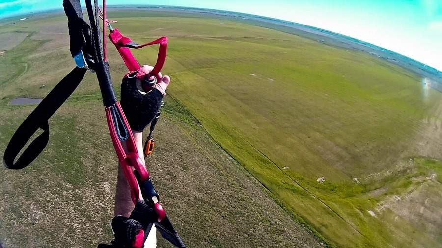
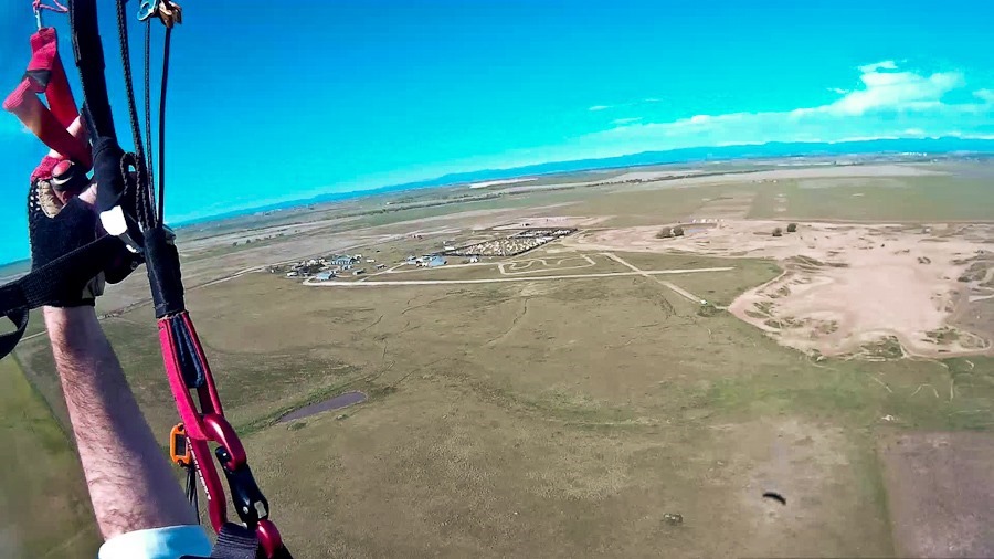
This morning the weather was great, so I went for a morning flight here at Snowflake outside of Denver:
This was my 50th post-training flight:
My last flight was in Escalante, Utah about a month ago, so today’s goal was to reset the “last flight date” counter to zero. I took off a little past three hours after sunrise, so the air was plenty bumpy. I just did one lap and came in to land:
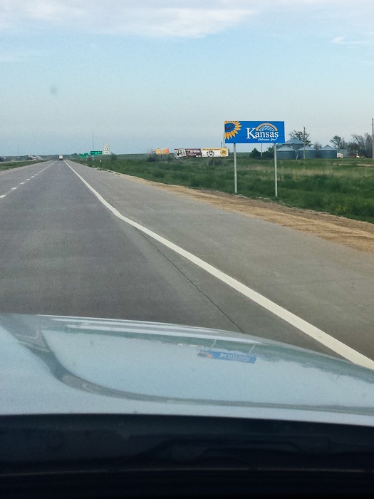
We said goodbye to Roger and Pat (thanks for hosting us!) and drove east into what I usually think of as the boring half of the country. We’re now firmly east of the Rockies for the first time in nearly two years:
We are overnighting at the Walmart of Colby, Kansas. Our last Walmart overnight was in January! See the trip map for today’s drive and our current location.
This morning M and I drove a couple miles to the Escalante Airport where I flew post-training flight #49. At 5,700 above sea level, the paramotor provided quite a bit less thrust than at sea level:
B photographed me flying over the RV:
Cleaning up after the landing:
There were plenty of interesting planes at the airport:
I had spotted this pond under an overhang near the RV from the air, so the kids and I hiked out to find it:
We hitched up the RV and drove north to the village of Boulder, then south and east on the Burr Trail. We dropped off the RV in a dispersed camping area along the road, then drove to the end of the pavement, leaving Grand Staircase-Escalante National Monument and entering Capitol Reef National Park. We turned north on Upper Muley Twist Canyon Road to drive through a wash towards a trailhead:
Careful aim was necessary in a couple places:
We passed Cheerios Double Arch:
Hiking on the trail, we spotted this interesting lizard:
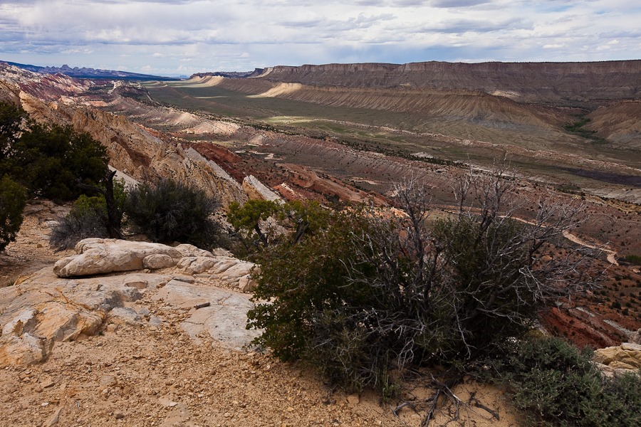
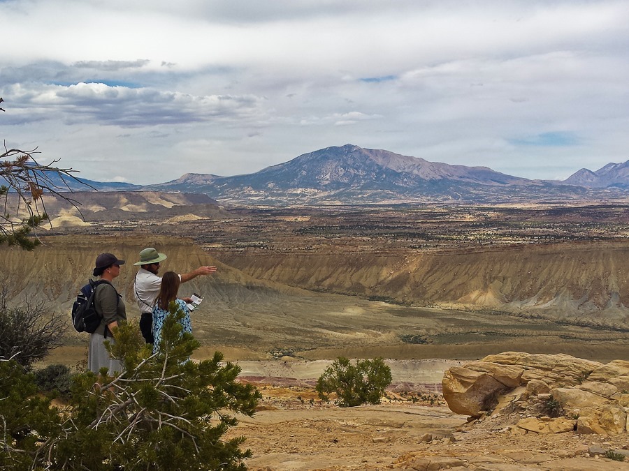
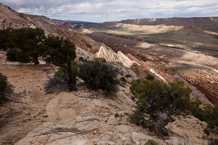
After a half mile or so we reached the Strike Valley Overlook, where we could see the Waterpocket Fold, the largest monocline in North America
The Waterpocket Fold extends for over 100 miles, and we could see it stretch to the horizon to the left and right:
Deeper into the canyon, we found quite a bit of petrified wood:
B found cow remains:
Little Death Hollow is one of a handful of slot canyons in Wingate Sandstone, which is usually too hard to form slot canyons, as opposed to the softer Navajo Sandstone where slot canyons are common. The stones have interesting patterns up close:
Heading back out:
We saw other interesting formations as we drove back to the RV:
We got back to the RV just a bit after sunset. Even with the cellular booster, we have neither Verizon nor AT&T signal here:
See the trip map for today’s drive and our current location.
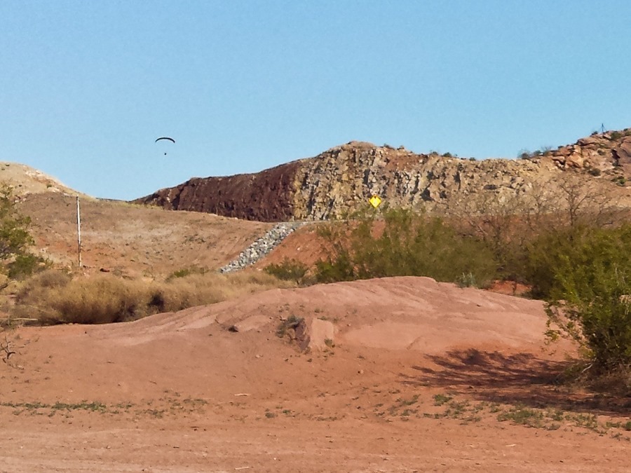
This morning I put my paramotor in the truck and drove to a local gas station where local PPG pilot Craig and I took off for my flight #48. The plan was to fly over the RV on our way to the sand dunes nearby. The flight was amazing, as the terrain here is dotted with ridges and mesas that have to be navigated. M spotted me approaching in the distance:
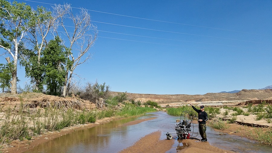
I was about 700 feet up, enjoying the view, while Craig was flying low following the contours of a creek. After looking around at the landscape for a moment, I looked back down and saw that Craig had landed on a sandbar in the creek. I thought this was odd, then noticed that power lines went across the river where he had landed. I realized Craig had not landed voluntarily. His wing had hit the lines, collapsed, and he came down pretty hard from 15 feet up. I came down low to make sure he was still moving around.
Once I saw him waving at me, I flew back to the gas station and drove back to pick him up. We then drove back to the gas station, he picked up his truck, and we drove back to the crash site. We had to walk about a quarter of a mile out to the creek to retrieve Craig’s paramotor trike. He had broken the rear axle, so we had to carry it back. Before we slogged back to his truck with his trike, Craig pointed out the power lines. It was a long span across the creek, so it’s not surprising that he didn’t see the pole on either side of the creek. All in all, Craig was very lucky to come away uninjured save for a bruised elbow:
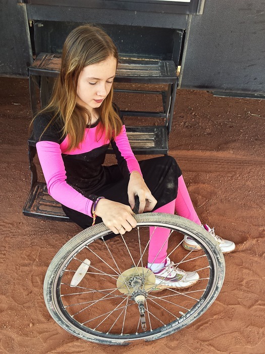
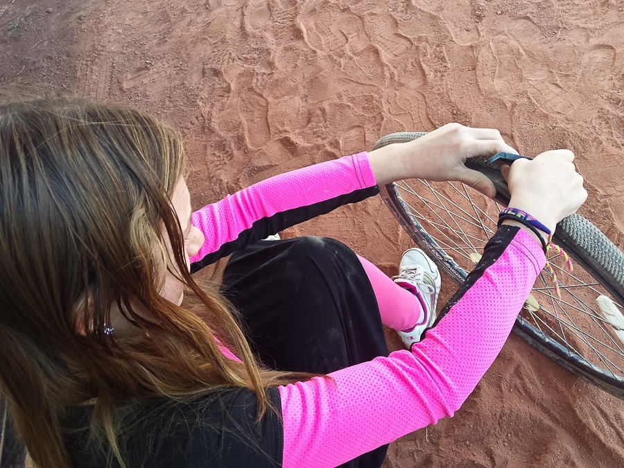
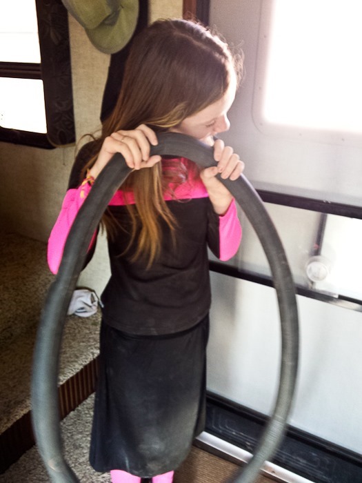
Meanwhile, back at the RV, B patched her bike tire:
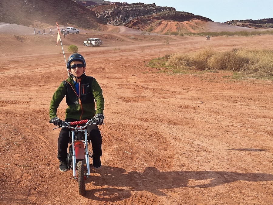
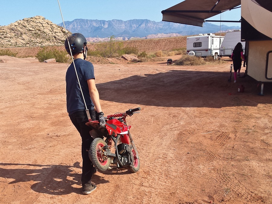
M rode his motorcycle around:
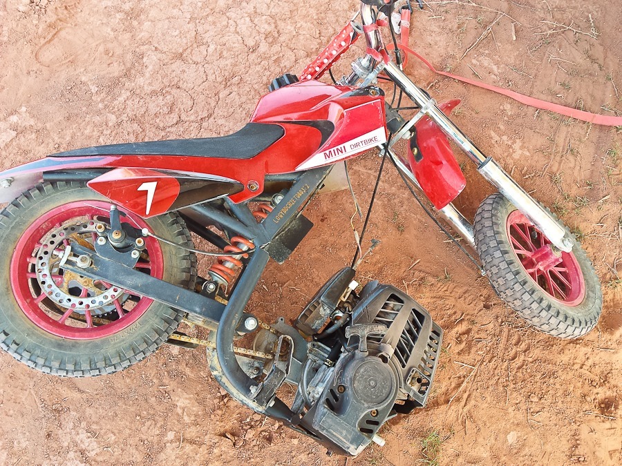
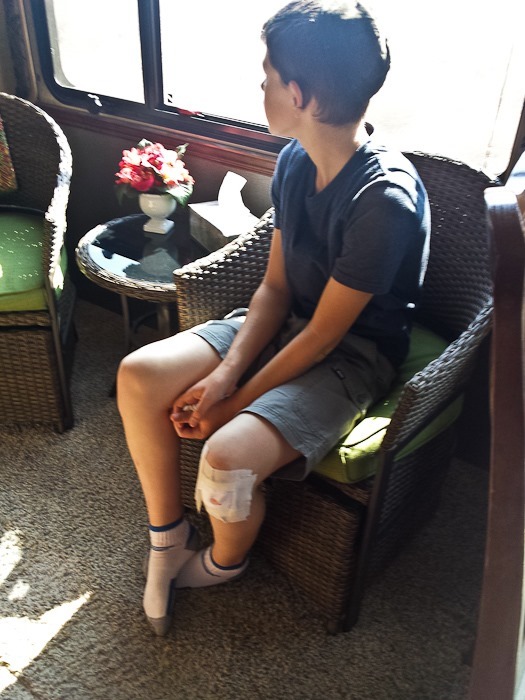
Unfortunately, he went over a hill too fast, and came down hard enough to break the motorcycle frame. He tumbled off the motorcycle as a result of the frame failure:
Trish got him patched up:
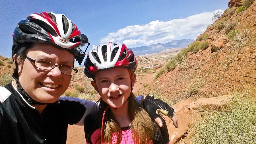
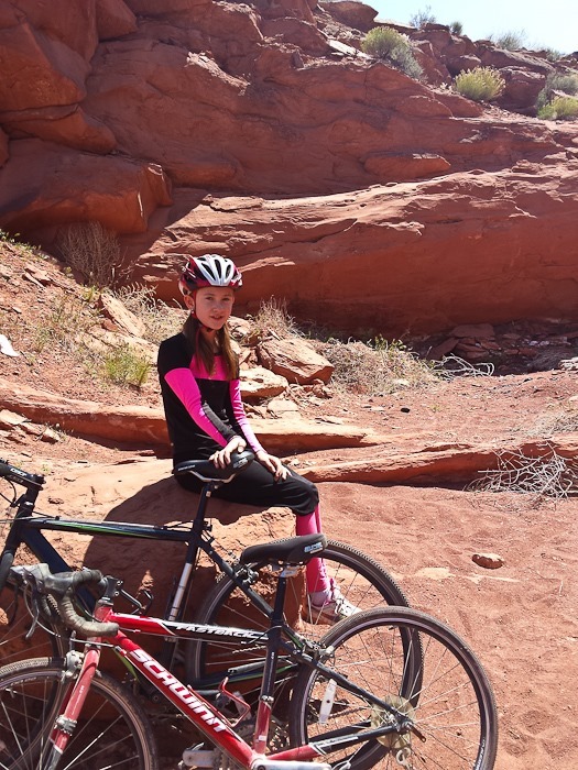
After I returned to the RV, Trish a B went out for another Tour de Simcha training ride:
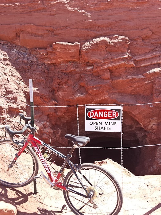
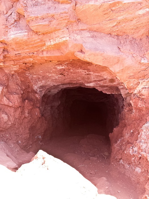
They found an abandoned mine:
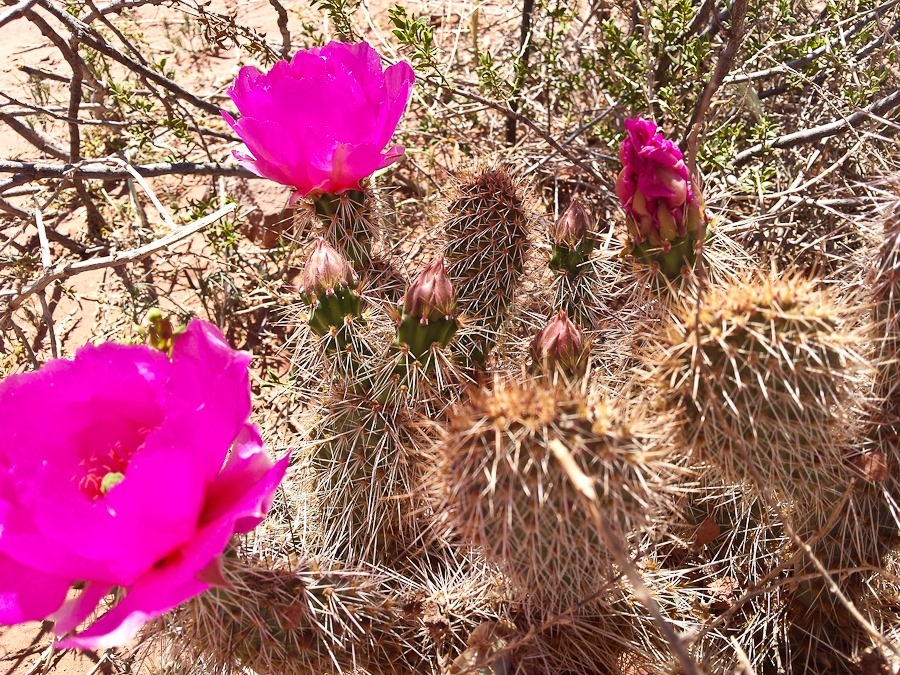
B also found a blooming prickly pear cactus to photograph:
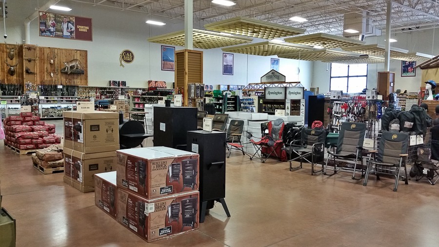
On the way out of town, we stopped at the local C-A-L Ranch store to buy propane. The store has everything a rancher might need, like chicken feed:
We also stocked up on groceries before driving east to Kanab, where we dumped our tanks, then North and east to overnight in the Dixie National Forest just outside of Bryce Canyon National Park. See the trip map for today’s drive and our current location.




















 Facebook
 Instagram
 Email
Email