Assateague Sukkos 2016, Day 3: Flying and Wild Horses

Shabbos on Assateague Island National Seashore was pleasant.  The weather was great and we went for a number of walks in the area.

This morning was sunny and warm.  The ocean is on the other side of the protective dune:
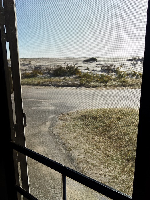
Sukkos_2016_Day_02_001

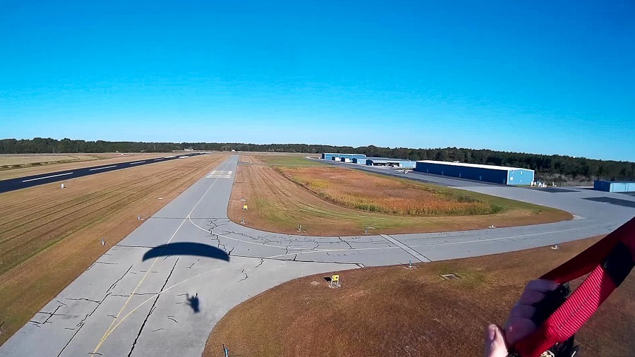
I drove over to the local airport to fly my PPG over Assateague:
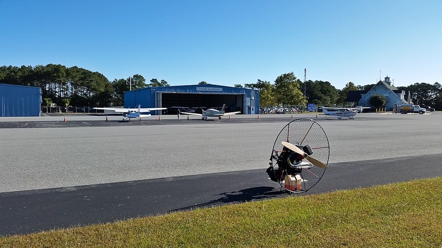
Sukkos_2016_Day_02_002

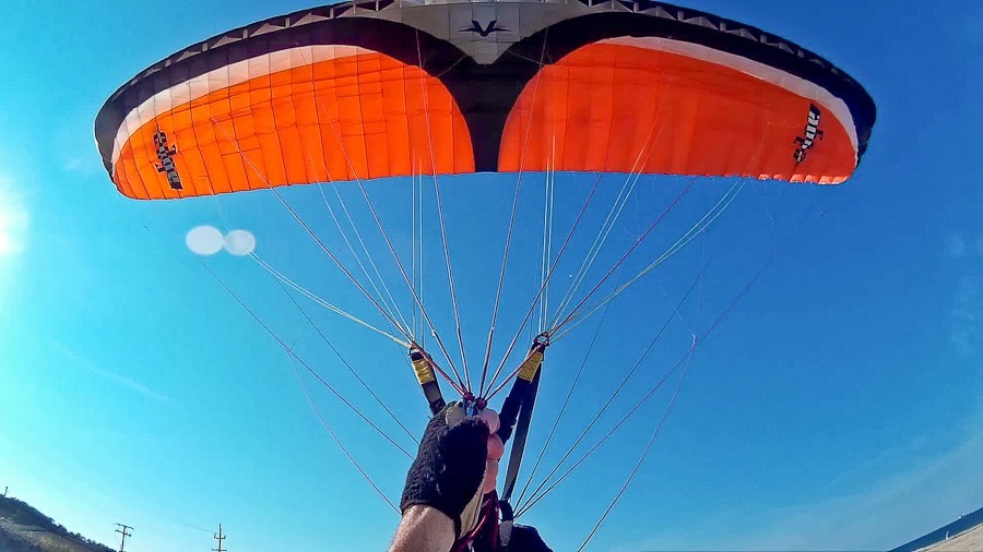
Launch of flight #111:

Sukkos_2016_Day_02_003

Assateague Island lies beyond the bay at the end of the runway:

Sukkos_2016_Day_02_004

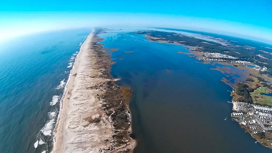
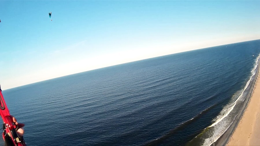
Flying south, I overflew the undeveloped northern section of Assateague:
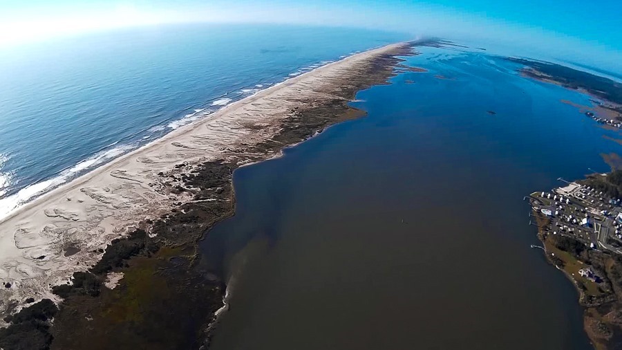
Sukkos_2016_Day_02_005

Sukkos_2016_Day_02_006

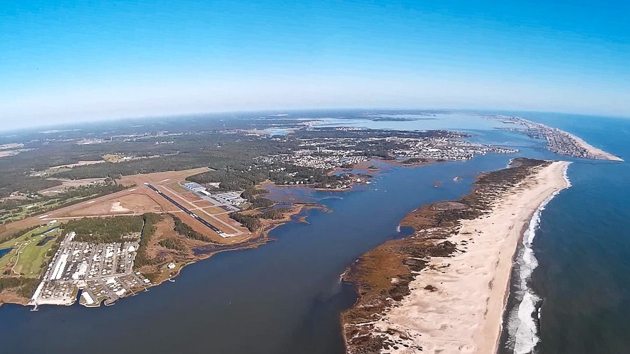
Flying north, the city of Ocean City, Maryland is visible on the southern end of Fenwick Island, across the channel from the northern tip of Assateague Island:

Sukkos_2016_Day_02_007

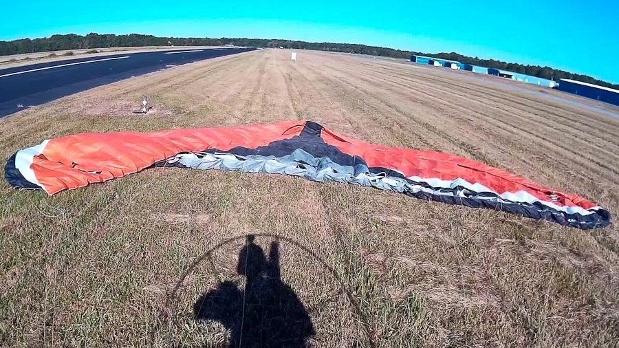
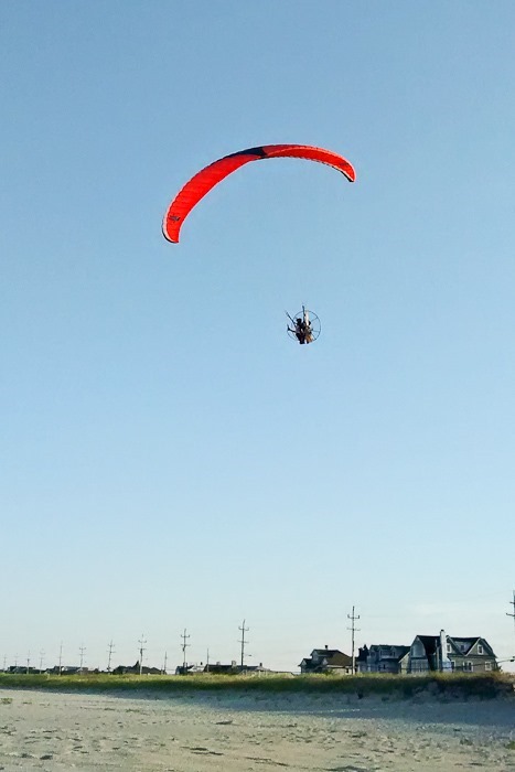
Approaching the airport:

Sukkos_2016_Day_02_008

Sukkos_2016_Day_02_009

Sukkos_2016_Day_02_010

This video contains my four flights during this trip:

I raced back to the RV to exit our campsite by the 11AM checkout.  We relocated to the day use area for the rest of the day.  The kids went off to the beach, and Trish and I stayed back at the RV.  I was in touch with Cherie and Chris, two fulltime RVers whose adventures I have been following on their blog Technomadia since a year or so before the trip.  They happened to be staying at the state campground on Assateague, and they rode their bikes over to say hello.  It was great to meet them in person, and our conversation quickly turned to topics at the confluence of technology and mobile living.

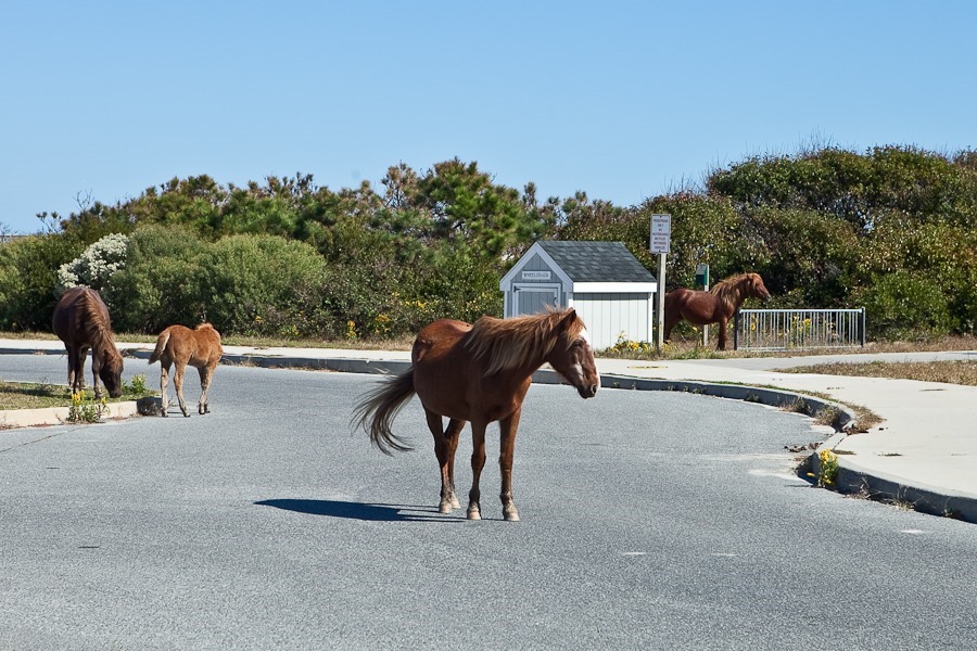
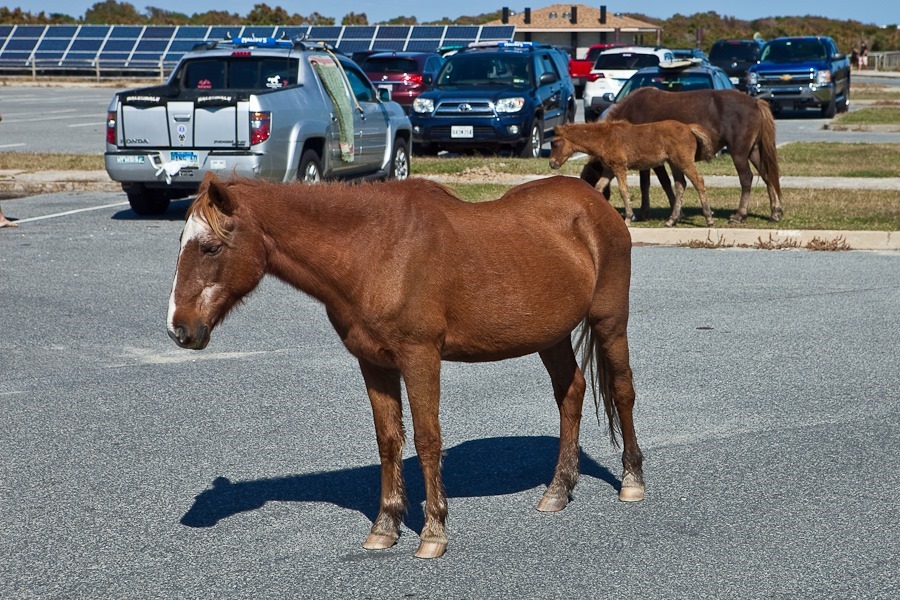
At lunchtime, a group of Assateague’s feral horses wandered through the parking lot:

Sukkos_2016_Day_02_011

Sukkos_2016_Day_02_012

Sukkos_2016_Day_02_013

Sukkos_2016_Day_02_014

Sukkos_2016_Day_02_015

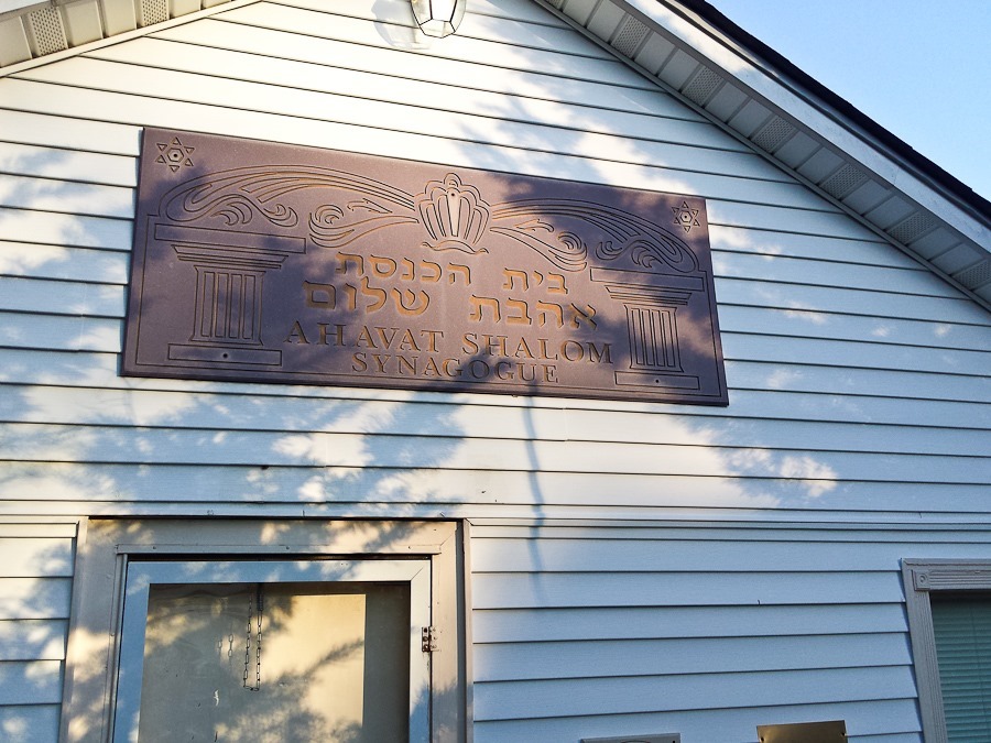
After lunch, we relocated to Ahavat Shalom, the synagogue where we will be spending the first two days of Sukkos.  We set up our sukkah:
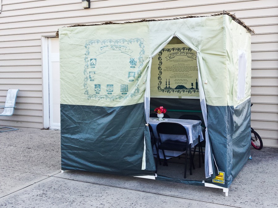
Sukkos_2016_Day_02_016

Sukkos_2016_Day_02_017

Our lovely parking lot campsite:

Sukkos_2016_Day_02_018

Happy Sukkos from Ocean City, Maryland!
Sukkos_2016_Day_02_019

Sandy Hook and Sea Bright

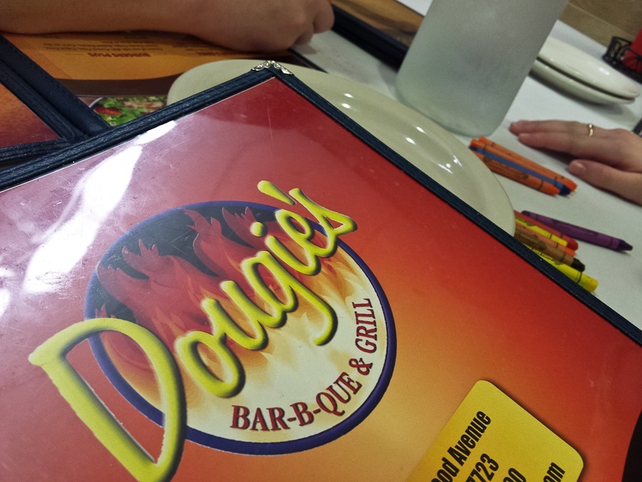
Today we decided to spend some time in New Jersey.  Our first stop was to visit a relative in Tom’s River.  It was fun to catch up on what’s been going on with all the X cousins Y removed.  We stopped for lunch at the Dougie’s in Deal:

16_08_18_Sandy_Hook_and_Sea_Bright_001

When we visit a Dougie’s (there are half a dozen or so throughout the NYC metro area), the kids love drawing on the paper tablecloth.  Zayde designed a time machine or warp drive or something:

16_08_18_Sandy_Hook_and_Sea_Bright_002

Next we visited the Sandy Hook unit of the Gateway National Recreation Area.  At the northern end of the hook is the Sandy Hook Light.  Built in 1764, it’s the oldest operating lighthouse in the US:

16_08_18_Sandy_Hook_and_Sea_Bright_003

16_08_18_Sandy_Hook_and_Sea_Bright_004

16_08_18_Sandy_Hook_and_Sea_Bright_005

We toured the small exhibit space in the visitor center adjacent to the lighthouse, though I’m not sure how much the kids got out of it:

16_08_18_Sandy_Hook_and_Sea_Bright_006

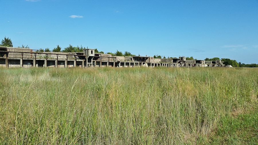
Sandy hook was the home of Fort Hancock, and ruins of coastal fortifications still litter the area:

16_08_18_Sandy_Hook_and_Sea_Bright_007

16_08_18_Sandy_Hook_and_Sea_Bright_008

16_08_18_Sandy_Hook_and_Sea_Bright_009

We walked out to the observation platform on the northern end of the hook:

16_08_18_Sandy_Hook_and_Sea_Bright_010

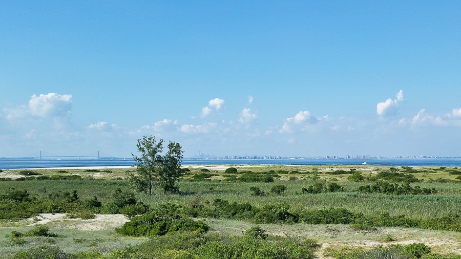
Looking north, we could see Lower Manhattan across the bay:

16_08_18_Sandy_Hook_and_Sea_Bright_011

The kids received their Junior Ranger badges:

16_08_18_Sandy_Hook_and_Sea_Bright_012

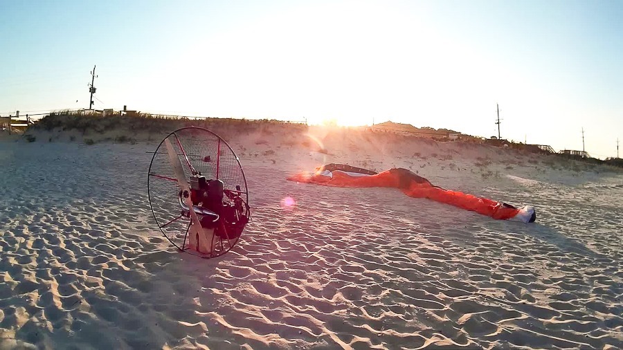
Our next stop was the beach at Sea Bright.  I prepared to launch my PPG:

16_08_18_Sandy_Hook_and_Sea_Bright_014

M is practicing his sunbathing.  I don’t have the “lay around” gene, so I don’t know where he got it:

16_08_18_Sandy_Hook_and_Sea_Bright_013

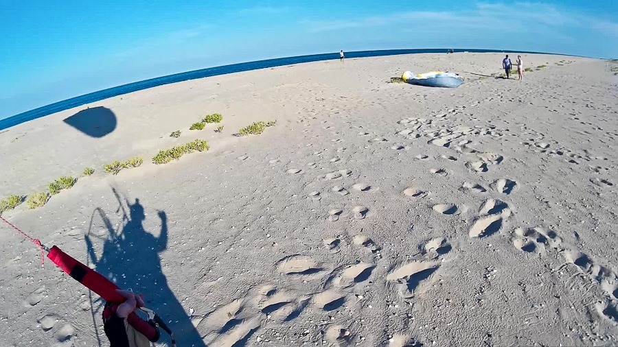
Launch of flight #109:

16_08_18_Sandy_Hook_and_Sea_Bright_015

16_08_18_Sandy_Hook_and_Sea_Bright_016

16_08_18_Sandy_Hook_and_Sea_Bright_017

I landed to talk to another local PPG pilot farther up the beach:

16_08_18_Sandy_Hook_and_Sea_Bright_018

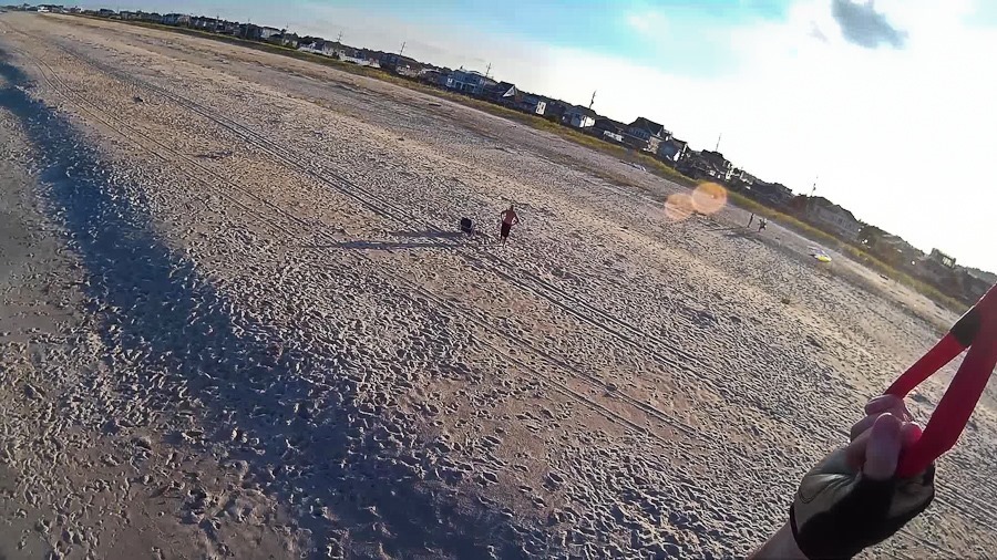
I launched my second flight:

16_08_18_Sandy_Hook_and_Sea_Bright_019

16_08_18_Sandy_Hook_and_Sea_Bright_020

Flying by the family pavilion:

16_08_18_Sandy_Hook_and_Sea_Bright_021

16_08_18_Sandy_Hook_and_Sea_Bright_022

I practiced my foot drags:

16_08_18_Sandy_Hook_and_Sea_Bright_023

16_08_18_Sandy_Hook_and_Sea_Bright_024

16_08_18_Sandy_Hook_and_Sea_Bright_026

16_08_18_Sandy_Hook_and_Sea_Bright_027

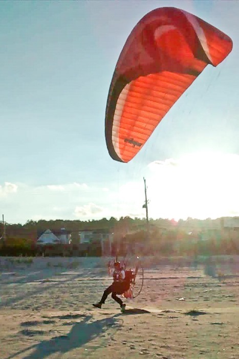
I landed with the power on and just stood there, the wind holding up the wing:

16_08_18_Sandy_Hook_and_Sea_Bright_028

16_08_18_Sandy_Hook_and_Sea_Bright_029

16_08_18_Sandy_Hook_and_Sea_Bright_030

It was a long but great day!
One If By Sea, Two If By Air

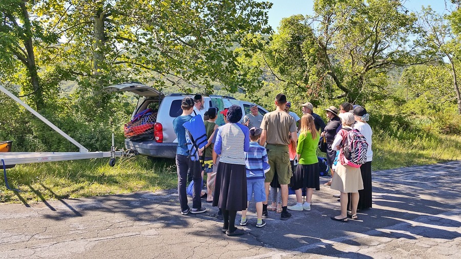
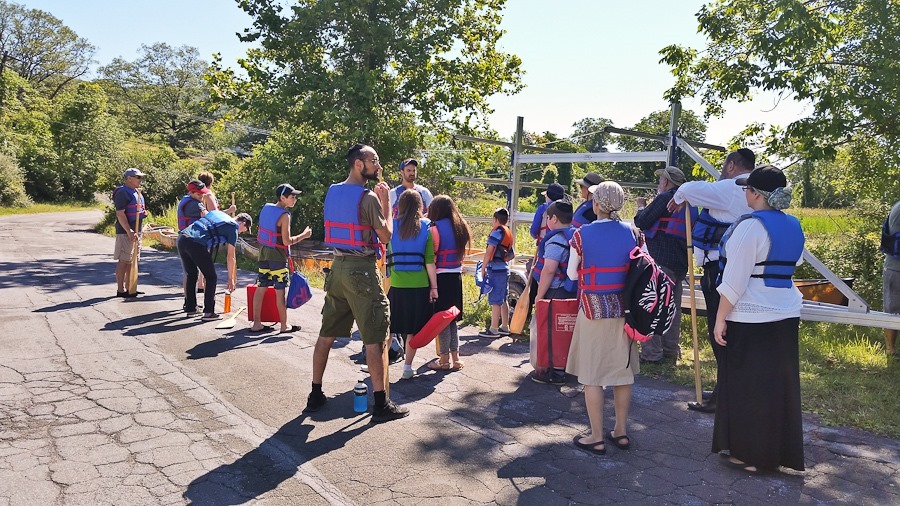
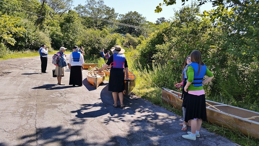
This morning we participated in a public canoe program on Iona Island.  I managed to secure all but two spots for our friends:

16_08_04_Kayaking_and_PPG_001

16_08_04_Kayaking_and_PPG_002

16_08_04_Kayaking_and_PPG_003

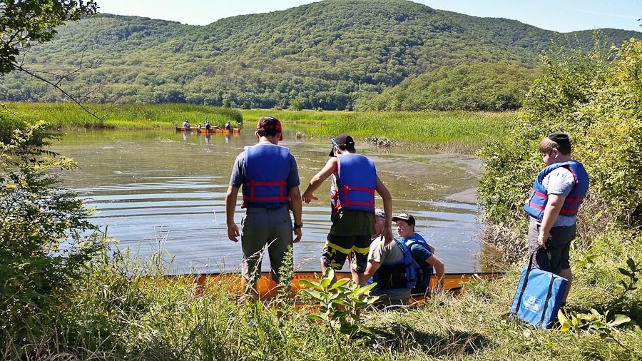
M and his friends load up:

16_08_04_Kayaking_and_PPG_004

16_08_04_Kayaking_and_PPG_005

16_08_04_Kayaking_and_PPG_006

I was with Trish and Mrs. L:

16_08_04_Kayaking_and_PPG_007

We rafted up and one of our guides talked about the marsh:

16_08_04_Kayaking_and_PPG_008

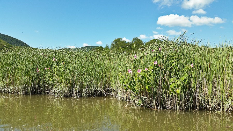
Along the bank, Marsh Mallow was blooming.  This plant’s starchy root was the original ingredient used to make marshmallows:

16_08_04_Kayaking_and_PPG_009

We explored some side passages in the marsh:

16_08_04_Kayaking_and_PPG_010

16_08_04_Kayaking_and_PPG_011

In this alcove, our guides told us about the invasive Phragmites grass that has taken over the marsh.  Everything from RoundUp to goats have been used to try to control this non-native species:

16_08_04_Kayaking_and_PPG_012

16_08_04_Kayaking_and_PPG_013

In another portion of the marsh, the Phragmites has been eliminated.  In its place, Cattails grow in the background while Dogbane lines the shore:

16_08_04_Kayaking_and_PPG_014

16_08_04_Kayaking_and_PPG_015

Looking north, we can see the Bear Mountain Bridge and the abandoned Naval munitions buildings on Iona Island:

16_08_04_Kayaking_and_PPG_016

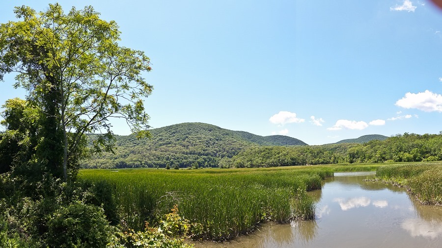
Back on shore, I photographed the marsh from Iona Island:

16_08_04_Kayaking_and_PPG_018

16_08_04_Kayaking_and_PPG_019

16_08_04_Kayaking_and_PPG_020

In the afternoon, I drove down to Sea Bright, the northernmost town on the Jersey Shore, to fly with a few locals.  I kited the wing to check the lines:

16_08_04_Kayaking_and_PPG_021

The wind was blowing at about 12 MPH, so getting the wing set up was a little tough, but after a reverse launch I was airborne for flight 108:

16_08_04_Kayaking_and_PPG_022

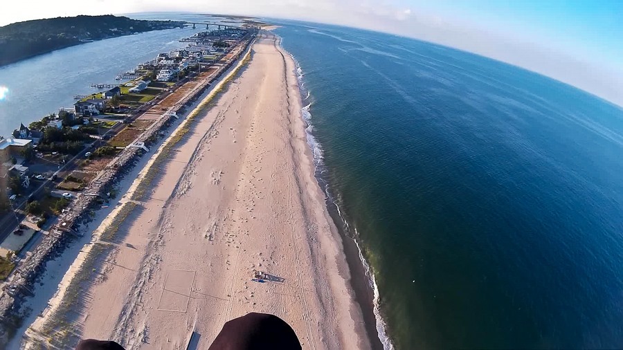
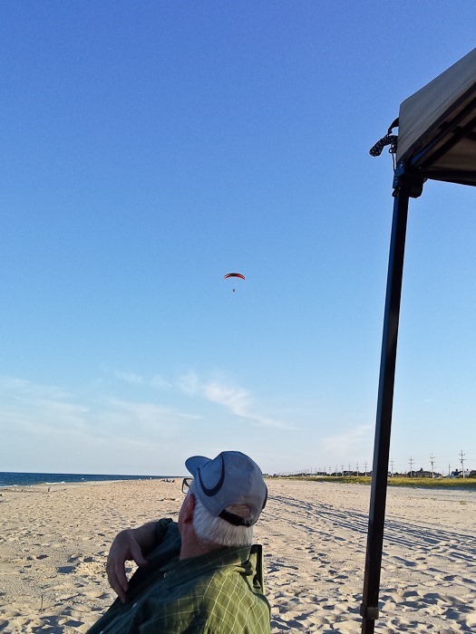
Flying south.  To the left is the Atlantic Ocean:

16_08_04_Kayaking_and_PPG_023

16_08_04_Kayaking_and_PPG_024

Flying north:

16_08_04_Kayaking_and_PPG_025

16_08_04_Kayaking_and_PPG_026

One of my fellow pilots:

16_08_04_Kayaking_and_PPG_027

The wind was blowing so hard that my ground speed into the wind was about 5 MPH, so my landing was extremely slow.  I landed on one foot just for fun:

16_08_04_Kayaking_and_PPG_028

Great flight!

16_08_04_Kayaking_and_PPG_029

16_08_04_Kayaking_and_PPG_030

The north end of the beach was almost empty:

16_08_04_Kayaking_and_PPG_031

16_08_04_Kayaking_and_PPG_032

What a great day!

Flying Randall Airport

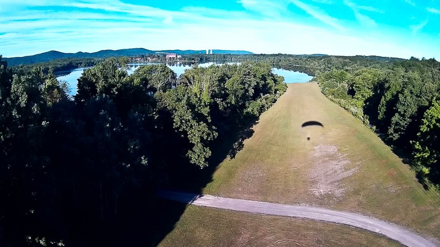
This morning I got up before dawn and drove up to Randall Airport near Middletown, New York.  As I arrived, two hot air balloons were taking off.  I set up my wing and prepared to launch:

LBYL_2016_07_21_001

Liftoff of flight #107:

LBYL_2016_07_21_002

I circled to gain altitude before crossing the runway:

LBYL_2016_07_21_003

LBYL_2016_07_21_004

And away:

LBYL_2016_07_21_005

LBYL_2016_07_21_006

LBYL_2016_07_21_007

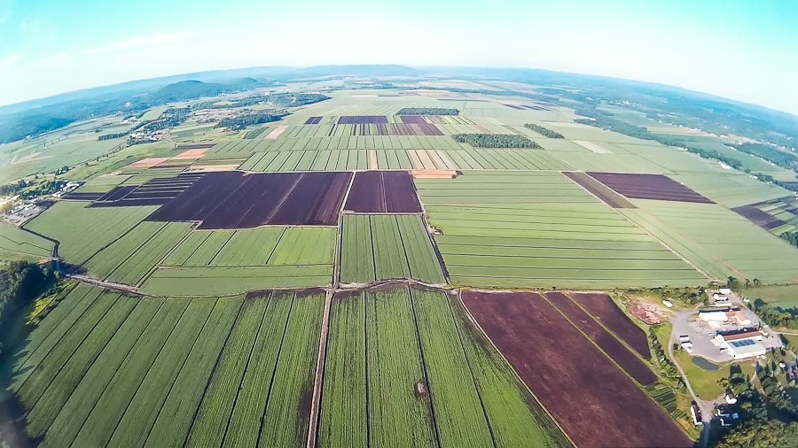
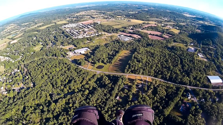
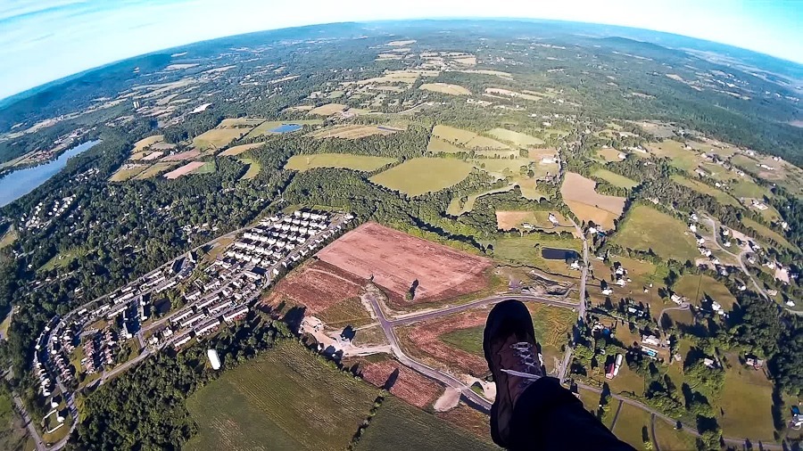
My destination for today was this ancient lake bed known as the Black Dirt Region:

LBYL_2016_07_21_008

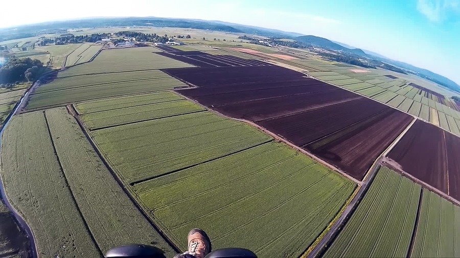
Winds at 1200 feet above the ground were smooth and blowing at 9 to 11 MPH from the west, but as I got down lower, shearing and perhaps rotor made for bumpy flying so I didn’t get lower than 200 feet above the ground:

LBYL_2016_07_21_009

On the way back I flew over this harness racing track.  A horse and cart are visible on the leftmost edge of the track’s grey “lane”:

LBYL_2016_07_21_010
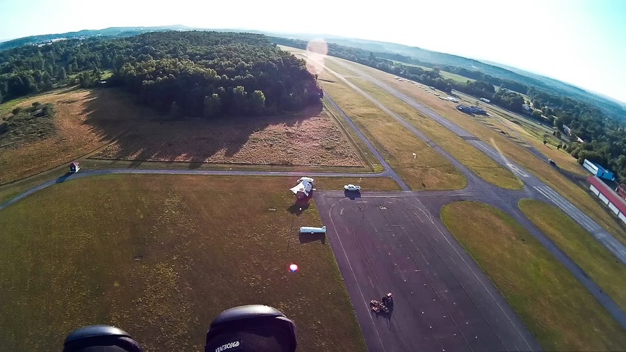
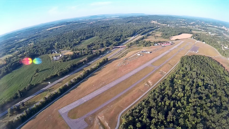
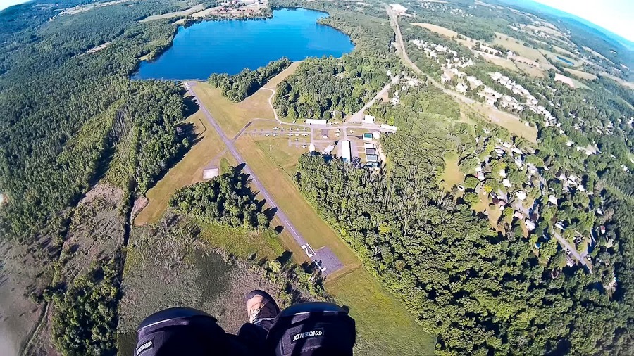
Returning to the airport:

LBYL_2016_07_21_011

Circling around for final approach:

LBYL_2016_07_21_012

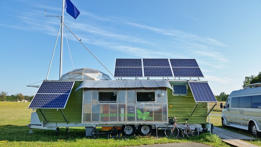
Once I landed, I took a closer look at fellow PPG pilot Paul’s Emergency Response Studio, parked here at the airport:

LBYL_2016_07_21_013

I love the translucent wall section and the geodesic homage to Buckminster Fuller:

LBYL_2016_07_21_014

LBYL_2016_07_21_015

This bumper garden and trellis is fantastic:

LBYL_2016_07_21_016