Summer 2018, Day 29: Lava Beds NM, WW2 Valor in the Pacific NM-Tule Lake Unit

Shabbos dispersed camping on the California/Oregon border was peaceful.  We went for a walk and turned around when we ran into a bull.

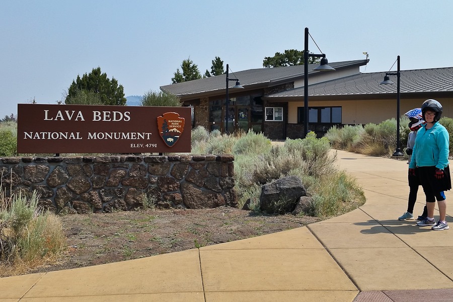
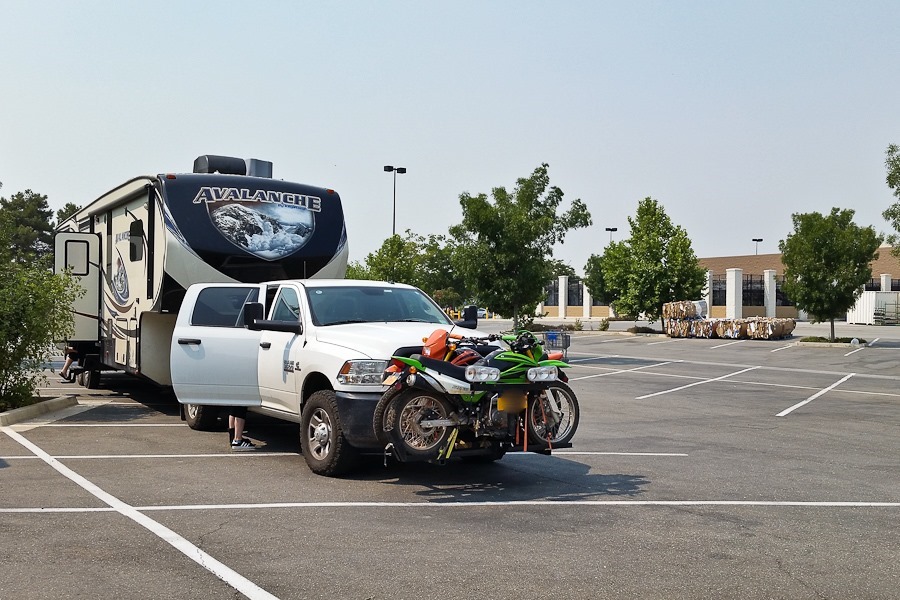
This morning we wanted to visit Lava Beds National Monument.  We decided to double up on the motorcycles and drive there.

Summer_2018_Day29_001

Summer_2018_Day29_020

We decided to explore the Catacombs cave, which we last visited on Day 473:

Summer_2018_Day29_002

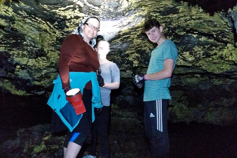
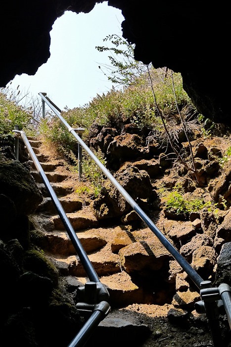
Today we’re exploring a portion of the cave that we didn’t explore the last time:

Summer_2018_Day29_005

Summer_2018_Day29_006

The floor and the ceiling are not mistake friendly:
Summer_2018_Day29_003

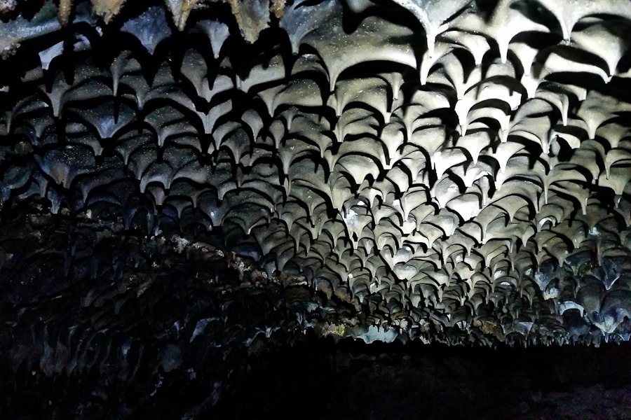
The lava made interesting patterns as it cooled:

Summer_2018_Day29_004

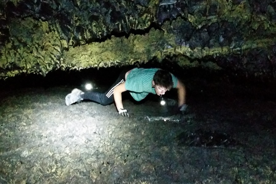
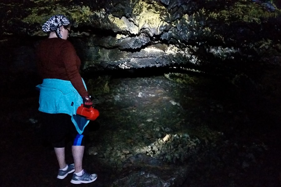
We eventually ran into reduced ceiling clearance:
Summer_2018_Day29_007

Summer_2018_Day29_008

Summer_2018_Day29_009

Summer_2018_Day29_010

We arrived at Howard’s Hole:

Summer_2018_Day29_011

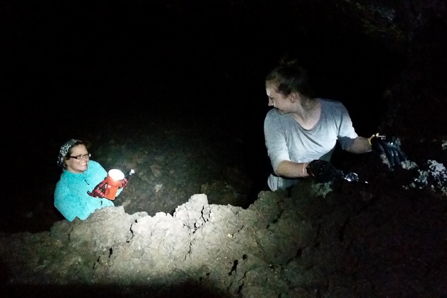
Subsequent lava flows create tunnels at multiple levels.  Howard’s Hole is a break between levels, and we used it to explore the next level up:

Summer_2018_Day29_012

At some point, B and I continued on.  We eventually arrived at “Cleopatra’s Tomb”:

Summer_2018_Day29_013

These arrows point to “The Crossover”, a one-foot high passage connecting to the part of the cave we explored last time:

Summer_2018_Day29_014

We all cut our heads or backs on the ceiling:

Summer_2018_Day29_015

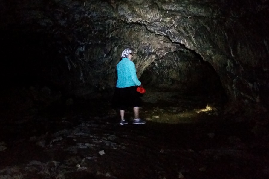
On the way back, we went up a level:
Summer_2018_Day29_016

Summer_2018_Day29_017

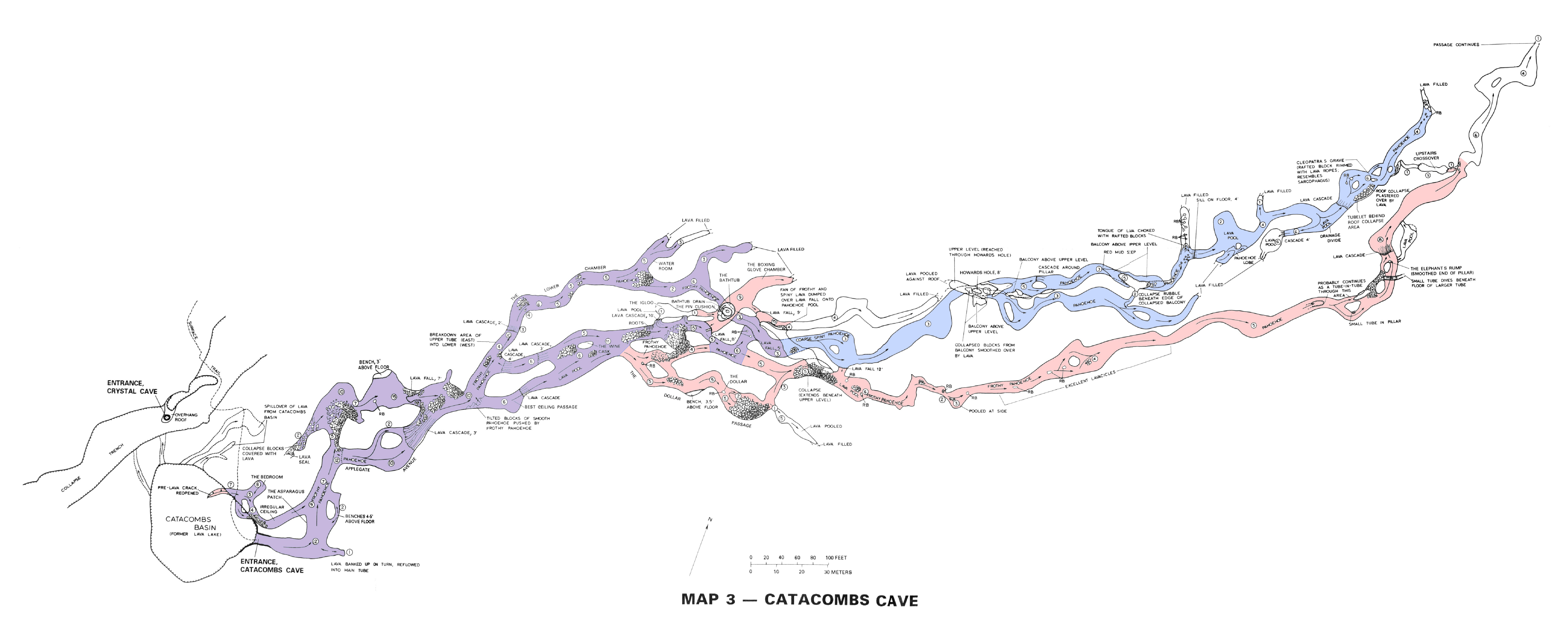
The map shows our last visit in red, our current visit in blue, and the overlap in purple.  Click the photo for a larger view:
catacombs_cave_explored-2018

Out we go:

Summer_2018_Day29_018

All of this would have been a lava tube had the ceiling not collapsed:

Summer_2018_Day29_019

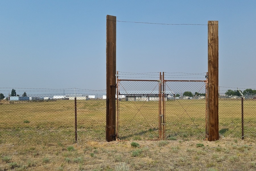
After our spelunking, we motorcycled back to the RV, stowed the motorcycles, and drove north.  We stopped to look at what’s left of Tule Lake Segregation Center. Built during World War II in response to the Japanese attack on Pearl Harbor, Tule Lake was one of ten Japanese American internment camps used to imprison over 100,000 US residents of Japanese ancestry, two-thirds of whom were US citizens.  This is the fifth internment camp we’ve visited:
Summer_2018_Day29_021

We visited the visitor center for the Tule Lake Unit of World War II Valor in the Pacific National Monument.  The Tule Lake unit preserves the Tule Lake Segregation Center, not yet open to the public:

Summer_2018_Day29_022

The facility, also used as a county museum, has one of the guard towers from the camp:

Summer_2018_Day29_023

We continued north to Oregon.  It’s good to be home:

Summer_2018_Day29_024

Trish has been working on a crochet project in the car:

Summer_2018_Day29_025

We continued east to overnight at the Shell station in Fairview, Oregon.  See the alternating yellow line on the trip map for today’s drive.
Summer 2018, Day 27: Lassen Volcanic NP

It was pretty quiet overnight here at the Walmart of Willows, California.  We thought it was snowing, but it was actually raining ash from the Carr Fire:

Summer_2018_Day27_001

We drove north to Lassen Volcanic National Park:

Summer_2018_Day27_002

Summer_2018_Day27_003

Summer_2018_Day27_004

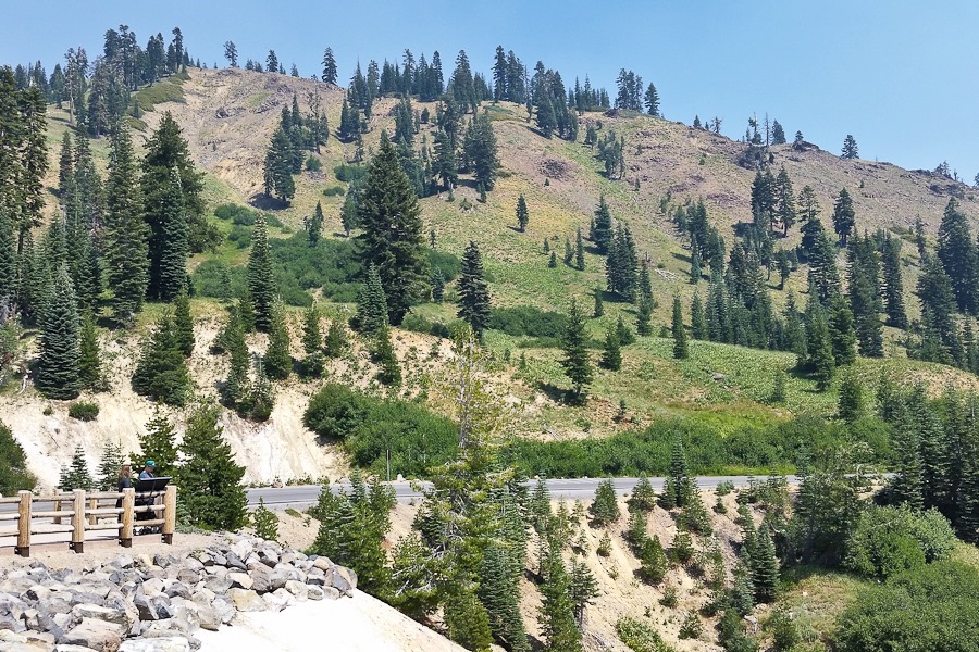
Visibility was limited here thanks to the Carr Fire:

Summer_2018_Day27_005

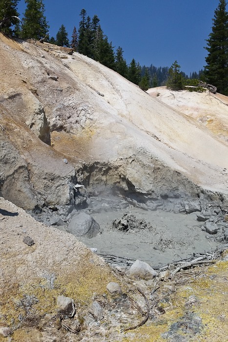
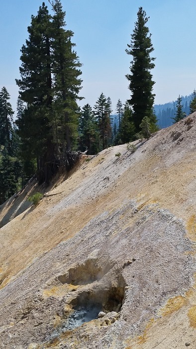
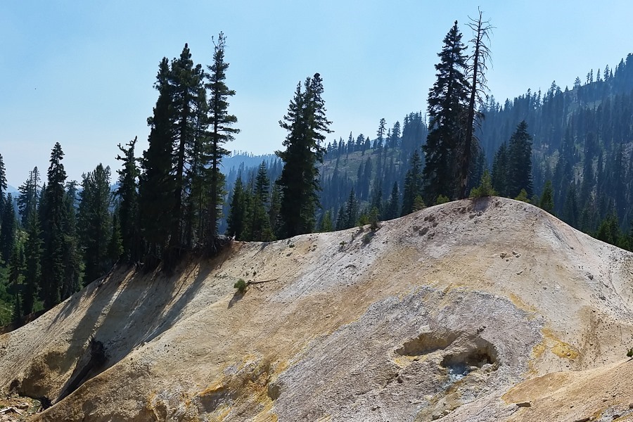
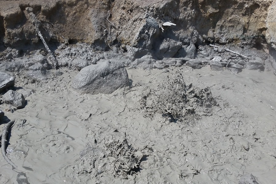
Our first stop was the Sulphur Works area.  We checked out the boiling mud pots:

Summer_2018_Day27_006

Summer_2018_Day27_007

Summer_2018_Day27_008

Summer_2018_Day27_009

Summer_2018_Day27_010

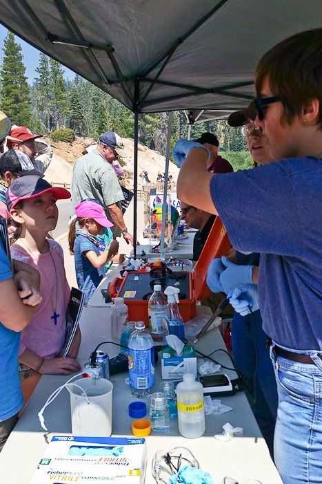
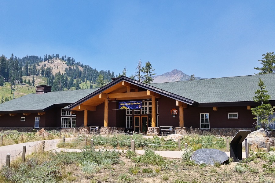
For the Lassen Dark Sky Festival, NASA scientists set up a display about Astrobiology here:

Summer_2018_Day27_011

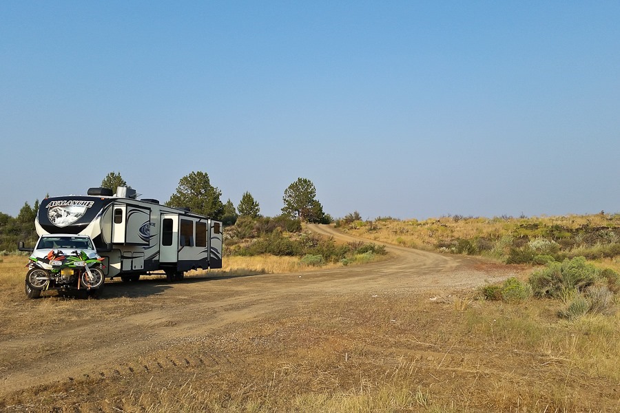
We continued north to our dispersed camping Shabbos location near Lava Beds National Monument:

Summer_2018_Day27_012

Good Shabbos!

Summer 2018, Day 25: Rosie the Riveter NHP, Pt Reyes NS, Golden Gate NRA, Ft Point NHS, SF Maritime NHP

What a difference a day makes!  We’re loving the cool weather!

Summer_2018_Day25_001

We received a package today at an Amazon Locker in Half Moon Bay.  This is great for RV travellers:

Summer_2018_Day25_002

Summer_2018_Day25_003

We left the RV in Half Moon Bay and drove into San Francisco:

Summer_2018_Day25_004

Our first stop was Rosie the Riveter/World War II Home Front National Historical Park:

Summer_2018_Day25_005

The park is located in a Ford plant used during World War II to outfit tanks.  With so many men serving in the military, 50% of the workers here during the war were women:

Summer_2018_Day25_006

Summer_2018_Day25_007

Summer_2018_Day25_008

Summer_2018_Day25_009

Summer_2018_Day25_010

Summer_2018_Day25_011

Oh boy:

Summer_2018_Day25_012

We crossed the Richmond-San Rafael Bridge:

Summer_2018_Day25_013

Our next stop was Point Reyes National Seashore:

Summer_2018_Day25_014

Point Reyes is on the ocean side of the San Andreas Fault, slowly sliding north relative to the rest of California on the mainland side of the fault.  We walked out the the Fault:

Summer_2018_Day25_015

This fence shows the location of the fence at this location after the 1906 San Francisco earthquake.  The fault slipped, causing the earthquake and displacing the land on either side of the fault:

Summer_2018_Day25_016

The blue posts show the location of the fault.  It will slip again someday:

Summer_2018_Day25_017

Summer_2018_Day25_018

We wanted to visit Muir Woods National Monument, but there’s no longer public parking there and all the shuttles were booked for the day.

We next visited Golden Gate National Recreation Area:

Summer_2018_Day25_019

Summer_2018_Day25_020

This area used to be a military base:

Summer_2018_Day25_021

A former Nike Missile site:

Summer_2018_Day25_022

There are bunkers and gun emplacements scatted all over the area:

Summer_2018_Day25_023

Summer_2018_Day25_024

Summer_2018_Day25_025

Summer_2018_Day25_026

Summer_2018_Day25_027

Summer_2018_Day25_028

Summer_2018_Day25_029

Summer_2018_Day25_030

We crossed the Golden Gate Bridge into San Francisco:

Summer_2018_Day25_031

Summer_2018_Day25_032

Summer_2018_Day25_033

We next stopped at Fort Point National Historic Site, a Civil War-era fort.  The Golden Gate Bridge was built over the fort 50 years later:

Summer_2018_Day25_034

I remember visiting the fort as a kid, but it’s now only open on weekends:

Summer_2018_Day25_035

Summer_2018_Day25_036

Summer_2018_Day25_037

We could see San Francisco and Alcatraz Island in the distance:

Summer_2018_Day25_038

We drove into San Francisco.  Parking was easier than I would have thought.  We waved at the cable cars going by:

Summer_2018_Day25_039

We walked a couple blocks to San Francisco Maritime National Historical Park:

Summer_2018_Day25_040

The visitor center was well done:

Summer_2018_Day25_041

Turns out this area was built on fill that left many abandoned ship hulls buried under the new land.  Before the fill arrived, ship owners sunk their hulls to claim what would become valuable real estate around their ship.  Sky scrapers were built on top of these hulls:

Summer_2018_Day25_042

We checked out the boats at the pier:

Summer_2018_Day25_043

Summer_2018_Day25_044

Summer_2018_Day25_045

Summer_2018_Day25_046

Summer_2018_Day25_047

Summer_2018_Day25_048

Summer_2018_Day25_049

Summer_2018_Day25_050

Summer_2018_Day25_051

Summer_2018_Day25_052

Summer_2018_Day25_053

The tug Hercules:

Summer_2018_Day25_054

Alcatraz prison:

Summer_2018_Day25_055

Summer_2018_Day25_056

Inside the tug:

Summer_2018_Day25_057

Heading back to the truck:

Summer_2018_Day25_058

Summer_2018_Day25_059

San Francisco City Hall:

Summer_2018_Day25_060

On the way back down the coast to Half Moon Bay, we saw a paraglider free-flying at Pacifica.  I texted my PPG instructor Mark, who I knew was nearby, and we visited briefly.  He offered to take me for a flight tomorrow, so I’ll be back:

Summer_2018_Day25_061

Summer 2018, Day 24: Pinnacles NP

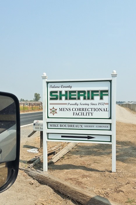
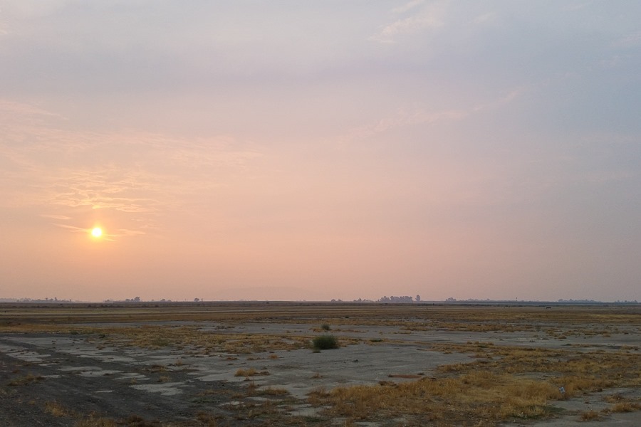
We said goodbye to Sequoia Field and the adjacent prison this morning:

Summer_2018_Day24_001

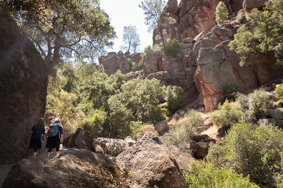
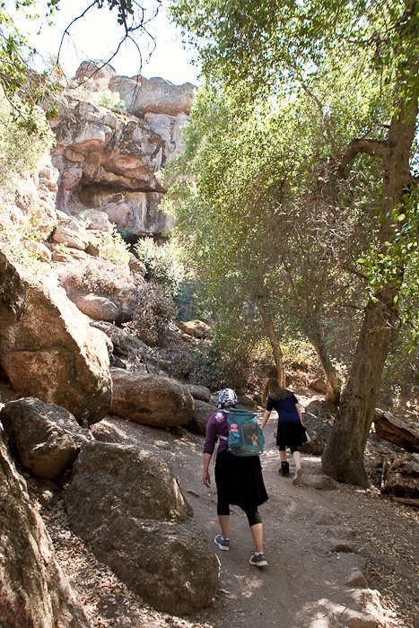
We drove west to Pinnacles National Park.  It’s over 100 degrees today, so a long hike out into the Pinnacles was out of the question.  We decided to do a short hike to a cave:

Summer_2018_Day24_002

Summer_2018_Day24_003

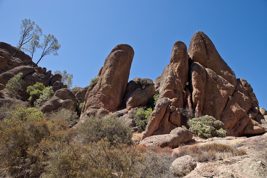
Checking out the pinnacles along the way:

Summer_2018_Day24_004

Summer_2018_Day24_005

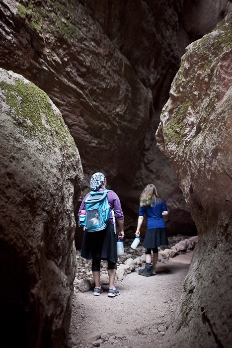
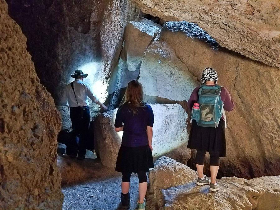
Heading into the cave:

Summer_2018_Day24_006

Here’s a photo of my father at this same location around 1970:

Climbing Charlie

Summer_2018_Day24_007

Summer_2018_Day24_008

Summer_2018_Day24_009

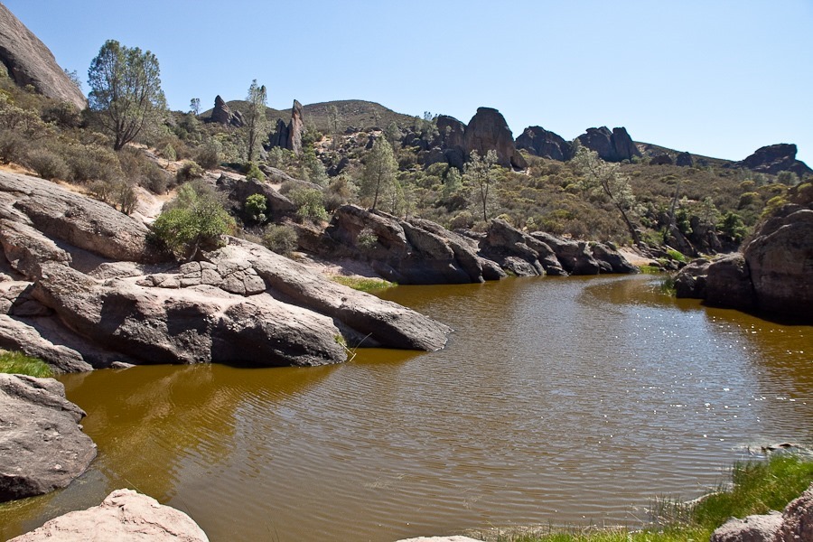
On the other end of the cave is a small reservoir:

Summer_2018_Day24_010

The staircase up to the reservoir:

Summer_2018_Day24_011

Summer_2018_Day24_012

Summer_2018_Day24_013

Back down:

Summer_2018_Day24_015

Summer_2018_Day24_016

Oreo isn’t much for spelunking:

Summer_2018_Day24_017

Summer_2018_Day24_018

Summer_2018_Day24_019

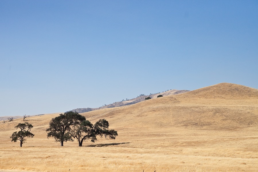
We drove northwest from Pinnacles:

Summer_2018_Day24_020

Summer_2018_Day24_021

Within an hour we went from over 100 degrees inland to low 60s on the coast at Santa Cruz.  We continued up the coast to overnight at the state campground in Half Moon Bay.  See the alternating yellow line on the trip map for today’s drive.
Summer 2018, Day 23: Sequoia NP, Kings Canyon NP

We woke up to a hazy morning thanks to the Ferguson Fire.  Visibility was about 3 miles, so I decided not to fly:

Summer_2018_Day23_001

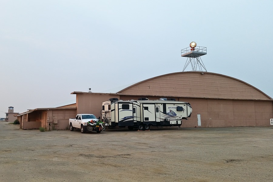
It was exciting to wake up at Sequoia Field, an airport rich in history:

Summer_2018_Day23_002

The airport is adjacent to a prison, so we checked in with the Sherrif’s department to let them know we would be here.  We didn’t realize they use this hanger to store vehicles and equipment, so we awoke at dawn to vehicles moving in and out of the door we almost blocked:

Summer_2018_Day23_003

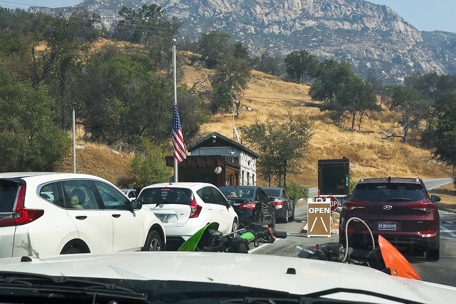
We left the RV at the airport and drove up to Sequoia National Park.  There was a bit of a line to get in:

Summer_2018_Day23_004

We checked out the visitor center:

Summer_2018_Day23_005

Somehow I ended up with the cat:

Summer_2018_Day23_006

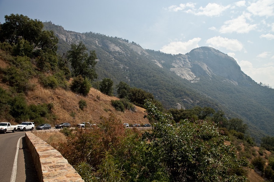
Looking down at the steep and winding road we came up:

Summer_2018_Day23_007

Waiting for road construction:

Summer_2018_Day23_008

Our first stop was the Moro Rock trailhead:

Summer_2018_Day23_009

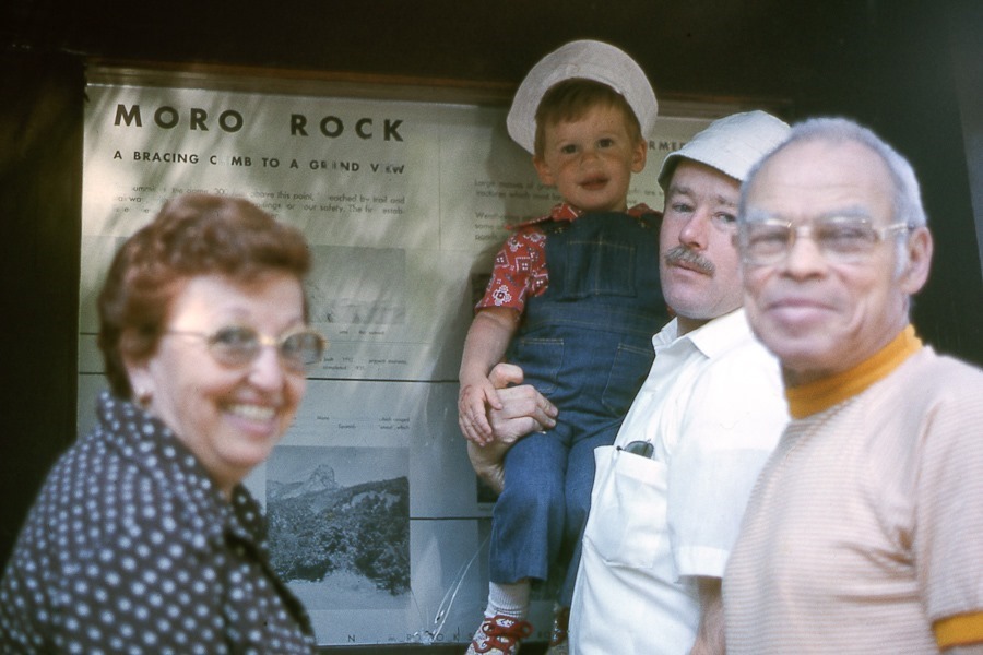
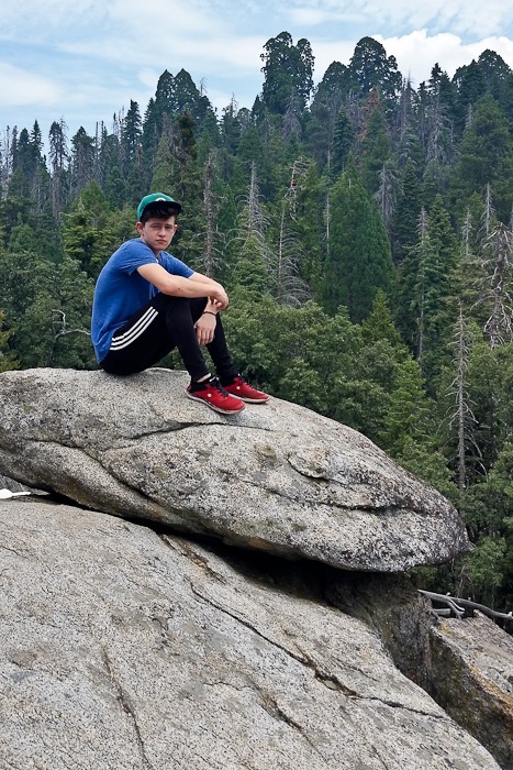
The last time I was here I was a bit younger:

img559

At least they upgraded the sign:

Summer_2018_Day23_010

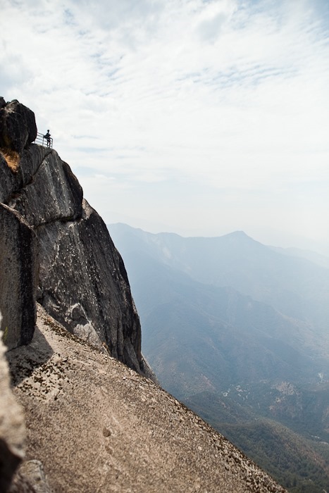
Up we go:

Summer_2018_Day23_011

Looking down at the road we came up:

Summer_2018_Day23_013

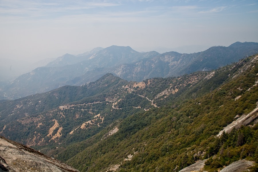
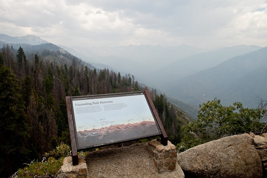
Thanks to the fire, the views are poor:

Summer_2018_Day23_014

The sign shows what we should be seeing:

IMG_4136


Summer_2018_Day23_017

Summer_2018_Day23_018

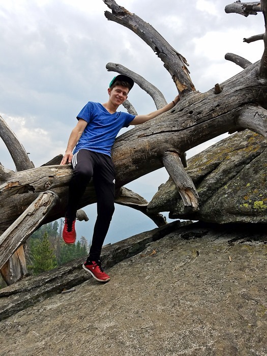
M looks out:

Summer_2018_Day23_020

Summer_2018_Day23_022

Summer_2018_Day23_023

Summer_2018_Day23_024

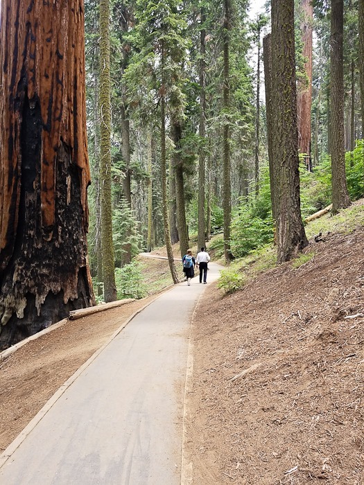
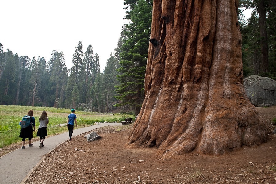
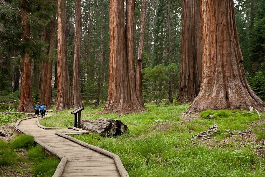
We checked out the big trees that made the park famous.  The Giant Sequoia is the largest living organism by volume on Earth:

Summer_2018_Day23_025

Summer_2018_Day23_026

Summer_2018_Day23_027

Summer_2018_Day23_028

Summer_2018_Day23_030

Summer_2018_Day23_031

Summer_2018_Day23_032

Summer_2018_Day23_033

Summer_2018_Day23_034

IMG_4142

We visited the General Sherman tree, the largest living organism on Earth.  It is 274 feet high, has a volume of over 52,000 cubic feet, and is estimated to weigh over 2.4 million pounds:

IMG_4175

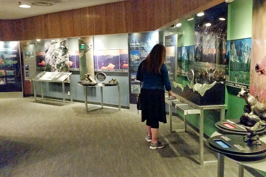
We next visited the visitor center at Kings Canyon National Park:

20180730_162549

The visibility is so poor we decided not to drive down into Kings Canyon, so we headed back to the RV:

20180730_190757

Our neighbors for the evening:

20180730_200012