Day 964: Chaco Culture National Historical Park

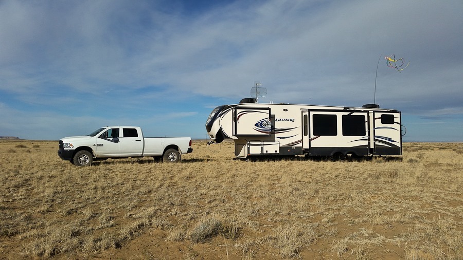
This morning was pretty windy, so I didn’t fly:
Day_964_01

Trish made another tasty breakfast:

Day_964_02

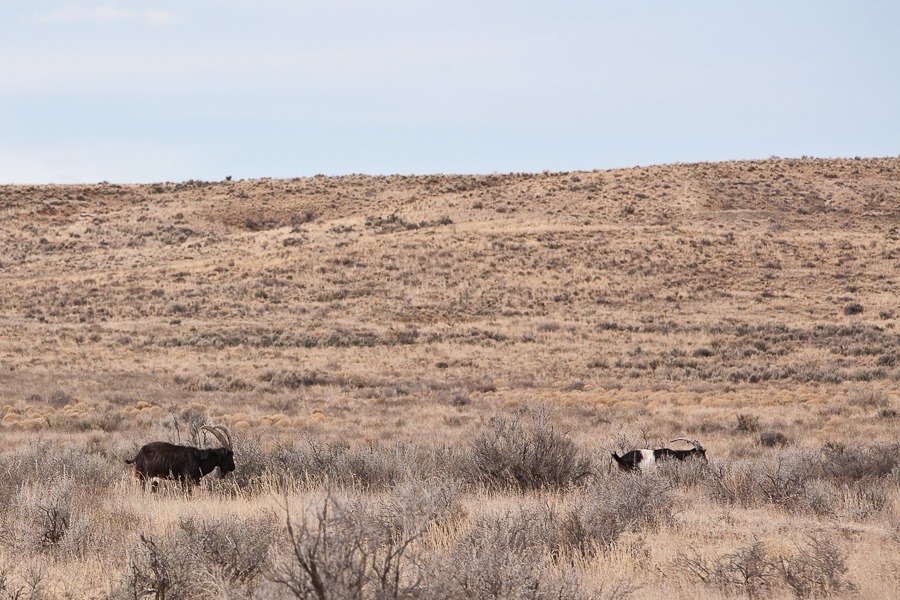
We took the truck and started driving towards Chaco Culture National Historical Park.  This route is not officially maintained, and as we followed faint tracks through the grasslands, we passed some open range goats:
Day_964_03

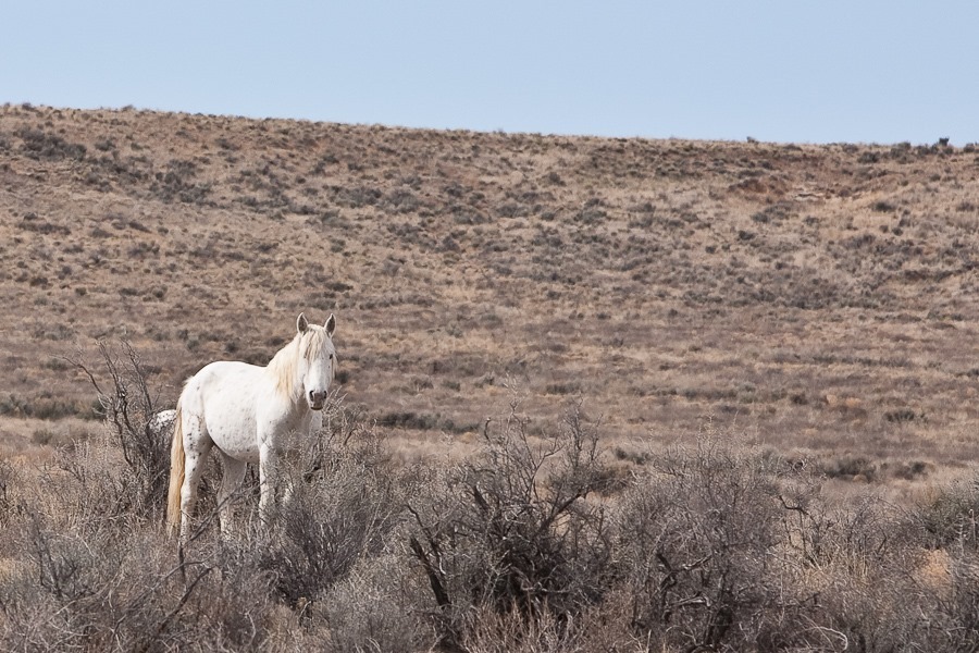
We also saw a number of wild horses:

Day_964_04

This area has a number of abandoned structures built by homesteaders and ranchers of bygone days:

Day_964_05

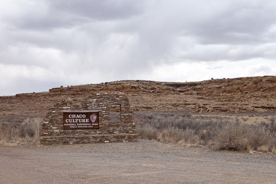
We at last arrived at Chaco Culture:

Day_964_06

Fajada Butte:

Day_964_07

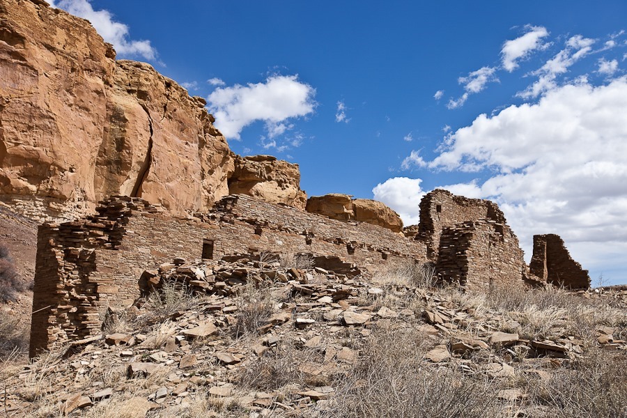
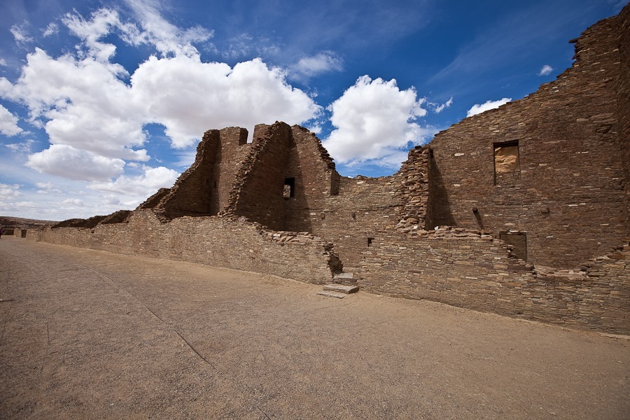
Chaco Culture preserves the central population center for the Ancestral Puebloan people. From 850 to 1150, the Ancestral Puebloans built dozens of Great Houses here.  The first site we visited was Hungo Pavi, occupied from 1000 to 1250:

Day_964_09

Day_964_10

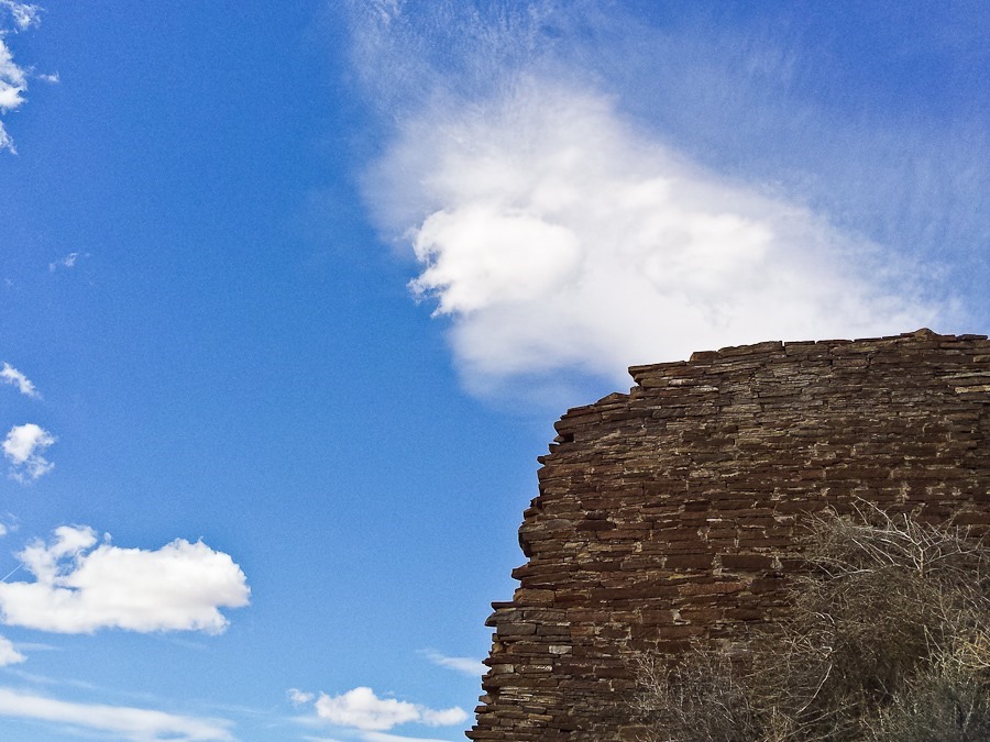
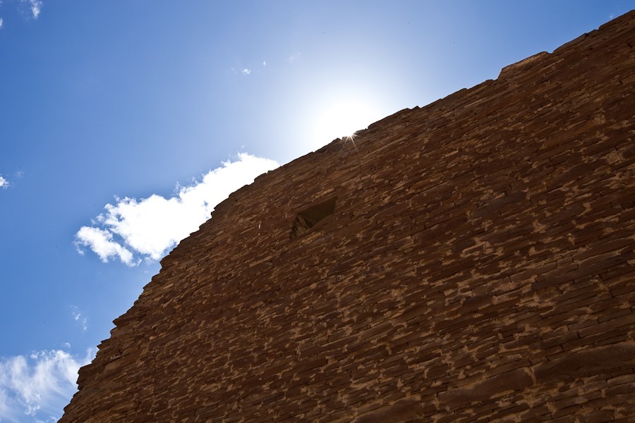
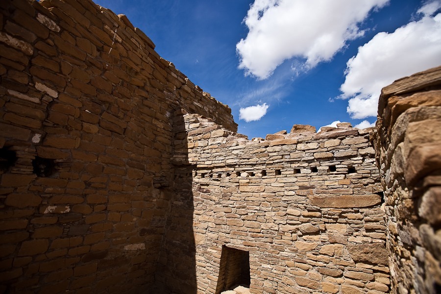
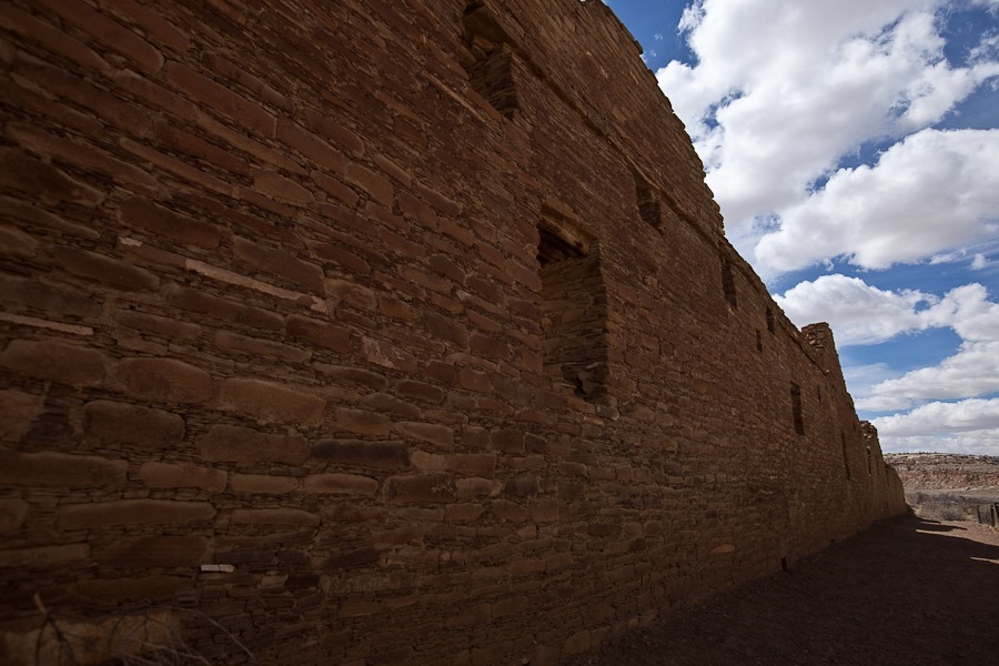
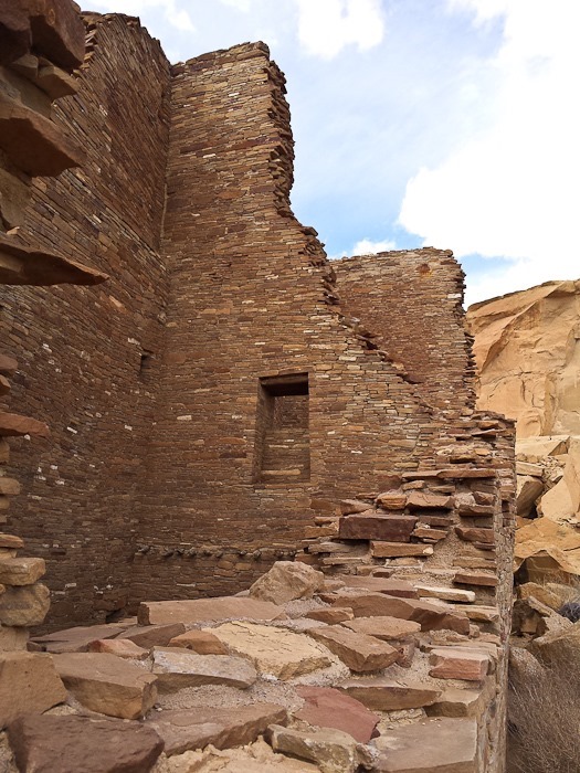
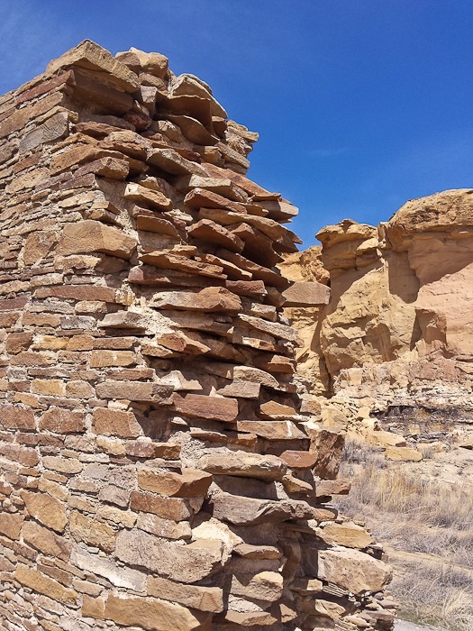
By the 11th century, the Ancestral Puebloans were building walls using rough inner “fill” stone and carefully cut outer “veneer” stone, creating smooth-surfaced walls:
Day_964_11

Day_964_12

Day_964_13

Day_964_14

Day_964_15

To transport timber from distant mountains, roads were built.  The staircase used to descend to the canon floor is still visible:

Day_964_16

Day_964_17

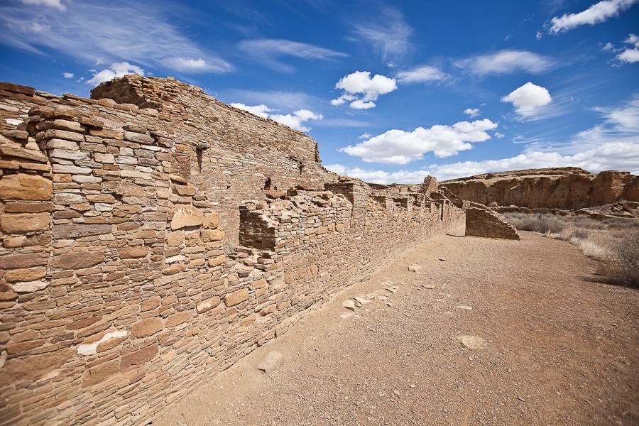
We next visited the Great House Chetro Ketl, occupied from 950 to 1950:
Day_964_19

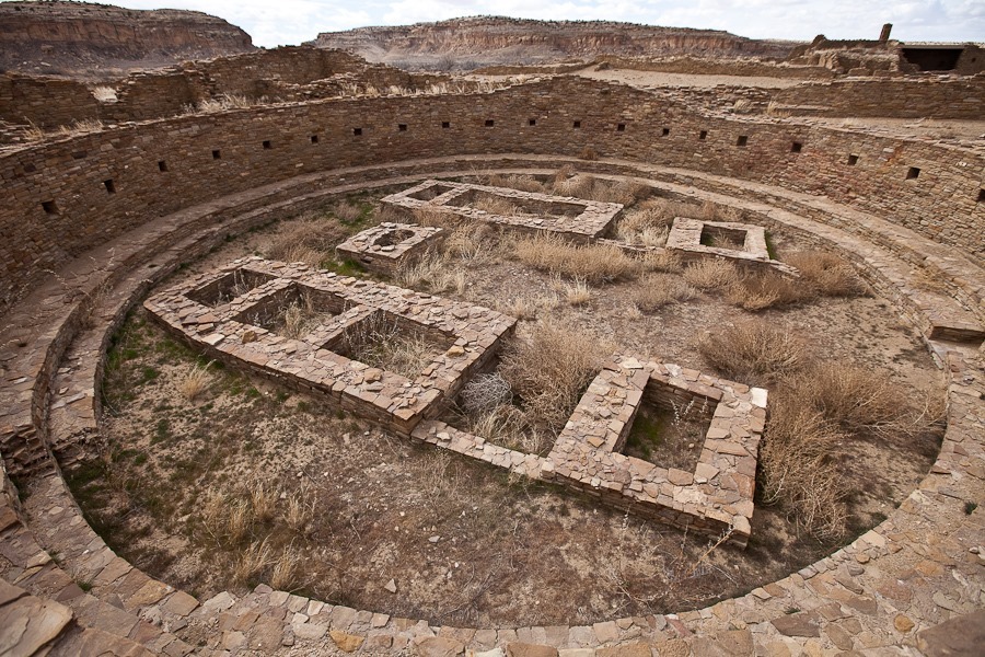
A great kiva:

Day_964_20

Day_964_21

This underground kiva has been excavated and reinforced:

Day_964_22

Day_964_23

Day_964_24

Day_964_25

Day_964_26

This wall its original wooden porch along its length until the early 1900s, when it was scavenged by homesteaders:

Day_964_27

Day_964_28

Day_964_29

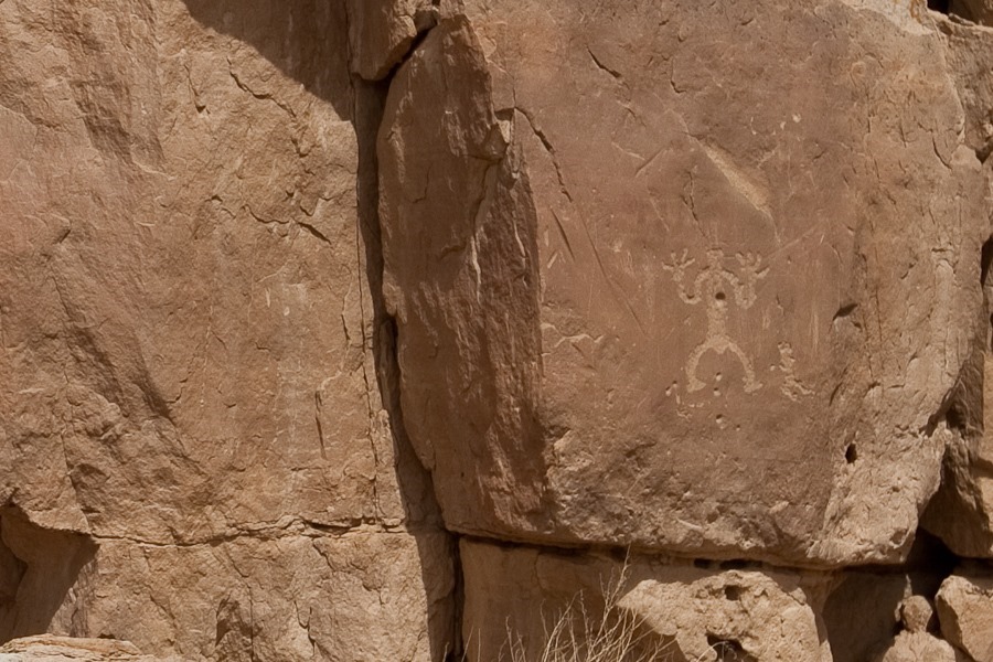
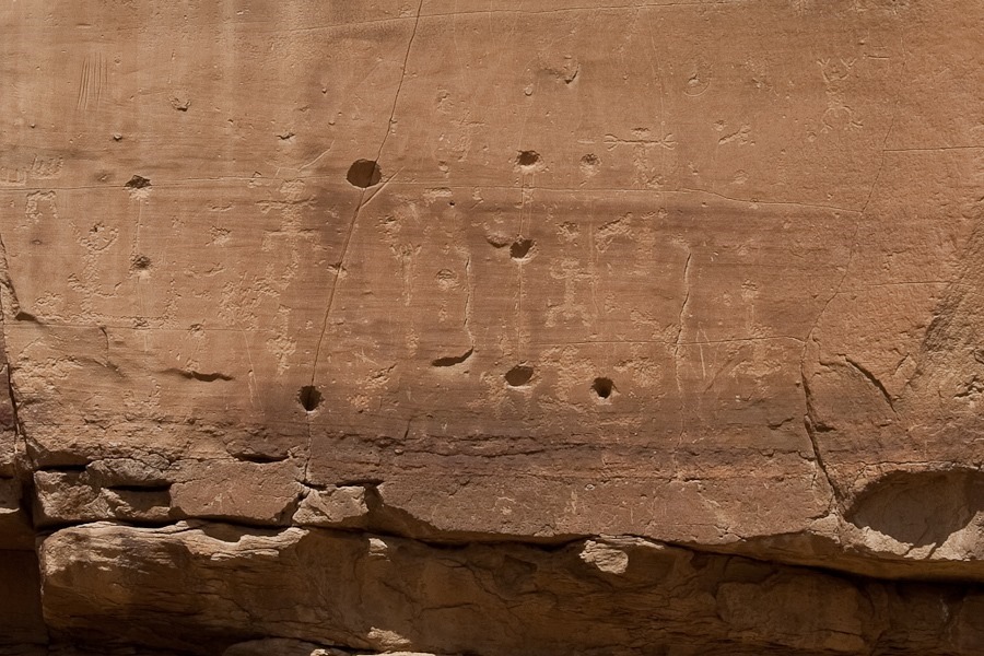
There are a number of petroglyph sites here:
Day_964_30

Day_964_31

Day_964_32

Day_964_33

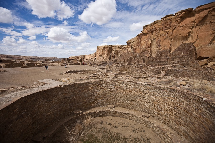
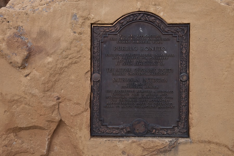
Our last stop was Pueblo Bonito, the largest Great House at Chaco Culture:
Day_964_34

Day_964_35

Day_964_36

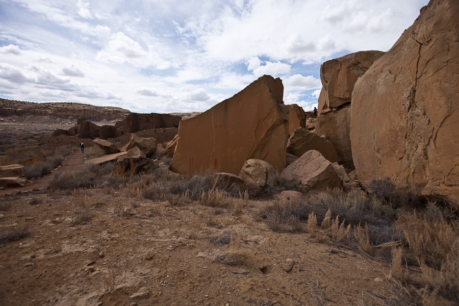
This massive rock-fall crushed 30 excavated rooms.  A thousand years ago, Ancestral Puebloans built a retaining wall in a failed attempt to support what was once a massive slab peeling off the cliff face behind the Great House:
Day_964_37

Views of Pueblo Bonito:

Day_964_38

Day_964_39

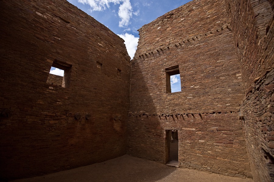
The Ancestral Puebloans tapered their wall thickness to allow lower stories to better support upper stories:

Day_964_40

Day_964_41

Day_964_42

The precision of their walls is impressive:

Day_964_43

Great kivas at Pueblo Bonito:

Day_964_44

Day_964_45

Day_964_46

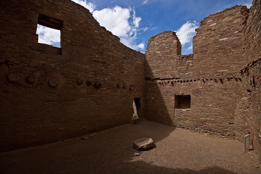
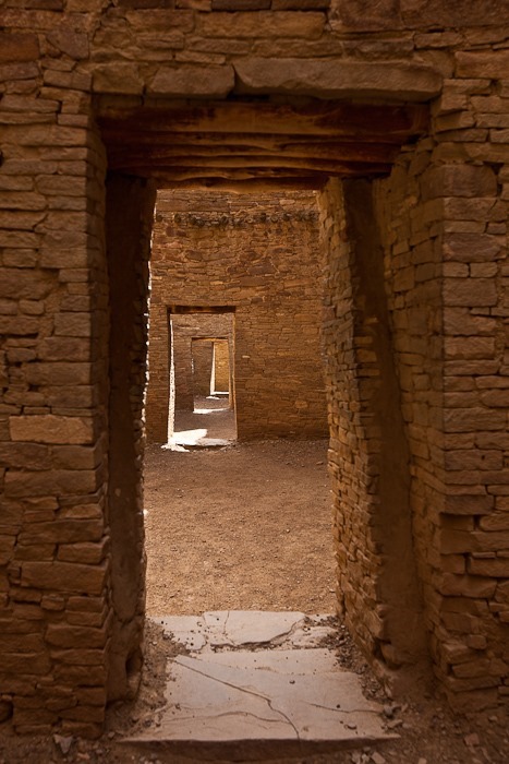
We went inside the Great House:
Day_964_47

Day_964_48

Day_964_49

Day_964_50

Day_964_51

Day_964_52

This room still has its original wooden ceiling:

Day_964_53

Day_964_54

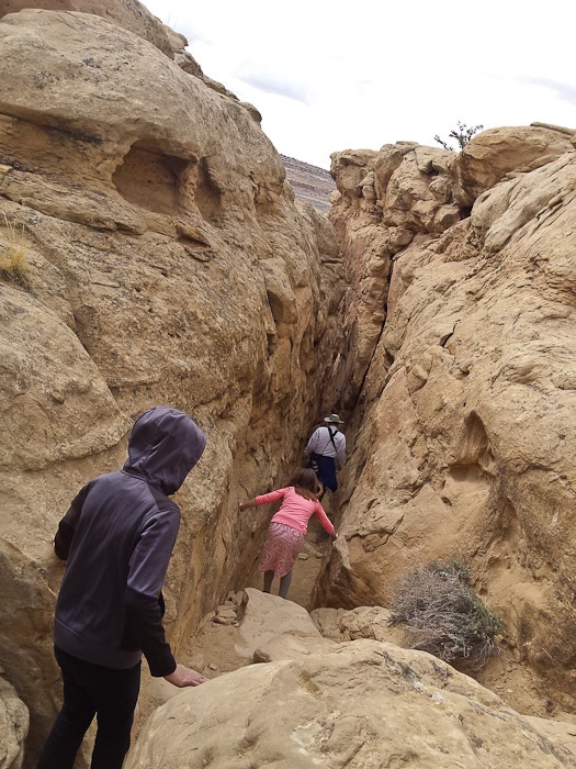
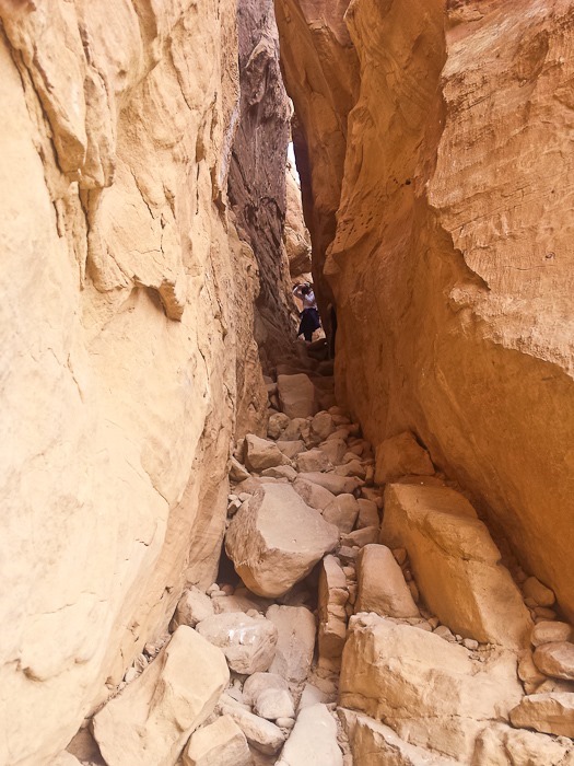
We decided to hike up onto the canyon rim so we could look down on Pueblo Bonito.  The hike goes up through this crevice in the canyon wall:

Day_964_55

Trish photographed me looking down at her:
Day_964_57

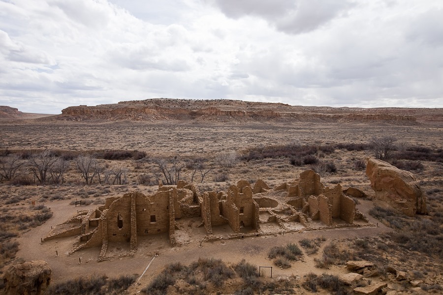
From the top, we could look down into the ruins of a smaller building:

Day_964_58

Day_964_59

Day_964_60

These dark protrusions are fossilized burrows of a shrimp-like animal:

Day_964_61

Day_964_62

After a bit over a mile, we could look down on Pueblo Bonito:

Day_964_63

Day_964_64

Day_964_65

We headed back down:

Day_964_66

Day_964_67

Day_964_68

The kids completed their Junior Ranger workbooks and received their badges:

Day_964_69

Day_964_70

When we returned to the RV, the sky was quite dark, and then the sun came out below the clouds, making the ground brighter than the sky:

Day_964_72

Day 958: Bandelier NM, Valles Caldera NP

Today my parents came by the RV and we headed up to Bandelier National Monument:

Day_958_01

Day_958_02

We watched the visitor center film and then checked out the displays:

Day_958_03

Day_958_04

Day_958_05

Next we walked the trail that leads out to the dwellings:

Day_958_06

Day_958_07

The naturally soft ash layer was used by Native Americans for housing.  They both lived in caves and in dwellings built against the cliff wall:

Day_958_08

We walked through and then onto a ledge above Tyuonyi Pueblo, built in the late 1300s and thought to have had several hundred residents:

Day_958_09

This model from the visitor center shows what the pueblo probably looked like when it was in use.  Rooms had no doors or windows.  All access was through holes in the roof:

Day_958_10

Day_958_11

We followed this path up against the cliff face to view the caves in which some Indians lived:

Day_958_12

Day_958_13

I climbed up into one of the caves:

Day_958_14

Day_958_15

The kids and Bubbe came up too:

Day_958_16

Day_958_17

Day_958_18

Day_958_19

Day_958_20

This dwelling is called the Long House:

Day_958_21

The lines of holes in the cliff wall are sockets for floor and ceiling beams:

Day_958_22

Day_958_23

Day_958_24

Day_958_25

The kids completed their Junior Ranger workbooks and received their patches.  M received the Deputy Ranger patch for his age group:

Day_958_26

B received the Junior Ranger patch:

Day_958_27

We continued west to visit Valles Caldera National Preserve, which preserves the Valles Caldera, a volcanic caldera almost 15 miles across.  The two eruptions that created the caldera ejected 500 times the material ejected by the 1980 Mount St. Helens eruption.

We stopped at an overlook inside the south rim.  Looking north, the mountains in the distance are lava domes inside the caldera that were created by later eruptions.  The northern rim of the caldera isn’t even visible from here:

Day_958_28

Day_958_29

We stopped by the visitor center:

Day_958_30

A map of the caldera.  The photos above showed the Valle Grande area of the caldera, which in in the lower right corner of the caldera:

Day_958_31

In a not to the preserve’s ranching past, the Junior Ranger program here is called Junior Cowhand, and the kids had to do a variety of activities including roping this horse:

Day_958_32

The kids handed in their worksheets and received their badges:

Day_958_33

Day_958_34

Parting shots of the caldera:

Day_958_35

Day_958_36

On our way back, we photographed Camel Rock.  I had thought that Camel Rock was only the toadstool-like formation, but I now see that the toadstool is the head of the camel and the hill to the left is the camel’s body:

Day_958_37

See the trip map for today’s drive.

Day 956: Purim Prep in Santa Fe

Shabbos at the Camel Rock Casino was restful and quiet. 

Today we assembled our shalach manos for Purim:

Day_956_01

Day_956_02

Trish organized all the items she’s crocheted in the last few weeks:

Day_956_03

My parents came up from Las Vegas to spend a few days with us here in Santa Fe.  We spent a couple hours chatting in front of their hotel:

Day_956_04

My parents brought with them the Junior Ranger badges for those sites we had visited in the past and just now received the badges.

We’ve crossed the Juan Bautista de Anza National Historic Trail several times on our trip, so we submitted the workbooks and received the badges:

Day_956_05

When we visited Ellis Island and the Statue of Liberty this past autumn, those sites had run out of badges, so we received them now.  Since both sites are part of the same NPS unit, we received two identical badges, even though each site had its own Junior Ranger workbook:

Day_956_06

We visited Fort Pulaski in 2012 but didn’t hand in the workbooks during our visit:

Day_956_07

We picked up a few packages and filled up our water in Santa Fe and headed back to the RV.  M received his much-anticipated R/C truck today, but more about that tomorrow:

Day_956_09

Day 953: Exploring Santa Fe

This morning Trish surprised us with another successful culinary experiment:

Day_953_01

There’s always something:

Day_953_02

We’ve traditionally stored our leveling blocks in their included storage bags.  The bags recently fell apart, so we switched to straps.  A couple days ago we realized that the blocks fit perfectly on their sides in their compartment without bags or straps:

Day_953_03

We dropped of the RV at a tire shop to replace the tire that we punctured on Day 932.  I had used a plug kit to seal the hole, but it started to leak.  The tire shop suggested that we replace the tire as it had minor belt damage around the hole, so we decided to play it safe and replace the tire.

We had a few hours until the tire was ready, so we decided to try complete the Junior Wagon Master workbooks we picked up at Fort Union National Monument.  The workbook, nearly 100 pages long, contains activities for the entire Santa Fe Trail, divided into four geographical sections.  Today we worked on the “Western Terminus” section.

Following the instructions in the workbook, our first stop was this sculpture of travelers on the Santa Fe Trail:

Day_953_04

Day_953_05

Our next stop was the Santa Fe National Cemetery, where we needed to copy the inscription on the tombstone of Charles Bent, first Governor of the New Mexico Territory.  In 1847, he was scalped alive and then murdered during the Taos Revolt.  Bent’s tombstone is to the right of the large obelisk:

Day_953_06

Our last stop was the Santa Fe Plaza, where we had to identify two mistakes on this marker for the western terminus of the Santa Fe Trail:

Day_953_07

Santa Fe Plaza:

Day_953_08

One side of the plaza is bounded by the Palace of the Governors.  Built in 1610, it’s the oldest continuously occupied public building in the US:

Day_953_09

Since the 1930s, Native Americans have sold their homemade wares on the porch of the Palace:

Day_953_10

The kids completed their Junior Wagon Master workbooks, and we tried to have them checked at the Palace of the Governors, but they only had one patch left:

Day_953_11

We drove to the Santa Fe NPS office, where we received a second Junior Wagon Master patch from the author of the Junior Wagon Master workbooks, as well as a general patch for the Santa Fe Trail:

Day_953_12

We returned to the tire shop, where I removed a wheel to have the tire shop do a camber rotation.  The rear driver-side tire wears on the inside edge due to a poorly aligned or less-than-straight axle.  The solution is to have the tire removed from the wheel and re-mounted the other way, so that for the second half of its life the tire can wear down what used to be the other, unworn edge.  Here I’m remounting the rotated tire:

Day_953_13

Next we stowed the new tire that replaced the punctured tire:

Day_953_14

We tried really hard to find a place in Santa Fe to park for Shabbos, but none of the area synagogues could host us, so we drove north about ten miles to overnight at the Camel Rock Casino on the Tesuque Pueblo.  After dinner we played a rousing game of Mexican Train dominoes:

Day_953_15

See the trip map for today’s drive and our current location.

Day 952: Fort Union National Monument

This morning, we left the Walmart of Las Vegas, New Mexico after another great breakfast by Trish:

Day_952_01

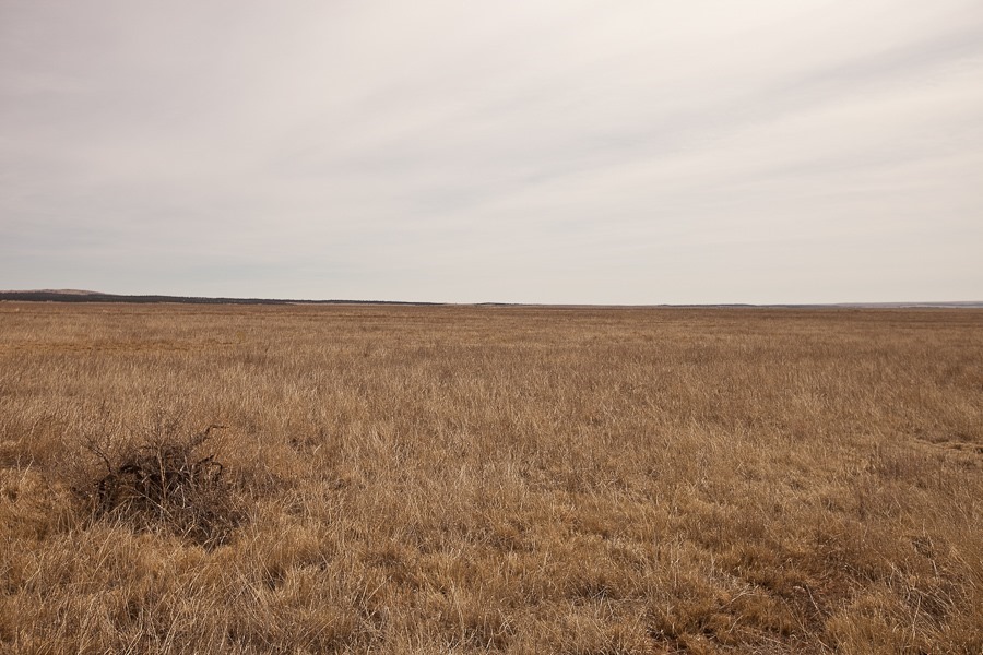
We drove east, crossing the southern edge of the Rocky Mountains and finding ourselves in the aptly named Great Plains.  If I squint, I’m pretty sure I can see St. Louis.  I exaggerate, but after spending months in the West, this feels very, very flat:

Day_952_02

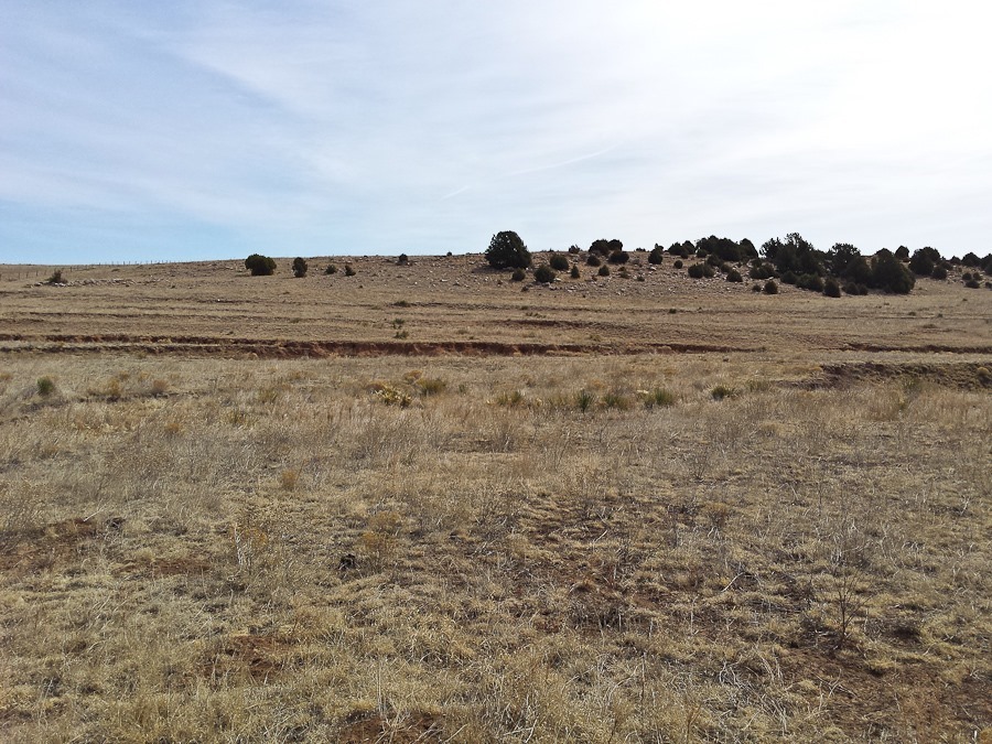
The linear depression in the distance across the photograph is the Santa Fe Trail:

Day_952_03

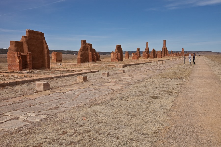
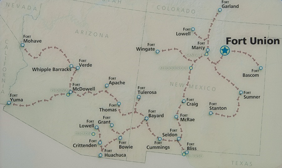
We continued northeast to Fort Union National Monument. The fort was built to subdue Indian tribes and protect travellers on the Santa Fe Trail.  Built in the 1850s, the fort met a sudden demise with the obsolescence of the Santa Fe Trail due to the arrival of railroad service from the East.  Suddenly a fort with nothing to guard, it was abandoned by the Army.

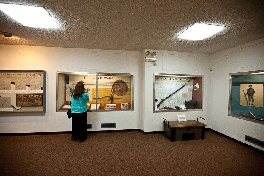
We checked out the visitor center:

Day_952_04

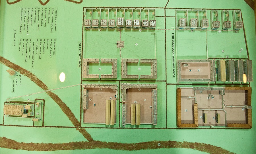
A model of the fort, in its day the largest military installation in the West:

Day_952_05

The hospital building is adjacent to the visitor center:

Day_952_06

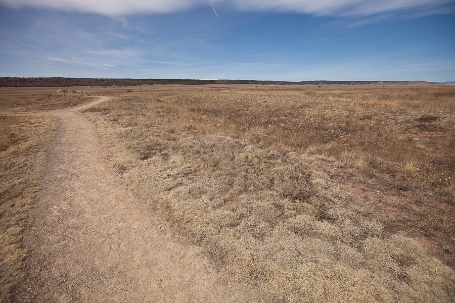
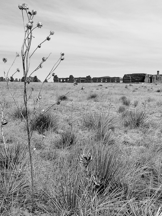
Our first stop was the second fort site.  Little more than earthworks, it was designed to repel a Confederate assault.  Southern forces did invade and conquer southern New Mexico, but this site never saw action, as Union forces from here deployed to the southwest where the Confederates were turned back at the Battle of Glorieta Pass.  The contours of the fort are faintly visible:

Day_952_07

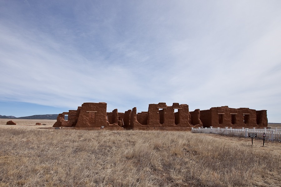
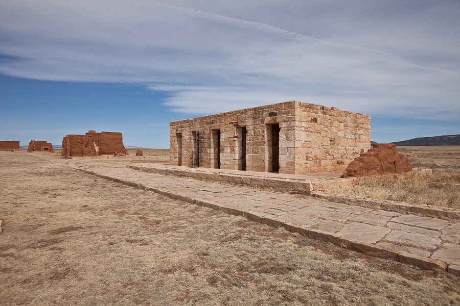
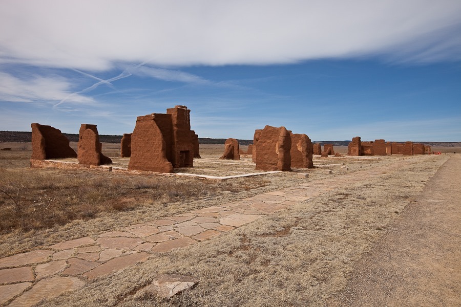
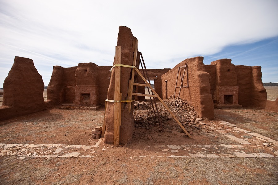
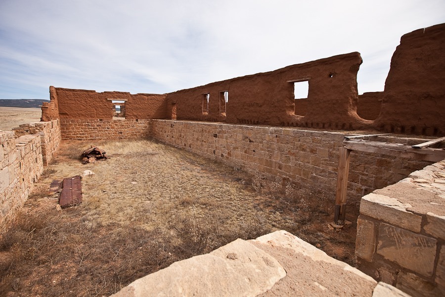
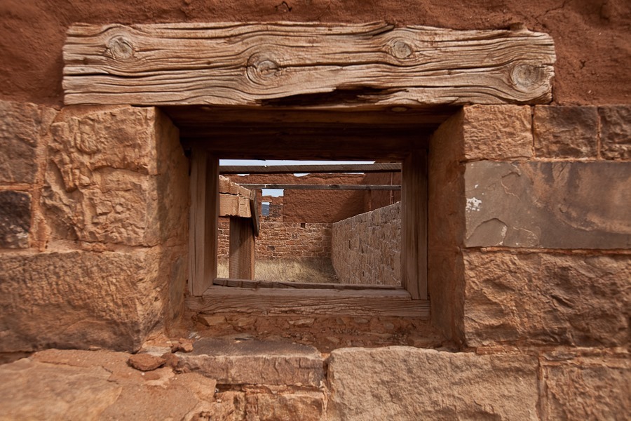
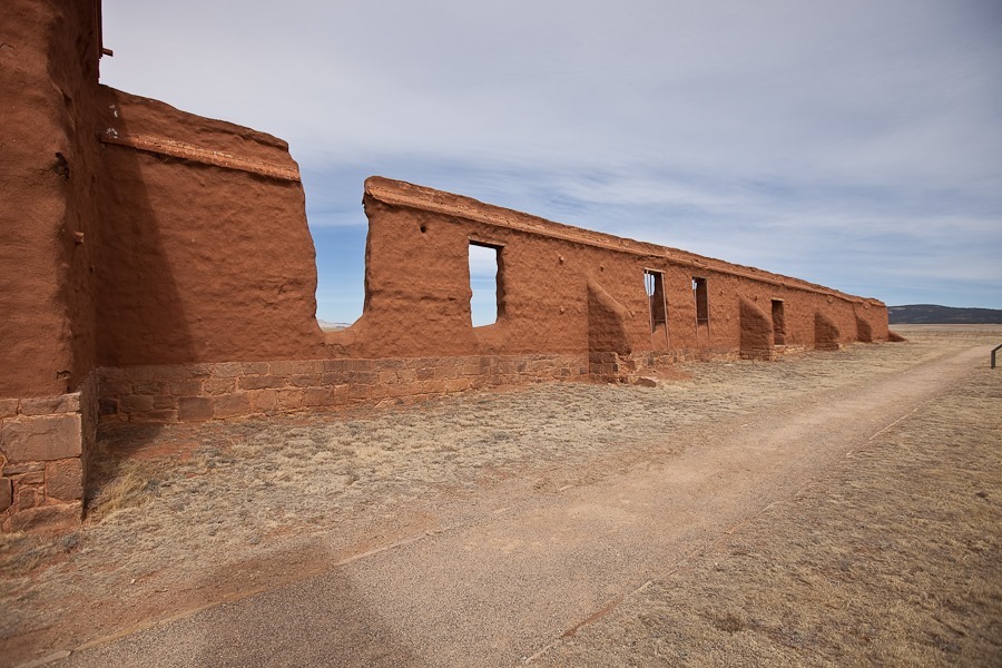
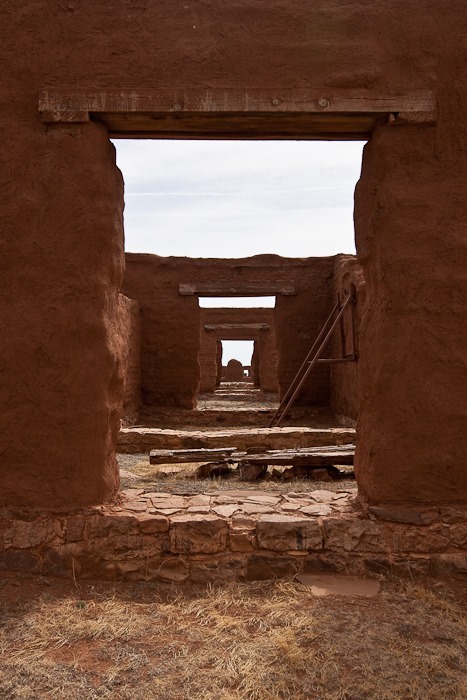
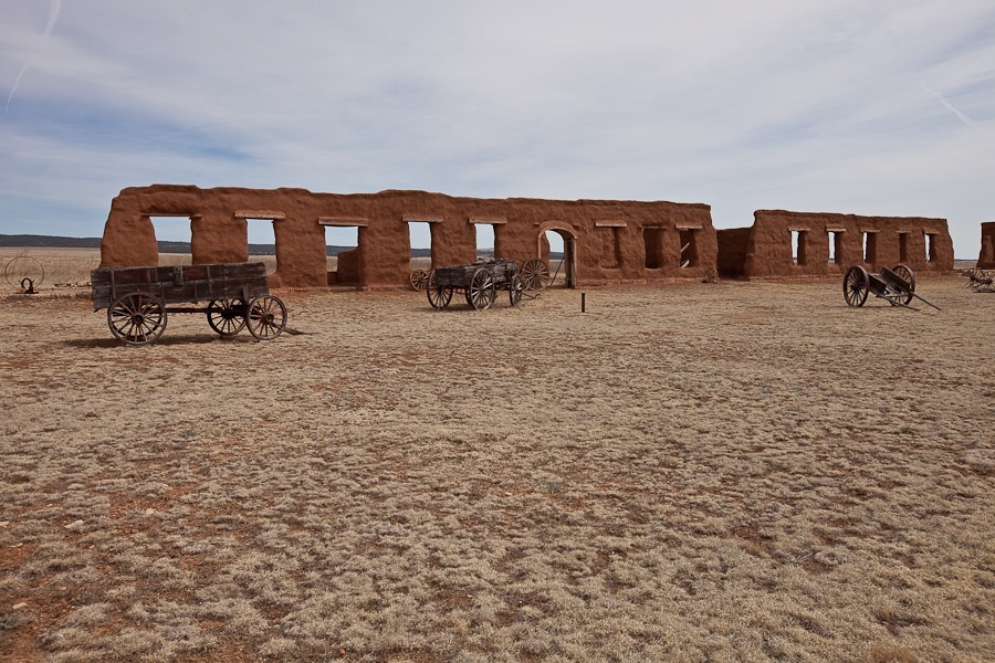
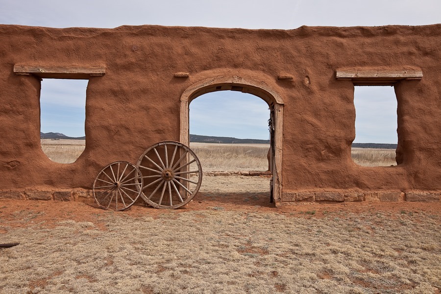
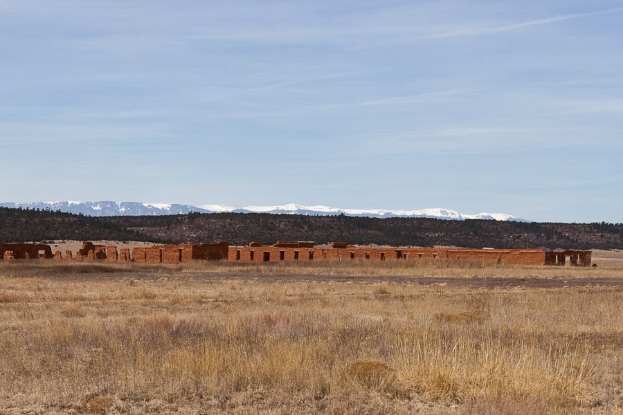
The third fort was built of adobe, and has fared better than the first two forts:

Day_952_08

Officer barracks:

Day_952_09

Day_952_10

The prison:

Day_952_11

Day_952_12

Day_952_13

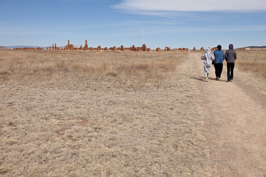
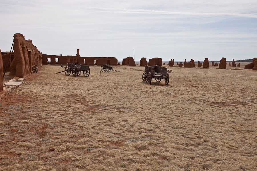
Fort Union was the logistical hub for military control of the Southwest.  The fort was both a military post for regional defense and a military depot for distribution of supplies throughout the region:

Day_952_14

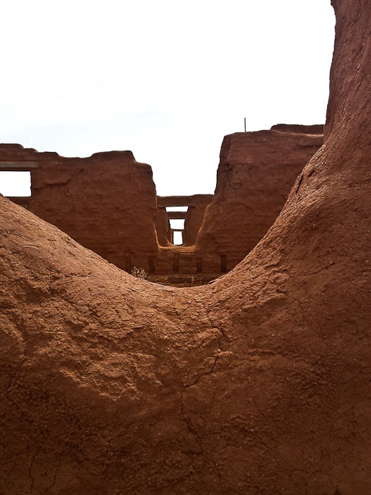
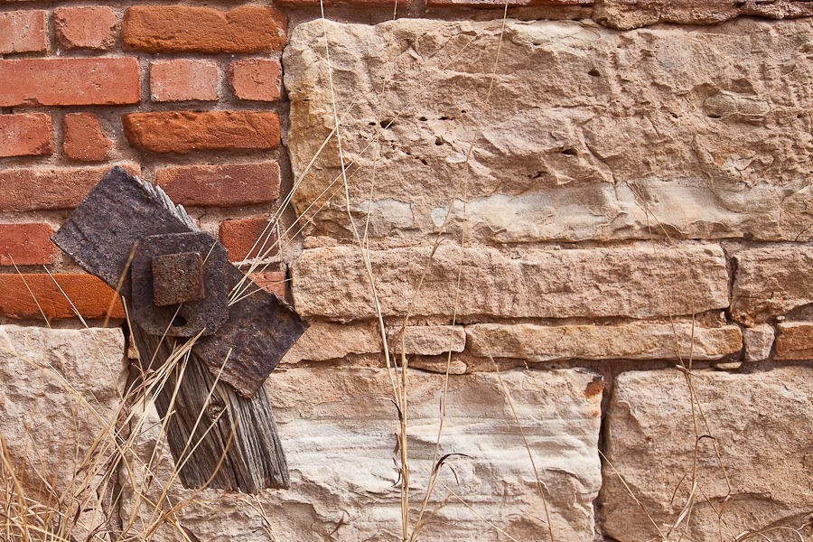
Some walls require heroic measures to save them from collapse.  After over 125 years, some of the mud walls are starting to fail:

Day_952_15

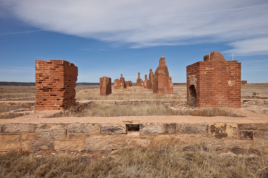
A warehouse in the depot:

Day_952_17

Day_952_18

Day_952_19

Day_952_20

Day_952_21

Day_952_22

Day_952_23

Day_952_24

Day_952_25

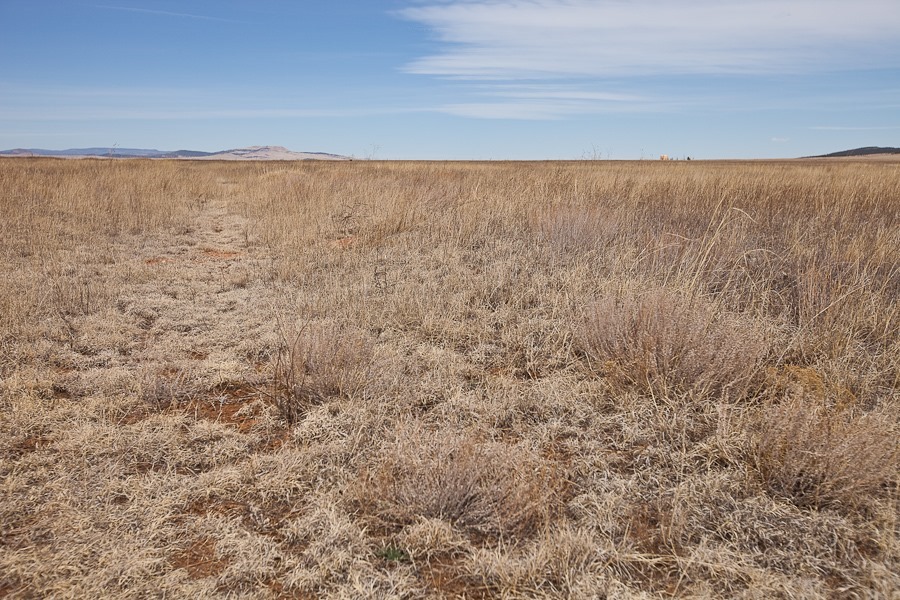
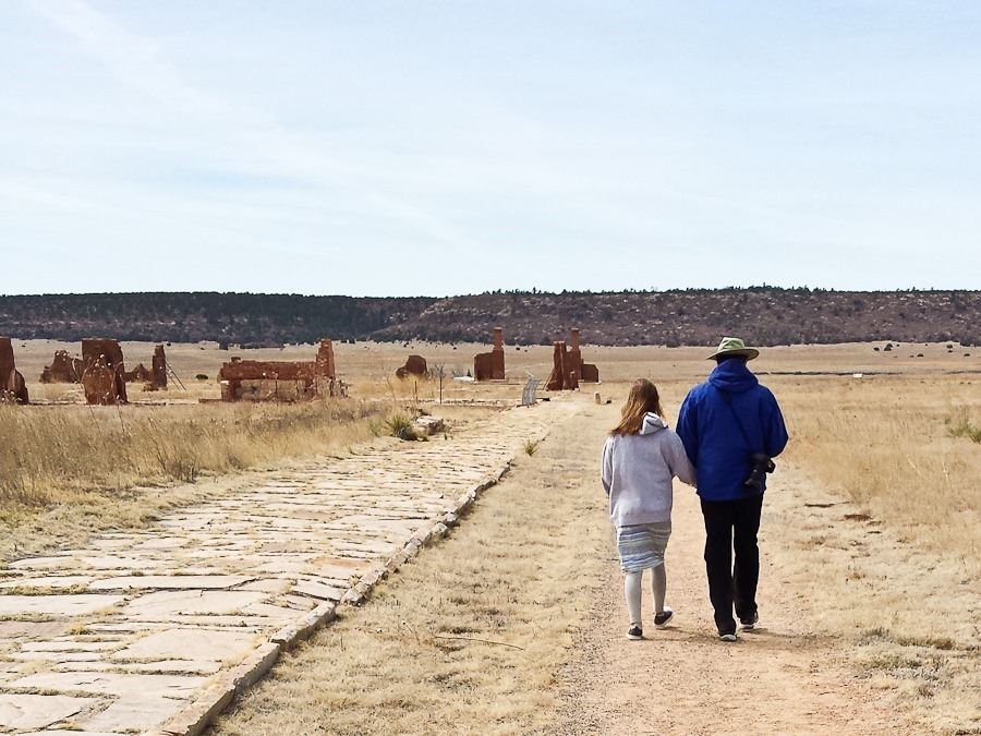
The faint trail along the left edge of the photograph is the Santa Fe Trail:

Day_952_26

Day_952_27

Day_952_28

Day_952_29

Day_952_30

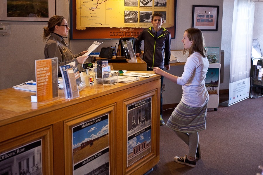
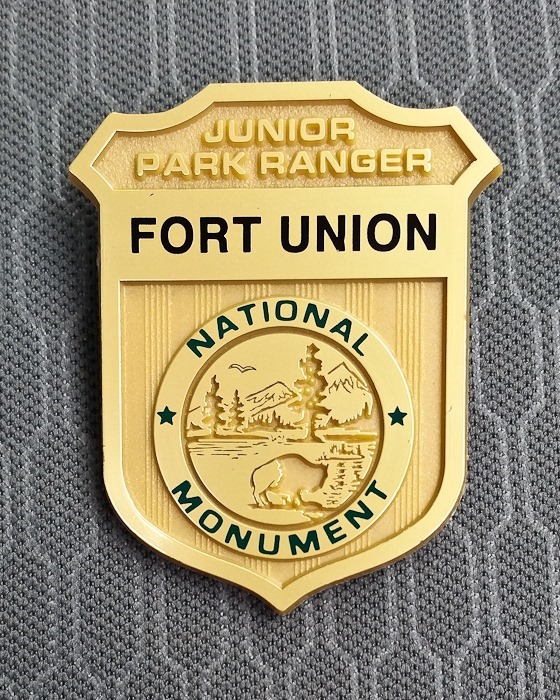
The kids completed their Junior Ranger workbooks and received their badges:

Day_952_31

Day_952_32

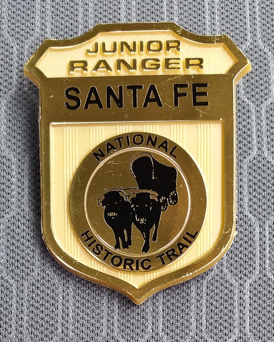
They also completed the workbooks for the Santa Fe National Historic Trail:

Day_952_33

Saying goodbye to the fort, we drove west towards Santa Fe.  Trish made a few more owl hats during the drive:

Day_952_34

We continued west to overnight at the Walmart of Santa Fe, New Mexico.  See the trip map for today’s drive and our current location.