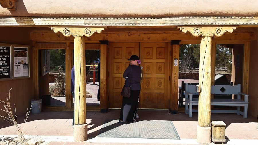
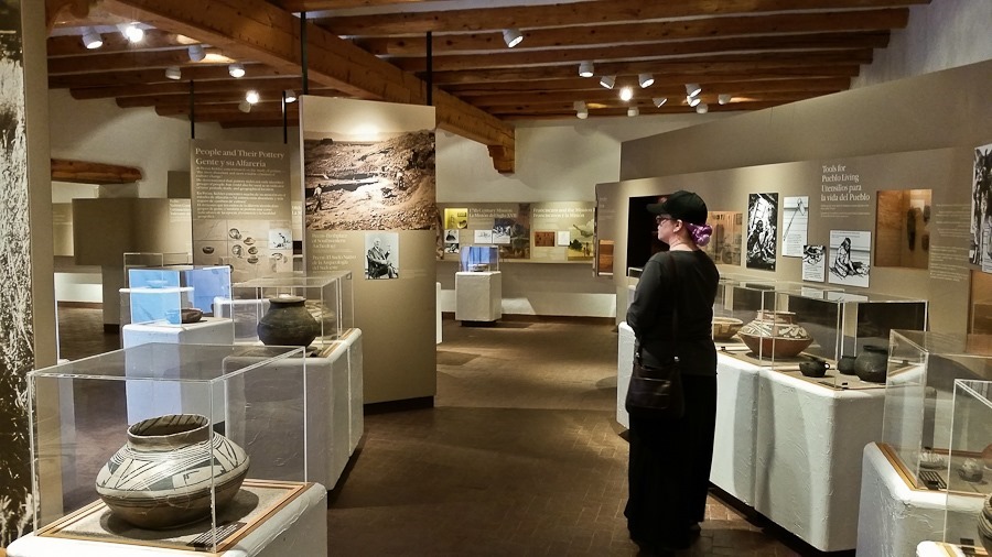
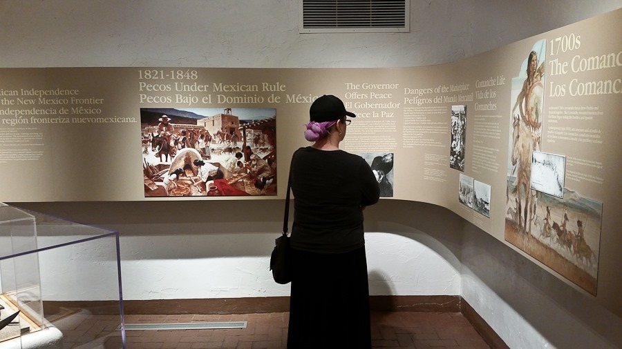
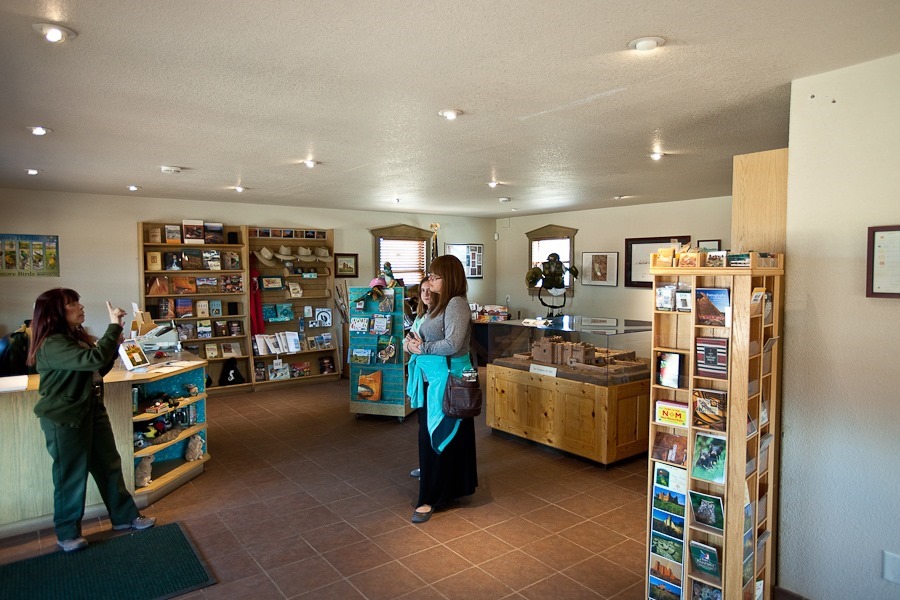
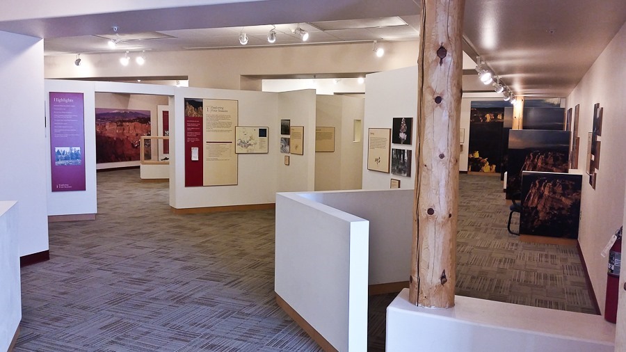
After watching the park video, we went through the visitor center’s exhibit space:
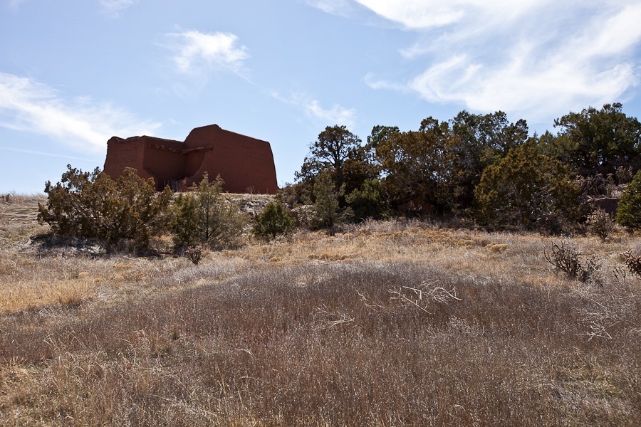
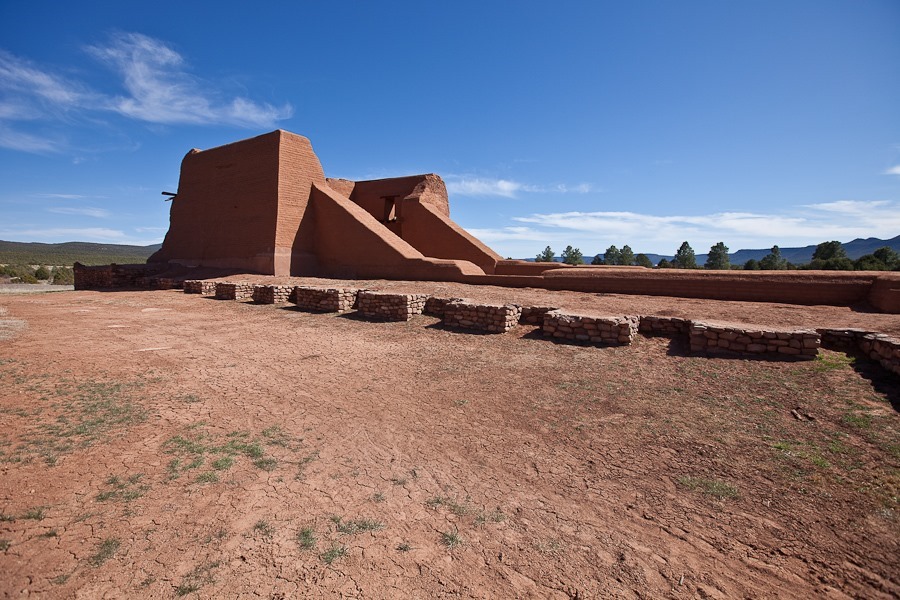
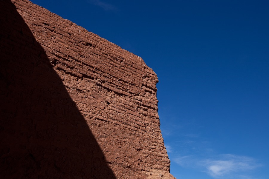
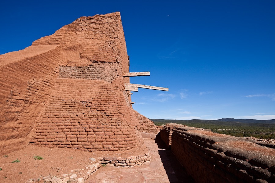
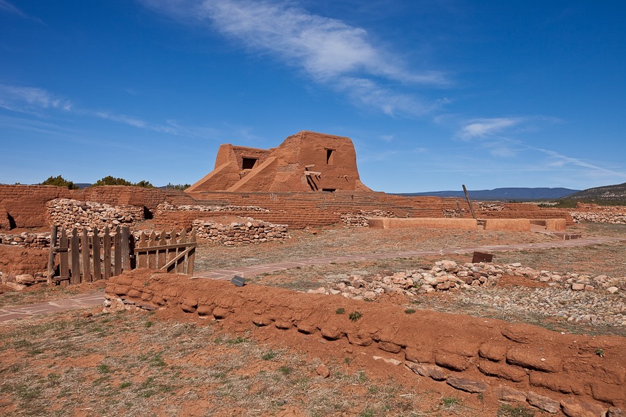
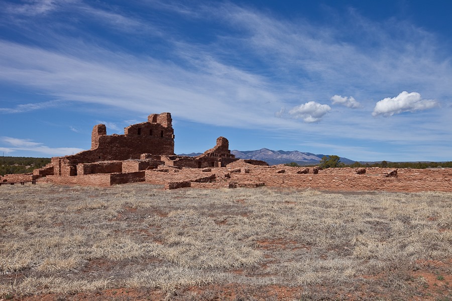
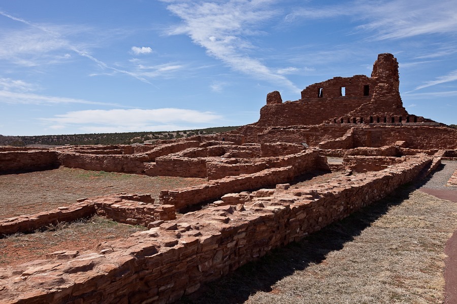
Out on the trail, we could see the church that was built here by the Spanish. Like at Salinas Pueblo Missions National Monument, an Indian pueblo stood here for centuries before the Spanish came and built a mission here to “civilize” the natives:
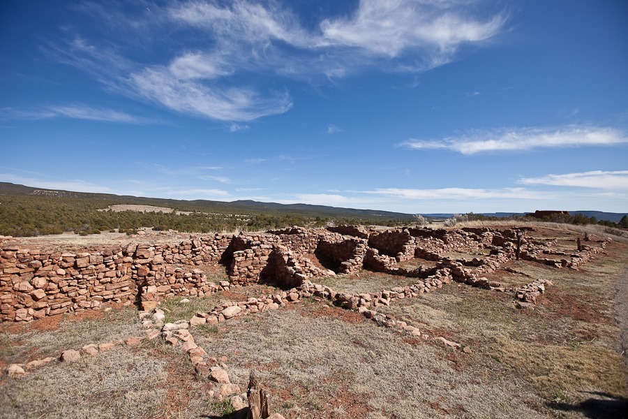
Most of the pueblo remains unexcavated, but this portion has been revealed by archeologists. This pueblo, built in the 1400s, housed over 2,000 people and was four stories high:
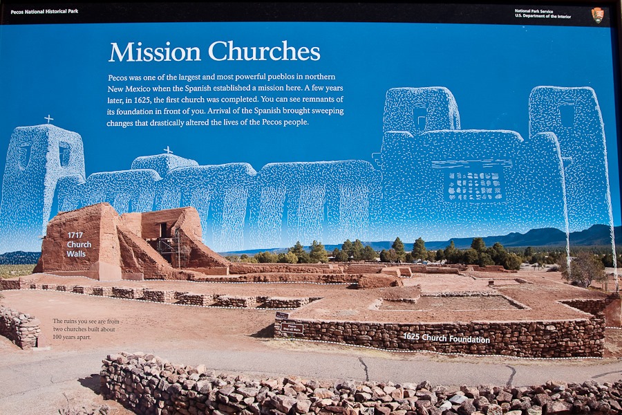
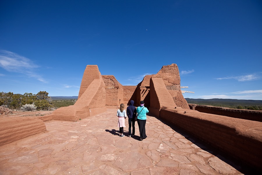
The first church was built here by the Spanish in 1625. It was destroyed by the Indians in the Pueblo Revolt of 1680. By the time the Spanish crushed the revolt in the early 1690s, the pueblo had fewer residents, so the second church, completed in 1717, was smaller than the first:
On our way back to the visitor center, we walked over the faint outline of the once well-travelled Santa Fe Trail:
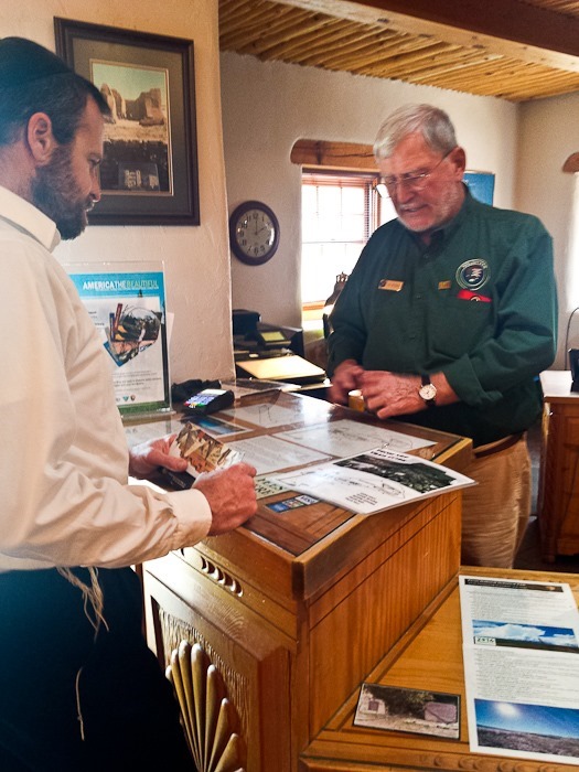
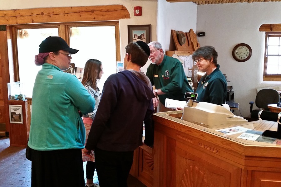
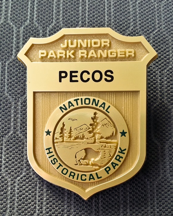
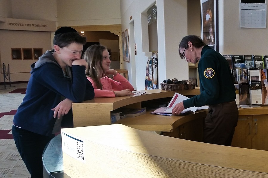
Back at the visitor center, the kids completed their Junior Ranger workbooks and received their badges:
From Pecos, we continued east to overnight at the Walmart of Las Vegas, New Mexico. See the trip map for today’s drive and our current location.
This morning we drove out to the location of the concrete arrow I spotted from the sky on Day 946. Unfortunately, when we arrived at the road that would take us to the arrow, there was a sign indicating that the road entered Laguna Pueblo land, and that a permit would be needed to enter. Disappointed, we returned to the RV. I love the street sign leading to our host, Paramotor City Glider Shop:
B said goodbye to Cowboy (pictured), and Hobo:
We said goodbye to Michelle. Thanks for hosting us and fixing my wing!
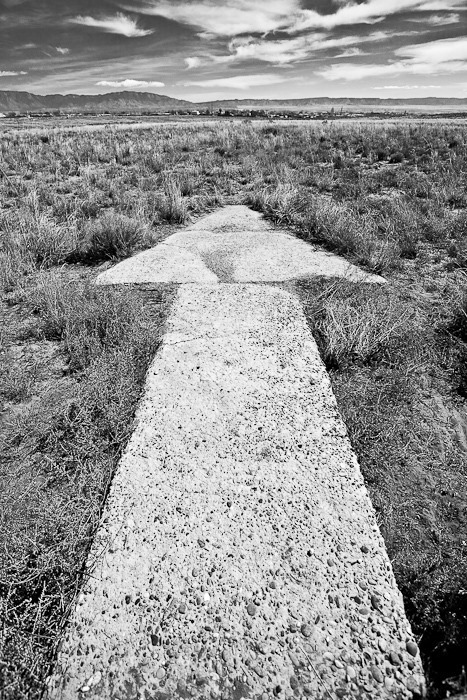
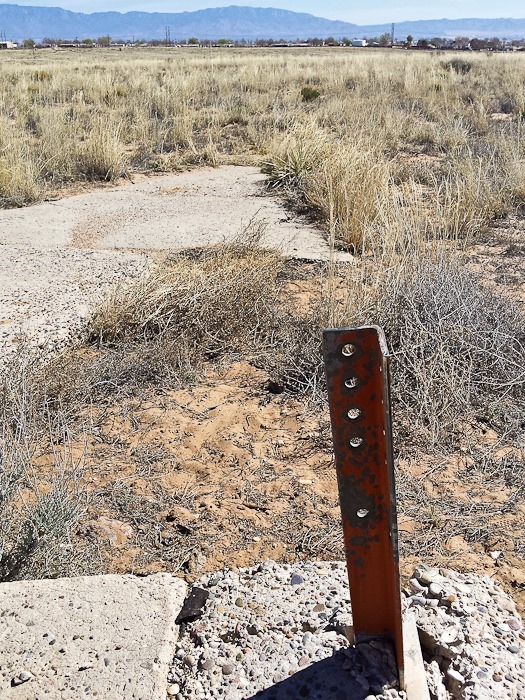
We drove east for ten miles or so to the next concrete arrow site, LA-A #69. We parked the RV and walked south between an RV park and a truck repair business:
We skirted the southern edge of the RV park and crossed the fence on the left:
The kids completed their Junior Ranger workbooks and received their badges and patches:
We hiked one of the many trails that pass by the over 10,000 petroglyphs in the park, most of which were carved between 1300 and 1600:
The Macaw depicted in this petroglyph is not native to the area, but Indians in this area were part of a trade network that extended all the way to South America, so Macaws did find their way here:
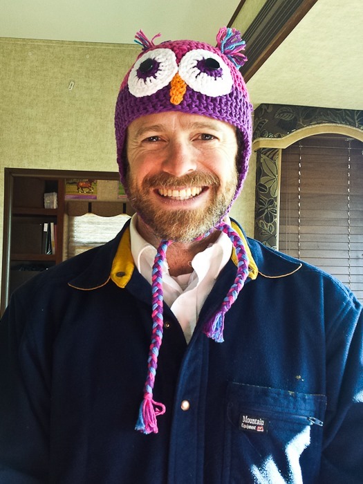
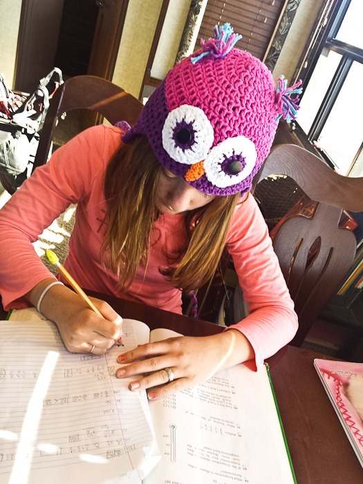
After getting gas (only $1.59 for diesel!) and replenishing our meat supply at Trader Joe’s, we drove north towards Santa Fe. During the drive, Trish made this owl hat for B to match her owl-themed pajamas:
We continued north and east to overnight at the Walmart of Santa Fe. See the trip map for today’s drive and our current location.
Spanish Franciscan monks came here from Mexico in the 1580s to convert the Puebloan Indians who lived here. In the 1620s the mission at Abo was built:
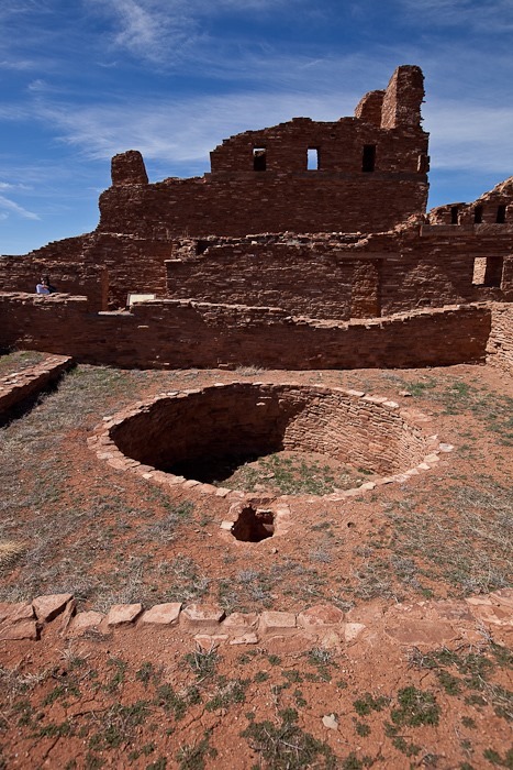
To persuade the local Indians to help in the construction of the mission, The monks told the local Indians that the new mission would include a Kiva for Indian rituals. Once the mission was completed, the “Kiva” was used as a garbage pit:
Droughts and Apache Raids (in retribution for Spanish slave-capturing raids against the Apache) caused the Salinas Pueblos to be abandoned around 1670:
The kids completed the Junior Ranger workbook sections dealing not only with Abo Pueblo, but also Quarai Pueblo and Grand Quivira Pueblo, and the section for the main visitor center in Mountainair, so they received all four location ribbons for their badges:
We drove on to visit the main visitor center in Mountainair. The rear wheel was sitting a little funny, and after a bit of investigation I found that the rear leaf spring hanger had broken. The part indicated by the arrow had broken off the frame of the RV:
The rear leaf spring more or less stayed put because it’s attached to the equalizer in front, and the axle is attached on the other side to the other leaf spring with the intact equalizer and rear hanger. Nonetheless, we needed to get the broken off hanger pieces welded back on without too much driving.
I asked the ranger in the visitor center about local welders, and she asked the other ranger for direction. The other ranger is a coach at the local high school, and he called the shop teacher, Mr. E. Mr. E. happens to be a certified welder, and he asked us to drive over to the high school. We crawled our way from the visitor center to the high school, hoping everything held together. We arrived successfully:
I disconnected the ground wire from the battery to protect the electronics in the RV from damage from the electrical current imposed on the frame by the welding:
Mr. E. used an angle grinder to prep the frame and the broken parts for welding:
I jacked up the frame to unload the equalizer so the rear leaf spring could slide into place. Mr. E simultaneously pulled a chain tightly around the rear axle to encourage it into place:
Welding ensued:
Mr. E did an amazing job and we were ready to get back on the road! Thanks so much for your help, and it was a pleasure to meet your students!
We drove on from Mountainair to arrive at Michelle’s flying field and wing shop, where my wing will be repaired. See the trip map for today’s drive and our current location.
This morning I woke up before sunrise. I wanted to take off from our dispersed camping location on BLM land to get an aerial view of the Very Large Array. The lack of wind coupled with the thin air at over 7000’ of elevation here would require a great deal of running to launch, and a correspondingly high speed landing, so I decided not to risk equipment and limb:
This high up, it’s pretty cold in the morning:
Rather than go back out to the highway to get to the VLA, we decided to continue along the dirt road that led to our overnight camping location. We had to open and close a number of cattle gates:
We drove towards the VLA, which is composed of 27 radio antennas that ride on three railroad tracks. The antennas are moved along the rails to place the array in one of four different configurations, each of which provides different detection characteristics, like changing the zoom on an optical lens. This configuration shown here is comparatively compact, as the railway that defines each leg of the “Y” is 12 miles long. Image courtesy NRAO:
Each antenna lives on a mount next to the rails used to change the antenna positions in the array. Image courtesy NRAO:
On the way to the VLA, we passed an antenna mount point used in a wider array configuration than the configuration currently in use. A special locomotive drives under an antenna, lifts it up,and rolls out to the main rails. The locomotive then lifts each of its corners at a time, rotating the lifted wheel assembly 90 degrees and then lowering the rotated wheel assembly onto the main rails. Once all four locomotive wheel assemblies are rotated onto the main rails, the locomotive moves the antenna at a maximum speed of 2 MPH to the antenna’s updated mount point. The process is then reversed to place the antenna on it’s updated mount point:
The VLA rails on this one of the three legs of the “Y” extend into the distance in both directions:
We at last arrived at the entrance to the VLA:
The VLA is so sensitive that it could detect a cell phone signal emanating from Jupiter, so it’s understandable that local radio signals need to be kept to a minimum to avoid interference with ongoing observations. Unlike optical observations, radio observations go on both day and night:
We watched the site video, narrated by actress Jodi Foster, who starred in the movie Contact which was partially filmed here. We also checked out the displays in the auditorium:
A feedhorn like this is used by the VLA antennas to receive radio signals. Each antenna contains many feedhorns which vary dramatically in size, each feedhorn’s size being proportional to the wavelength of the radio signal it is designed to receive:
This model shows an antenna about to the moved by the special locomotive mentioned above:
We went outside on the walking tour. The first stop was this radio telescope we were able to aim and watch a meter on the telescope change based on how much radio “light” was received. We discovered that the sun emits a good bit of radio signal:
This exhibit showed the power of parabolic dishes to focus an incoming signal. B and Trish could whisper into their dish and hear each other very clearly over this considerable distance:
Dishes everywhere:
Each dish is 82 feet wide and weighs 230 tons:
Throughout our visit, the dishes moved in unison as they observed different points in space. Dishes under repair did not move along with their operational counterparts:
Our last stop was the antenna barn where the antennas are serviced. The VLA uses 27 antennas for observation, but the array has 28 antennas so that one antenna can be in the barn while the rest are observing:
The signal hits the main dish, bounces up to the secondary reflector mounted on the arms, then back down into the feedhorns clustered at the center of the dish:
We drove east and south to Bosque del Apache National Wildlife Refuge. Probably the most famous wildlife refuge in the US, Bosque del Apache hosts Sandhill Cranes for the winter portion of their annual migration:
Sadly, the cranes for the most part have departed, but we contented ourselves with a tour of the refuge’s cactus garden:
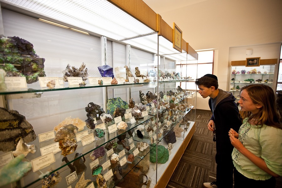
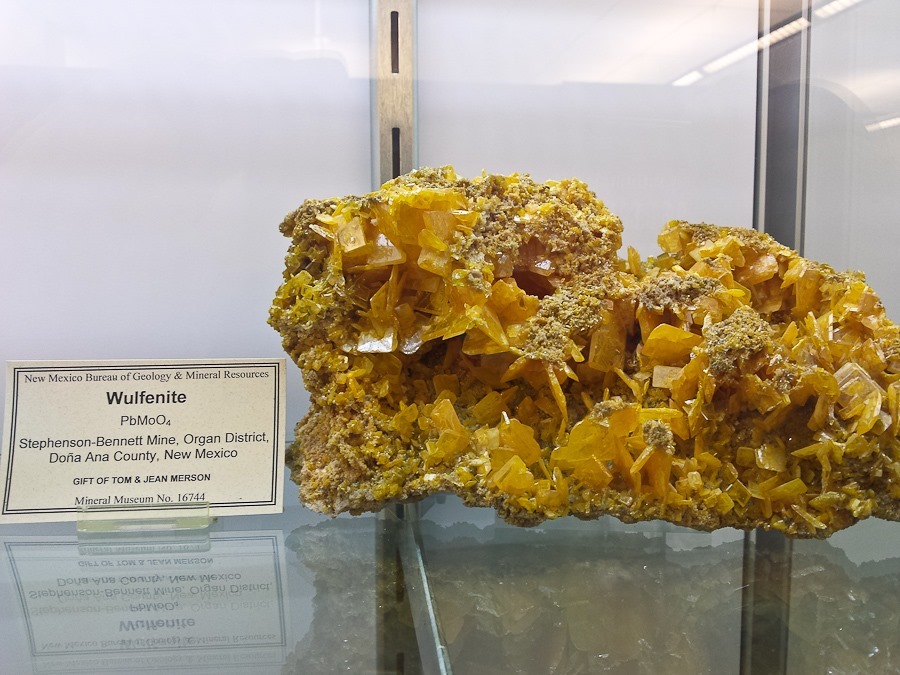
The visitor center was quite well done:
Like the NPSJunior Ranger program, Fish and Wildlife has a Junior Refuge Manager program at a few of the wildlife refuges. The kids completed their workbooks and received their badges:
The visitor center tells the story of the El Camino Real, a pathway of trade and colonization used for over 300 years. Juan de Oñate, whose own signature we saw carved at El Morro National Monument a few days ago, travelled this route in 1598 from Mexico in an effort to colonize what today is New Mexico:
The visitor center was very well done:
The kids completed their Junior Ranger workbooks and received their patches:
We continued south to Elephant Butte Lake State Park, where for only $8 a night we will be camped beachside and doing some flying over the next few days.
See the trip map for today’s drive and our current location.
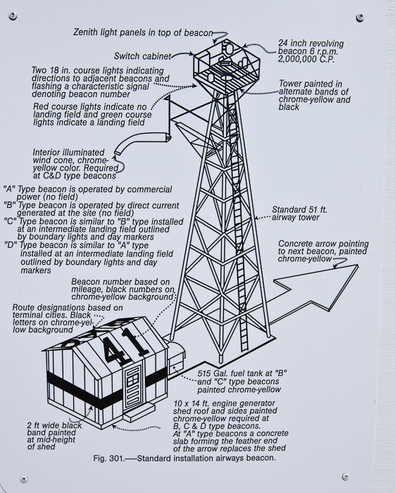
At the beginning of our trip, one of our readers e-mailed a link to us about the giant concrete arrows that were installed all over the US to aid in air mail navigation in the 1920s (thanks Mrs. S!). Each site consisted of a 51-foot tall lighthouse, an operations shack, and an arrow shaped concrete slab. These sites were spaced about 10 miles apart from one another so the pilot could find his way along the route. Thanks to this network of beacon stations, night flying was made possible, halving the time needed for air mail to make its way across the country.
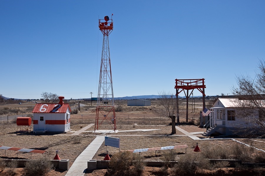
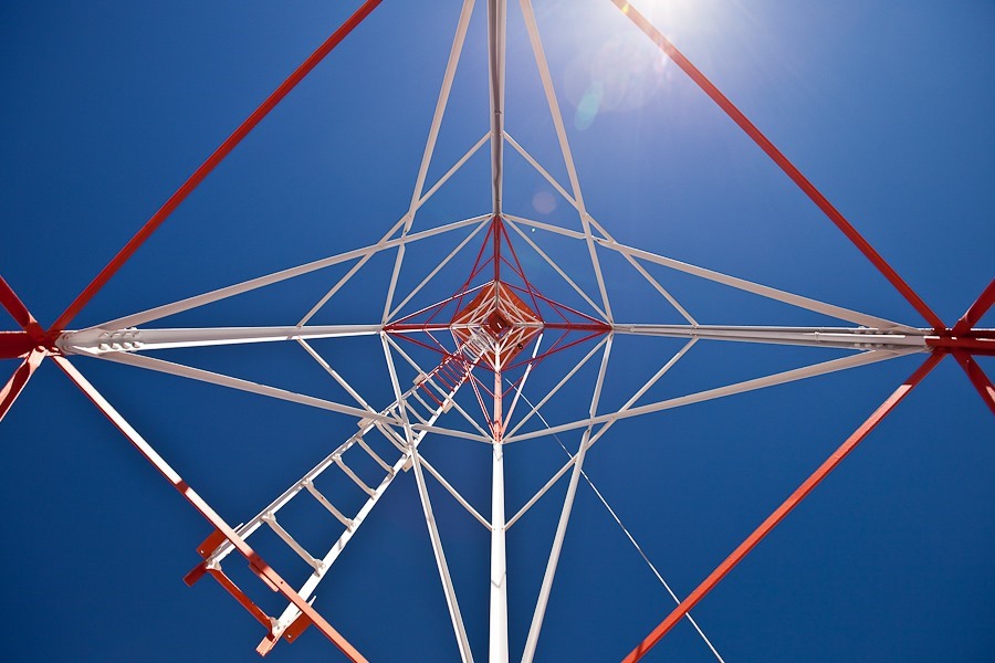
On Day 106, we found our first navigation beacon site, and on Day 200 we found our second site. Today we visited the Western New Mexico Aviation Heritage Museum, which hosts a restored navigation beacon site. The authentic generator shack and light tower were brought here from two different beacon locations, and placed on this recreated concrete navigation arrow:
One side of the shack’s roof is painted with the beacon number, which usually corresponds to the distance, in tens of miles, from the beginning of the route:
The other side of the roof shows the route name, in this case Los Angeles to Albuquerque:
During the day, the pilot would use the arrow to adjust his heading to the next beacon station as he flew over:
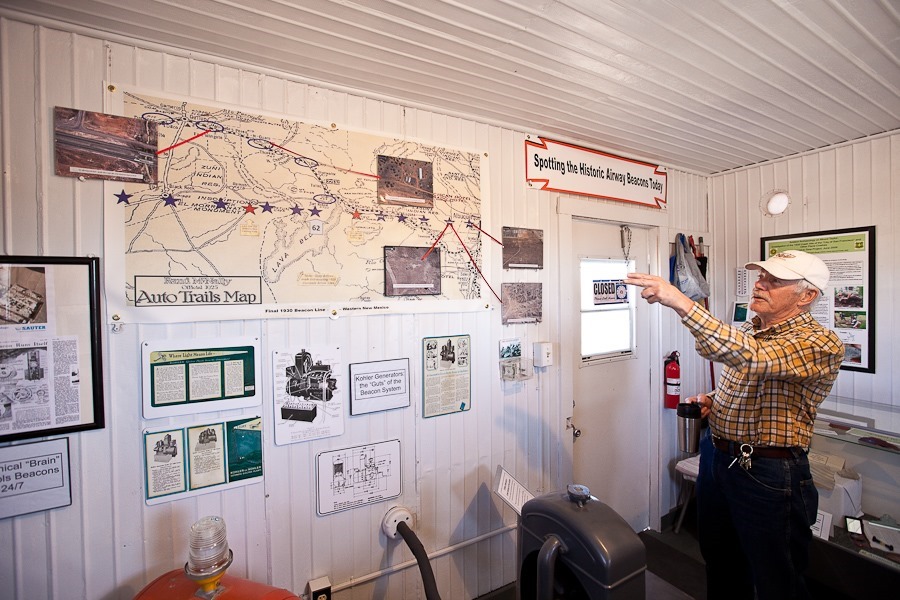
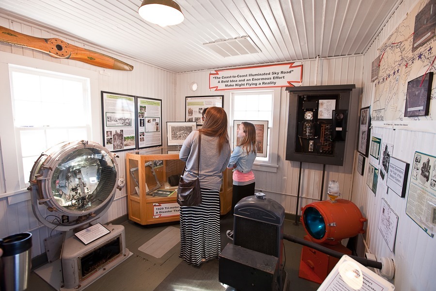
The inside of the shack has been converted into a museum describing the history of these beacon stations:
A scale model of a beacon station:
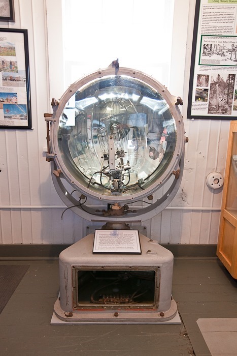
This rotating signal light is two feet across and is illuminated by a 1,000 watt bulb. A spring loaded mechanism automatically switches to a backup bulb when the primary bulb fails:
A model of the Ford Trimotor, the 747 of its day, used by Transcontinental Air Transport to transport passengers and air mail along the route. It was a TAT-piloted Trimotor that crashed near here into Mount Taylor in 1929, the first plane crash on a regular commercial land route:
This display shows concrete arrows that still exist:
Transporting and restoring the shack and tower:
In an adjacent communications building, I noticed a license plate fragment was used to patch a hole in the floor:
Eventually concrete arrows were phased out in favor of elevated steel arrows, as the latter could not be buried under snow:
The kids completed their Junior Ranger workbooks and received their badges:
We drove south to visit locations in El Malpais National Monument. We also visited the visitor center for the BLM’s El Malpais National Conservation Area which is adjacent to the National Monument:
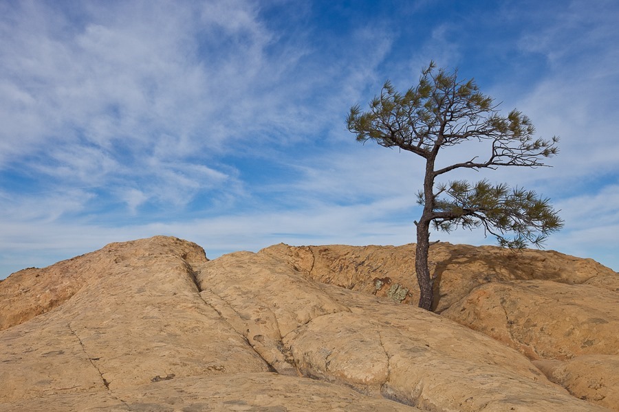
We visited the Sandstone Bluffs Overlook:
B photographed this caterpillar:
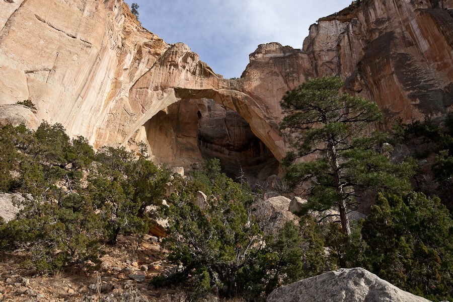
Next we hiked out to La Ventana Natural Arch:
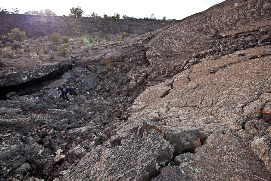
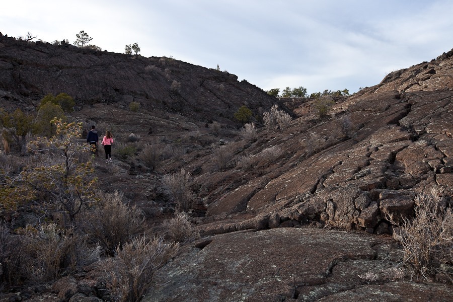
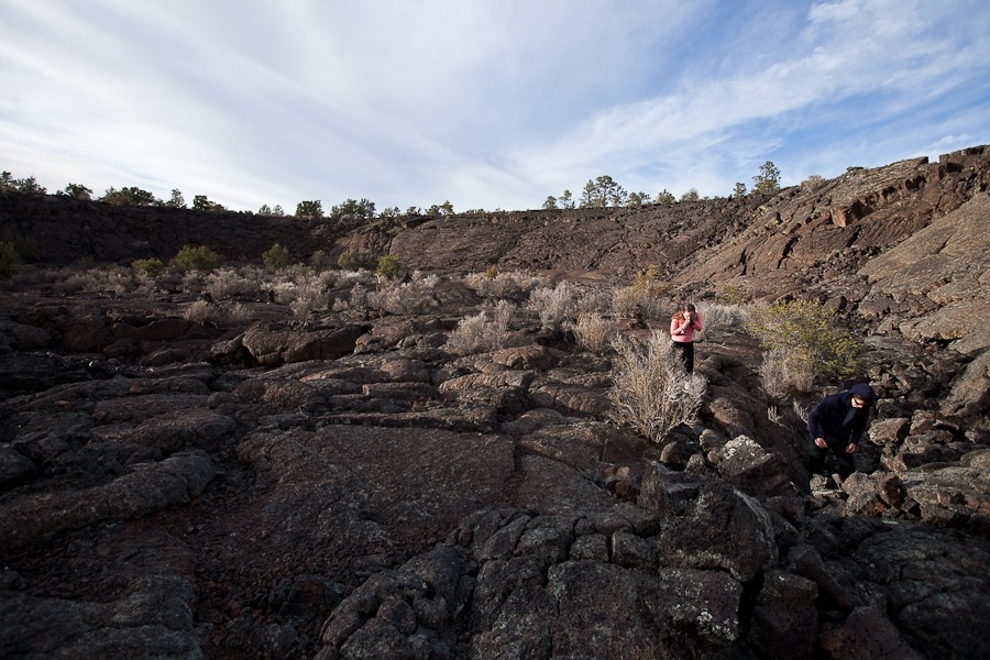
Our last stop was the Lava Falls area, where the trail took us out onto the lava flows that are the primary feature of El Malpais National Monument:
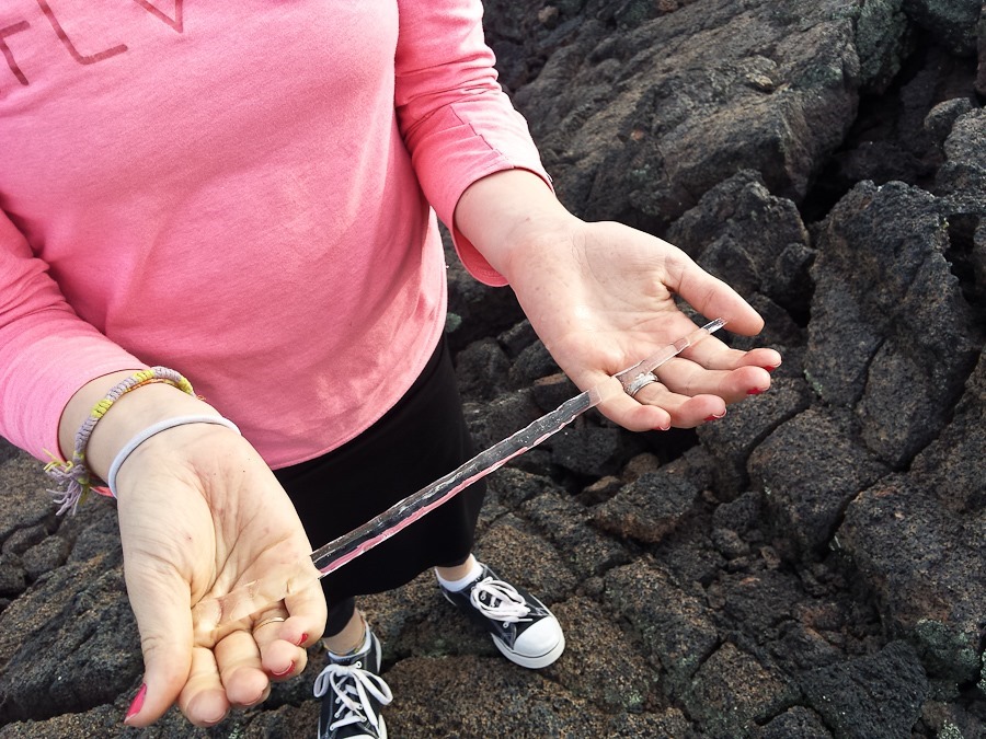
The kids found icicles handing under a shaded shelf in the lava flow:
We continued south and east to overnight on BLM land next to the Very Large Array, which we plan to visit tomorrow.
See the trip map for today’s drive and our current location.






























 Facebook
 Instagram
 Email
Email