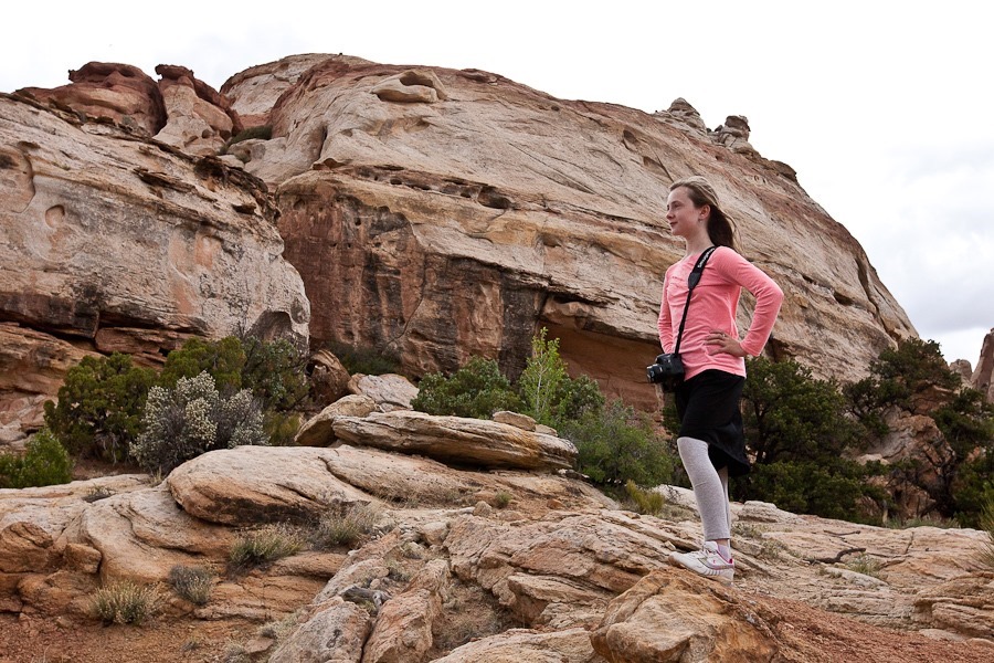
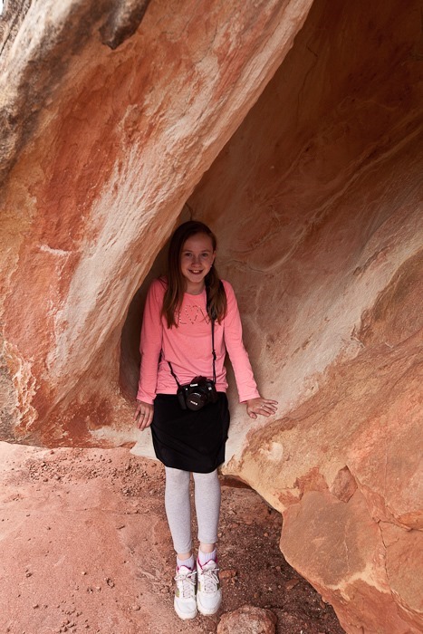
Day 643: Canyonlands National Park, Island in the Sky District, and Dead Horse Point State Park

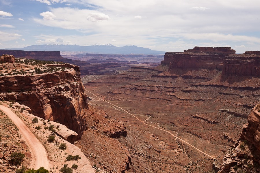
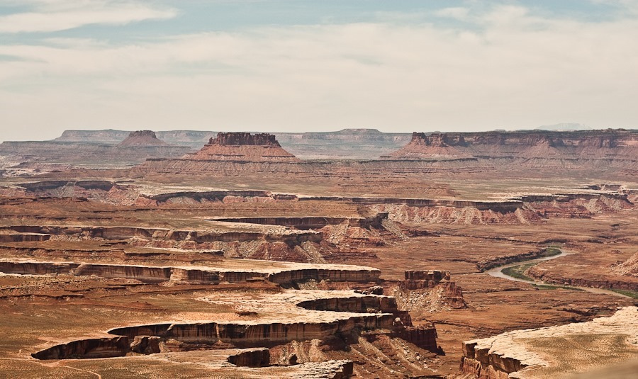
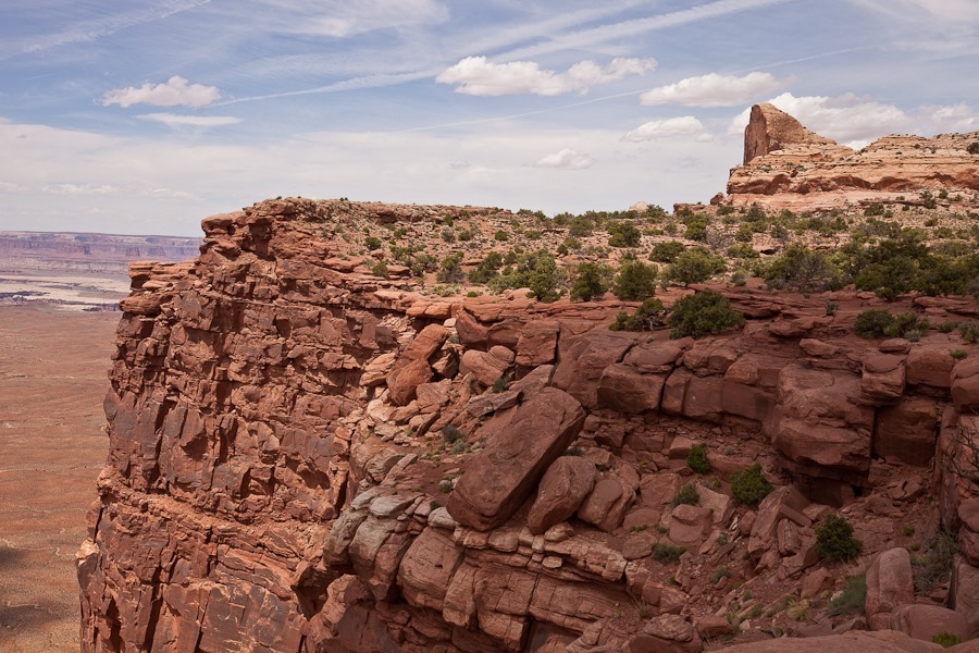
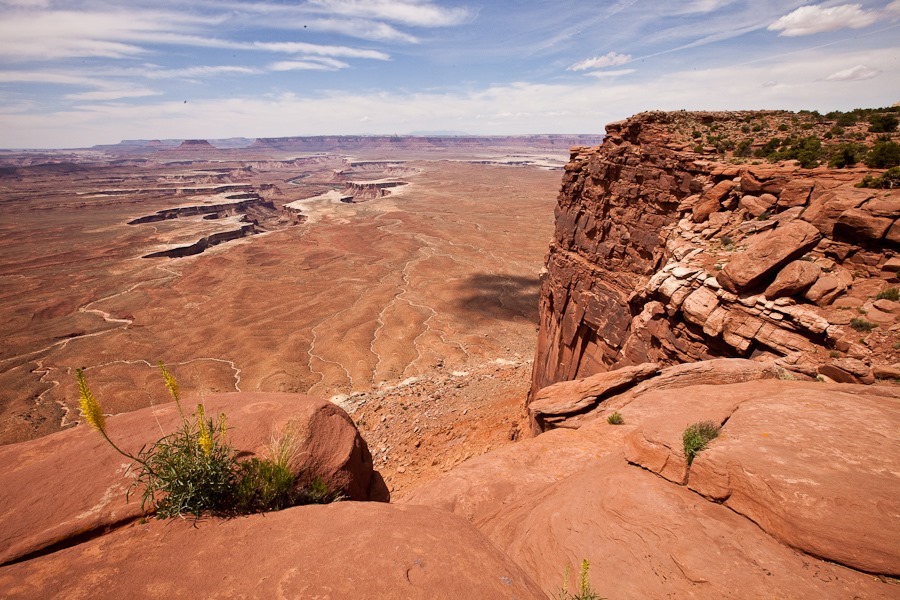
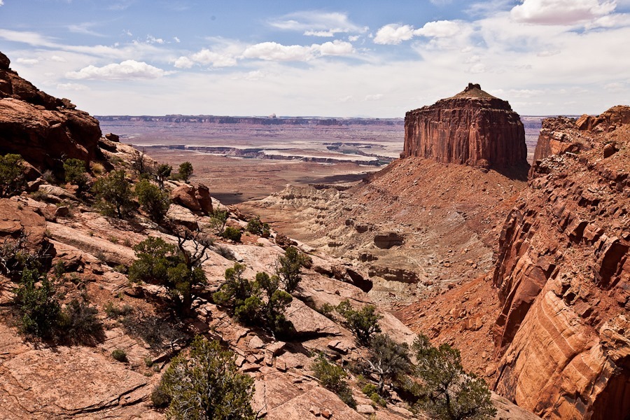
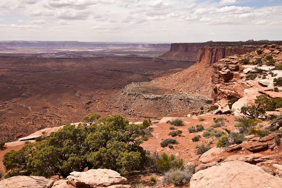
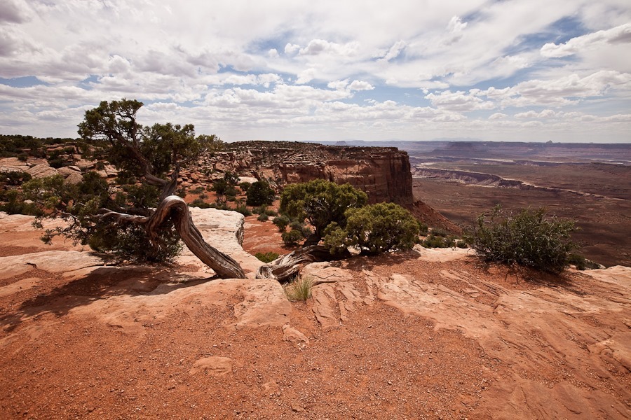
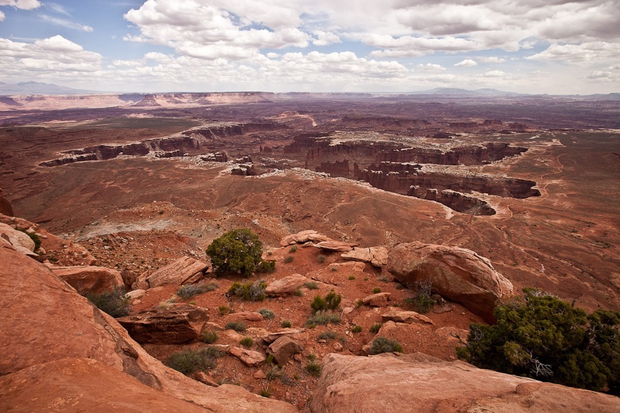
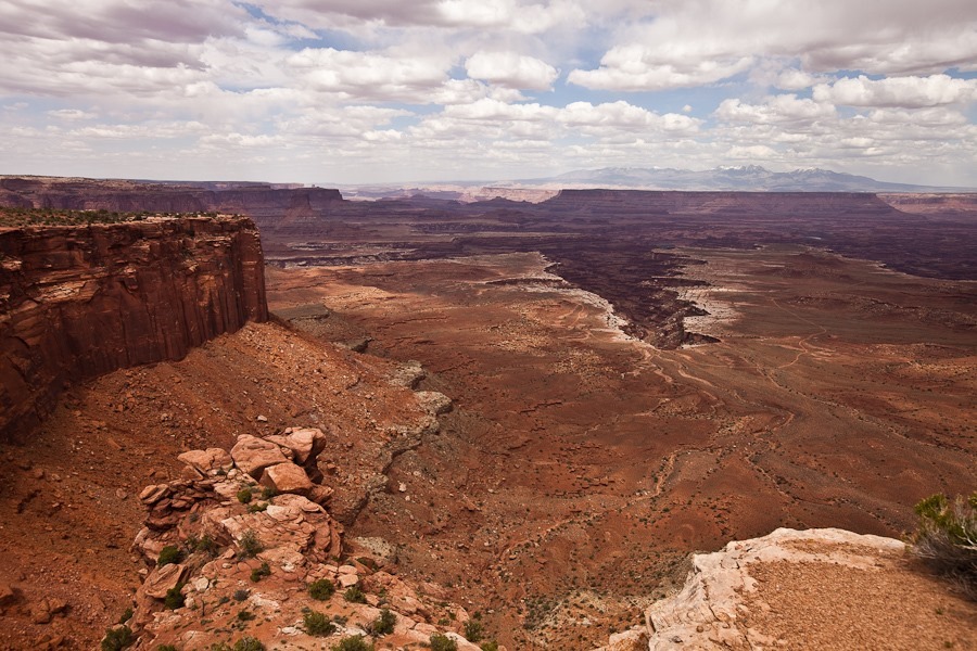
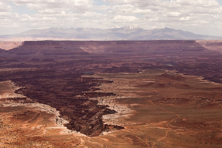
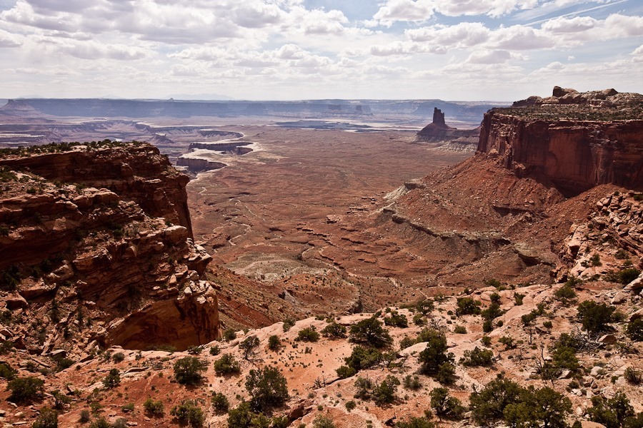
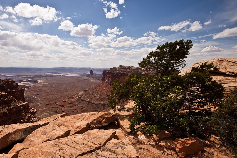
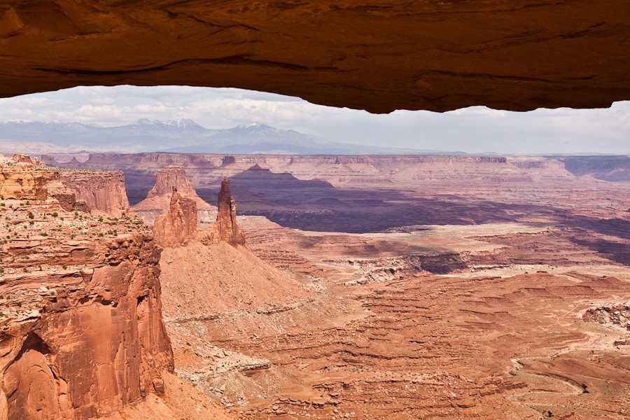
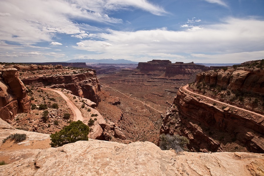
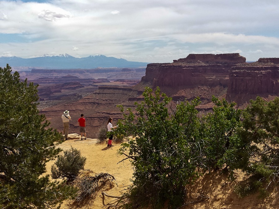
This morning we drove into the Island in the Sky district of Canyonlands National Park.  Wedged above the confluence of the Green and Colorado rivers, this area is a mesa at 6000 feet overlooking river-carved canyons thousands of feet below:
Day643_02

Day643_03

Day643_04

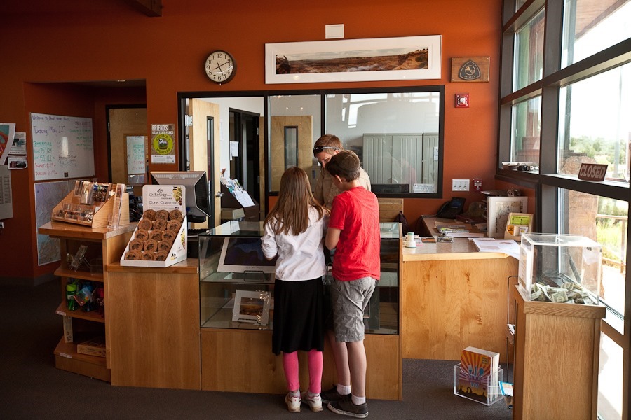
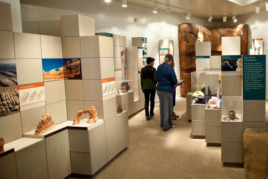
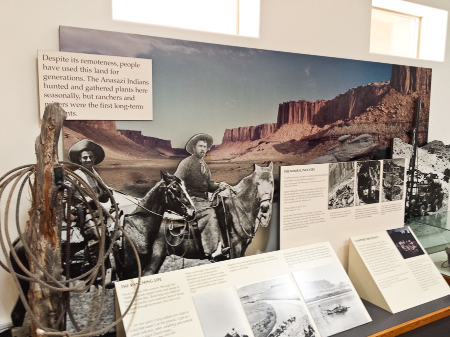
We briefly visited the visitor center:
Day643_01

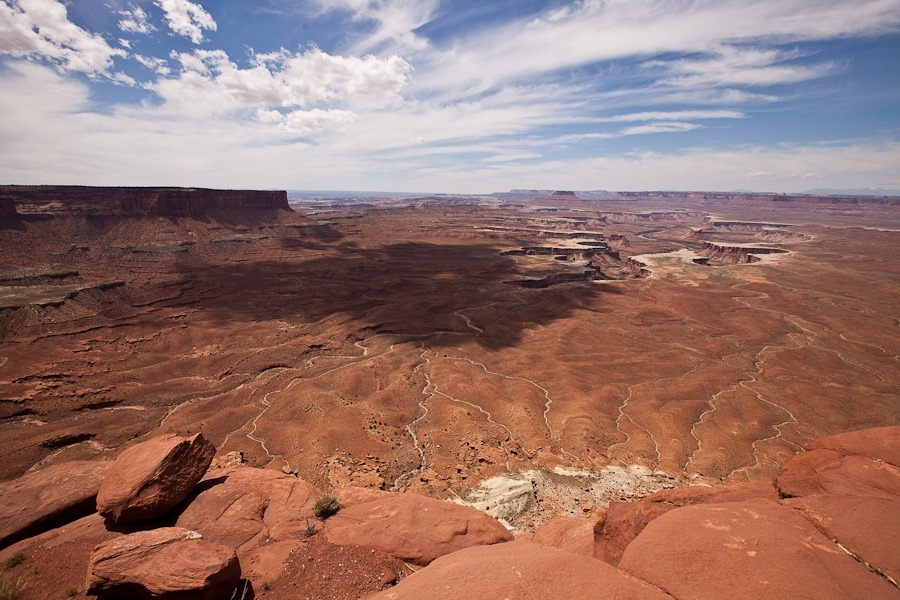
We drove to the Green River Overlook.  The overlook is on Kayenta Sandstone, which acts as a capstone over the softer Wingate Sandstone, which forms the cliffs at the overlook.  Below, the Chinle Formation acts as a cap over the Moenkopi Formation, which is the lower set of cliffs:
Day643_05

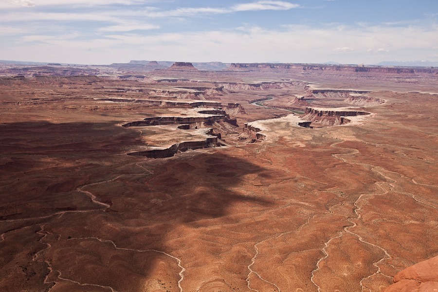
The harder Chinle Formation is the top layer here, with the softer Moenkopi Formation below:
Day643_06

Day643_07

Day643_08

Day643_09

Day643_10

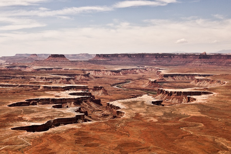
The Green River flows through the canyon dividing the Island in the Sky and Maze districts of the park:
Day643_12

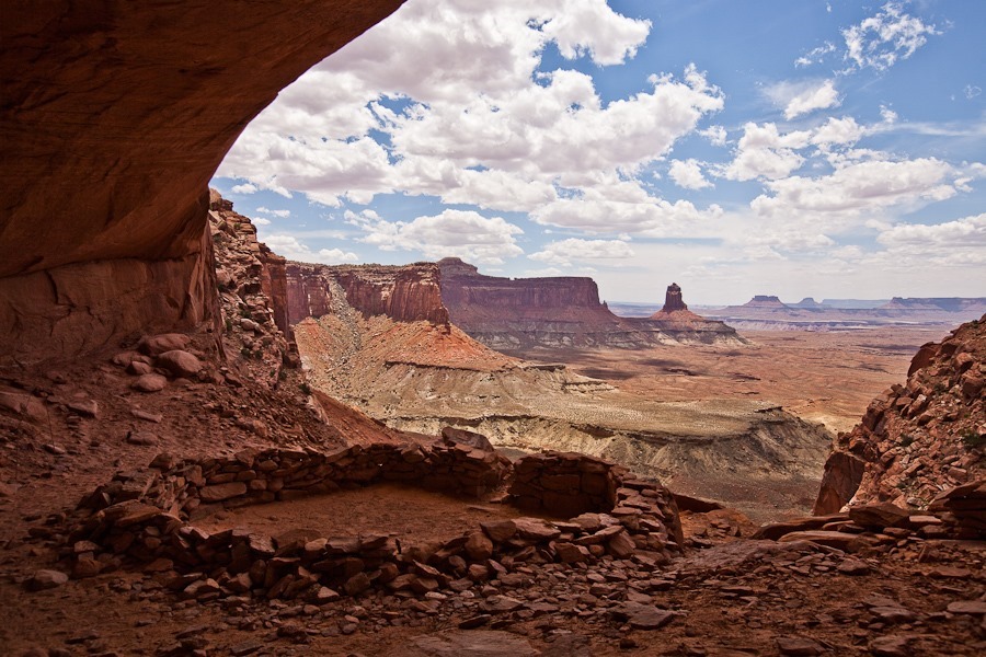
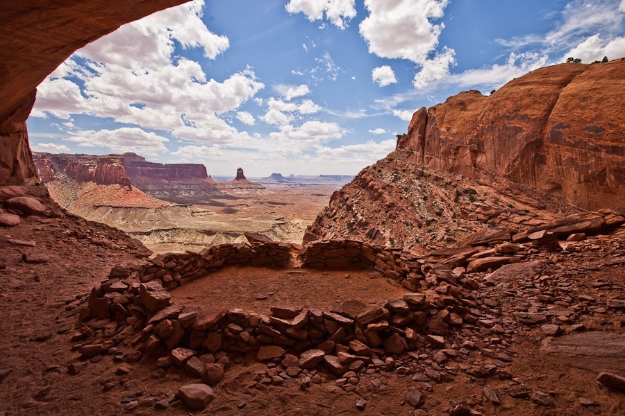
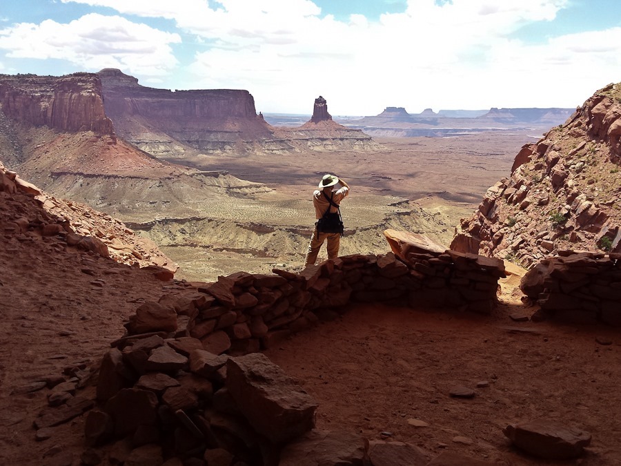
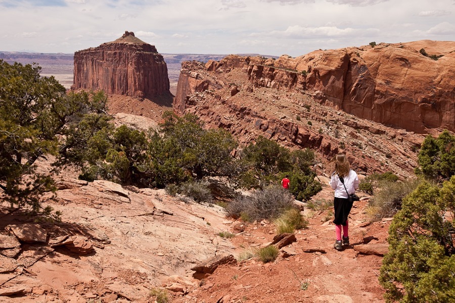
Next we hiked down to False Kiva.  Due to the fragile nature of the site, False Kiva is a Class II NPS site, so the site or its trail do not appear on any maps.  Rangers will give information on getting there if asked about it.  We already knew the location of the trail and site, so we set out:
Day643_13

Day643_14

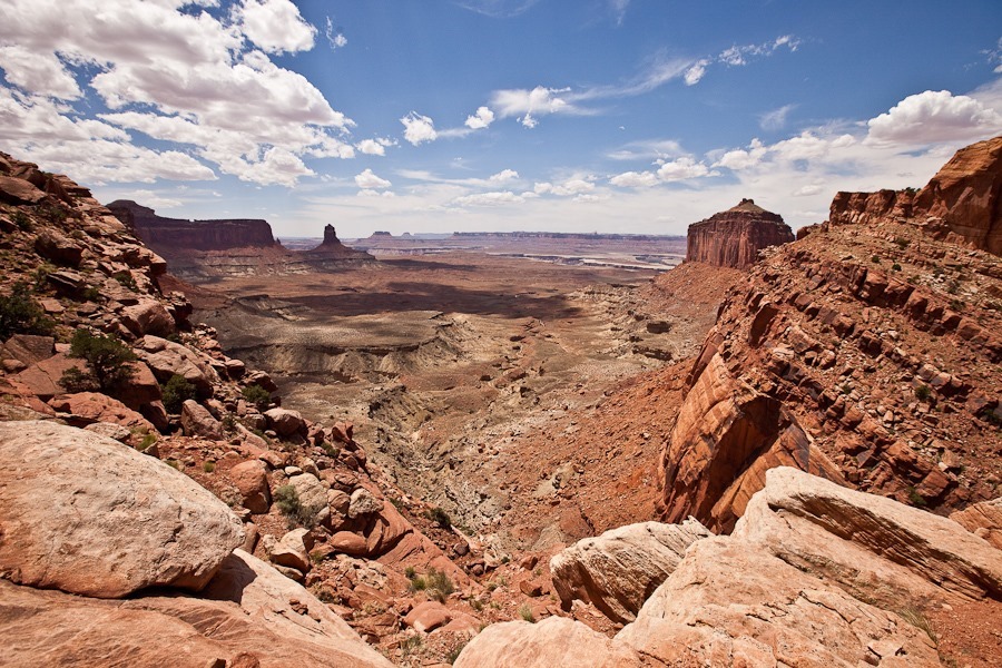
Amazing views of the Green River basin along the trail:
Day643_15

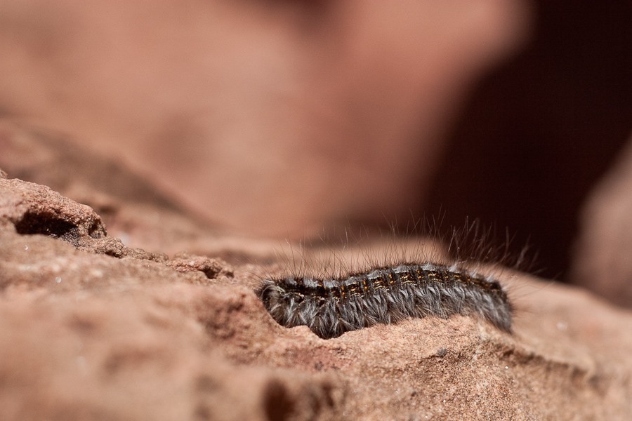
We met this fellow on the trail:

Day643_17

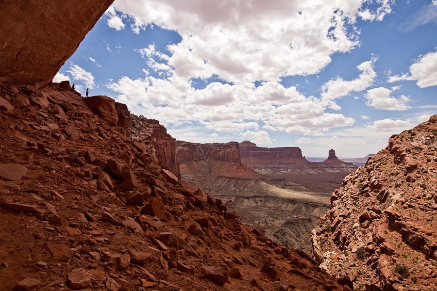
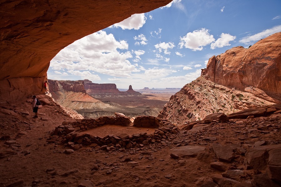
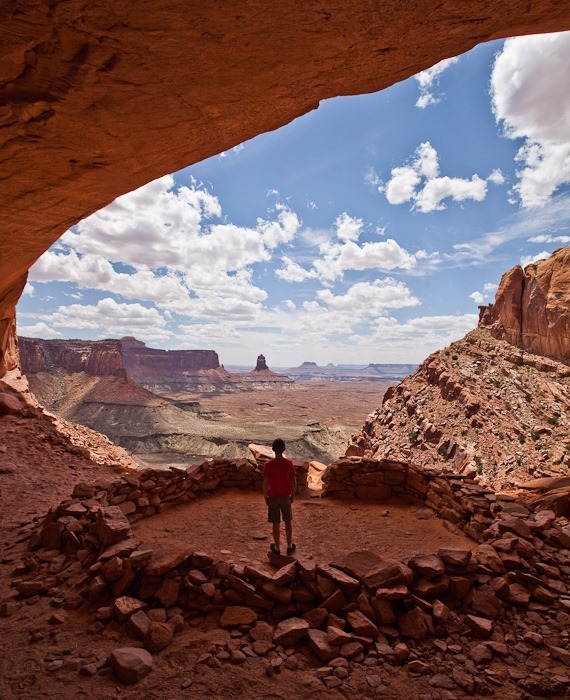
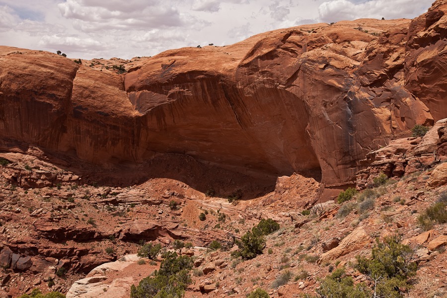
False Kiva is the small, rightmost shadowed area under the overhang:
Day643_33

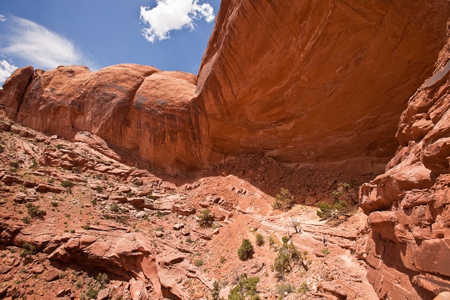
The overhang is huge, and we hoped for a seismically quiet day:

Day643_16

Trish can be seen hiking in the lower right:
Day643_18

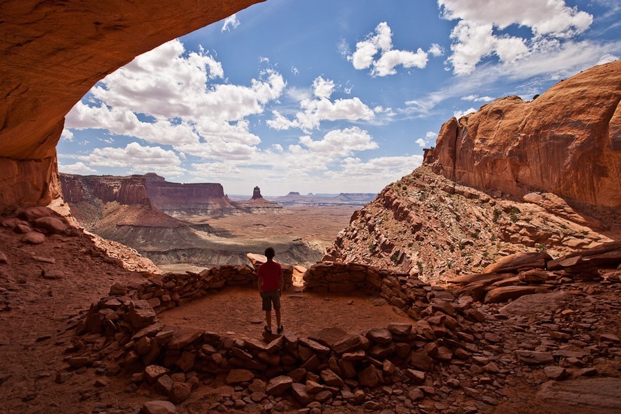
Hiking under the arch, B is in the foreground.  M, in red, can be seen standing at the entrance to False Kiva:
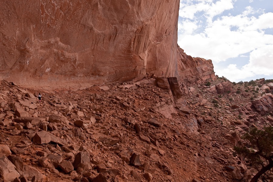
Day643_19

Day643_20

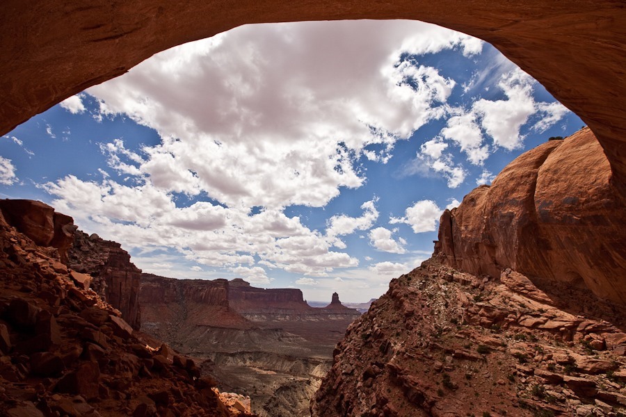
Under the arch:

Day643_21

Day643_22

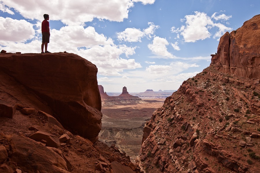
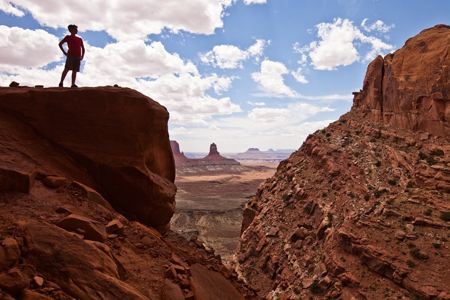
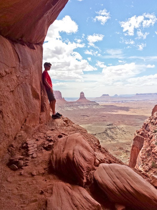
M’s dramatic pose:

Day643_23

False Kiva:

Day643_24

Day643_25

B looked through the NPS logbook for the site:
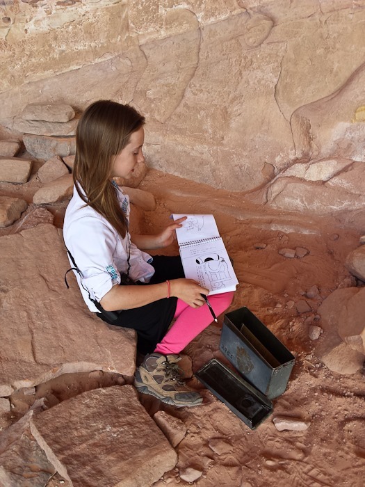
Day643_26

The site is thought to be a Native American dwelling, probably 700 to 1000 years old:
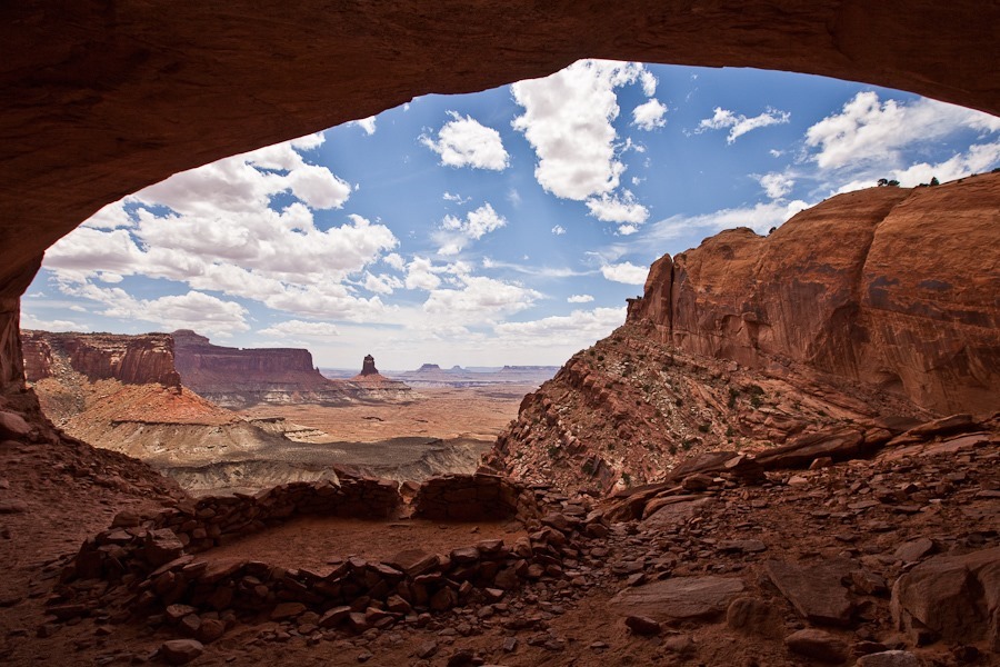
Day643_27

Day643_28

Day643_29

Day643_30

Day643_31

Day643_32

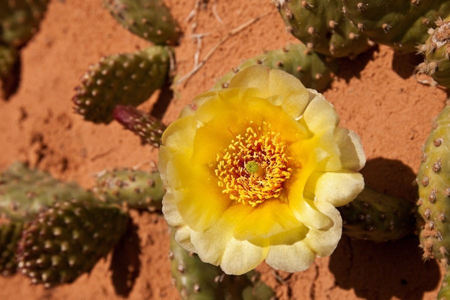
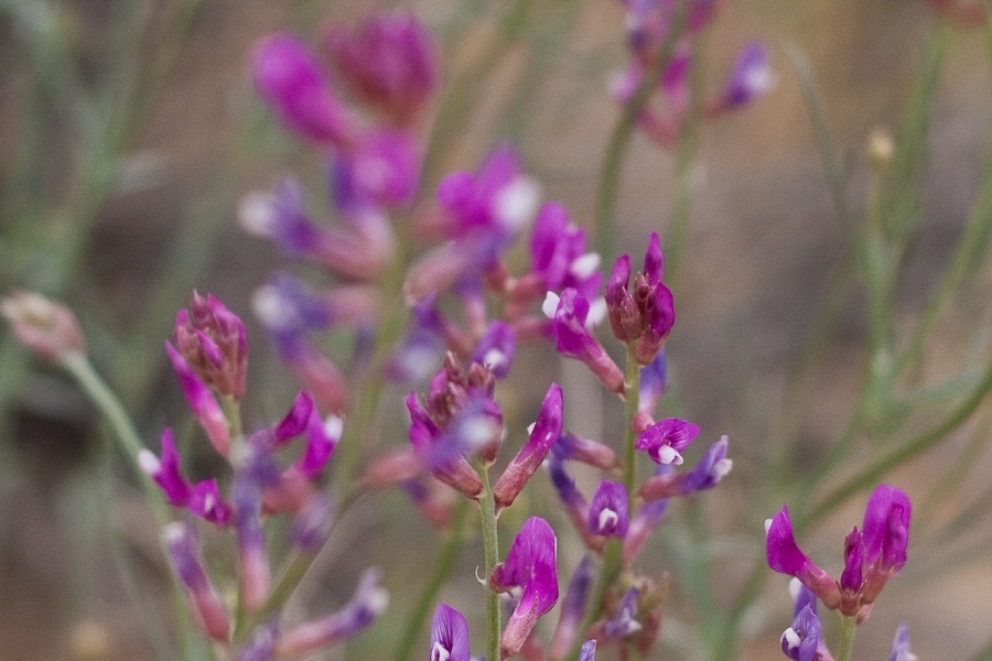
On the way back, B captured a nice flower photo:
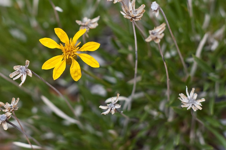
Day643_34

Next we visited Upheaval Dome, a meteor impact site within the park.  The crater is a few miles across, and was created as much as 170 million years ago:
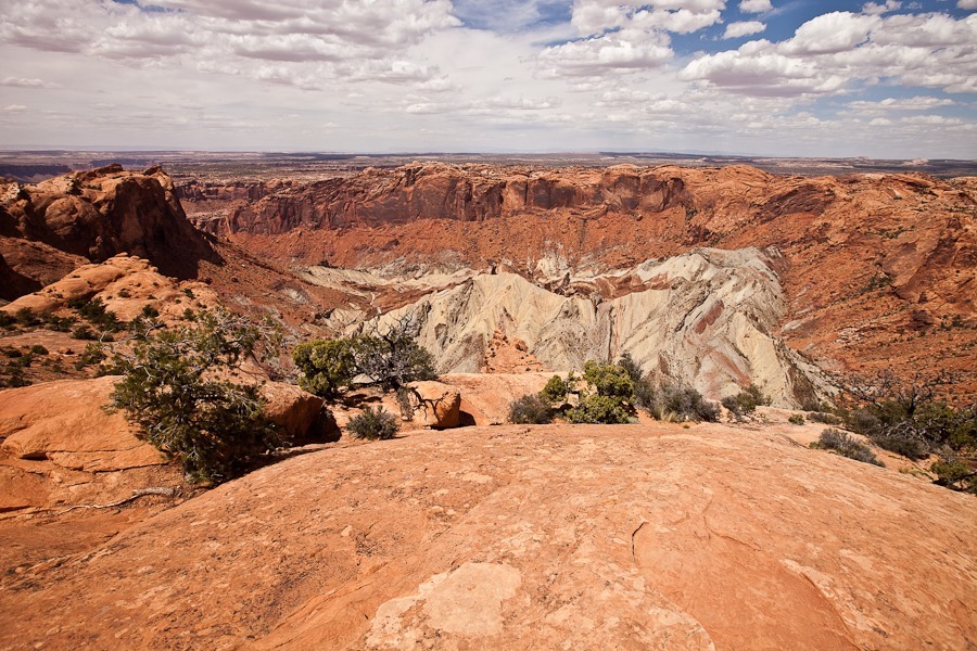
Day643_35

Orange Cliffs Overlook:

Day643_36

Day643_37

Grand View Point Overlook:

Day643_38

Buck Canyon Overlook:

Day643_39

Day643_40

Candlestick Tower Overlook:

Day643_41

The vastness of this area is amazing:
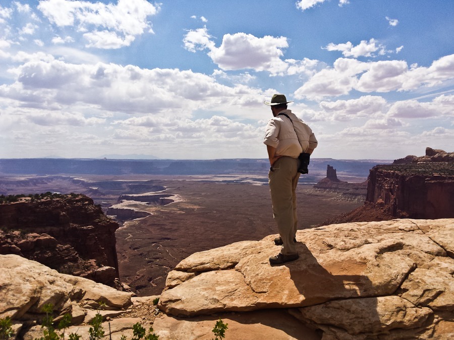
Day643_42

Day643_43

Next we hiked to Mesa Arch, made famous by its photo being one of the default backgrounds for Windows 7:

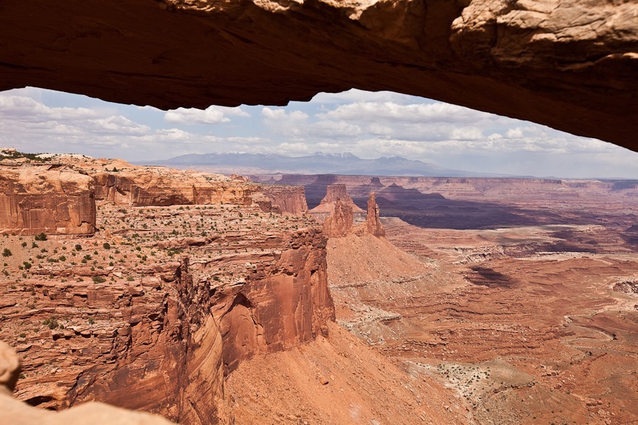
Day643_44

Day643_45

Day643_46

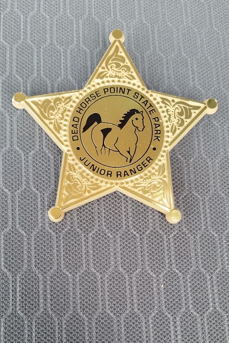
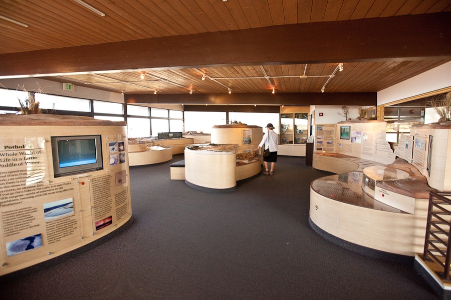
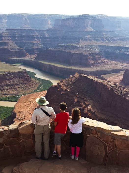
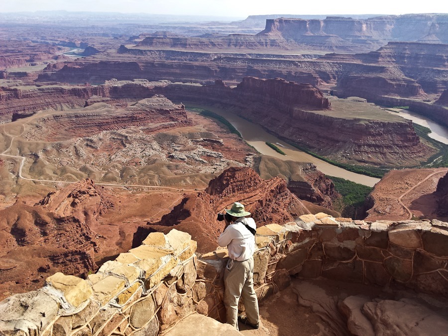
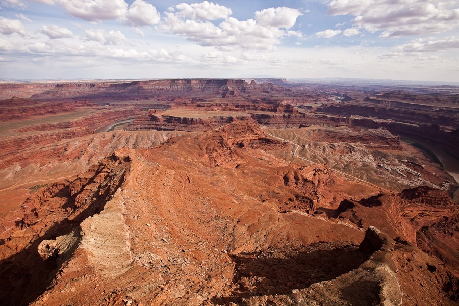
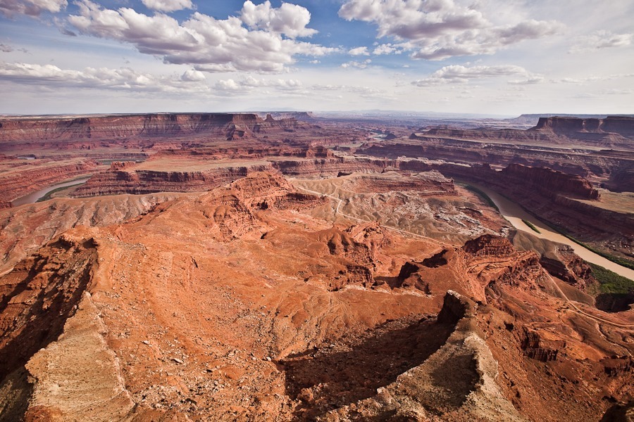
Leaving Canyonlands National Park, we drove to nearby Dead Horse Point State Park, named for the narrow point where wild horses were corralled for sorting.  According to local lore, horses were once left contained at the point, and died of thirst within sight of the Colorado River thousands of feet below.  The kids worked on their Junior Ranger workbooks:

Day643_47

Day643_49

Day643_50

Day643_48

From the visitor center, we could see potash evaporation ponds near Moab:
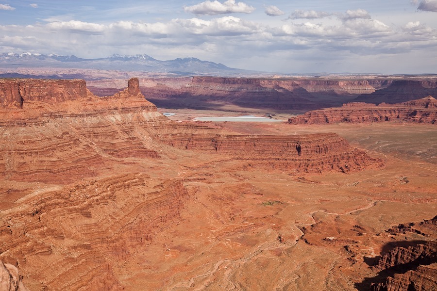
Day643_51

We drove out to Dead Horse Point:
Day643_52

Day643_53

Day643_54

Day643_55

Day643_56

Busy day!
Day 641: Exploring Canyonlands National Park, Needles District

Shabbos dispersed camping just outside of Canyonlands National Park was pleasant.  Today we drove into the park and visited the Needles District visitor center:

Day641_01

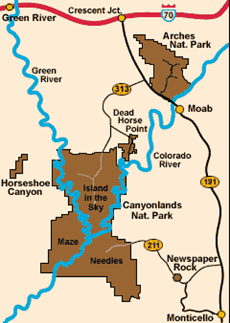
The park is divided into three districts by impassible canyons channeling the Colorado River (right), and the Green River (left).  The Maze has no paved roads and takes hours to reach, so we decided not to try to get there.  Later this week, we will drive North to Moab and visit the Island in the Sky district:

image

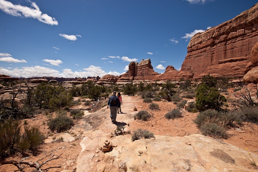
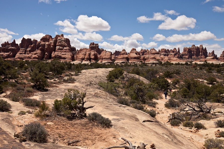
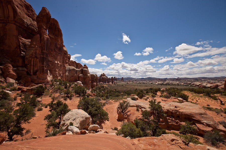
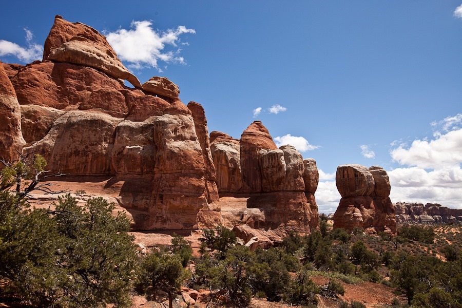
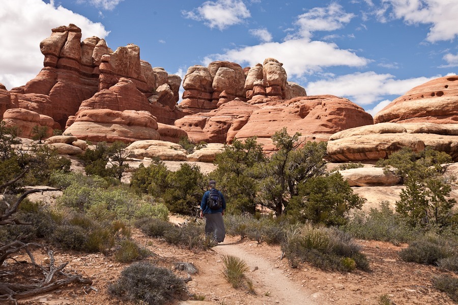
Leaving the visitor center, we drove to the Elephant Hill trailhead and hiked towards Chesler Park, where the needle formations for which the park is named can be viewed:

Day641_02

Day641_03

Day641_04

Day641_05

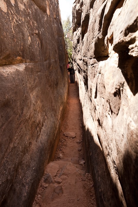
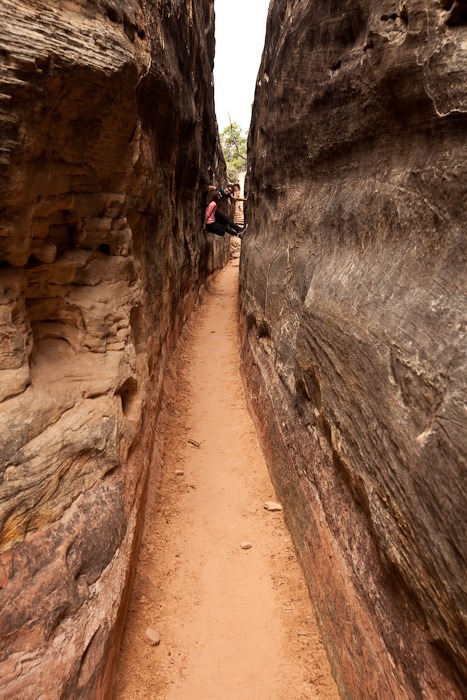
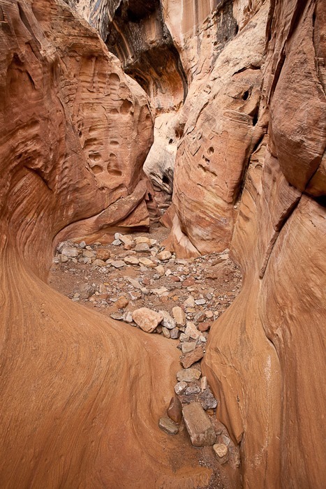
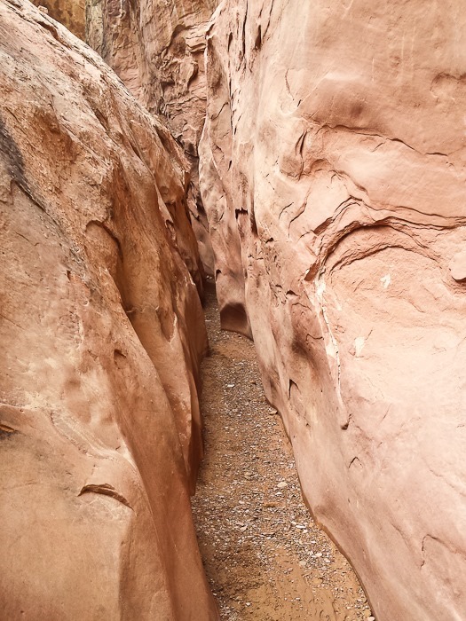
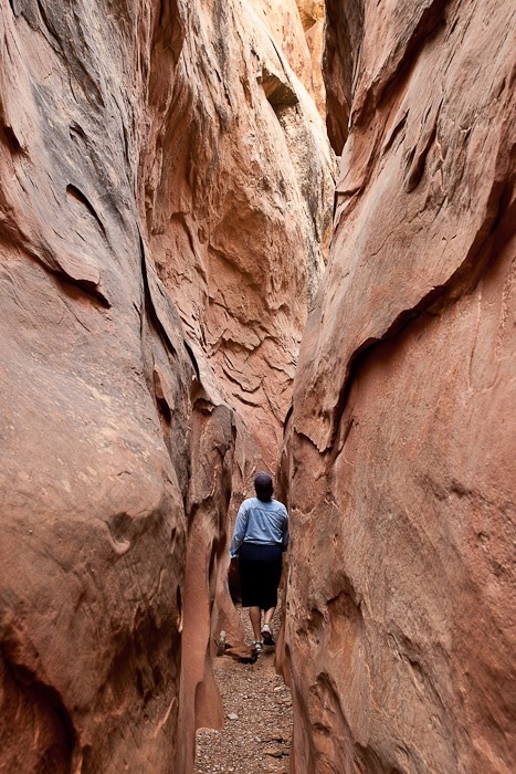
There was a narrow canyon to walk through:

Day641_06

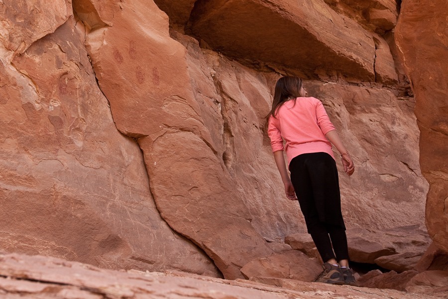
The kids spotted ancient hand print pictographs on this rock.  B is looking for more:

Day641_07

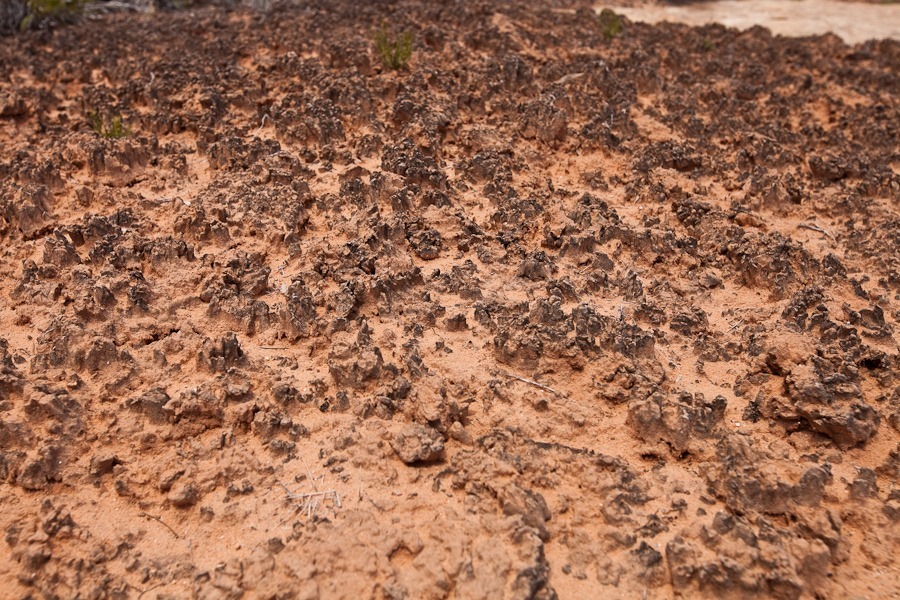
All along the trail we saw mature cryptobiotic soil.  We were careful not to “bust the crust”:

Day641_08

Cactus in bloom:

Day641_09

Day641_10

Day641_11

At last we reached Chesler Park and could look out over the needles in the distance:

Day641_12

Day641_13

Day641_14

There was also a nice arch here:

Day641_15

We went back the way we came back through the narrow canyon:

Day641_16

Day641_17

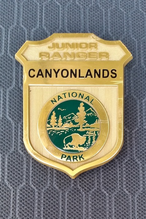
Returning to the visitor center, the kids handed in their workbooks and received their Junior Ranger badges:

Day641_18

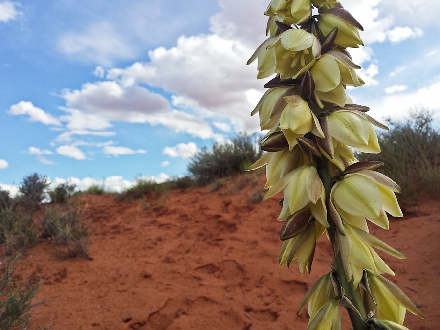
Agave in bloom:

Day641_19

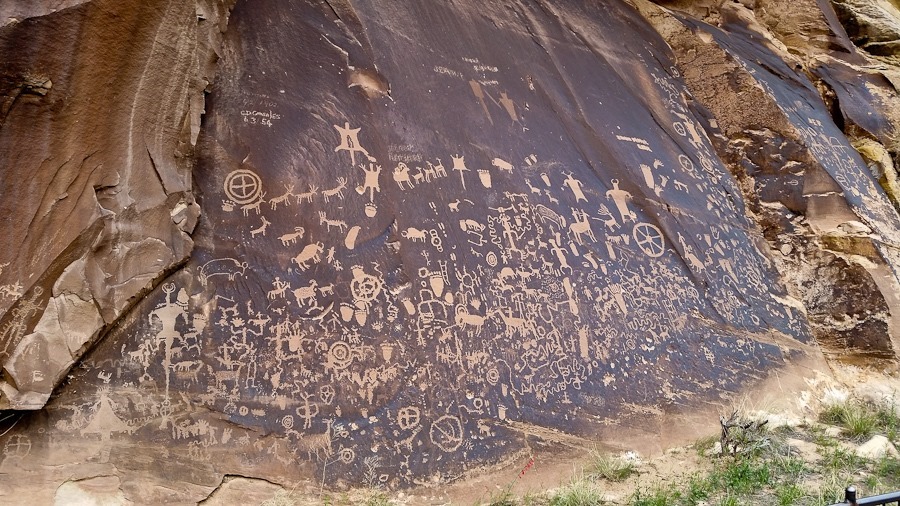
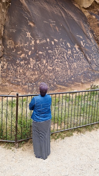
Here we only have tenuous Verizon voice connection with our backup phone, so we decided to drive up to Moab this afternoon.  On the way back to the highway, we stopped to visit Newspaper Rock State Historic Monument, where Native Americans have been fashioning pictographs for over 2,000 years:

Day641_20

Day641_21

Continuing north, we stopped in Moab for groceries, diesel, water, and dumping sewer tanks.  BLM lands in the Moab area for the most part do not allow dispersed camping due to the amount of use the area receives, so we continued north on highway 191 for 12 miles to a dispersed camping location on Utah state SITLA land.  See the trip map for today’s drive and our current location.

Day 636: Goblin Valley State Park

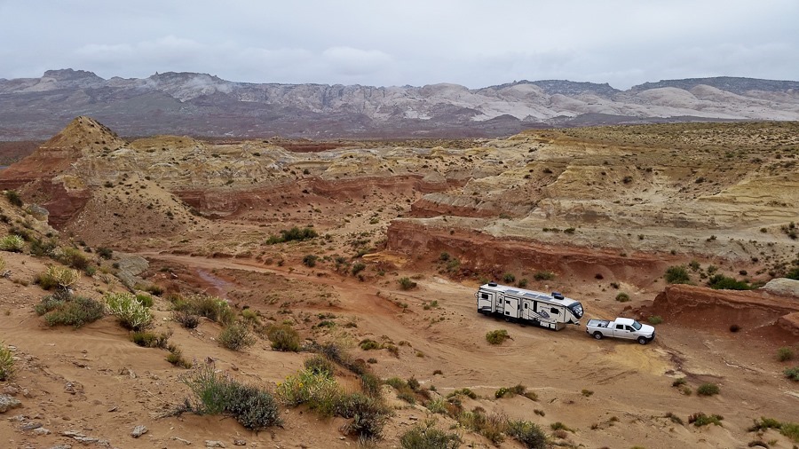
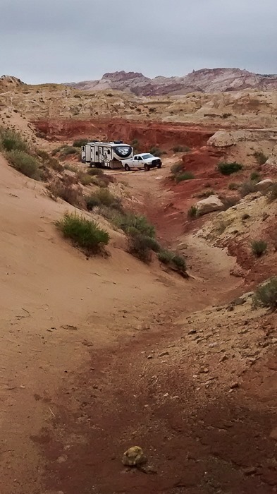
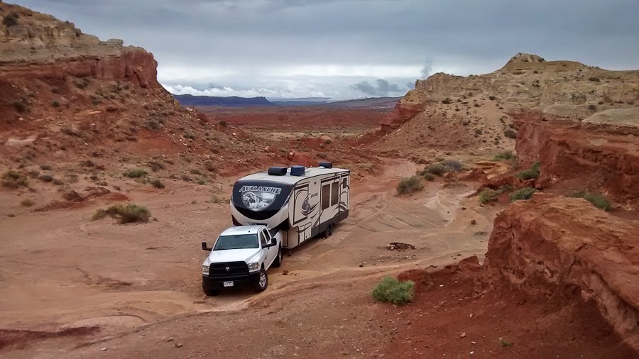
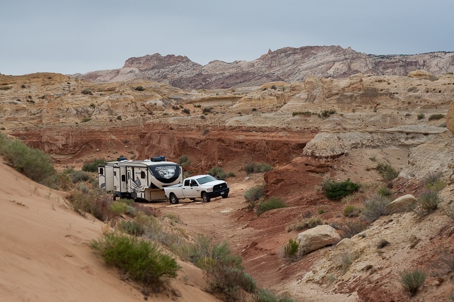
It’s a cloudy day here outside of Goblin Valley State Park.  We overnighted in this short little canyon:

Day636_01

Day636_03

Day636_04

Day636_05

I climbed to the top of the canyon wall, where I could see Goblin Valley to the south.  It’s also the only place around here that the phone seems to work:

Day636_02

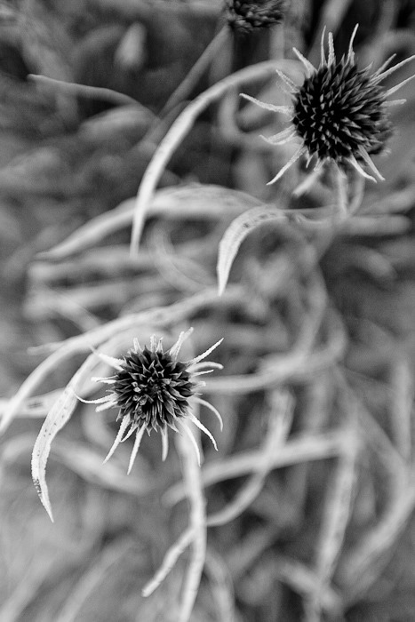
B has started creating flower photos:

Day636_06

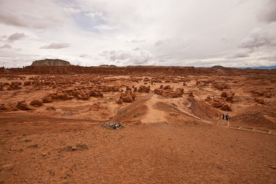
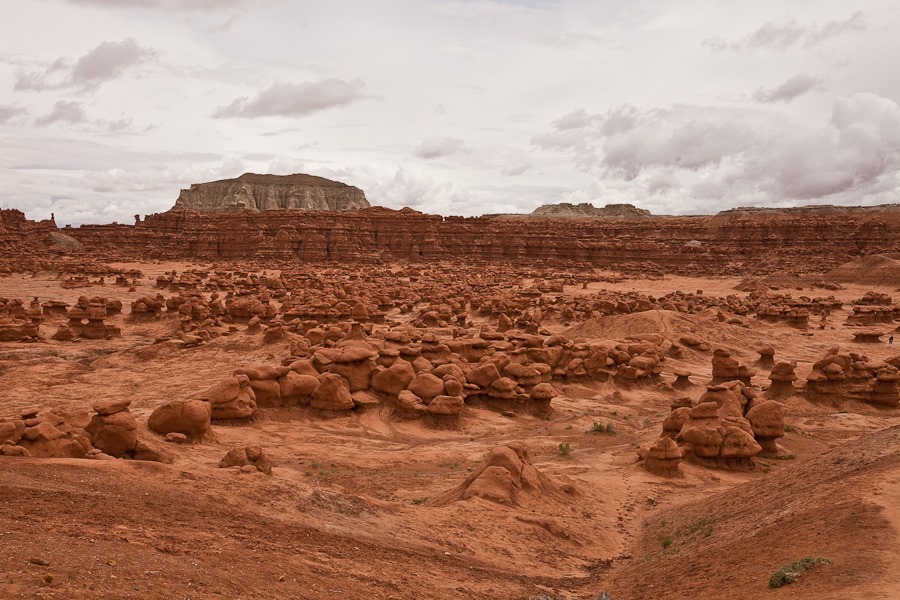
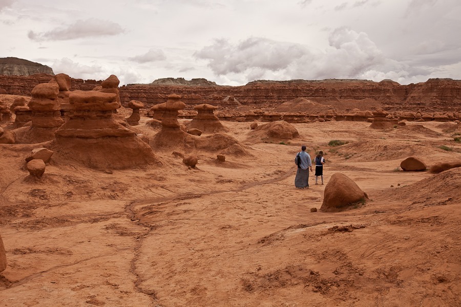
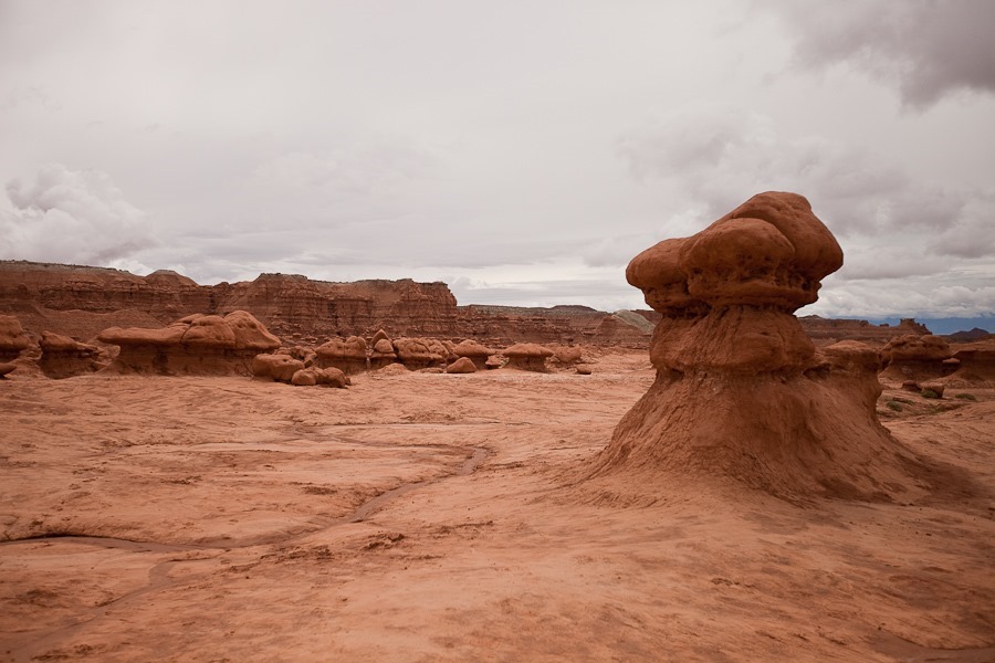
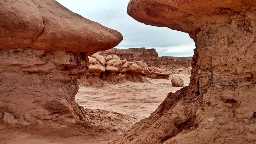
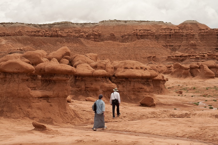
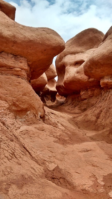
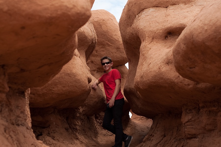
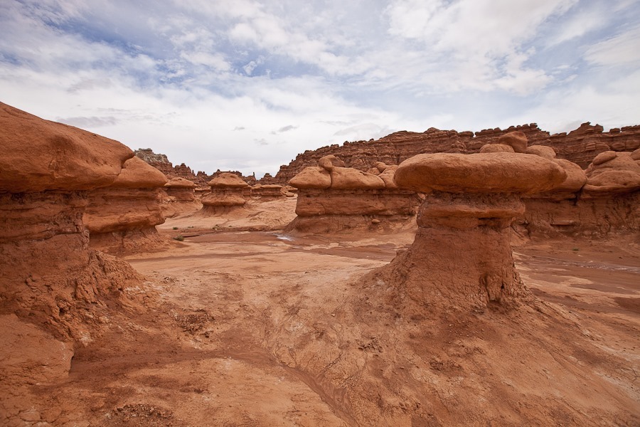
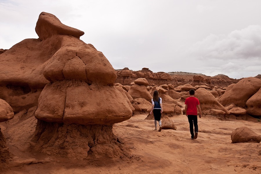
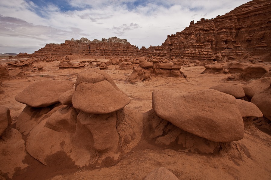
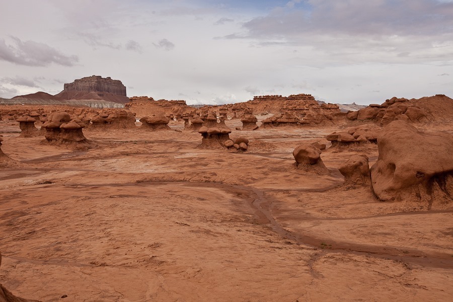
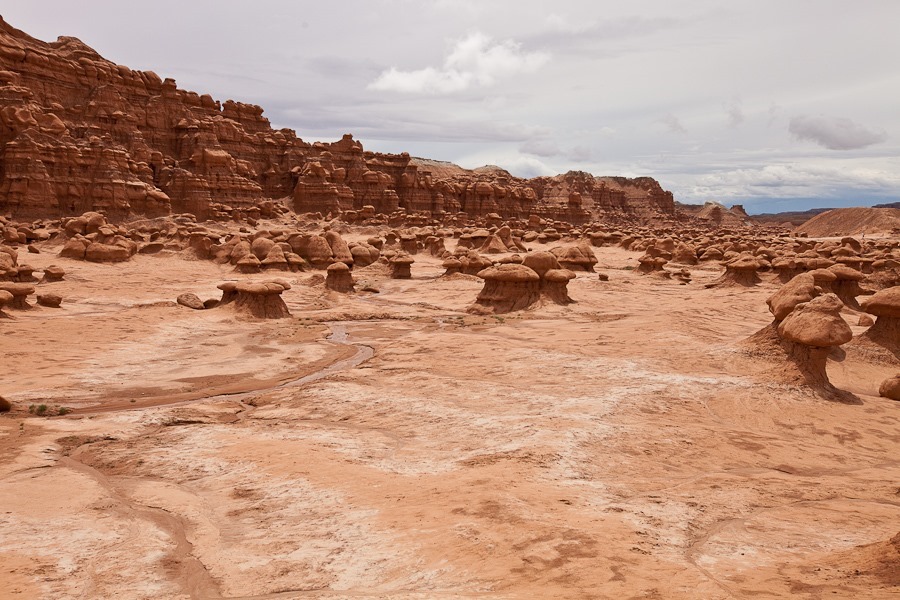
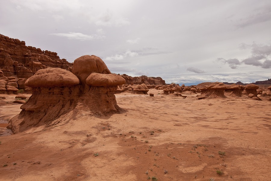
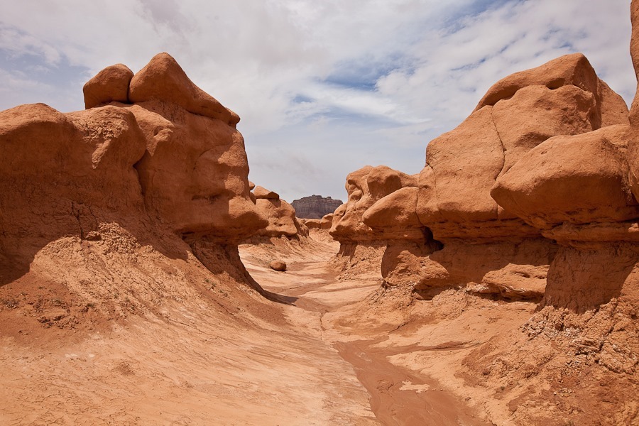
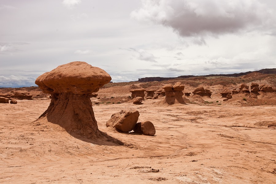
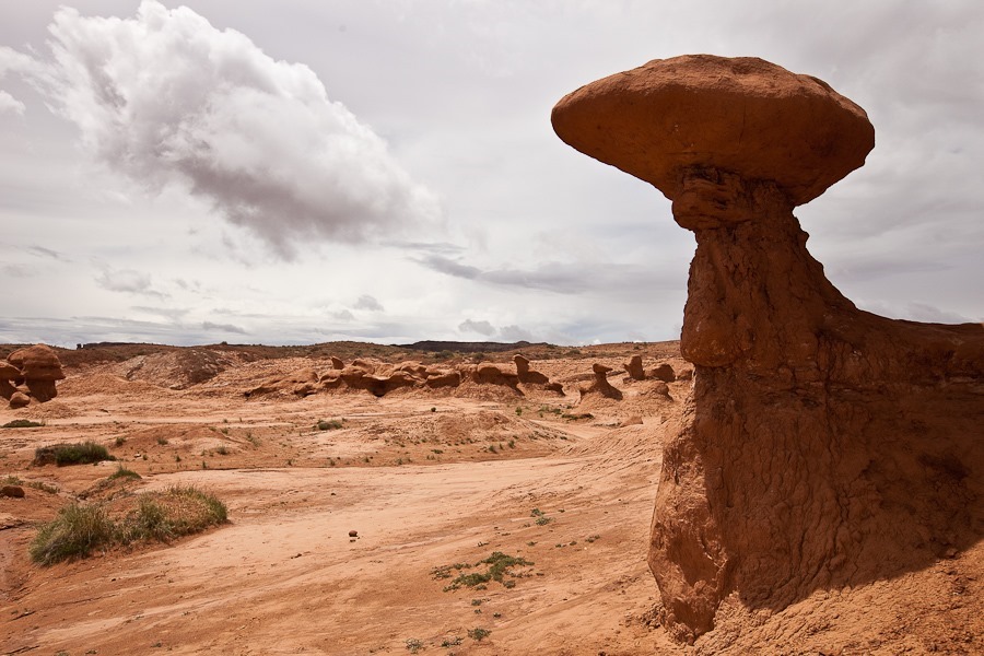
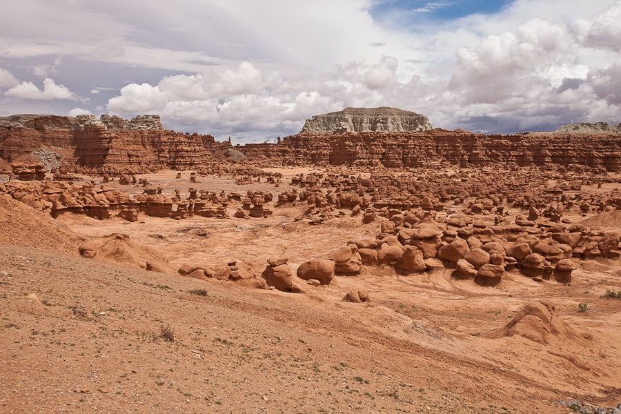
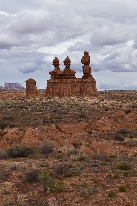
We drove into Goblin Valley State Park.  The park is known for its interesting hoodoos, which are called goblins here:

Day636_07

Day636_08

Day636_09

Day636_10

Day636_11

Day636_12

Day636_13

Day636_14

This area is composed of alternating layers of sandstone and siltstone.  The toadstool shape occurs because the softer siltstone of the “stem” erodes more quickly than he harder cap of sandstone:

Day636_15

Day636_16

Day636_17

Day636_18

Day636_20

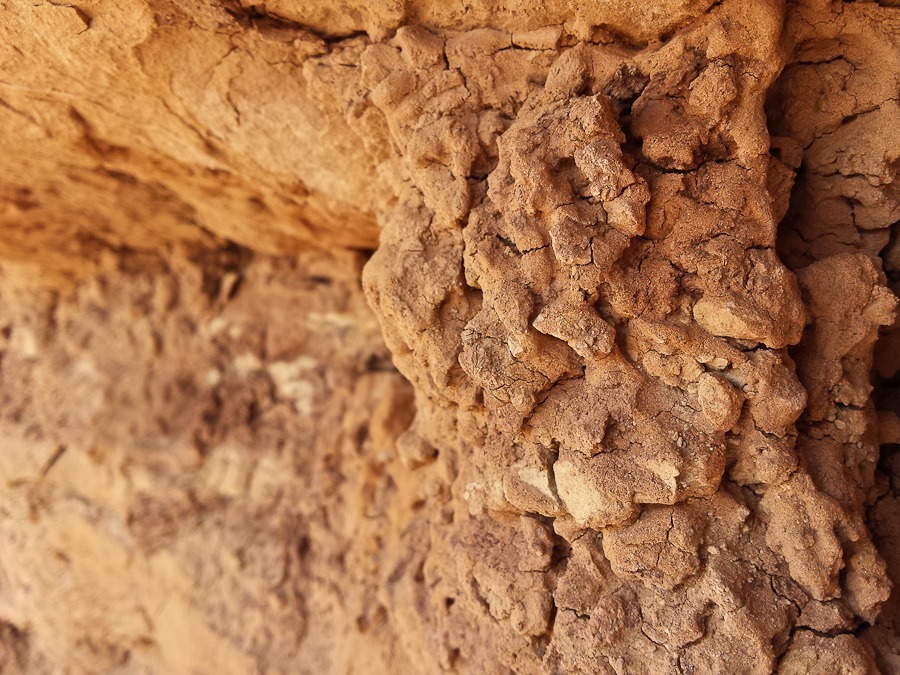
The siltstone is very soft:

Day636_21

Day636_22

Day636_23

Day636_24

Day636_25

Day636_26

Day636_27

Day636_28

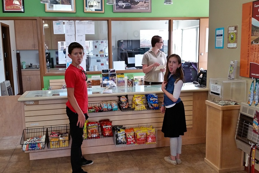
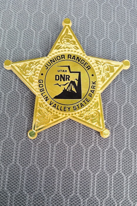
The kids received their junior ranger badges:

Day636_29

Day636_30

Not a bad view from the parking lot:

Day636_31

We unhitched and drove a few miles west to the trailhead for Little Wild Horse Canyon and Bell Canyon.  The canyon starts out normally enough:

Day636_32

Day636_33

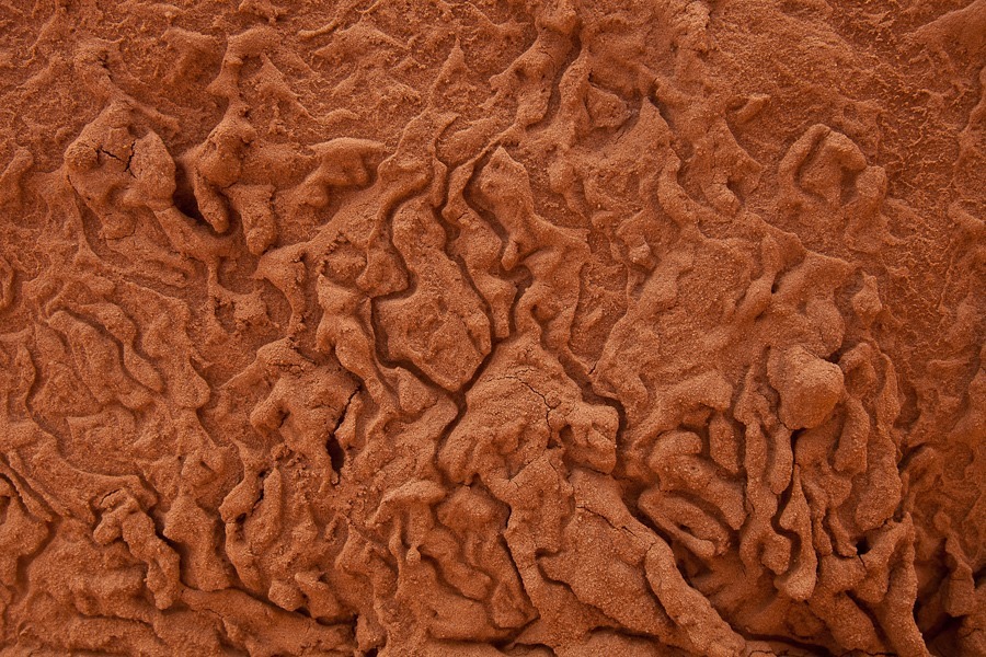
Interesting textures:

Day636_34

Day636_35

Day636_36

At the fork in the canyon, we decided to go up Little Wild Horse Canyon first:

Day636_37

Day636_38

Day636_40

Day636_41

Day636_42

Day636_43

Day636_44

Day636_45

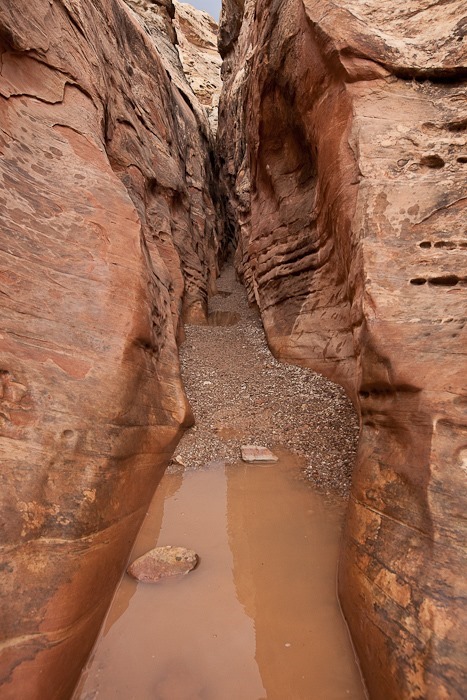
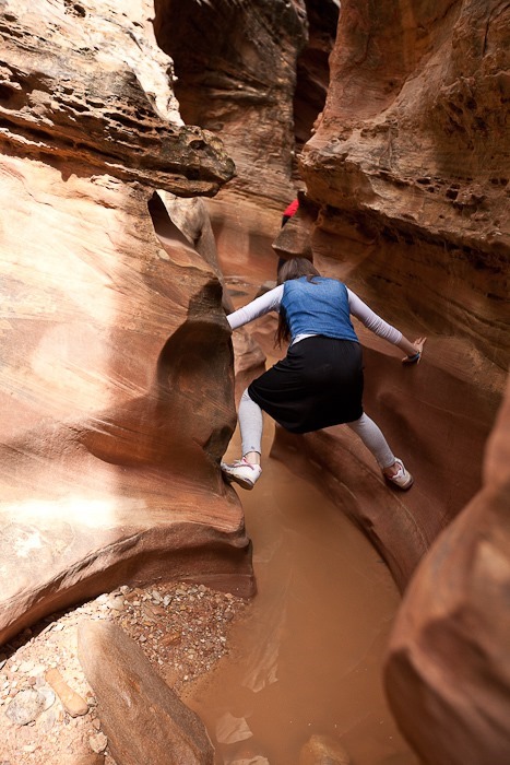
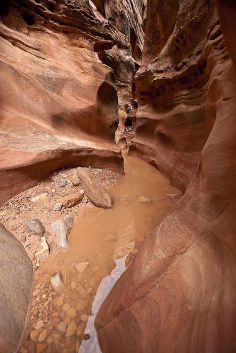
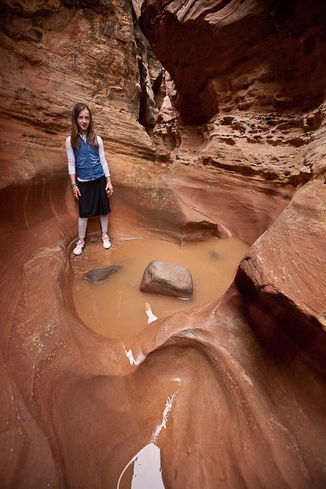
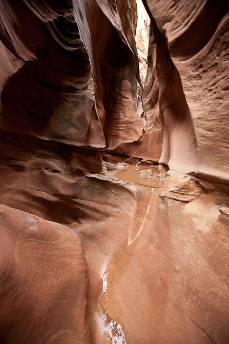
Eventually the canyon became water filled, so we had to climb the walls to avoid the water:

Day636_46

Day636_47

Day636_48

Day636_49

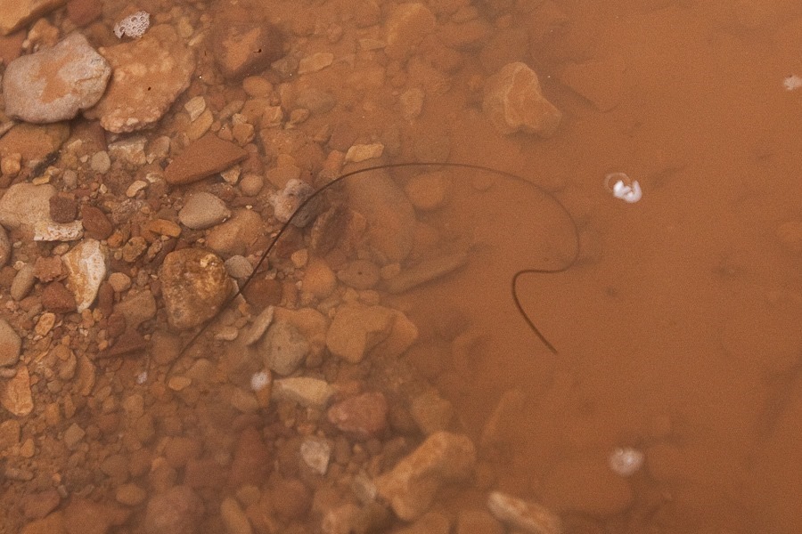
On the way down we spotted a wriggling Horsehair Worm.  In its larval stage, it gets eaten by a host animal like a cricket, then burrows out of the host’s stomach into the animal’s organ cavity and grows into a worm several inches long.  When ready to emerge from the host, it emits neurotransmitters that convince the host to jump into water (and usually drown) so that the worm can emerge into the water and swim away:

Day636_50

Here a harder layer of sandstone emerges from the canyon wall:

Day636_51

Day636_52

Day636_53

We hiked back down to the fork and hiked up Bell Canyon.  We pretty soon ran into deep pools:

Day636_54

Day636_55

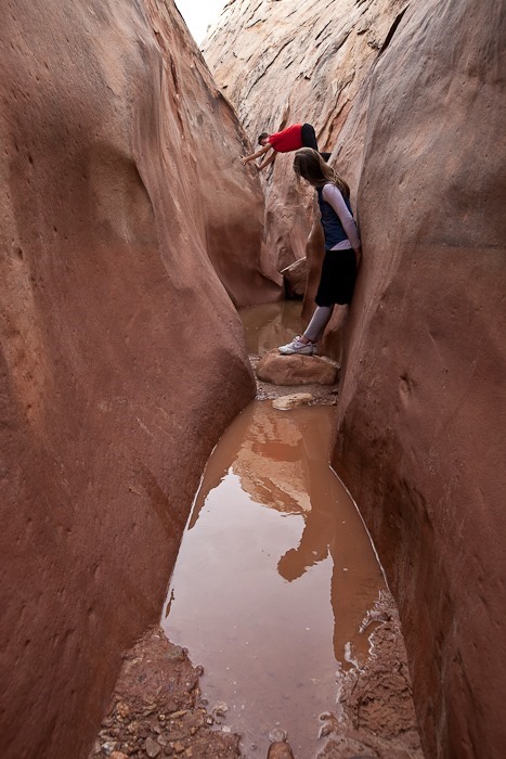
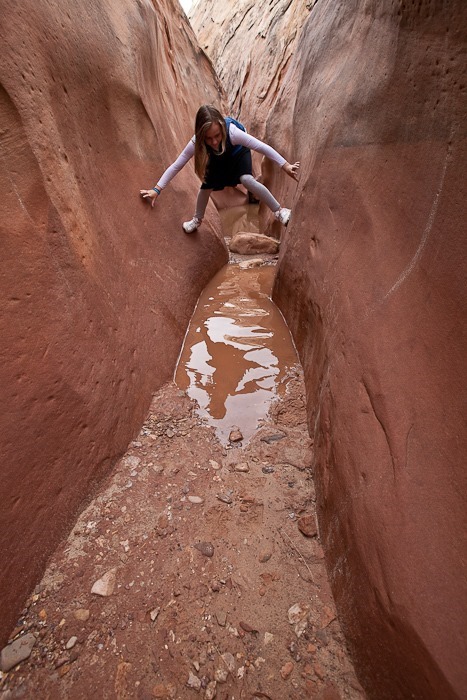
M got into trouble here as the walls were almost too wide for him to wedge himself between the walls.  He narrowly escaped getting really wet:

Day636_56

Heading out:

Day636_57

Day636_58

Day636_59

Day636_60

Day636_61

We left Goblin Valley State Park, driving north, east, and south back to Hanksville, where we used the grocery store’s WiFi:

Day636_62

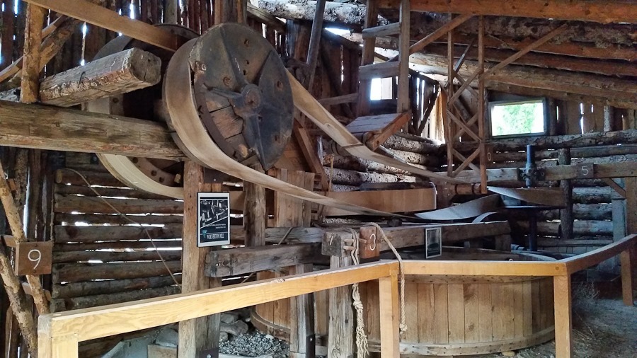
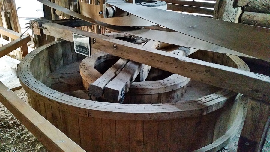
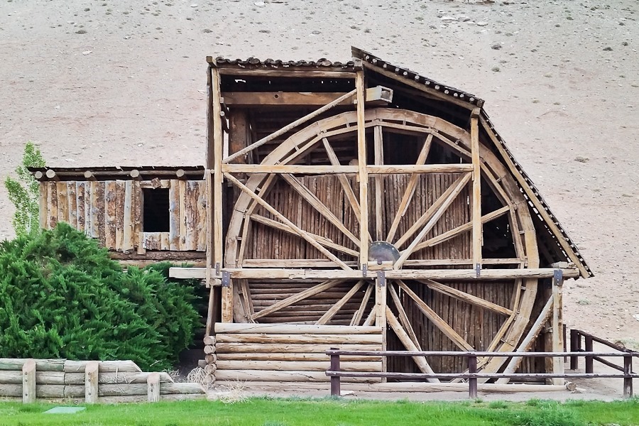
We visited the Wolverton Mill in Hanksville.  The mill is unique in that the waterwheel drives a gold ore crusher, an arrastra, and a saw for milling wood, all via a complex array of belts:

Day636_63

The arrastra:

Day636_64

Day636_65

Today we overnighted at a gas station on the east side of town.  See the trip map for today’s drive and our current location.

Day 635: Capitol Reef National Park, Day 2

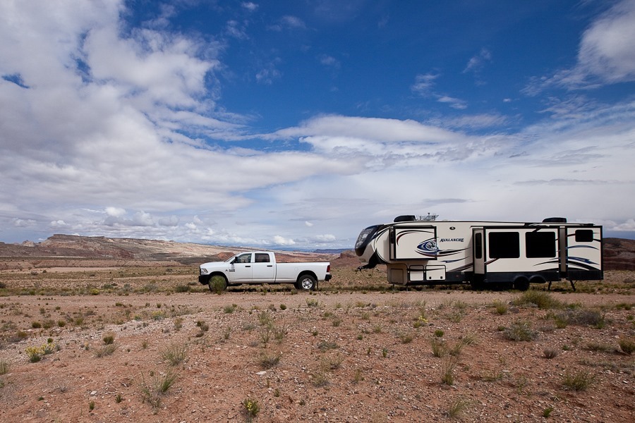
Another great dispersed camping site, this time just outside of Capitol Reef National Park:

Day635_01

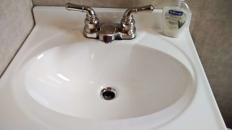
B took a moment to clean her bathroom sink this morning:

Day635_02

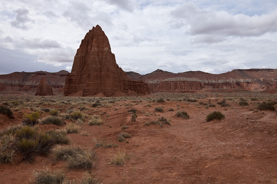
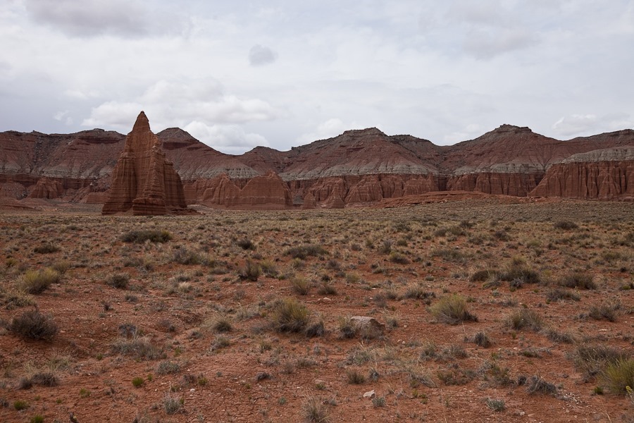
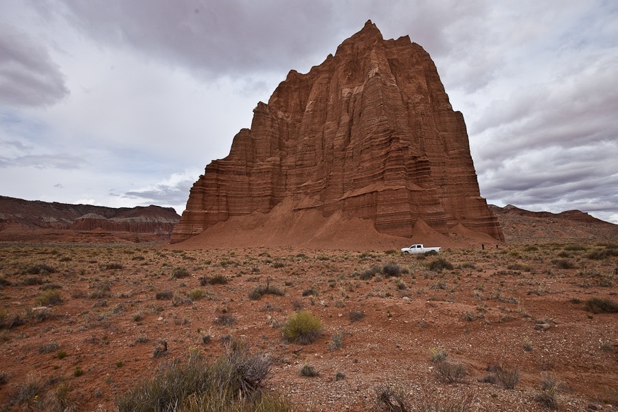
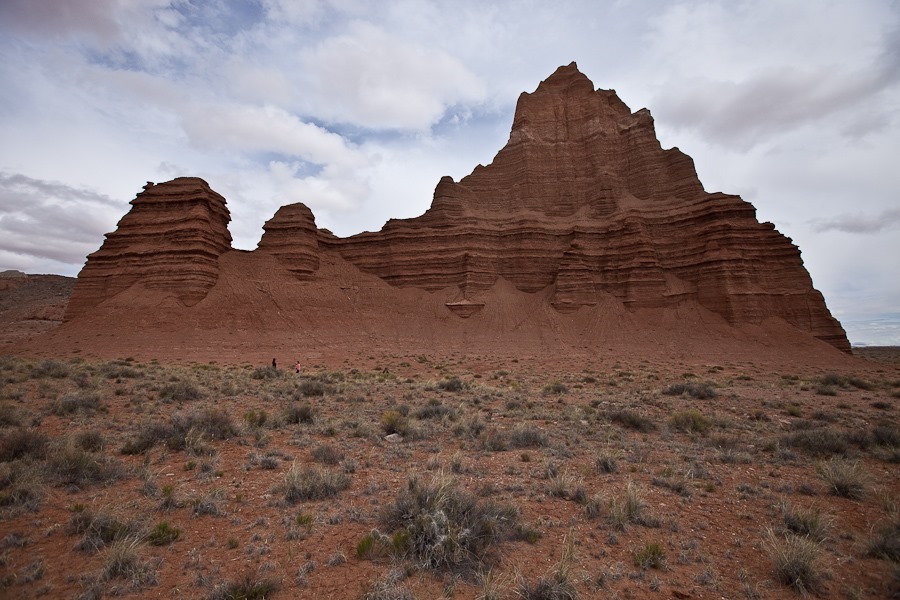
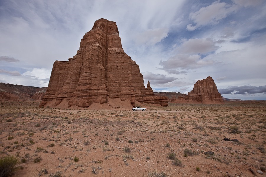
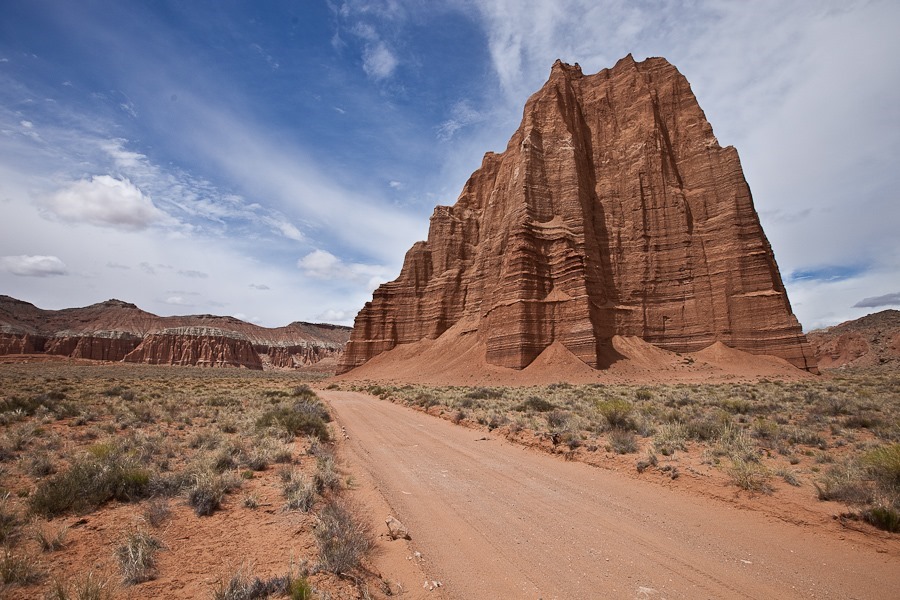
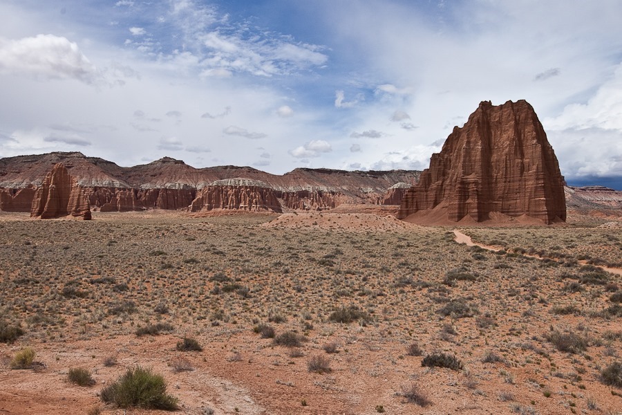
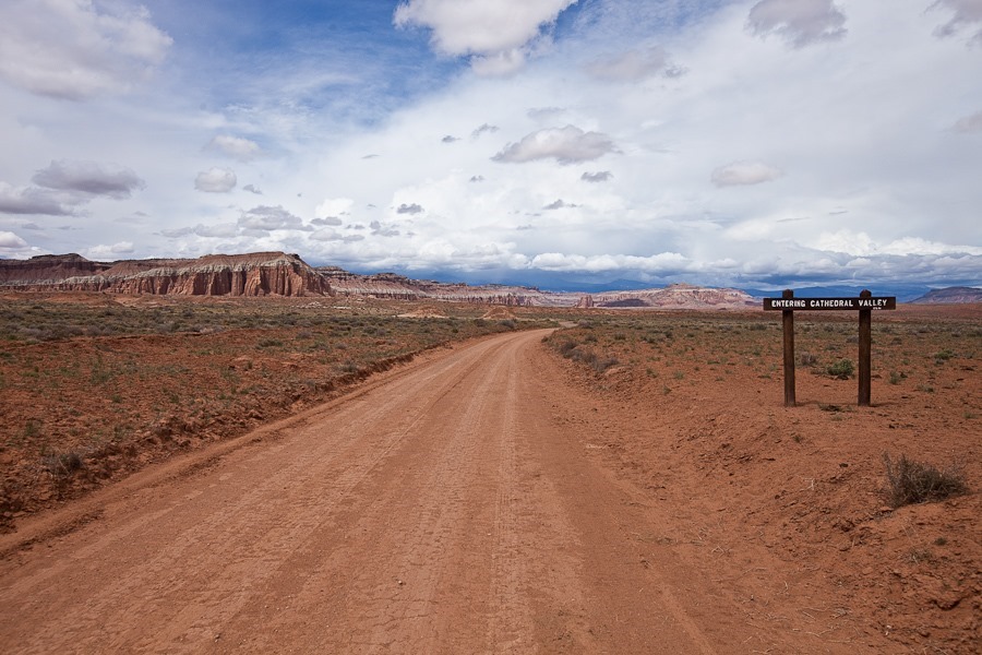
We drove north on a BLM road for about 20 miles to reach Cathedral Valley, the northernmost section of Capitol Gorge National Park.  The Valley contains the Temple of the Sun (TotS) monolith, as well as the smaller Temple of the Moon (TotM) monolith, seen here to the left of TotS:

Day635_03

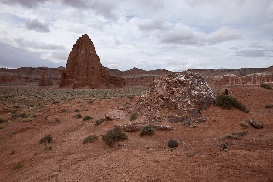
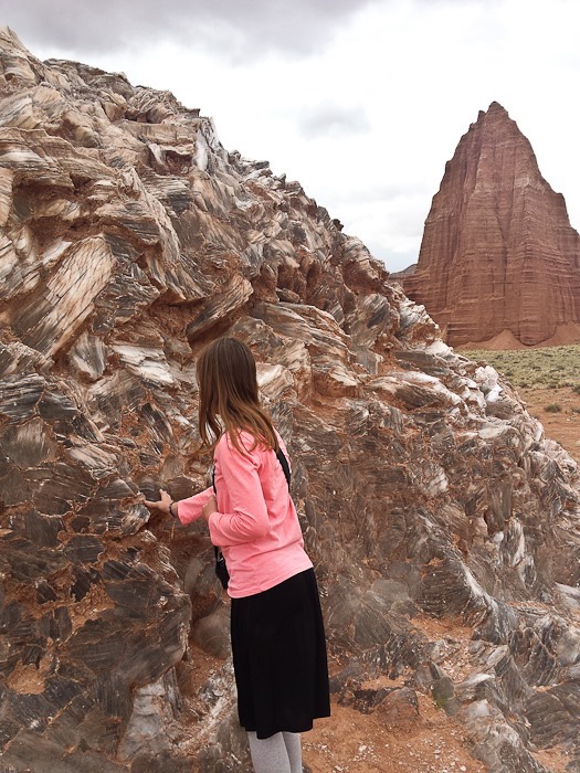
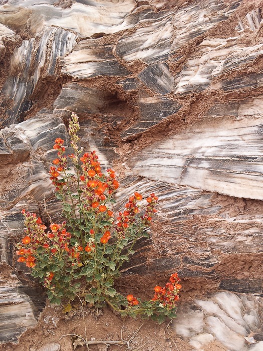
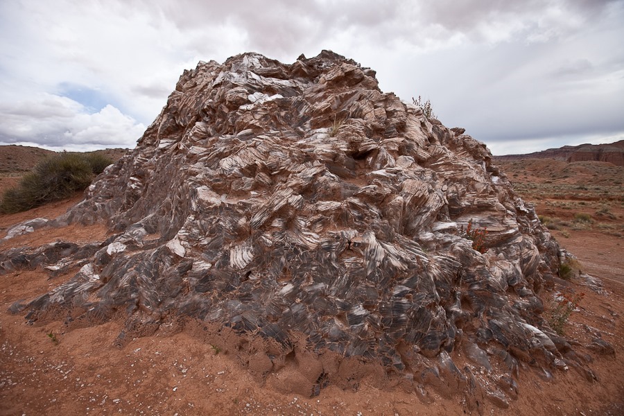
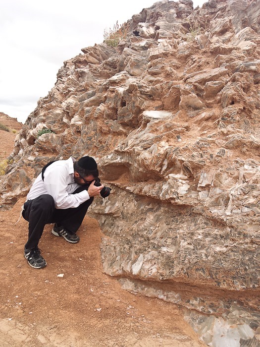
Our first stop was Glass Mountain, a selenite plug exposed by the weathering of surrounding softer material:

Day635_04

Day635_05

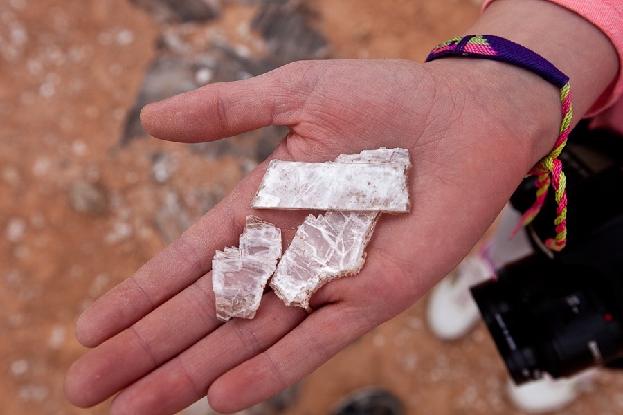
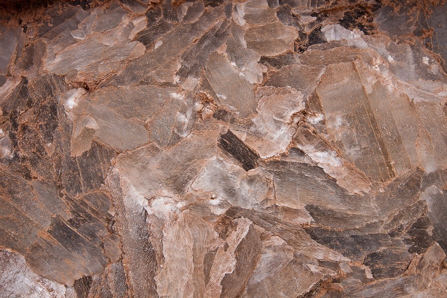
Selenite is soft and can be peeled into thin sheets:

Day635_06

Day635_07

Day635_08

Day635_09Day635_10

TotM in the distance:

Day635_11

We parked next to TotS and walked around it:

Day635_12

Day635_13

The back side of TotS:

Day635_14

Next we drove over to TotM and hiked around it as well:

Day635_16

Leaving TotS behind:

Day635_17

Day635_18

Day635_19

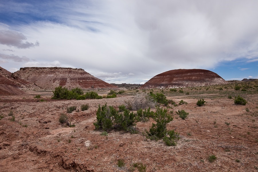
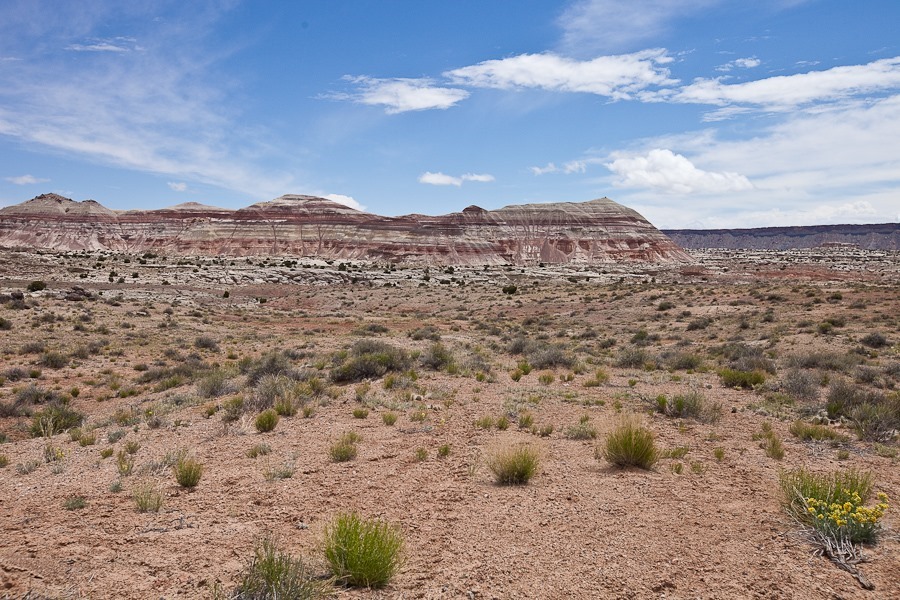
On the way back we passed these painted hills:

Day635_20

This outcropping is called Queen of the Wash:

Day635_21

Day635_22

Back near the main road, the Waterpocket Fold can be seen here coming right into the photo:

Day635_23

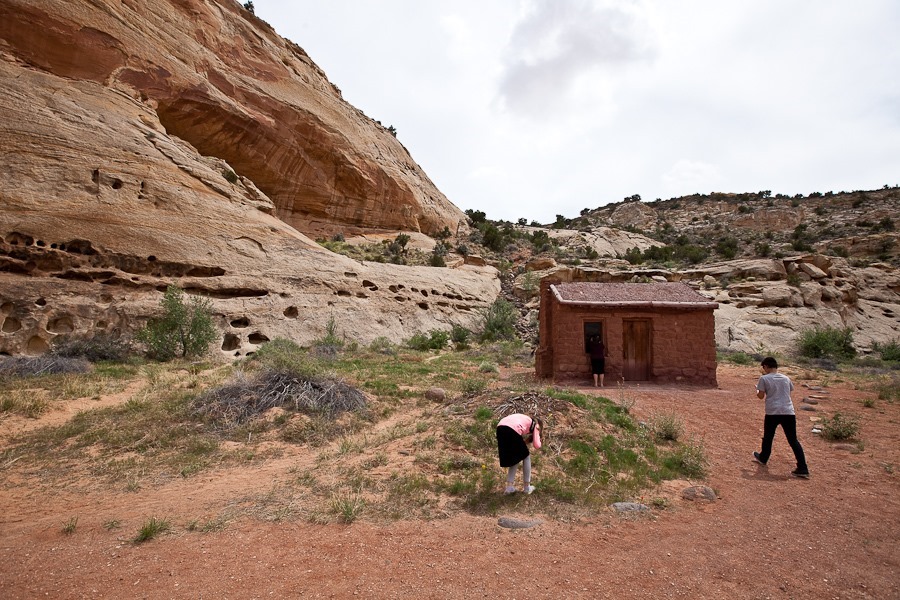
We stopped at the RV for lunch, then drove back into the park.  We stopped to peek into a preserved Mormon settler’s cabin:

Day635_24

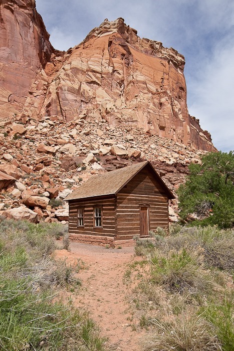
We also saw the one room school, which was in operation until the late 1940s:

Day635_26

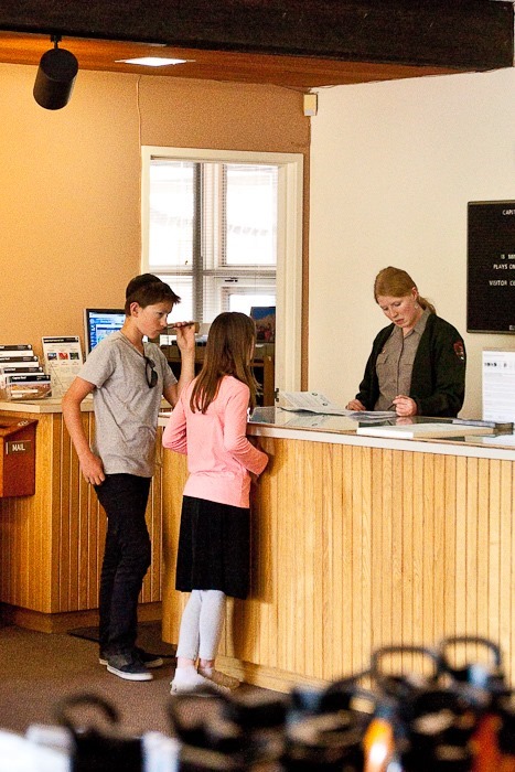
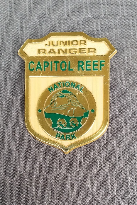
At the visitor center, the kids received their Junior Ranger badges:

Day635_27

Day635_28

M captured this photograph near the visitor center:

Day635_29

Day635_30

We visited the Gifford House in the Fruita complex, now operated as a museum and gift shop:

Day635_31

Day635_32

Day635_33

We visited the horses again:

Day635_34

Day635_35

Day635_36

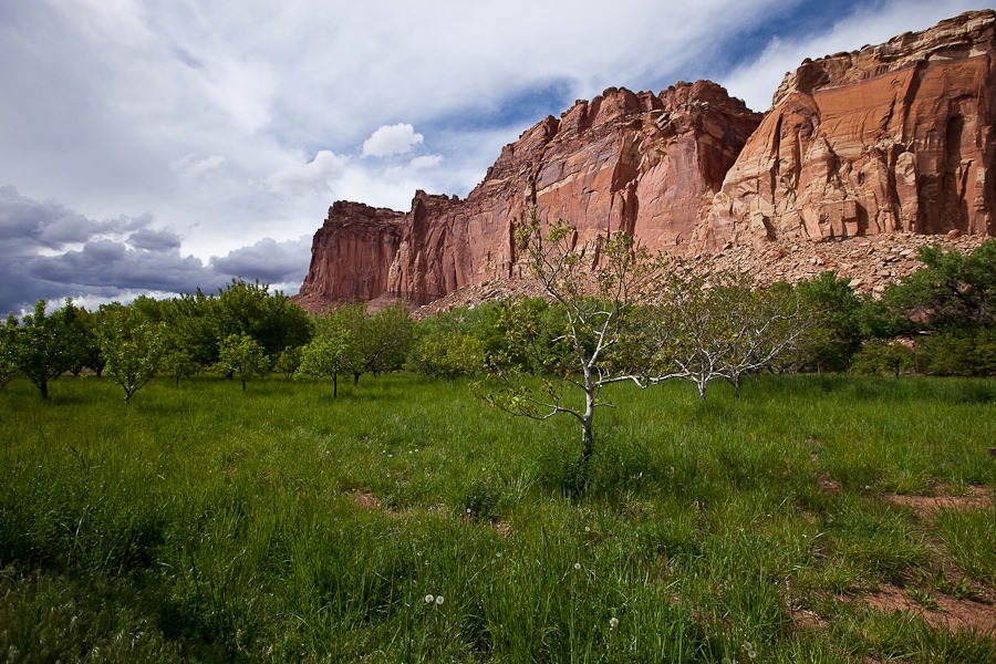
The orchards of Fruita:

Day635_37

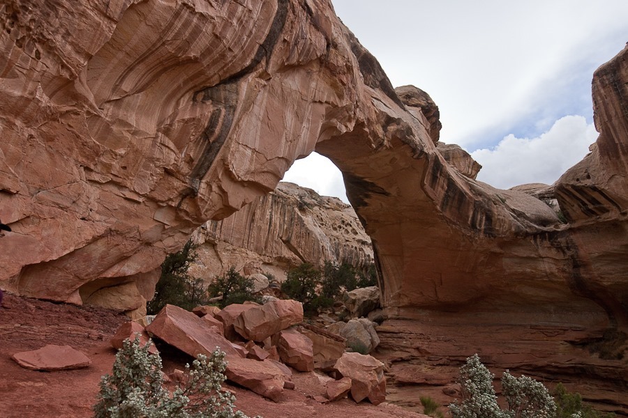
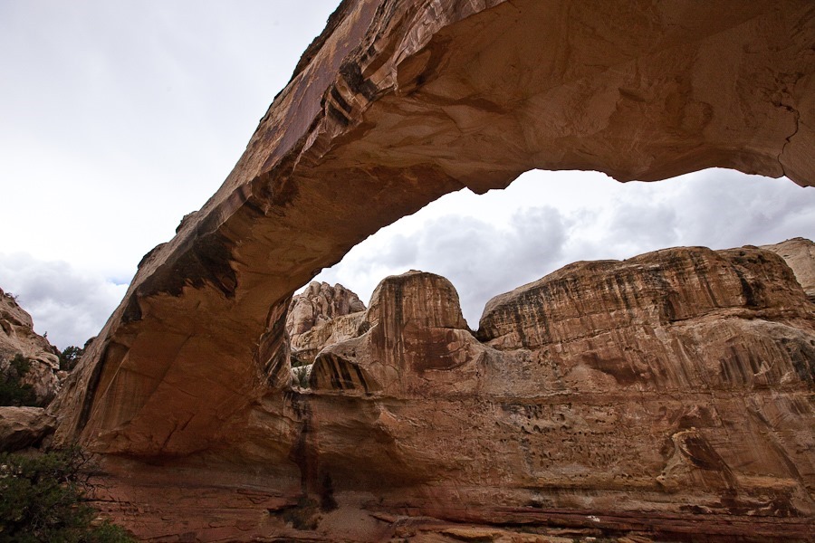
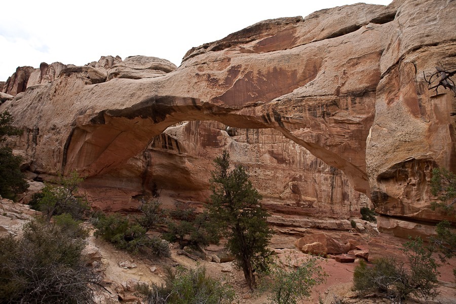
On our way out of the park, we stopped at the Hickman Bridge trailhead:

Day635_38

Day635_39

The weather made us nervous, but we kept going:

Day635_40

Day635_41

We found a set of small natural bridges in the creek bed:

Day635_43

Day635_44

The bridge blends in with the stone behind it, but it’s there:

Day635_45

Day635_46

Day635_47

Day635_48

Day635_49

Day635_50

Day635_51

After the hike, we drove back to the RV and hitched up.  We drove east to Hanksville, stopping for groceries and WiFi.  We then drove north, west, and south to a dispersed camping location just outside Goblin Valley State Park.  See the trip map for today’s drive and our current location.

Day 622: Bryce and Slot Canyons

It was another chilly morning in the Dixie National Forest:

Day622_01

We went back into Bryce Canyon National Park where the kids submitted their Junior Ranger books and received their badges:

Day622_02

We drove east and descended off the plateau:

Day622_03

We stopped in Cannonville to visit one of the Grand Staircase-Escelante National Monument visitor centers, across the street from this abandoned house:

Day622_04

Day622_05

We got a permit at the visitor center to do dispersed camping in the Monument, and found this nice spot:

Day622_06

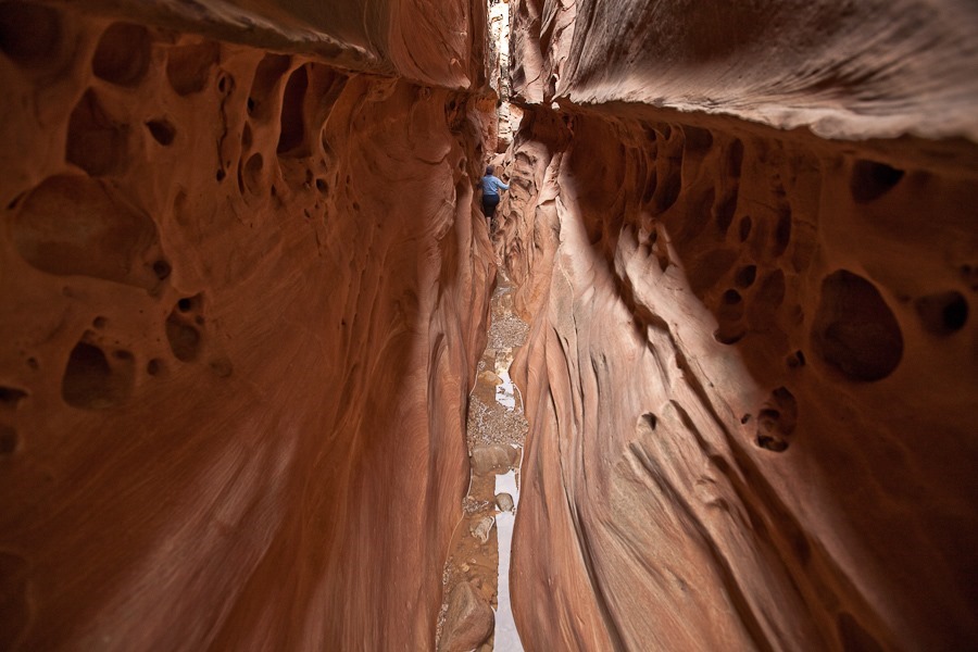
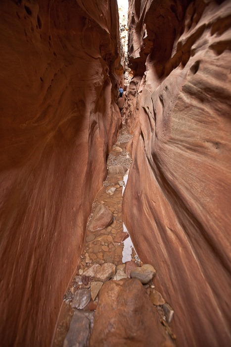
We detached the truck from the RV and drove to Willis Creek, where we hiked the narrow canyon:

Day622_07

Day622_08

Day622_09

Day622_10

Day622_11

A waterfall forced us to hike around to get back into the canyon:

Day622_12

Day622_13

Day622_14

Day622_15

Day622_16

Day622_17

Day622_18

Towards the end of the hike, the canyon widened:

Day622_19

Heading back:

Day622_20

Day622_21

Day622_22

Day622_23

Another waterfall:

Day622_24

The hike track is in two parts:

Driving south, we stopped at Bull Valley Gorge, a difficult to traverse and deep slot canyon.  We drove across the bridge and parked, then walked back across the bridge and walked along the edge.  Looking back, a shiny object is visible in the rubble that makes up the bridge:

Day622_25

See the truck wedged in the bridge?  In 1954, a truck with three occupants missed the bridge and fell 60 feet into the canyon.  Two occupants fell out of the truck to their deaths over a hundred feet below on the canyon floor.  The third occupant died in the truck, and his body wasn’t extracted until months later.  Eventually, it was decided that the truck would make a great base for a new bridge.  Rock, trees, and stone were pored into the canyon over the truck until the debris pile was flush with the canyon rim, and that was the new bridge:

Day622_26

We drove back to the RV in time for sunset:

Day622_27

Day622_28

B and I went for a walk and found some flowers growing under a tree:

Day622_29

Day622_30

See the trip map for today’s drive and our current location.