Day 587: Tuzigoot and Jerome

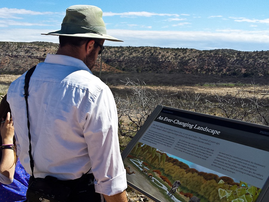
This morning we drove north to Tuzigoot National Monument, where a 14th-century, 110-room Sinaguan pueblo was discovered and rebuilt in the 1930s.  We first did the marsh hike:
Day587_01-2

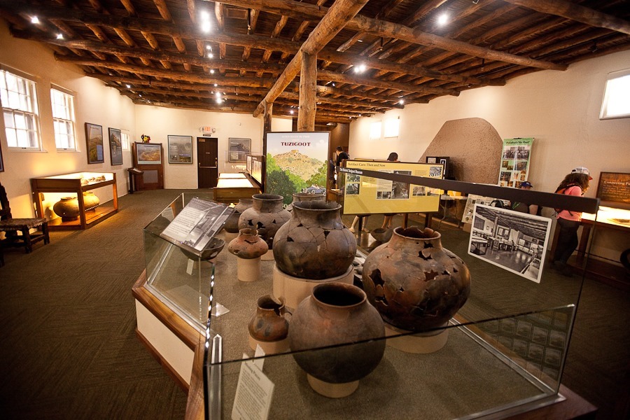
Next we visited the visitor center:

Day587_02

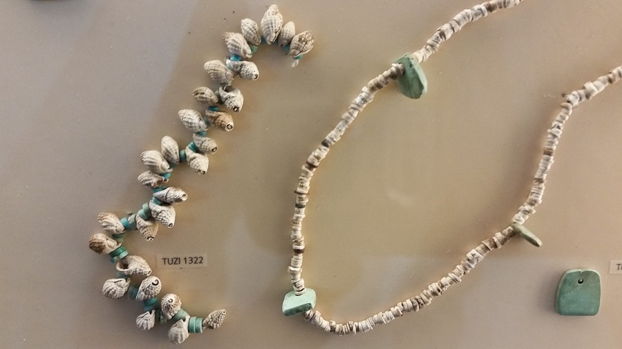
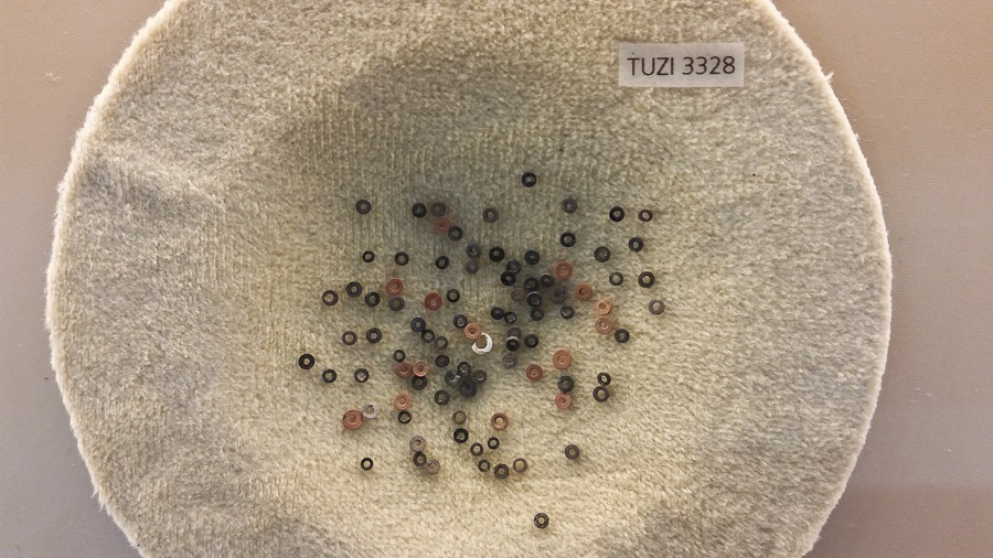
It was fascinating to see 500 year old jewelry:
Day587_03

Day587_05

The Indians here mined and traded a number of colorful minerals:
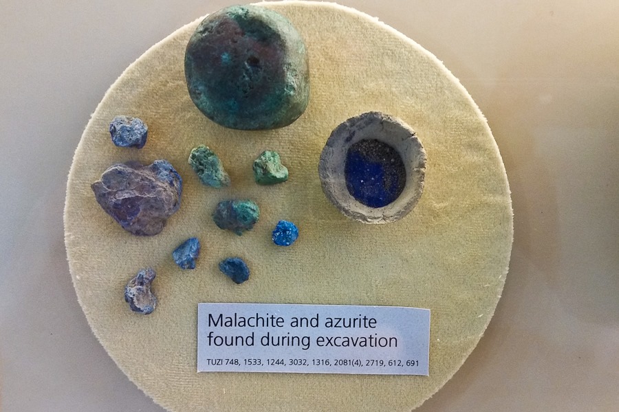
Day587_04

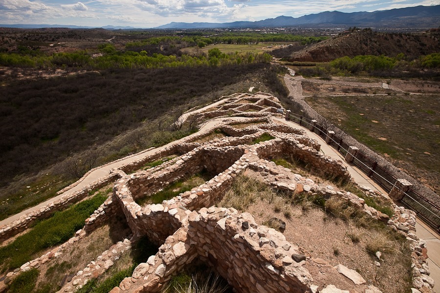
Next we hiked out to the pueblo site:
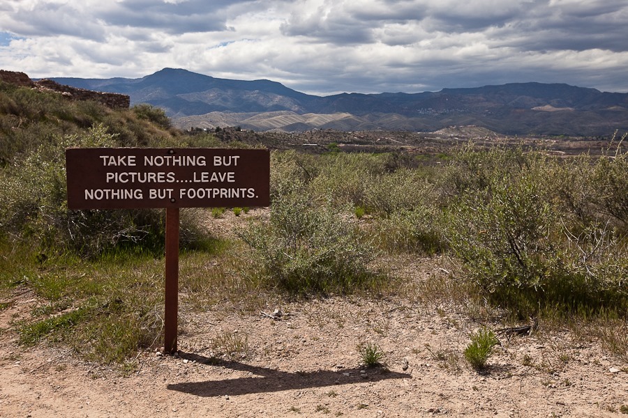
Day587_06

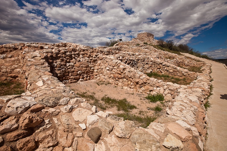
When the site was found in the 1930s, the walls had all collapsed, leaving behind the only the lowest row of stone and mortar.  The park service reconstructed the site to give visitors a better idea of what it looked like back in the day.

Looking north from the top:
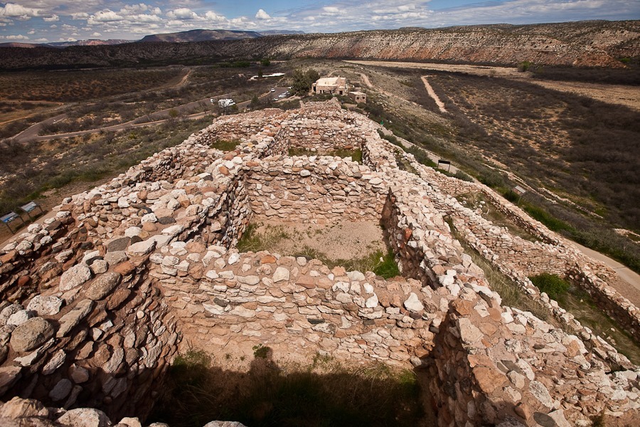
Day587_08

And South:

Day587_09

Day587_10

The park service rebuilt this enclosed room to give visitors a better idea of what the dwellings look like inside:
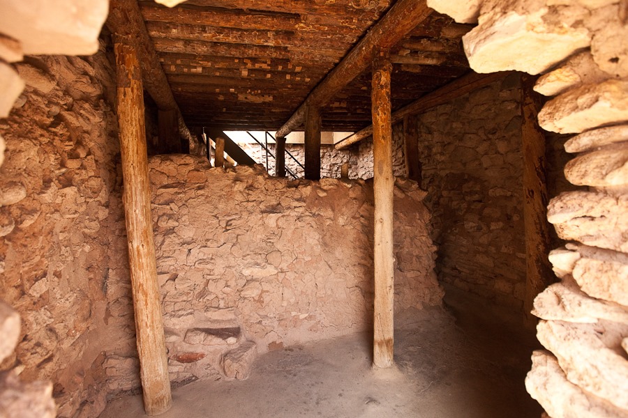
Day587_07

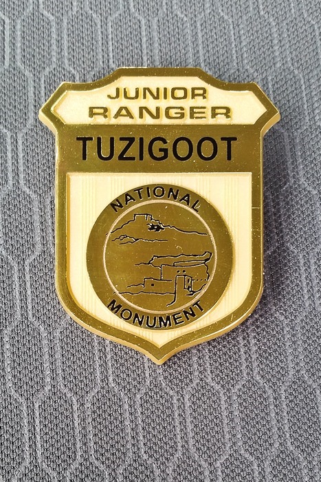
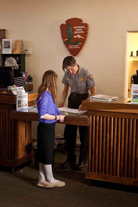
The kids earned their Junior Ranger badges:
Day587_11

Day587_12

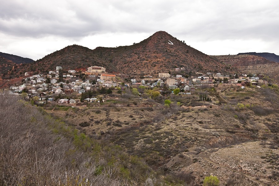
Next we drove west to the hillside town of Jerome:
Day587_13

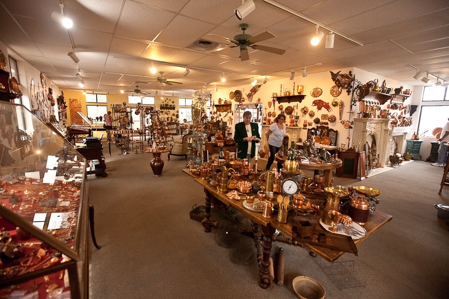
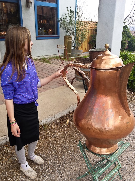
Jerome has many galleries and shops.  We stopped to visit this copper boutique:
Day587_14

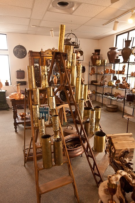
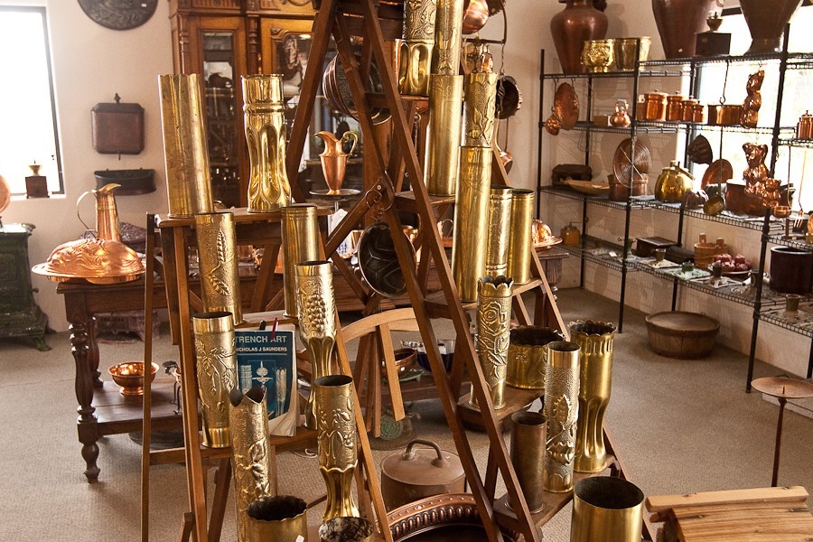
The shop had a number of artillery cartridges from World War I that soldiers at the time had crafted into trench art:
Day587_16

Day587_16-2

Day587_17

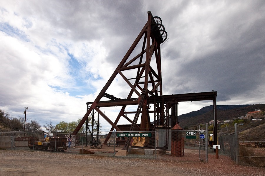
We also visited the Audrey Shaft Headframe Park.  The headframe stands above a 1,900 foot deep shaft that was use to bring copper ore to the surface.  The mine eventually produced over 500,000 tons of copper:
Day587_18

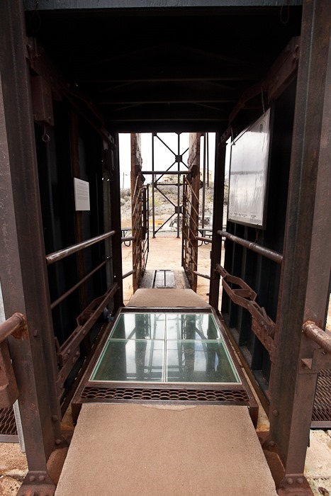
The shaft itself is covered with an acrylic walkway.  Walking over it, we could look down into the darkness as we stood over a 1,900 foot vertical drop below our feet.  Falling down the shaft would entail a free-fall 650 feet longer than from the roof of the Empire State Building to ground level:
Day587_19

We tried to explore downtown Jerome, but parking was a problem, so we returned to Cottonwood and did some grocery shopping before returning to the RV.
Day 583: Montezuma Castle National Monument

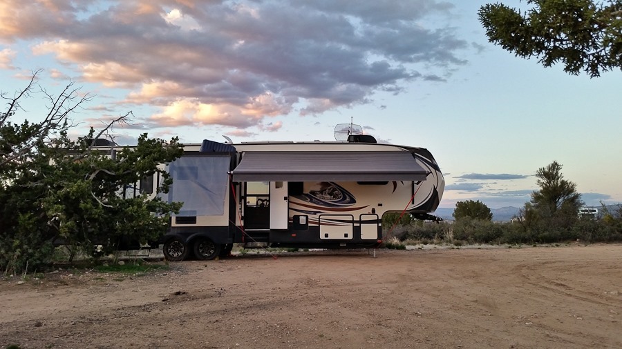
Our move north from the Phoenix area seems to have been a success.  Daytime highs here are in the low 70s.
We are near Sedona, at roughly 3,500 feet:

Day583_01

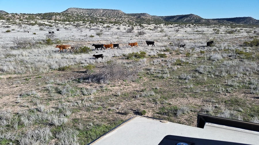
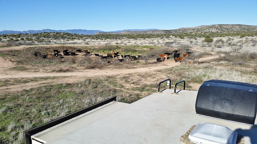
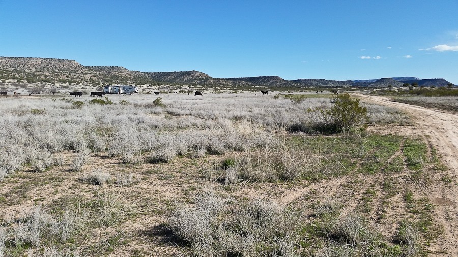
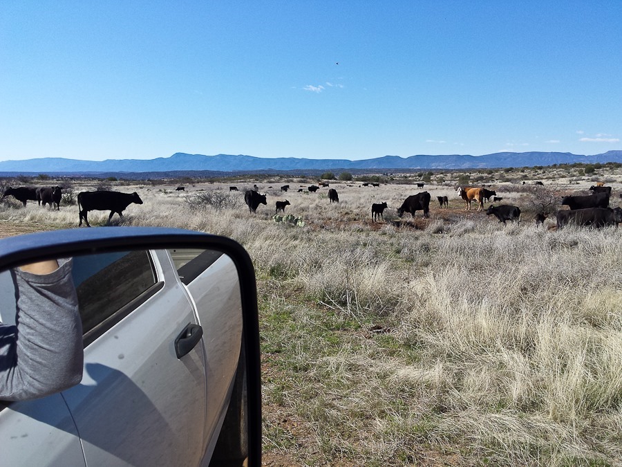
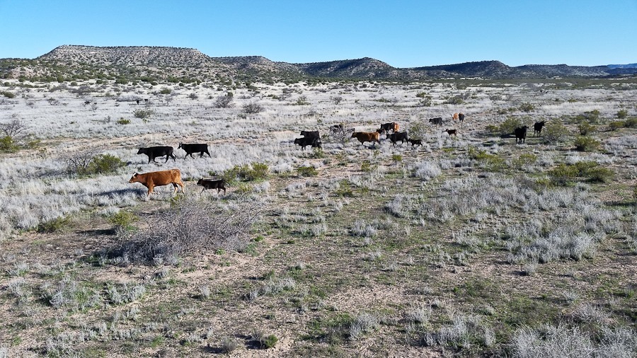
It turns out that we had overnighted next to a watering hole.  In the morning, the cows came down to drink:

Day583_02

Day583_03

Day583_04

Afterwards, they spread out and resumed their usual bovine duties:

Day583_05

Since dispersed camping regulations don’t allow us to park within a quarter mile of a livestock water source, we hitched up and said goodbye to our erstwhile neighbors:

Day583_06

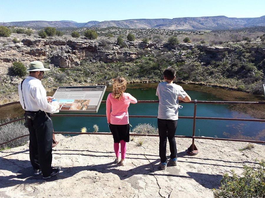
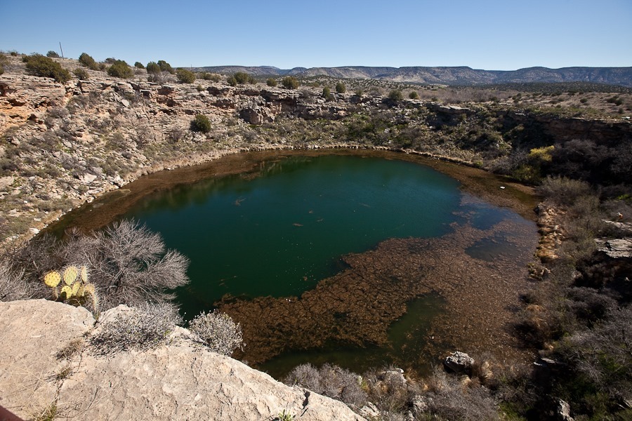
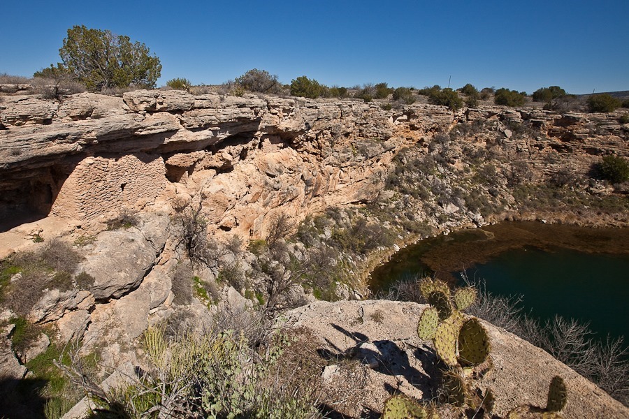
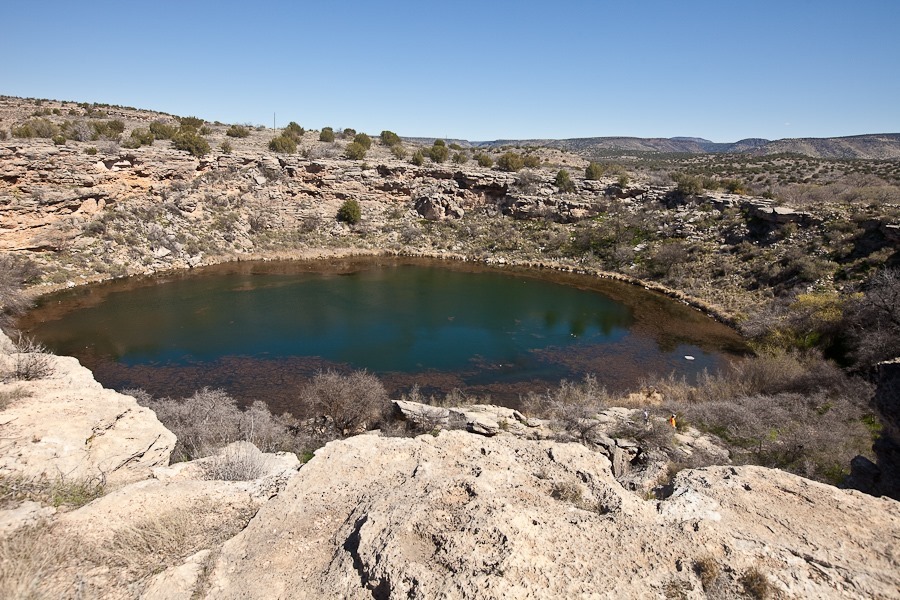
We stopped at the Motezuma Well unit of Montezuma Castle National Monument.  The “well” is a 15 million gallon spring.  The water, seeping up from below, eventually created the massive sinkhole we see today:

Day583_07

Day583_08

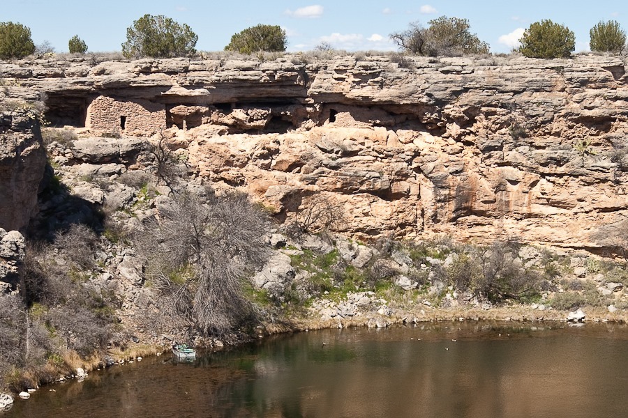
Ancient Native American cliff dwellings line the rim:

Day583_09

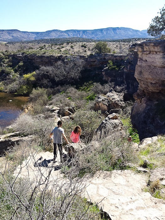
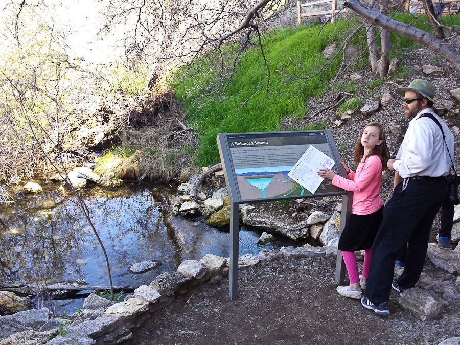
We hiked down to where 1.5 million gallons of water exit the well each day through a tunnel under the wall of the sinkhole:

Day583_10

Day583_11

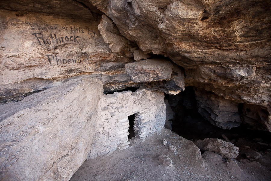
A turn of the century photographer wrote his name on the rock above an ancient Indian dwelling:

Day583_12

Day583_13

Another view of the cliff dwellings:

Day583_14

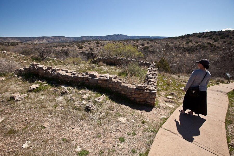
Remnants of a pueblo built above the spring’s rim:

Day583_15

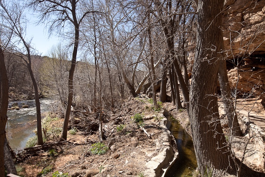
Outside the sinkhole, the water from the spring reappears from the natural tunnel under the sinkhole wall.  Native Americans built a canal over a thousand years ago to use this water to irrigate their fields.  A creek flows to the left of the canal:

Day583_16

Day583_17

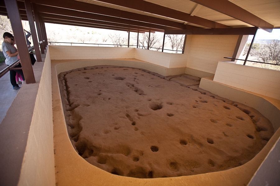
Near the spring, remnants of a pit house have been discovered, thought to have been built around the year 1050:

Day583_18

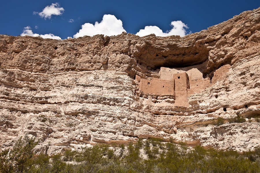
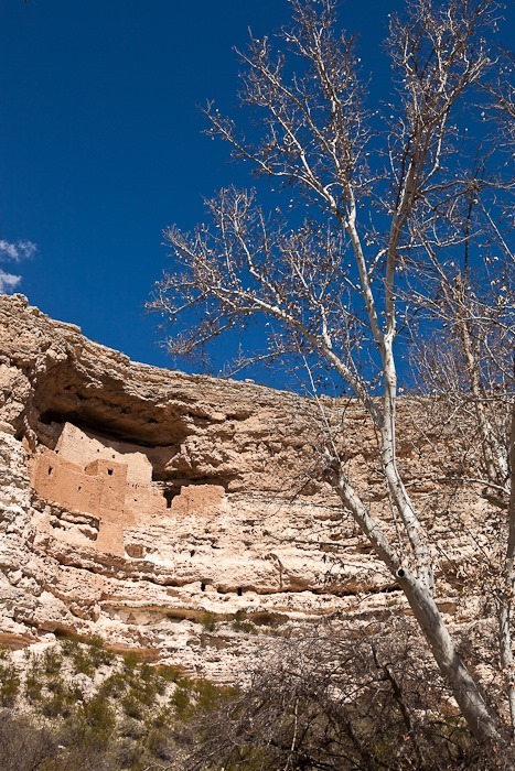
Continuing west, we visited Montezuma Castle National Monument, whose primary feature is a cliff dwelling thought to have housed about 30 people until the early 1400s:

Day583_19

Day583_20

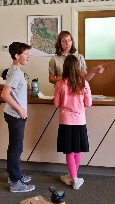
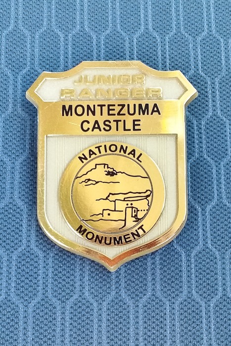
The kids received their Junior Ranger badges:

Day583_21

Day583_22

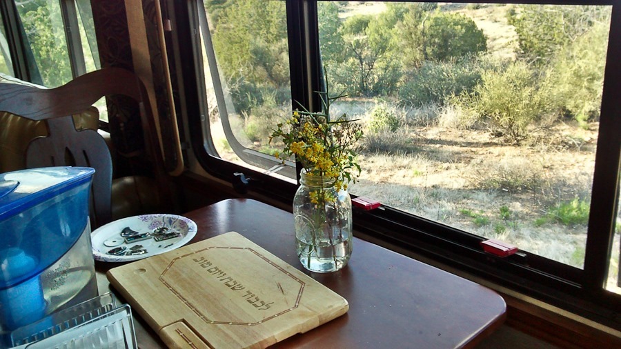
Continuing west and north, we found a nice dispersed camping location near Cottonwood, Arizona.  B picked some flowers for the Shabbos table:

Day583_23

We’re looking forward to cooler weather here.  Good Shabbos from near Cottonwood, Arizona!

Day583_24

Day 553: From a Sea of Salt to a Sea of Sand

This morning we packed up the RV and left the Salton Sea.  I was sad to leave, as the PPG flying there is fantastic.  Hopefully we will be back again soon.

Update: Here’s a video montage of solo flights 14 through 31, which were flown at the Salton Sea:

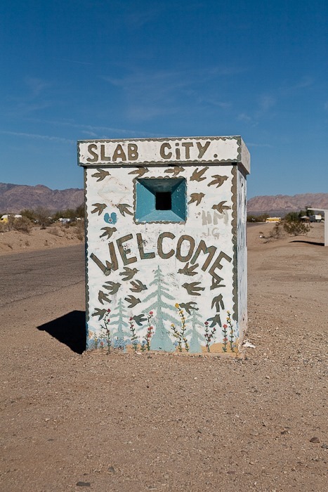
We drove south and east around the southern end of the Salton Sea.  Trish wanted to photograph an art installation at The Slabs, which we very briefly visited on Day 174.  The art installation Trish wanted to photograph was in the center of The Slabs, and we decided we didn’t want to expose the kids to that, so Trish took the truck to The Slabs while the three of us waited for her in the RV:

Day553_01

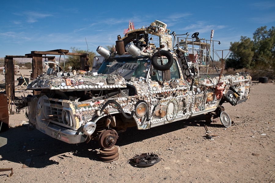
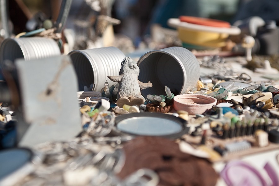
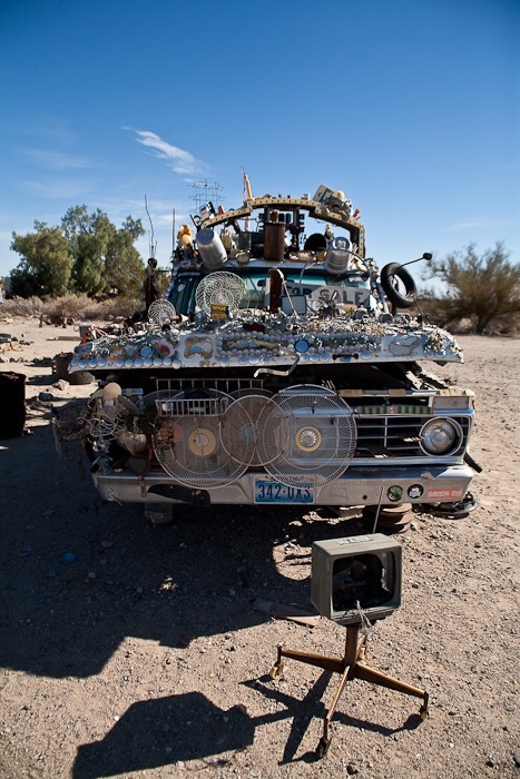
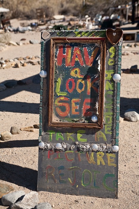
People that live here year-round add their own quirky structures and art to this abandoned military installation in the middle of nowhere:

Day553_02

Day553_03

Day553_04

Day553_05

Day553_06

Day553_07

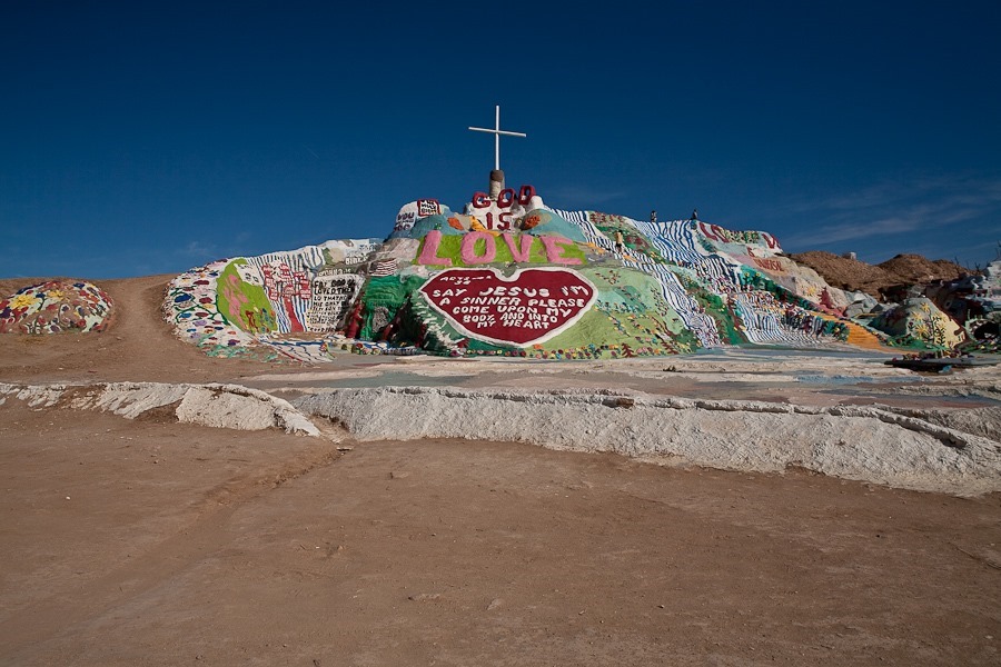
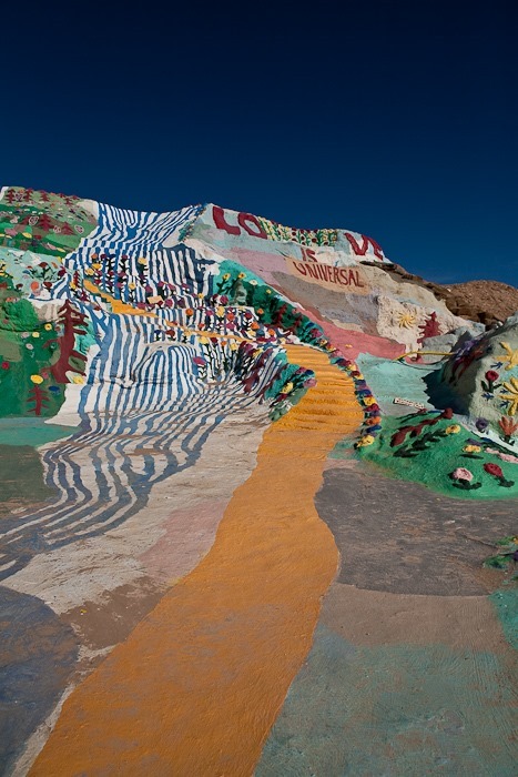
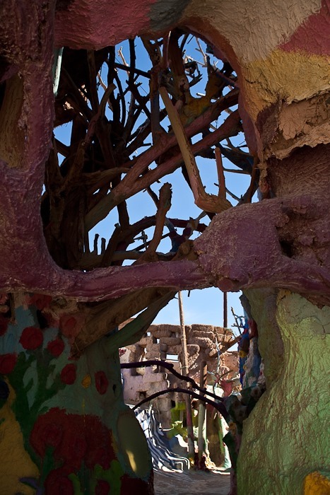
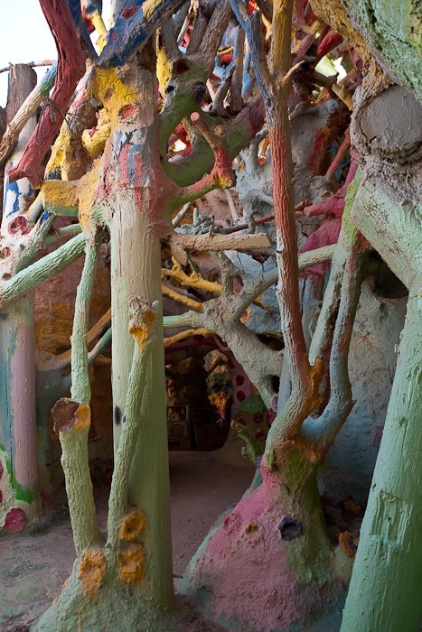
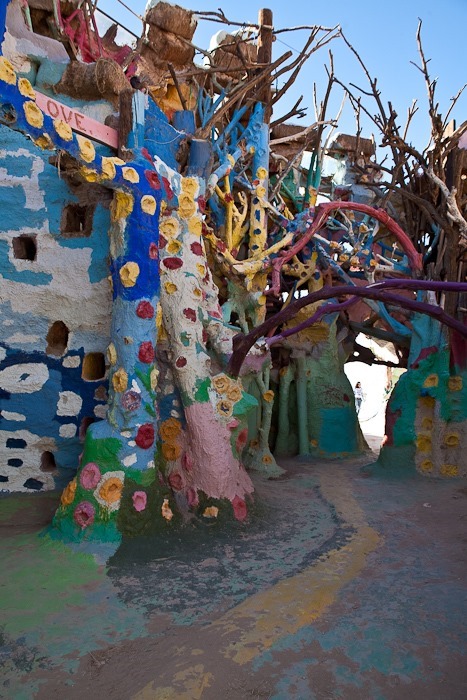
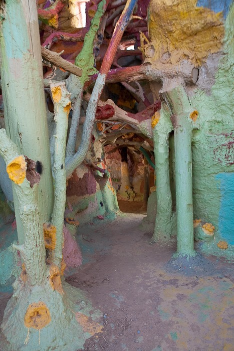
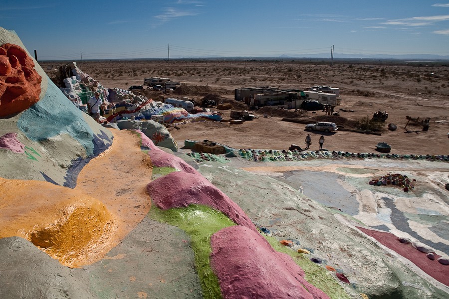
Eventually Trish made it over to Salvation Mountain, a religious-themed structure built of plaster over hay bales :

Day553_08

Day553_09

Day553_10

Day553_11

Day553_12

Day553_13

Day553_14

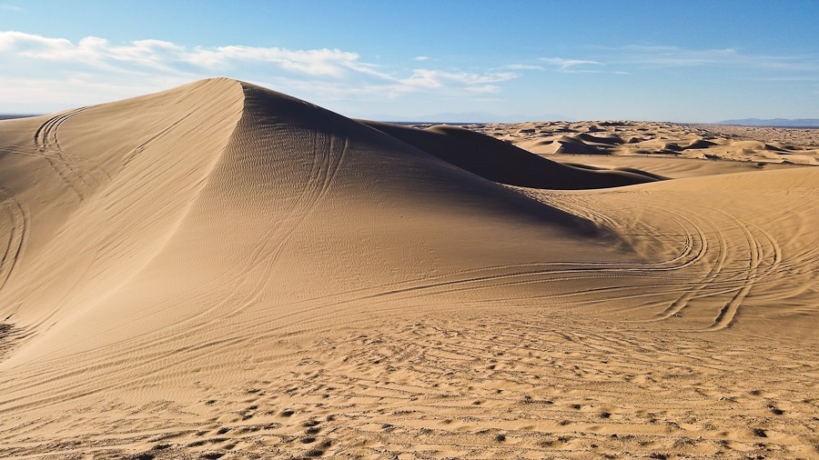
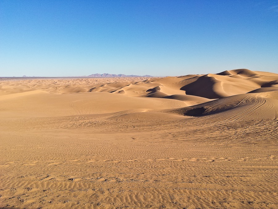
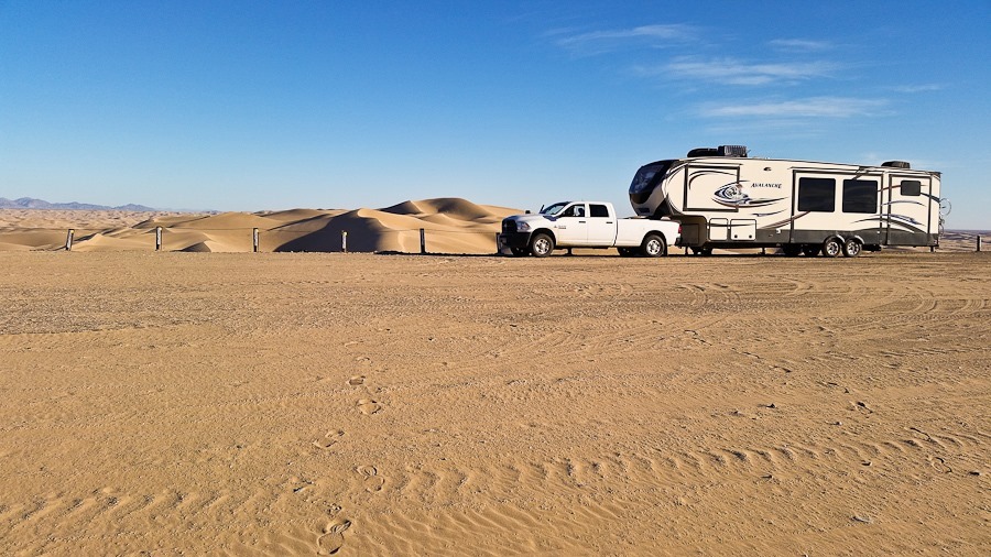
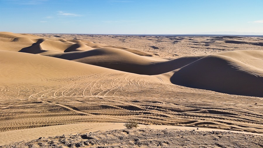
Trish came back to the RV and we continued east to the Imperial Dunes National Recreation Area.  We stopped at an overlook to view the 45 miles by 6 mile dune filed, the largest dune field in the US:

Day553_15

Day553_16

M and B climbed a nearby dune and tried sledding down it with mixed results:

Day553_17

Day553_18

Day553_19

The dune area required a permit, so we drove just out of the permit area to overnight on BLM land.  It’s nice to get a little solitude after last week:

Day553_20

See the trip map for today’s drive and our current location.

Day 543: Relocating to the Salton Sea

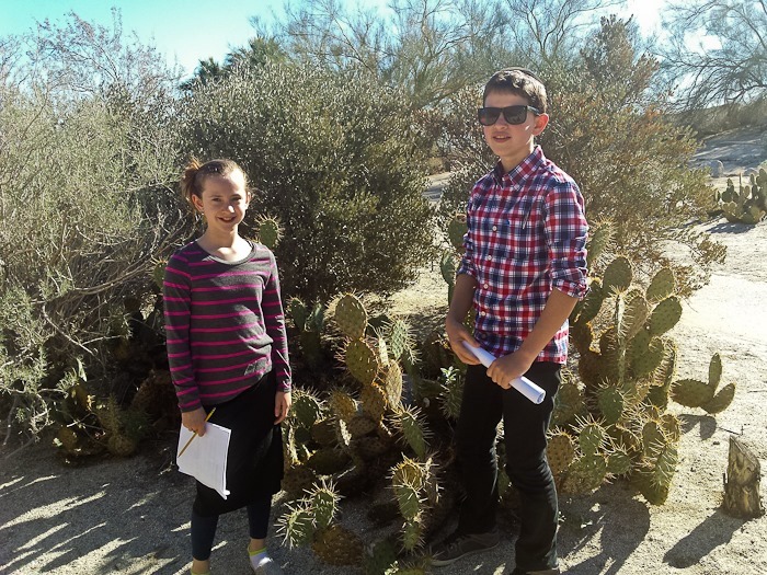
This morning Trish took the kids to the Anza Borrego State Park visitor center where they received their Junior Ranger badges:

Day542_01

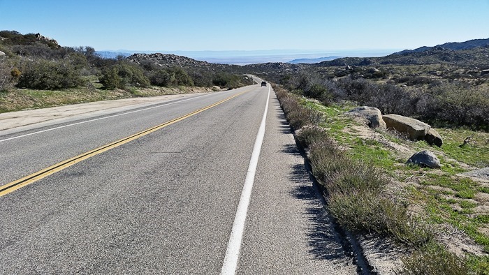
Meanwhile, I was riding up Montezuma Grade, a 3,900 foot climb over 10 miles.  At the summit, at 4,500 feet, it looks a lot less like a desert:

Day542_02

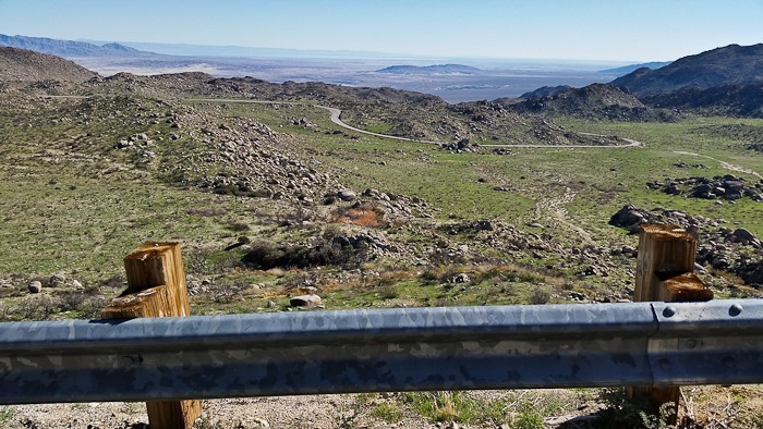
Looking back towards Borrego Springs, I could see all the way to the mountains on the far side of Salton Sea:

Day542_03

The descent:

Day542_04

Day542_05

Day542_06

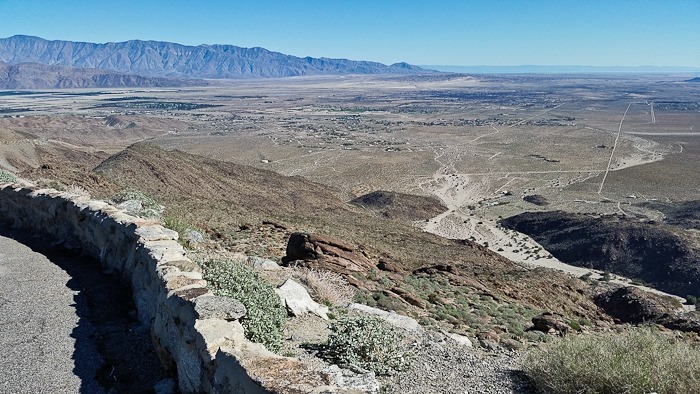
About halfway down, I stopped at the overlook which looks out over Borrego Springs:

Day542_07

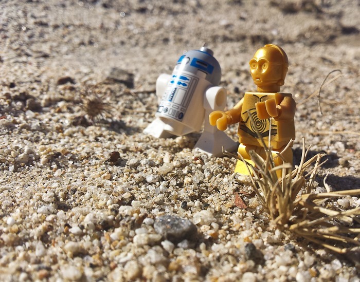
The kids photographed a Lego desert scene:

Day542_08

In the afternoon, we hitched up and drove down to Salton City, which has a fascinating history.  Laid out to accommodate tens of thousands of residents, the town only has a few thousand residents, leaving a vast grid of paved and signed neighborhood roads with no houses on them.

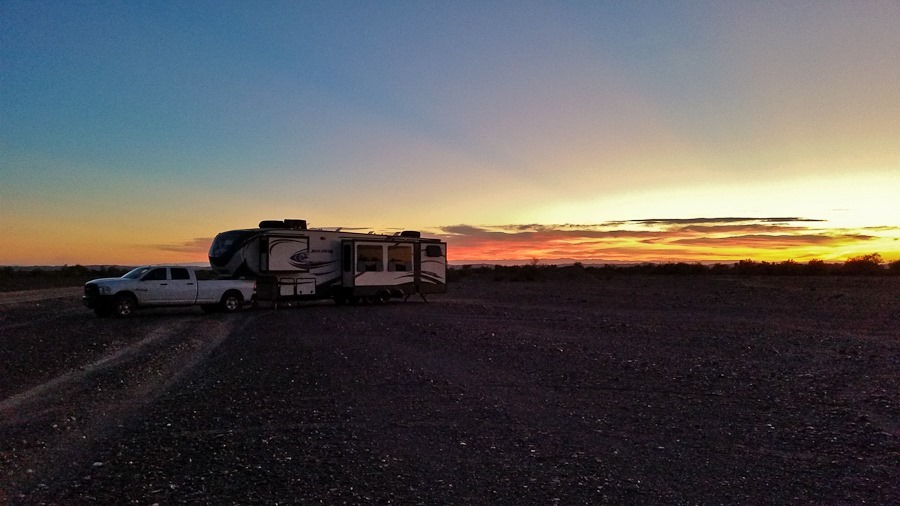
A city campground which has been abandoned now provides free camping.  We set up as the sun began to set:

Day542_09

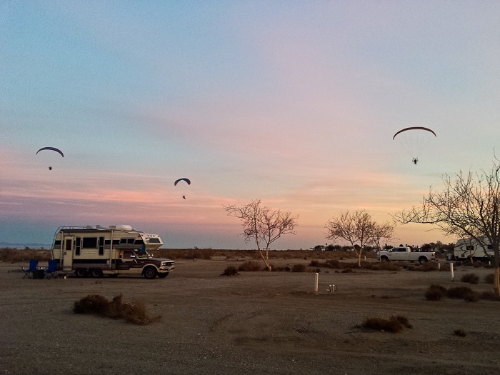
We’ve come here for a PPG fly-in that is scheduled to start on Thursday, so we were quite surprised to see that a number of pilots are already here.  Most are staying at the full-service RV park next door, which has it’s own ultralight runway:

Day542_10

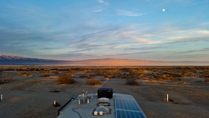
Not a bad place to spend a few days:

Day542_11

See the trip map for today’s drive and our current location.

Day 473: Lava Beds National Monument

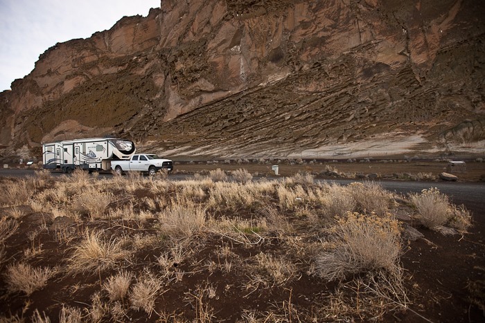
Shabbos in our dispersed camping location near Tulelake, CA was nice and quiet, but also quite cold.  We woke up on Sunday to mid-20s and a bit of snow on the ground.  This would have been a perfect PPG site if it wasn’t so cold and we weren’t on a schedule today.  I was able to pull 1.5 Mbps WiFi from the Lava Beds National Monument visitor center, 10.1 miles away!  Gotta love our homemade WiFi antenna:

Day472_01

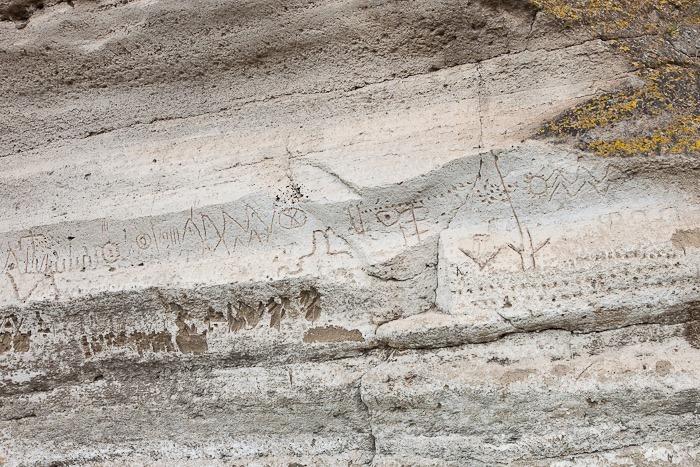
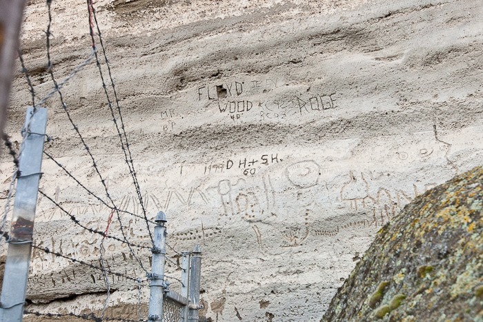
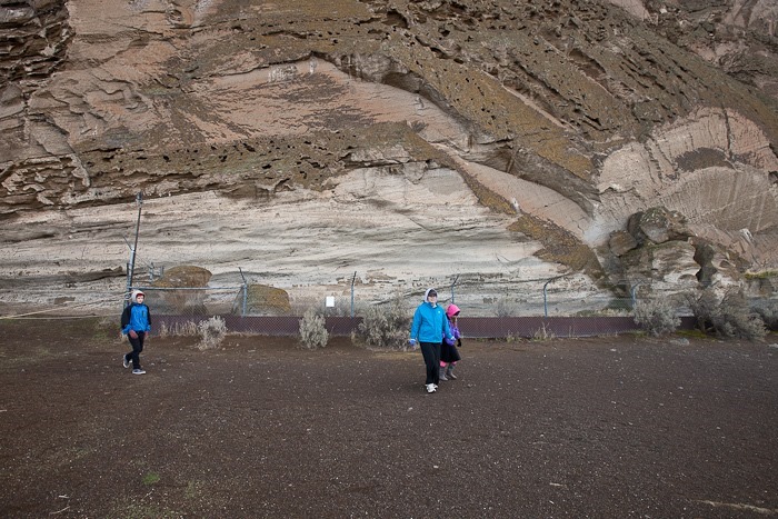
We drove the mile or so from our camping location to the Petroglyph Point unit of Lava Beds National Monument.  Petroglyph Point is the largest rock art site in California.  This small mesa was at times an island in Tule Lake, and Native Americans would paddle out in canoes and carve symbols into the rock.  These carvings are thought to be 4,500 to 2,500 years old.  Unfortunately, it has been savaged by modern graffiti:

Day472_03

Day472_04

Day472_05

Day472_07

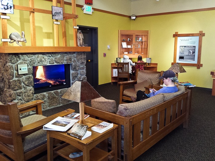
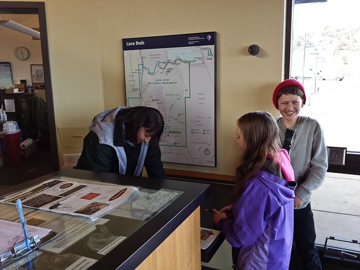
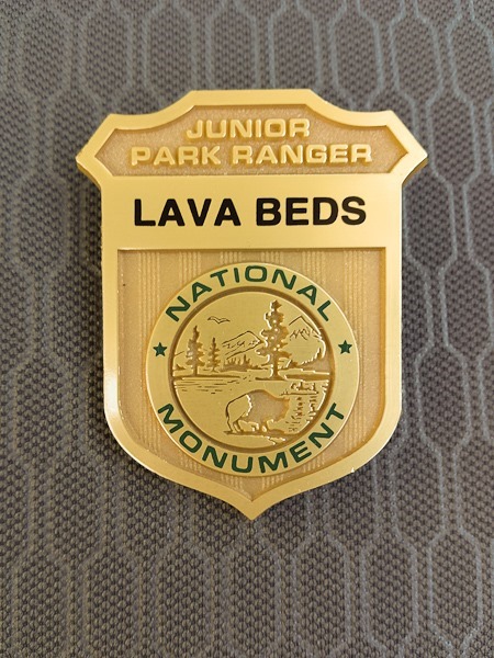
While driving to the visitor center, Trish read an article about the history of the Modoc War, which occurred in the Monument in the late 1800s.  We finally reached the visitor center, where the kids worked on their Junior Ranger badges and received their badges:

Day472_18

Day472_08

20141125_105321-1

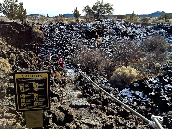
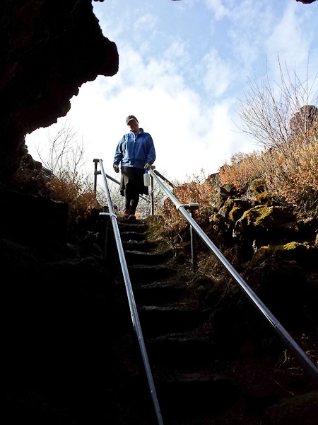
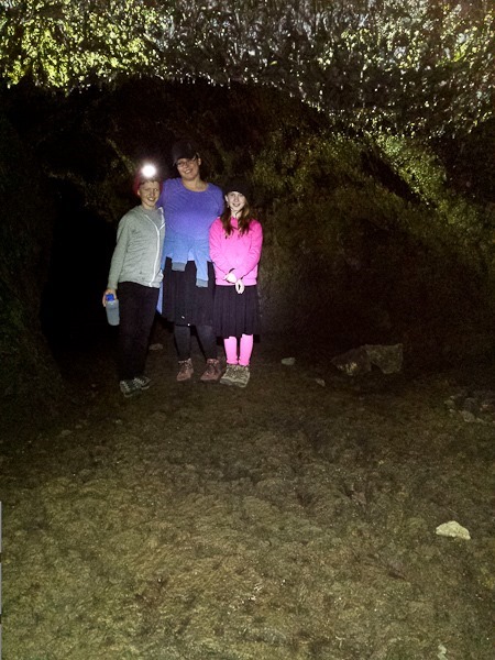
Lava Beds National Monument has the largest concentration of lava tubes in North America, with several hundred caves having been discovered so far.  Trish and I had explored a number of the caves here back in 1999, so we decided to take the kids to the largest and most challenging cave in the park, Catacombs Cave, with over 8000 feet of passageways.  We hiked to the entrance, where lava blocks were lightly dusted with snow:

Day472_09

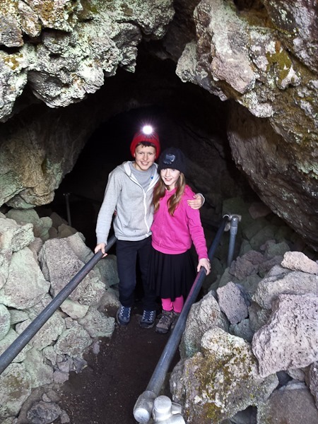
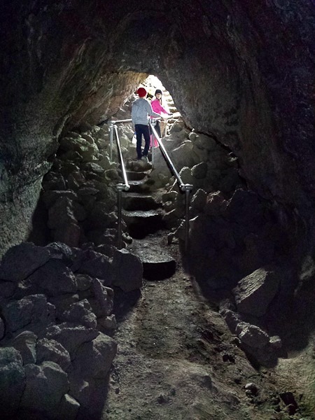
Down we go:

Day472_11

Day472_10

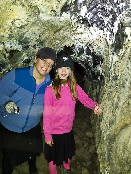
The cave starts out with reasonable clearance:

Day472_12

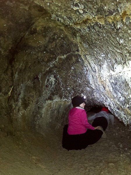
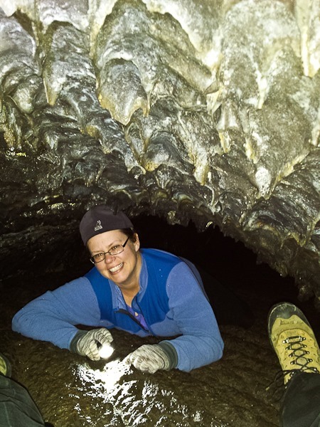
There were a number of spots where the passageway was less than 2 feet high, which required crawling:

Day472_13

Day472_14

Day472_15

The caves here are a network of tubes laid down in successive lava flows, with ceiling collapses that allow entry to tubes under one another.  Here we drop down a ledge, walk across a second tube in the next level down, and back up the other side to a third tube:

Day472_16

After we had had our fill or crawling over rough lava, we made our way out:

Day472_17

We traversed the area in red.  At the end of the cave (on the right side of the diagram), there’s a passageway that leads to the other tube network, but the connecting tube was less than 12 inches floor to ceiling, and we couldn’t tell how long we would have to go on like that, so we turned around.  We probably explored about 4000 feet of passageways, which took us a couple hours.  Numbers on the diagram detail floor-to-ceiling height.  Click on the map to view it full-size:

catacombs_cave_explored-1

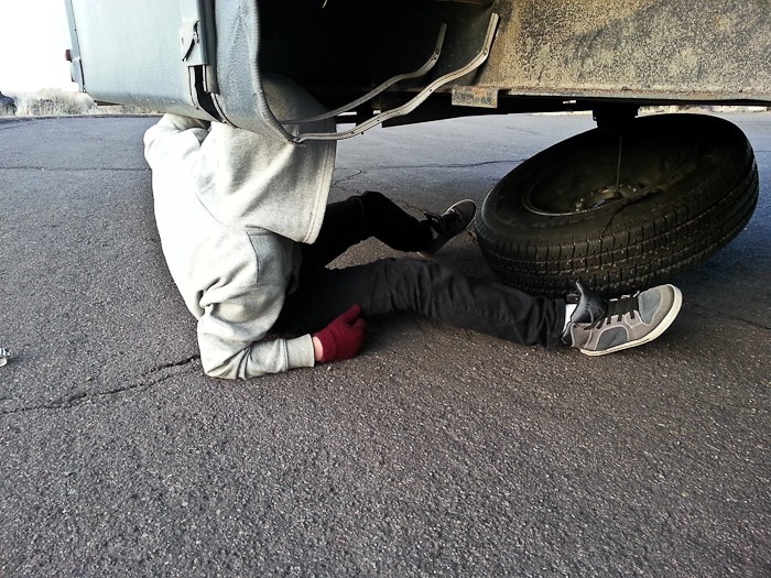
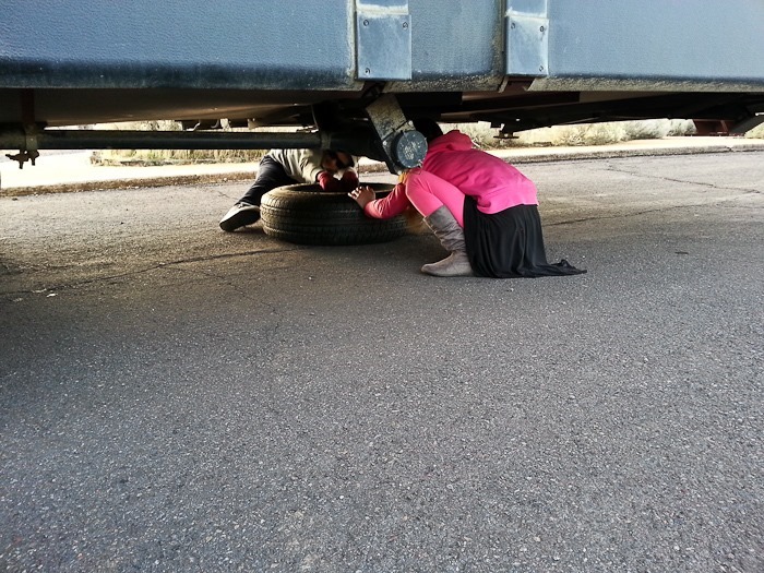
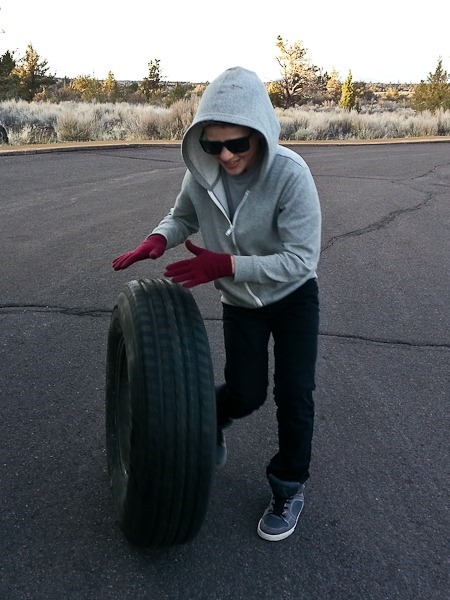
Trish and B had had enough of caving, so we decided to head out.  I noticed that one of the tires needed replacing, so we quickly swapped in the spare in the parking lot.  The kids helped drop down the spare and stow the worn out tire:

Day472_19

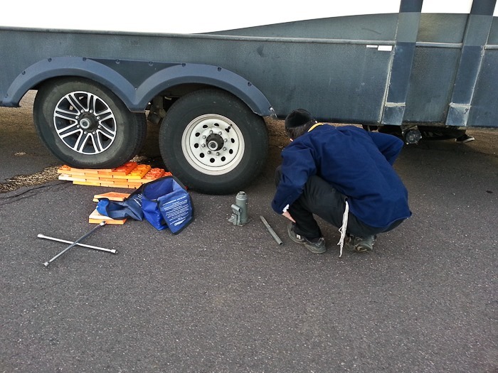
Meanwhile, I jacked up the axle and swapped the wheels.  With a dual-axle RV, it makes life easier to drive up onto something so the wheel to be replaced doesn’t need to be raised up much to be removed:

Day472_20

The kids make an excellent pit crew:

Day472_21

Day472_22

After completing the swap and taking on water, we drove south to overnight at the Walmart of Susanville, CA.  See the trip map for driving details and our current location.