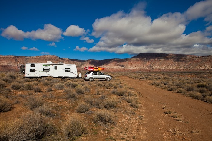
Shabbos at our dispersed camping site North of Virgin, Utah was at times rainy and very windy. Sunday morning brought nicer weather:
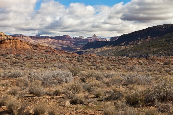
The views from this spot are amazing:
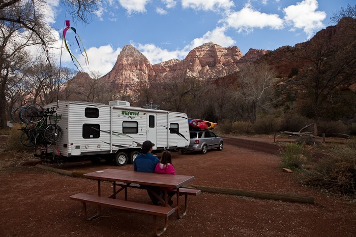
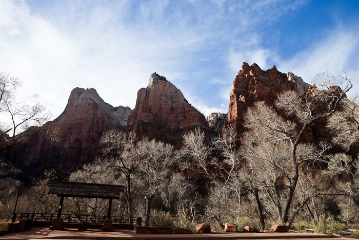
We drove 20 minutes East into Zion National Park and secured a campsite in Watchman campground. $18 a night buys a site with electricity and even WiFi!
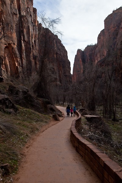
After piking up Junior Ranger workbooks and touring the visitor center, we drove out to the end of the park road and hiked the 2 mile round trip paved trail to the beginning of the Narrows:
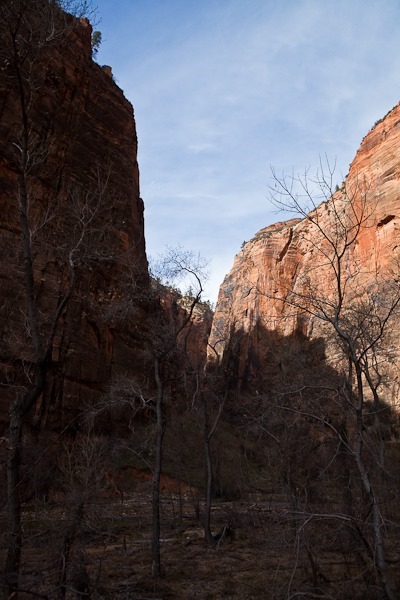
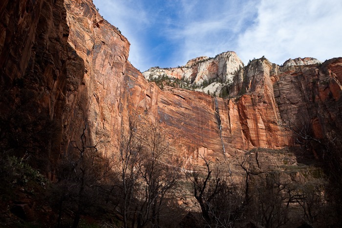
Saturday’s rain created temporary waterfalls from the canyon walls towering above:
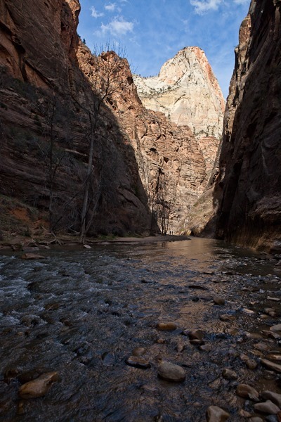
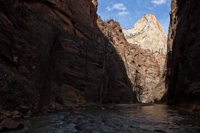
Before long we reached the beginning of the Narrows. Continuing would require hiking in the river:
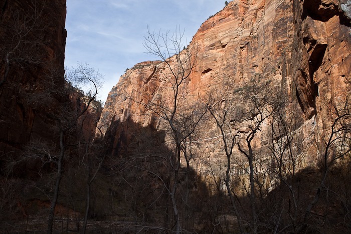
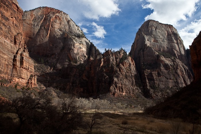
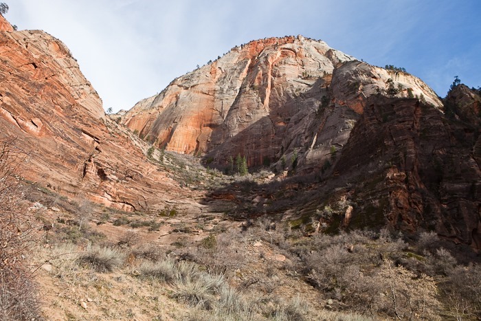
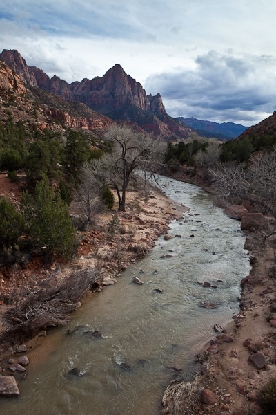
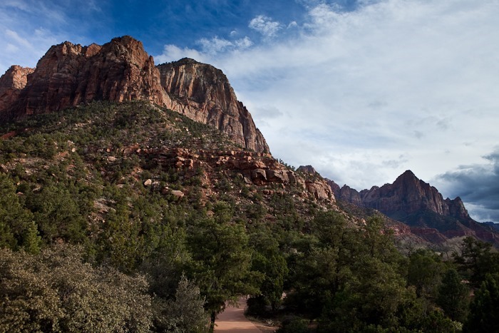
Many of the views in Zion remind me of Yosemite:
The GPS track isn’t very accurate because we were in the canyon. Our walk there and back was in fact on the same trail.
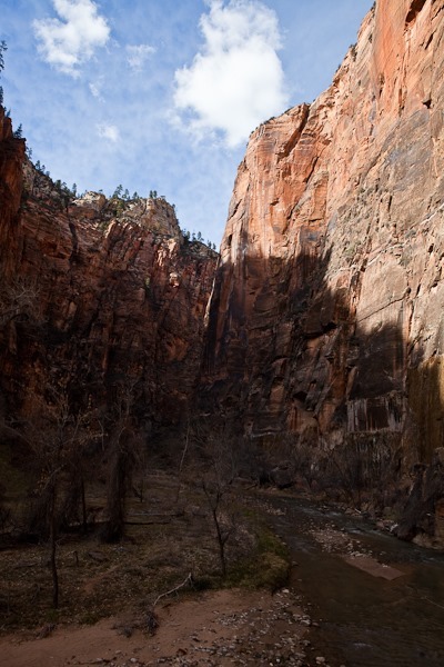
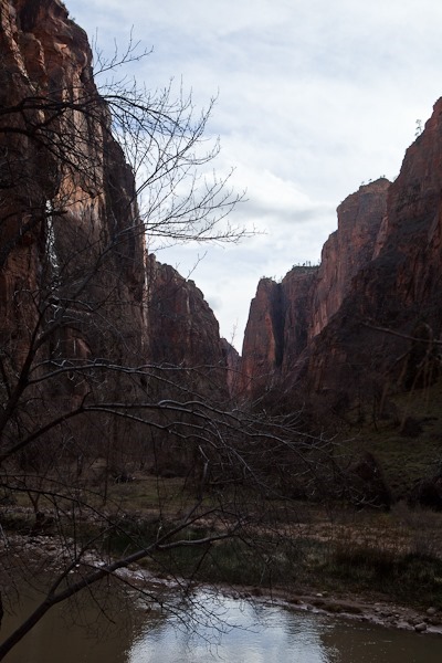
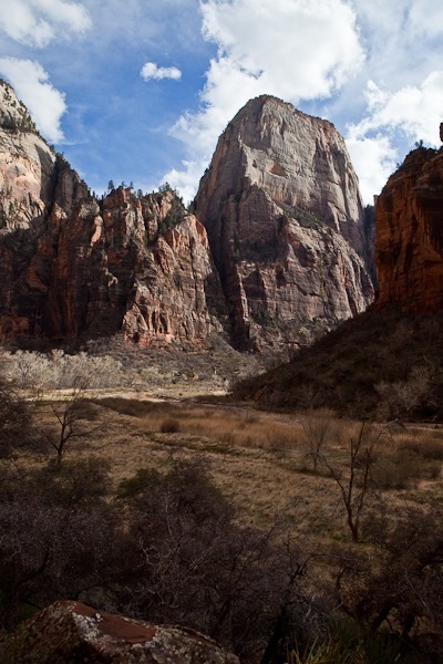
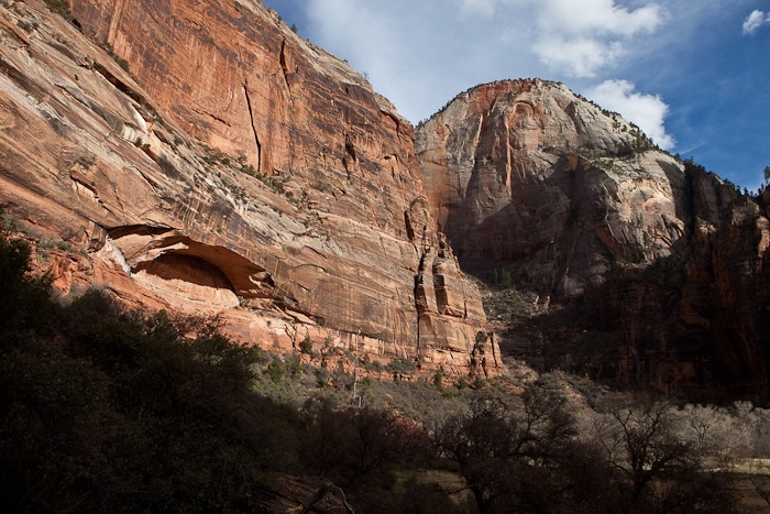
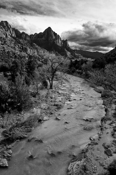
We stopped a couple times to photograph the amazing terrain:
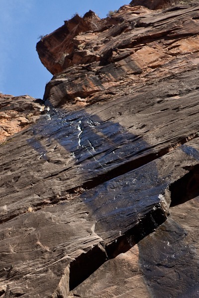
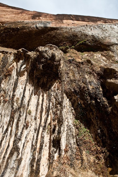
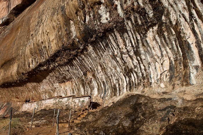
Next we drove South and hiked the short but steep Weeping Rock trail. Rainwater seeps through the sandstone and is then forced out of the rock face when the water hits an impenetrable shale layer:
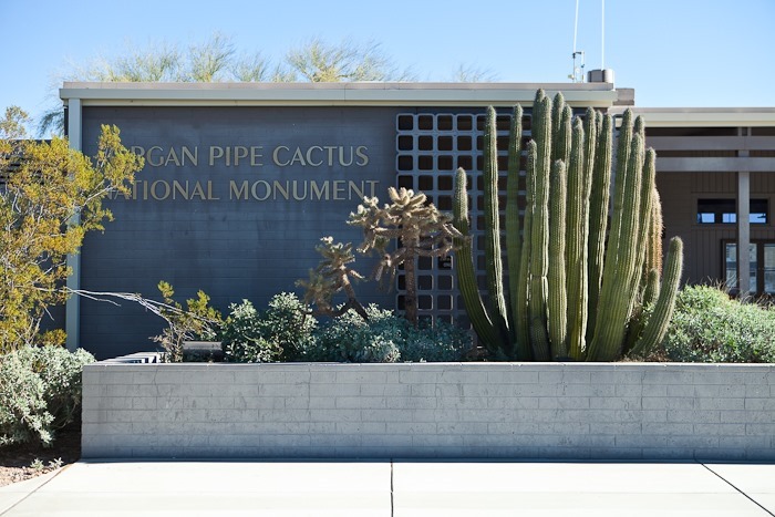
This morning we left the RV in Gunsite Wash and drove 20 miles south to Organ Pipe Cactus National Monument, one of 47 biosphere reserves in the US and the only place in the US where the Organ Pipe Cactus grows. A sample was planted in front of the visitor center:
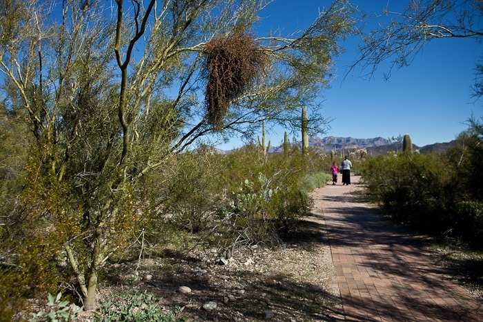
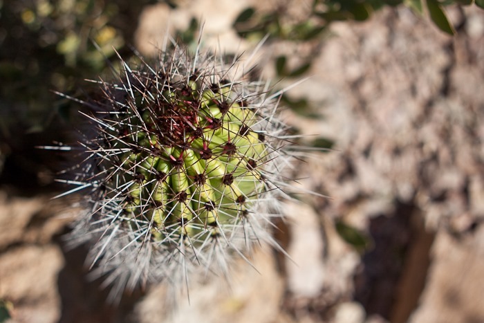
On the nature trail, we passed a Mistletoe plant growing on a Palo Verde:
This fellow was warming up for the day as we walked by:
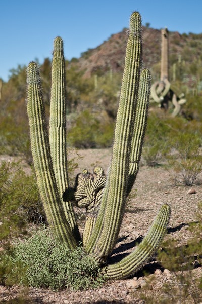
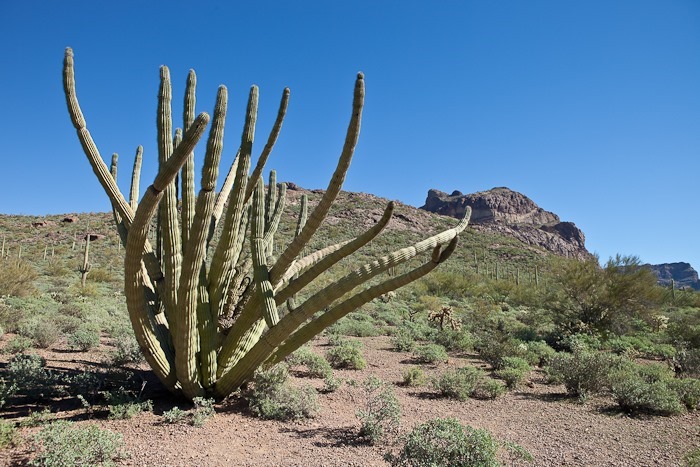
We decided to drive the 20 mile loop road through the park. The guided drive book pointed out points of interest, including this rare cristate deformity on this Organ Pipe Cactus:
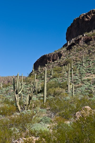
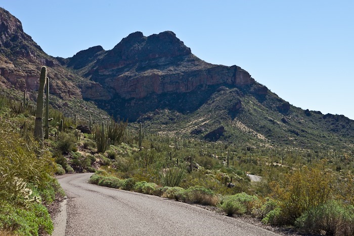
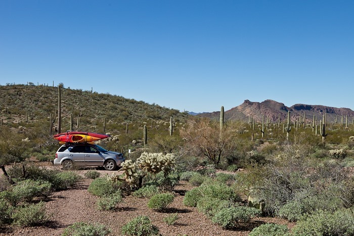
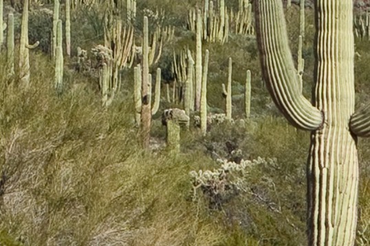
Saguaro and Organ Pipe cacti share the slopes here:
This massive Organ Pipe Cactus, thought to be one of the largest in the park, has extensive cristate growth:
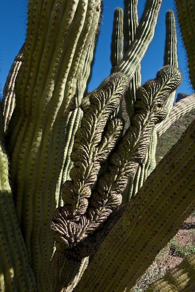
Close-up of the cristate arm:
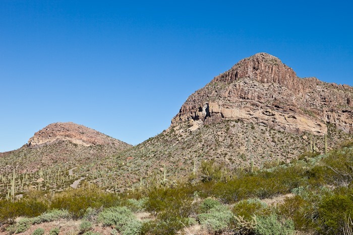
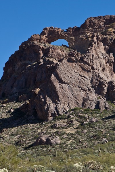
At Echo Canyon, two natural arches look over the valley below:
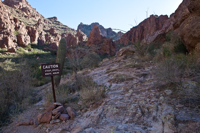
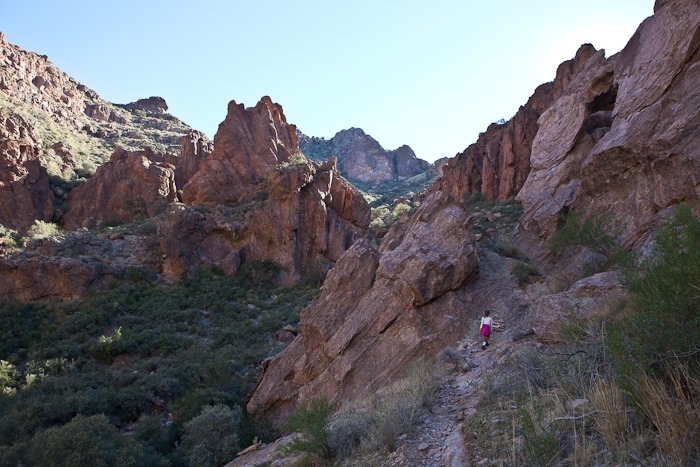
We decided to take the two-mile hike into and out of the canyon. It was listed as “Easy to Moderate”, but it quickly got steep:
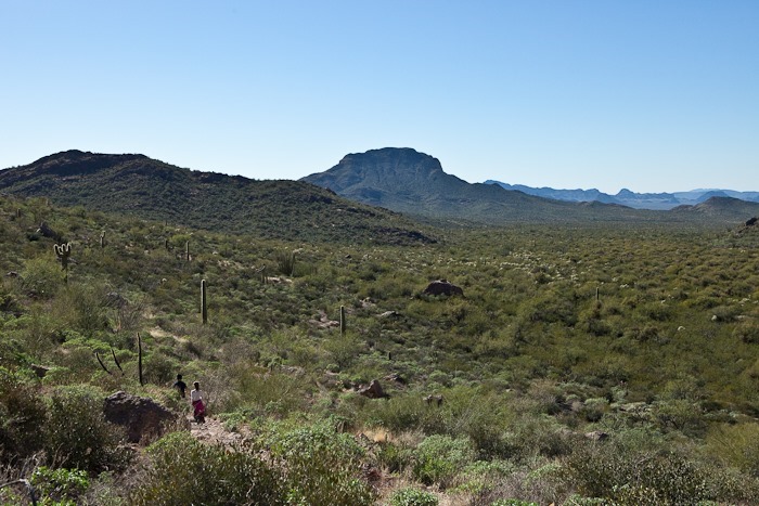
It eventually became so steep that good sense dictated we turn back. The valley was wide open as we exited the canyon:
Continuing our drive, the guide book pointed out a cristate Saguaro in the distance, seen here in the center of the frame:
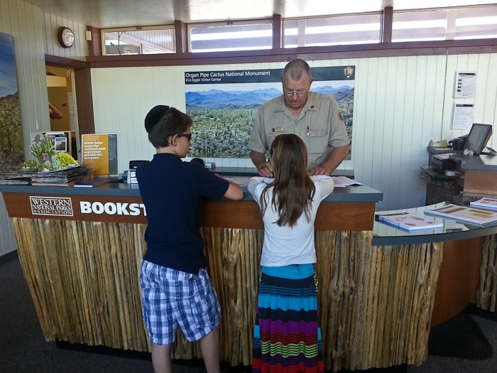
Returning to the visitor center, the kids received their Junior Ranger badges:
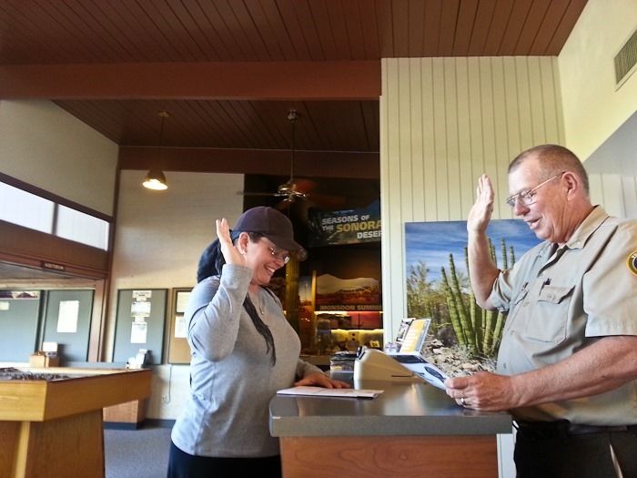
Trish received her Desert Ranger patch, a certification program for adults. This park is the only one to issue this patch:
We returned to the RV and hitched up. We intended to stop to shower and dump at a gas station in Gila Bend, AZ, but by the time we got there it was dark, so we decided to stay here for the night and continue on to Yuma tomorrow. See the trip map for details.
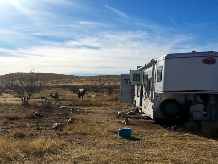
We were out for a walk on Shabbos when we noticed that in addition to every RV parked near us having horses and dogs, there was also a large enclosure for quail. We also noticed that all the dogs looked very similar. We assumed that the quail were for hunting. On our way back to the RV, we ran into Margaret, who told us that we had inadvertently stumbled into an American Kennel Club competition, called a Field Trial, for Brittany dogs.
Field Trails are a kind of simulated hunting exercise. For a detailed explanation, see here. Like our experience being accidentally imbedded in a motocross hillclimbing competition, we had no idea that this sport even existed. Like other RVs here, Margaret and her husband Tom had a gooseneck trailer which had a living area in front, a kennel and tack area in the center, and a horse area in the rear.
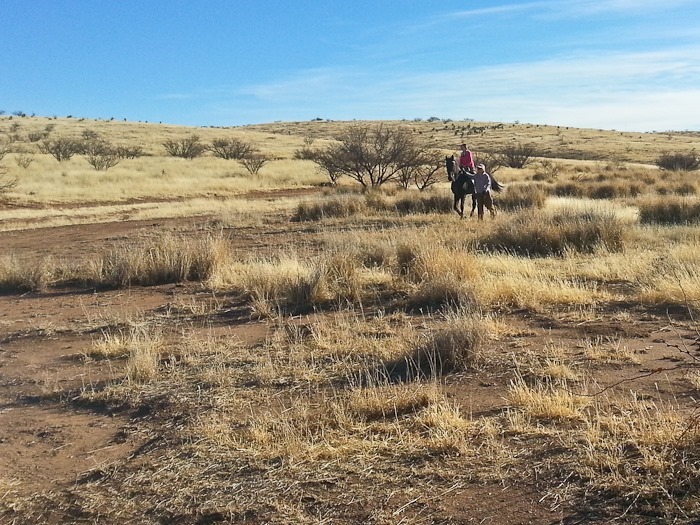
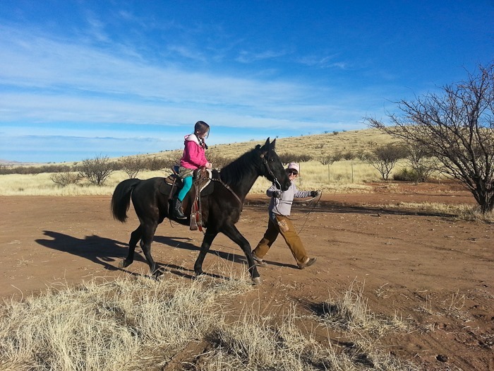
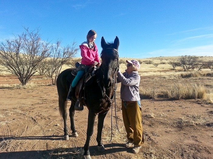
This morning, Margaret took our daughter for a ride on one of the three horses they brought to this competition:
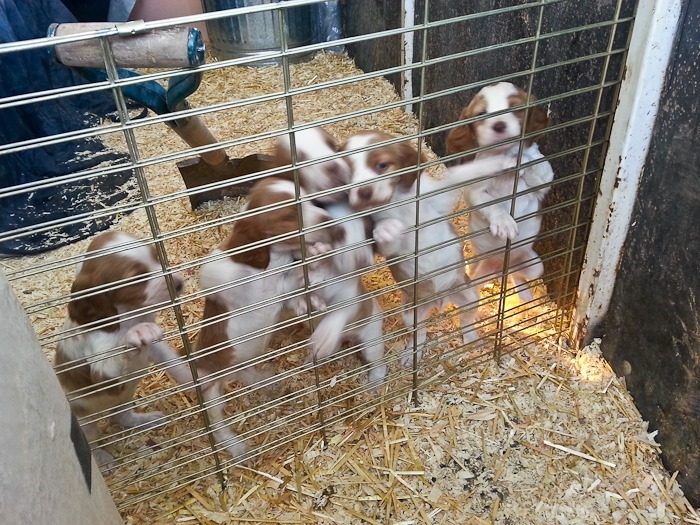
Trish and the kids visited another trailer with Brittany puppies. Looks like they’re ready to find some birds!
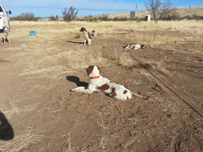
Margaret’s dogs rest before competition:
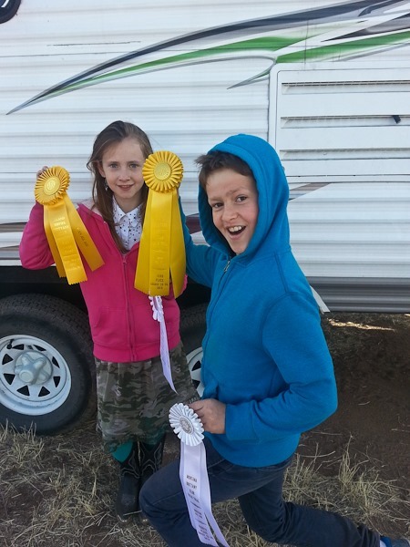
Margaret also gave the kids a couple ribbons her dogs had won at prior events. They travel from competition to competition for half the year, and it sounds like they have no shortage of ribbons. Thanks Margaret and Tom!
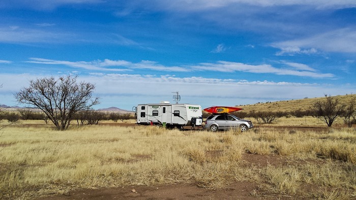
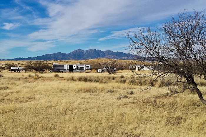
The grasslands go on forever:
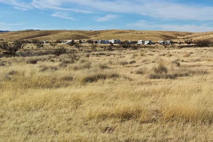
There were two bunches of RVs here for the competition:
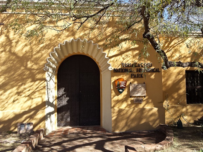
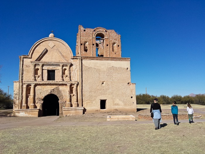
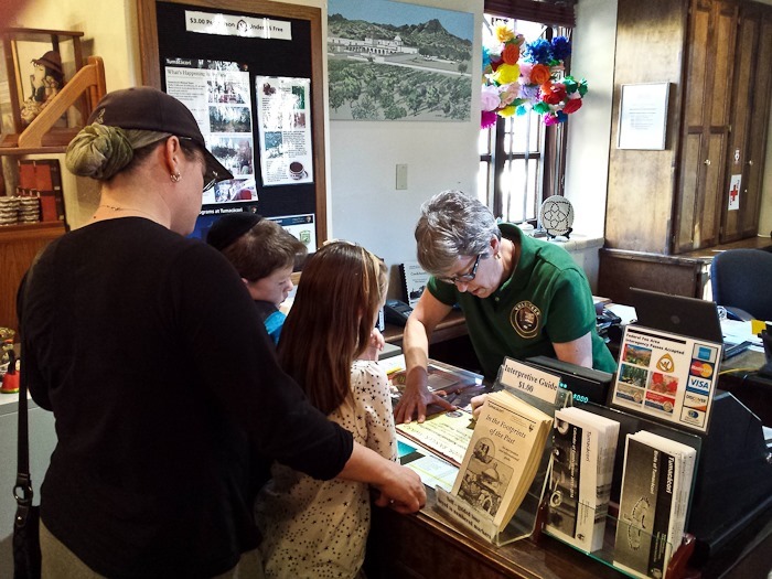
Tumacácori mission was one of the missions established by the Jesuits to impose Christian culture on the native population. The historical sequence reminded me of attempts by the Greeks to Hellenize the Jews. This church was built in the early 1800s:
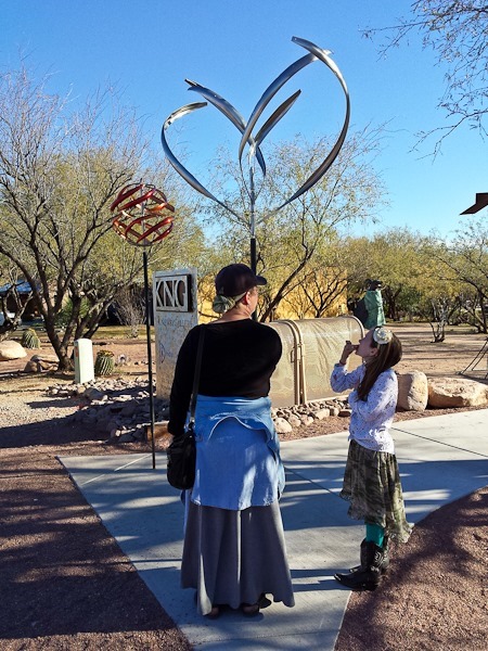
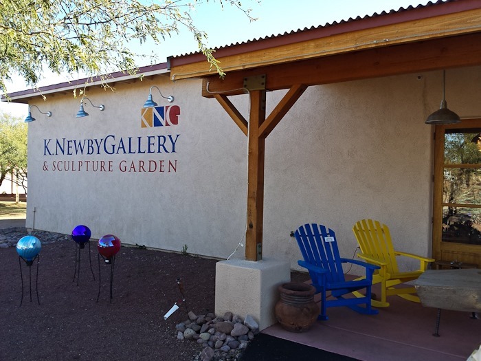
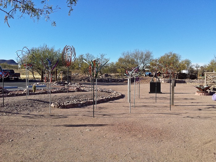
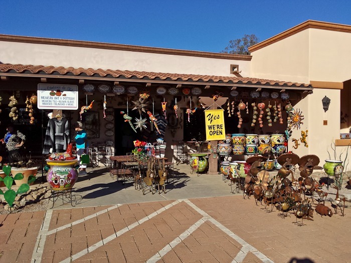
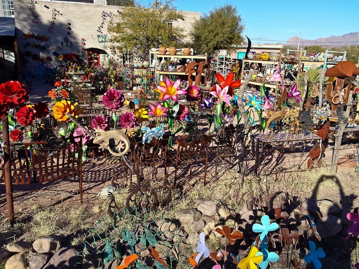
We headed north to Tubac, AZ. Tubac is a four-by-four-block artists community. There were a number of kinetic wind sculptures on display:
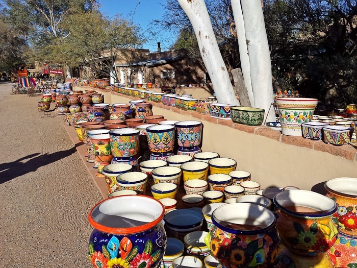
There are dozens of stores selling a wide variety of things you don’t need:
This was the entryway to some kind of “healing center”:
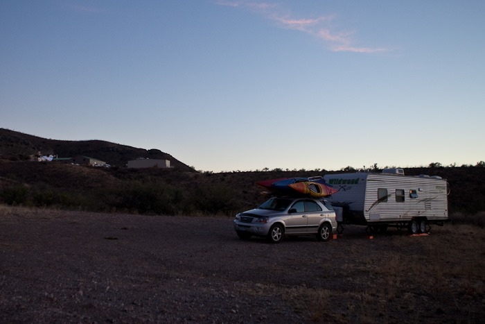
Leaving Tubac, we still wanted to visit the Whipple Observatory. Looking at the various apps on my phone, I could see that the observatory was within the Coronado National Forest, so we could do dispersed camping there. The satellite photo showed a number of pullouts beyond the visitor center, so we decided to go for it. We drove in about 10 miles on the access road and found a great pullout just below the visitor center:
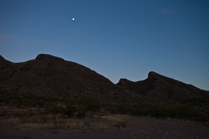
The moon was already rising:
Another great Arizona sunset:
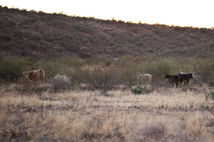
As we set up, the bull on the left kept glaring out us. We were worried he would charge:
Just beautiful:
Tomorrow we will explore the visitor center. See the trip map for today’s drive.
I awoke to the sound of thousands of cranes getting ready to fly off this morning before sunrise, and this was with the windows closed! The cranes nest overnight in the shallow water of Whitewater Draw to avoid predators. In the morning, they fly off in search of food and return at sunset. I quickly dressed and stepped out to see clouds of cranes flying off in the distance as the sky gradually lightened. It was a magical moment to be sure. I had to lock the door of the RV when I left because the latch froze in the retracted position. It must have been in the high 20s at dawn.
Heading South and West, we arrived at the mining town of Bisbee, AZ. Our first stop was the Lavender Mine, an open pit mine that produced 600,000 tons of copper from 1950 to 1974. That copper was liberated from the 256,000,000 tons of rock removed. See the buildings on the rim to get a sense of the size of the hole, which is 300 acres in area at ground level and 900 feet deep in the center:
We visited the Bisbee Museum, which was fantastic. We just finished listening to Hattie Big Skyin the car, which was set during World War I. The book talked about the pressure to purchase Liberty Bonds and Stamps to show one’s patriotism:
The bottom floor dealt with the history of Bisbee, including the Bisbee deportations, which was fascinating. Upstairs the museum focused more on mining:
The museum houses amazing samples discovered when Bisbee miners would be mining along in a shaft and break into underground caverns filled with brightly colored mineral formations:
There was a tire on display from the giant dump trucks used in the open pit mines. The tire gives you a feeling for the size of the vehicle:
After the museum, we walked around the town, which still has many of its original buildings:
Bisbee is a town built into a mountain, so there are many stairs. We climbed the 183-stair staircase known as staircase #3 in the Bisbee 1000 stair run (see map):
Several of the houses we saw use car doors as fence gates:
You can do it!
From the top, we could see some of Bisbee’s houses. The blue house left of center is the width of a single-wide garage door:
Some of the streets we paved in bricks and had a European feel:
Bisbee feels like a mountainous version of Berkley, and after seeing some of its inhabitants, I wondered how many of its inhabitants are not under the influence of controlled substances. It seems that there’s a competition amongst home owners to have the most quirky house. Wall art is also very popular:
Parting view of Bisbee:
From Bisbee, we drove Southwest to Coronado National Memorial. As we entered the Memorial, we could see the border wall with Mexico a couple miles to the South. At the visitor center, the kids tried on some armor:
The kids completed their Junior Ranger workbooks and received their badges:
From Coronado, we drove North to camp on Coronado National Forest land just South of Sierra Vista, AZ. We could see another Aerostat blimp keeping an eye on things:
The Huachuca Mountains, pronounced “Wa-Chuka”, rise to the west:
Tomorrow we’ll head North to Fort Huachuca. See the trip map for details.
We left the casino early this morning and drove a couple hours East to Chiricahua National Monument. When we arrived, we found out that we the road to Fort Bowie NHS is passable with an RV. We had attempted to visit both Chiricahua and Fort Bowie during our four-week trip in the summer of 2011, but the area was aflame with what would later become known as the Horseshoe 2 fire.
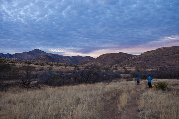
We arrived at the trailhead without incident:
It’s a 1.5 mile walk to the fort and visitor center. I think this is the only NPS site I’ve been to that has a hike-only access to the visitor center:
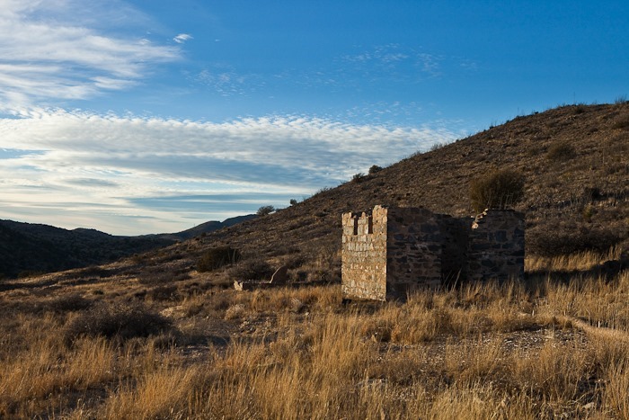
In the distance, we could see the remains of the fort. I tried to imagine the relief felt by survivors of Apache raids when they realized they were going to make it to the safety of the fort:
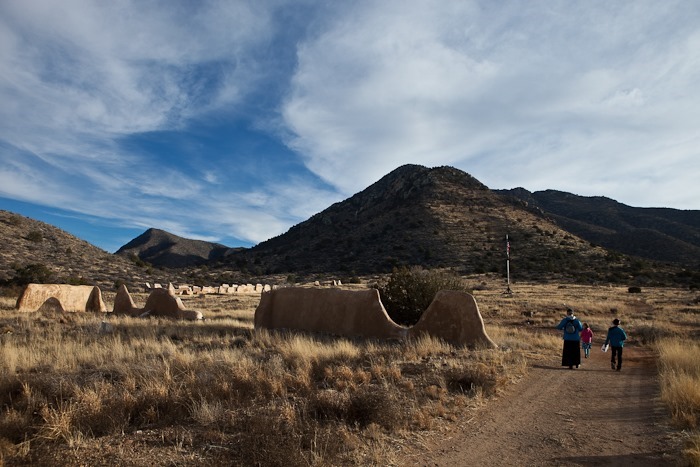
After the kids received their Junior Ranger badges at the visitor center from Ranger Ross, we walked the ruins. Many of the building were made of low-grade adobe, now stabilized by an overcoating of plaster by the Park Service:
It was neat to find artifacts and know that they were from the 1860s, contemporaries of President Lincoln:
We stopped in at the cemetery on the hike back to the RV:
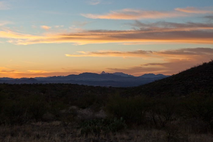
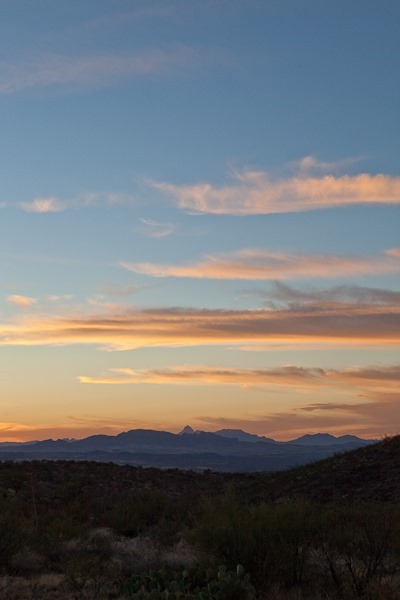
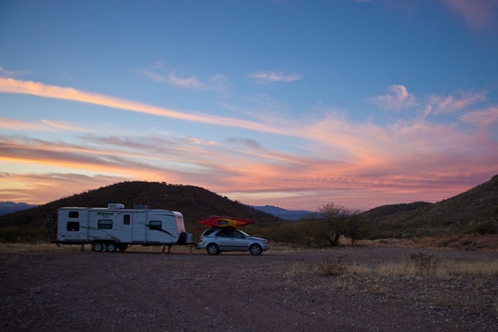
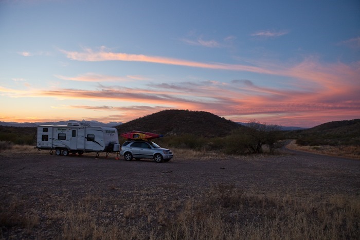
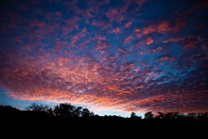
The sunset was amazing:
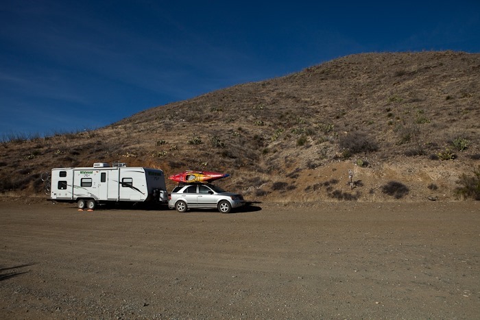
We drove down from Fort Bowie’s trailhead parking about a mile to overnight on BLM land with decent 4G service. See the trip map for details. Tomorrow we will head back to Chiricahua.















 Facebook
 Instagram
 Email
Email