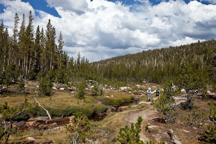
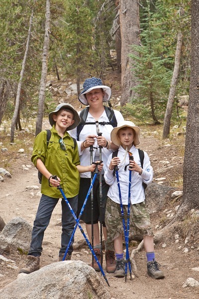
Day 13: Hike to Elizabeth Lake, Tuolumne Meadows, Yosemite NP

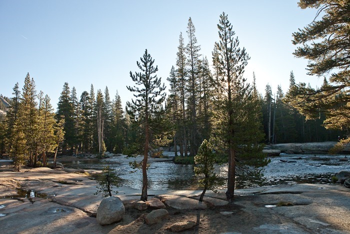
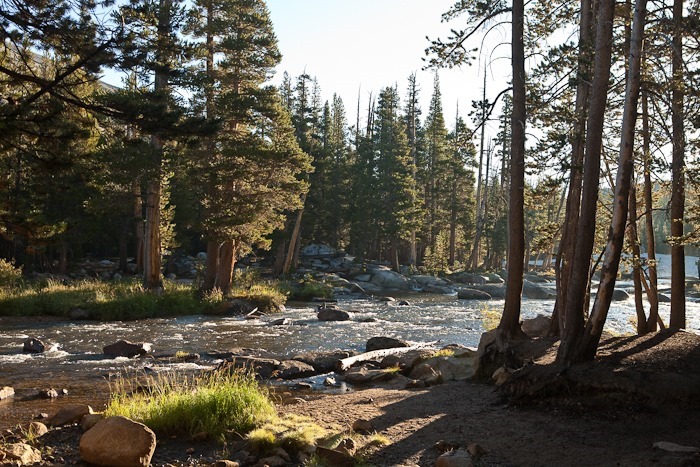
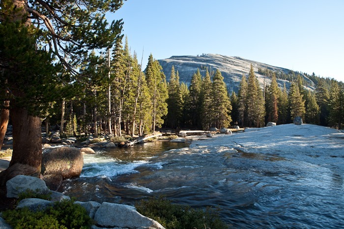
We woke up to a beautiful day at the campground:
Day013_01

Day013_02

Day013_03

Day013_04

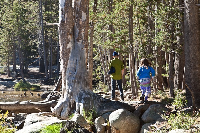
After breakfast, we decided to hike to Elizabeth Lake at the foot of The Unicorn:
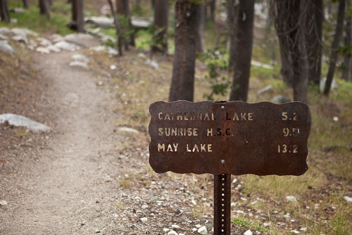
Day013_22

Day013_05

Day013_06

Day013_07

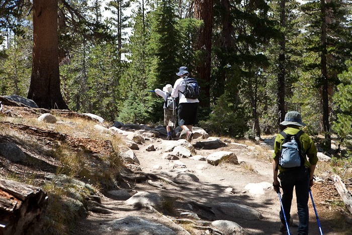
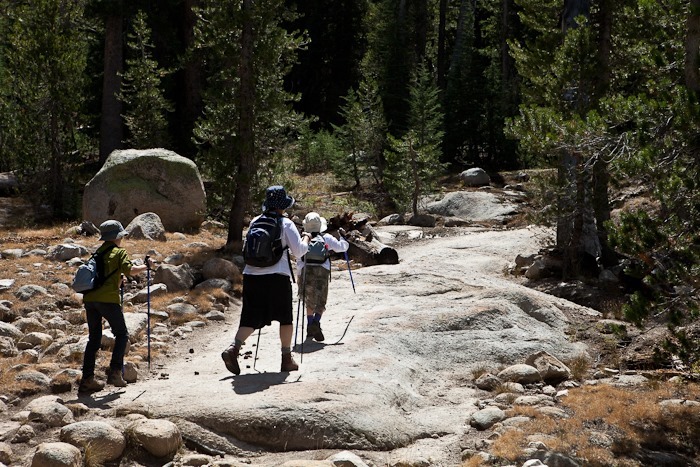
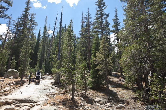
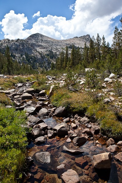
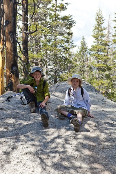
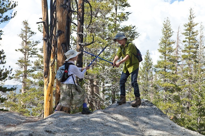
The hike up is pretty steep, so we took lots of breaks:
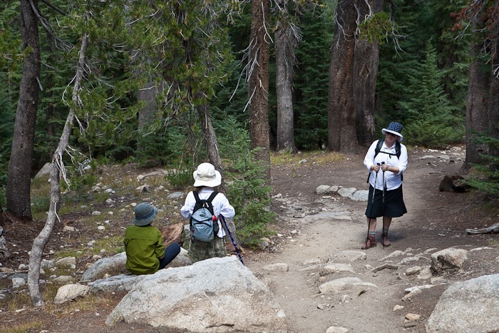
Day013_08

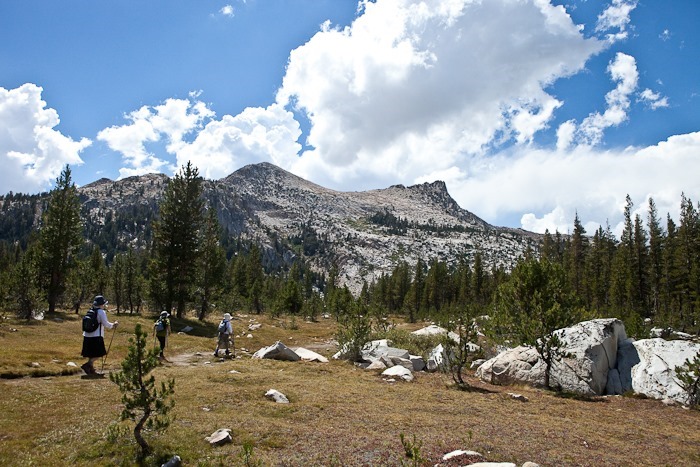
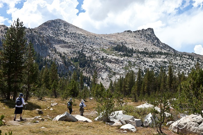
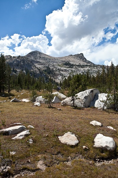
Ahead, The Unicorn loomed:

Day013_09

Day013_10

Day013_11

Day013_12

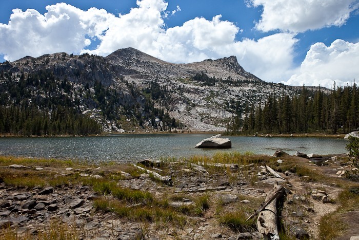
At last we arrived at the lake:

Day013_13

Day013_14

Day013_15

We decided it would be too much to climb The Unicorn, and I had already climbed to the rump (on the left) in ‘99, so we hiked over to the other lobe of the lake and then back down:
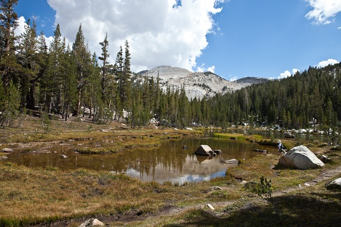
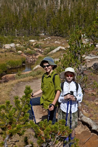
Day013_16

Day013_17

Day013_18

Day013_19

Day013_20

Day013_21

On our way down, I crouched on a rotting log to get a photo of a stump.  A cloud of wasps came out, and I was stung.  We moved down the trail a few hundred yards but a wasp must have already worked its way into our son’s shirt and he was stung as well.  Gotta watch where you stand!

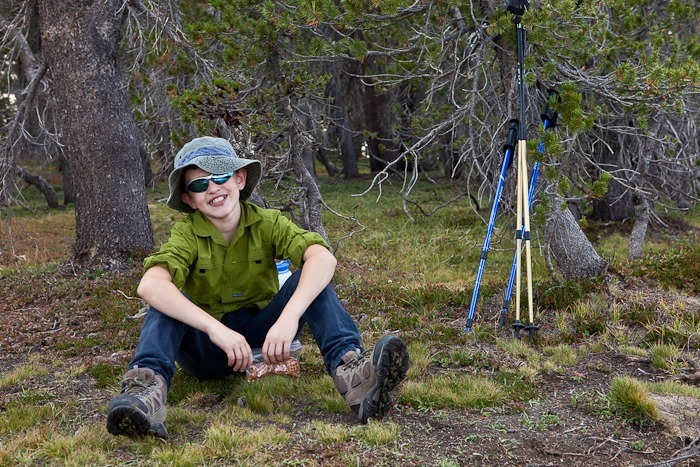
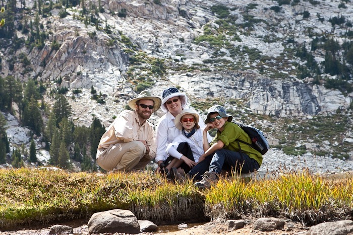
This was a great introduction to the high Sierra for the kids.  Our son said “this is way better than Harrmian (state park, near our home)”

Here are the hike stats:
Day 12: Tonopah, NV to Tuolumne Meadows, Yosemite NP, CA

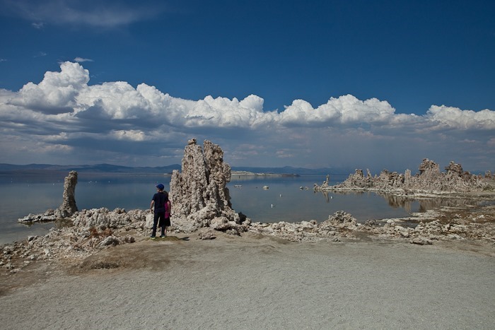
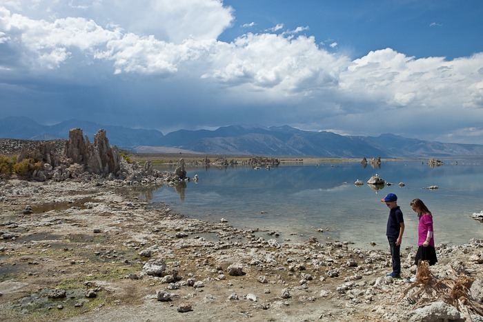
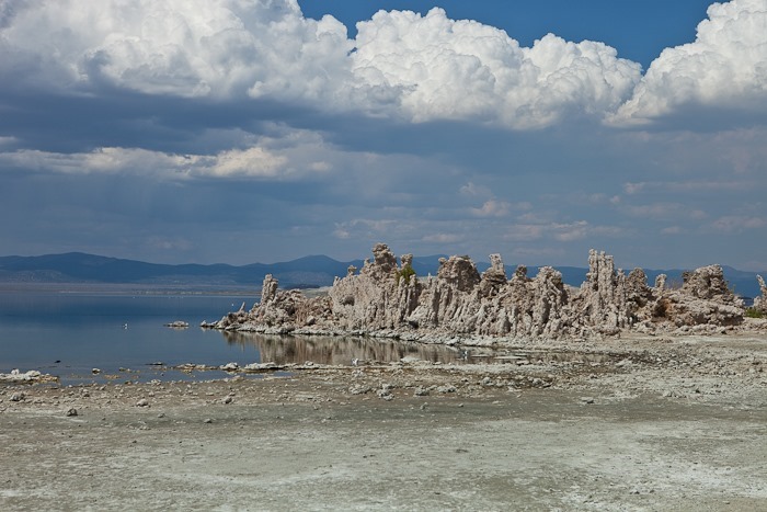
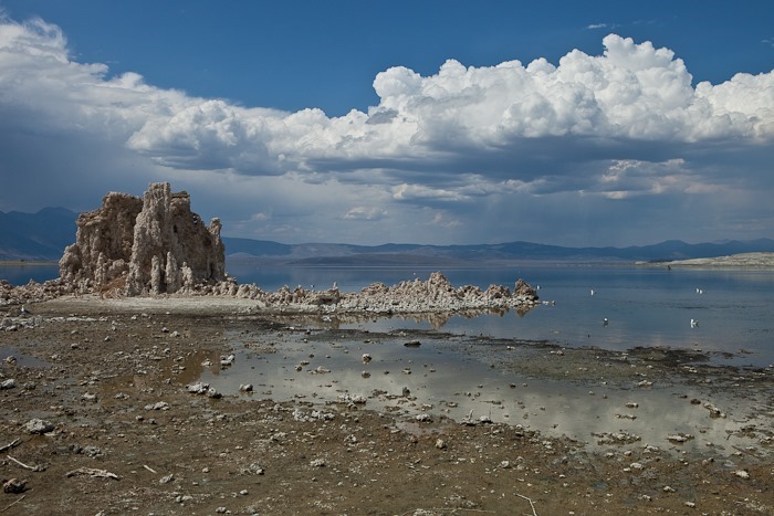
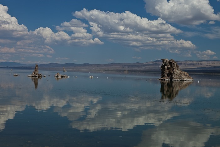
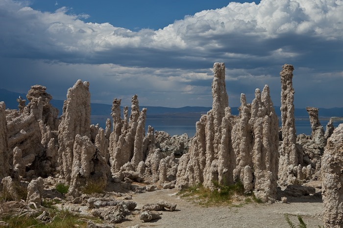
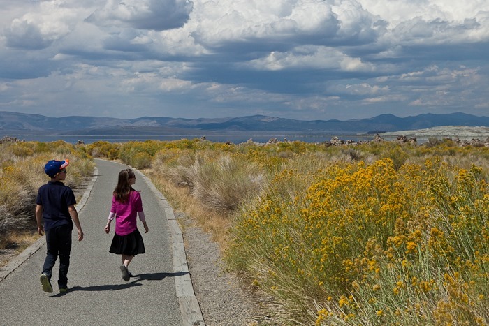
After stops for gas and groceries in Tonopah, as well as a quick tour of the mining museum, we headed West towards Yosemite.  We dropped down to 1st gear for the climb out of Benton Crossing into the Inyo National forest.  On our way to Lee Vining and Yosemite, we stopped on the southern shore or Mono Lake to admire the Tufa formations, formerly underwater structures formed when underwater springs injected calcium rich water into Mono Lake’s carbonate rich water, forming calcium carbonate towers.  As the water level receded, thanks to diversion of inlet streams to San Francisco, the tufa structures became exposed.

Day012_01

Day012_02

Day012_03

Day012_04

Day012_05

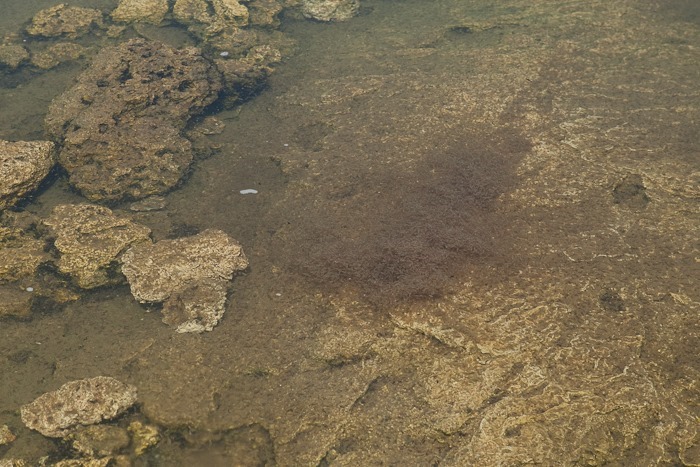
Mono Lake has no outlet, so the water is very mineral rich and twice as salty as ocean water.  The black line below is Alkali flies on the water, one of the few creatures than can survive in these salty waters:

Day012_06

We also saw brine shrimp blooms underwater.  The shrimp and flies support the bird population that call Mono Lake home:

Day012_07

Day012_08

After leaving the tufa site, we visited the Inyo National Forest visitor center where we learned about the lake and the kids received their Junior Ranger patches.  We could see a wildfire burning near Bodie in the distance. Permits are available to kayak out to and camp on some of the islands on Mono Lake, something we would like to try in the future.

Leaving Mono Lake we ascended the 6 miles of 9 percent grade to Toiga Pass, the eastern gateway to Yosemite.  It was 1st gear all the way at 30 miles an hour.  I once pulled over to allows cars by, and was barely able to get my engine RPMs enough to get going again.  Lesson learned!

We pulled in to the campground shortly before dark.  Tomorrow, our adventures in Yosemite begin!

We drove 155 miles today.    See the trip map for today’s drive and our current location.

Day 10 and 11: Las Vegas, NV to Tonopah, NV

Shabbos was wonderful as expected.  It was really nice to spend the day with my parents.

This morning I went for a quick ride.  It’s been 2 weeks since I’ve been on the bike, the longest hiatus from riding in years.  And I felt really lousy when climbing the hills, as if I hadn’t been on the bike for 2 weeks.  I could tell I was out of place, as all the joggers and cyclists I encountered had a skin tone that, were it a crayon, would be called “edge of pie crust”.  Anyway, here’s the ride:


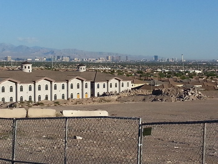
I could see downtown Las Vegas in the distance:

20130818_072003

I rode to the end of Horizon Ridge Boulevard and back:

20130818_070626

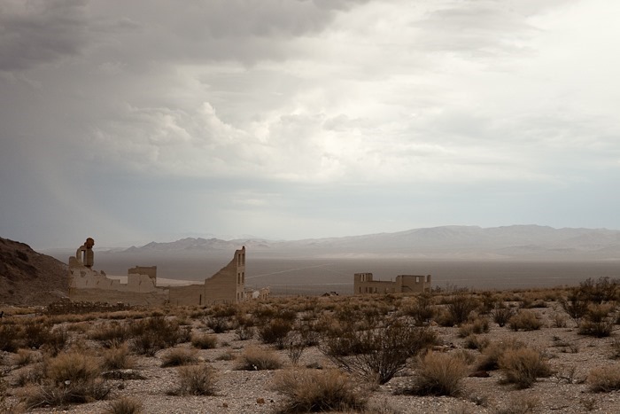
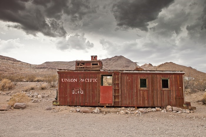
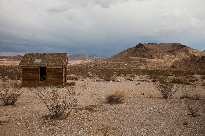
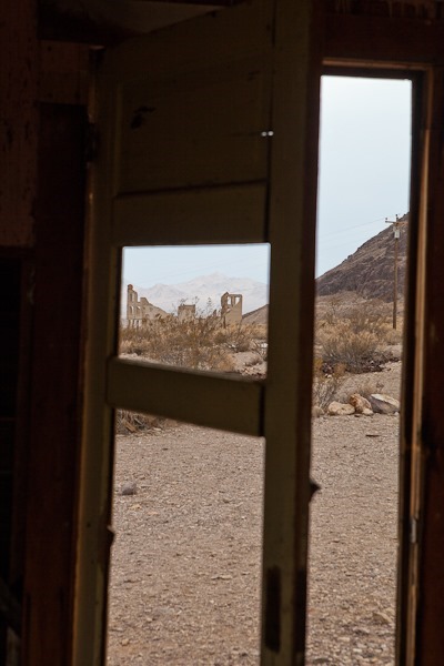
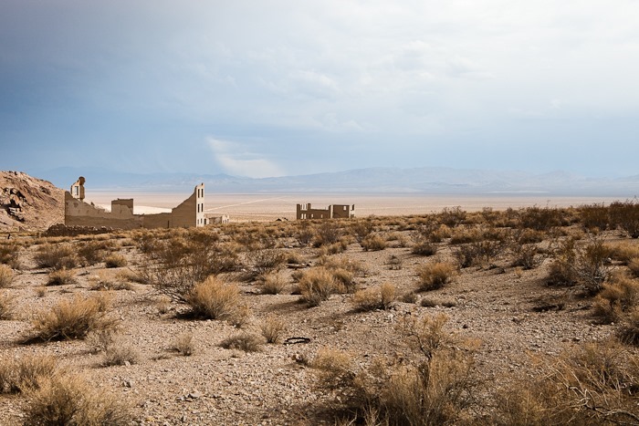
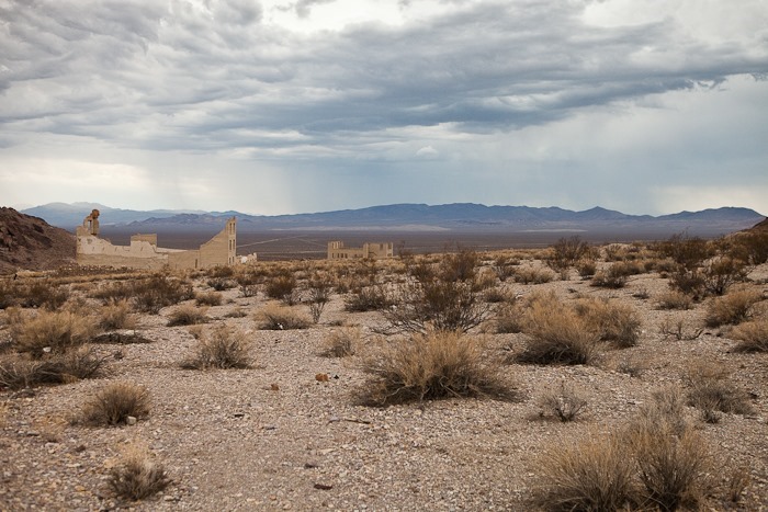
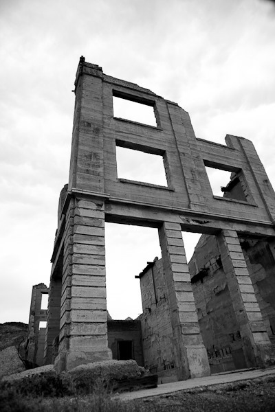
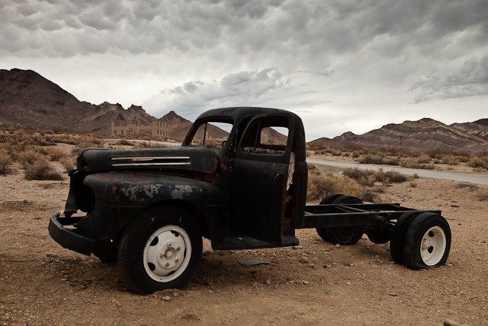
It was 109 degrees on Shabbos, and it was similarly hot today.  After having a third old tire replaced on the RV and stopping at Lowe’s, we headed North towards Yosemite.  We stopped for lunch at the ghost town of Rhyolite, just a few miles East of Death Valley:

IMG_5337

IMG_5345

IMG_5347

IMG_5351

IMG_5352

IMG_5356

IMG_5359

IMG_5361

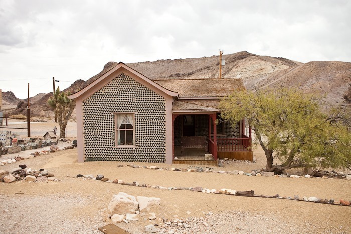
The famous bottle house, built around the turn of the last century out of bottles and mortar, is well preserved:

IMG_5363

IMG_5367

It was really hard to turn our backs on Death Valley, but we will be back in a couple months when it’s cooler.  We continued North to Tonopah, where we’re staying in the Banc Club Casino parking lot.  The drive was windy and wet with a good bit of lightning as well.  Thankfully, it’s much cooler here than in Las Vegas, it’s probably in the mid-60s right now.  Tomorrow we will drive into Yosemite!

We drove about 240 miles today.   See the trip map for today’s drive and our current location.

Tidying up the electronics

I had a spare moment one morning this past week, so I turned a mass of wires and boxes laying on the bottom of the cabinet into a wall-mounted model of efficiency.  Pictured here are the back of the stereo, our WAP, the PoE adapter for the WiFi antenna, and the booster for our cell antenna.

image

Day 9: Cedar City, UT to Las Vegas, NV

Today we arrived at my parent’s house in the early afternoon after a major shopping stop at REI to pick up a tent and packs and sleeping bags for the kids in anticipation of some serious backpacking in our near future.  We will spend Shabbos here and head North on Sunday to our first long-term destination, Tuolumne Meadows in Yosemite National Park.

  See the trip map for today’s drive and our current location.