Day 155: Bisbee and Coronado National Memorial

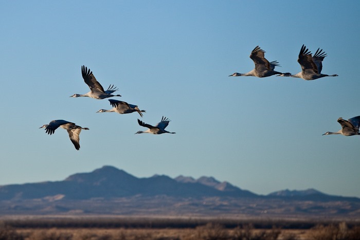
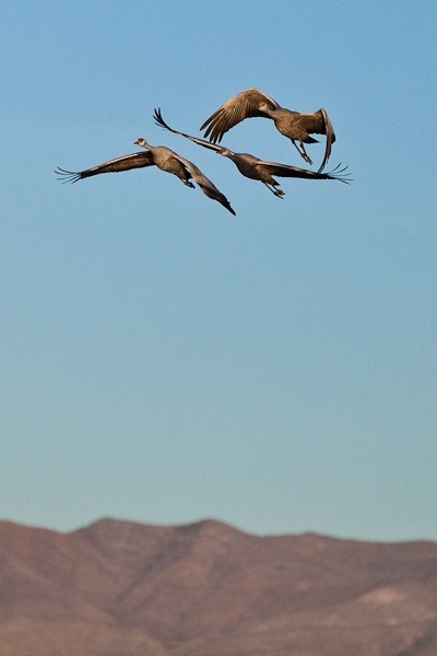
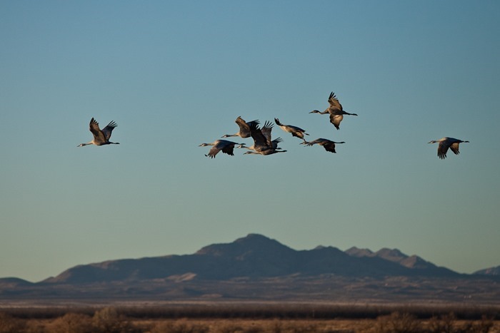
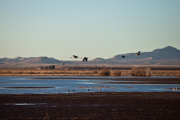
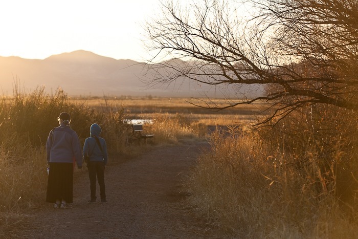
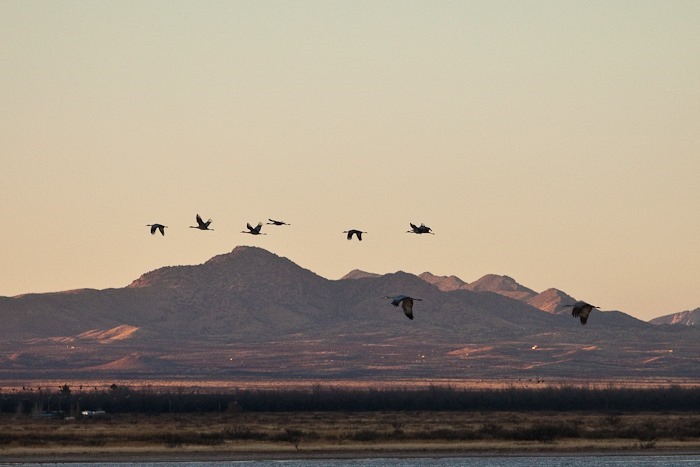
I awoke to the sound of thousands of cranes getting ready to fly off this morning before sunrise, and this was with the windows closed!  The cranes nest overnight in the shallow water of Whitewater Draw to avoid predators.  In the morning, they fly off in search of food and return at sunset.  I quickly dressed and stepped out to see clouds of cranes flying off in the distance as the sky gradually lightened.  It was a magical moment to be sure.  I had to lock the door of the RV when I left because the latch froze in the retracted position.  It must have been in the high 20s at dawn.

Heading South and West, we arrived at the mining town of Bisbee, AZ.  Our first stop was the Lavender Mine, an open pit mine that produced 600,000 tons of copper from 1950 to 1974.  That copper was liberated from the 256,000,000 tons of rock removed.  See the buildings on the rim to get a sense of the size of the hole, which is 300 acres in area at ground level and 900 feet deep in the center:

Day155_02

We visited the Bisbee Museum, which was fantastic.  We just finished listening to Hattie Big Sky in the car, which was set during World War I.  The book talked about the pressure to purchase Liberty Bonds and Stamps to show one’s patriotism:

Day155_03

Day155_04

The bottom floor dealt with the history of Bisbee, including the Bisbee deportations, which was fascinating.  Upstairs the museum focused more on mining:

Day155_05

The museum houses amazing samples discovered when Bisbee miners would be mining along in a shaft and break into underground caverns filled with brightly colored mineral formations:

Day155_06

Day155_07

There was a tire on display from the giant dump trucks used in the open pit mines.  The tire gives you a feeling for the size of the vehicle:

Day155_08

After the museum, we walked around the town, which still has many of its original buildings:

Day155_09

Day155_10

Bisbee is a town built into a mountain, so there are many stairs.  We climbed the 183-stair staircase known as staircase #3 in the Bisbee 1000 stair run (see map):

Day155_11

Several of the houses we saw use car doors as fence gates:

Day155_12

You can do it!

Day155_13

From the top, we could see some of Bisbee’s houses.  The blue house left of center is the width of a single-wide garage door:

Day155_14

Some of the streets we paved in bricks and had a European feel:

Day155_15

Day155_16

Bisbee feels like a mountainous version of Berkley, and after seeing some of its inhabitants, I wondered how many of its inhabitants are not under the influence of controlled substances.  It seems that there’s a competition amongst home owners to have the most quirky house.  Wall art is also very popular:

Day155_17

Day155_18

Day155_01

Parting view of Bisbee:

Day155_19

From Bisbee, we drove Southwest to Coronado National Memorial.  As we entered the Memorial, we could see the border wall with Mexico a couple miles to the South.  At the visitor center, the kids tried on some armor:

Day155_20

Day155_21

Day155_23

The kids completed their Junior Ranger workbooks and received their badges:

Day155_22

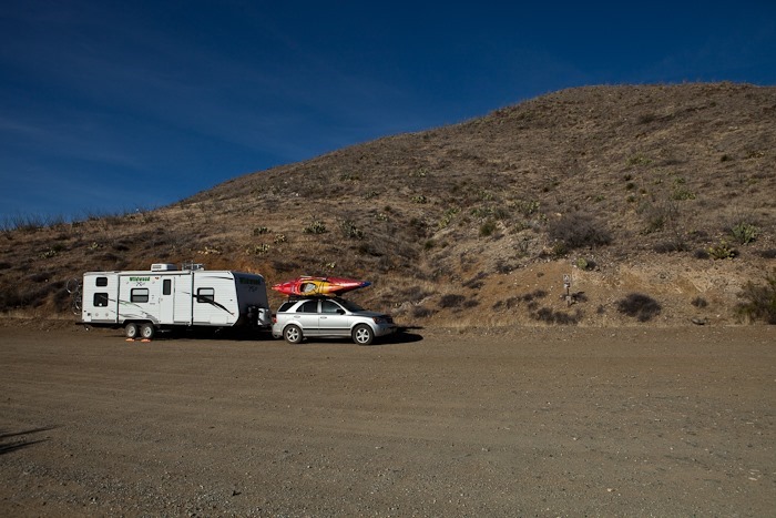
From Coronado, we drove North to camp on Coronado National Forest land just South of Sierra Vista, AZ.  We could see another Aerostat blimp keeping an eye on things:

Day155_24

Day155_25

The Huachuca Mountains, pronounced “Wa-Chuka”, rise to the west:

Day155_26

Tomorrow we’ll head North to Fort Huachuca.  See the trip map for details.

Day 154: Chiricahua NM and Whitewater Draw Wildlife Area

This morning we drove from our BLM site near Fort Bowie to Chiricahua National Monument.  We got up at 6am because we had signed up for the 8:30am shuttle that takes hikers to Masai Point for the 5 mile hike back to the visitor center.  We managed to get there in time, and we were pleasantly surprised to find that the shuttle driver was Ranger Ross, whom we met yesterday at the visitor center at Fort Bowie.  We were the only passengers on the shuttle this morning.

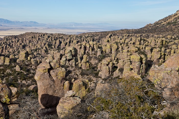
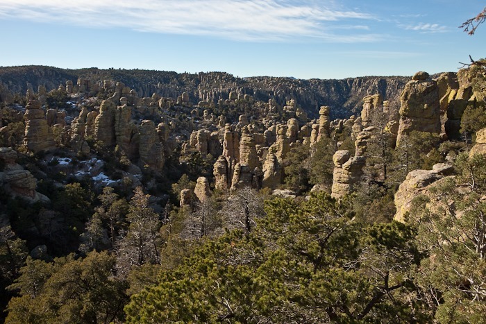
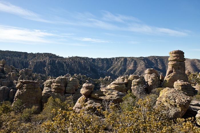
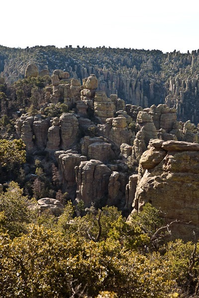
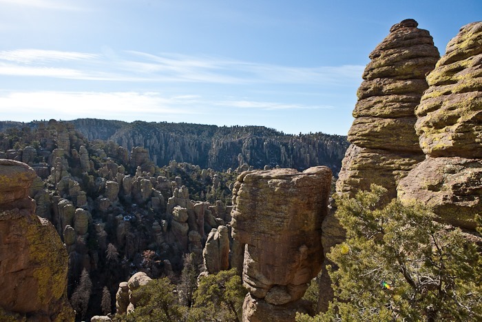
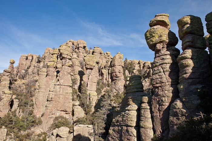
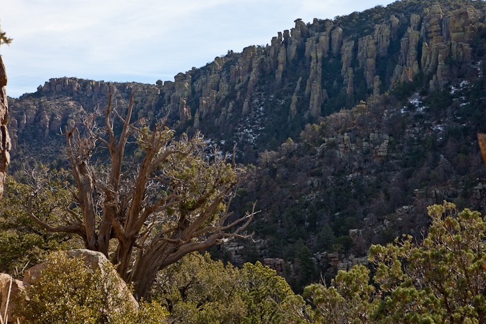
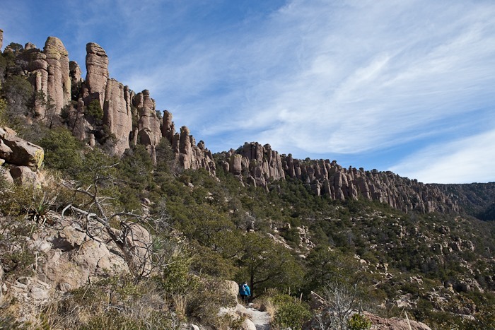
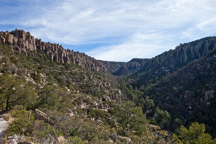
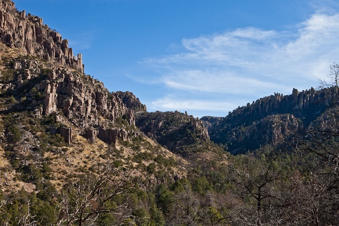
From Masai Point, we could see the vertical towers that made Chiricahua National Monument famous.  The towers are eroded remnants of a 2000 foot-thick layer of ash deposited by the eruption of the Turkey Creek Caldera:

Day154_01


Day154_02

Day154_03

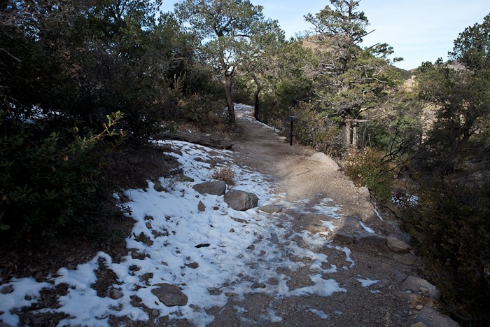
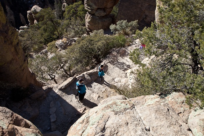
Masai Point is at 6800 feet, and there’s snow on the trail in spots:

Day154_04

Day154_05

Day154_06

Day154_07

Day154_08

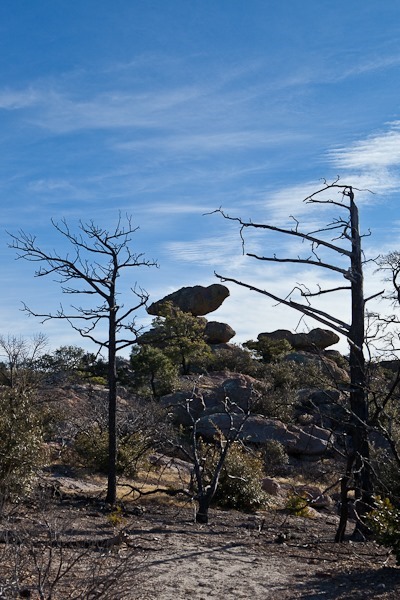
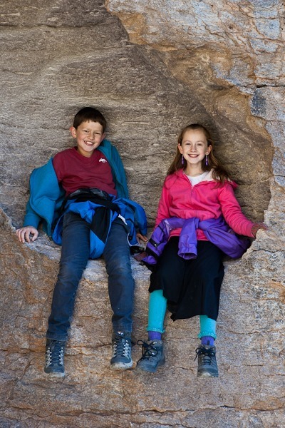
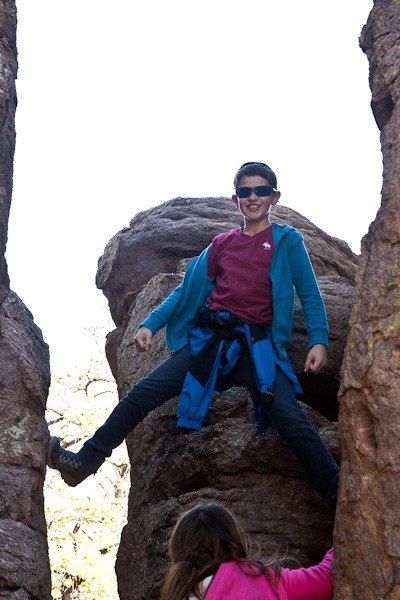
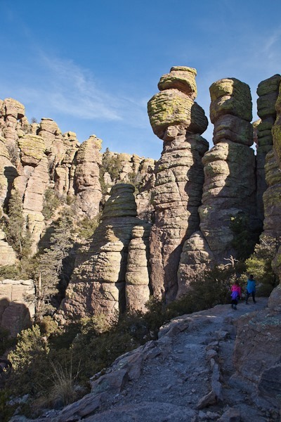
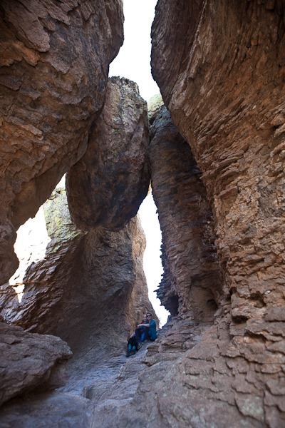
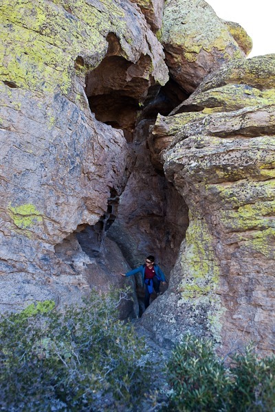
Along the trail there are grottos where hikers can hike between the towers.  This one has a massive tower remnant suspended between the adjacent towers:

Day154_09

Day154_10

Day154_11

Day154_12

Day154_13

Day154_14

Day154_15

Day154_16

Day154_17

Day154_18

Day154_19

Day154_20

Day154_21

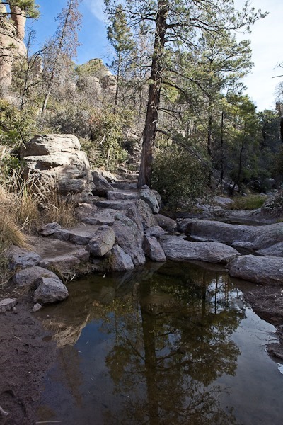
Even in this dry landscape, pockets of water exist:

Day154_22

Day154_23

Day154_24

Day154_25

Day154_26

Day154_27

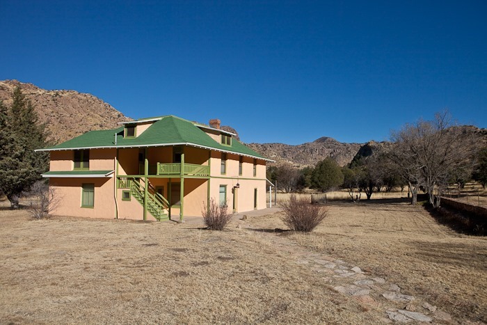
After returning to the visitor center, we drove up to the campground to shower and fill our water tank.  From there we stopped at the Faraway Ranch, a homesteading site in the National Monument.

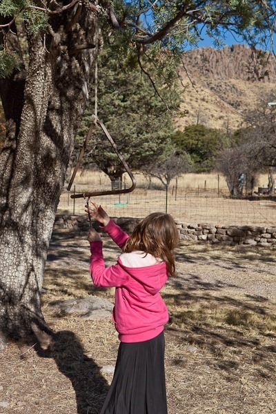
Our daughter tried ringing the chow bell:

Day154_28

Day154_29

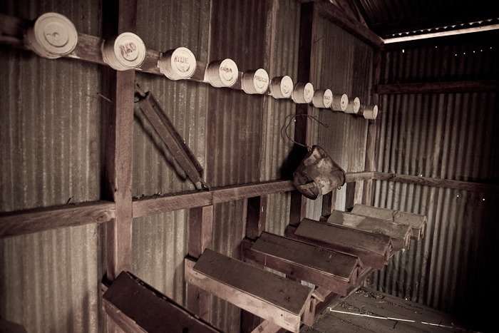
Trish explained that these are saddle racks with the names of the corresponding horse painted on the cans above:

Day154_30

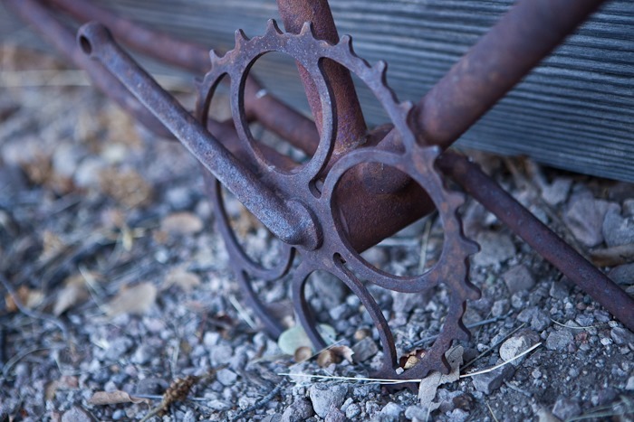
I found an old bike frame:

Day154_31

Day154_32

Day154_33

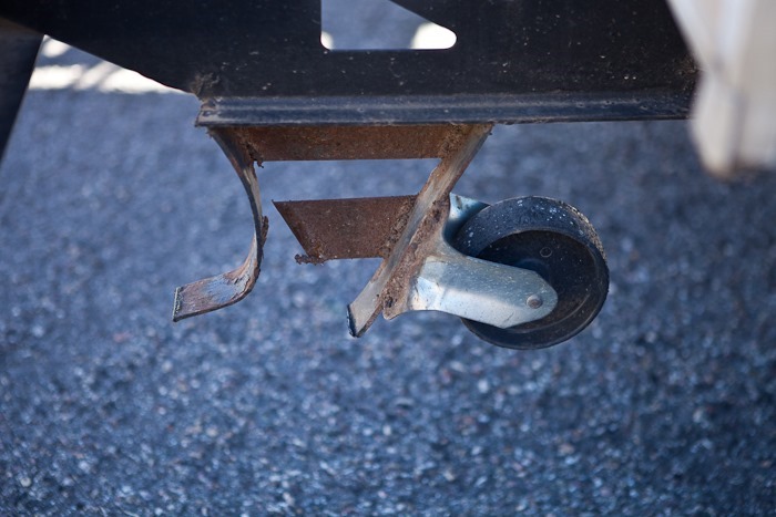
Pulling out of the campground there was a steep dip to cross a wash.  The rear triangles scraped so much that the steel failed and was bent back:

Day154_34

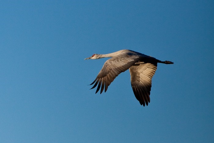
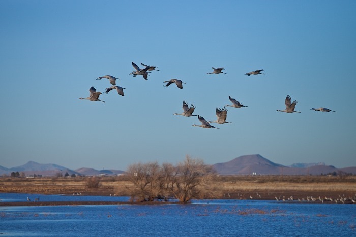
From Chiricahua, we drove to Whitewater Draw Wildlife Area.  For some time before this trip, I had been following a number of full-time RV blogs, and when I found something of interest, I would add that location to a Google Map set.  This location was recommended by the Hochs and Paul and Nina of Wheelingit, so we decided to stop by.  Whitewater is the winter home to tens of thousands of migratory Sandhill Cranes:

Day154_35

Day154_36

Day154_37

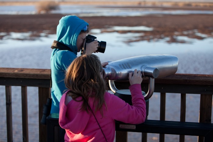
The kids got in on the action:

Day154_38

Day154_39

Day154_40

Day154_41

Day154_42

Day154_43

Day154_44

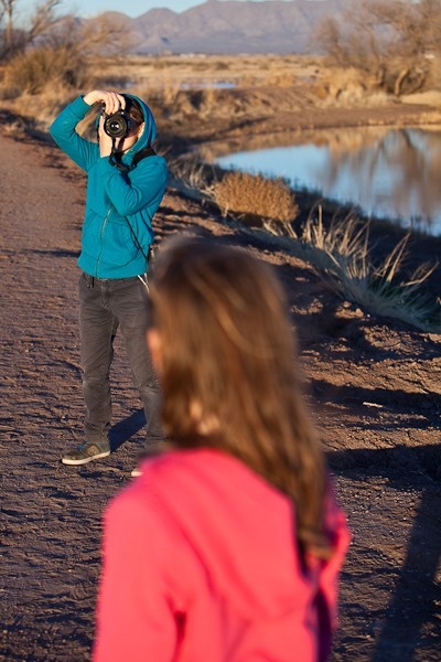
I’m photographing our son photographing our daughter:

Day154_45

We saw an egret as well:

Day154_46

Day154_47

Day154_48

Day154_49

Day154_50

Day154_51

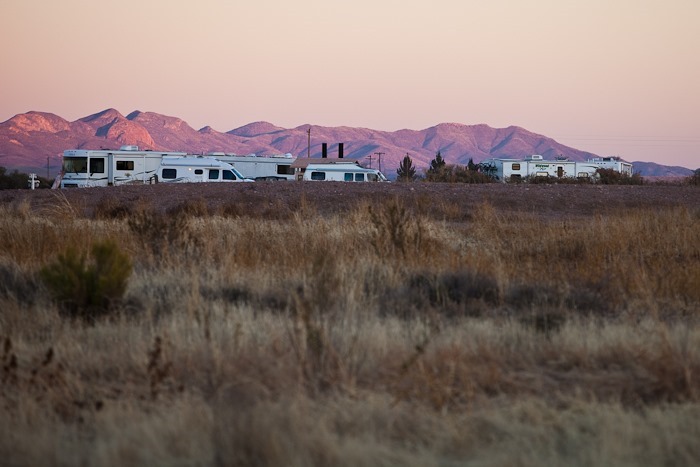
Whitewater allows overnight parking, and we have quite a few neighbors tonight:

Day154_52

Day154_53

As the sun set, I spotted an Aerostat.  Nice to know the government is keeping an eye on the border:

Day154_54

Tomorrow we’ll head towards Bisbee, AZ.  See the trip map for details.
Day 153: Fort Bowie NHS

We left the casino early this morning and drove a couple hours East to Chiricahua National Monument.  When we arrived, we found out that we the road to Fort Bowie NHS is passable with an RV.  We had attempted to visit both Chiricahua and Fort Bowie during our four-week trip in the summer of 2011, but the area was aflame with what would later become known as the Horseshoe 2 fire.

We arrived at the trailhead without incident:

Day153_01

It’s a 1.5 mile walk to the fort and visitor center.  I think this is the only NPS site I’ve been to that has a hike-only access to the visitor center:

Day153_02

Day153_03

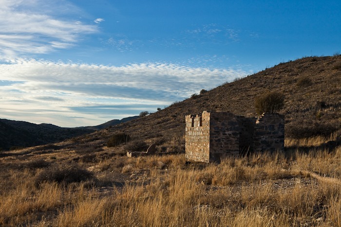
In the distance, we could see the remains of the fort.  I tried to imagine the relief felt by survivors of Apache raids when they realized they were going to make it to the safety of the fort:

Day153_04

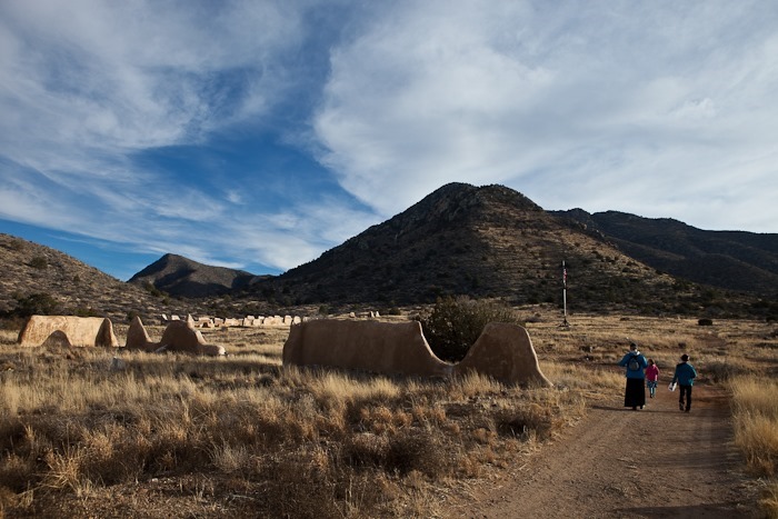
After the kids received their Junior Ranger badges at the visitor center from Ranger Ross, we walked the ruins.  Many of the building were made of low-grade adobe, now stabilized by an overcoating of plaster by the Park Service:

Day153_05

Day153_06

Day153_07

Day153_08

Day153_09

Day153_10

It was neat to find artifacts and know that they were from the 1860s, contemporaries of President Lincoln:

Day153_11

Day153_12

Day153_13

Day153_14

Day153_15

Day153_16

Day153_17

Day153_18

We stopped in at the cemetery on the hike back to the RV:

Day153_19

Day153_20-2

Day153_21-2

Day153_22

The sunset was amazing:

Day153_23

Day153_24

Day153_25

Day153_26

We drove down from Fort Bowie’s trailhead parking about a mile to overnight on BLM land with decent 4G service.  See the trip map for details.  Tomorrow we will head back to Chiricahua
Day 152: Casa Grande National Monument

We left the Walmart in Tempe, AZ this morning, and after stops at Lowe’s and the bank, we headed Southeast to Casa Grande National Monument.  There’s not much here, as the Monument exists primary to preserve and interpret the three-story “Casa Grande”, the largest known structure built by local 15th century Native Americans:

Day152_01

It doesn’t seem like much of an accomplishment, but considering the fact that the entire structure was built using clay plastered over wood framing, it’s pretty impressive:

Day152_02

Day152_03

Junior Ranger badges were earned, as usual:

Day152_04

Leaving Casa Grande, we headed South towards Tucson, stopping at a Walmart for dinner.  This Walmart has “no overnight RV” signs posted, probably due to local campgrounds lobbying town government to restrict overnight camping in an attempt to force RVers to pay for camping at their facilities.  I suspect most RVers in fact do what we did, namely, move on to the next free parking location.  The real loser here is Walmart, as RVers that park overnight tend to purchase items while they’re there.
We headed South for another 20 miles and are parked for the night at the Desert Diamond Casino on South Nogales Highway.  There are 10 or so other RVs here, and we do have WiFi, though it’s only twice the speed of dialup.  Tomorrow we will head East to Chiricahua National Monument.  See the trip map for details.