Day 520: The Amazing Trona Pinnacles

This morning we hitched up and filled up at the Furnace Creek gas station before leaving Death Valley.  We’ve been on the road so long that this doesn’t even qualify as a tight fit:

Day520_01

So long, Death Valley!  I was sad to leave, but I’m sure we will be back someday:

Day520_02

We drove north and west to cross Townes Pass, then drove south through the Panamint Valley to the company town of Trona, California, named after the mineral mined there.  From there, we drove south on a dirt road to the Trona Pinnacles National Natural Landmark.

The pinnacles are tufa spires formed here when this basin was the floor of a 600 foot deep lake.  Hot springs beneath the lake floor squirted calcite-rich water up into the cooler lake water, which cooled the spring water and precipitated out calcium carbonate around the spring vents.  Over time, these precipitates accumulated and built up around the vents to heights of over 140 feet tall.

As the Sierra Nevada mountains continued to rise, less and less rain clouds were able to make it over the mountains from the ocean.  The climate in the valley became increasingly dry, and the lake dried up, leaving the previously submerged lake floor and its tufa spires exposed: 

Day520_03

We picked a flat spot next to one of the tufa spires to call home:

Day520_04

Day520_05

There are hundreds of spires here:

Day520_06

Dozens of movies have been filmed here.  We are parked on the left side of the spire that is brushing McCoy’s shoulder in this scene from Star Trek 5:

image

Getting ready for Shabbos at the pinnacles:

Day520_07

Sunset was amazing:

Day520_08

Day520_09

Day520_10

Good Shabbos from the Trona Pinnacles:

Day520_11

See the trip map for today’s drive and our current location.
Day 519: Death Valley Visit 2, Day 10

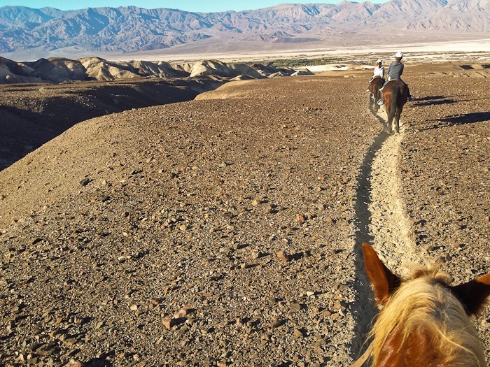
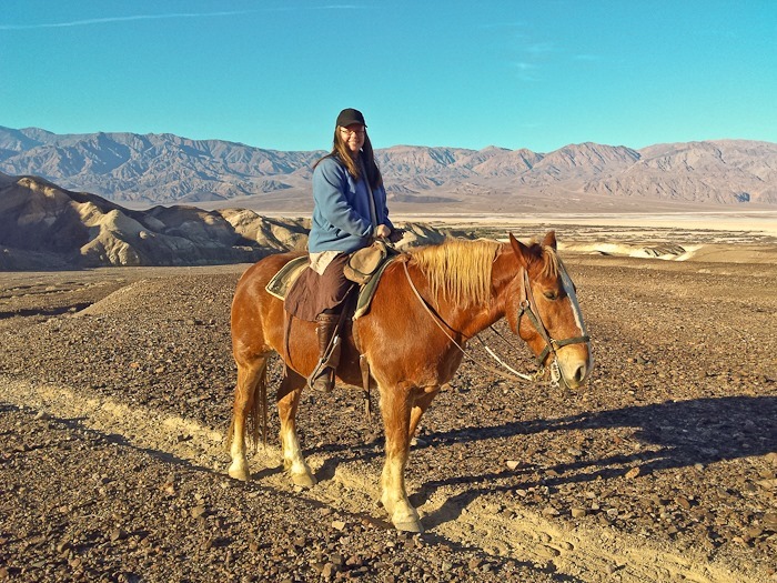
Trish went out for a two hour ride this morning:

Day519_01

Day519_02

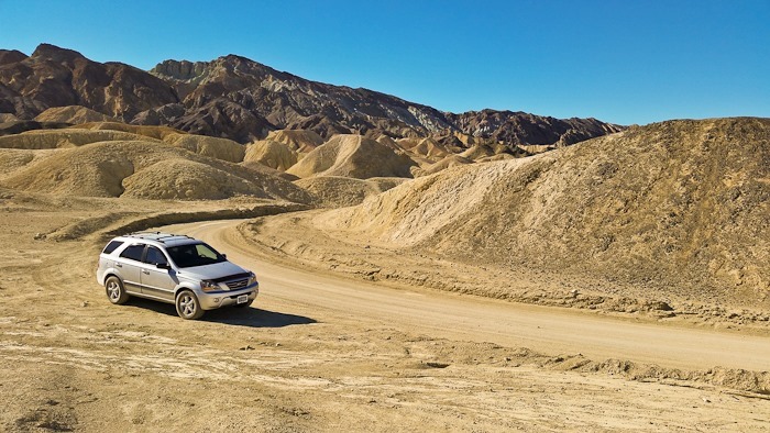
After she returned, the four of us and Bubbie drove through 20 Mule Team Canyon:

Day519_03

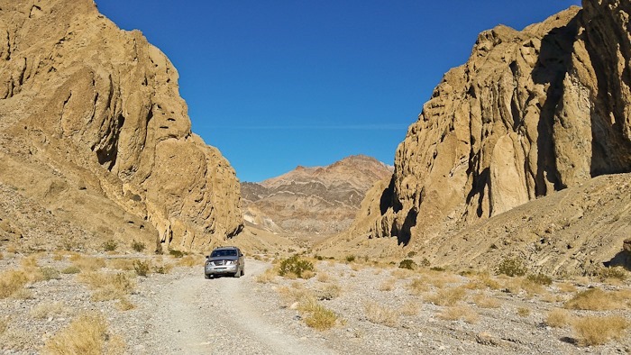
On the way back, we drove up to the aptly named Hole in the Wall:

Day519_04

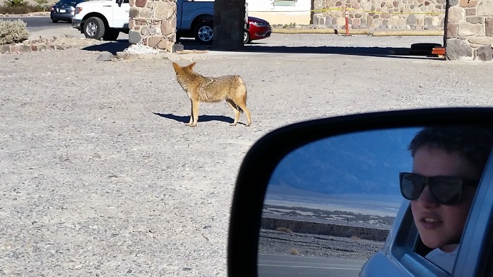
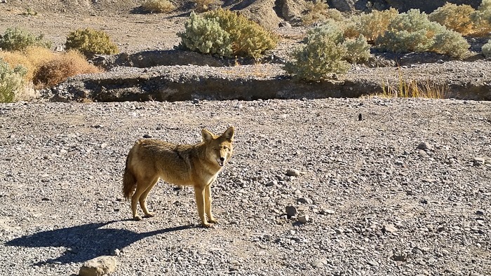
As we were returning to Furnace Creek Ranch, we spotted a coyote.  Maybe he’s looking for the roadrunner I met yesterday:

Day519_05

Day519_06

I tried to fly towards evening, but I let go of the As too early on the first two launch attempts, and pulled too much brake on the last attempt.  At that point I was tired, so we packed it in.
We went to an excellent ranger program tonight about the pioneer, mining, and tourism histories of Death Valley.  Afterwards, there was a volunteer set up with a telescope, which was pointed at Comet Lovejoy.
Day 518: Death Valley Visit 2, Day 9

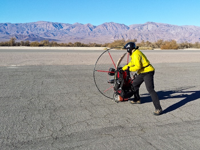
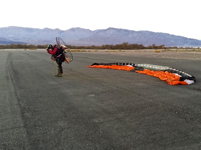
I decided to fly this morning.  Here I’m power testing the motor:

Day518_01

Day518_02

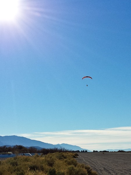
And away!

vlcsnap-2015-01-11-21h24m28s246

vlcsnap-2015-01-11-21h24m54s242

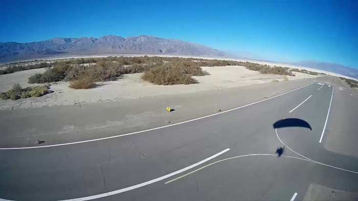
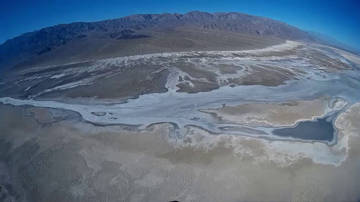
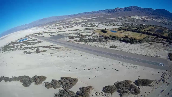
It’s interesting how different the valley looks from 1,000 feet up:

vlcsnap-2015-01-11-21h25m20s20

Day518_03

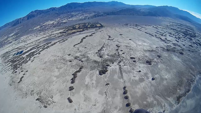
Furnace Creek Ranch is left of center in this photo:

vlcsnap-2015-01-11-21h25m43s240

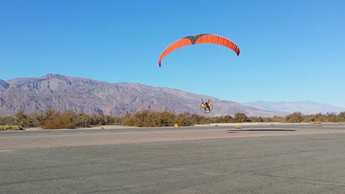
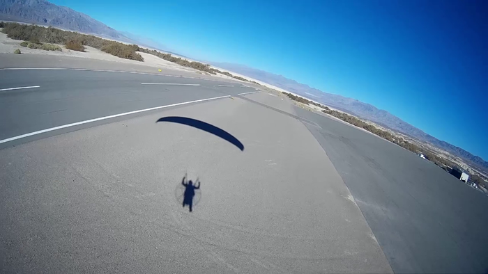
Coming in to land:

vlcsnap-2015-01-11-21h26m05s180

Day518_04

vlcsnap-2015-01-11-21h26m17s60

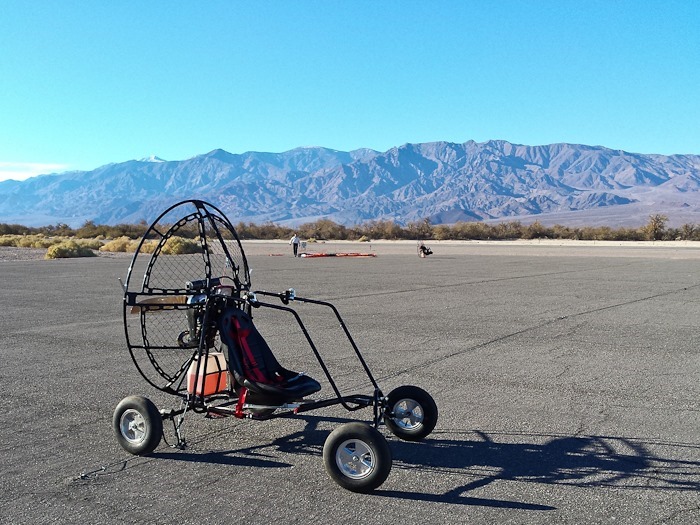
There’s another PPG pilot here, flying a quad buggy instead of foot launch.  This is the only aircraft being stored at the airport today:

Day518_05

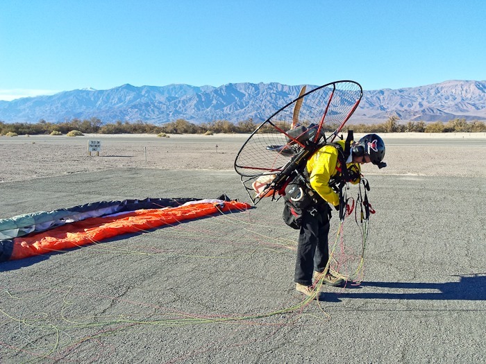
Packed up and ready to head back to the RV:

Day518_06

Here’s my flight path:

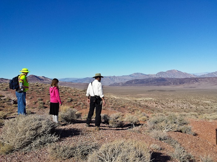
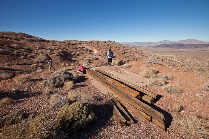
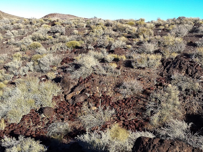
This afternoon we drove up to the Greenwater Valley.  The goal was to visit three town sites from the days of Death Valley mining from 1900 to 1910.  Our first stop was the town site of Furnace.  Nothing remains of the settlement, so we hiked up to look at an old mine:

Day518_07

Day518_08

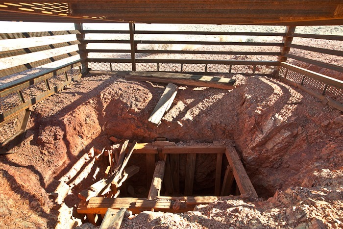
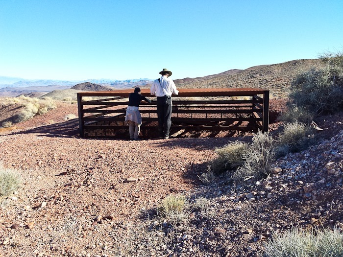
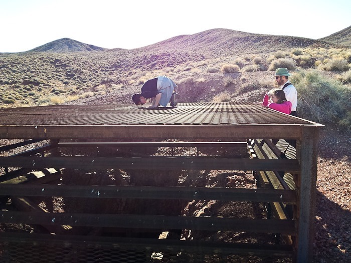
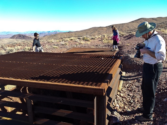
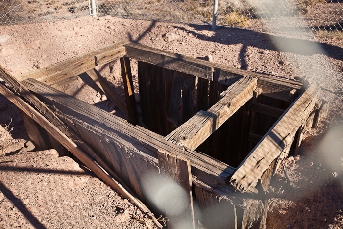
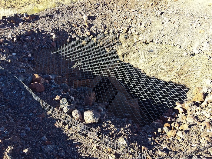
The mine has been capped to prevent foolish tourists from being hurt:

Day518_09

Day518_10

Day518_11

Day518_12

Day518_13

The concrete pad is probably the base for the winch used to pull mine cars up the shaft:

Day518_14

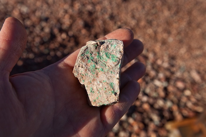
Not much copper was found here, but traces of other green minerals like malachite can be found on rocks here:

Day518_15

Another capped mine:

Day518_16

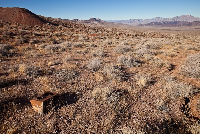
This piece of rusting metal is all that remains of Furnace:

Day518_17

Another mine:

Day518_18

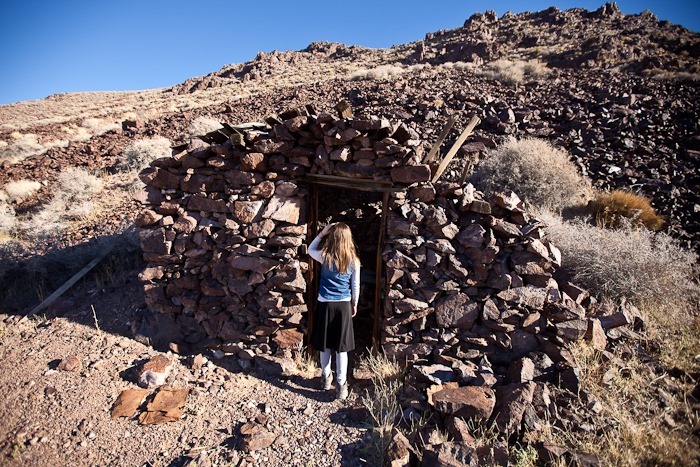
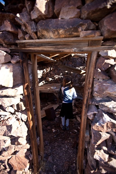
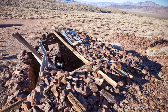
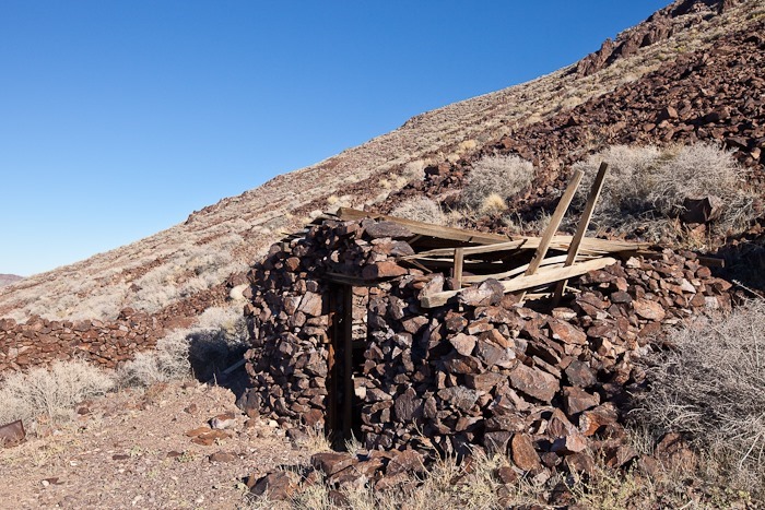
Next we visited the town site of Kunze, where several stone building still stand, at least partially:

Day518_19

Day518_20

Day518_21

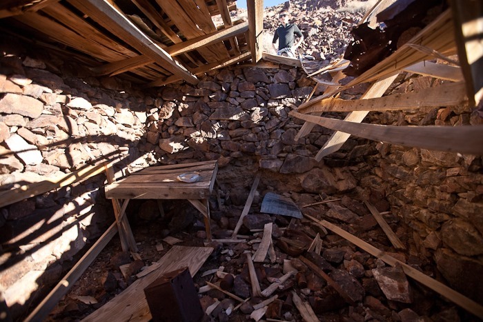
This house now has an unintentional skylight:

Day518_22

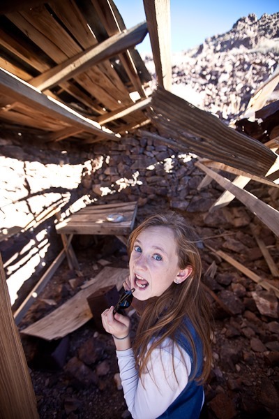
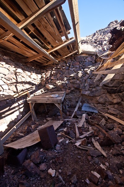
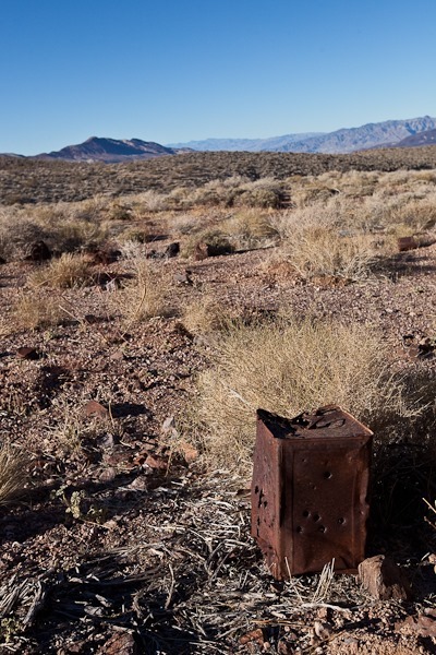
The artifacts and furniture here are probably about 110 years old:

Day518_23

Day518_24

Day518_25

Day518_26

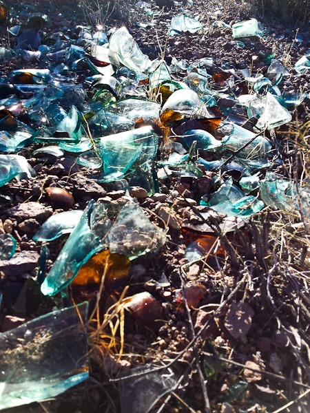
Lots of old broken glass around here:

Day518_27

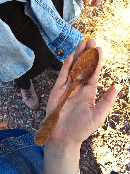
Trish found an old spoon:

Day518_28

The town can dump?

Day518_29

Another mine:

Day518_30

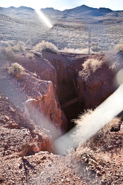
This mine opening was large, and stones thrown in took a good 6 seconds to hit bottom, so the shaft must be pretty deep:

Day518_31

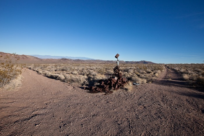
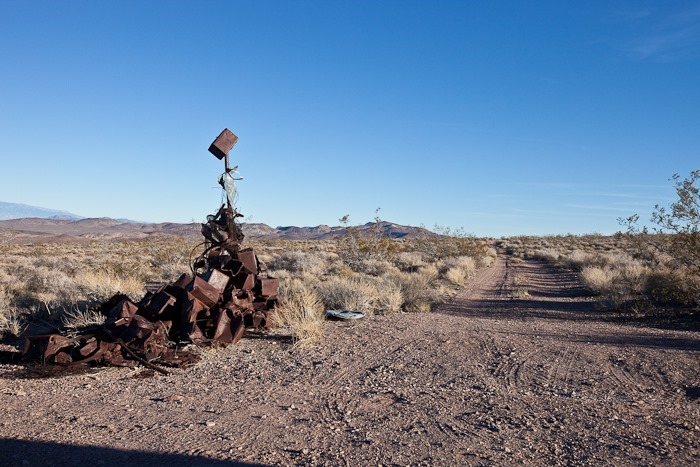
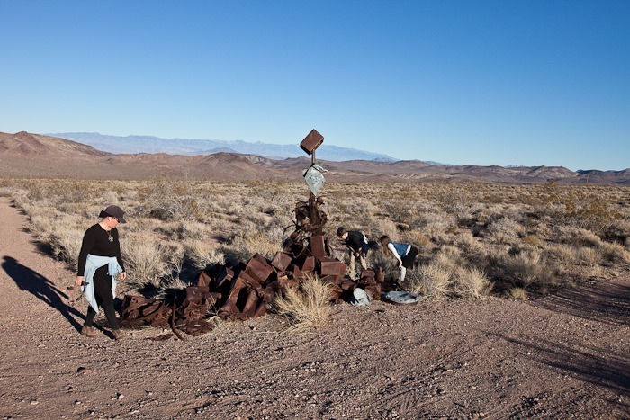
Our last stop was the town site of Greenwater.  Nothing remains except a modern sculpture made from antique debris collected here:

Day518_32

Day518_33

Day518_34

We had a great time learning about this aspect of Death Valley’s history!

Day 517: Death Valley Visit 2, Day 8

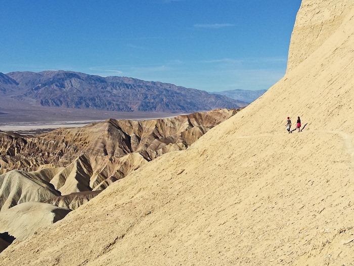
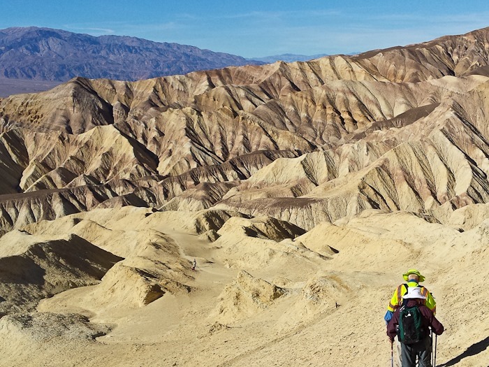
Today Trish and the Kids went hiking with Bubbie and Zayde up Gower Gulch and back down through Golden Canyon:

Day517_01

Day517_02

Day517_03

Manly Beacon:

Day517_04

Day517_05

Day517_06

Day517_07

Day517_08

Traversing the shoulder of Manly Beacon:

Day517_09

Day517_10

Day517_11

Manly Beacon from the Golden Canyon side:

Day517_12

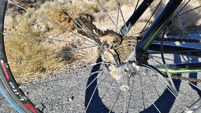
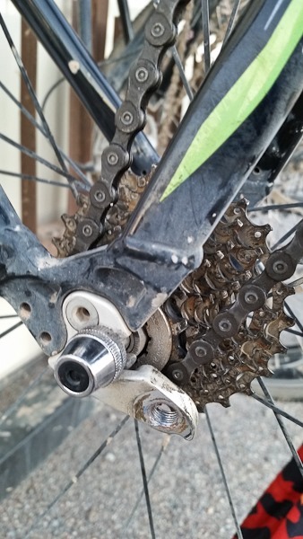
Meanwhile, I joined a couple other cyclists from a nearby campsite to ride up to Dante’s View.  Two miles from the top, a chain link pin came loose, caught in the idler pulley cage, and pulled the rear derailleur up and into the wheel.  that brought me to a stop rather suddenly:

Day517_13

I removed the derailleur from the frame, and used my chain tool to remove enough links to turn my bike into a one speed.  I was able to continue the ascent, but I was in the hardest gear on the rear cassette, so it was tough going.  I did have to get off and walk a couple segments:

Day517_14

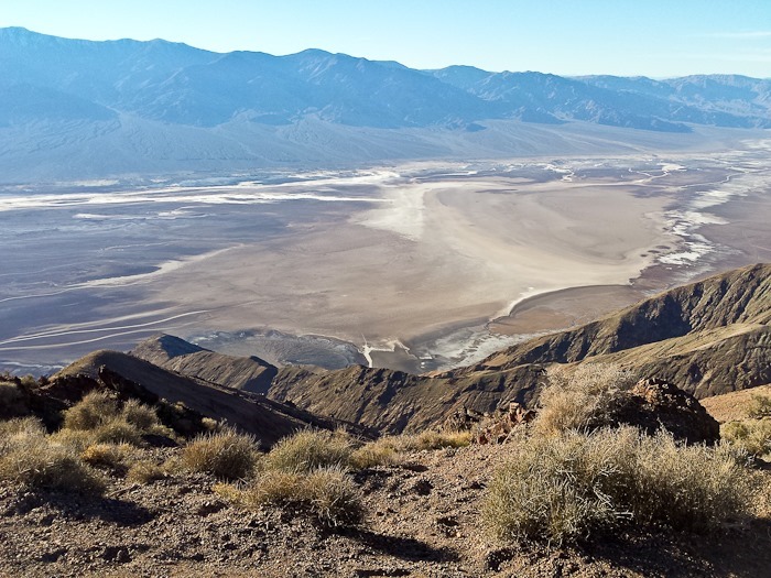
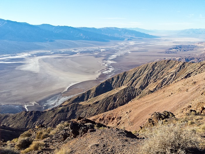
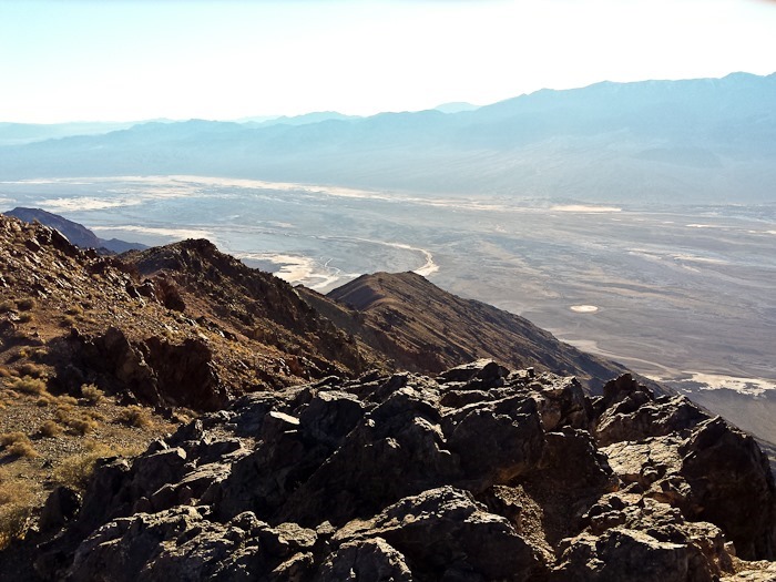
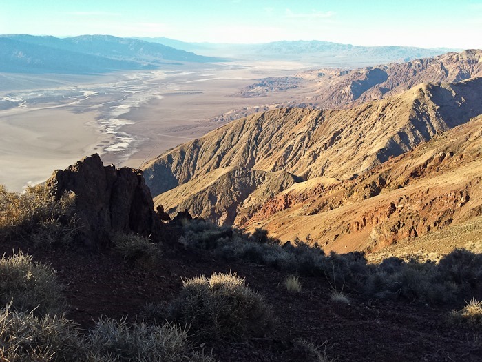
I did eventually reach the top.  The ride was 32 miles with over 6,000 feet of vertical.  Great views of Death Valley from the top:

Day517_15

Day517_17

Day517_18

Day517_19

Looking back down at the final ascent:

Day517_16

Unfortunately my phone died before capturing the last 900 feet of ascent, but you get the idea:

Day 516: Death Valley Visit 2, Day 7

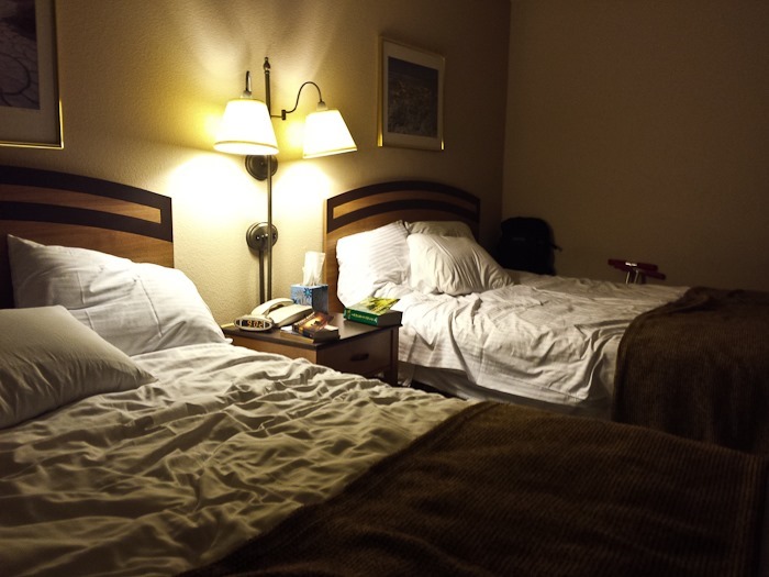
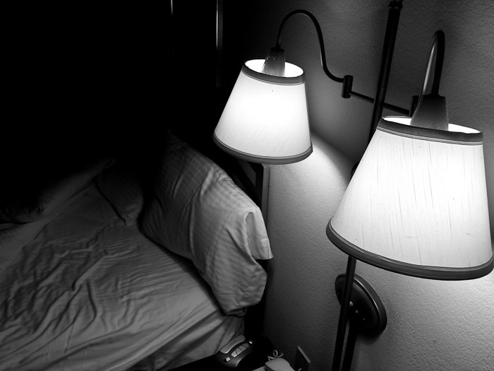
Although my parents went home with David and Leisl and the kids yesterday morning, they kept the hotel room even though they didn’t come back until the middle of the day.  The kids had never slept in a hotel room, so Trish and the kids spent the night in the hotel room.  It’s funny that for them it was an exotic travel experience.  B was so excited she took pictures:

Day516_01

Day516_02

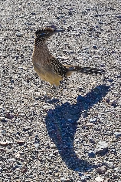
This morning a roadrunner came by to say hello:

Day516_03

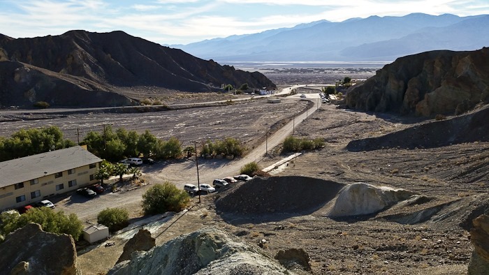
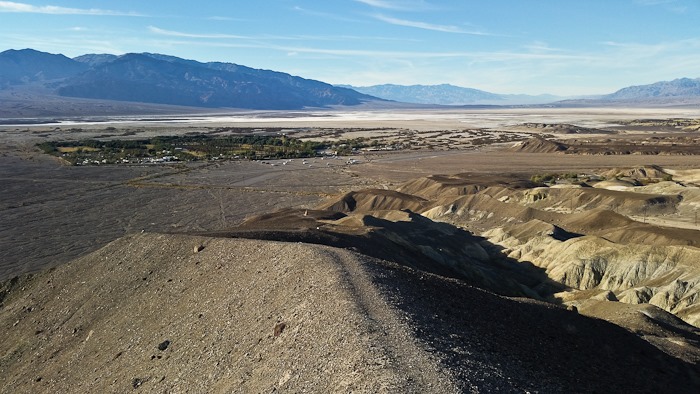
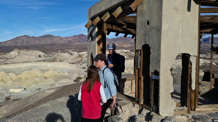
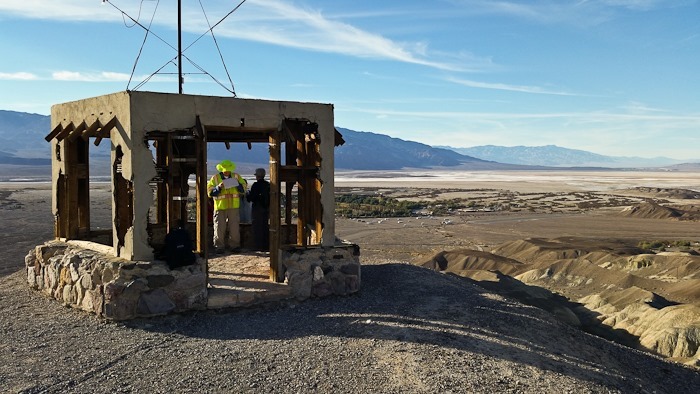
Once my parents arrived back in Death Valley, we hiked up to the gazebo above the Death Valley Inn:

Day516_04

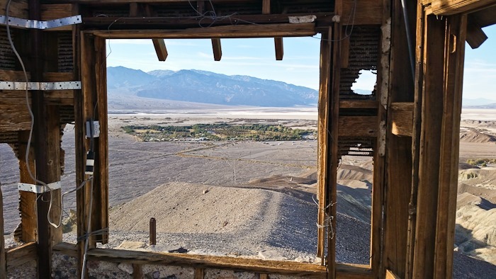
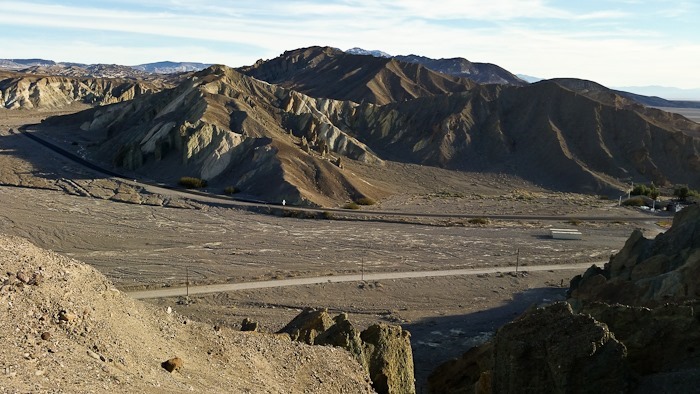
Viewed from here, it’s obvious that Furnace Creek Ranch is a man-made oasis in the middle of a vast desert valley:

Day516_07

The gazebo has seen better days:

Day516_06

Day516_08

Day516_09

Day516_10

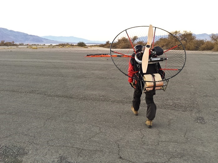
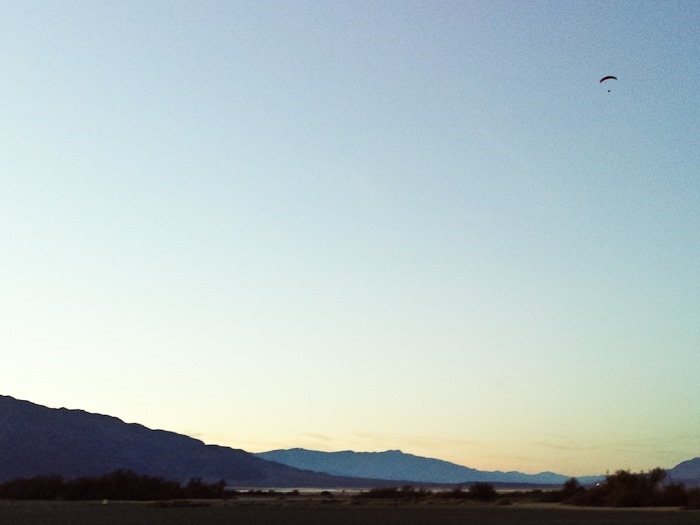
I went up for a flight near sunset.  As a kid I used to bike out to the airport and watch the planes takeoff and land.  I was excited to finally be using the airport as a pilot:

Day516_11

Day516_12

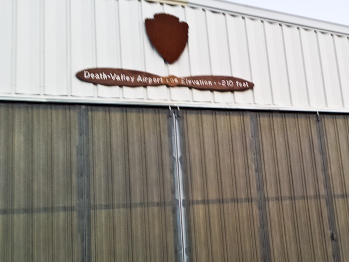
It’s the lowest airport in the US.  At 210 feet below sea level, the air is thick, so takeoff runs are short:

Day516_13

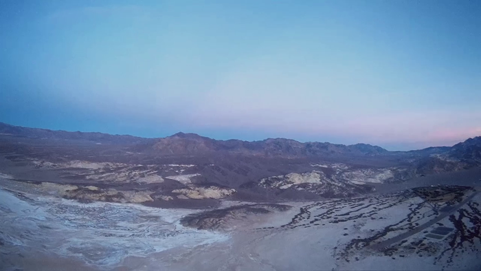
I had to go quite high to conform to the FAA request to fly high enough to avoid bothering wildlife:

Day516_14

The airport and Furnace Creek are on the right side of the photo.  I’m at about 1000 feet here:

vlcsnap-2015-01-11-21h36m54s45