After finishing homeschool fro the day, we drove out to Quoddy Head State Park, the easternmost point of land in the continental US. The state park is the home of the West Quoddy Head Light, which wasn’t doing much good today on account of the thick fog:
After walking around for a bit we drove into Lubec. The bridge to Canada’s Campobello Island disappeared into the fog:
We drove through the two blocks of downtown Lubec. Most of the shops were closed, so we continued on and drove back to the RV.
This morning we left the RV early and drove the truck across the bridge from Lubec, Maine to Campobello Island, New Brunswick. We had an easy border crossing:
We arrived at the northern tip of the island, where Head Harbour Lightstation is located. Campobello Island is in the Bay of Fundy, best known for its extreme tidal range of up to 53 feet, much greater than the worldwide average of two feet. The lighthouse is on an island, but for a couple hours centered around low tide, it’s possible to walk from the mainland across the sea floor to another island, then across the sea floor again to the island that houses the lighthouse.
The lighthouse in the distance:
We started down the ladder to get to the lighthouse:
Looking back at the mainland, the brown portion of the island is underwater at high tide. The bar we just walked across is under 25 feet of water at high tide:
There’s a bridge between the first and second islands:
Down the staircase to walk across the sea floor to get to the third island:
It’s hard to believe that this area will be deep under water in a few hours:
We explored the lighthouse complex:
Worrying about the tide, we started walking back towards the mainland:
We decided to hang out for a while on the bar, which even in the fifteen minutes since we first walked across it has narrowed considerably:
We saw jellyfish like this still in the water with light reflected off their cilia, causing them to appear to blink on and off:
After another 15 minutes, the sea reclaimed the bar. The tide rises at a rate of five feet per hour, which is one inch per minute:
Driving back down the island, we passed this boat graveyard. Locals tow their unwanted boats up here at high tide and just leave them:
It’s called a cottage not because of its size but because it has no insulation and is therefore only usable in the summer:
The house is over 10,000 square feet in size and has dozens of rooms for the Roosevelt family, the president’s political advisor, and their six maids:
This board would indicate to the maids which room was ringing for service:
B photographed the gardens:
The visitor center had one side of the exhibit space devoted to the Roosevelt story, and the other half devoted to the close relationship between the US and Canada. This is an international park, funded equally by the NPS and the Canadian parks commission and staffed by personnel from both countries:
We drove out to walk the boardwalk through Eagle Hill Bog. Along the walk we spotted a carnivorous pitcher plant which eats insects by drowning them in its water-filled pitchers:
Looking out over the bog:
We saw this little squirrel on the walk back:
Blueberries in the bog:
Our last stop of the day was the Mulholland lighthouse, which protects the international channel:
From the lighthouse, we could view Lubec, Maine across the channel. The three black dots in the water are harbor seals:
We crossed back into the US and returned to the RV where we did homeschool and a bit of art:
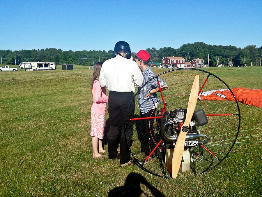
Surprisingly, the airport fogged this afternoon, so I won’t be flying tonight:
Today we said goodbye to Bruce and Naomi and their kids. B made a new friend in Bangor, and asked if we could move here. We carefully maneuvered out of their driveway onto the street:
We drove east, stopping to overnight at the Airport in Lubec, Maine, the easternmost town on the US mainland:
We had a beautiful sunset:
Trish did some doodling during the drive today:
I was on track for a flight tomorrow morning until I hurt my back trying to put away the generator. We will see how I feel tomorrow morning.
See the trip map for today’s drive and our current location.
We had a great Shabbos with the community in Bangor, Maine. Including me and M, we had a minyan for shacharis. I ended up doing a portion of the Torah reading, which wasn’t pleasant for anyone, but eventually we got ‘er done. In the afternoon we visited and played a couple games of dominoes, which thanks to Grandpa Glenn and Edna we already knew how to play.
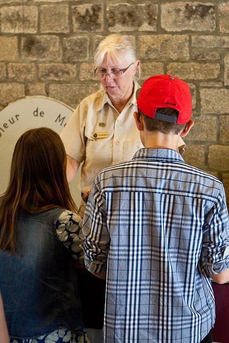
Today we left the RV at Bruce and Naomi’s house in Bangor and drove down to Acadia National Park. We stopped in at the obscenely crowded visitor center and picked up Junior Ranger workbooks for the kids. Our first stop was Cadillac Mountain, the highest mountain on Acadia’s Mount Desert Island. At 1530 feet above sea level, it’s the highest coastal mountain on the US east coast.
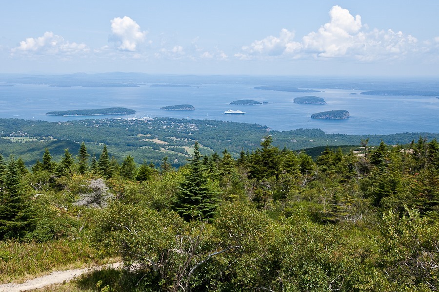
From the summit, we looked out over the island group in Frenchman Bay towards the Schoodic Peninsula beyond:
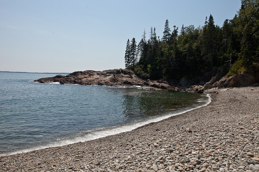
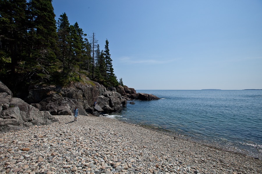
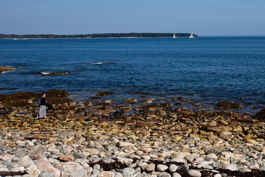
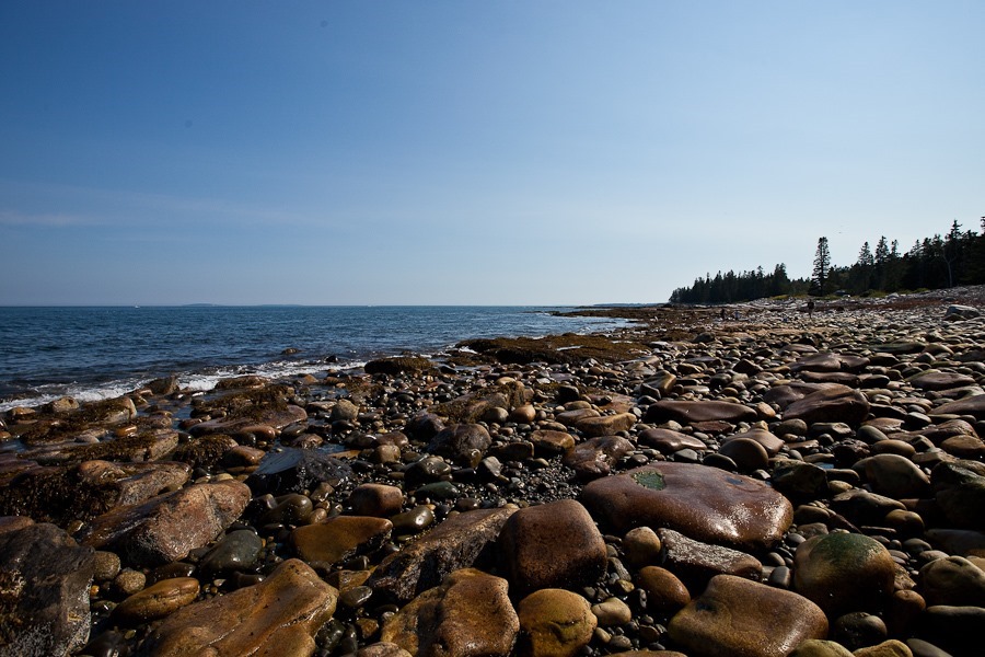
We followed the loop road around to Sand Beach and Thunder Hole, but the parking areas were full, so we continued on to visit Little Hunters Beach. When a large wave receded, the cobbles rolling towards the ocean made a wonderful sound:
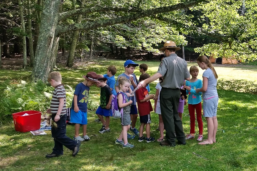
The Junior Ranger workbook required that we attend a ranger program, but this program was for the younger set, so we didn’t stay:
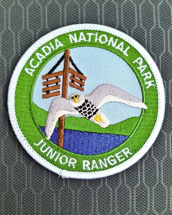
The kids completed their workbooks and received their Junior Ranger patches:
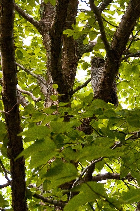
Near the visitor center, we toured the “Wild Gardens of Acadia”, which is a series of planted areas that simulate the various biomes found on the island. In the “woodland stream” area, a toddler ran up to us and told us that we had to come see an owl in the tree:
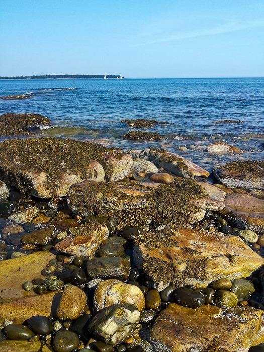
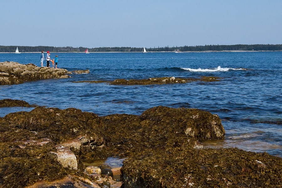
We drove to the southwest corner of the island and visited the area called “Seawall”:
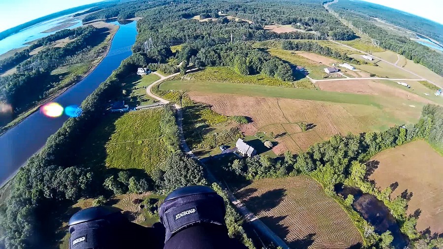
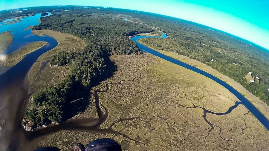
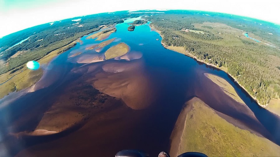
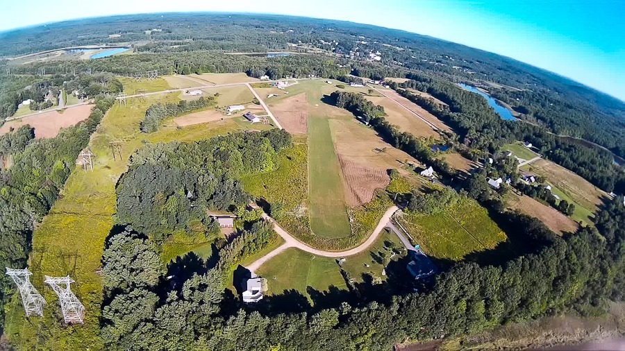
This morning the weather was just perfect. I took off a bit earlier today.
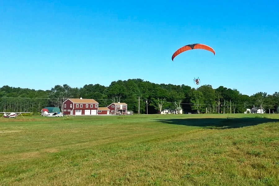
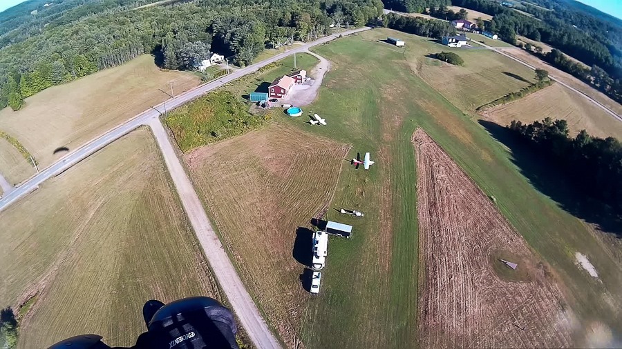
Launch of flight 55:
I flew for about 45 minutes:
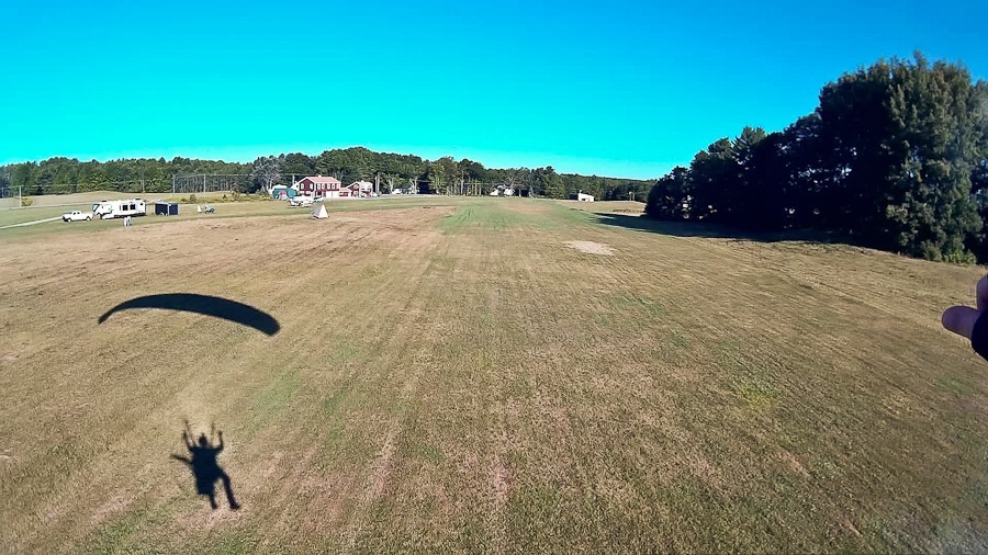
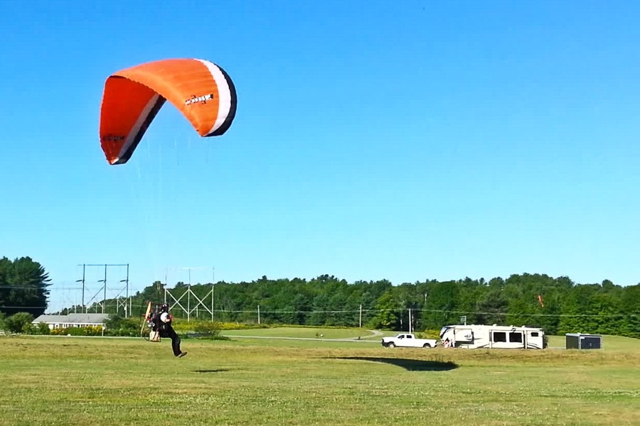
The grass was slick with dew, so I slipped and fell at the very end of the landing:
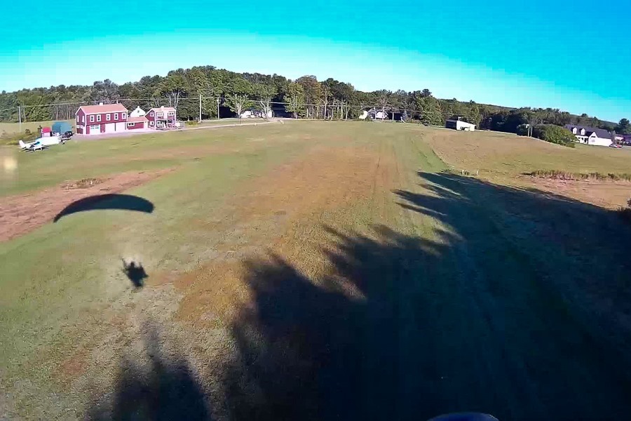
Reviewing the video to see what went wrong with the landing:
For the sake of completeness, here’s the video from yesterday’s and today’s flights:
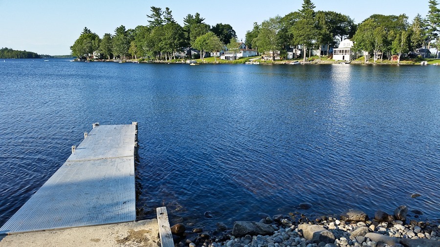
We drove north to Bangor, where we will spending Shabbos with Congregation Beth Abraham. We managed to squeeze our RV into the driveway of our hosts, Bruce and Naomi. I went for an afternoon ride and ended up at this lake:






 Facebook
 Instagram
 Email
Email