
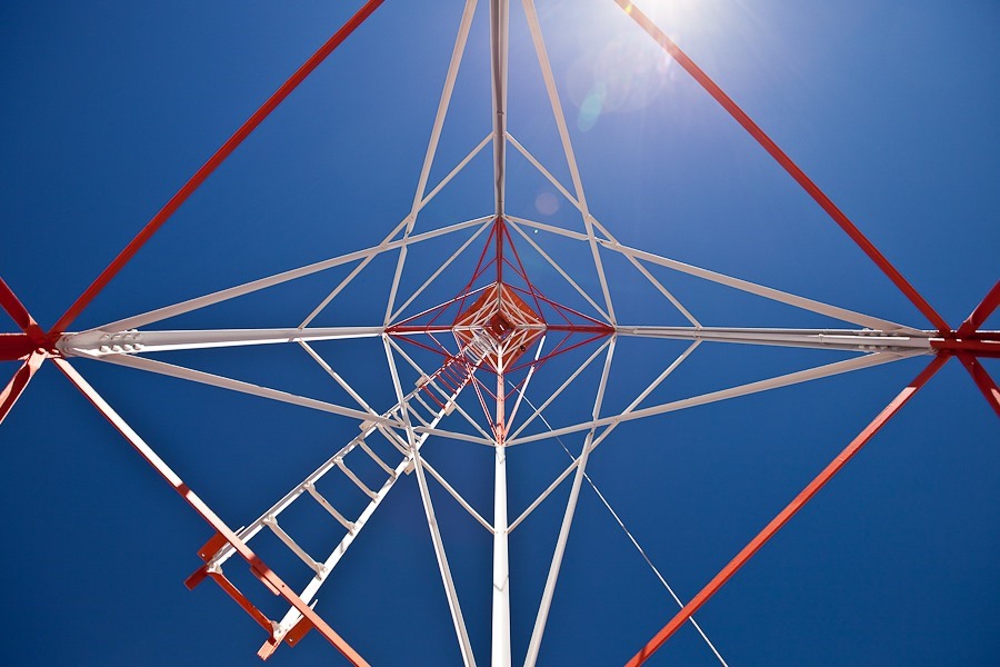
At the beginning of our trip, one of our readers e-mailed a link to us about the giant concrete arrows that were installed all over the US to aid in air mail navigation in the 1920s (thanks Mrs. S!). Each site consisted of a 51-foot tall lighthouse, an operations shack, and an arrow shaped concrete slab. These sites were spaced about 10 miles apart from one another so the pilot could find his way along the route. Thanks to this network of beacon stations, night flying was made possible, halving the time needed for air mail to make its way across the country.
On Day 106, we found our first navigation beacon site, and on Day 200 we found our second site. Today we visited the Western New Mexico Aviation Heritage Museum, which hosts a restored navigation beacon site. The authentic generator shack and light tower were brought here from two different beacon locations, and placed on this recreated concrete navigation arrow:
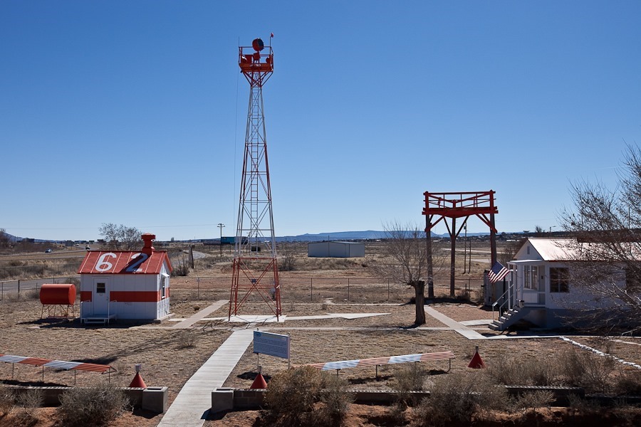
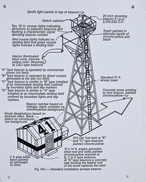

One side of the shack’s roof is painted with the beacon number, which usually corresponds to the distance, in tens of miles, from the beginning of the route:

The other side of the roof shows the route name, in this case Los Angeles to Albuquerque:

During the day, the pilot would use the arrow to adjust his heading to the next beacon station as he flew over:

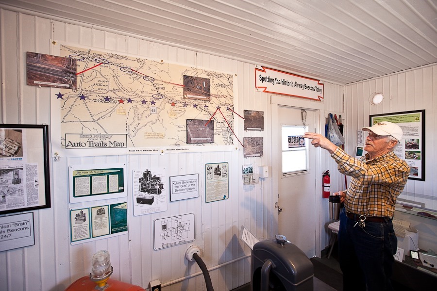
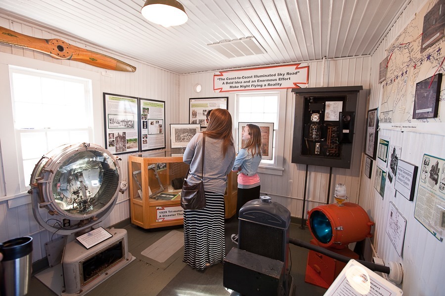
The inside of the shack has been converted into a museum describing the history of these beacon stations:


A scale model of a beacon station:

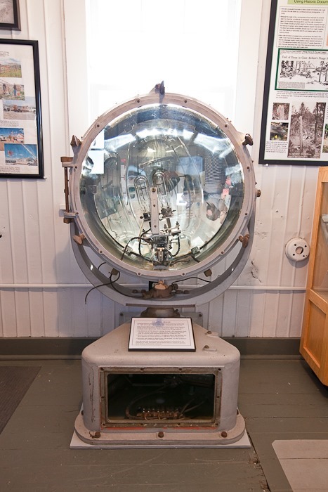
This rotating signal light is two feet across and is illuminated by a 1,000 watt bulb. A spring loaded mechanism automatically switches to a backup bulb when the primary bulb fails:
A model of the Ford Trimotor, the 747 of its day, used by Transcontinental Air Transport to transport passengers and air mail along the route. It was a TAT-piloted Trimotor that crashed near here into Mount Taylor in 1929, the first plane crash on a regular commercial land route:

This display shows concrete arrows that still exist:

Transporting and restoring the shack and tower:

In an adjacent communications building, I noticed a license plate fragment was used to patch a hole in the floor:

Eventually concrete arrows were phased out in favor of elevated steel arrows, as the latter could not be buried under snow:

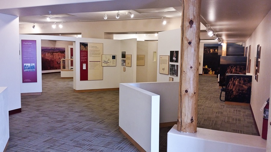
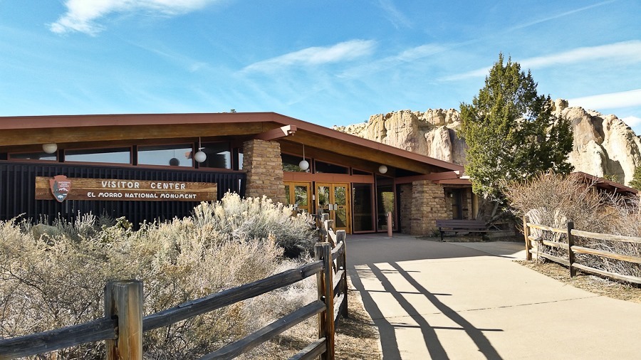
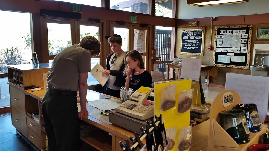
We next visited the visitor center for El Malpais National Monument:

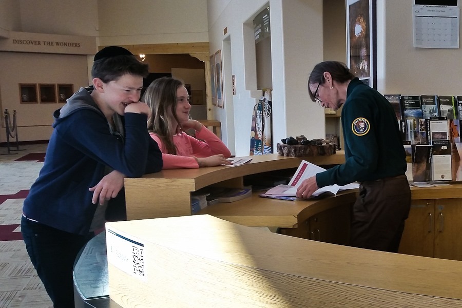
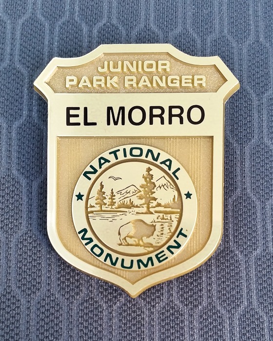
The kids completed their Junior Ranger workbooks and received their badges:


We drove south to visit locations in El Malpais National Monument. We also visited the visitor center for the BLM’s El Malpais National Conservation Area which is adjacent to the National Monument:

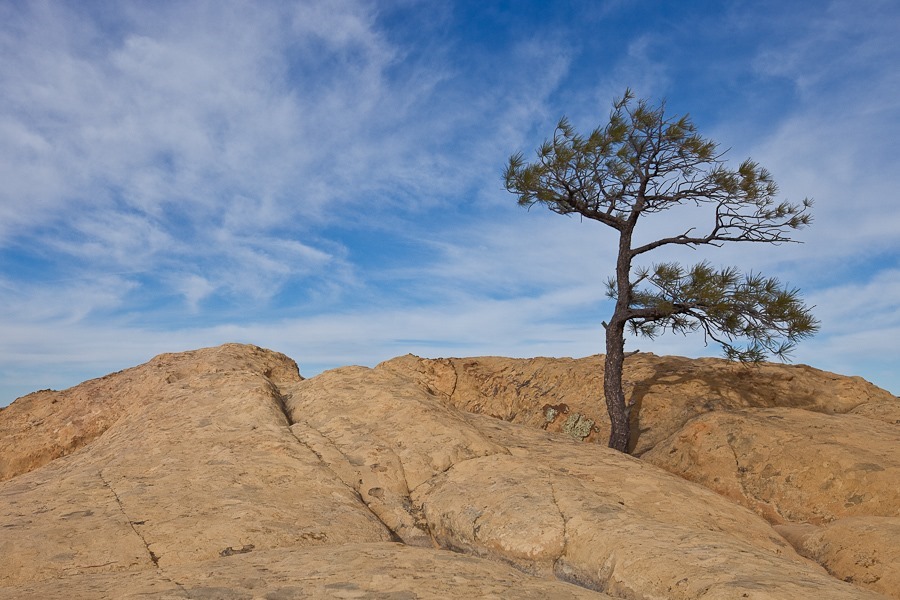
We visited the Sandstone Bluffs Overlook:


B photographed this caterpillar:

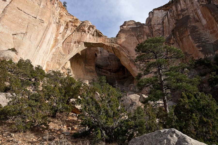
Next we hiked out to La Ventana Natural Arch:


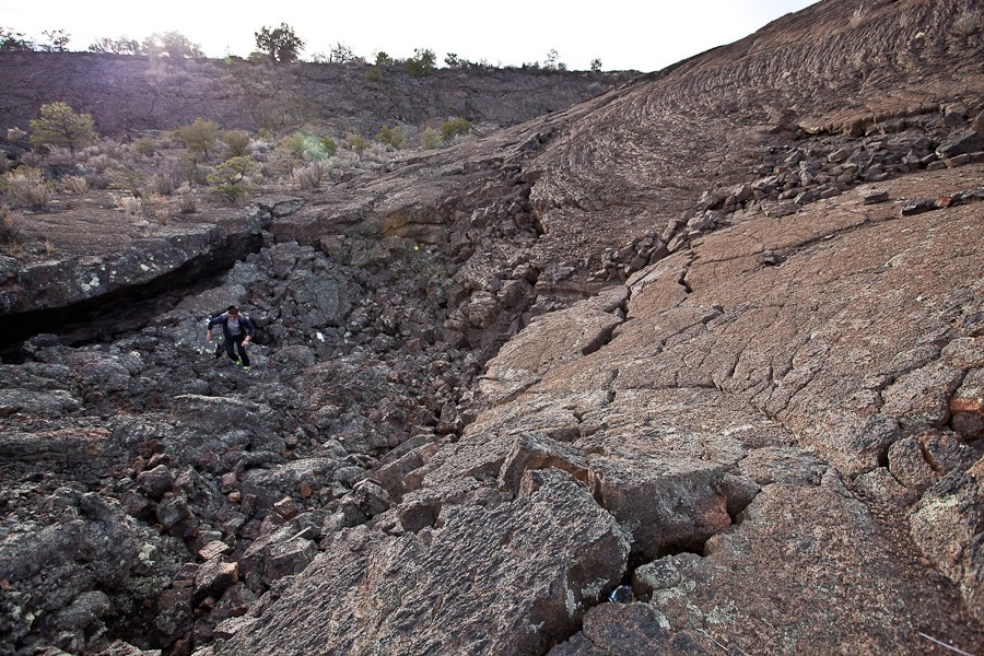
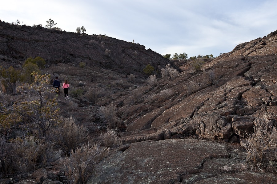
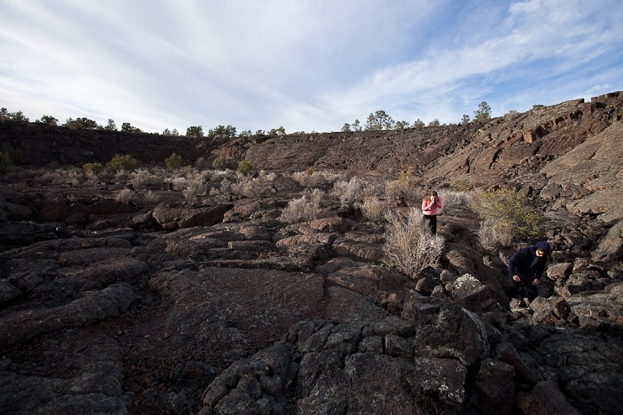
Our last stop was the Lava Falls area, where the trail took us out onto the lava flows that are the primary feature of El Malpais National Monument:

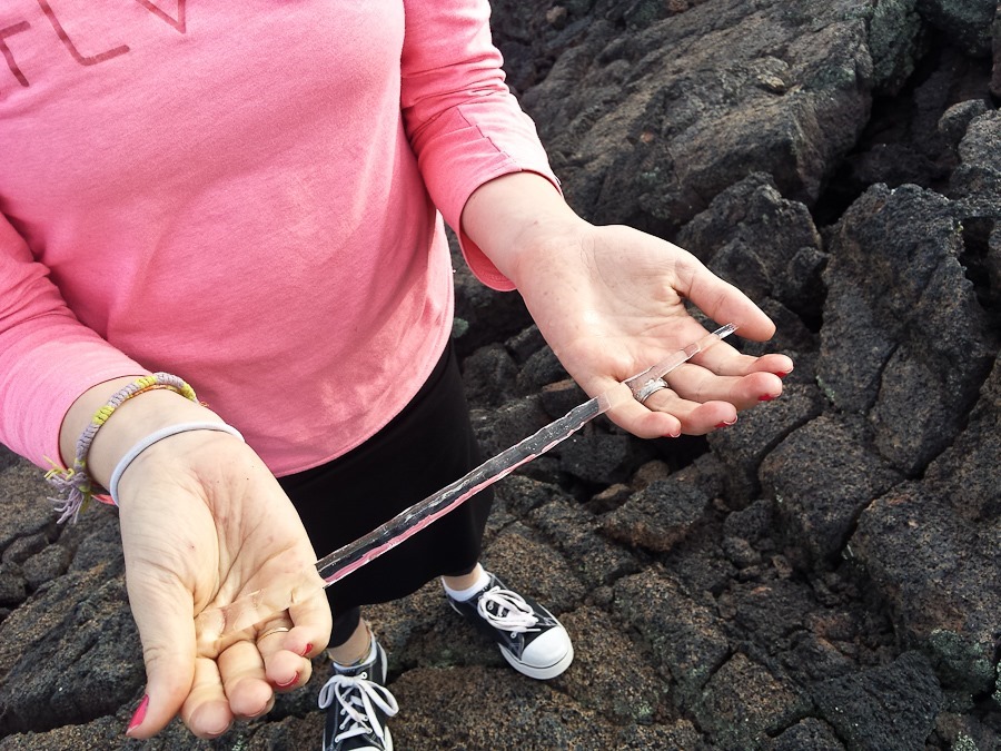
The kids found icicles handing under a shaded shelf in the lava flow:



We continued south and east to overnight on BLM land next to the Very Large Array, which we plan to visit tomorrow.
See the trip map for today’s drive and our current location.


 Facebook
 Instagram
 Email
Email