I walked across the road to fly. After moving the wing a few times to line up with shifting winds, I launched flight #117:
There’s the RV below:
Overflying the badlands:
Since I launched late in the morning, it was bumpy aloft, so I decided to cut the flight short and land. Lining up for landing:
Another great breakfast:
We drove southwest, passing wild horses along the way:
We arrived at our first stop, Fantasy Canyon. We explored the interesting formations:
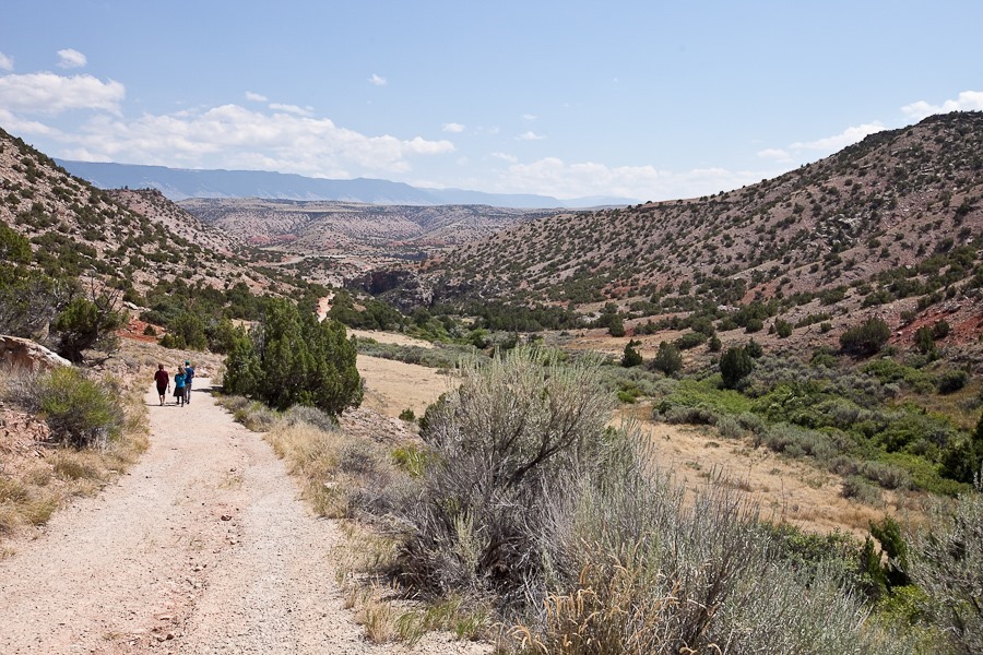
Walking down the canyon:
We left Fantasy Canyon, driving east into Colorado. We stopped in Grand Junction to do the laundry, then continued on to overnight at Shaare Shamaim, a recently founded rural Jewish community:
See the alternating light blue line on the trip map for today’s drive.
This morning, M and I got up before sunrise, unhitched from the RV and drove northeast to the Killpecker Sand Dunes, one of the largest living dune fields in North America. We last visited here in 2010, but today I was here to fly my PPG over the dunes. We walked around looking for a suitable launch site:
Launching here under ideal conditions would be challenging due to being at over 7,000 feet above sea level. Winds were light and maddeningly uncooperative, frequently changing directions. After a few launch attempts and numerous relocations to try to get lined up with the wind, I decided to pack it in as it was getting late enough in the morning that thermals could become a danger:
M brought his R/C car:
On the way back we could see Boar’s Tusk in the distance:
We reconnected with the RV and headed south, crossing from Wyoming into Utah. Our first stop was Flaming Gorge National Recreation Area. The BOR visitor center is at the dam that backs up the Green River to create the Flaming Gorge Reservoir. A retired hydroelectric turbine is on display in the parking lot:
We drove on to visit the Red Canyon Visitor Center:
From the window of the visitor center, we could look down into the canyon:
We walked out to an overlook:
We continued south, and Trish made some coin purses as we drove:
The main attraction of the Monument is the “wall of bones”, a layer of rock containing hundreds of fossils. Over time, the rock layer uplifted and tilted, and it now 67 degrees from horizontal:
There were some exhibits as well:
We continued south to a dispersed camping location just off the road:
There’s an open area across the road, so weather permitting I’ll try to get in a flight tomorrow morning.
See the alternating light blue line on the trip map for today’s drive.
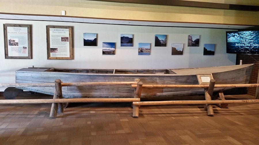
Before the Bighorn River was dammed to form Bighorn Lake, boats like these were used to navigate the rapids in the canyon:
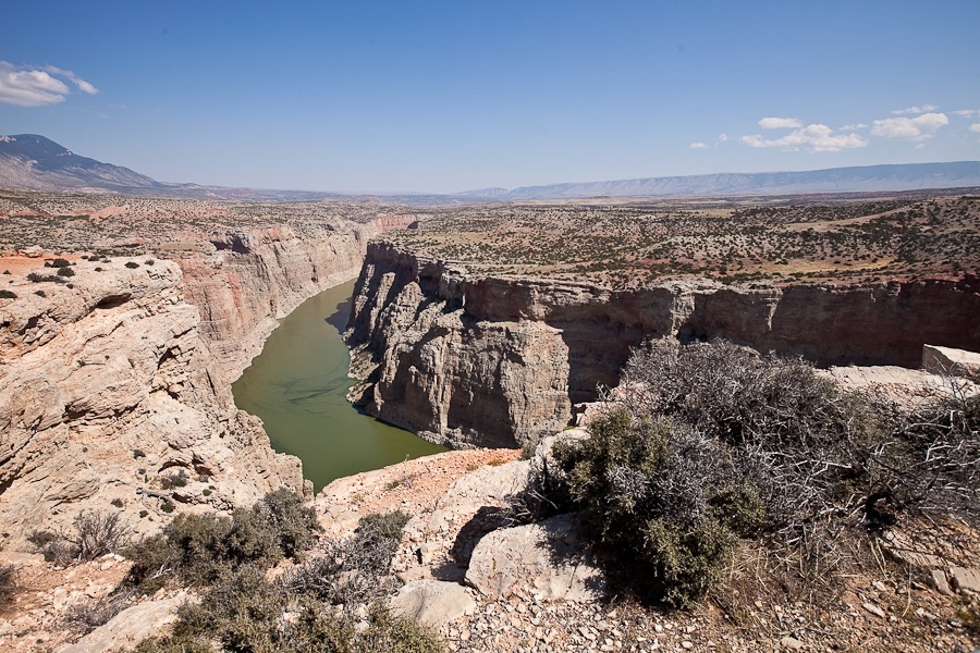
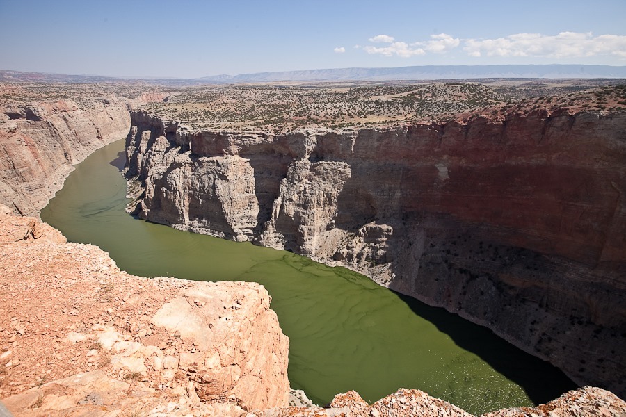
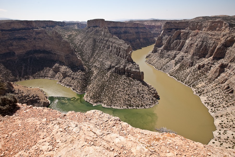
We left the RV at the visitor center and drove north along the canyon to an overlook. We could see the lake far below:
Our next stop was the trailhead for the ghost town of Hillsboro. It was built as a homestead in 1903. When gold mining failed to produce results, the homestead was converted to a dude ranch:
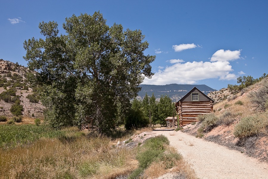
Quite a few buildings remain:
The old post office:
We headed back to the truck:
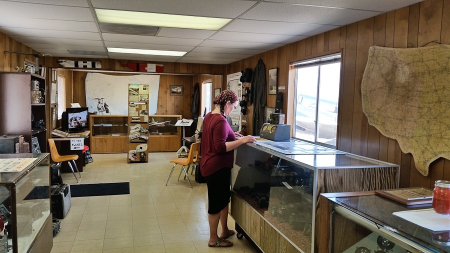
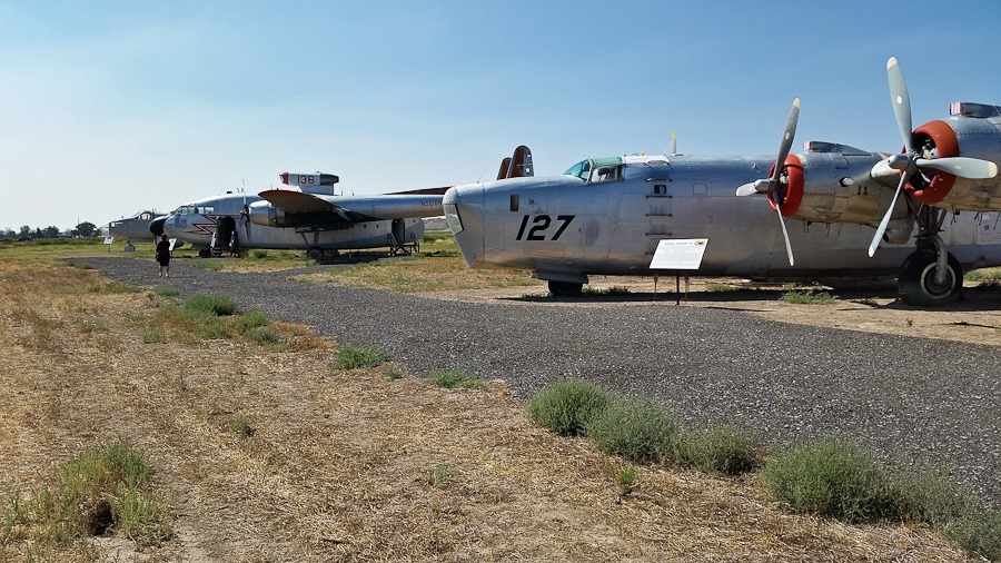
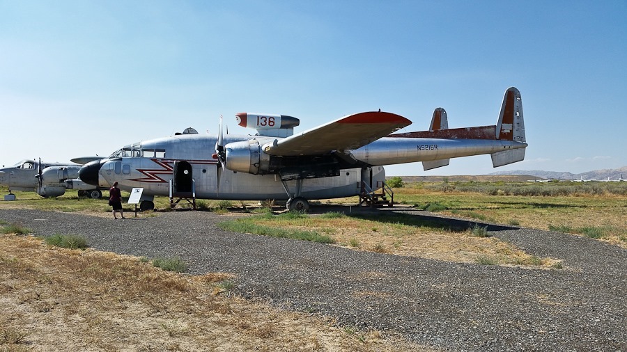
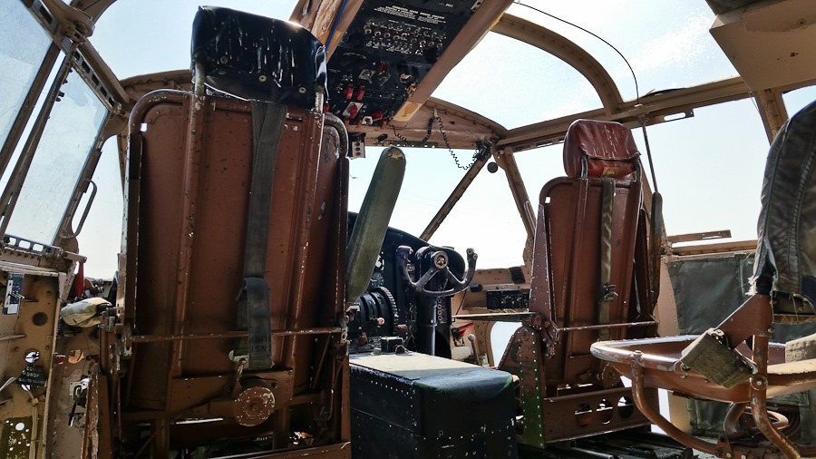
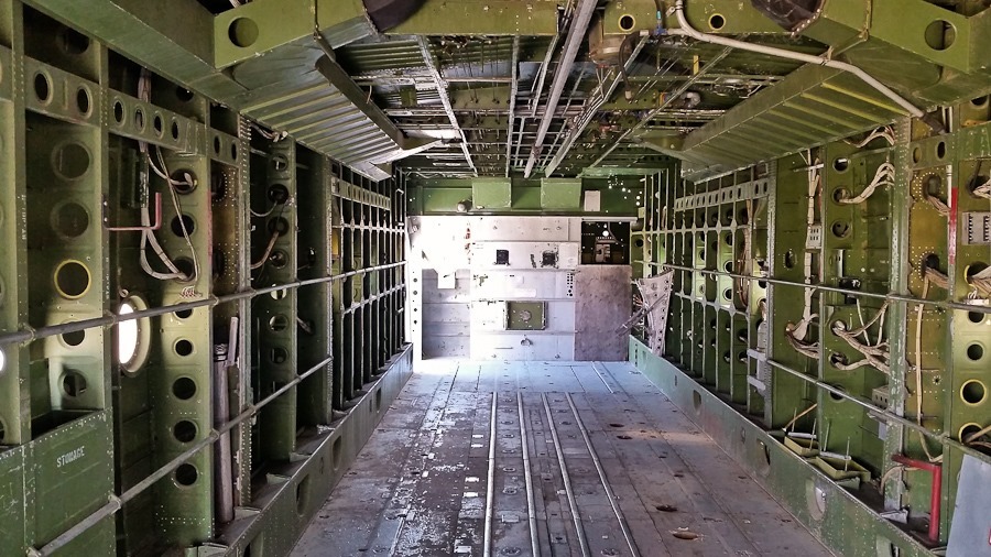
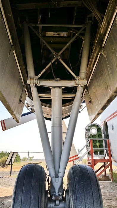
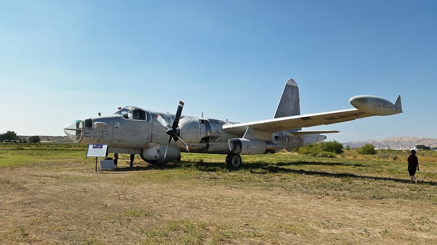
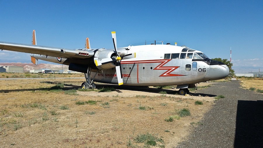
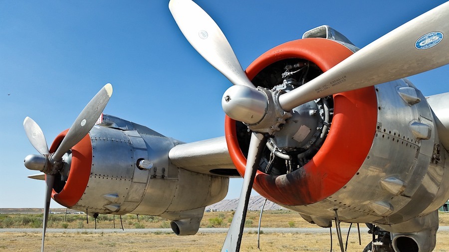
We continued south to the town of Greybull, where we noticed a number of vintage aircraft parked next to a rest stop. It turned out to be the
Shabbos on BLM land in Montana was restful and pleasant. We went for a couple walks and enjoyed the views.
This morning we woke up to cloudy skies after quite a bit of rain overnight:
The ground here must be mostly composed of clay, because it was extremely slick. We hitched up and managed to get the truck and RV turned around before the upwards slope had our wheels spinning uselessly.
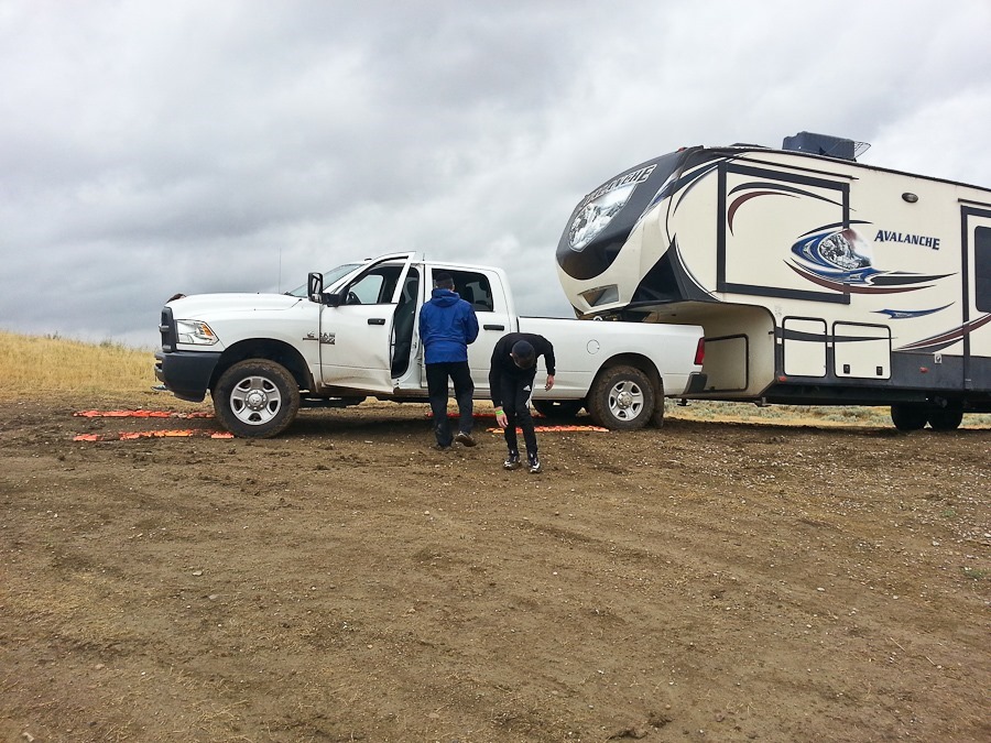
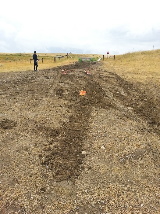
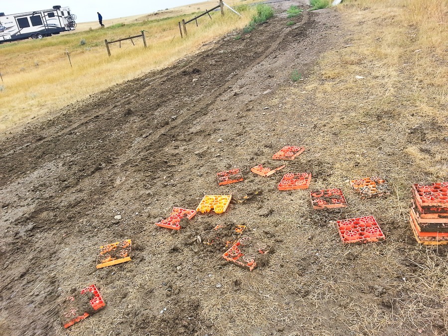
We used our leveling blocks to construct a runway for each tire:
After a couple iterations, we managed to get out onto the road:
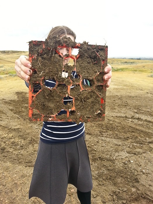
Tough leveling blocks:
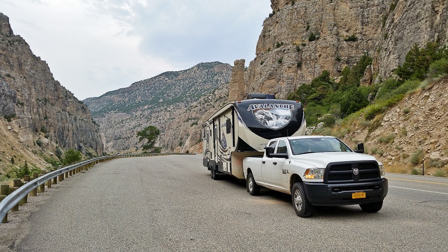
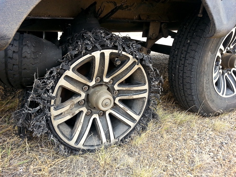
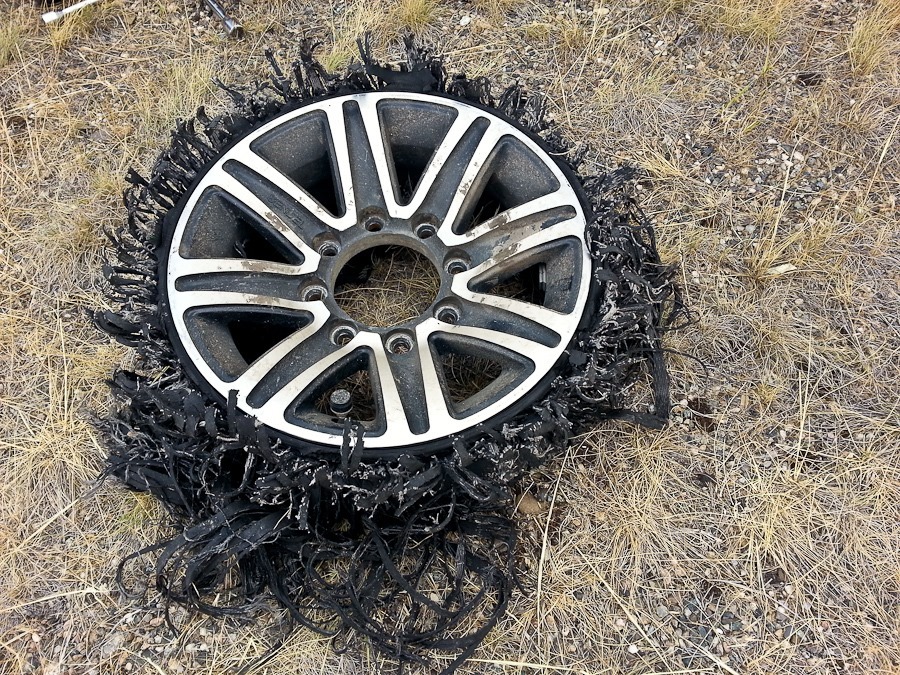
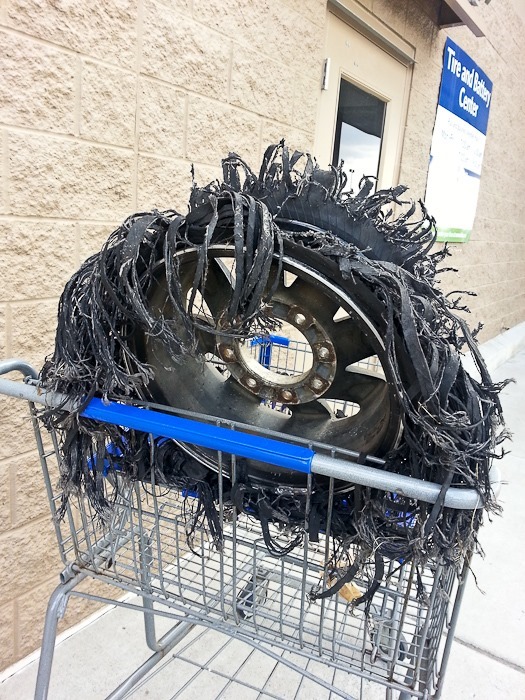
We continued south and west. A motorist motioned to us to pull over and we found that a tire had failed. For some reason, the TPMS system didn’t sound an alarm.
This is the first time we’ve had a tire fail on this RV:
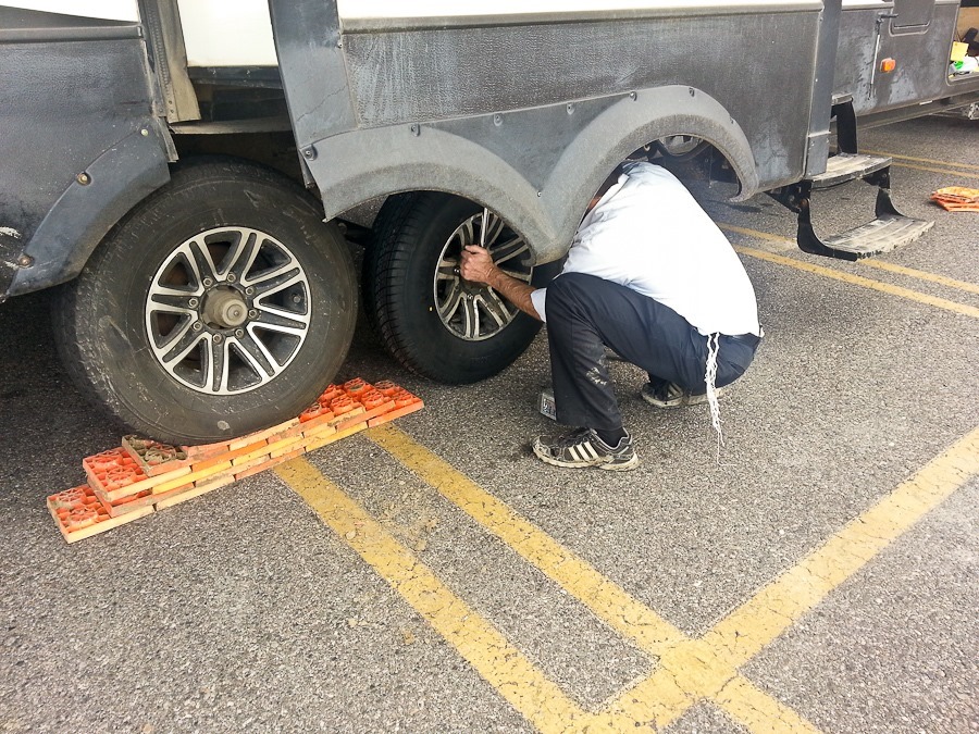
We installed the spare:
The view from where we changed the tire:
It pays to carry a full set of tools:
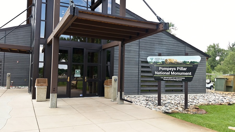
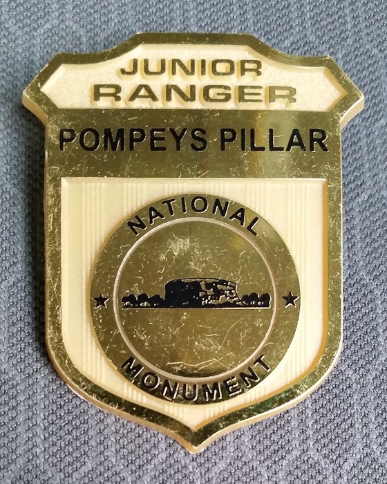
Our next stop was Pompeys Pillar National Monument, a rock outcropping along the Yellowstone River. It was here that William Clark of the Corps of Discovery carved his name into the rock face, leaving behind the only physical evidence of the Lewis and Clark expedition of 1804 to 1806. Clark named the formation after Sacagawea’s son, who was nicknamed “Pomp”.
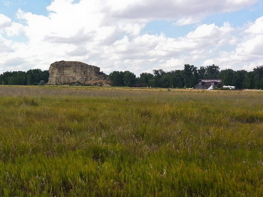
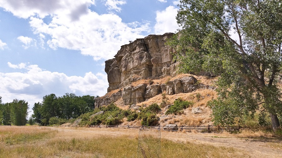
Pompey’s Pillar:
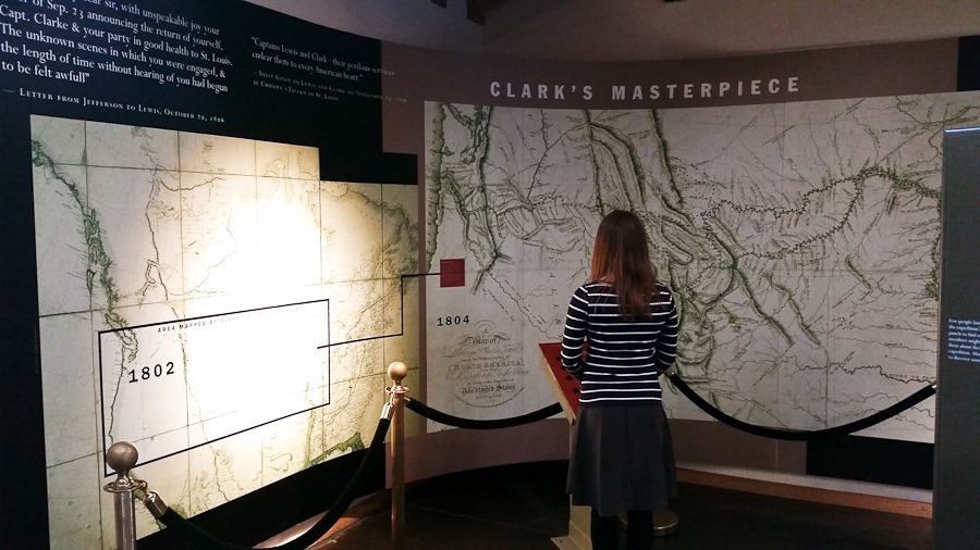
The visitor center showed how much detail was filled in by Clark in maps of the American West thanks to the expedition:
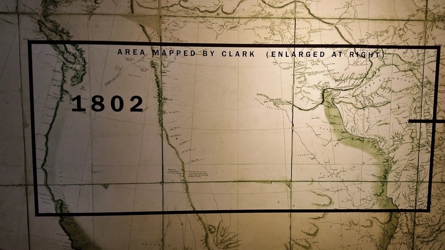
Before the expedition, the western interior of the continent was almost completely unknown, save for the presence of the Rocky Mountains, thought then to be a single ridge of low hills:
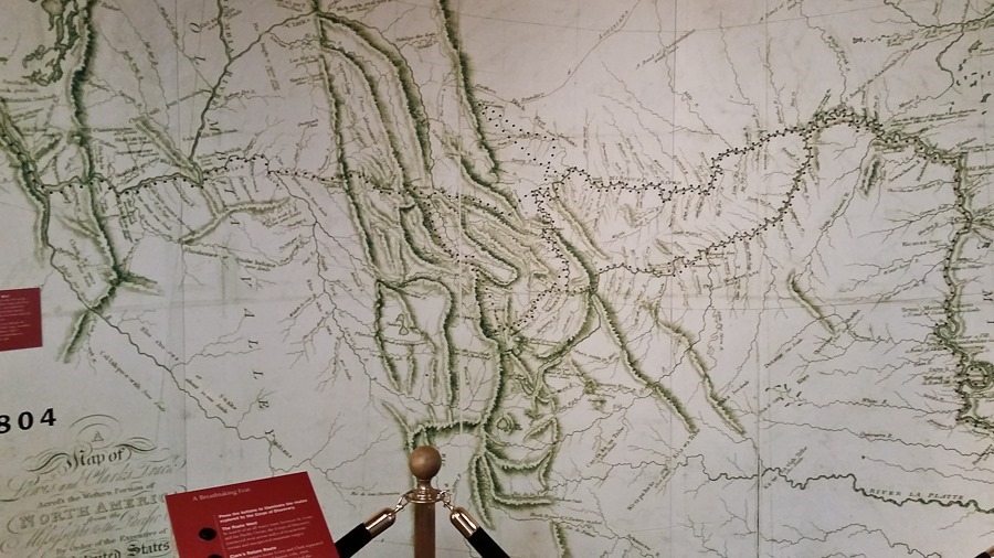
Reality was quite a bit more brutal for the expedition, as the post-expedition map shows:
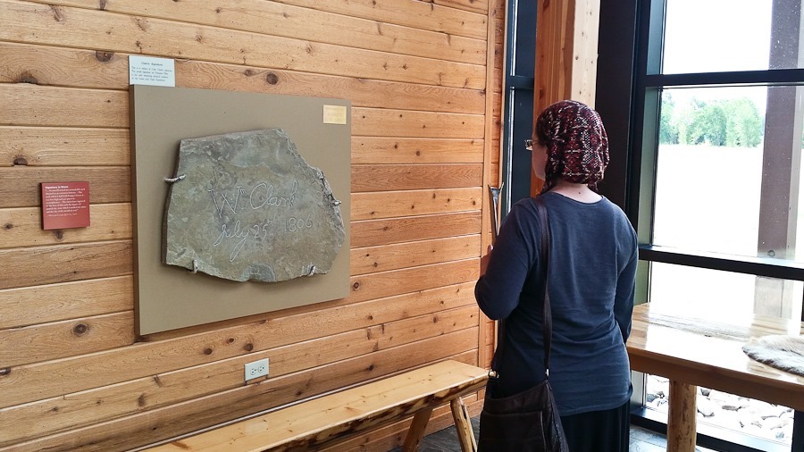
The visitor center has a replica of Clark’s signature:
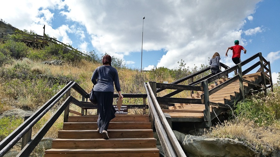
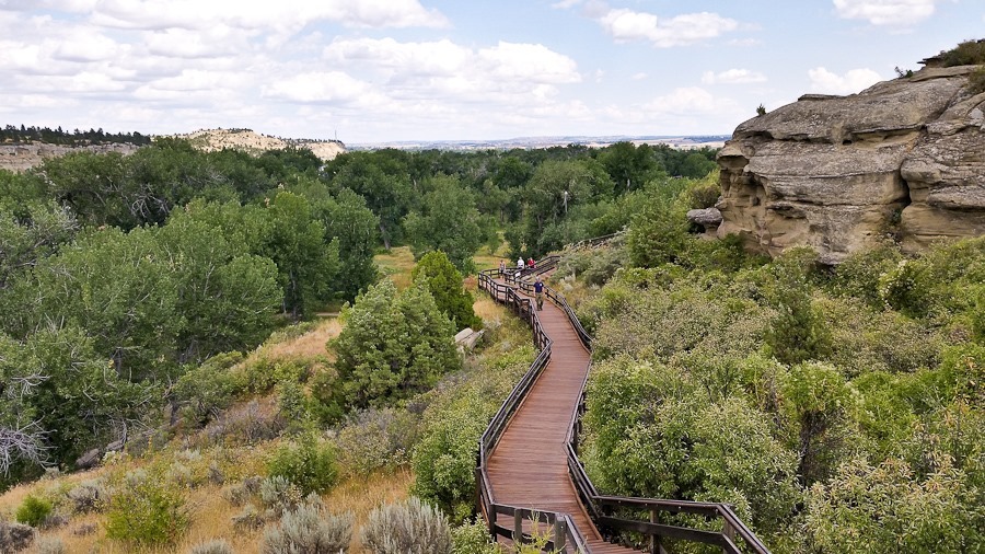
We climbed up the side of Pompey’s Pillar:
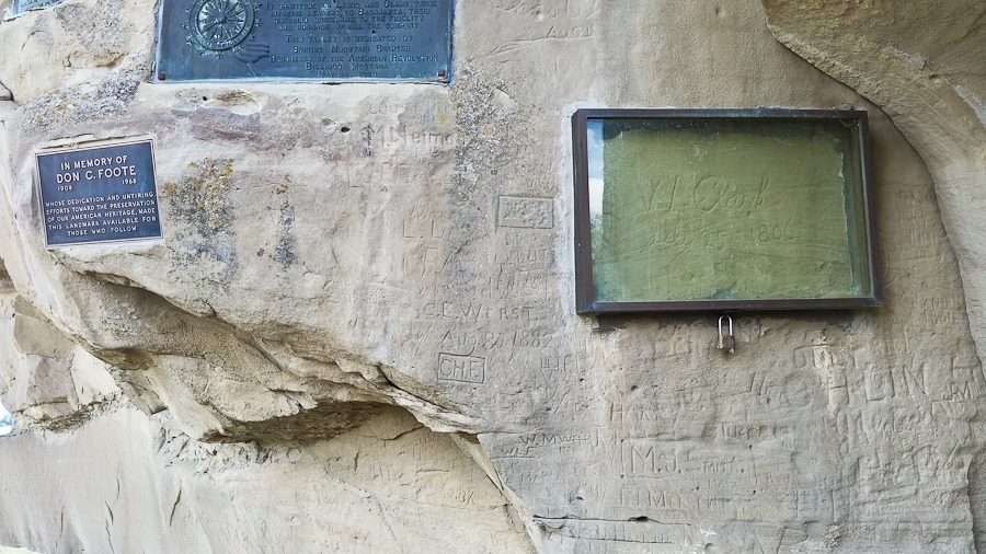
Clark’s original signature, protected under glass:
We continued south and west to Billings where we took our tire to Sam’s Club for replacement:
We continued south, crossing from Montana into Wyoming to overnight at a truck stop near Lovell, Wyoming.
See the alternating light blue line on the trip map for today’s drive.
Trish passes the driving time crocheting. It has been water bottle holders lately:
Since last night’s visit to Theodore Roosevelt National Park was after the visitor center was closed, our first stop of the day was at the visitor center to complete the Junior Ranger program. When we arrived, our TPMS started beeping, so Trish and the kids went to the visitor center while I looked for the problem. Turns out we ran over a screw at some point. I pulled it out and plugged the tire:
We headed north to visit Fort Union Trading Post National Historic Site on the North Dakota / Montana border. The fort was built in 1828 to facilitate trade with Native Americans for Buffalo Robes, used for everything from bedding and clothing to belts for industrial machinery. Between 1928 and 1867, the fort received an average of 25,000 buffalo robes per year. Decimation of the buffalo herds and western migration of settlers rendered the fort obsolete by the late 1860s and it was dismantled. The fort was reconstructed in the 1980s:
Park staff did a live fire demonstration of a period rifle:
All sorts of goods were available to the Native Americans for purchase in exchange for the buffalo robes they brought for trade:
We continued west and south to BLM land near Glendive, Montana for Shabbos. I was thrilled to get back to true dispersed camping:
They don’t call it big sky country for nothing:
M and I drove the truck around the area:
B flew one of our kites:
Good Shabbos from Glendive, Montana! See the alternating light blue line on the trip map for today’s drive.












 Facebook
 Instagram
 Email
Email