Summer 2017, Day 9: Fort Mandan, Knife River Indian Villages NHS, Dakota Gasification, Teddy Roosevelt NP

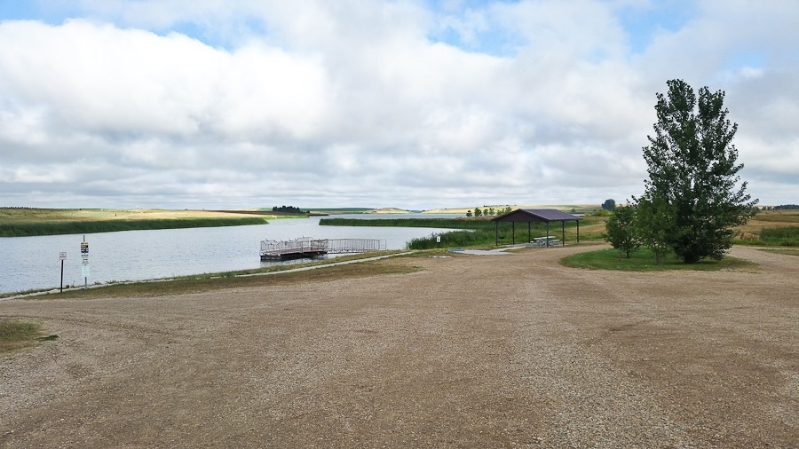
We awoke to a beautiful morning at Chain of Lakes Recreation Area:

Summer2017_Day09_001

I love RV breakfasts:

Summer2017_Day09_002

As we prepared to leave, we stowed the leveling blocks we had parked on and found this fellow living inside:

Summer2017_Day09_003

It’s a Tiger Salamader:

Summer2017_Day09_004

So long:

Summer2017_Day09_005

We drove west, the phrase “God’s country” coming to mind:

Summer2017_Day09_006

Our first stop of the day was the Lewis and Clark Interpretive Center in Washburn, North Dakota:

Summer2017_Day09_007

Summer2017_Day09_008

Summer2017_Day09_009

Summer2017_Day09_010

Summer2017_Day09_011

The museum was very well done:

Summer2017_Day09_012

This air rifle is the same type used by the Corps of Discovery to impress Indian tribes they encountered:

Summer2017_Day09_013

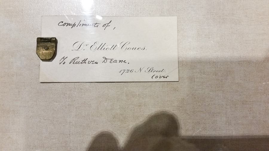
This journal clasp was removed from one of Lewis or Clark’s journals from their expedition, which lasted from 1804 to 1806:
Summer2017_Day09_014

Summer2017_Day09_015

M tried on a buffalo robe:

Summer2017_Day09_016

Thirty years after Lewis and Clark’s expedition, Prince Maximilian of Wied led an ethnographic expedition to chronicle the then-rapidly-disappearing Native American culture:

Summer2017_Day09_017

Summer2017_Day09_018

It’s cold out there on the prairie:

Summer2017_Day09_019

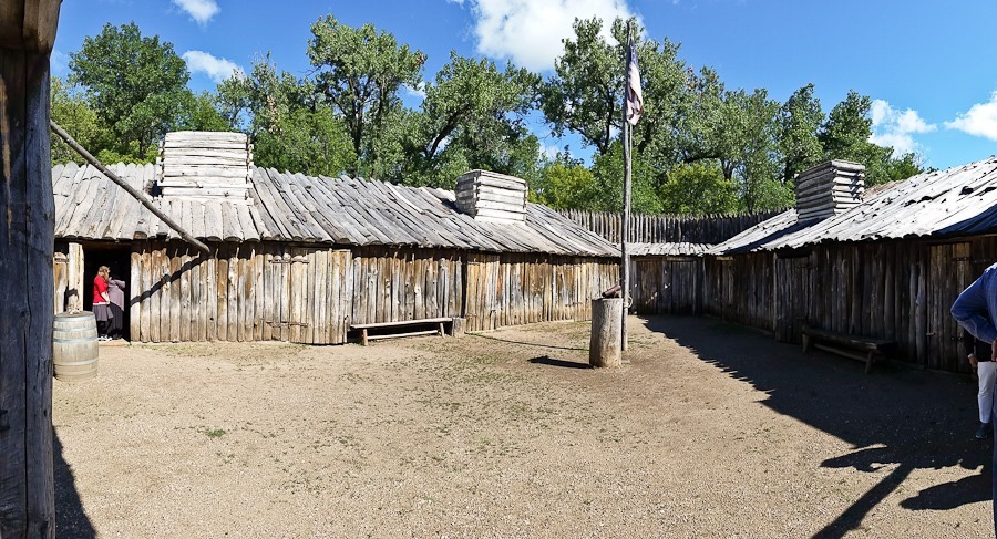
We visited nearby Fort Mandan, where Lewis and Clark wintered in 1804-1805 before continuing west.  The original fort’s site was submerged with one of the Missouri River’s frequent shifts in channel.  This recreated fort is near the original site:

Summer2017_Day09_020

Summer2017_Day09_021

Summer2017_Day09_022

Summer2017_Day09_023

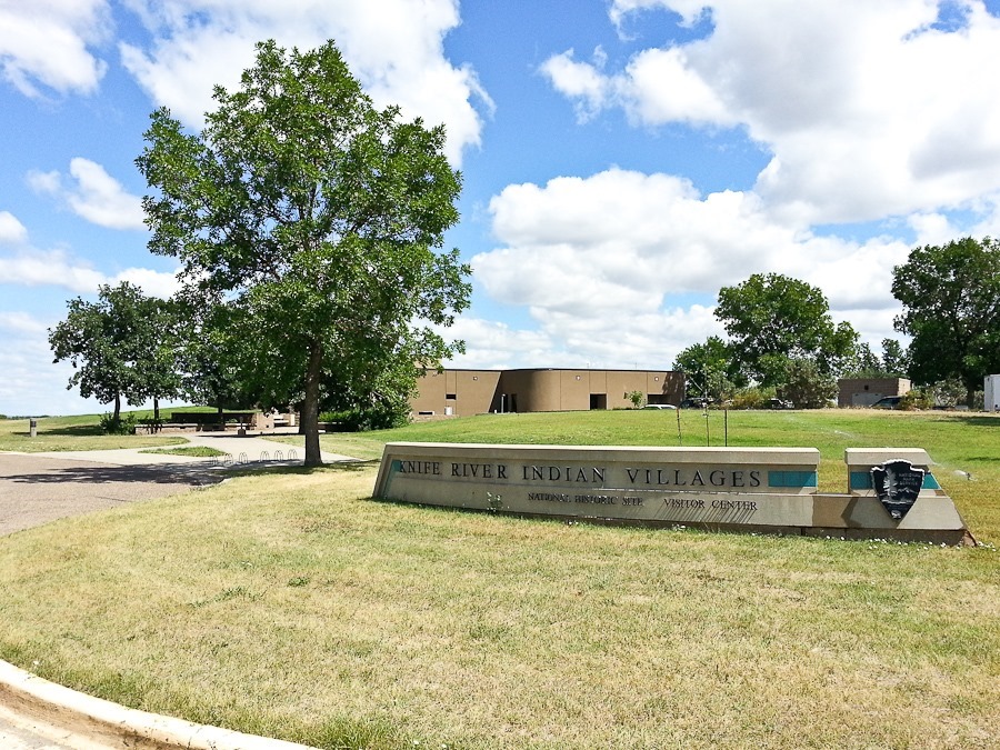
We continued west to Knife River Indian Villages National Historic Site, where Lewis and Clark dropped off Sacagawea on their way back from the Pacific Coast:
Summer2017_Day09_024

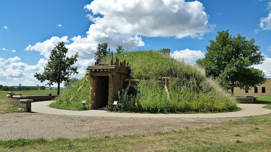
A recreated Hidatsa earth lodge:

Summer2017_Day09_025

Summer2017_Day09_026

Summer2017_Day09_027

The visitor center included this Bull boat

Summer2017_Day09_028

Summer2017_JR_Badge_009

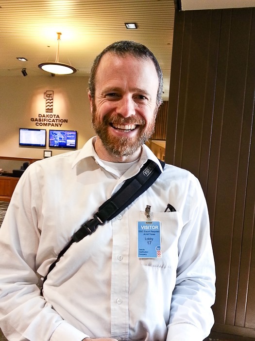
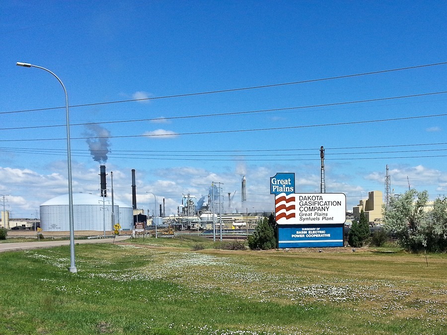
We continued west for a plant tour of the Great Plains Synfuels plant:
Summer2017_Day09_029

Summer2017_Day09_030

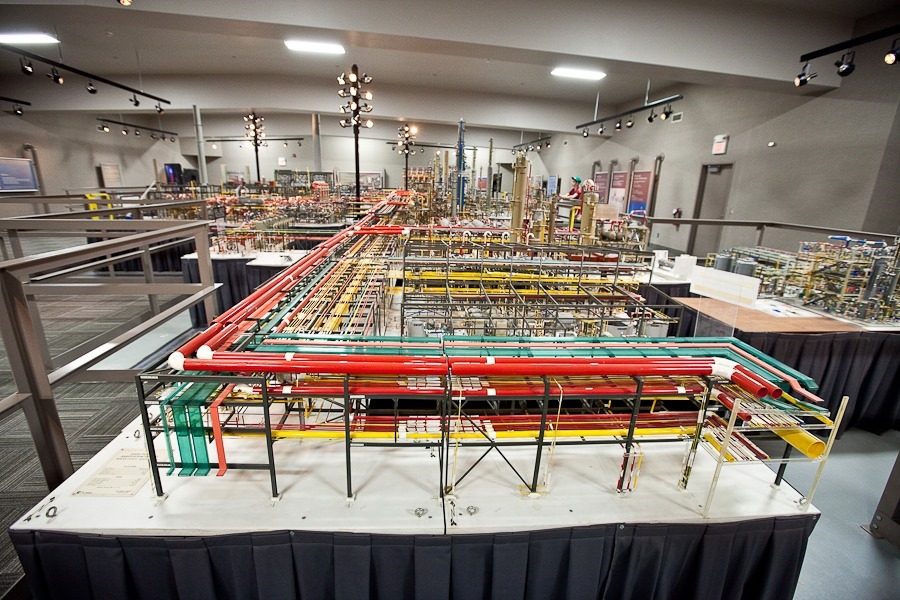
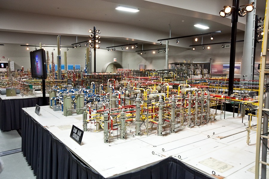
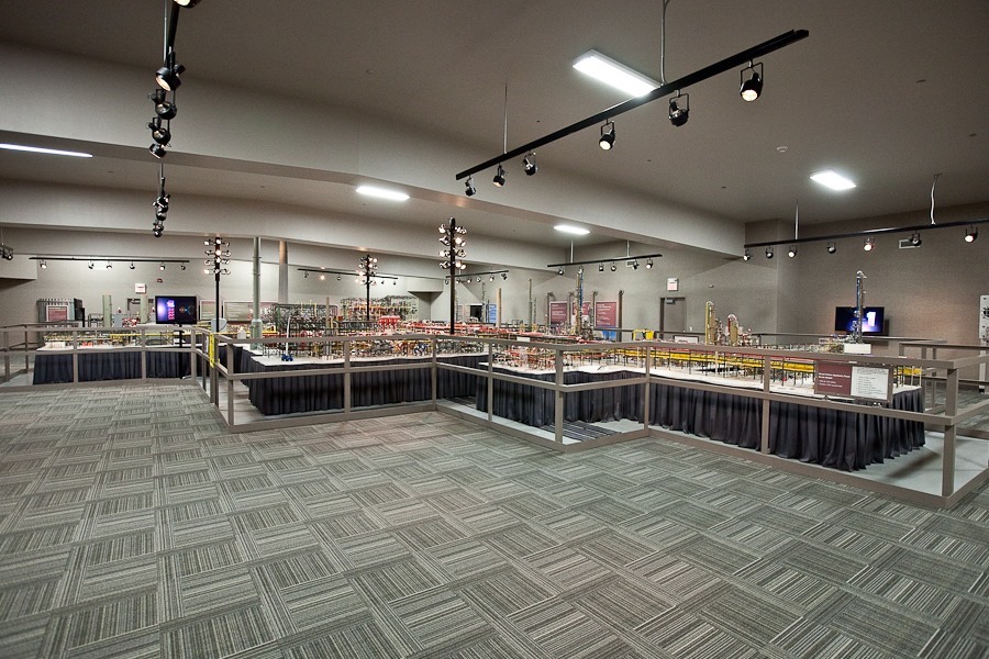
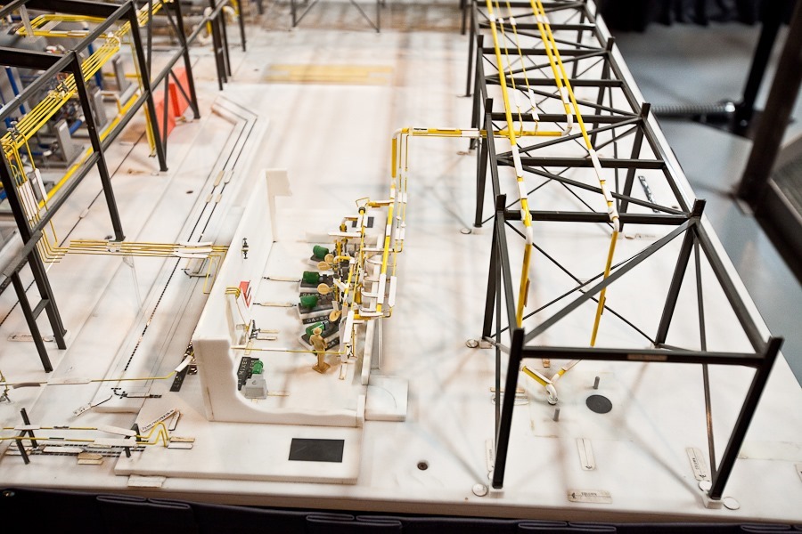
After viewing a video about the coal gasification process, which breaks down coal into simpler compounds which are then reconstituted into an array of useful fuels and products, we viewed the 1:32 scale model of the plant that was used to build the actual plant.  The model covers 1200 square feet and was built by eight engineers over two years at a cost of eight million dollars:

Summer2017_Day09_031

Summer2017_Day09_032

Summer2017_Day09_033

Note the plant employee in the control room:
Summer2017_Day09_036

Summer2017_Day09_037

Summer2017_Day09_038

Summer2017_Day09_039

Summer2017_Day09_040

Summer2017_Day09_041

The tour was fascinating!  Outside, the actual plant:

Summer2017_Day09_042

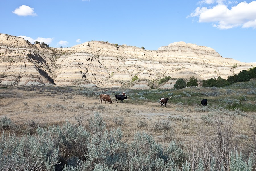
We continued west to visit the northern unit of Theodore Roosevelt National Park, which preserves a portion of North Dakota’s badlands in an area which shaped the pro-conservation attitudes of then-rancher Teddy Roosevelt.  The visitor center was closed, so we left the RV in the parking lot and drove the scenic drive out into the badlands:

Summer2017_Day09_043

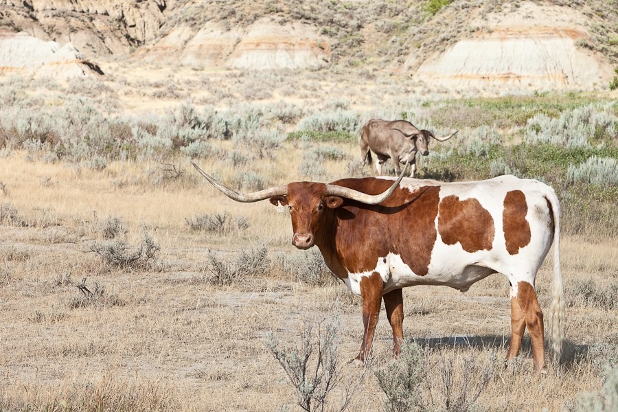
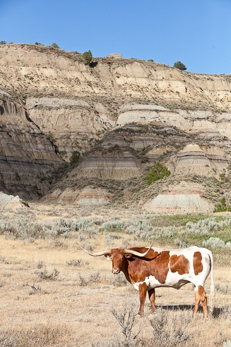
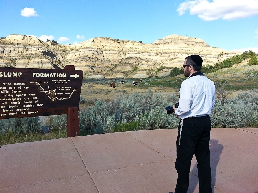
Longhorn cattle were reintroduced here to recreate the landscape as Teddy Roosevelt experienced it when he owned a ranch in this area:
Summer2017_Day09_044

Summer2017_Day09_045

Summer2017_Day09_046

Summer2017_Day09_047

Summer2017_Day09_048

Great views from the overlooks:

Summer2017_Day09_049

Summer2017_Day09_050

Summer2017_Day09_051

Summer2017_Day09_052

Summer2017_Day09_053

Summer2017_Day09_054

Summer2017_Day09_055

Summer2017_Day09_056

I love the wide-open vistas of the American West:

Summer2017_Day09_057

Bison in the distance:

Summer2017_Day09_058

Summer2017_Day09_059

Summer2017_Day09_060

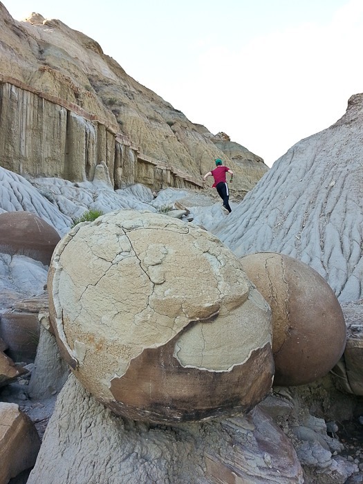
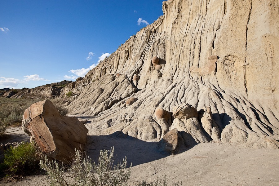
This area of the park has the largest concretions we’ve ever seen, much larger than the Moki Marbles we saw in Utah:

Summer2017_Day09_061

Summer2017_Day09_062

Summer2017_Day09_063

Summer2017_Day09_064

Huge concretions!

Summer2017_Day09_065

Summer2017_Day09_066

Summer2017_Day09_067

Summer2017_Day09_068

Summer2017_Day09_069

Summer2017_Day09_070

We left the park, briefly driving south:

Summer2017_Day09_071

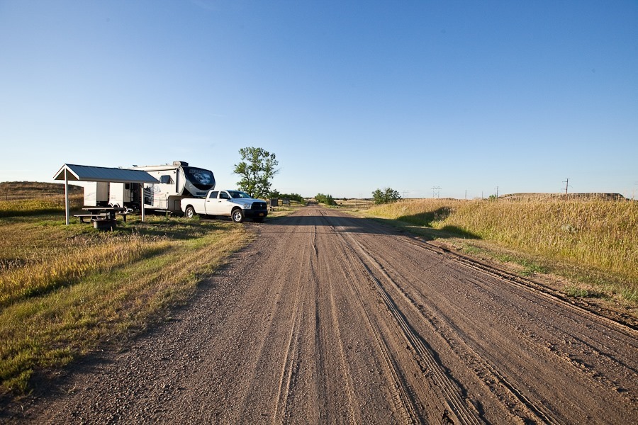
A few minutes later, we arrived at the Forest Service’s Summit Campground, which now operates as a dispersed camping location:
Summer2017_Day09_072

This campground is not very well known:

Summer2017_Day09_073

Summer2017_Day09_074

Summer2017_Day09_075

Summer2017_Day09_076

Falafel for dinner:

Summer2017_Day09_077

Summer2017_Day09_078

Summer2017_Day09_079

Good night from west-central North Dakota!  See the alternating light blue line on the trip map for today’s drive.

Summer 2017, Day 8: Ronald Reagan Minuteman Missile SHS

We’re back to our RVing tradition of great breakfasts:

Summer2017_Day08_001

We packed up to head out.  B made a poster for her cousin:

Summer2017_Day08_003

Ready to go:

Summer2017_Day08_004

Saying goodbye to my parents:

Summer2017_Day08_005

Summer2017_Day08_006

We drove north and west into North Dakota.  It’s the first time the four of us have visited the state, our 48th state.  Only Kentucky remains:

Summer2017_Day08_008

We got off the freeway and passed through fields of sunflowers:

Summer2017_Day08_009

Summer2017_Day08_010

We arrived at Ronald Reagan Minuteman Missile State Historic Site:

Summer2017_Day08_011

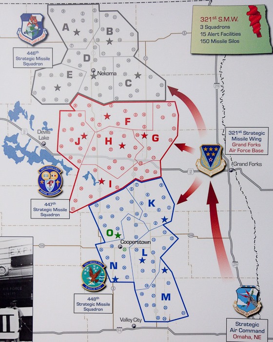
The Minuteman Missile is a nuclear ICBM still in use by the US Air Force.  The facilities in this area were dismantled as part of the Strategic Arms Reduction Treaty in the early 90s.  Each missile alert facility controlled ten launch facilities dispersed throughout the countryside.  The only facilities remaining are the Oscar-Zero Missile Alert Facility and the nearby November-33 Launch Facility.  The map below shows the location of the two remaining facilities in green:

Summer2017_Day08_040

The launch facility is little more than an underground missile silo surrounded by a chain link fence.  The Missile Alert Facility which we visited is composed of an above-ground support building and an underground facility composed of a machine room and a control room in which two Air Force officers were always ready to direct their ten silos to launch:

Summer2017_Day08_041

Our tour began in the above-ground structure, which provided housing for the facility’s manager, cook, and security team:

Summer2017_Day08_012

Summer2017_Day08_013

Summer2017_Day08_014

Summer2017_Day08_015

Summer2017_Day08_016

Summer2017_Day08_017

Summer2017_Day08_018

This is the guard room, from which the main gate was watched.  The red doughnut is made of concrete with a coffee can in the center.  When visitors checked in their firearms, they would be unloaded and test fired into the can to insure the weapon did not have a round chambered:

Summer2017_Day08_020

Modem and RS232 interface for the weather station.  Ah, the good old days:

Summer2017_Day08_019

This escape ladder allows personnel to travel between the underground and above-ground facilities should the elevator fail:

Summer2017_Day08_021

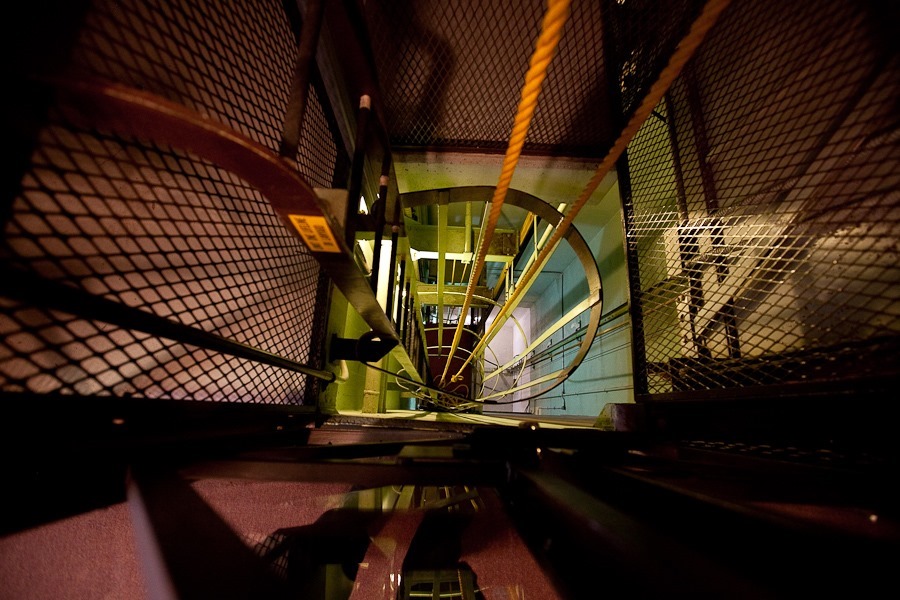
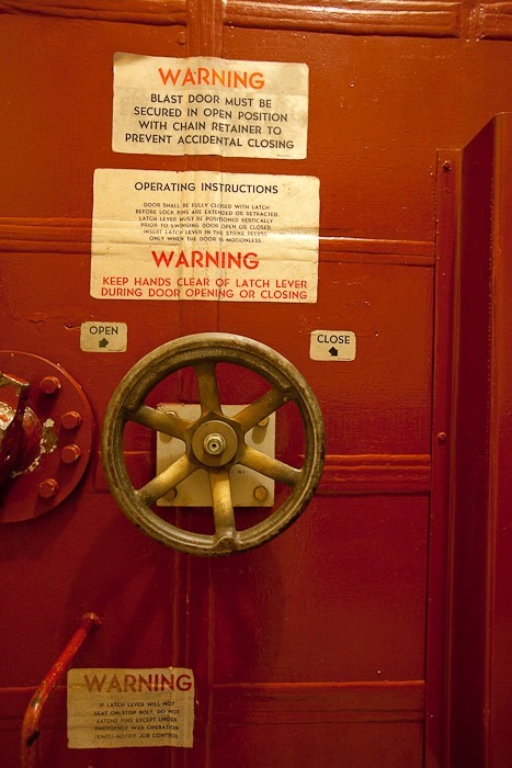
Thankfully the elevator did work, and we took it 60 feet down to the underground complex, which is composed of a pair of spherical reinforced structures, each with a massive door.  The machine room was to the right:

Summer2017_Day08_022

The missile control room was to the left:

Summer2017_Day08_023

Summer2017_Day08_024

We checked out the machine room first:

Summer2017_Day08_025

Summer2017_Day08_026

The equipment room floor is suspended from the walls by a suspension system designed to allow the equipment to survive the shock of a nearby nuclear attack:

Summer2017_Day08_027

Summer2017_Day08_028

When the facility was decommissioned, the departing personnel signed the wall:

Summer2017_Day08_029

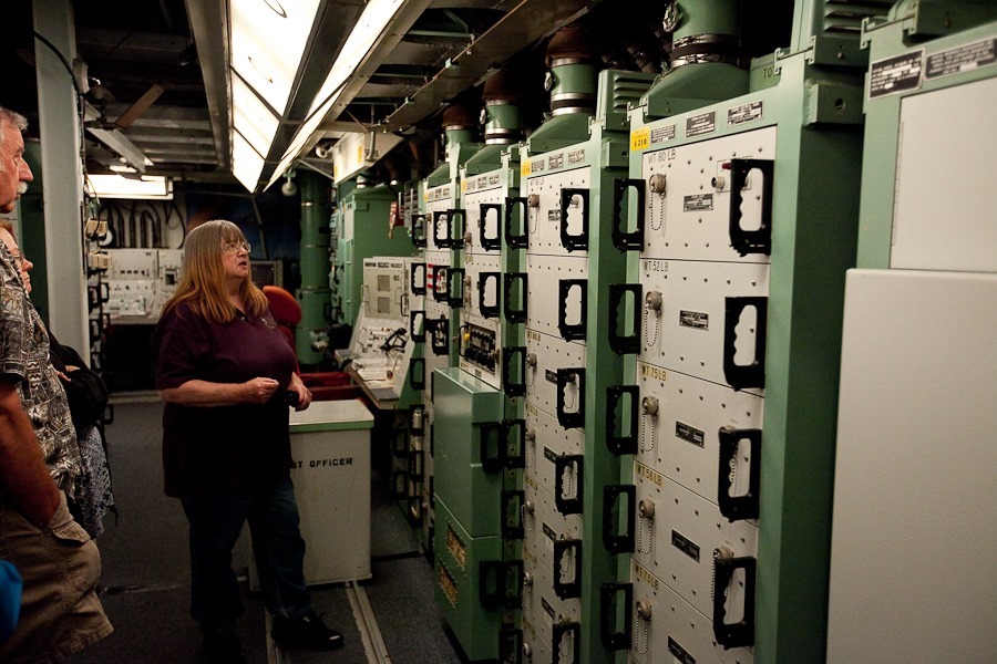
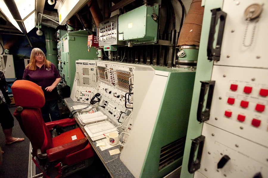
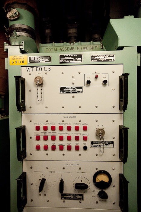
We next toured the control room from where the missiles would be launched:

Summer2017_Day08_030

Summer2017_Day08_031

Summer2017_Day08_032

Summer2017_Day08_033

Summer2017_Day08_034

The key that launches the missiles:

Summer2017_Day08_035

From this chair, civilization could be destroyed with the turn of a key:

Summer2017_Day08_036

Summer2017_Day08_037

One of the two Air Force officers would sleep here while the other waited for the launch command:

Summer2017_Day08_038

Summer2017_Day08_039

We left the historic site and continued west and south.  Late afternoon brought a magical light:

Summer2017_Day08_042

Summer2017_Day08_043

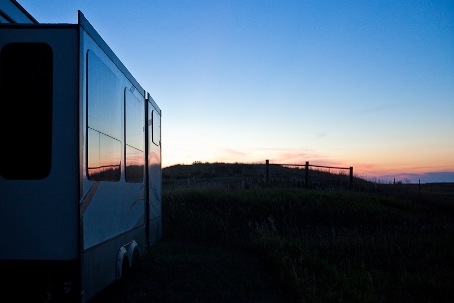
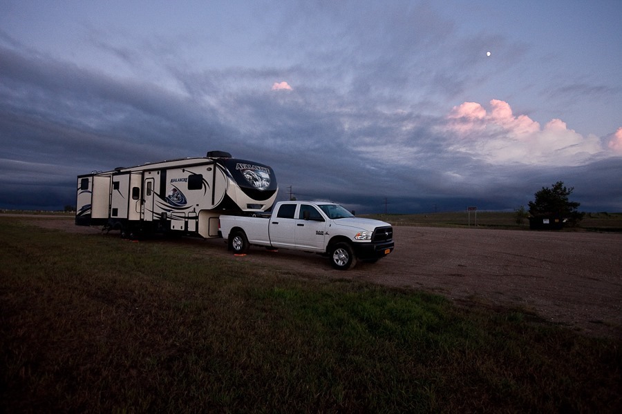
Tonight we’re overnighting at Chain of Lakes Recreation Area.  After getting the RV set up for the night we discovered that we were in the day use area and that there are individual camping areas ringing the lakes here:

Summer2017_Day08_044

We decided to stay put for the night:

Summer2017_Day08_045

See the alternating light blue line on the trip map for today’s drive.