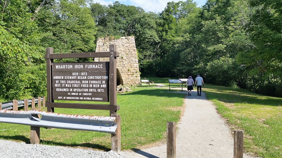
With M and I driving the motorcycles, and B riding with me, we visited a local iron furnace. The furnace was similar to the one at Saugus Iron Works National Historic Site:
It was here that then-Colonel George Washington was defeated and surrendered his fort after starting the French and Indian War at Jumonville Glen a month earlier:
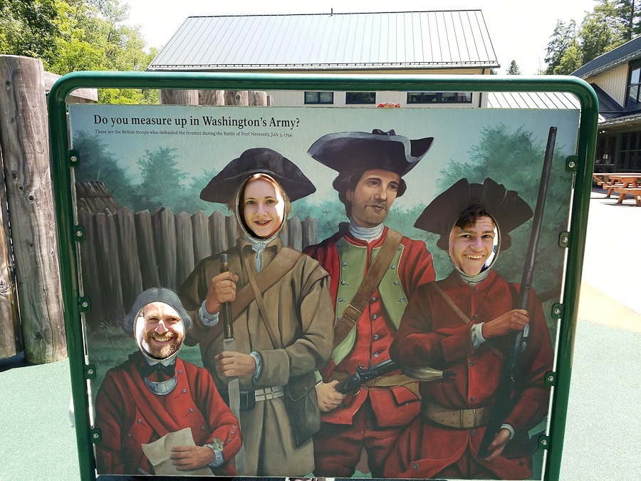
Looking embarrassed:
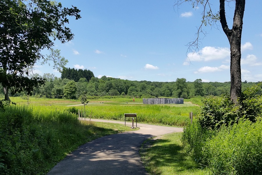
We walked down to the fort:
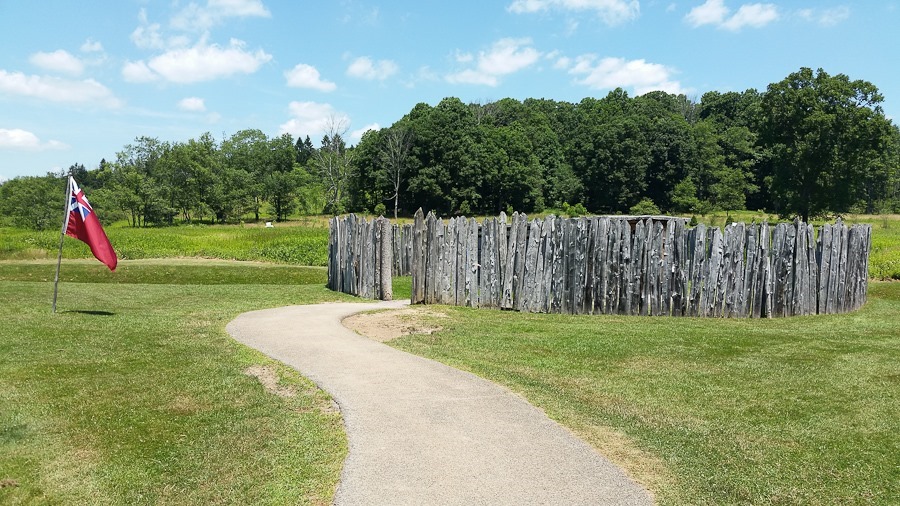
The fort was hastily built, so there’s not much to it:
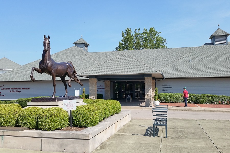
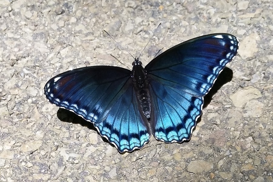
We saw this fancy fellow on the sidewalk:
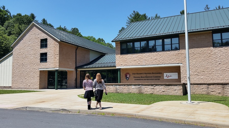
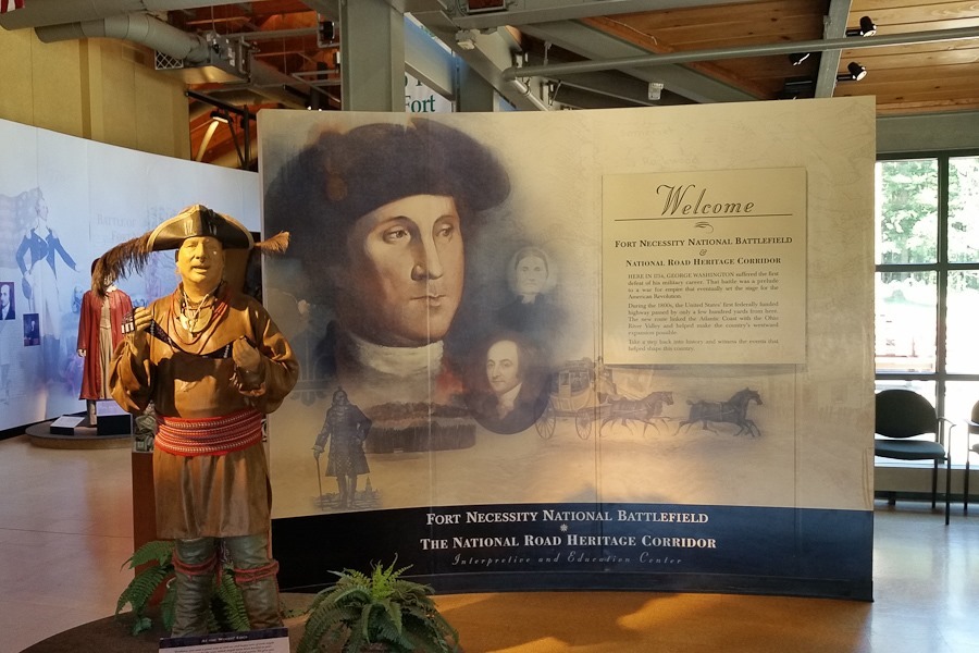
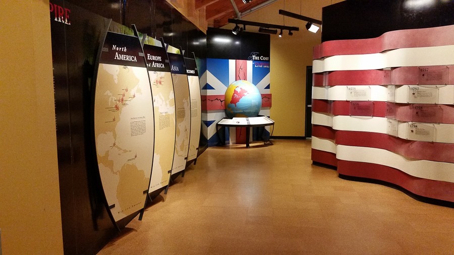
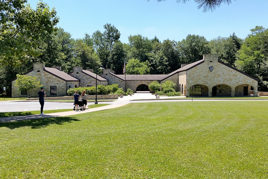
The visitor center placed the battle of Fort Necessity in its historical context:
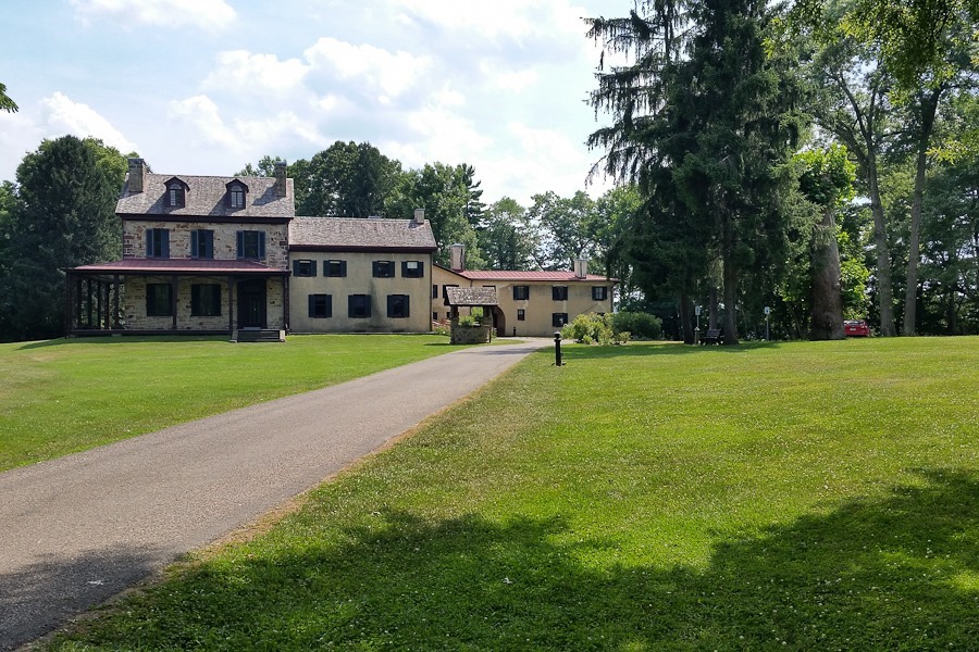
During the war, Washington built a road through the area for moving troops and supplies. 50 years later, Albert Gallatin would use Washington’s road as a portion of the National Road. It was an interesting tie-in to our next stop, Friendship Hill National Historic Site, the home of Albert Gallatin:
Gallatin was a Congressman, Secretary of the Treasury, and US Ambassador to Great Britian and France, among many other accomplishments.
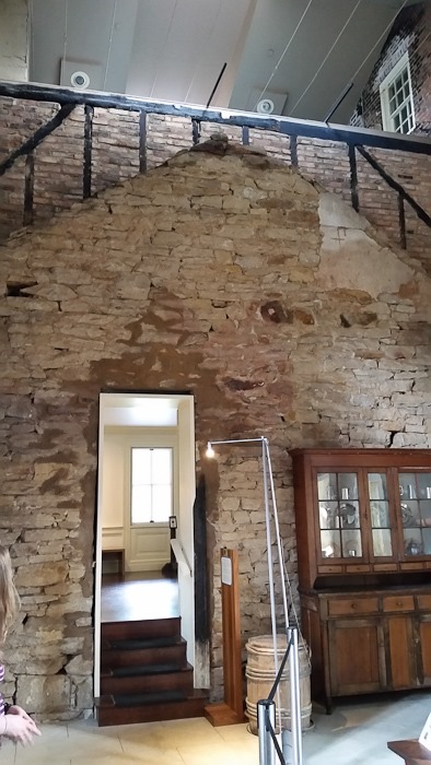
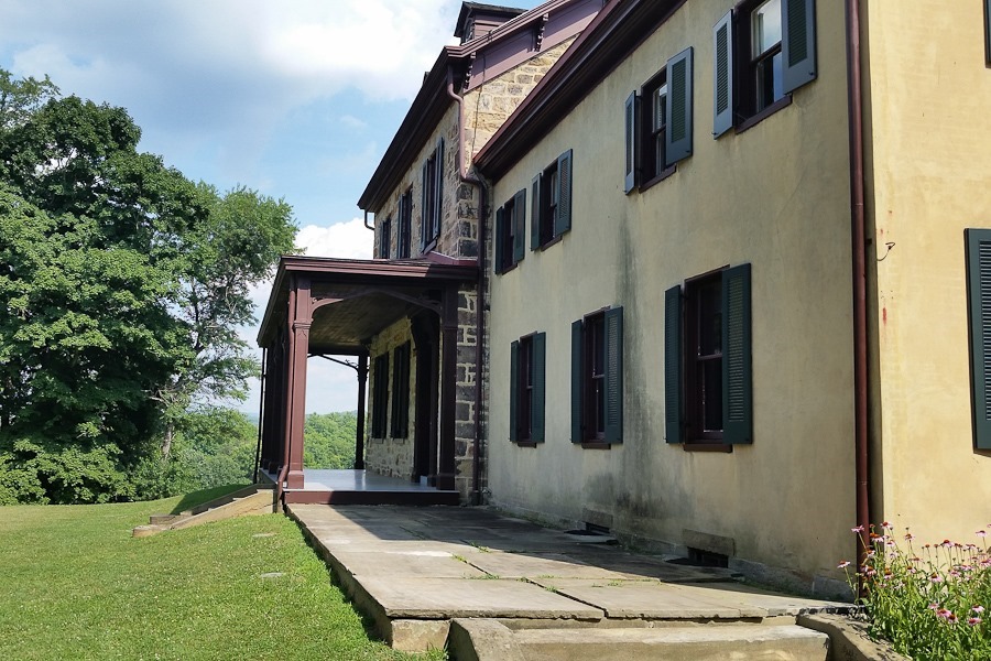
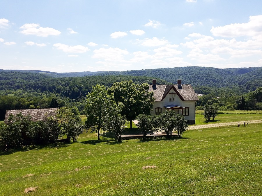
The house was burned by arson before becoming a National Park Service site. The new roof line shows the location of the old roof lines of the various additions to the home:
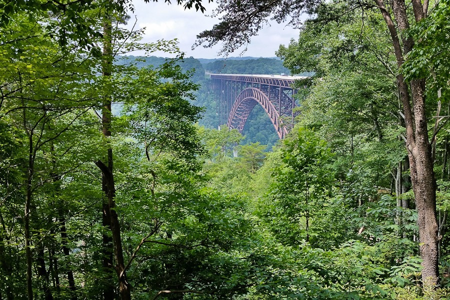
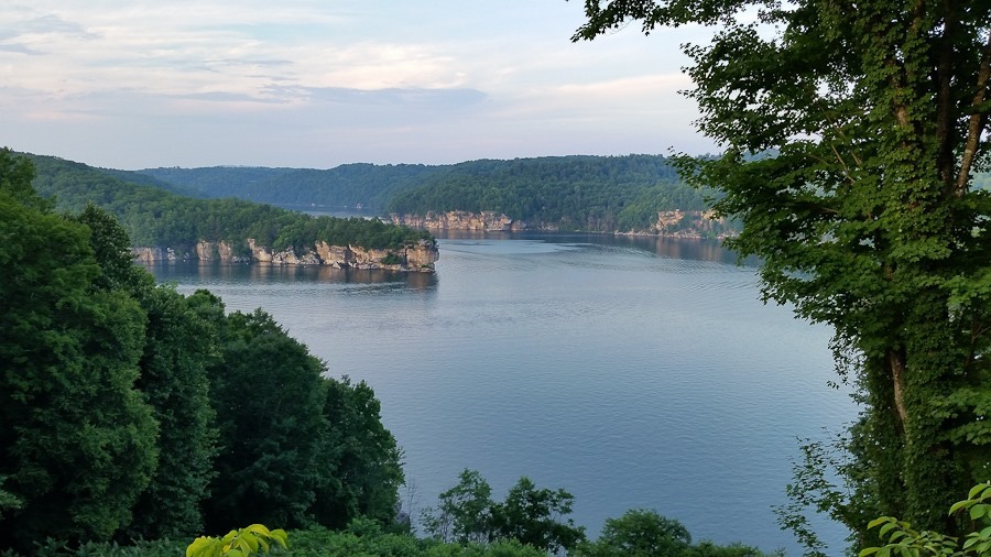
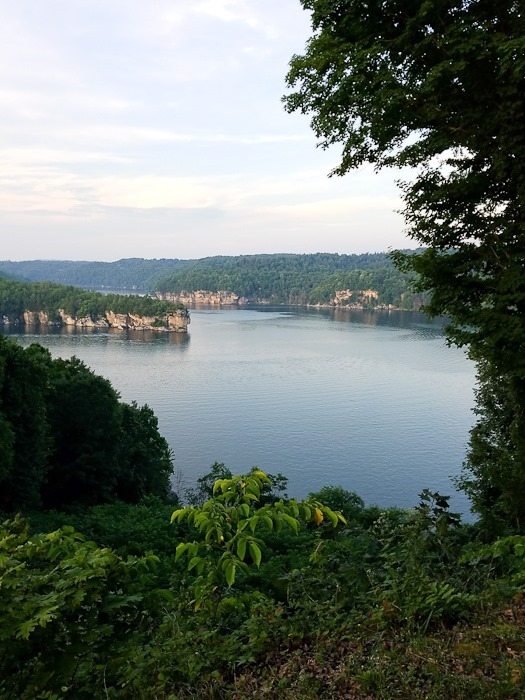
We continued south to a dispersed camping location at the foot of the Summersville Lake dam, but it turned out to be more like a homeless camp, so we continued south, but first stopped at an overlook for the lake:
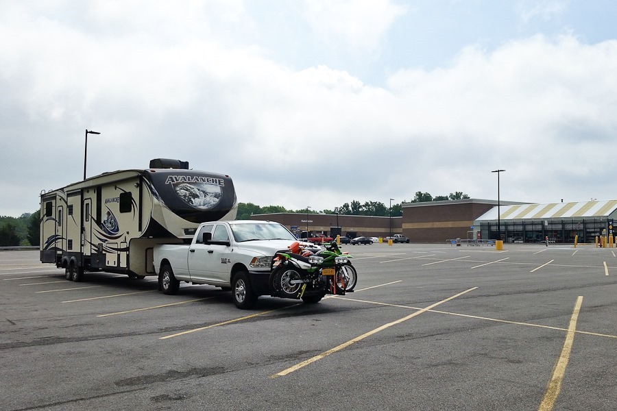
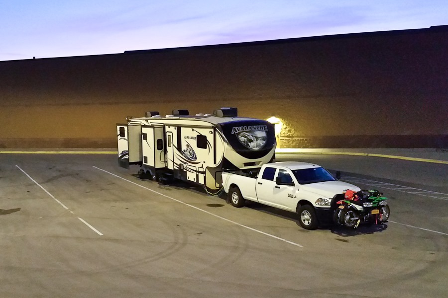
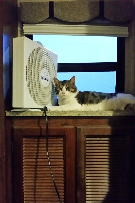
We’re overnighting at the Walmart of Fayetteville, West Virginia. It’s pretty warm here:
See the alternating yellow line in the trip map for today’s drive.
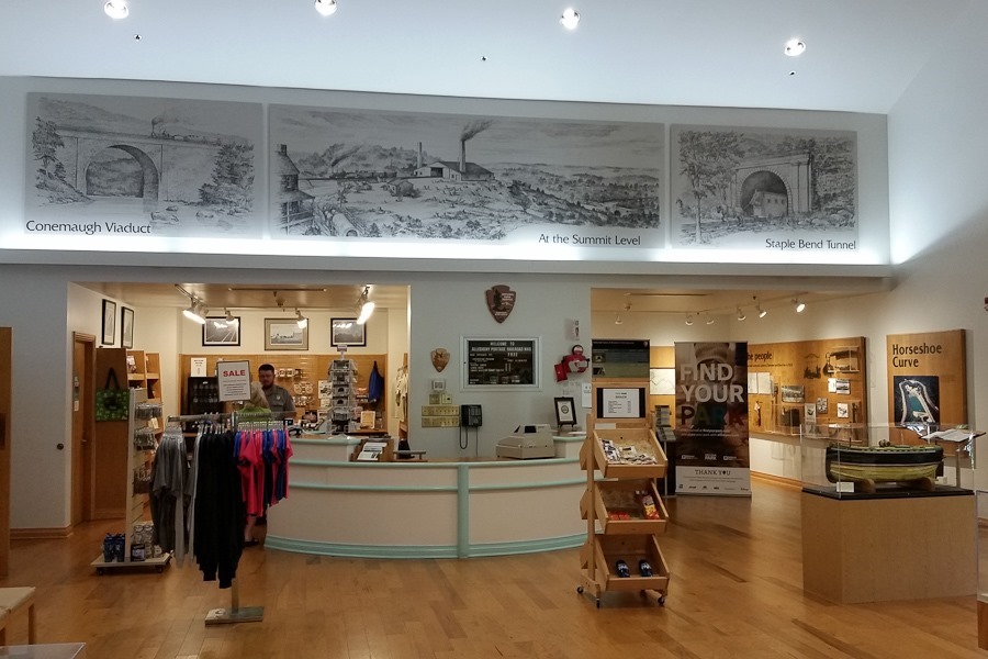
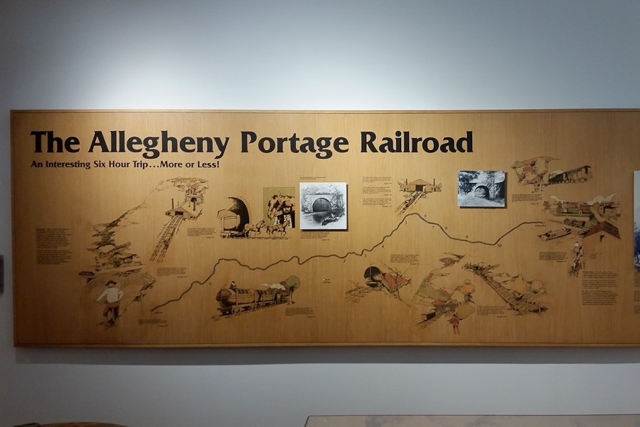
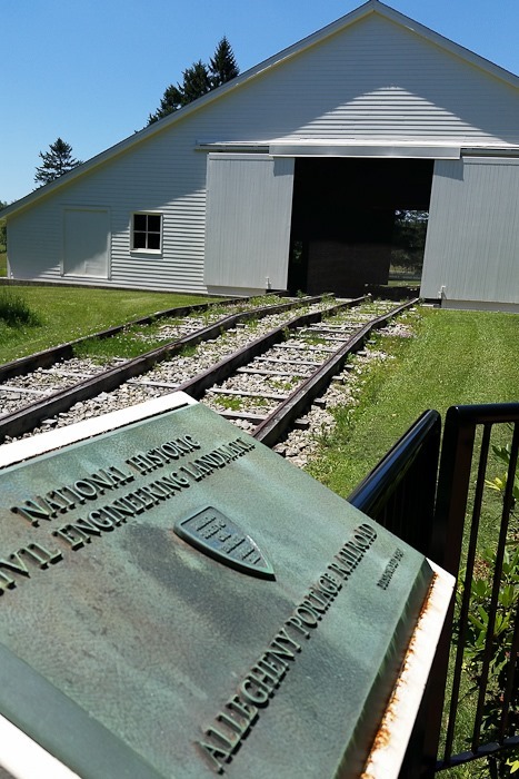
The site preserves a section of the Allegheny Portage railroad, a series of inclined planes used to pull barges floated to one side of the Allegheny Mountains up and over the mountains to the canal on the other side.
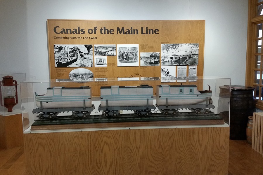
This model shows how the barges were divided into sections and loaded onto railcars:
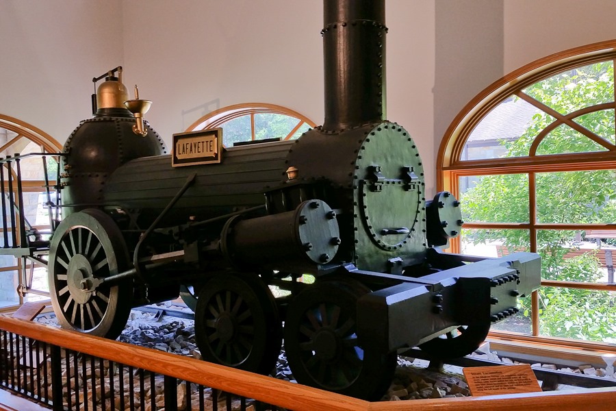
For flat sections between the inclined planes, engines like this pulled the railcars:
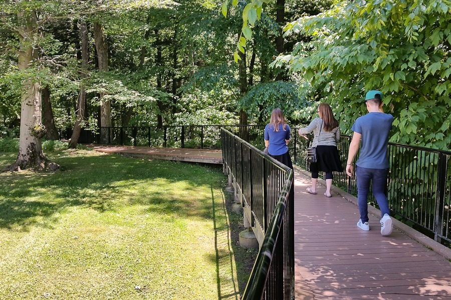
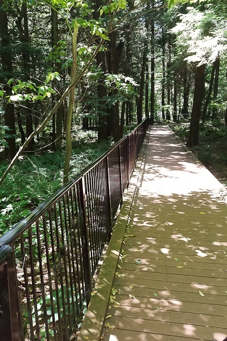
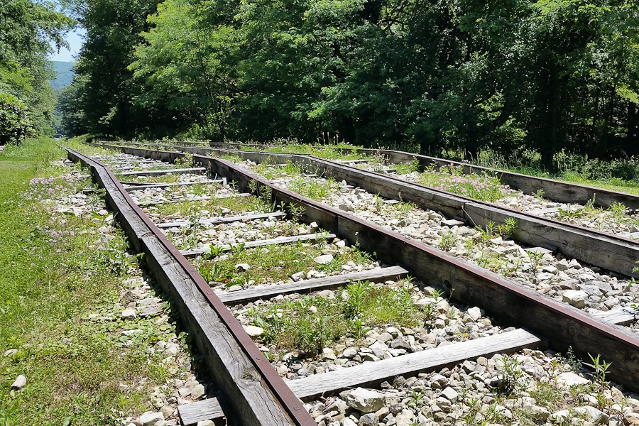
We walked down to the railroad:
This building housed the steam engine used to pull the railcars up the inclined plane:
Looking down the hill:
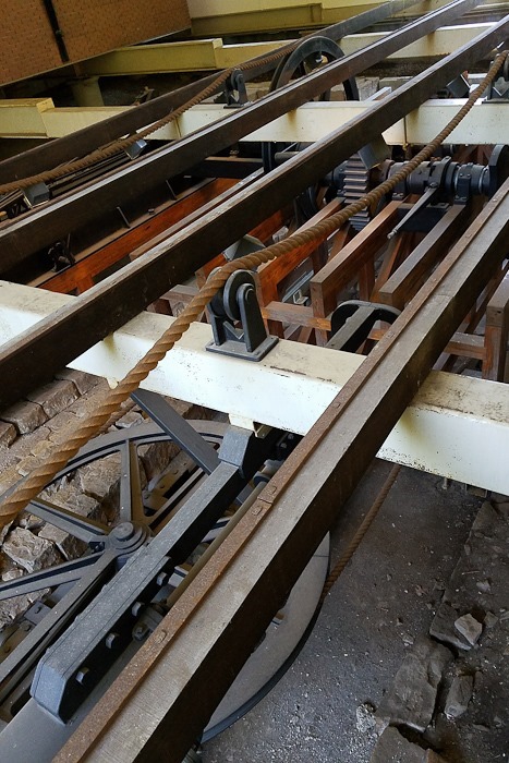
The works in the building:
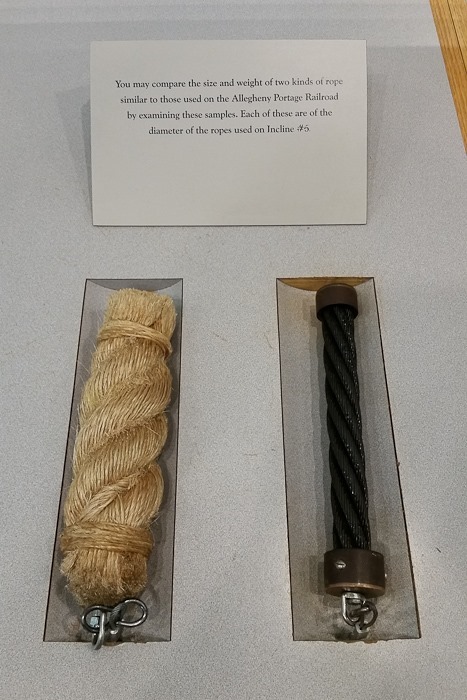
Initially hemp ropes were used, then replaced by steel cables, adapted from the construction of the Brooklyn Bridge:
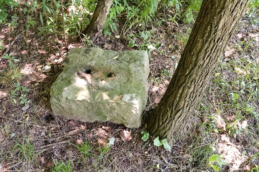
These blocks were used to anchor the railroad ties:
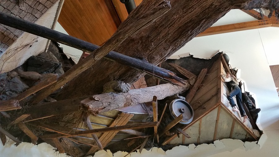
The site is located near the South Fork Dam, which failed on May 31st, 1889. The raging waters flooded the town of Johnstown, 14 miles downstream, and killed over 2,200 people. The visitor center’s main room recreates the wall of debris that pushed through the town:
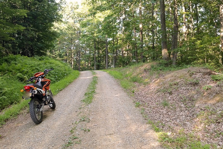
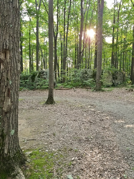
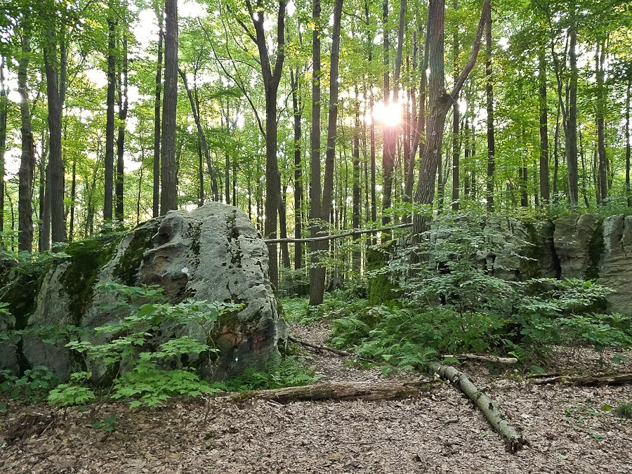
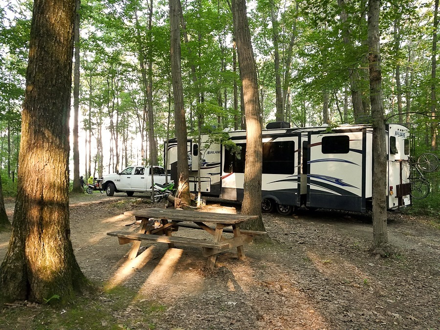
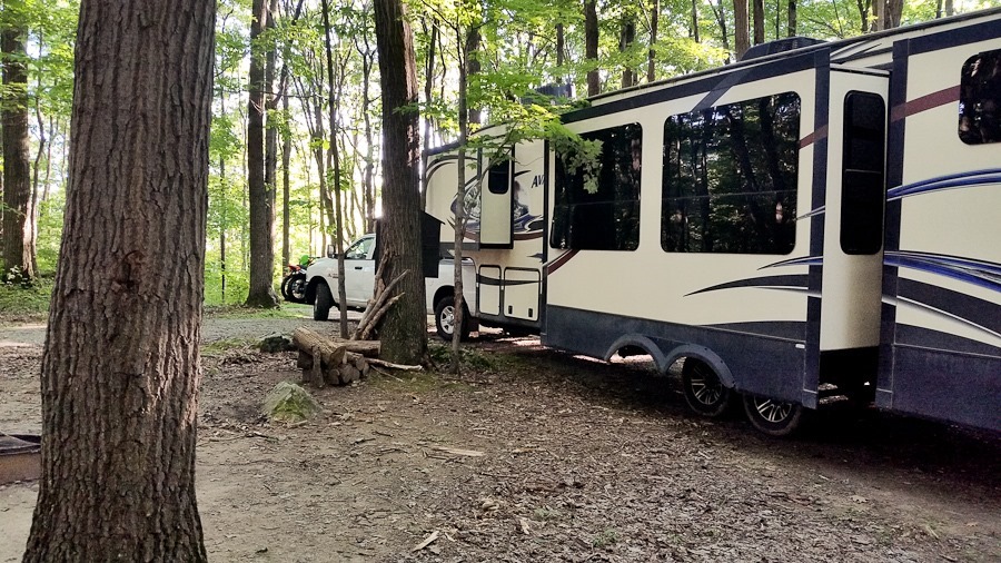
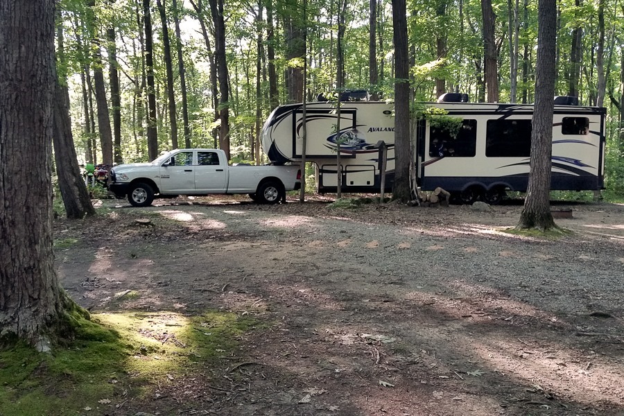
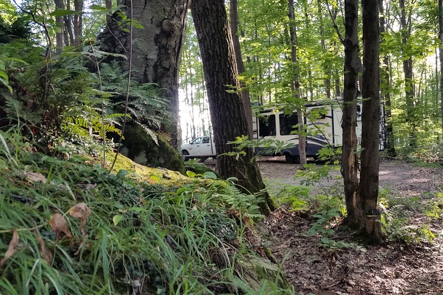
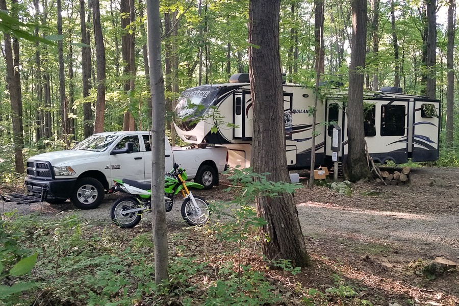
Our overnight location is a dispersed camping location near Wharton Furnace, PA. The gravel road leading to the site is so steep that we had to switch into 4WD-LOW to get here:
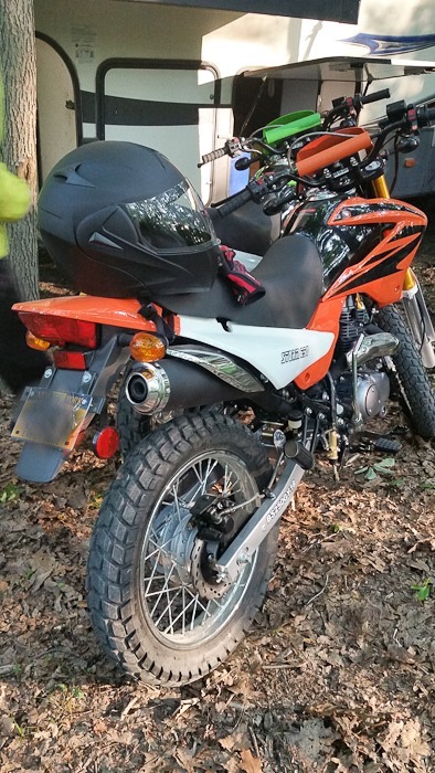
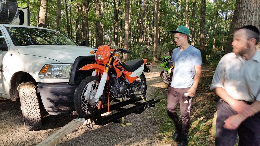
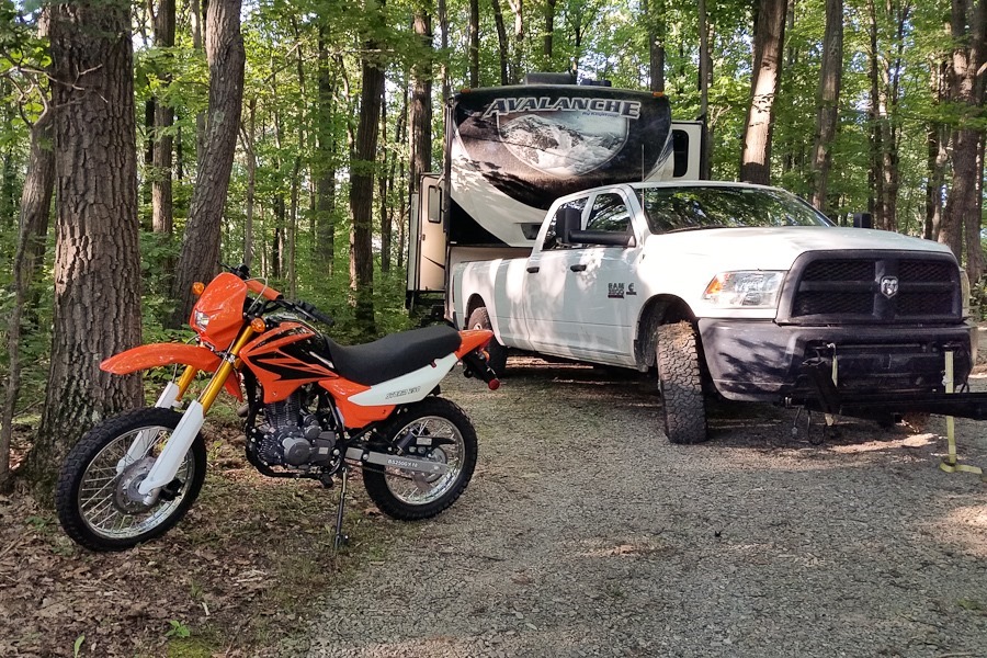
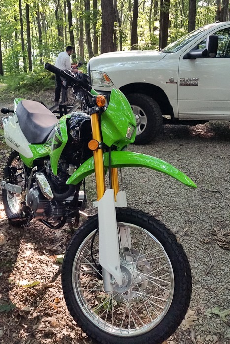
We unloaded the motorcycles:
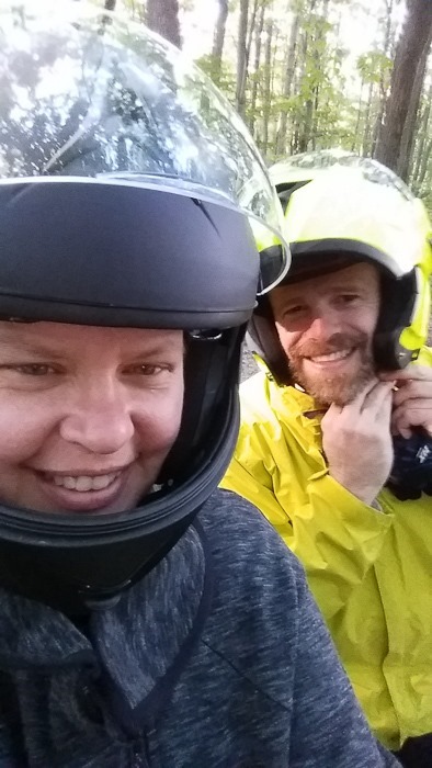
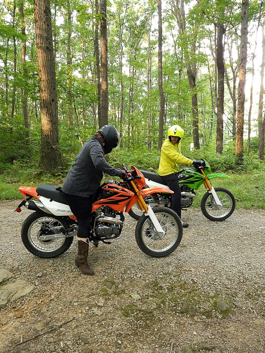
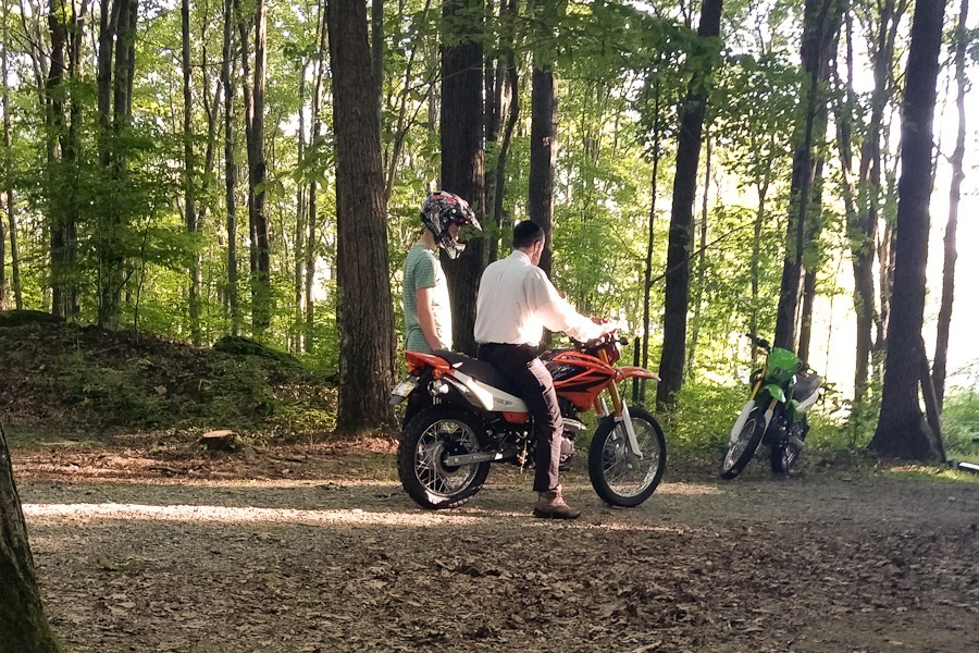
M and I went for our first ride:
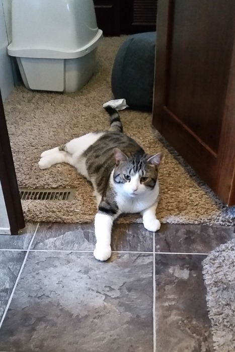
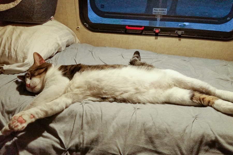
It’s pretty warm up here, even Oreo is suffering:
See the alternating yellow line on the trip map for today’s drive.



 Facebook
 Instagram
 Email
Email