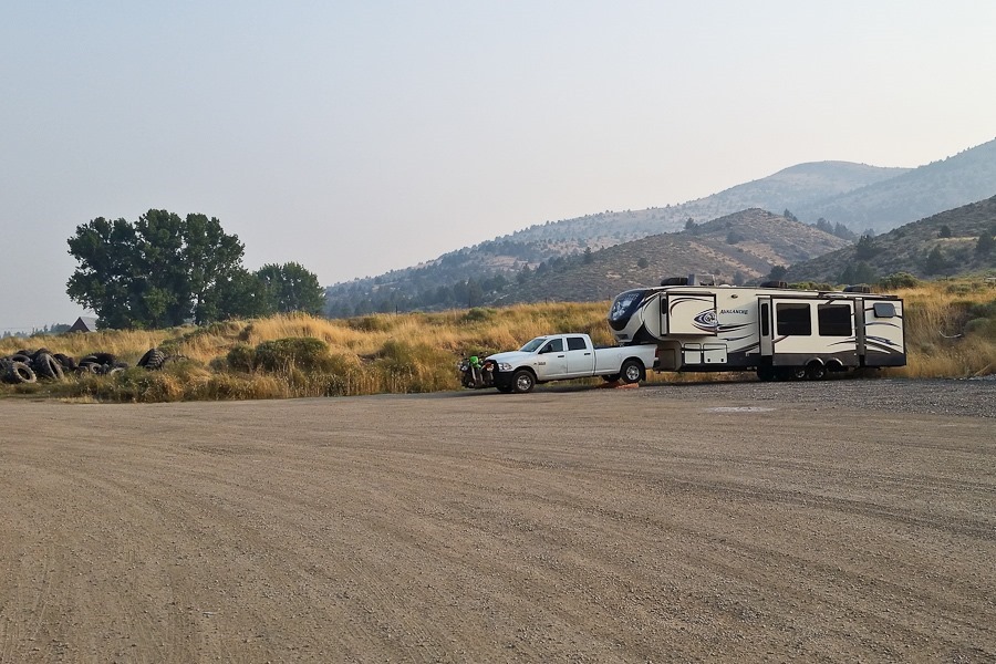
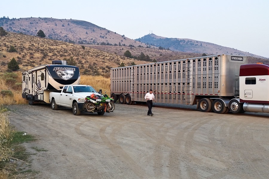
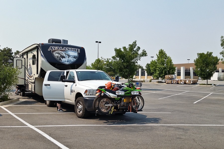
Yesterday, we intended to continue on past Fairview, but we discovered at this gas station that the RV has a broken leaf spring, so we stayed here overnight:
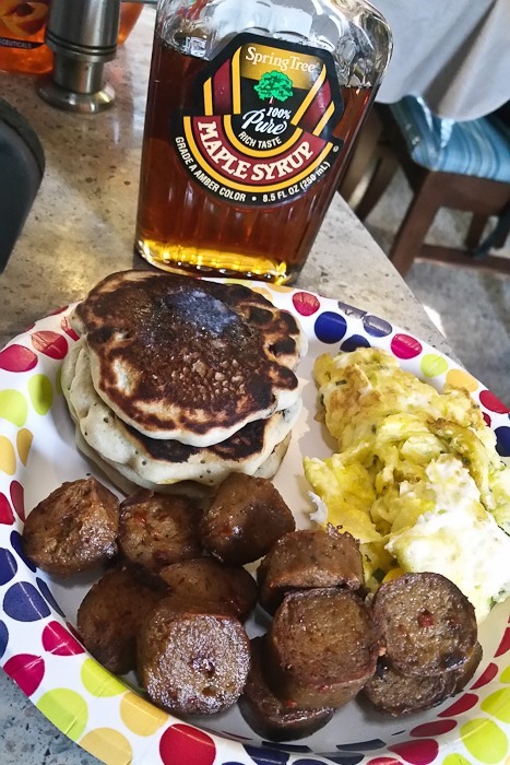
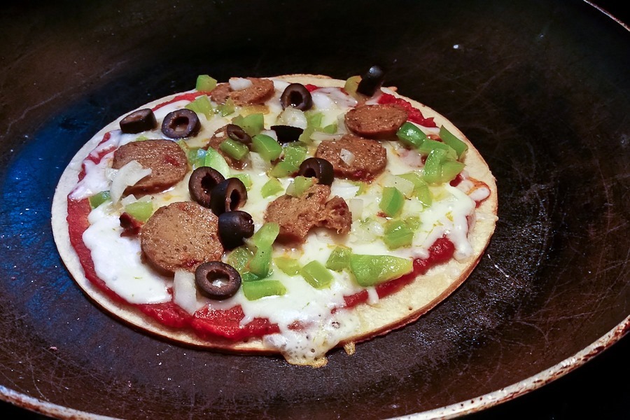
I have to drive about 1.5 hours back to Klammath Falls to buy replacement leaf springs. Might as well have a hearty breakfast:
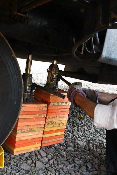
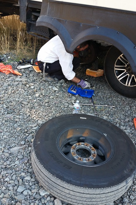
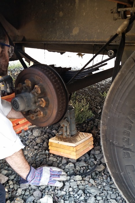
After returning from Klammath Falls, I got to work:
Installing the new spring:
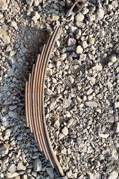
The old spring, with the break at the top:
Ready to go:
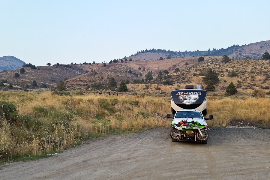
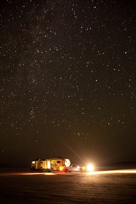
We drove east to overnight at the Alvord Desert, a large dry lake in southeast Oregon. Getting from the road to the lake bad was tricky, but we managed it and got set up around 1:30am:
See the alternating yellow line on the trip map for today’s drive.
Shabbosdispersed camping on the California/Oregon border was peaceful. We went for a walk and turned around when we ran into a bull.
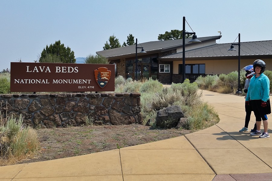
This morning we wanted to visit Lava Beds National Monument. We decided to double up on the motorcycles and drive there.
We decided to explore the Catacombs cave, which we last visited on Day 473:
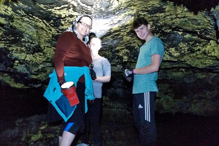
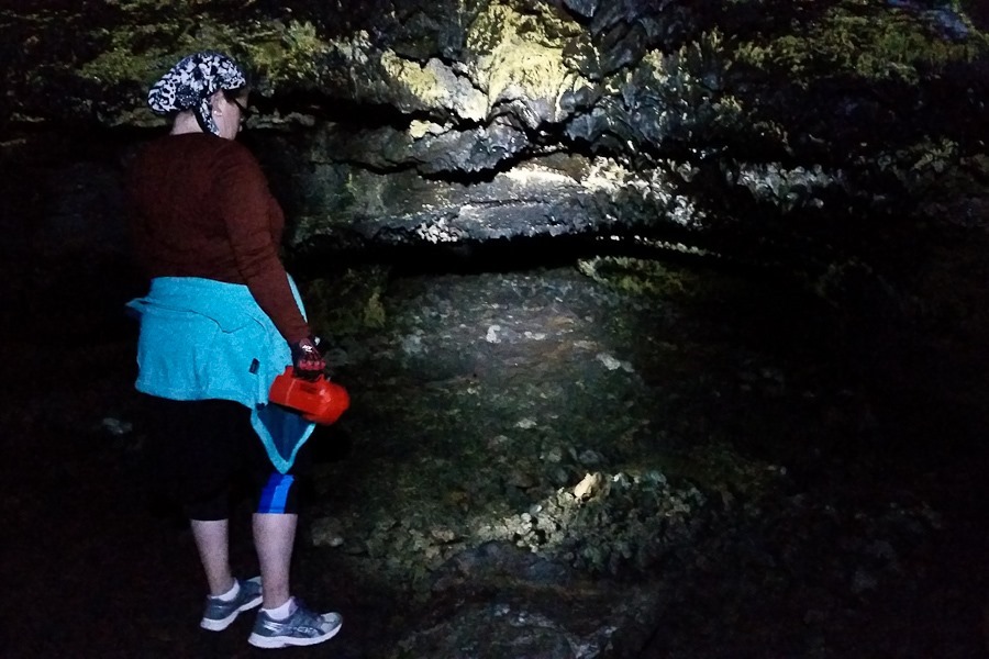
Today we’re exploring a portion of the cave that we didn’t explore the last time:
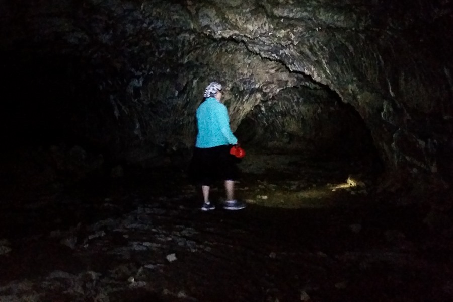
The floor and the ceiling are not mistake friendly:
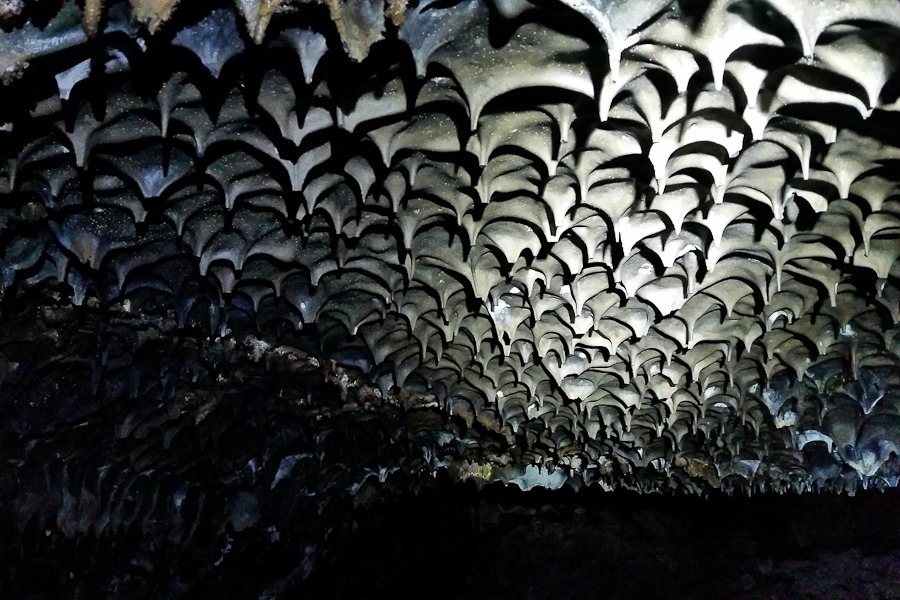
The lava made interesting patterns as it cooled:
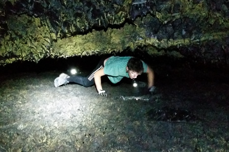
We eventually ran into reduced ceiling clearance:
We arrived at Howard’s Hole:
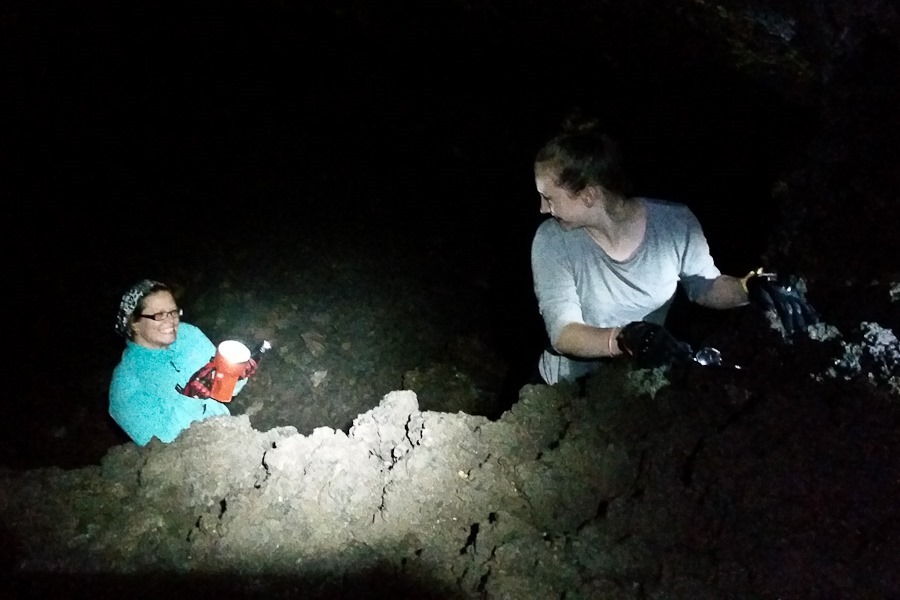
Subsequent lava flows create tunnels at multiple levels. Howard’s Hole is a break between levels, and we used it to explore the next level up:
At some point, B and I continued on. We eventually arrived at “Cleopatra’s Tomb”:
These arrows point to “The Crossover”, a one-foot high passage connecting to the part of the cave we explored last time:
We all cut our heads or backs on the ceiling:
On the way back, we went up a level:
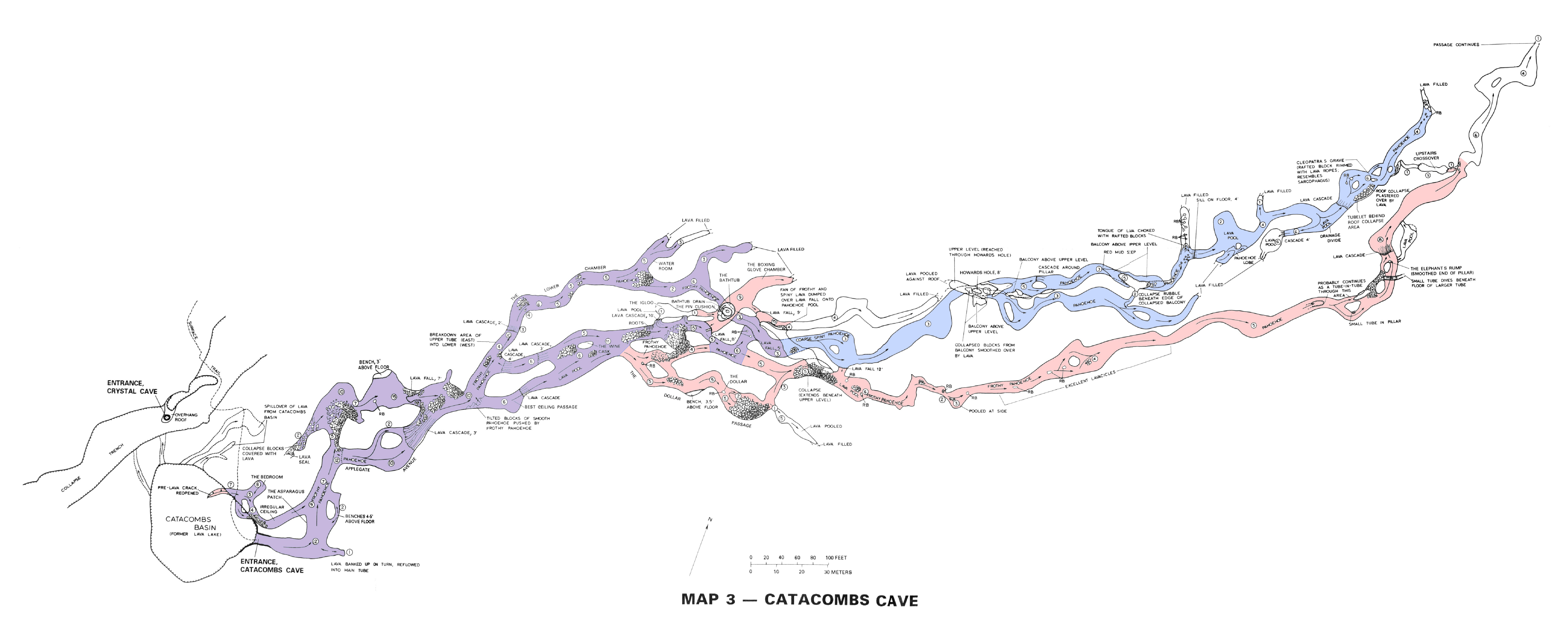
The map shows our last visit in red, our current visit in blue, and the overlap in purple. Click the photo for a larger view:
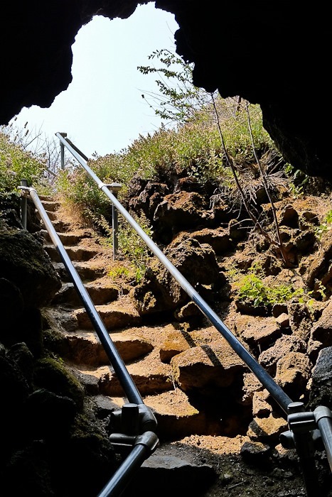
Out we go:
All of this would have been a lava tube had the ceiling not collapsed:
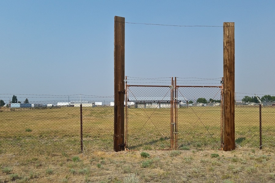
After our spelunking, we motorcycled back to the RV, stowed the motorcycles, and drove north. We stopped to look at what’s left of Tule Lake Segregation Center. Built during World War II in response to the Japanese attack on Pearl Harbor, Tule Lake was one of ten Japanese American internment camps used to imprison over 100,000 US residents of Japanese ancestry, two-thirds of whom were US citizens. This is the fifth internment camp we’ve visited:
It was pretty quiet overnight here at the Walmart of Willows, California. We thought it was snowing, but it was actually raining ash from the Carr Fire:
After a second night at the State campground in Half Moon Bay, it’s time to leave. While waiting for everyone to get ready, I partially disassembled the motorcycles to tighten up some bolts that had vibrated loose. I applied threadlock compound to the bolts, then reassembled the bike:
We said goodbye to the beach:
We drove over to the day use area and unhitched the RV:
I drove up to Pacifica to meet Mark for a tandem flight. Mark flew over to our launch location:
We hitched up to the wing and ran off this cliff:
With no engine, we relied on updrafts from on-shore winds deflecting upwards along the cliffs:
We flew north towards San Francisco:
We had some company:
We flew past the Olympic Club, where my grandfather was a member:
Remnants of the old Route 1:
Thanks Mark, that was amazing!
Meanwhile, back at the RV….
A kitten stopped by to say hello. I found its sibling under the hood of the truck this morning, keeping warm:
I drove the truck south a bit and launched my PPG for flight #120:
Right after I launched, a wall of fog moved in and the temperature dropped dramatically. Since the air mass below the fog was still warm, it began to rise through the colder upper layer, essentially generating thermals. It got a bit bumpy, so I landed:
Views of the beach from the day use area:
We hitched up at sunset and drove north over the Bay Bridge:
We continued north to overnight at the Walmart of Willows, California. See the alternating yellow line on the trip map for today’s drive.
The park is located in a Ford plant used during World War II to outfit tanks. With so many men serving in the military, 50% of the workers here during the war were women:
Point Reyes is on the ocean side of the San Andreas Fault, slowly sliding north relative to the rest of California on the mainland side of the fault. We walked out the the Fault:
This fence shows the location of the fence at this location after the 1906 San Francisco earthquake. The fault slipped, causing the earthquake and displacing the land on either side of the fault:
The blue posts show the location of the fault. It will slip again someday:
We wanted to visit Muir Woods National Monument, but there’s no longer public parking there and all the shuttles were booked for the day.
Turns out this area was built on fill that left many abandoned ship hulls buried under the new land. Before the fill arrived, ship owners sunk their hulls to claim what would become valuable real estate around their ship. Sky scrapers were built on top of these hulls:
We checked out the boats at the pier:
The tug Hercules:
Alcatraz prison:
Inside the tug:
Heading back to the truck:
San Francisco City Hall:
On the way back down the coast to Half Moon Bay, we saw a paraglider free-flying at Pacifica. I texted my PPG instructor Mark, who I knew was nearby, and we visited briefly. He offered to take me for a flight tomorrow, so I’ll be back:














 Facebook
 Instagram
 Email
Email