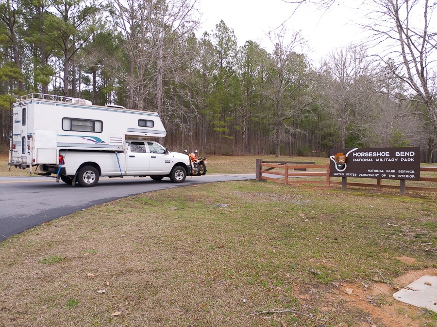
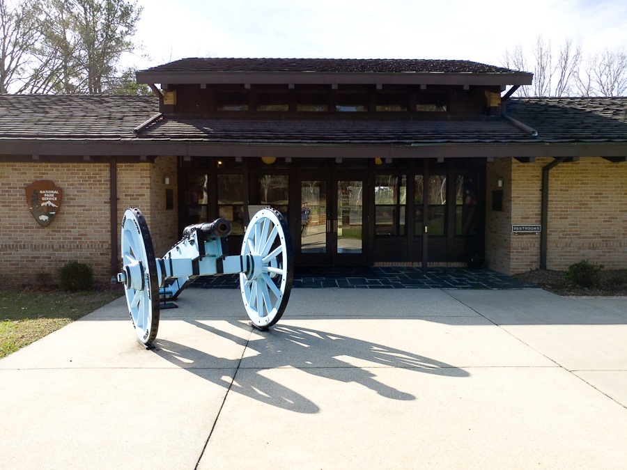
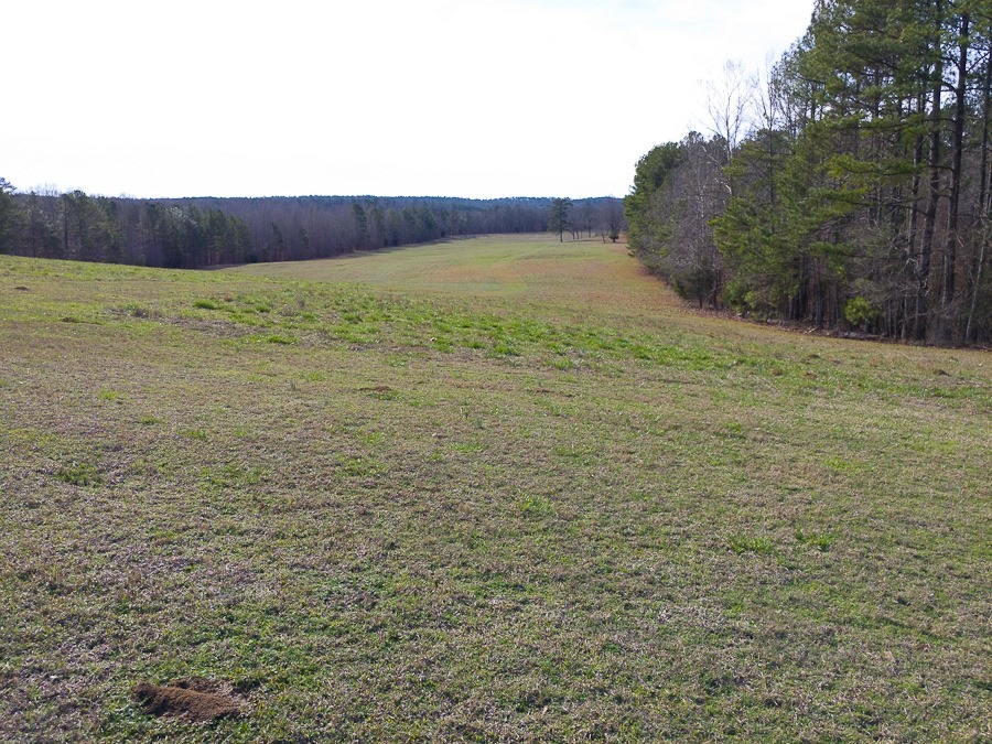
It was here that US forces under Andrew Jackson defeated the Red Stick Indians in 1814, but only after his Native American allies initiated an unauthorized attack on the Red Stick’s rear. The Red Sticks had built a fortification across the neck of this natural bend. US troops advanced from the foreground to the background of the photograph:
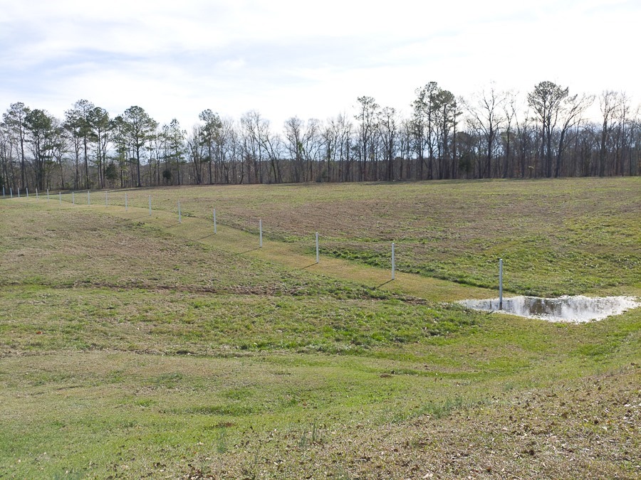
The approximate location of the Red Stick’s fortification:
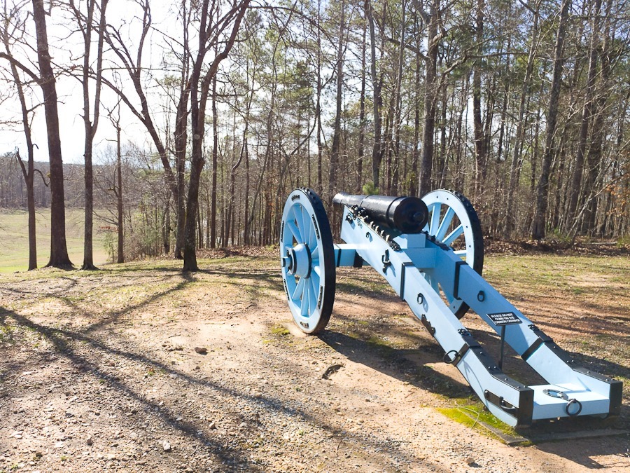
US artillery position:
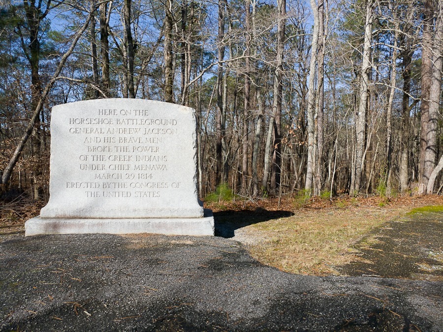
Memorial with incorrect date:
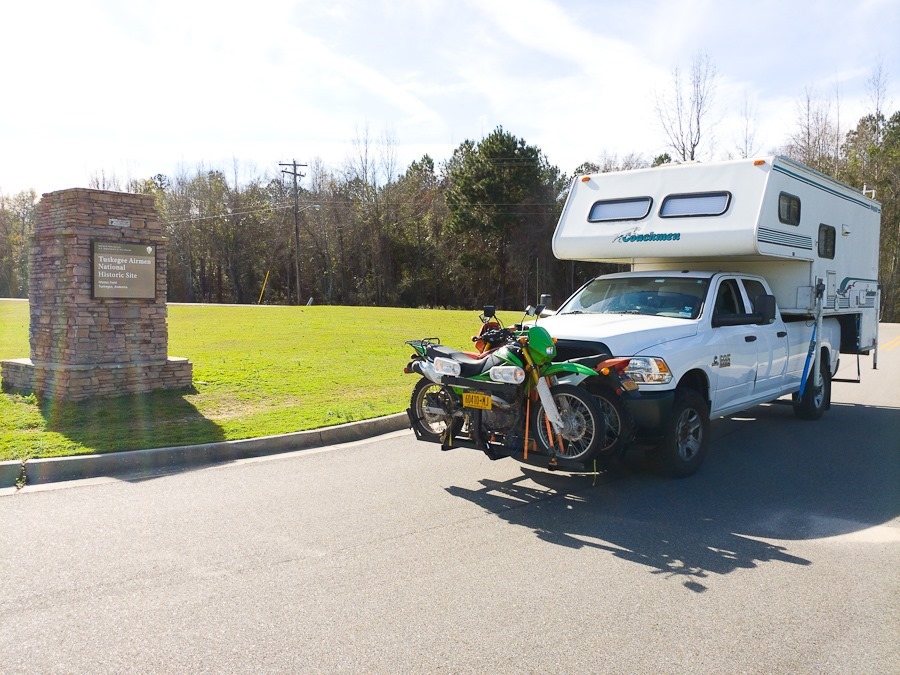
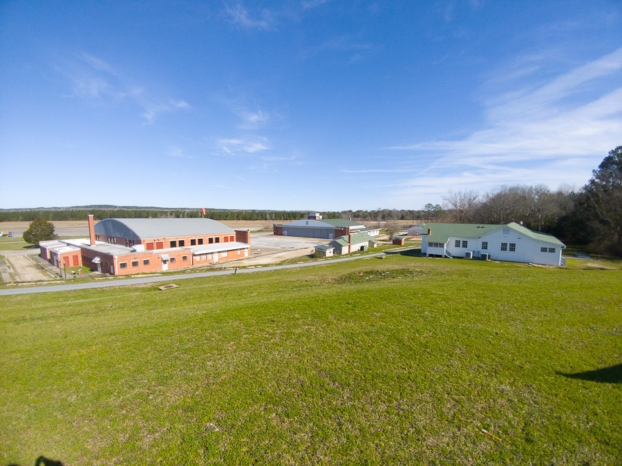
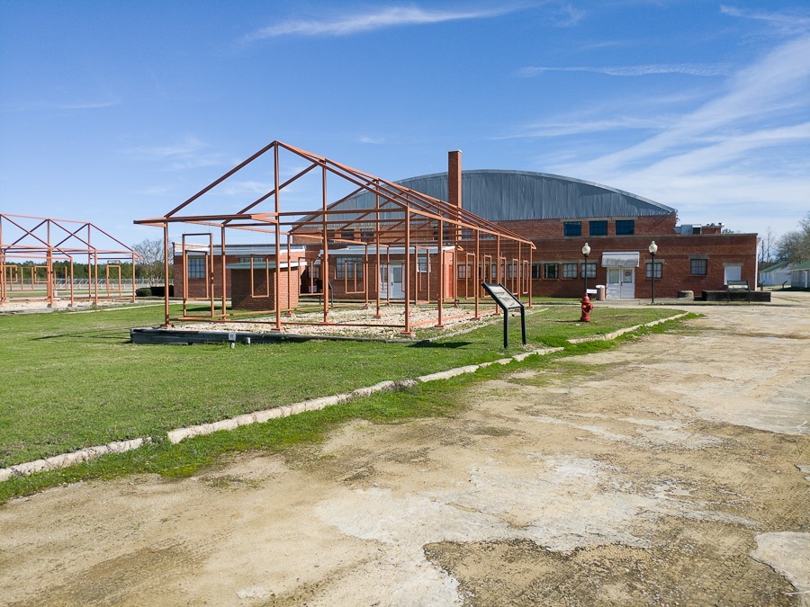
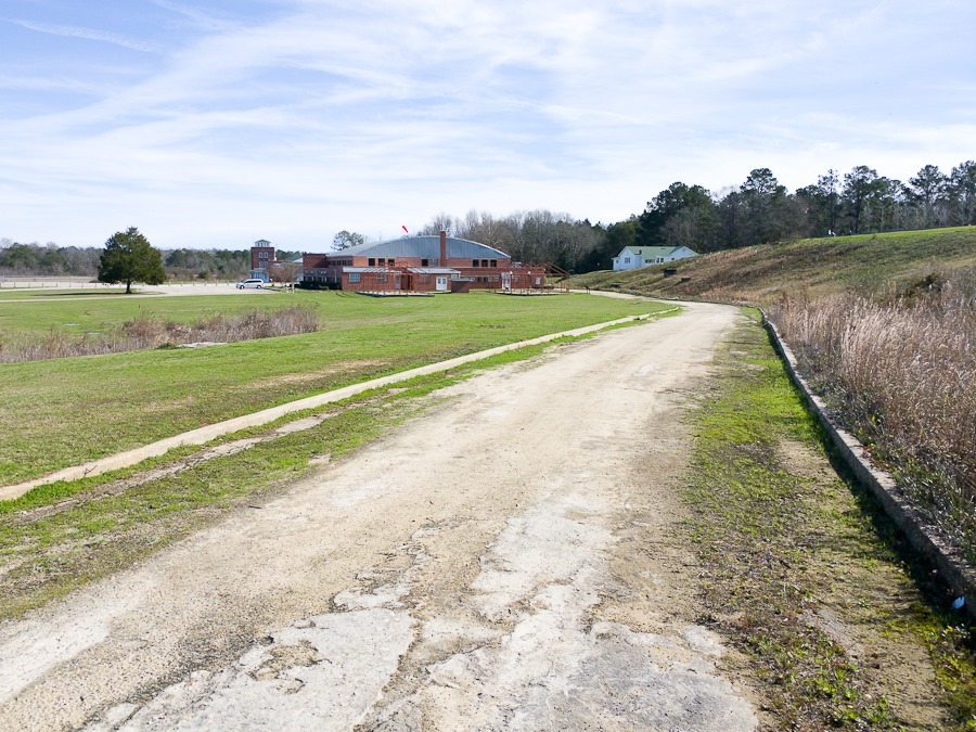
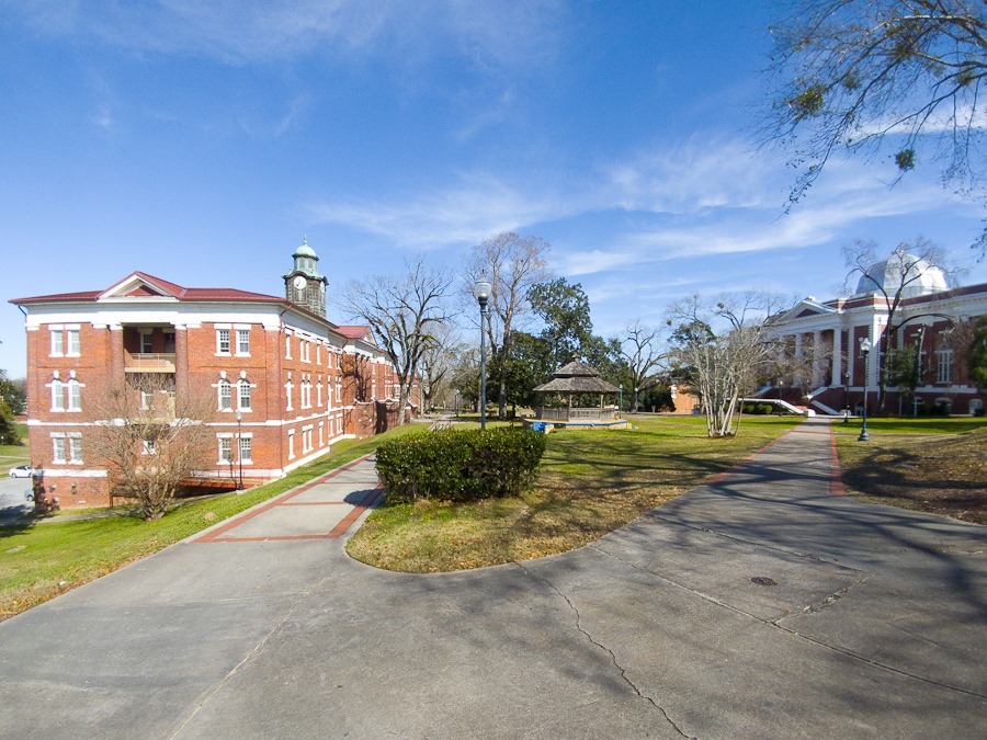
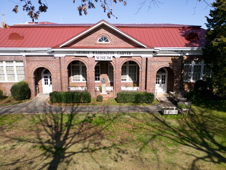
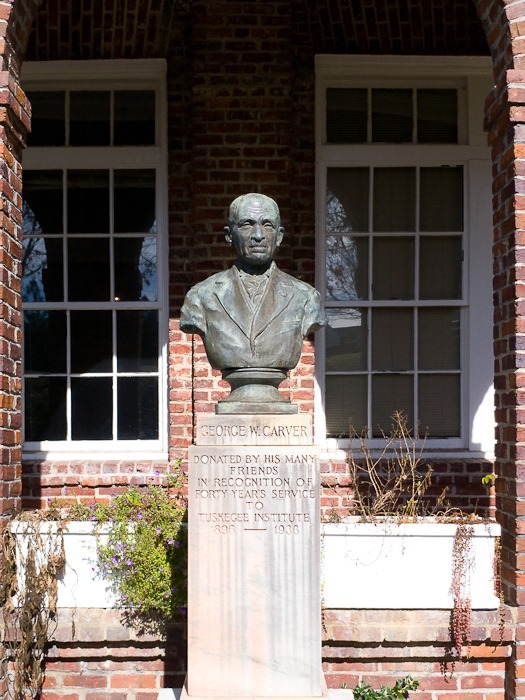
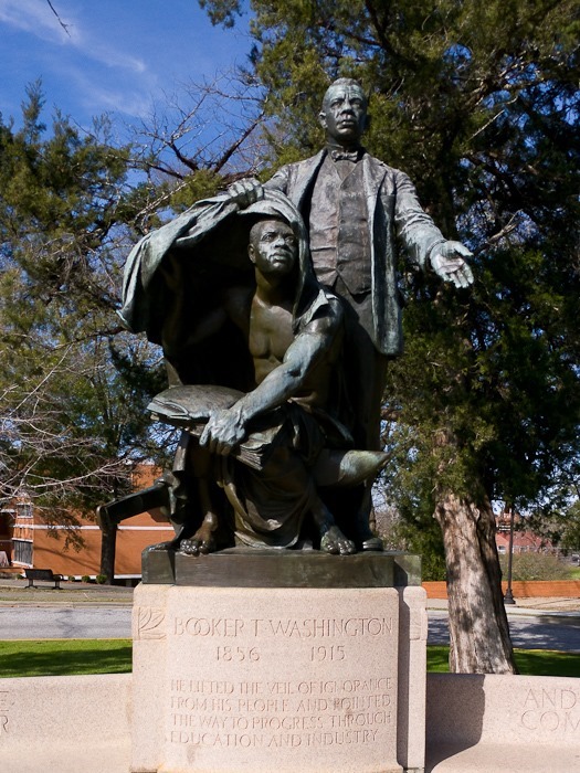
My next stop was Tuskegee Airmen National Historic Site. It was here that African-American pilots were trained for combat in World War II. The visitor center was closed but it was still an interesting visit:
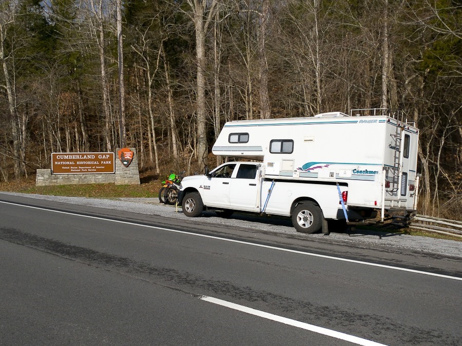
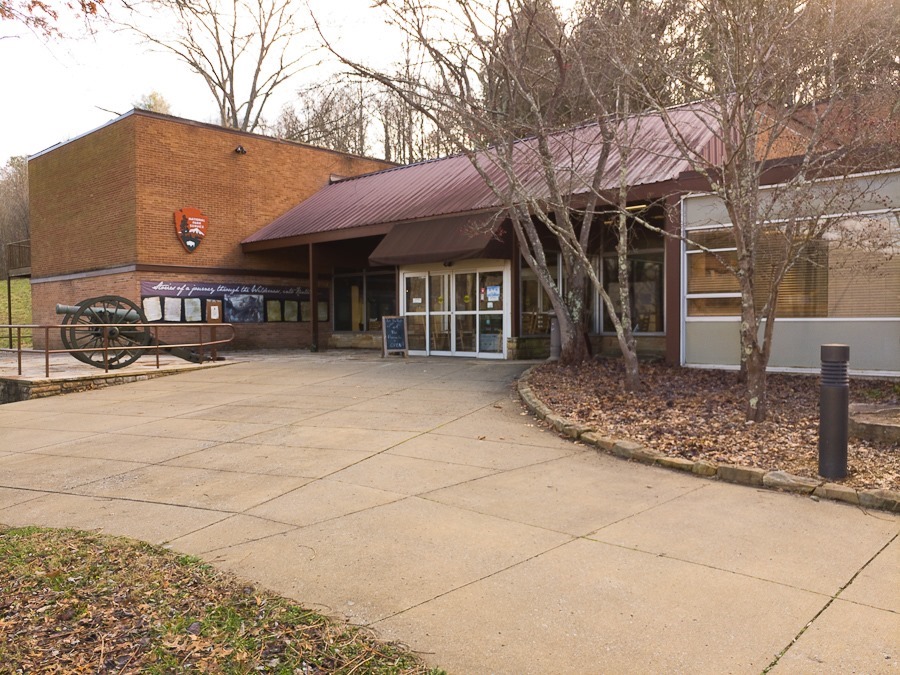
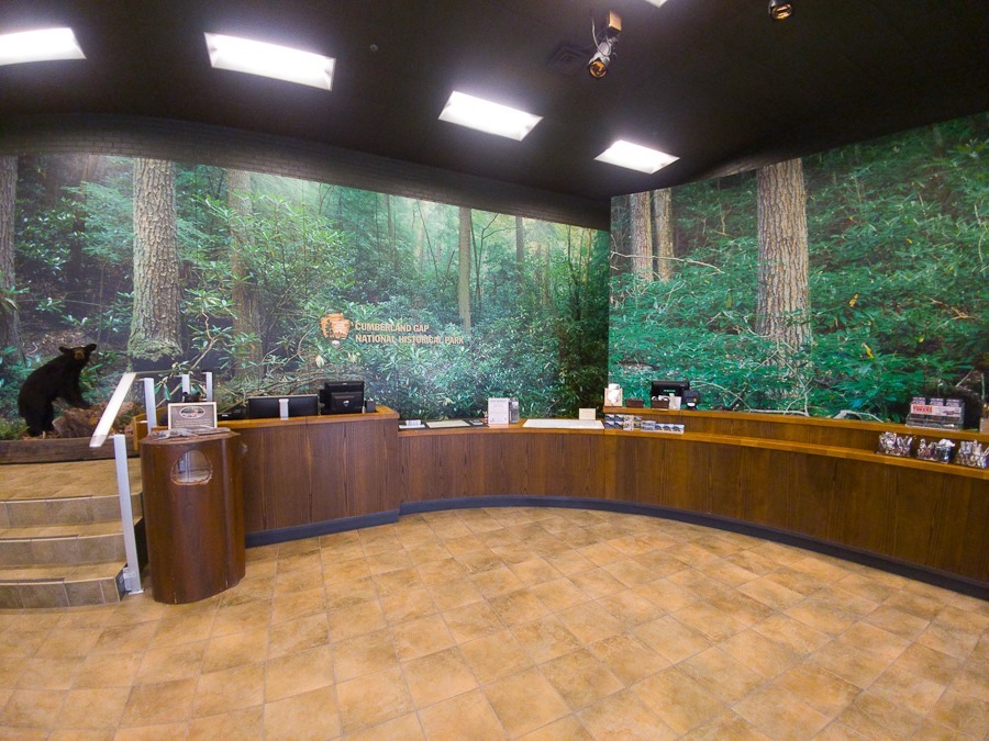
I awoke to a delivery truck at the Cracker Barrel restaurant where I spent the night. I headed out to my first stop, Cumberland Gap National Historical Park:
The park preserves the Cumberland Gap, a break in the Appalachian Mountains. The “discovery” of the gap by white settlers in 1750 allowed for the settling of Kentucky and Tennessee.
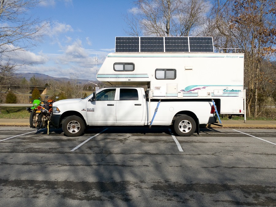
When I arrived, I discovered that the RV refrigerator no longer works on propane but does work on electricity, so I raised my solar panels and turned on the inverter to generate 120VAC:
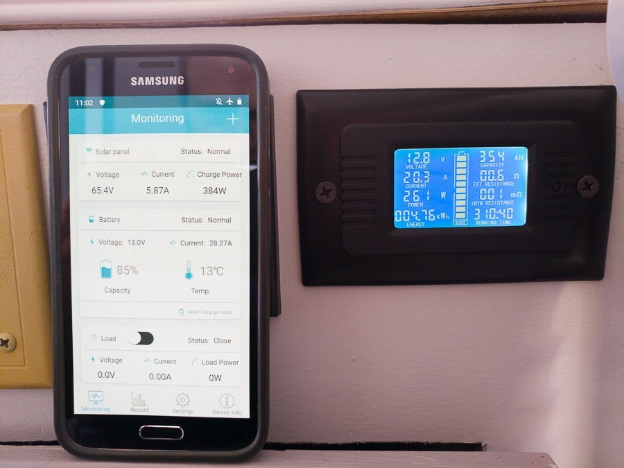
For some reason, my current phone (LG V20) doesn’t communicate with the solar controller’s Bluetooth module, but my backup phone works. Here I’m generating 384 watts of power and consuming 261 watts to operate the refrigerator:
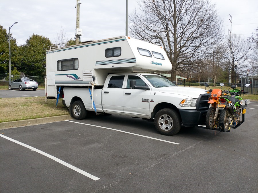
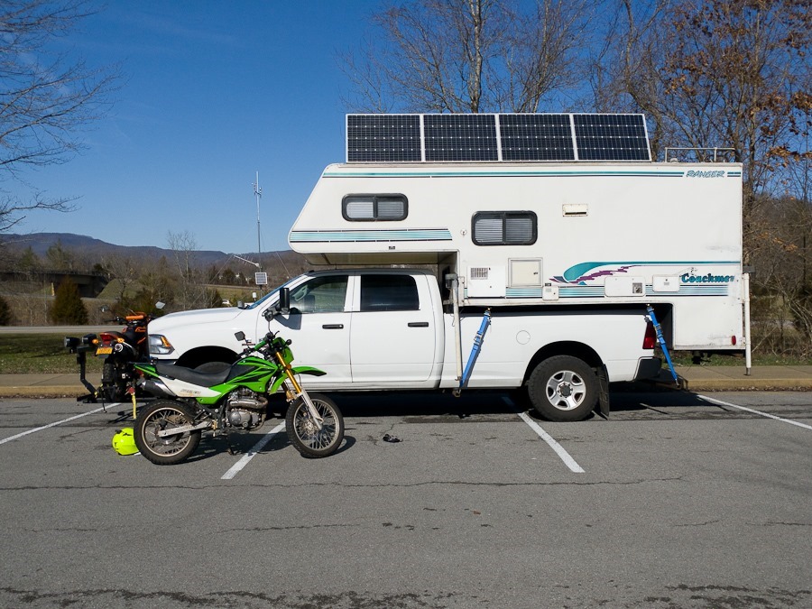
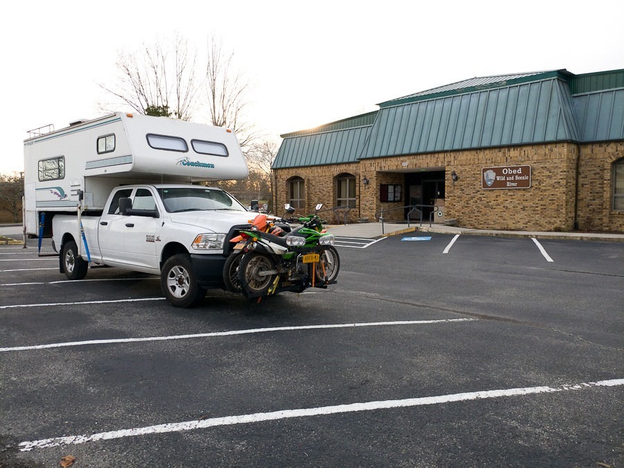
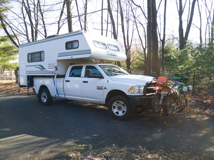
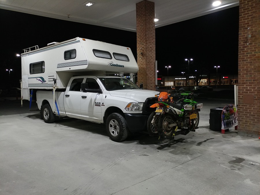
I wanted to visited the Gap itself as well as the Pinnacle Overlook, but the road has a 20-foot length limit, and I’m at 28 feet, so I dropped a motorcycle off the front rack:
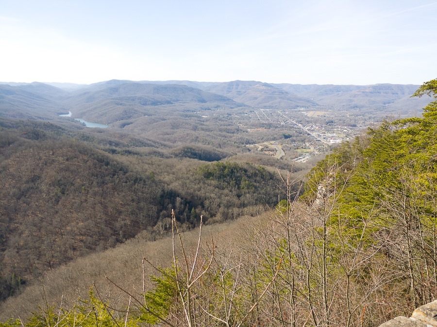
From the overlook, the Gap is the cleft running to the lower left corner of the photograph:
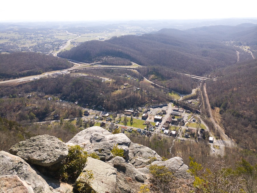
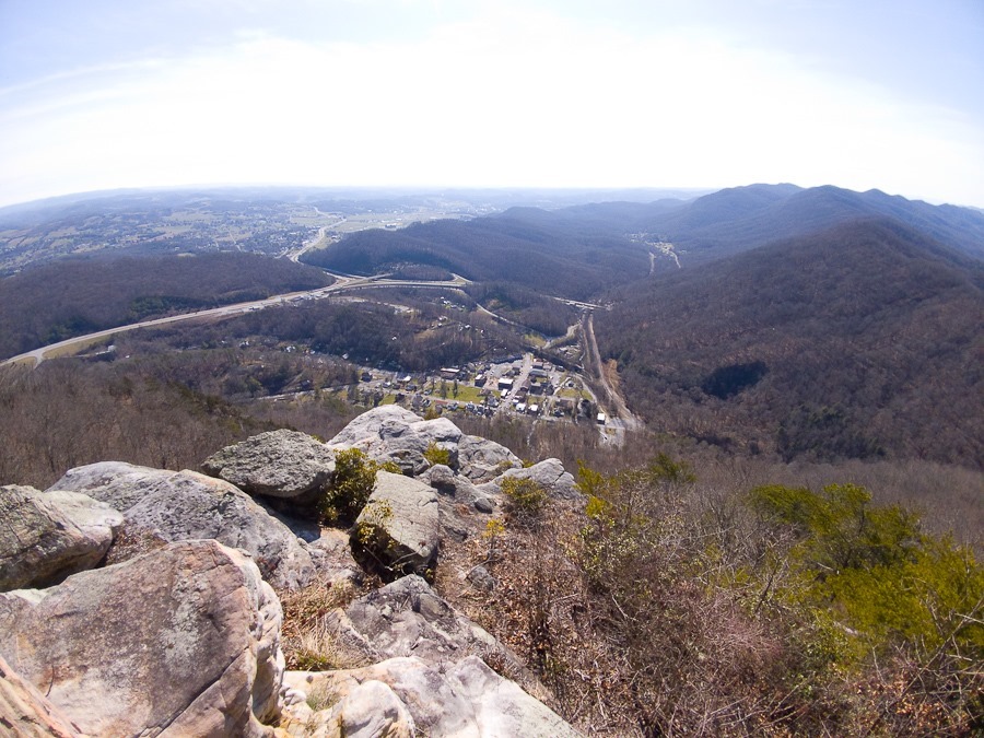
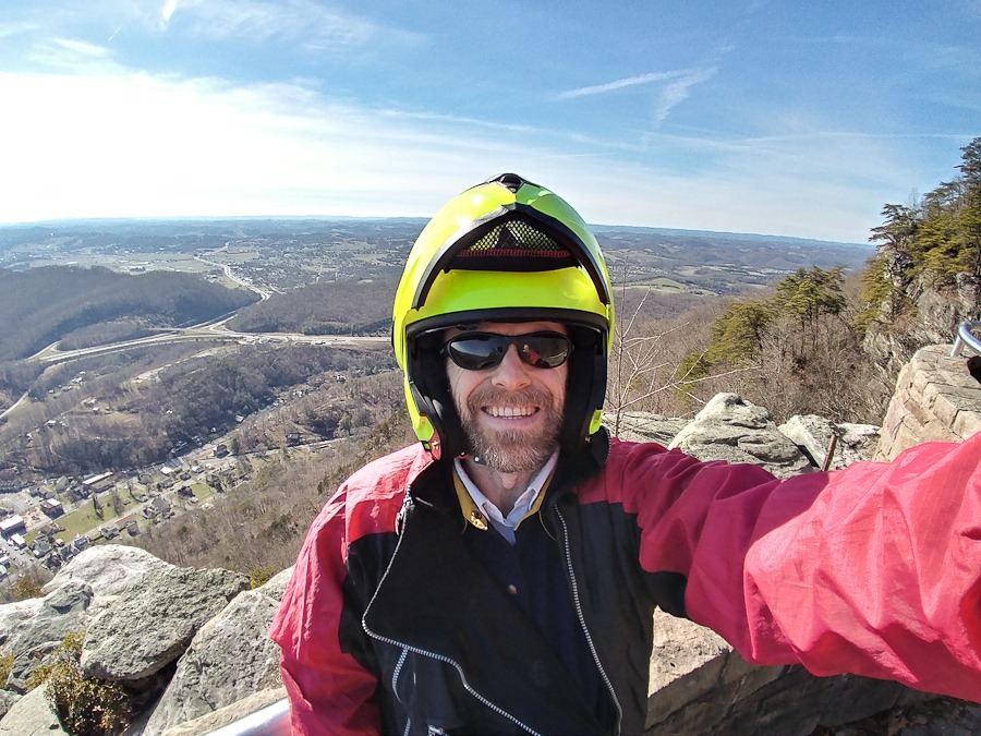
Views from the overlook:
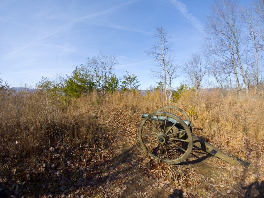
On the way back down, I visited a Civil War defensive position. The Gap changed hands several times during the Civil War:
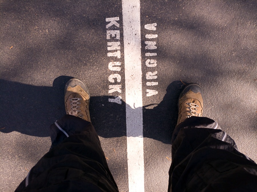
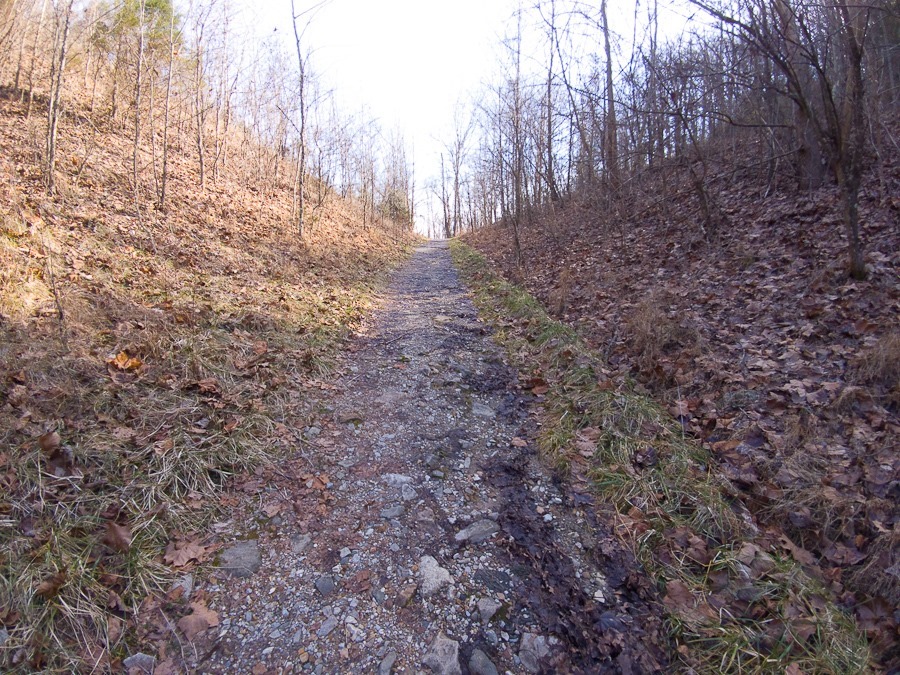
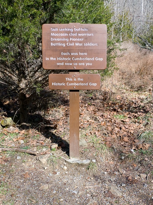
I parked the motorcycle and hiked up to the Gap itself:
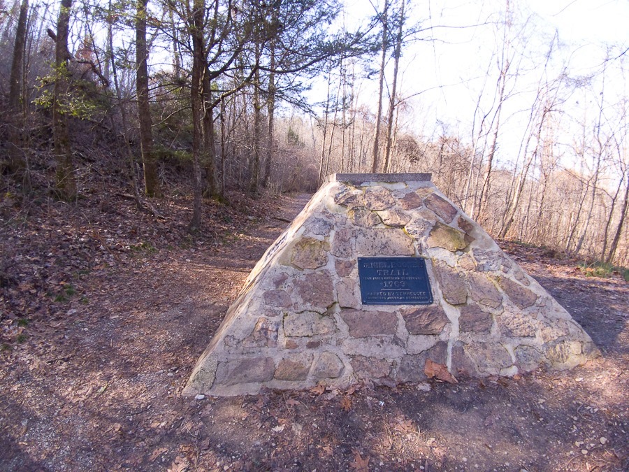
This memorial marks Daniel Boone’s trail through the Gap:






 Facebook
 Instagram
 Email
Email