Day 215: The Toadstools and The Nautilus

Homeschool continues, as do experiments in wheat-free cooking.  See Tricia’s Blog for details:

Day215_01

Day215_02

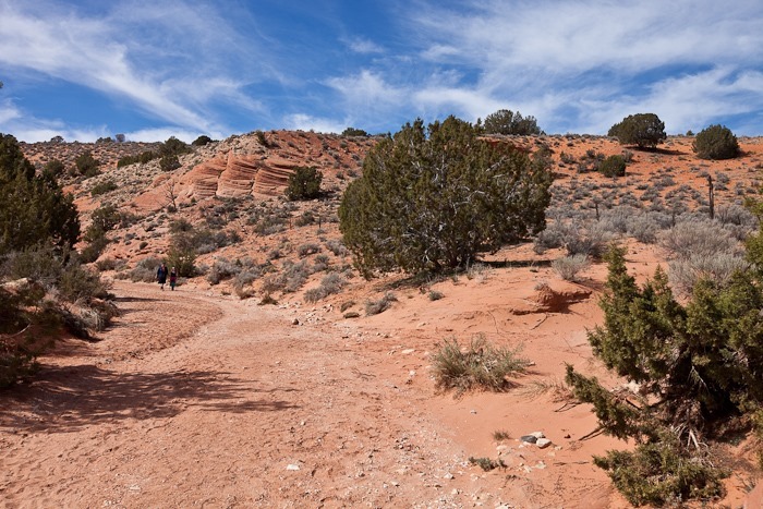
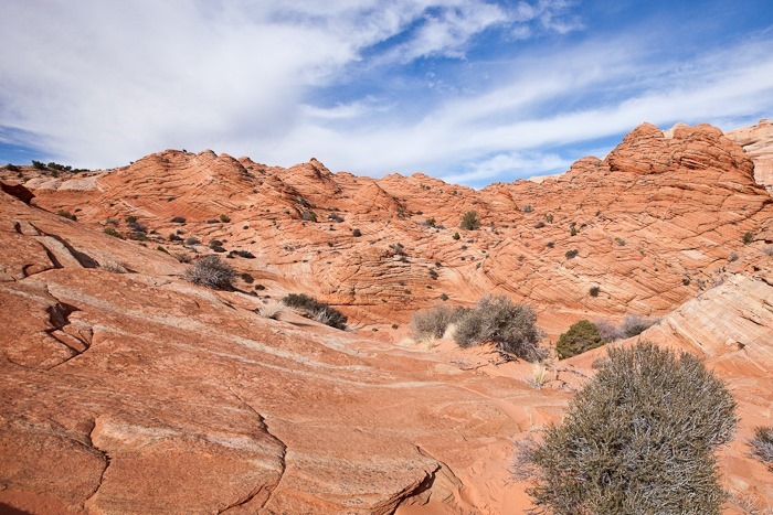
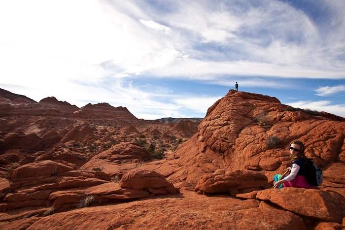
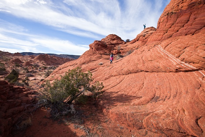
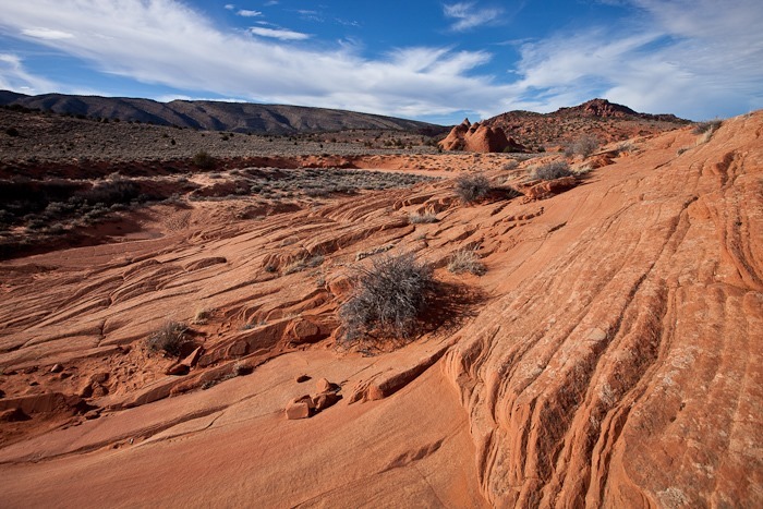
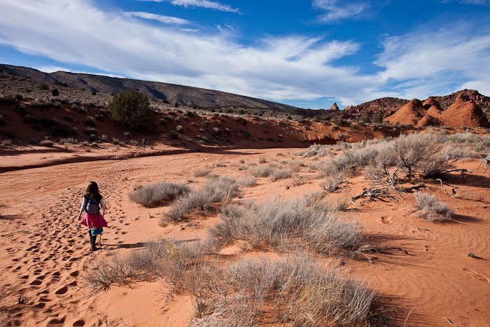
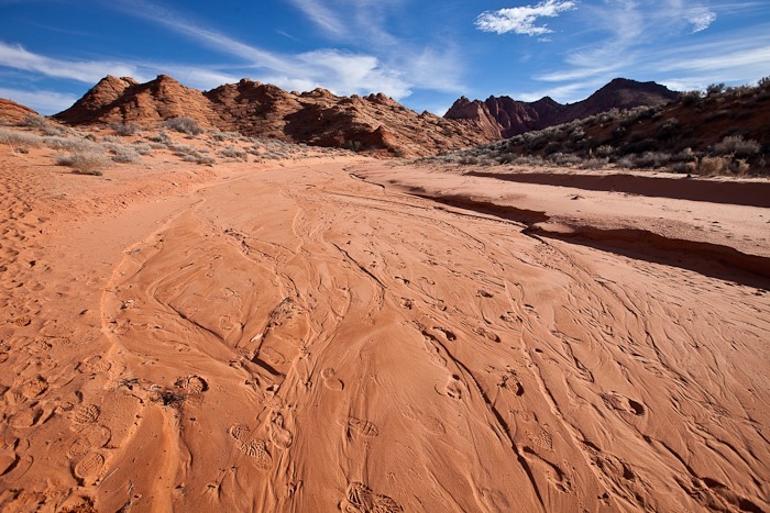
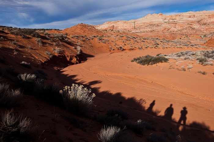
We drove out from the Coyote Buttes area and headed East towards Page, Arizona.  On the way, we pulled off to hike to The Toadstools:

Day215_03

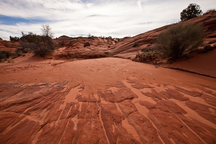
Hiking up a wash, we had to climb up a dry waterfall:

Day215_04

Day215_05

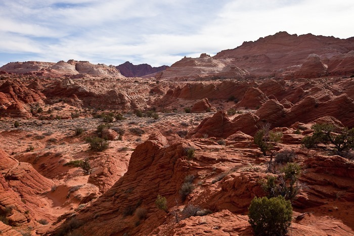
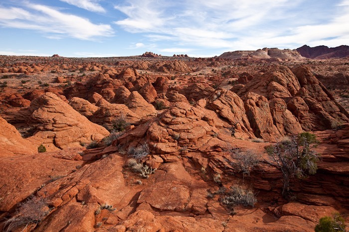
At last we reached The Toadstools:

Day215_06

Day215_07

Day215_08

Day215_09

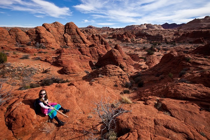
The kids captured some photographs as well:

Day215_10

Farther along we reached the white toadstools:

Day215_11

Day215_12

Day215_13

Day215_14

Day215_15

Day215_16

Day215_17

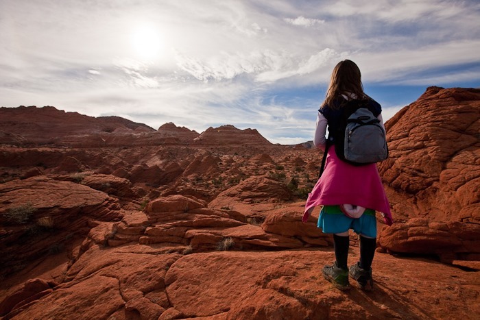
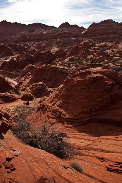
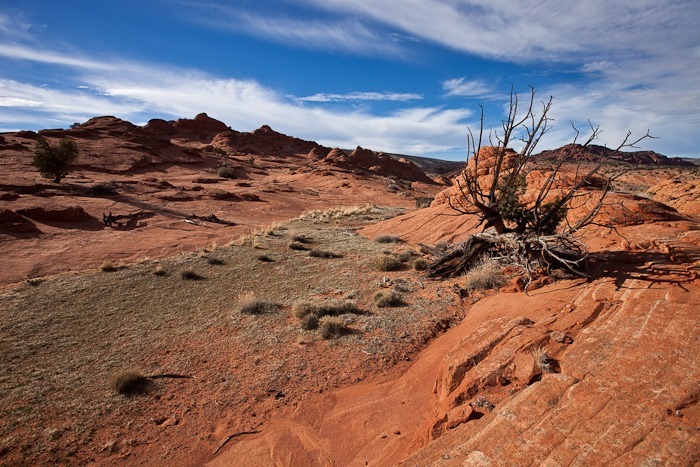
Great views abound here:

Day215_18

Day215_19

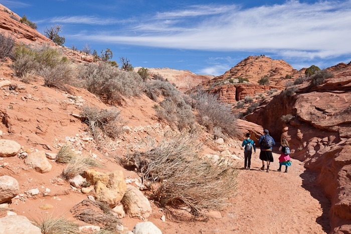
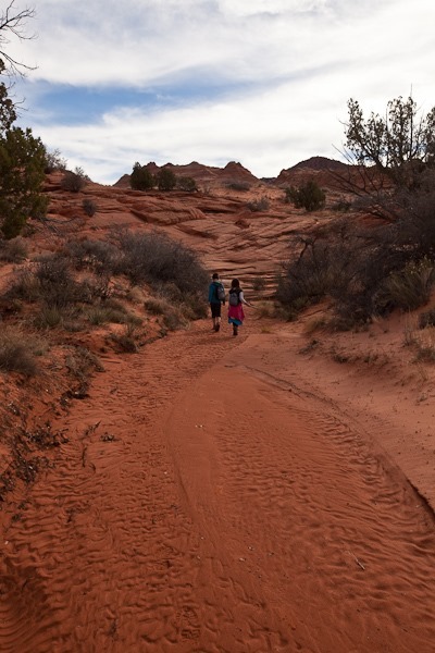
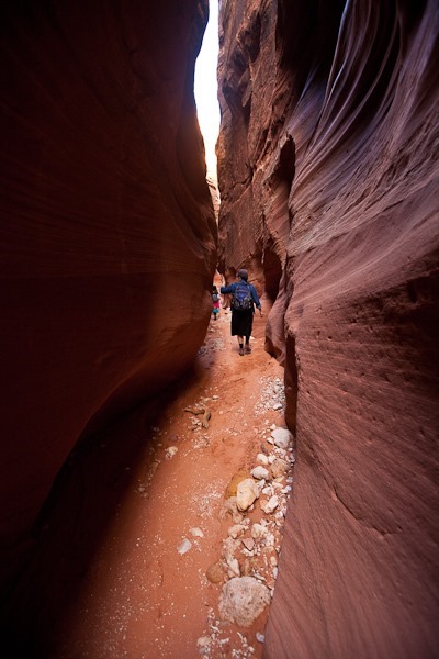
South of The Toadstools is a formation called The Nautilus.  BLM actively suppresses directions to The Nautilus online, so it took a bit of work to figure out where to start looking.  We hiked up a wash for about half a mile:

Day215_43

Day215_20

Day215_21

Day215_23

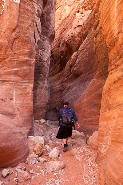
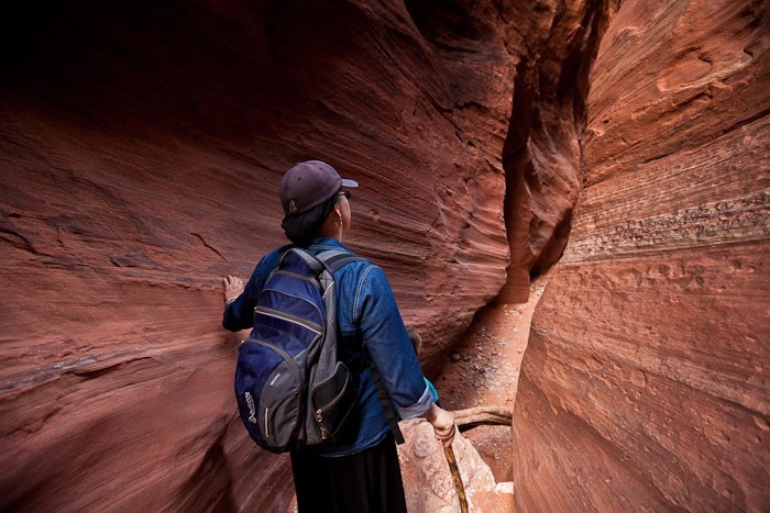
B enters The Nautilus:

Day215_22

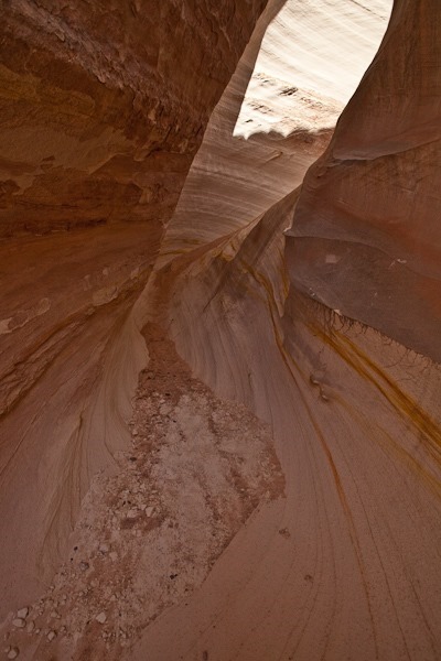
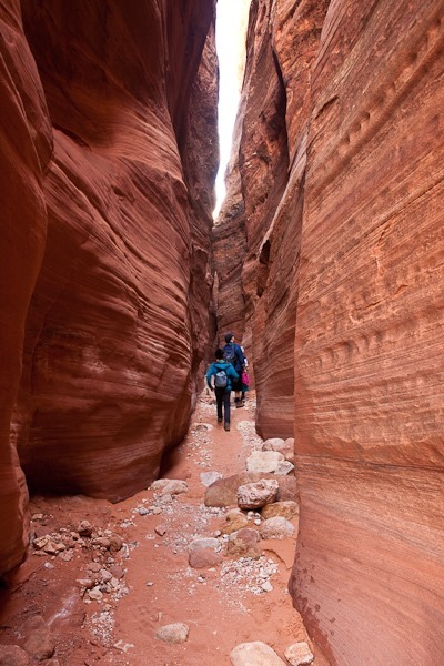
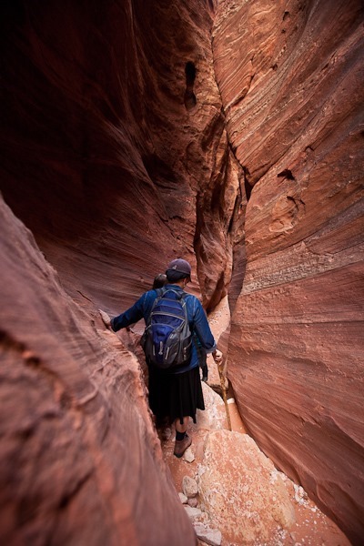
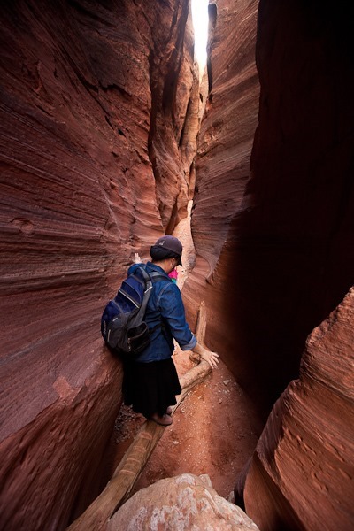
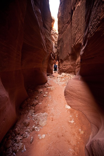
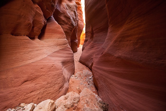
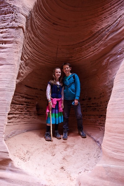
The Nautilus is a corkscrew-shaped slot canyon.  B hikes around and up The Nautilus:

Day215_24

Day215_36

Day215_25

Day215_26

Day215_27

Looking down from the top:

Day215_29

Day215_30

Day215_33

Day215_34

Day215_35

Day215_32

Day215_31

Day215_37

Day215_38

Day215_40

Day215_41

After finishing up here, we continued East to Page, Arizona to overnight at the Walmart there.  See the trip map for details.
Day 214: Coyote Buttes Slot Canyons

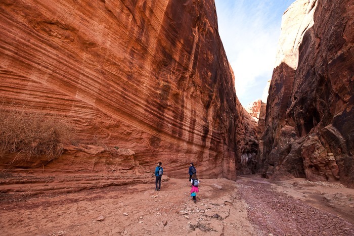
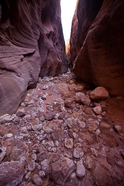
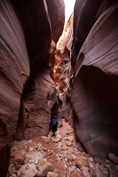
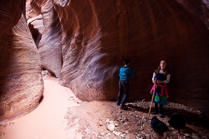
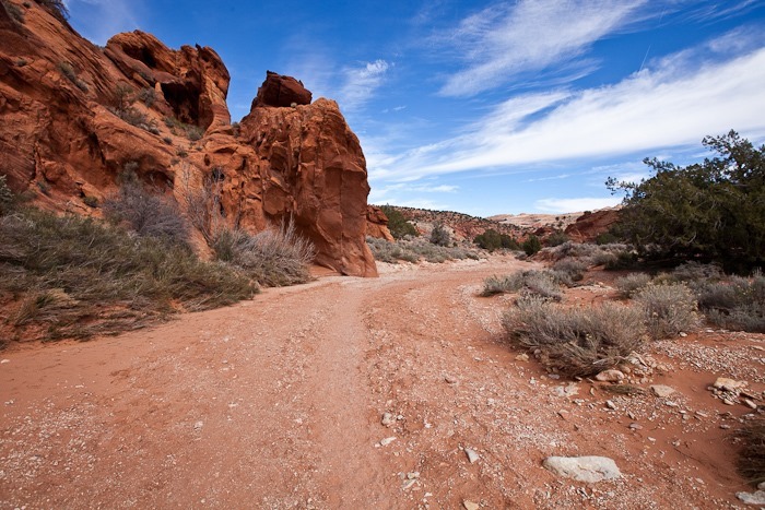
Today after homeschooling we hiked down Coyote Wash towards Buckskin Gulch:

Day213_01

Day213_02

Day213_03

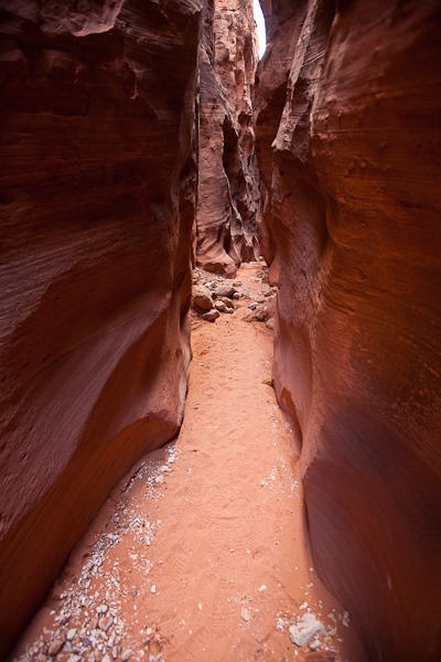
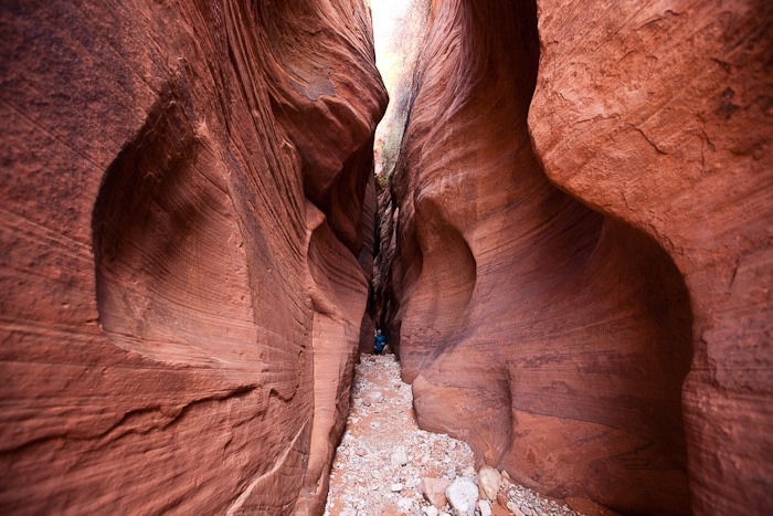
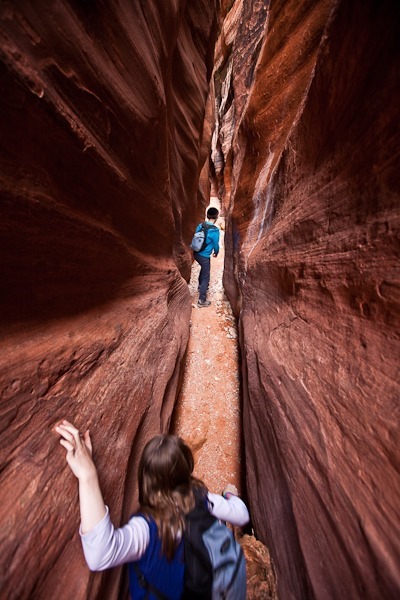
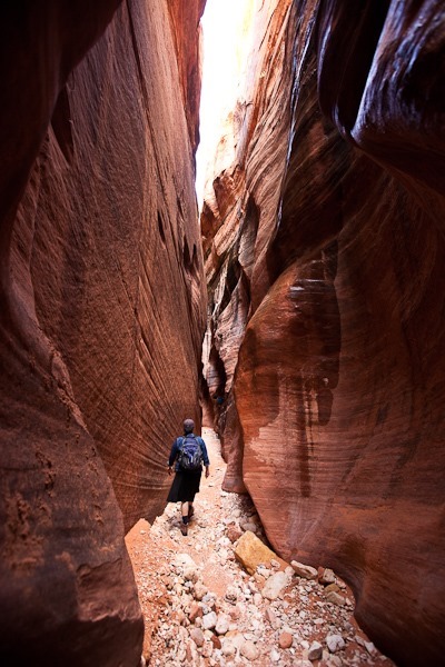
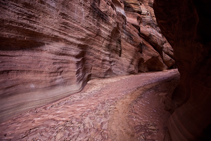
Coyote Wash soon becomes a slot canyon:

Day213_04

Day213_05

Day213_06

Day213_07

We had to walk down this log to get down from a dry waterfall:

Day213_08

Day213_09

Day213_10

Day213_11

Day213_12

Day213_13

Day213_14

Day213_15

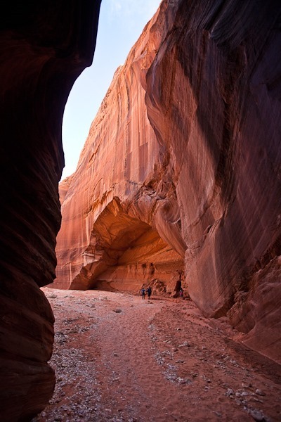
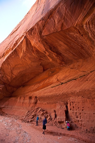
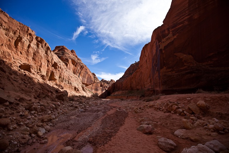
The canyon opened up into a wide space with amazingly high walls where Coyote Wash dumps into Buckskin Gulch:

Day213_16

Day213_17

Looking back up Coyote Wash:

Day213_18

I get the impression someone has been here before:

Day213_19

Day213_20

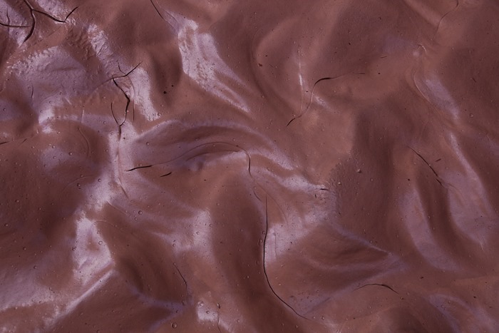
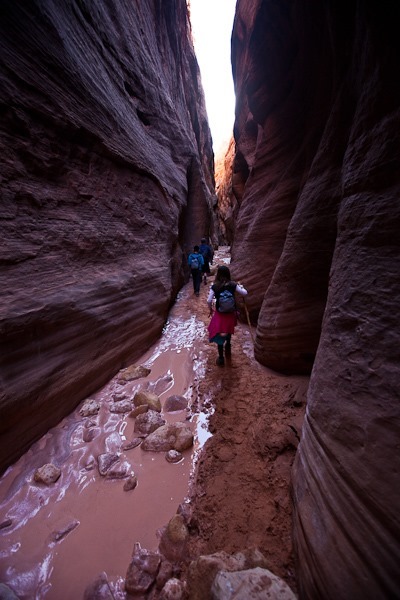
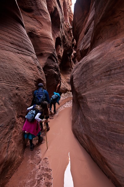
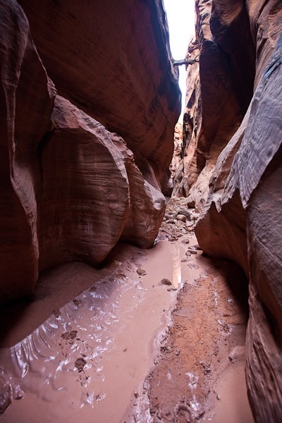
We headed upstream into Buckskin Gulch.  Even though it hasn’t rained in over a week, there’s mud and even standing water in the canyon:

Day213_22

Day213_23

Day213_24

Day213_25

After walking up the upstream side of the Gulch, we headed into the downstream section:

Day213_21

Day213_26

Day213_27

Day213_28

High adventure!

Day213_29

We finally reached a wall-to-wall pool that was too deep to cross:

Day213_30

The kids tried to build a rock path through the pool, but it must be pretty deep because large boulders were disappearing beneath the surface:

Day213_31

The stump lodged in the canyon above gives some idea of the water height during a flash flood:

Day213_32

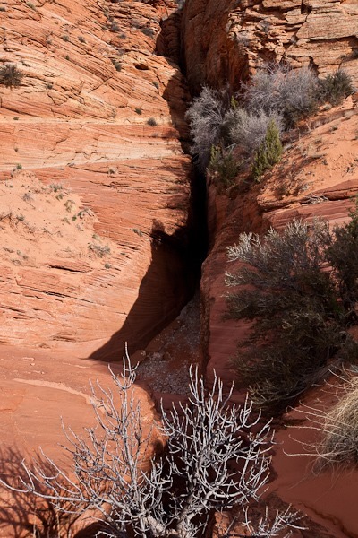
We returned to the junction with Coyote Wash, then headed back up Coyote Wash and climbed out onto the rim.  From that vantage, we could see down into the slot:

Day213_33

From there, we hiked South towards The Teepees.  The landscape was amazing:

Day213_34

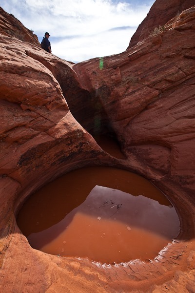
We hiked up a dry wash that feeds into Coyote Wash.  The water has carved out a series of deep bowls beneath each drop in the sandstone:

Day213_35

Day213_36

Day213_37

Day213_38

Day213_39

We decided to stop when we reached a valley.  The Wave is in the upper right, and The Teepees are on the horizon:

Day213_40

Day213_41

Day213_42

Day213_43

Day213_44

Day213_45

Day213_48

The hike back to the RV was great.  We skirted the Coyote Buttes North area as we don’t have a permit for that area.

Day213_49

Day213_50

Day213_51

Day213_52

Day213_53

Day213_54

Day213_55

We had a great hike!  We will be leaving our dispersed camping location tomorrow:

Day213_59-2

Day 212: Surfing The Wave

Today is the day I have the permit to hike to The Wave.  The Wave is best photographed mid-day, so we did a bit of homeschooling and then I headed out from the RV down to the trailhead:

Day212_01

The hike to the wave is a little over 3 miles long, and while there’s not an established trail in spots, the BLM does give out a map that’s pretty straightforward to follow.

Day212_02

Day212_03

Day212_04

Day212_05

The Navajo Sandstone makes everything brick red:

Day212_06

I found myself stopping very frequently and gasping in delight at the amazing landscapes on the way to The Wave:

Day212_07

Day212_08

Day212_09

Day212_10

Day212_11

Day212_12

Day212_13

Day212_14

Day212_15

Day212_16

Day212_17

Day212_18

The sandstone has been carved by wind and rain into interesting shapes:

Day212_19

Day212_20

Day212_21

The Wave is just below the vertical black line in the mountain face ahead:

Day212_22

Day212_23

Day212_24

At last, I reached The Wave:

Day212_25

Day212_26

Day212_27

Day212_28

Day212_29

Day212_30

Day212_31

Day212_32

Day212_33

Day212_34

Day212_35

Day212_36

Day212_37

I hiked out of the wave to photograph around it:

Day212_38

Day212_39

Day212_40

Day212_41

Day212_42

Day212_43

Here are two views of The Wave from above:

Day212_44

Day212_45

Day212_46

Day212_47

Sand and sandstone:

Day212_48

Day212_49

Day212_50

Day212_51

Day212_52

Day212_53

Day212_54

Day212_55

Back in to The Wave:

Day212_56

Day212_57

Day212_58

Day212_59

Day212_60

Day212_61

Day212_63

Day212_64

Day212_65

Day212_66

Day212_68

Day212_69

Day212_70

Day212_71

Day212_74

Day212_75

Day212_76

Day212_77

Day212_81

Day212_83

Day212_84

Day212_85

Day212_86

Day212_87

Day212_88

It was hard to leave, but I did have to get back before Shabbos.  The hike back was beautiful too:

Day212_89

Day212_90

Day212_91

What an amazing experience!  Good Shabbos from Coyote Buttes!

Day 211: Winning the lottery

This morning we left our dispersed camping site near Coral Pink Sand Dunes State Park and drove into Kanab.  The road is closed daily from 8:30am to 11:30am due to blasting for road widening, so we wanted to be sure to get through before that.

We arrived at the Kanab BLM office promptly at 8:30 for the lottery for The Wave.  Each group filled out a lottery form and was assigned a number.  Corresponding numbered balls are placed in a bingo spinning cage thing and the winning balls were read off.  There were 20 groups there, and only 10 people are allowed in per day.  The first four winning groups were each two-person groups, so there were two slots left.  The next winner was a group of four, and they declined the permit as it meant only two of them could go.  The next winner was a group of one, and I won the last permit.  The other 11 groups went away empty handed.

Unfortunately, it means only one of us gets to go, but that’s better than no-one.  Trish and I decided I would go, as the 3.5 mile hike to The Wave is not marked and it’s largely across slickrock, so there are no footprints to follow, and I’m the better map reader of the two of us.

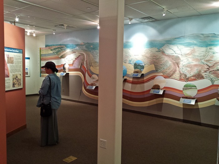
After the lottery, we checked out the visitor center displays.  The visitor center is also for the

Grand Staircase-Escalante National Monument, so the kids picked up their Junior Ranger workbooks:

Day211_01

After grocery shopping and getting gas, we drove a bit North of Kanab to the Best Friends Animal Sanctuary, the largest no-kill animal sanctuary in the world.  Trish and the kids took a tour while I did some work in the RV.  There’s a description and photos on Tricia’s Blog, and M’s blog and B’s blog both have descriptions as well.

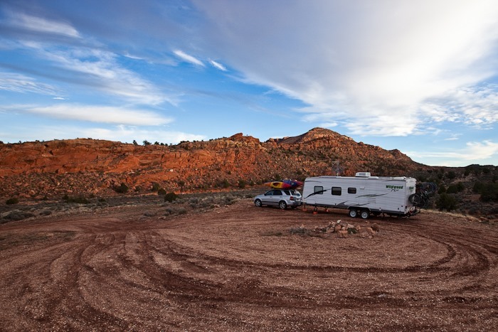
We left Best Friends and drove 40 miles East of Kanab, then drove 8 miles south on House Rock Valley Road.  House Rock Valley is a dirt road, and we had to keep it about 15 miles an hour, so it took a while to reach the trailhead.  There’s no camping at the trailhead, but thankfully there’s a dispersed camping site just up the hill from the trailhead.  See the trip map for details.  The terrain along the road was incredible:
Day211_02

Tomorrow, we will do a bit of home schooling in the morning, and then I’ll hike to The Wave!

Day 210: Square (RV) Peg, Round (Tunnel) Hole

After a late start and exit from the Watchman Campground, we stopped by the Zion entrance booth to have our RV measured for passage through the East Tunnel out of the park.  After some hand wringing by the ranger, they gave us the “go ahead” pass for the tunnel at the Eastern entrance.  When we got to the tunnel, the ranger at the guard booth shook her head and moved the cone to let us in.  The tunnel is a little over a mile long, and the clearance at the curb is 11’ 4”.  We’re at about 10’ 4”, I think, so I stayed very close to the center line as we rolled through.  We reached the other end without a scratch!

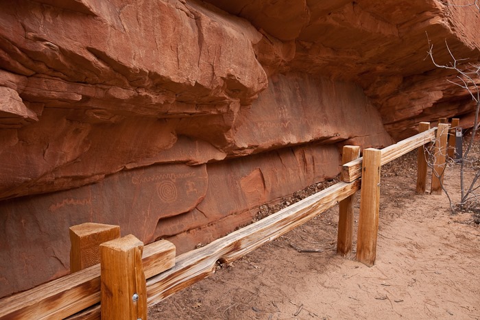
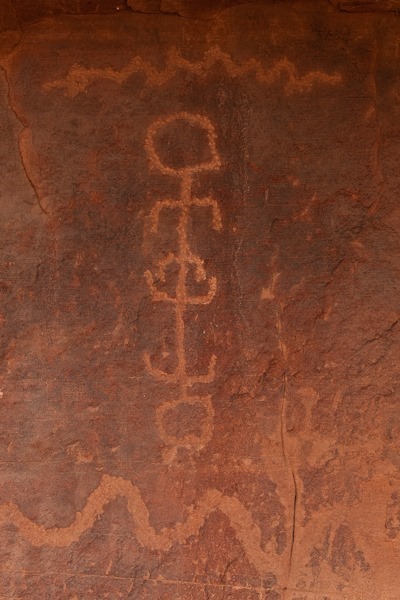
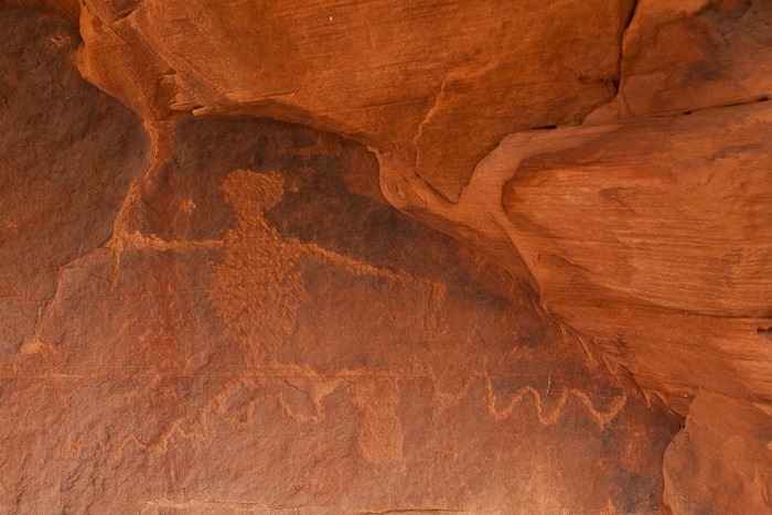
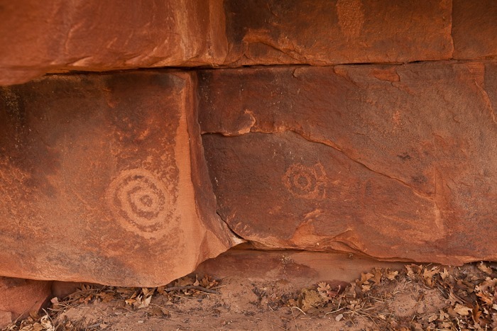
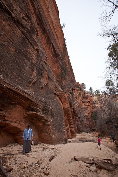
Having spent many a season in Zion, Mike recommended another petroglyph site on our way out of Zion.  We pulled over at the appropriate spot and hiked off to investigate.  Before long we found the site:

Day210_07

Day210_02

Day210_03

Day210_04

Day210_05

Day210_06

Day210_08

Day210_09

Day210_01

Day210_10

Day210_11

The second location had still more petroglyphs:

Day210_12

Day210_13

Day210_14
More rock texture:

Day210_15

Day210_16

We walked back to the road from the petroglyphs and under the tunnel supporting the road:

Day210_17

Day210_19-3

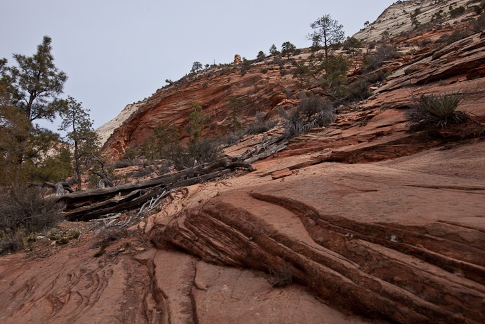
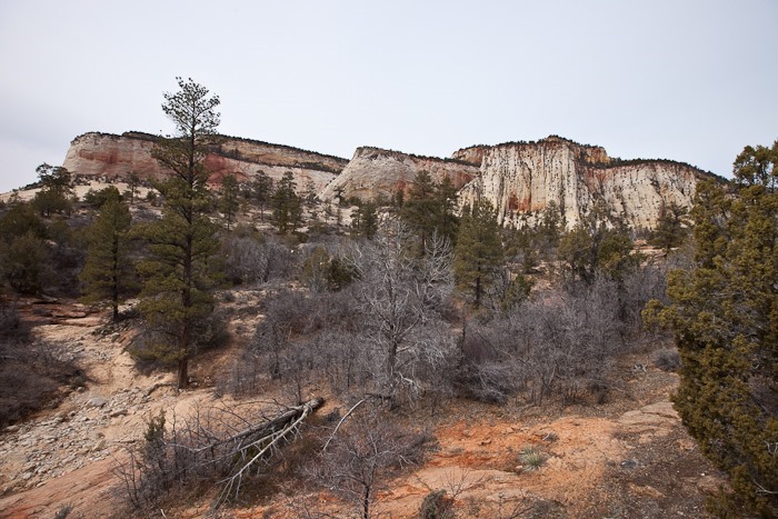
The formations on the East side of Zion are a bit different from the West side:

Day210_20

Day210_21

Day210_22

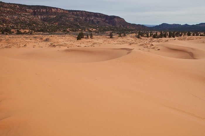
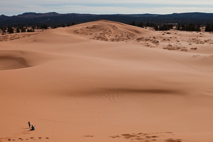
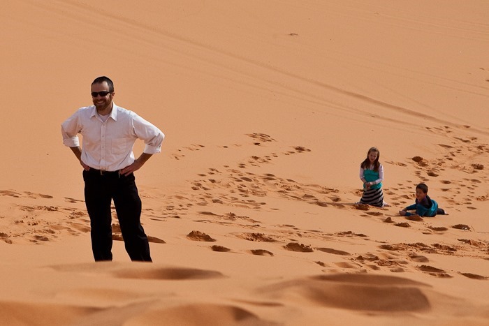
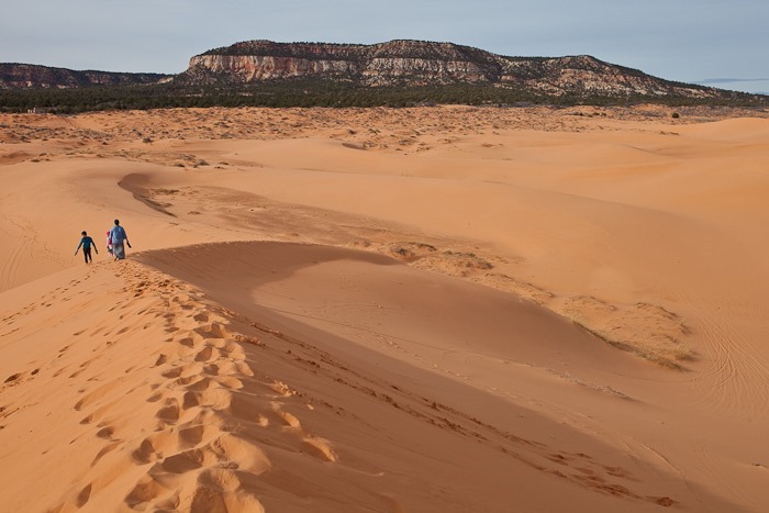
Continuing East towards Kanab, we decided to head South to visit Coral Pink Sand Dunes State Park.  The sand here is ground up Navajo Sandstone and is more of a deep orange than pink.  The sand is very fine, like sugar, and is quite firm to walk on:

Day210_23

Day210_24

Day210_25

Day210_26

Day210_27

Day210_28

The kids beat us to the top:

Day210_29

Day210_30

Day210_31

Day210_32

Day210_33

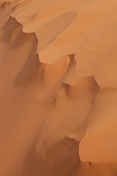
There were many beautiful patterns in the sand at the dune’s crest:

Day210_34

Day210_35

Day210_36

Day210_37

Day210_38

Day210_39

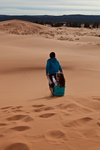
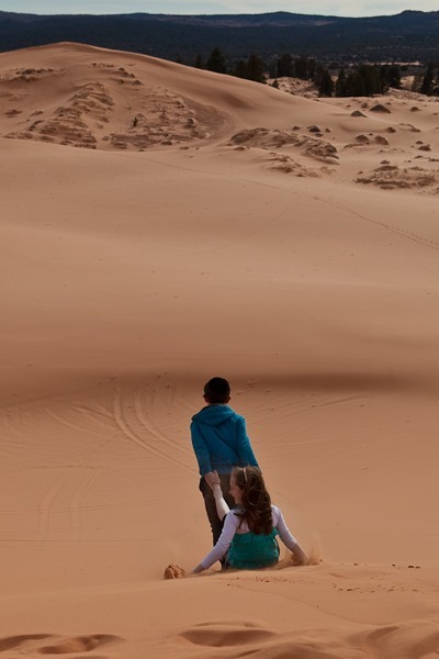
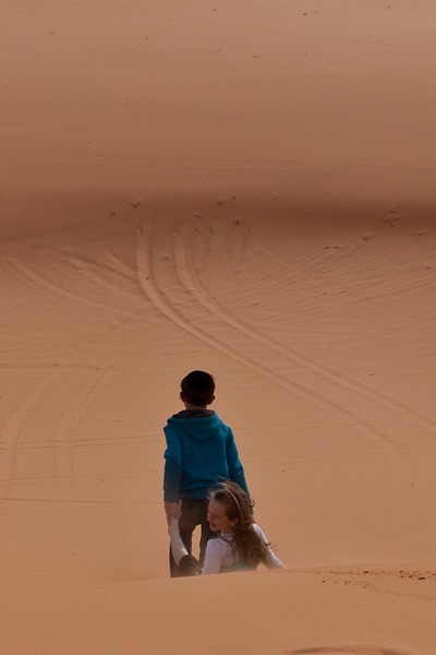
M pulled B down the hill, and went so fast she had to turn her head aside to avoid the flying sand:

Day210_40

Day210_41

Day210_42

Day210_43

Day210_44

Day210_45

Day210_46

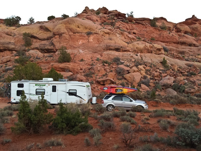
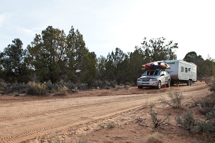
Leaving the state park, we continued East and stopped for the night on BLM land about 15 miles from Kanab.  With the cellular antenna, we have a decent connection.  It’s nice to be dispersed camping again, and with trees instead of cactus for the first time in several months:

Day210_48

Tomorrow we have to get up early to be at the visitor center in Kanab by 8:30am for the lottery for permits to enter The Wave.  There are 10 permit spots given away per day, and this time of year about 35 people show up to fill those slots, so it may be a few days before we get the permits.  See the trip map for details.