I did a few little RV fixes today, then went for a 25 mile ride to the south of Las Vegas into the hills of Anthem. I stopped by my parent’s development on the way back, where the streets end right up against the mountains:
While I was out riding, Trish and the kids went for a hike in Pittman Wash with Grandma DiAnn.
One of our readers e-mailed a link to us about the giant concrete arrows that were installed all over the US to aid in air mail navigation in the 1920s (thanks Mrs. S!). Each site consisted of a 51-foot tall lighthouse, an operations shack, and an arrow shaped concrete slab. These sites were spaced about 10 miles apart from one another, so the pilot could find his way along the route. According to the list I found online, over 800 of these stations existed in the Western US alone. By World War II, advances in radio navigation made these sites obsolete, and most of the towers were cut down and converted into steel for the war effort. The stations back in the day looked like this:
Today, only two of the towers remain, and only 50 or so of the concrete slabs still exist. After a bit of online research, I discovered that we are parked about 20 miles from one of the stations along the Los Angeles to Las Vegas route, so we decided to go find this station.
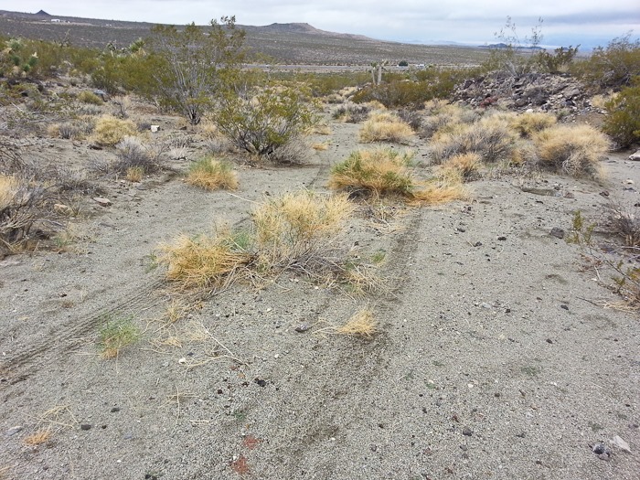
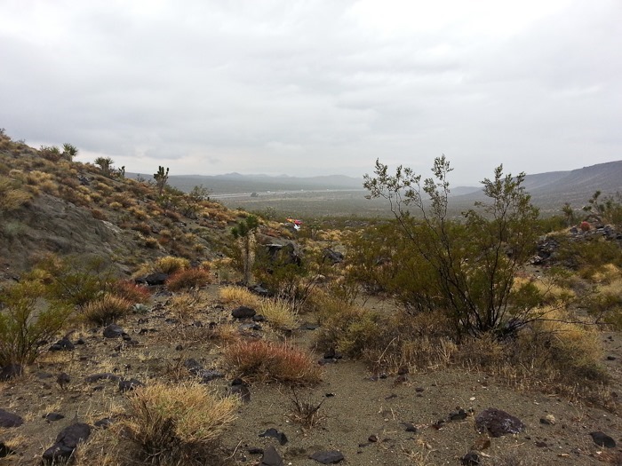
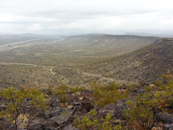
So we headed out. We drove 2.6 miles out on this dirt road that parallels I-15 on the North side. The dirt road had sections that were so steep that when we reached the top of the rise we couldn’t see down the other side, like the crest of a roller coaster. On the satellite view, it looked like there may have been a road up the eastern side of the mountain, but we couldn’t find a turnoff, so we continued to the west side of the mountain where we found a “road” we could drive up. Here’s the view looking back towards the interstate.
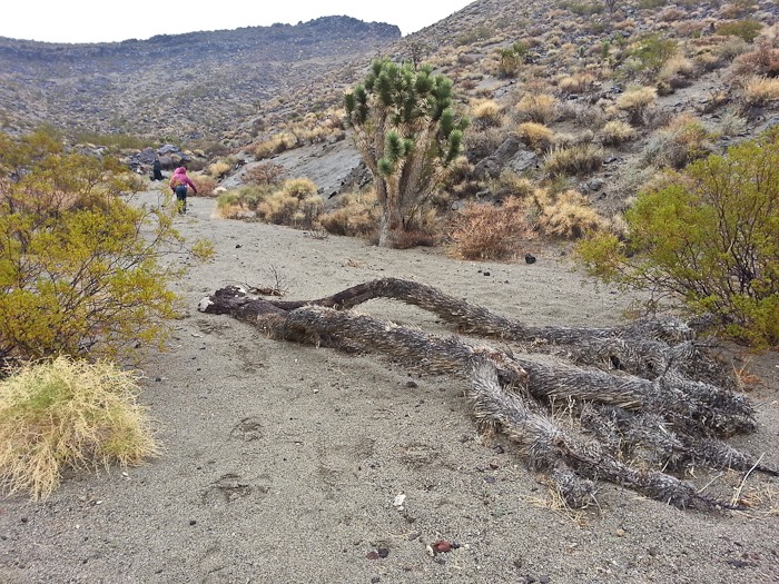
Eventually we were forced to stop by a Joshua Tree that was across the road:
Since the road was essentially an old wash, and it was raining, I parked the Kia up on the slope in case of flash flooding:
We walked on towards the ridge between the mesa on the left and the peak on the right:
Looking back down the “road”, I’m glad we decided to stop where we did:
Looks like someone didn’t make it:
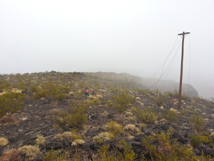
When we crested the ridge, we had to work our way around and up to the summit of the mesa. It’s a volcanic cap, so it was a bit cliff-like, and finding a way up was tricky. By this time we were in the clouds, and visibility was 100 feet or so, which made our finds at the summit even more spooky.
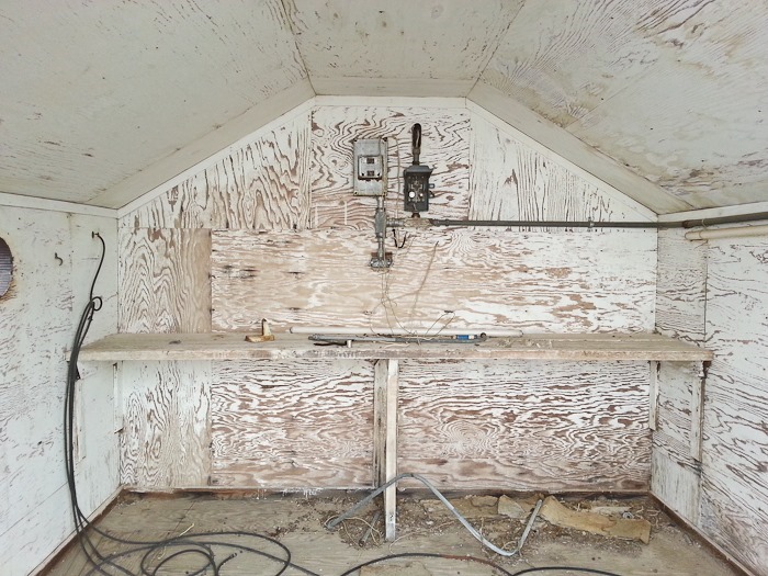
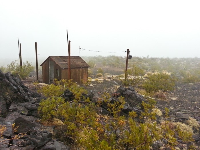
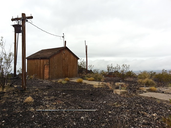
Sure enough, the operations shack from the 1920s is still standing! To its right, the pilings for the light tower are visible:
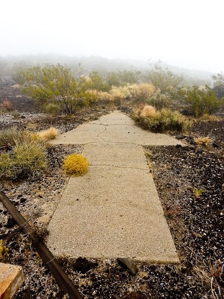
Behold, the arrow. It’s about 10 feet long:
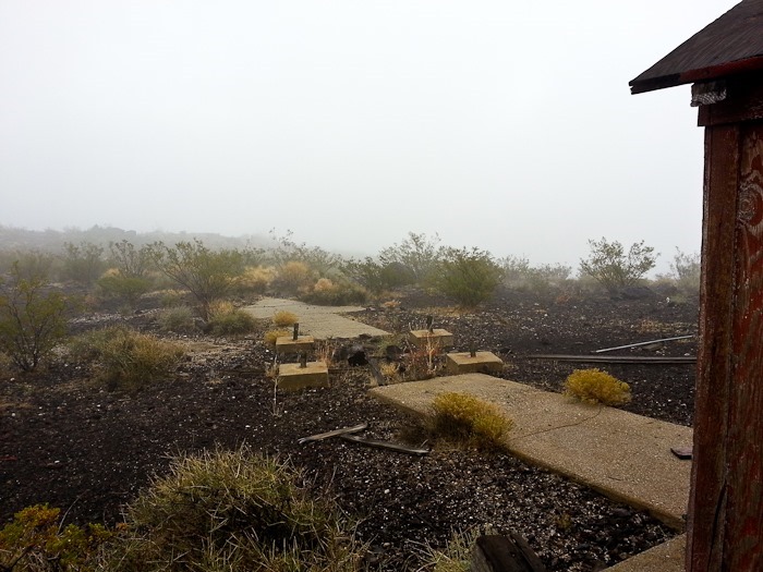
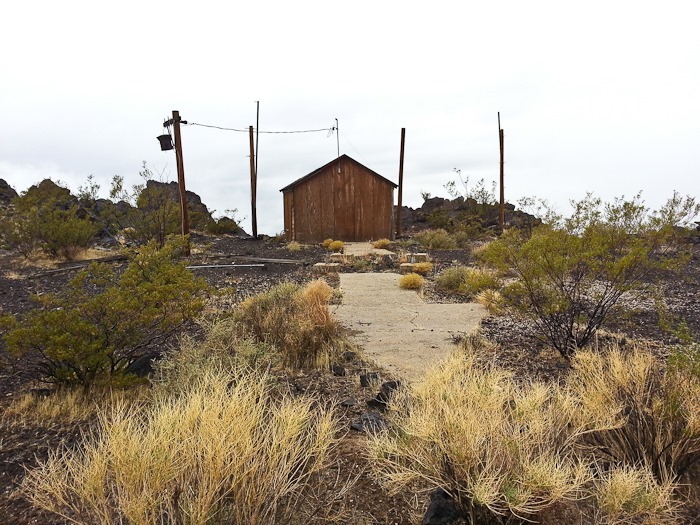
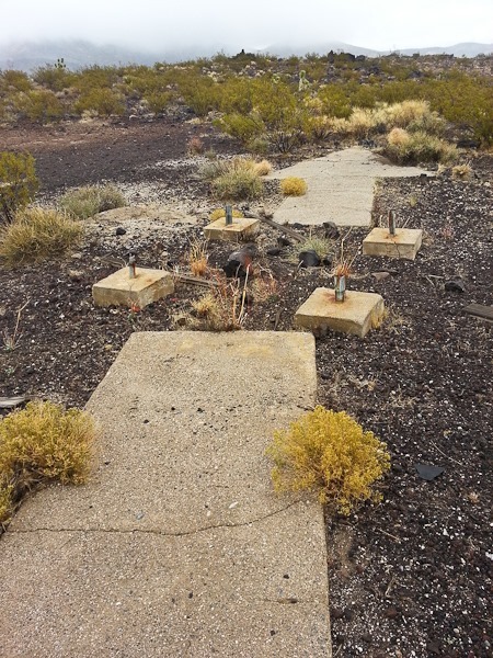
Looking from the operations shack, a concrete walk leads to the tower pilings, with the arrow beyond the pilings:
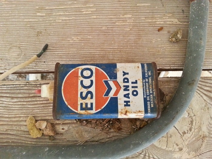
Handy Oil!
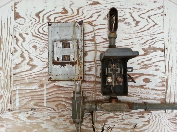
You can imagine the shack operator using the microphone on this stand to talk to the pilots passing above:
We spread out looking for artifacts:
This station had a secondary red light to indicate that this station did not have a runway. We found pieces of the red lens element all over the place:
Looking back down where we came from. The light colored area entering from the right is our “road”:
Pretty cacti at the summit:
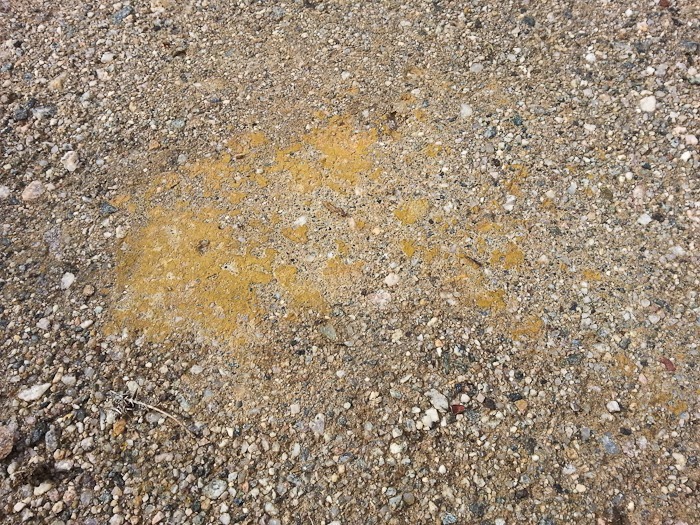
Some of the original yellow paint is still visible on the arrow:
Old beverages:
The faint path in the foreground is the dirt road we used to get here from the interstate, which is seen here in the background. The dirt road enters a wash for some distance, and driving there was tricky as the sand was loose and deep:
We walked down the road that serviced the station. No doubt it was in better shape 85 years ago:
Back to the car at last. It was exciting to discover a forgotten part of American history!
Here’s the hike portion of our trip:
We carefully drove back to the interstate the way we came. Here we are back at Sunrise Rock:
It rained for the rest of the afternoon and into the night. There’s snow in the forecast for tomorrow!
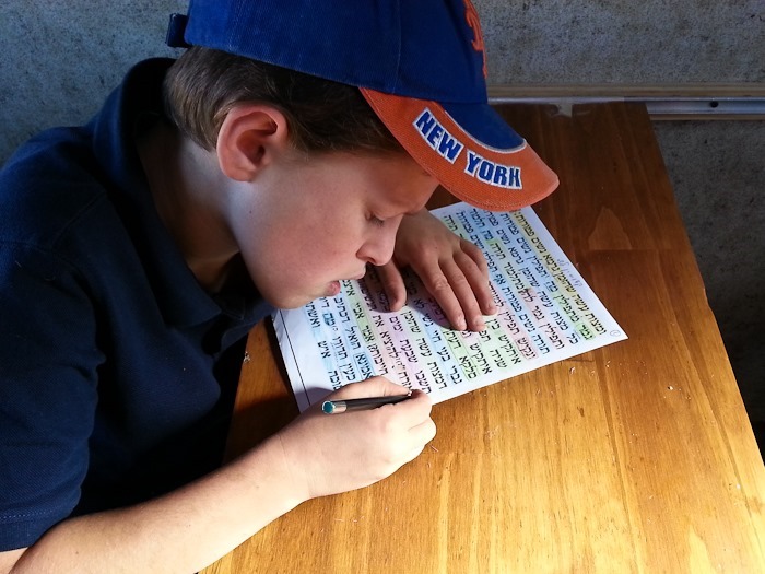
In the morning, we did homeschooling as usual. Here our son is working on Talmud skills:
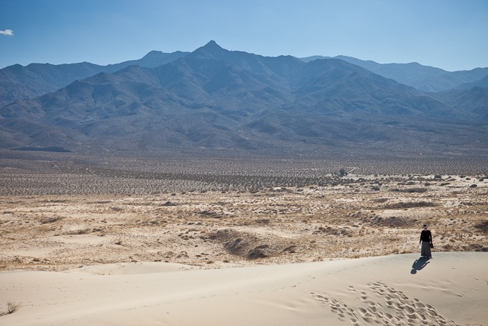
In the late morning, we walked out to the Kelso Dunes, the third highest sand dunes in the US:
We have a long way to go:
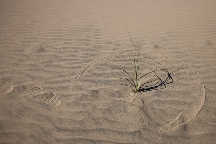
Here’s a clue that it’s windy here sometimes:
It rained in the morning, and it left little craters in the sand:
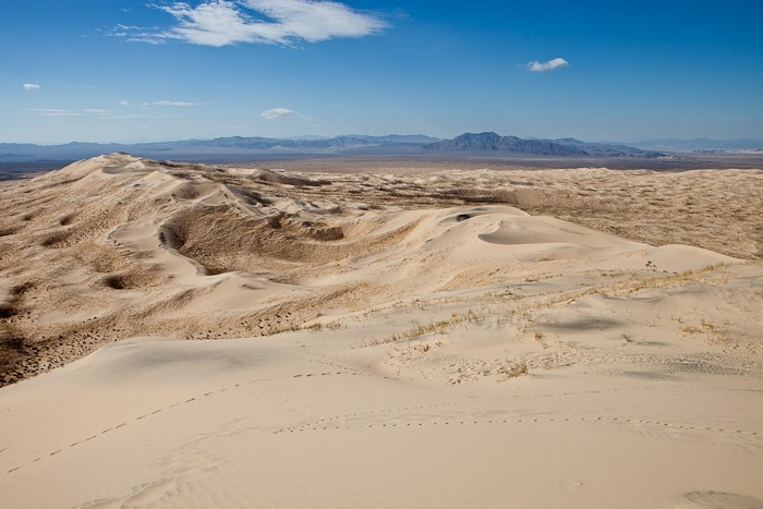
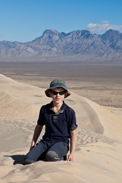
After a surprisingly difficult climb, we managed to get up on to the ridge of the highest dune:
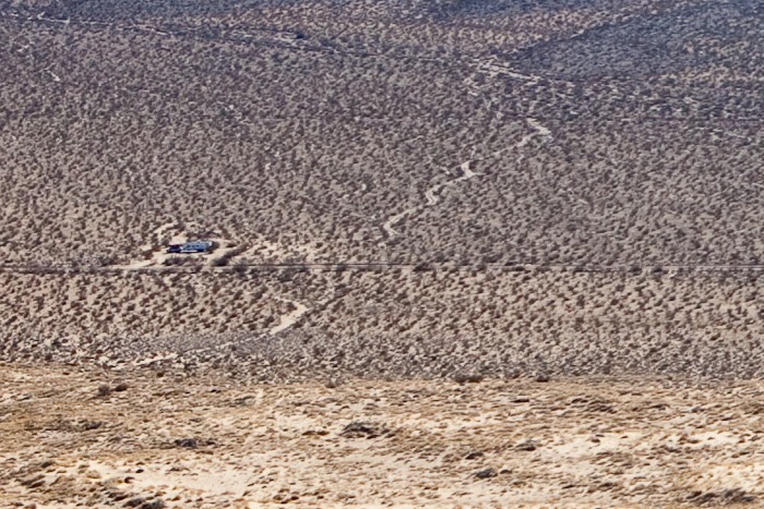
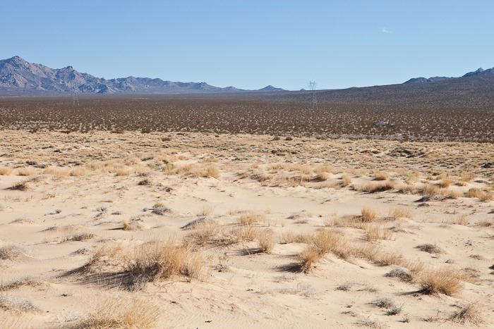
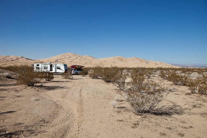
A look back towards the RV shows just how lonely it is out here. Our RV is in the center left of the frame. Below is a zoomed in section of the photograph:
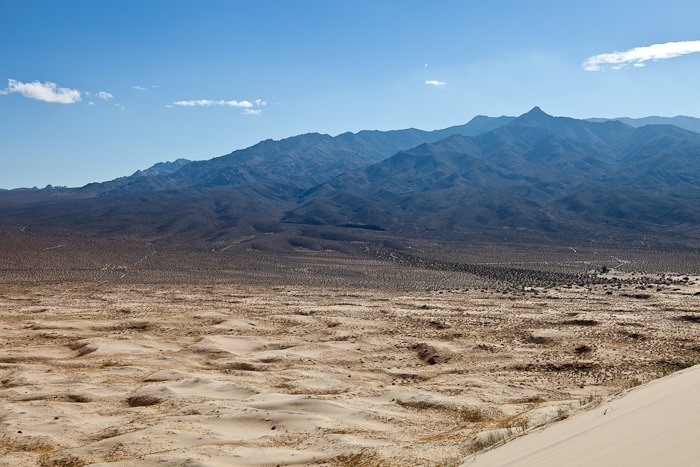
From the peak, more dunes can be seen to the west:
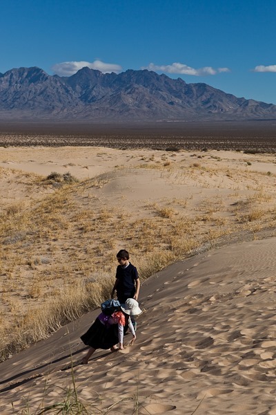
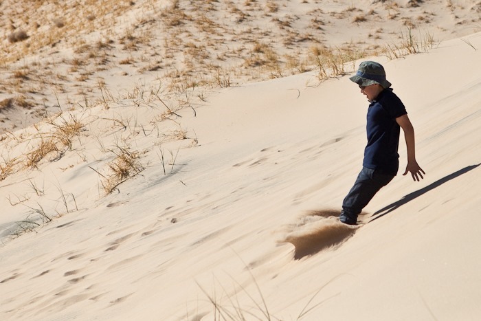
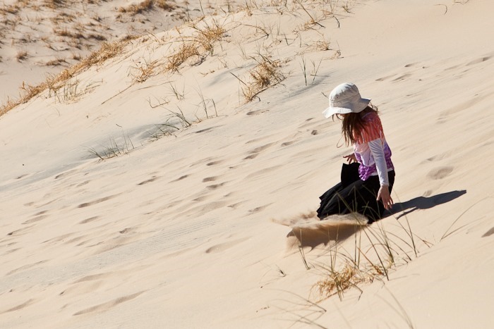
The kids ran down the dune. We might have ran down after them:
We later photographed them jumping into the sand:
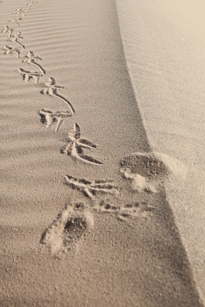
We found plenty of animal tracks, including those of a roadrunner:
The RV in the distance:
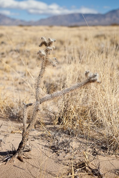
We found a single cholla cactus:
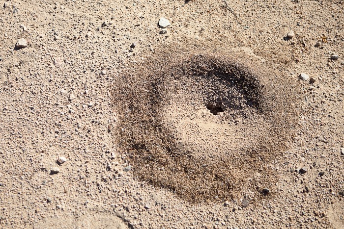
The ant hills around here are ringed by plant fragments. I suppose the ants carry the plants in and pick out the seeds and throw out the rest:
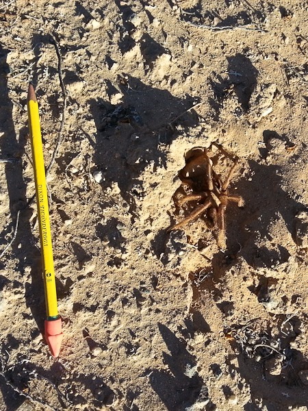
After we had lunch, we drove north towards the ghost town of Kelso, where the train depot has been converted into the visitor center. We spotted a tarantula crossing the road, and stopped for a photograph. Here he is balled up in a depression hoping we will go away. When he was on the move, he was quite a bit bigger:
When we arrived in Kelso, we discovered that the depot is closed on Wednesdays and Thursdays. We continued North to our dispersed camping location near Sunrise Rock, which has an interesting history.
See the trip map for today’s drive and our current location.
We got off to a late start today and after getting gas and propane, we drove northeast for about 100 miles into Mojave National Preserve. It’s the third-largest unit of the National Park Service in the continental US. The drive took us though the Mojave salt flats and the interesting ghost town of Amboy, where we saw its shoe tree.
The Preserve’s newsletter, which I downloaded before arriving, said that dispersed camping is allowed on the access road to the Kelso Dunes, so we drove there. We got there after dark, but here’s what our site looked like the next morning:
See the trip map for today’s drive and our current location.





























 Facebook
 Instagram
 Email
Email