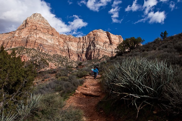
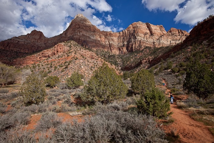
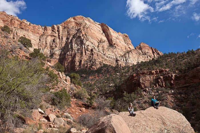
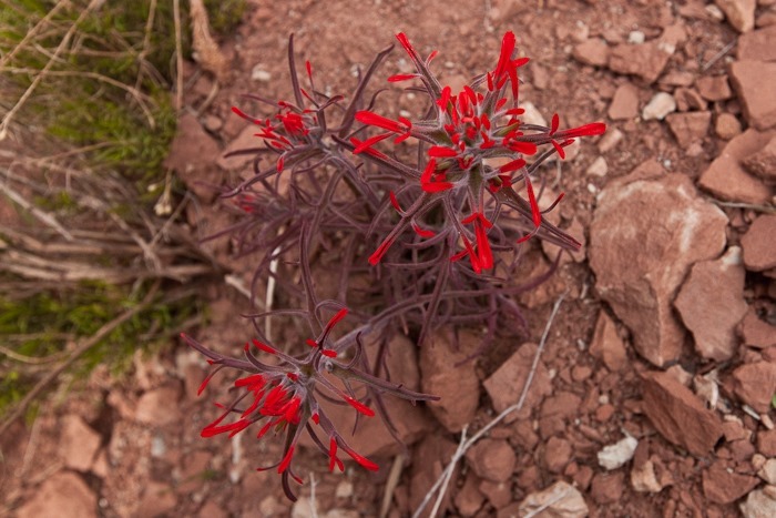
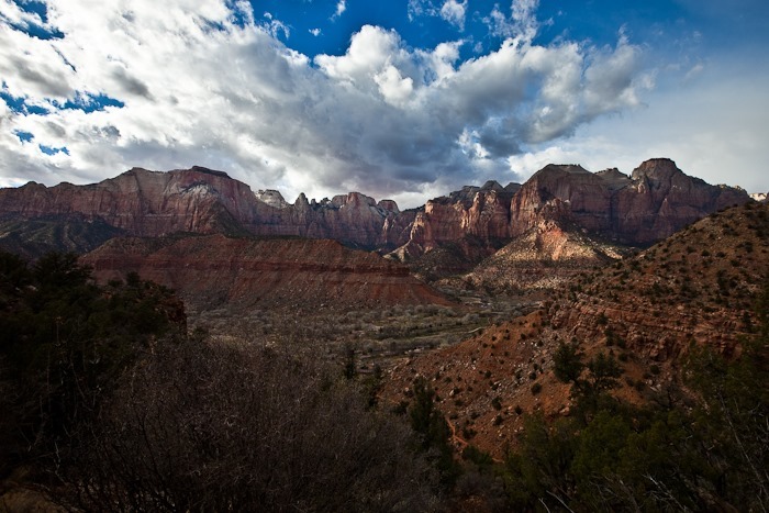
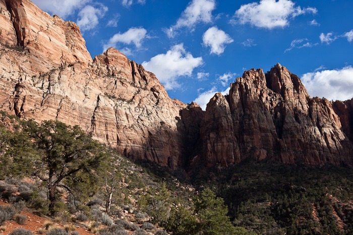
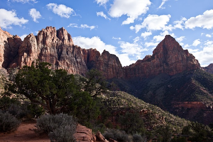
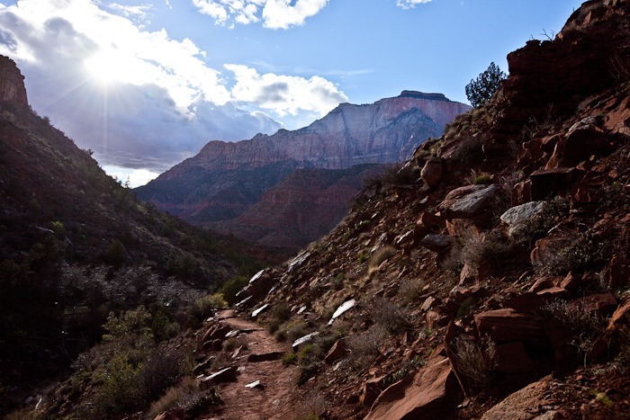
Day 238: Death Valley, Day 3

This morning we drove down to Badwater, the lowest point in the North America at 282 feet below sea level.  We walked out with the ranger onto the salt flats:

Day238_01

Day238_02

Looking back, the “sea level” sign is halfway up the mountain, just right on center in the photograph:

Day238_03

The evaporating water leaves interesting “hairy” salt nodules:

Day238_04

Farther out the salt flats form ridges around hexagonal flats a few feet across:

Day238_05

Day238_06

Day238_07

Day238_08

More hairy salt:

Day238_09

Day238_10

The sea level sign well above us:

Day238_11

After lunch, Dad and I went in search of USMM 46, a marker he has wanted to find for some time, seen here on the right side of the map:

image

We started to hike in that direction, having to cross a number of dry washes:

Day238_12

Day238_13

Day238_14

Day238_15

Day238_16

We finally reached mineral marker 46:

Day238_17

From there, we walked towards some mines indicated on the map.  The opening on the North side of the mountain was in a cliff face, so it’s probably the exit hole of a passage on the other side of the mountain.  We continued around the mountain is an attempt to find the entry holes.

Day238_18

Day238_19

It looks like there was a good bit of surface mining here:

Day238_20

Is this ore waiting to be hauled out, or piled up tailings?

Day238_21

Day238_22

Day238_23

Continuing around the mountain, we found a pair of entry holes that have been sealed with expanding foam to keep out explorers:

Day238_24

Day238_25

Day238_26

Less than 30 miles away, Telescope Peak rises over 11,000 feet over Death Valley:

Day238_27

Fossils keep watch over the valley:

Day238_28

Day238_29

Day238_30

This shrub has been taken over by an orange parasitic plant.  Mistletoe, perhaps?

Day238_31

Day238_32

Day238_33

Once back at the truck, we drove back to the campground:

Day238_34

After returning from our hike, I rode from the campground at –100 feet to 2000 feet above sea level about 12 miles away from the valley.  Along the way I passed Zabriskie Point:

Day238_35

Day238_36

The end of the ride:

Day238_37

Day238_38

Day238_39

Meanwhile, back at the ranch, Trish, David, Leisl, and the cousins went for a horse ride:

Day238_40

Day238_41

Day238_42

Ah, the fresh air out on the range:

Day238_43

Day238_44

Day238_45

Day238_46

Day238_47

Day238_48

Day238_49

I’m not sure when the busy season is here, but it’s not now:

Day238_50

Day238_51

Day 237: Death Valley, Day 2

This morning we drove into Death Valley.  Our first stop was Scotty’s Castle.  We took a tour with a Park Service interpreter.  Much of the tour revolved around Death Valley Scotty, who swindled Albert Johnson but was befriended by Johnson despite his deception.  The two of them built this mansion in the desert:

Day237_01

Day237_02

Day237_03

Day237_04

Day237_05

Day237_06

Day237_07

Day237_08

Day237_09

Day237_10

Day237_11

Day237_13

Day237_14

Day237_15

Day237_16

Day237_17

Day237_18

The generator room kept all this opulence afloat:

Day237_19

We then drove to Ubehebe Crater:

Day237_20

The jumping cousins photo:

Day237_21

Since we were so close to it, we left the RV at Ubehebe Crater and drove the 27 miles over dirt road to The Racetrack, a formation I had always wanted to visit.  On the way we passed Teakettle Junction:

Day237_41

In the distance, The Racetrack, a vast, dry lakebed:

Day237_40

We walked out to The Grandstand:

Day237_22

Day237_23

Day237_24

View from The Grandstand:

Day237_25

Day237_26

Day237_27

The playa goes on forever:

Day237_28

Day237_29

Day237_30

So much for our brand new clean truck:

Day237_31

We drove to the South end of The Racetrack.  Looking North, we could see the mirage reflection of The Grandstand in the distance:

Day237_32

The South end of The Racetrack is home to the mysterious “Sailing Stones”.  The stones leave tracks that indicate they move, and researchers are still trying to understand what allows these rocks to roam the playa:

Day237_33

Day237_34

Day237_35

Day237_36

Day237_37

Day237_38

Day237_39

Behold our dusty trail as we return to the RV:

Day237_42

On our way to the campground, we pulled off the road for a sunset photograph:

Day237_43

Day237_44

Once we settled into our campsite, we prepared a cake for Bubbe’s birthday:

Day237_45

Day 209: Zion, Day 3 – New blogs, Hiking, and Biking

We’ve added a blog for Trish and M, they are listed in the Menu above, please take a look!

image


image

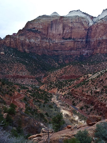
This morning I got out for a 20 mile ride that included an 800 foot vertical climb up Highway 9 to the Eastside Tunnel.  You know it’s a good climb when multiple legs of the road can be seen in the same photo:

Day209_01

On the way up I was treated to a great view of Zion Arch:

Day209_03

On the way back to the RV, I stopped in at South Campground and met Mike of LightCurve.com.  I’ve been following his blog for some time now, so it was nice to meet him and his dog Blue in person!

After lunch, we hiked up a local hill to look down canyon:

Day209_04

Next, we hiked the Watchman Trail, which leads to an overlook:

Day209_05

Day209_06

Day209_07

Day209_08

The weather got a little ominous:

Day209_09

Day209_10

Day209_11

Day209_12

We were rained on for 15 minutes or so, but then the sun came back out:

Day209_13

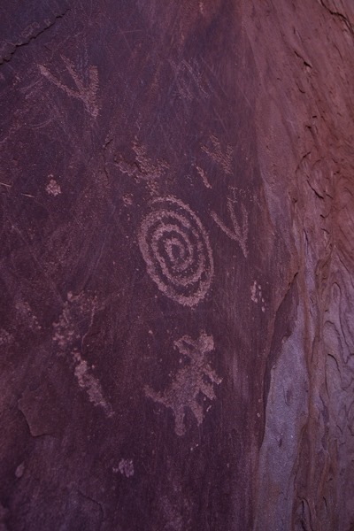
After completing the hike, we drove to a petroglyph site that Mike had recommended:

Day209_14

Day209_15

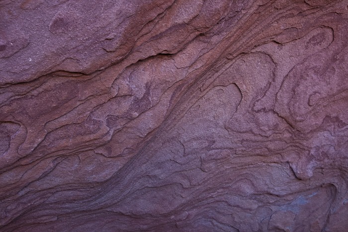
Yummy rock texture:

Day209_16

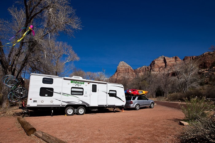
Tonight we had a campfire and roasted hot dogs.  Tomorrow we will be leaving Zion through the East entrance.  The width limit for going through the tunnel without a pilot car (and paying a fee) is 7’ 10”, and we’re 7’ 9.75”, so it will be interesting to see if we’re let through.

Day 208: Zion, Day 2 – Birthdays, Hiking, and Ghost Towns

This morning we had a birthday party for B.  She asked for a cake for every year, so we obliged as best we could:

Day208_01

Day208_33

Day208_34

Day208_35

Day208_02

It’s another beautiful day in Zion National Park:

Day208_03

After homeschool, we drove out of the park to visit Grafton, a Mormon settlement on the Virgin River abandoned in the 1940s:

Day208_36

Day208_04

Day208_05

Day208_06

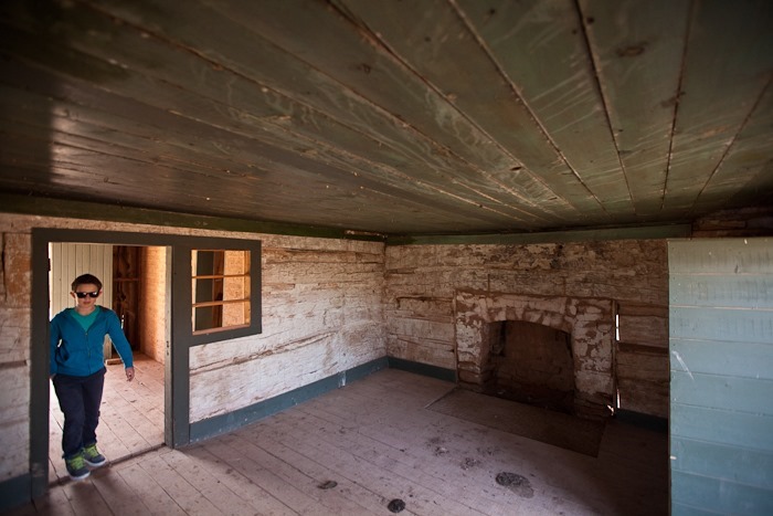
Either people were shorter back then, or they ducked when they went through doorways:

Day208_07

Day208_08

Day208_09

Day208_10

Day208_11

After Grafton, the kids received their Zion Junior Ranger badges:

Day208_37

We then drove up-canyon to the Emerald Pools trailhead and started hiking:

Day208_12

Day208_13

Day208_14

We reached the lower pool pretty quickly:

Day208_38

Day208_39

Day208_15

We then continued up on the upper pool trail:

Day208_16

Day208_40

Day208_41

Day208_17

Day208_18

Day208_19

After some climbing, we reached the upper pool:

Day208_42

Day208_20

Day208_21

Day208_22

Day208_23

Day208_24

Day208_25

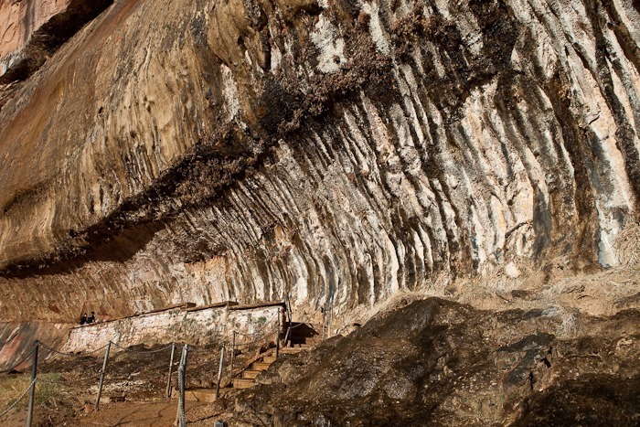
Viewing the lower pool overhang from above:

Day208_26

Day208_27

Zion is just amazing!

Day208_28

Day208_29

Day208_30

By the time we got back to the RV, the sun had set:

Day208_31

Not a bad view from the campsite across from us:

Day208_32

Originally we were going to leave tomorrow, but we’ve decided to stay here tomorrow night as well and leave on Wednesday.

Day 207: Zion National Park, Day 1

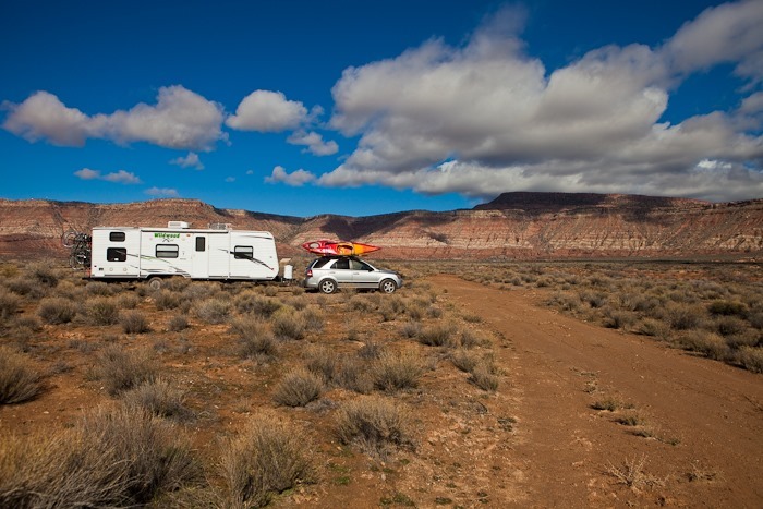
Shabbos at our dispersed camping site North of Virgin, Utah was at times rainy and very windy.  Sunday morning brought nicer weather:

Day207_02

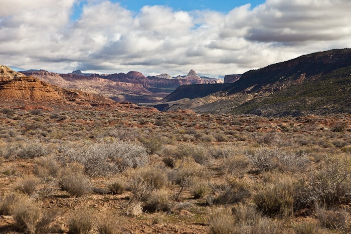
The views from this spot are amazing:

Day207_03

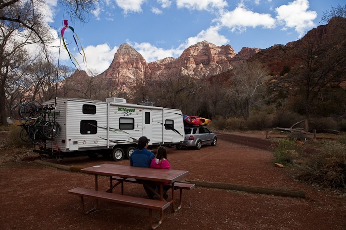
We drove 20 minutes East into Zion National Park and secured a campsite in Watchman campground.  $18 a night buys a site with electricity and even WiFi!

Day207_04

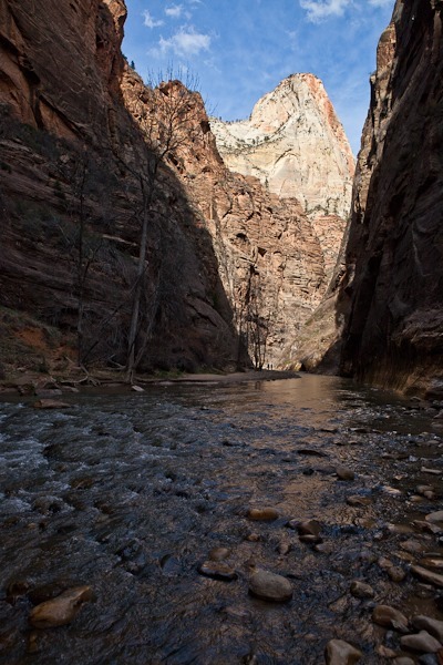
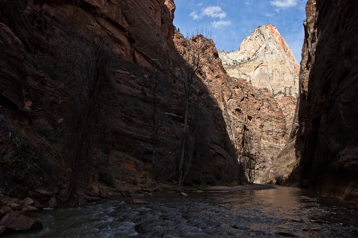
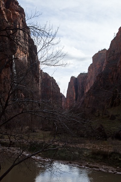
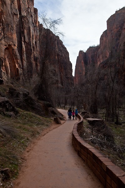
After piking up Junior Ranger workbooks and touring the visitor center, we drove out to the end of the park road and hiked the 2 mile round trip paved trail to the beginning of the Narrows:

Day207_06

Day207_07

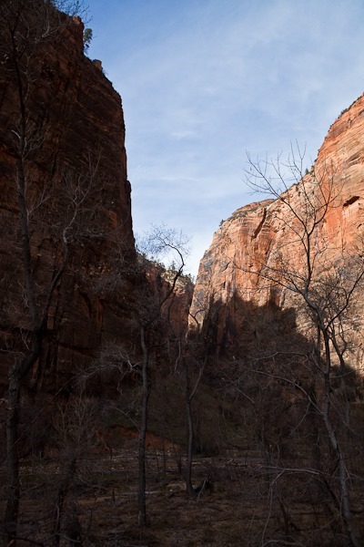
Saturday’s rain created temporary waterfalls from the canyon walls towering above:

Day207_08

Day207_09

Day207_10

Before long we reached the beginning of the Narrows.  Continuing would require hiking in the river:

Day207_11

Day207_12

Day207_13

Day207_14

Many of the views in Zion remind me of Yosemite:

Day207_15

The GPS track isn’t very accurate because we were in the canyon.  Our walk there and back was in fact on the same trail.

We stopped a couple times to photograph the amazing terrain:

Day207_17

Day207_19

Day207_20

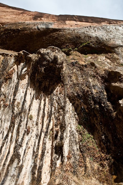
Next we drove South and hiked the short but steep Weeping Rock trail.  Rainwater seeps through the sandstone and is then forced out of the rock face when the water hits an impenetrable shale layer: 

Day207_21

Day207_22

Day207_23

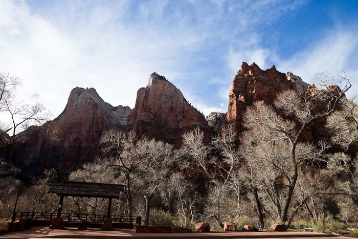
The Three Patriarchs:

Day207_24

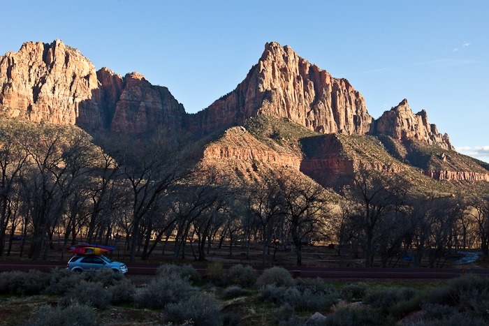
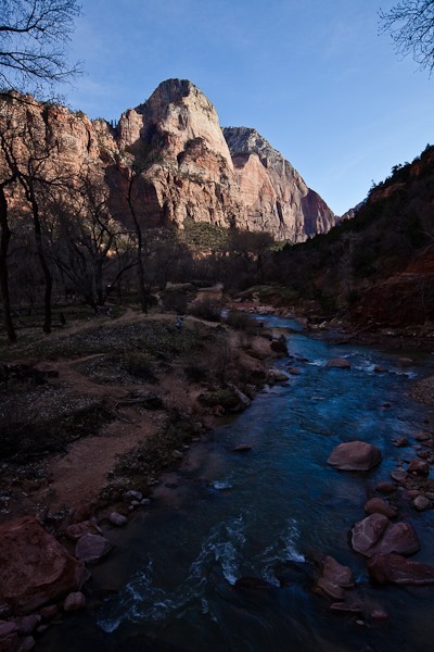
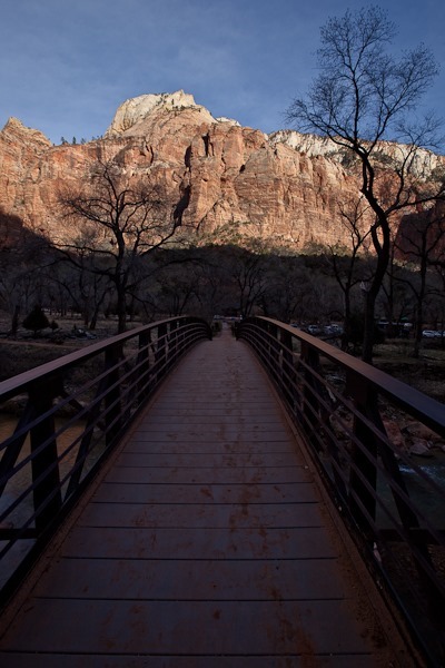
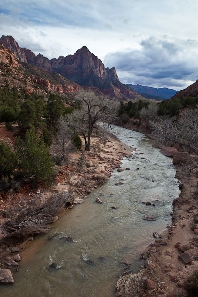
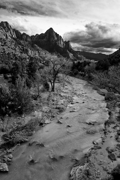
The Watchman over the Virgin River:

Day207_27

Day207_27-2

Day207_28

More Zion adventures tomorrow!