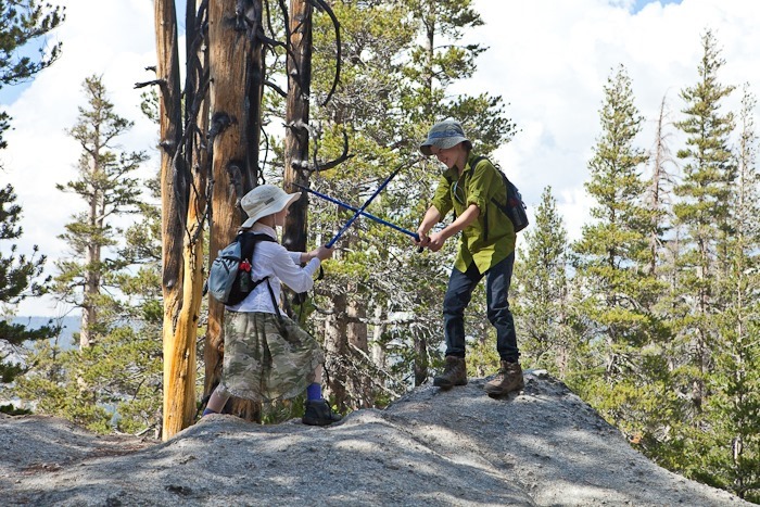
In the morning, we were supposed to attend a Junior Ranger hike leaving from Lembert Dome. We got there a bit late and couldn’t find the ranger, so the kids scrambled up the face of Lembert dome as high as they could go before it became too steep:
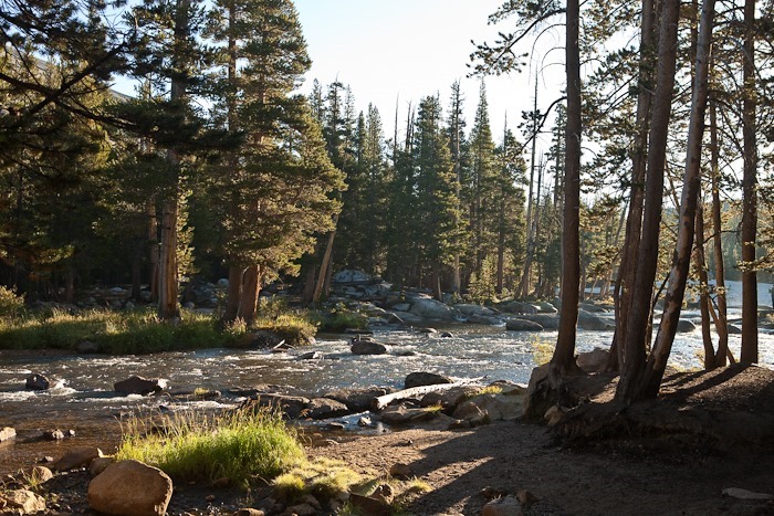
In the afternoon we took a short hike to the twin bridges across the Tuolumne River near Tuolumne Lodge:
A deer came down to say hello:
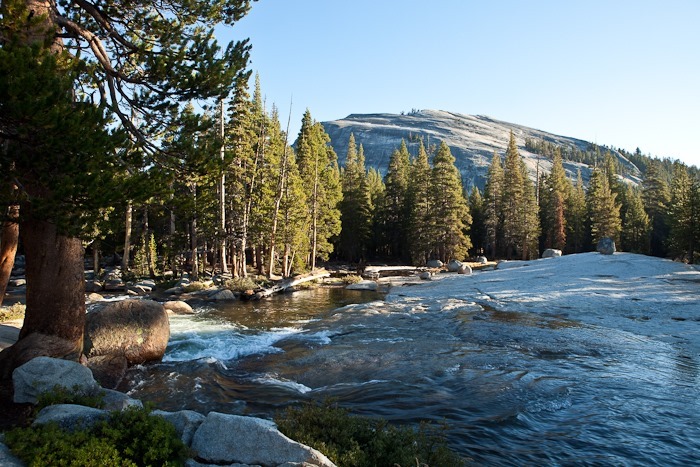
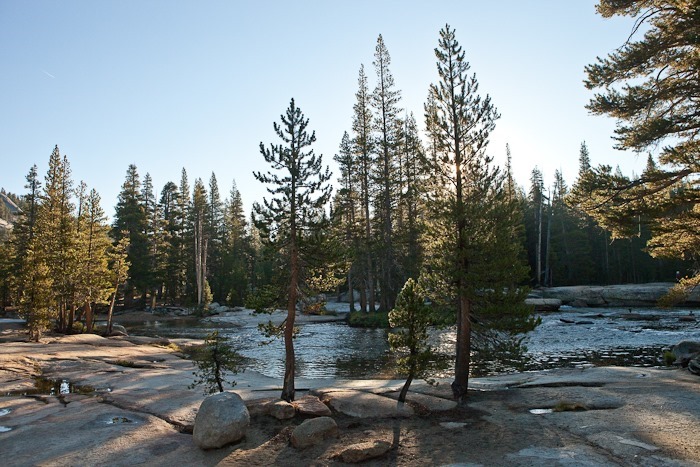
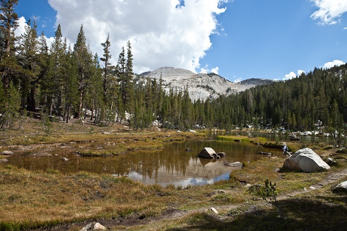
It goes without saying, but it is so beautiful here:
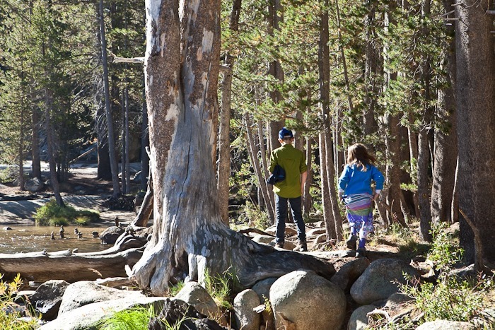
We decided to climb Lembert Dome today. We hiked out of the campground and across the Tuolumne River where the kids practiced their rock skipping:
Lembert dome in the distance. We’re going to climb that!
Erratics under The Unicorn (left) and Cathedral Mountain (right):
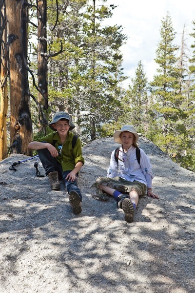
Seems like we have lots of “taking a break” photographs:
Eventually we cleared the trees and began our ascent of the dome:
Looking West towards Tioga Pass:
At last we summited the dome. While it wasn’t too steep where we were standing, the dome falls away to sheer cliffs in all directions except the way we came up, so an unarrested fall would have a fatal outcome. Several times we sat down to settle our shaking knees.
The massive Rim Fire could be seen in the West. Some days, when the winds blew our way, the air would smell of smoke and visibility would be half a mile or so. Pretty amazing considering it was 50 miles away:
Tuolumne meadows from the summit:
We all breathed a sign of relief when we came down off the dome. We came down via the Eastern trail to Tuolumne Lodge. Then it’s a dusty hike back to the campground:
In the morning, we joined a Ranger program on Pothole dome called “Fire and Ice” that talked about the glacial and volcanic processes that created Yosemite.
Ranger Mike handed out magnifiers and we inspected the granite to identify its components:
The dikes, volcanic material squirted up through cracks in the stone, were interesting:
Wherever a crack forms and water is trapped, Lodgepole Pines take root:
The unicorn on the distance:
There were quite a few glacial erratics, blocks of stone carried by the glaciers and left behind when the glaciers melted away. The erratic below is the size of a washing machine:
In the afternoon, we went for a bike ride. Everyone rode together for the first five miles:
Trish took the kids back and I continued on for a total of 15 miles out and back.
There were great views at Olmstead Point. Half dome (from the opposite angle from the common view from Yosemite Valley) is on the right:
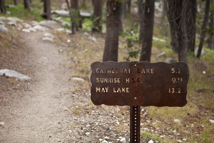
After breakfast, we decided to hike to Elizabeth Lake at the foot of The Unicorn:
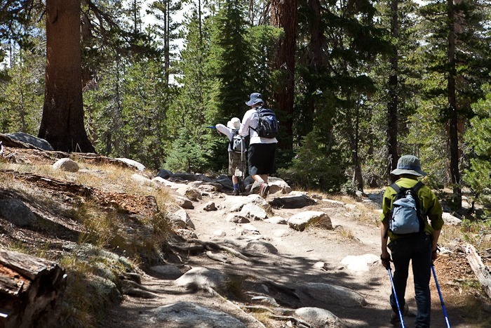
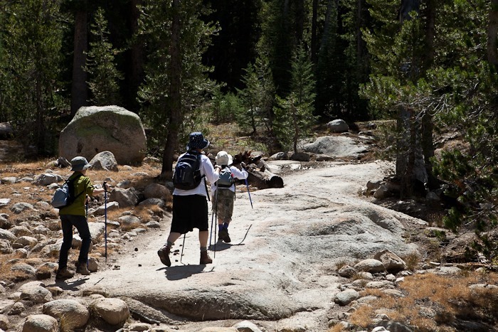
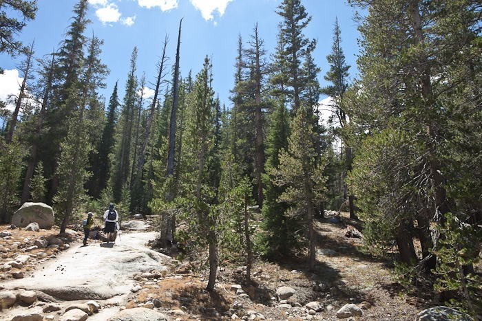
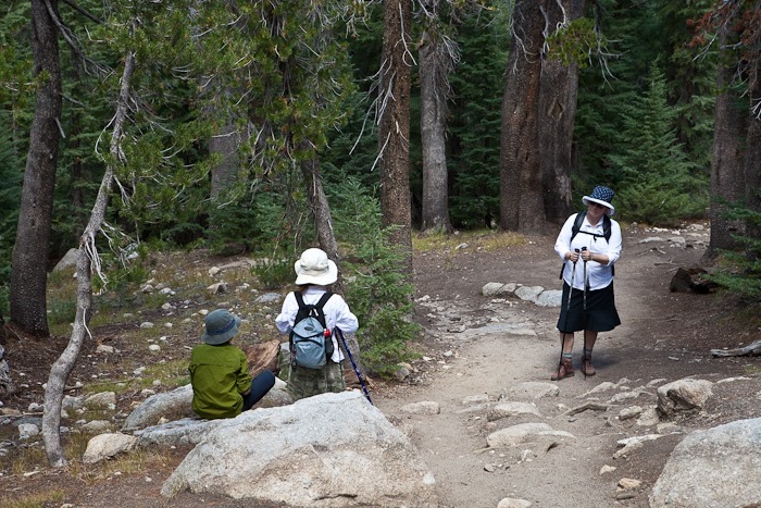
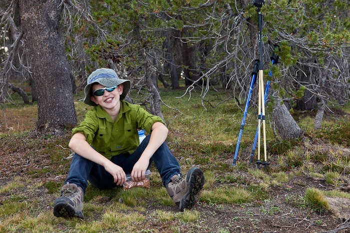
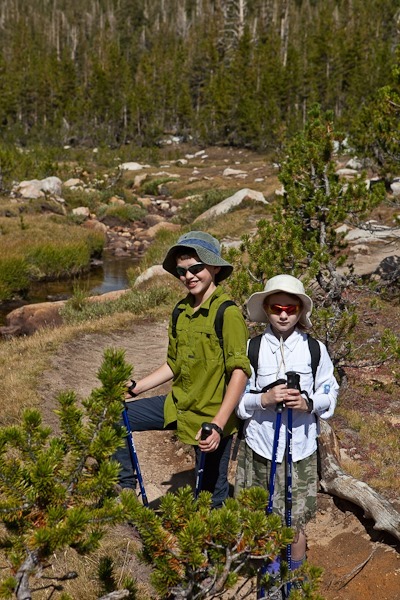
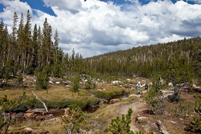
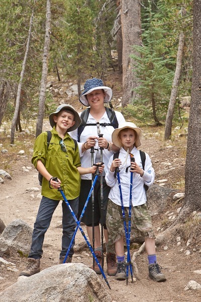
The hike up is pretty steep, so we took lots of breaks:
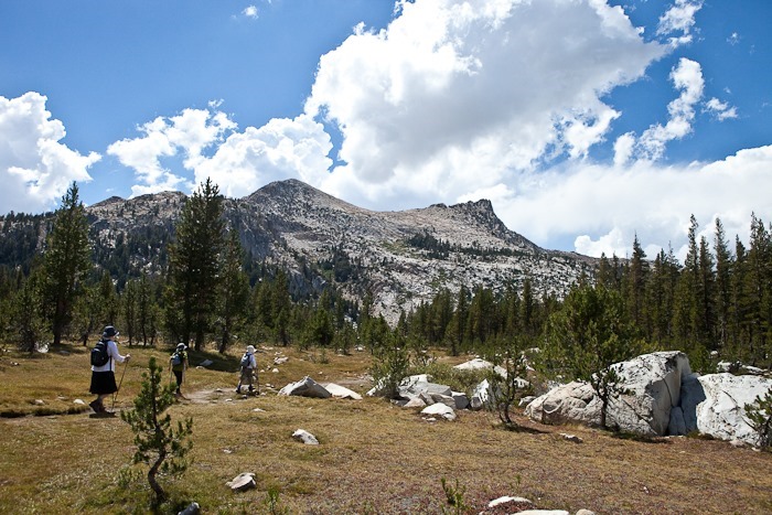
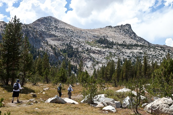
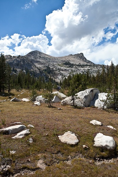
Ahead, The Unicorn loomed:
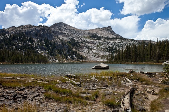
At last we arrived at the lake:
We decided it would be too much to climb The Unicorn, and I had already climbed to the rump (on the left) in ‘99, so we hiked over to the other lobe of the lake and then back down:
On our way down, I crouched on a rotting log to get a photo of a stump. A cloud of wasps came out, and I was stung. We moved down the trail a few hundred yards but a wasp must have already worked its way into our son’s shirt and he was stung as well. Gotta watch where you stand!
This was a great introduction to the high Sierra for the kids. Our son said “this is way better than Harrmian (state park, near our home)”
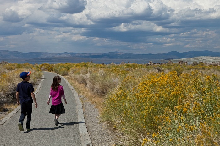
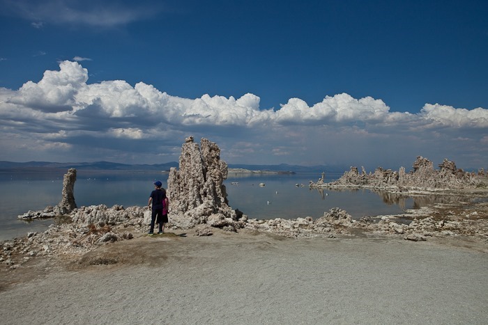
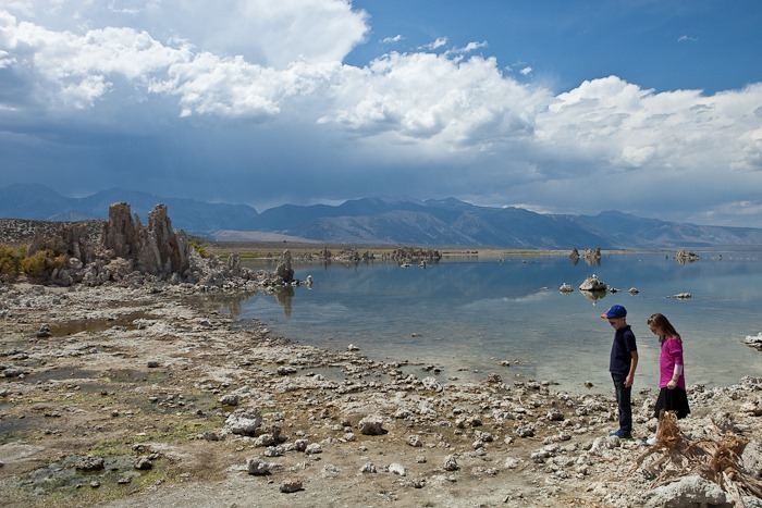
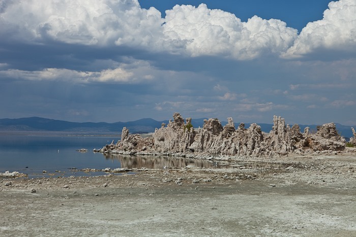
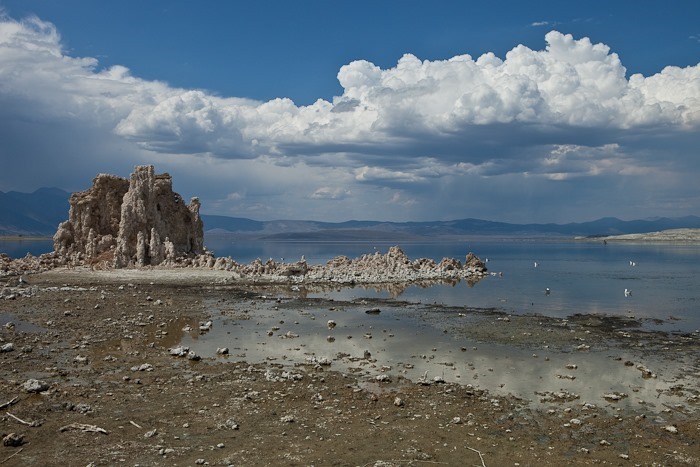
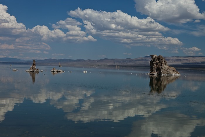
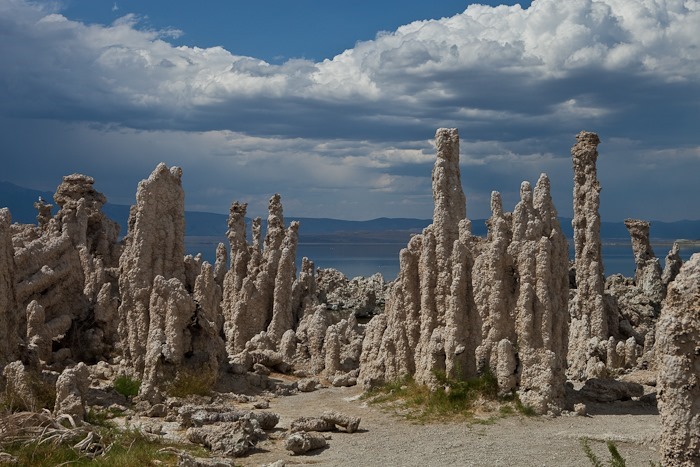
After stops for gas and groceries in Tonopah, as well as a quick tour of the mining museum, we headed West towards Yosemite. We dropped down to 1st gear for the climb out of Benton Crossing into the Inyo National forest. On our way to Lee Vining and Yosemite, we stopped on the southern shore or Mono Lake to admire the Tufa formations, formerly underwater structures formed when underwater springs injected calcium rich water into Mono Lake’s carbonate rich water, forming calcium carbonate towers. As the water level receded, thanks to diversion of inlet streams to San Francisco, the tufa structures became exposed.
Mono Lake has no outlet, so the water is very mineral rich and twice as salty as ocean water. The black line below is Alkali flies on the water, one of the few creatures than can survive in these salty waters:
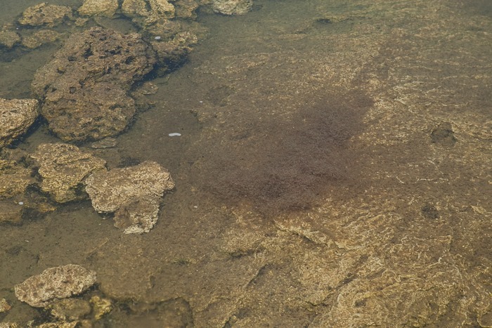
We also saw brine shrimp blooms underwater. The shrimp and flies support the bird population that call Mono Lake home:
After leaving the tufa site, we visited the Inyo National Forest visitor center where we learned about the lake and the kids received their Junior Ranger patches. We could see a wildfire burning near Bodie in the distance. Permits are available to kayak out to and camp on some of the islands on Mono Lake, something we would like to try in the future.
Leaving Mono Lake we ascended the 6 miles of 9 percent grade to Toiga Pass, the eastern gateway to Yosemite. It was 1st gear all the way at 30 miles an hour. I once pulled over to allows cars by, and was barely able to get my engine RPMs enough to get going again. Lesson learned!
We pulled in to the campground shortly before dark. Tomorrow, our adventures in Yosemite begin!
We drove 155 miles today. See the trip map for today’s drive and our current location.




 Facebook
 Instagram
 Email
Email