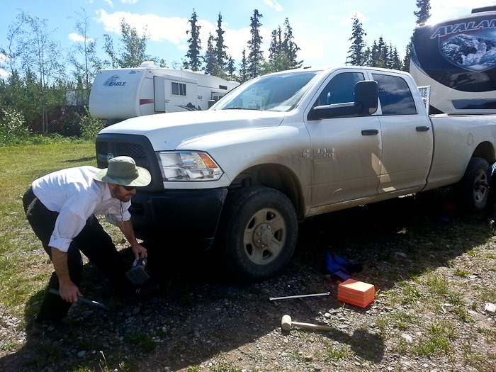
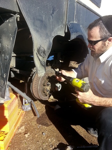
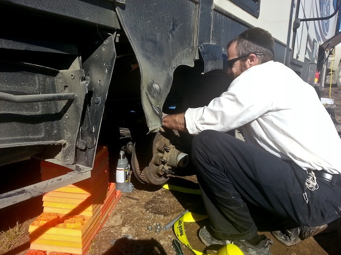
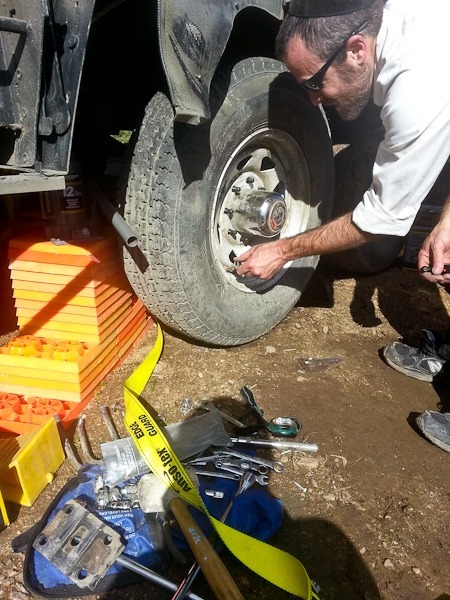
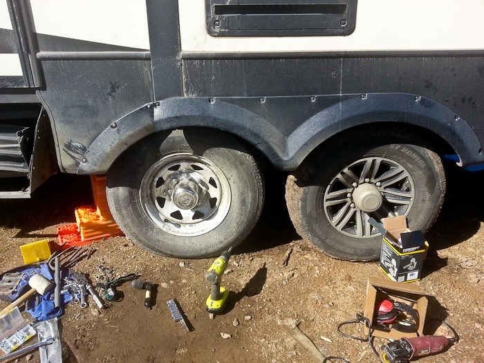
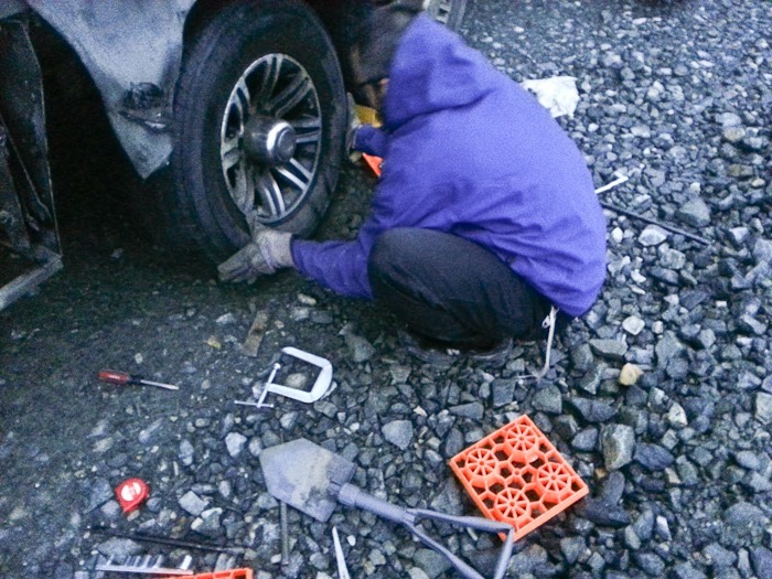
This morning, M and I rotated the truck’s tires with our brand new bottle jacks while Trish and B did some food shopping:
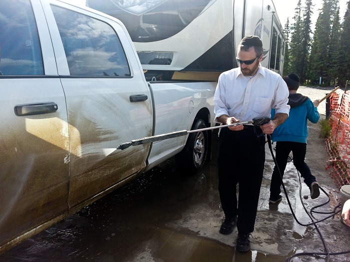
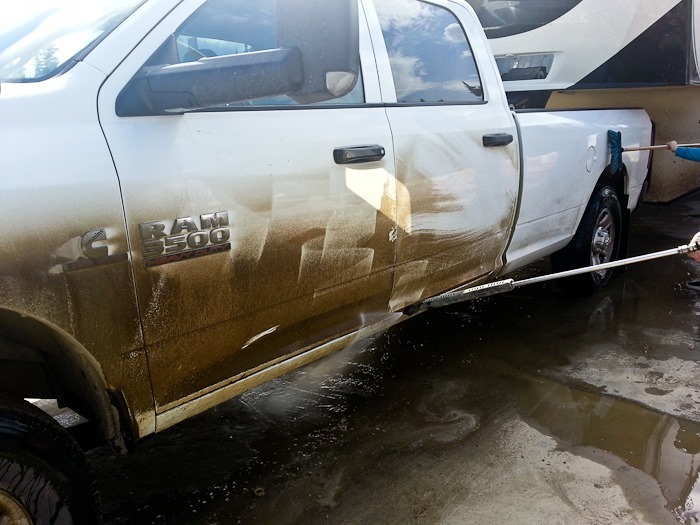
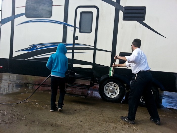
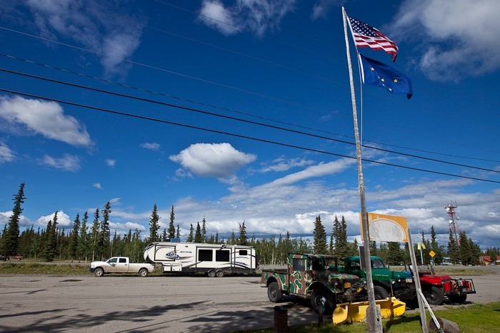
On our way out of Tok, we took advantage of the “free car wash with fill up” at the Tesoro station. After a couple hundred miles of dirt and gravel roads, we really needed it:
Continuing West, we crossed through 144.77 degrees West Longitude, the “Jewish International Dateline”. The secular international dateline is 180 degrees from Greenwich, England, but the most widely accepted international dateline in the Jewish world in 180 degrees from Jerusalem, which is at 144.77 degrees West, about halfway between Tok and Delta Junction. This means that even though it’s still Thursday on the secular calendar, it’s now Friday on the Jewish calendar. Shabbos starts tonight and ends early Saturday morning. Of course, if we continued West for another 45 degrees of latitude, we would cross the secular international dateline and then it would be Friday on all calendars.
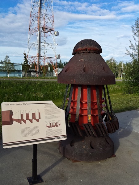
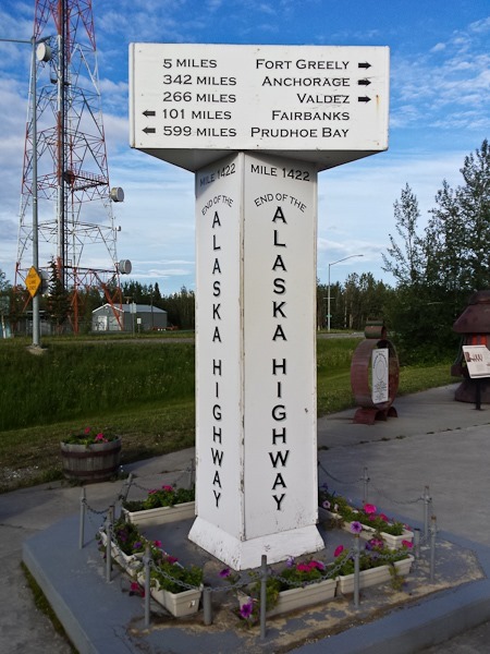
Continuing on, we arrived at Delta Junction, where the AlCan terminated at the pre-existing Richardson Highway. The visitor center there has a pig from the Alyeska Pipeline on display:
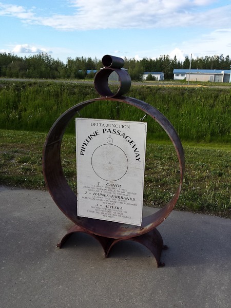
This display shows the various pipe diameters used to carry oil in Alaska. The largest one is the current pipeline from Prudhoe Bay to Valdez:
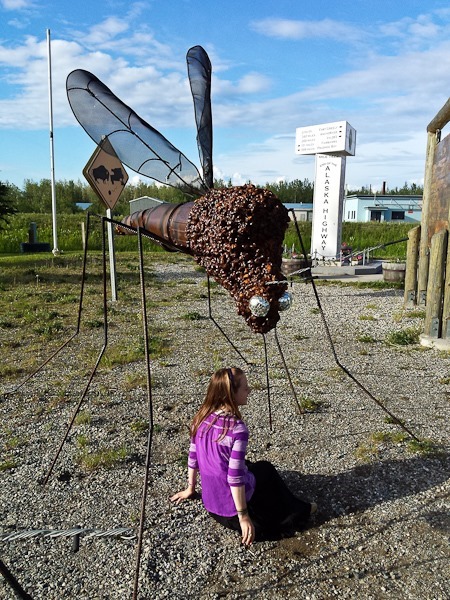
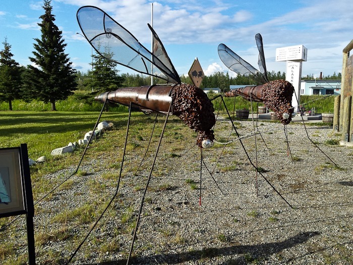
Mosquitos, they do grow them large here:
We planned to stop for Shabbos at Quartz Lake, but it was quite full for the 4th of July weekend, so we continued on for another 10 miles or so and stopped at a secluded pull-off. Good Shabbos from the Richardson Highway between Big Delta and Fairbanks! See the trip map for driving details and our current location.
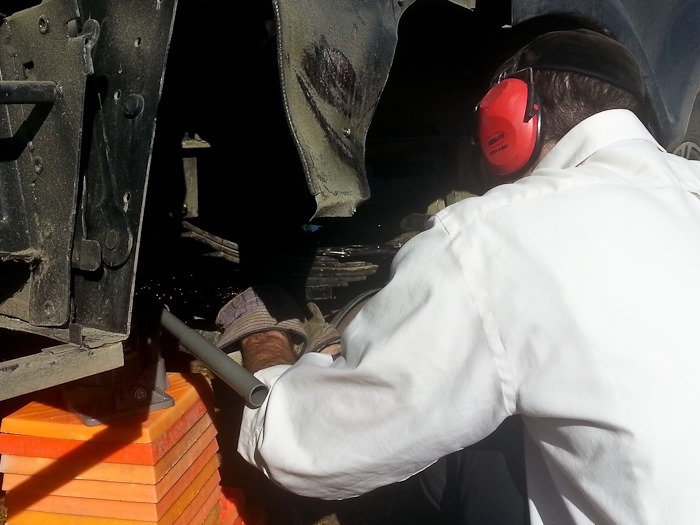
This morning I got to work remounting the axle. With two sturdy jacks and the necessary replacement parts, the repair only took a couple hours:
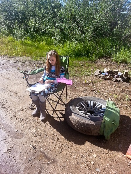
B did her homeschool outside:
Once the spring bolt was installed, I cut it to length with my angle grinder:
The next step was to jack the axle up under the springs and secure it with the axle bolts:
Since the tire had been badly chewed up when the axle failed, I swapped in the spare:
All done! I also fixed the trim piece right behind the wheel. All that’s left now is bending the stairs back and fixing the trim that was crushed by the stairs being pushed back.
We hitched up and drove West on the Taylor Highway, a barely two-lane gravel and dirt road with thousand-foot drop offs in places and no guard rails. After about 30 miles, we reached the “town” of Chicken, Alaska:
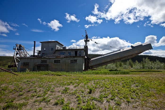
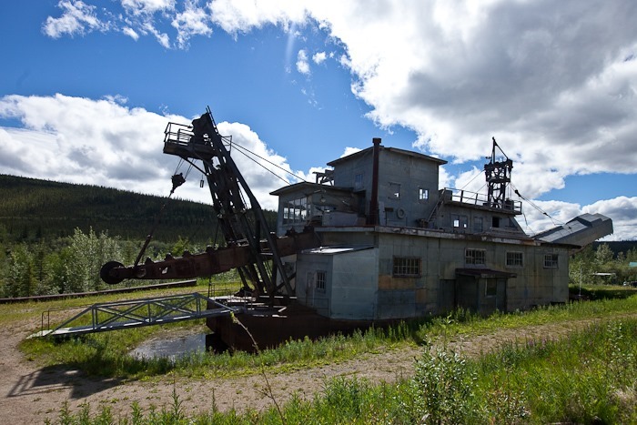
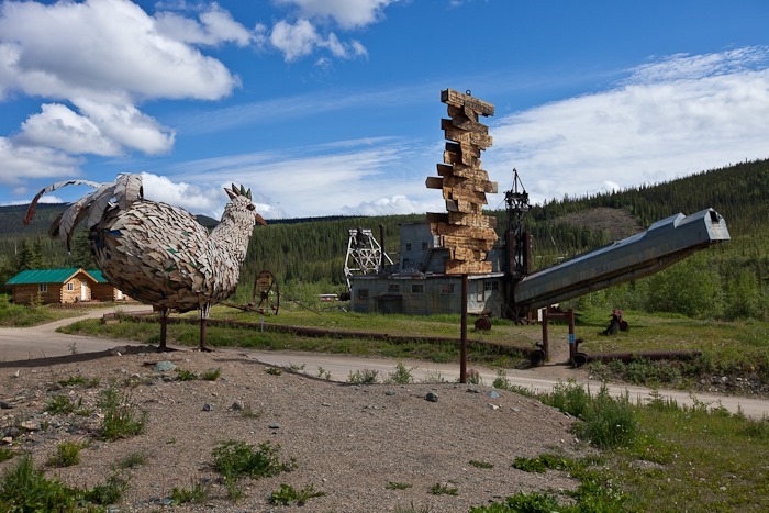
In addition to its seven residents, Chicken is also the final resting place of the Pedro Dredge, a smaller version of Dredge #4 in Dawson City:
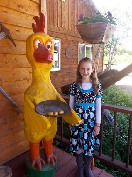
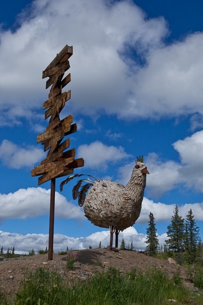
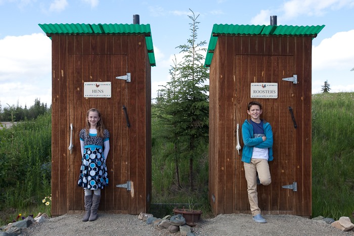
More Chicken-themed kitsch:
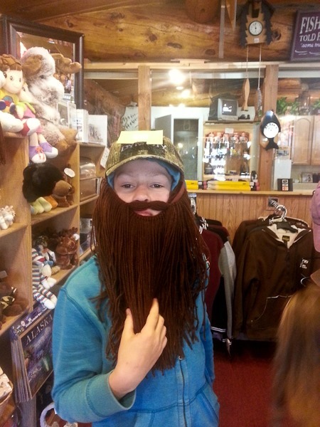
Duck Dynasty? I’ve Never seen it.
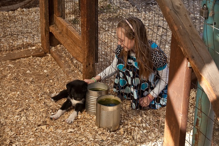
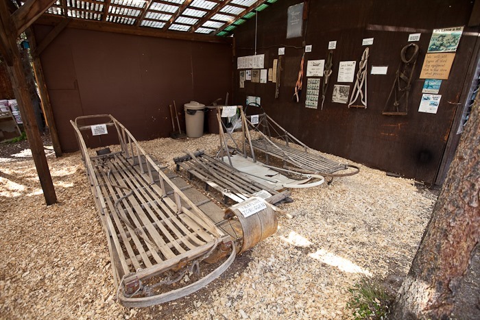
The Taylor Highway is paved after Chicken, and we arrived in Tok without incident. One of the local motels has an enclosure with Husky Puppies as well as dog mushing paraphernalia:
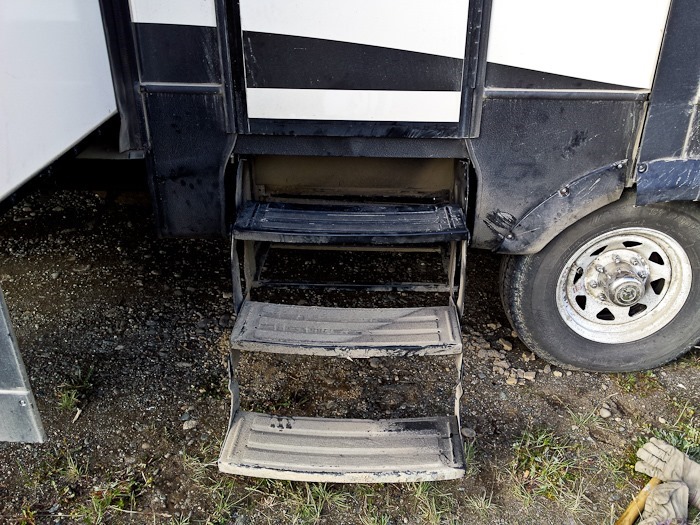
While Trish did the laundry at a local campground, I straightened out the stairs and trim panel bent by the axle failure:
Tonight we’re overnighting behind the local Chevron station, pulling WiFi from the Tok Library. See the trip map for driving details and our current location.
I spent all day driving the 3 hours to Tok, Alaska and back to the RV at Wade Junction. While in Tok, I bought jacks at the Napa auto parts store, replacement axle bolts and spring bolts at the local RV service center, groceries, and stopped at the post office to pick up a package that DiAnn had mailed to us via general delivery in Tok. I am very happy to be back in the land of gallons and cheap(er) diesel:
Meanwhile, back at the RV, the kids were working on the flags of Africa:
This is the third continent they have done:
They also built a remote controlled crawler using Lego and LittleBits:
Tomorrow, I’ll fix the RV’s suspension and we will head into Tok.
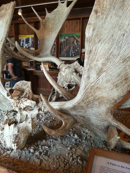
In the visitor center, a pair of moose skulls were on display. Biologists suspect that the pair became tangled with one another while sparing, and died of starvation. This is all that was left by the time they were found:
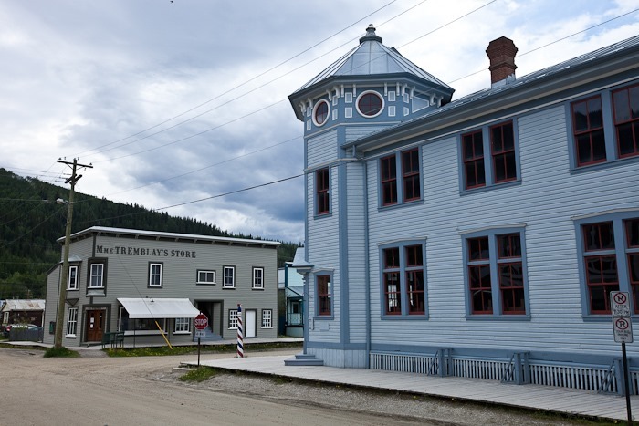
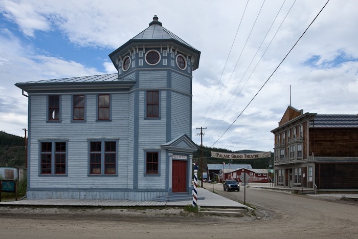
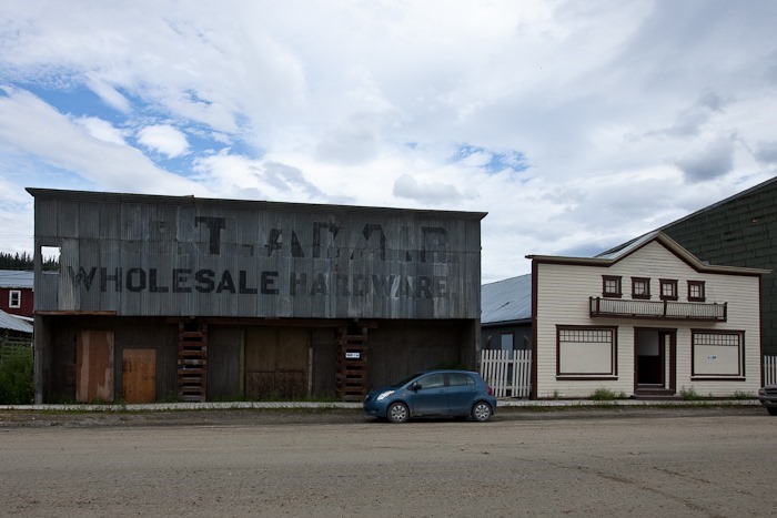
We walked around the town of 1,300 people, admiring many of the original buildings still standing:
The post office:
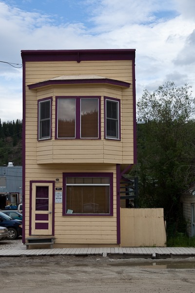
Some buildings are really small:
Some of the buildings were in pretty bad shape. This is what happens when permafrost melts under half of a building’s foundation but not under the other half:
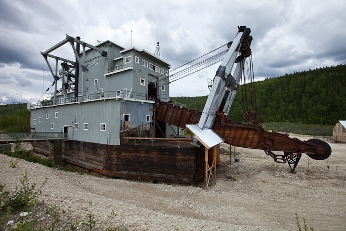
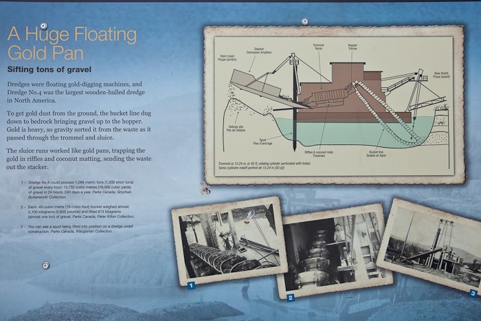
We left the RV in town and drove to Dredge #4, the largest wooden-hulled bucket dredge in North America. The dredge floats in a pond, digs up the dirt in the pond, separates out the gold, and dumps the tailings behind it. Dredge 4 worked until the 50s, and was just recently restored:
One of the buckets used by the dredge:
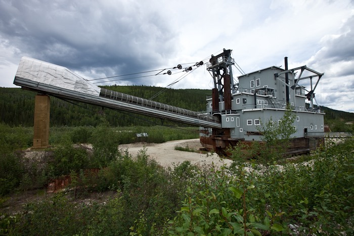
This is the chute through which the tailings were ejected:
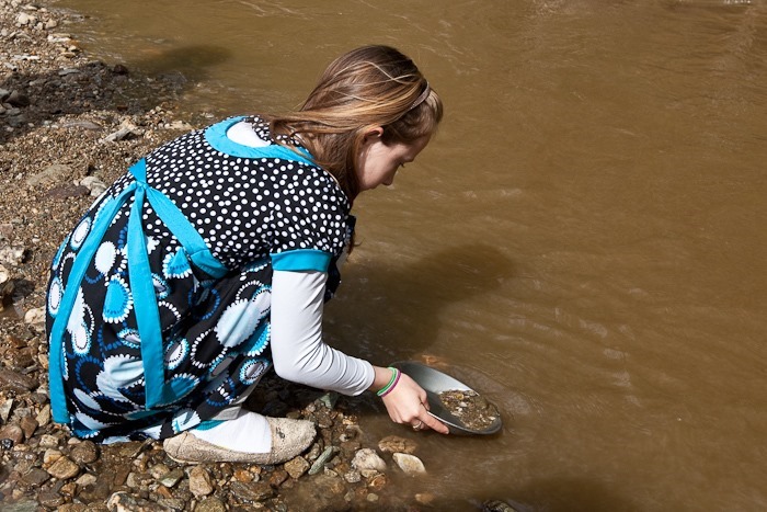
Continuing South, we stopped at Bonanza Creek, where the Klondike Gold Rush began. We did a bit of panning, but did not find any gold, which is not too surprising since this area has already been dredged:
Having read about them as we travelled through the area, B built a family of small Inuksuks:
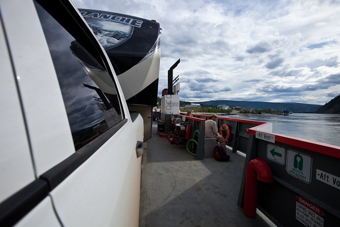
Returning to Dawson City, we drove West out of town on the Klondike Highway but very quickly ran out of road. The only way across the Yukon River at Dawson City is a 12 car ferry that shuttles vehicles back and forth 24 hours a day. We used up one of the two lanes on the ferry, and the other lane had six cars in it:
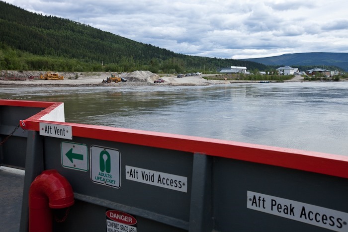
Looking back towards Dawson City as we plowed through the 10 knot current:
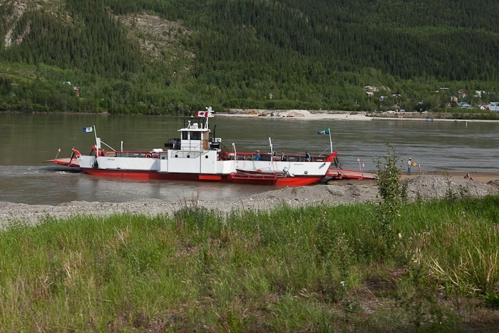
We photographed the ferry as we drove away from it on the far side of the river:
Driving now on the Top of the World Highway, so named because it follows a ridge line, we continued West until we reached the Poker Creek border crossing. It was much easier getting back into the US than it was to enter Canada. After clearing the border, we played the national anthem and teared up bit. Canada has been great for the last two weeks, but it’s nice to be home:
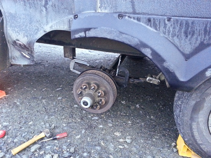
About 10 minutes after crossing the border, I felt a sudden drag on the RV, as if the brakes were on. I pulled over right away to find the rear axle of the RV at a less than ideal angle:
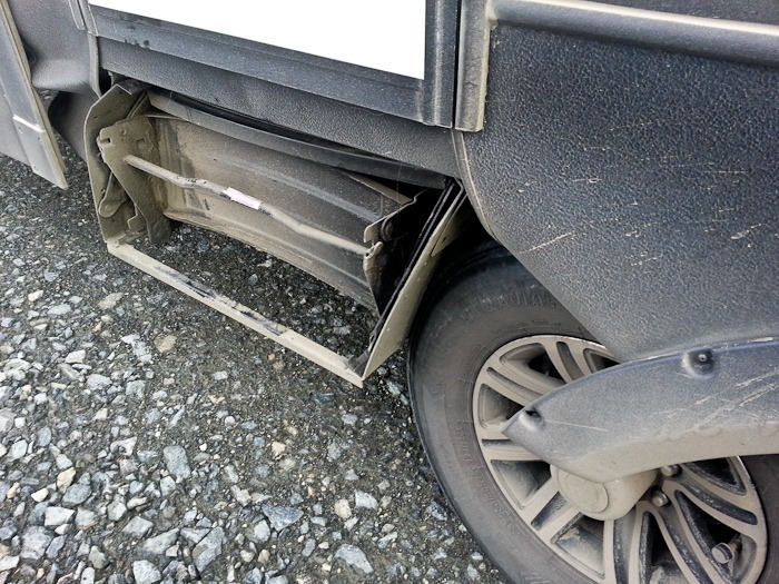
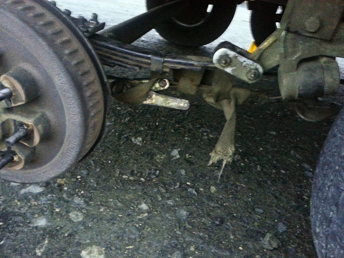
The bolt that holds the springs together had failed, allowing the axle to slide up and back along the leaf spring into the stairs, bending the stairs back and crushing adjacent paneling:
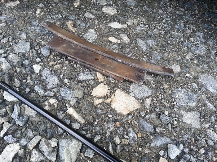
Walking back up the road, I found the missing springs:
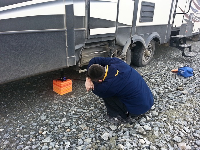
The jack that comes with the truck wasn’t that strong, but it’s all that I had, so I started jacking up the RV:
After a little while, a trucker stopped to see what was amiss:
Since I didn’t have a replacement spring bolt, I clamped the remaining springs together and then pounded the springs that had fallen out in between the spring stack and the axle perch:
The trucker gave me a large strap which I used to hold the rear axle to prevent it from sliding back:
With the axle in its correct, lowered position, I couldn’t get the tire back on, and the jack wouldn’t lift any more weight, so I dug a hole in the ground to allow the tire to be bolted onto the axle:
Thus jury-rigged, we drove very slowly for three miles until we reached a pullout at Jack Wade Junction, the Western terminus of the Top of the World Highway. We arrived at 2:30AM Canadian Time, about 6 hours after the axle failure:
Tomorrow, I’ll drive the 3 hours to Tok, Alaska. We have no phone or wifi up here, but I assume Tok has an auto parts store where I can buy better jacks and replacement hardware to permanently reattach the axle to the RV. See the trip map for today’s drive and our current location.
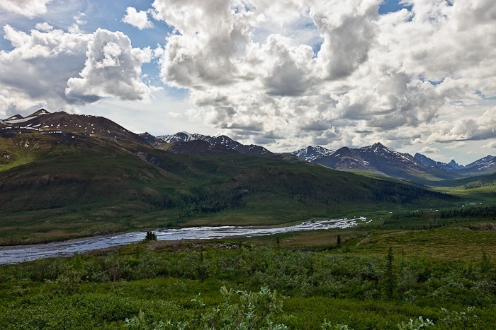
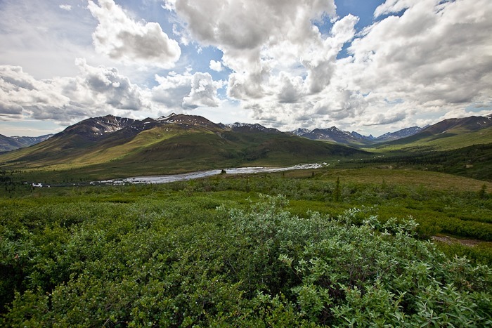
The view from the parking lot was stunning. In Tombstone, the “Patagonia of the Yukon”, Boreal forests give way to Tiaga and then to Tundra:
We left the RV at the visitor center and drove North to an overlook:
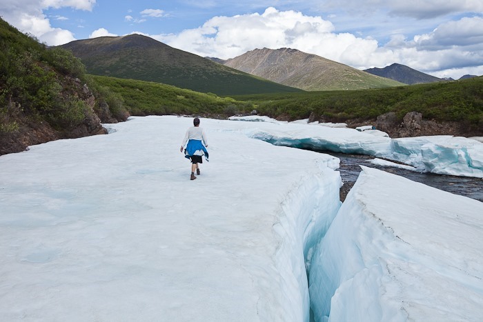
Continuing North, we crossed a river with glacier-like ice formations:
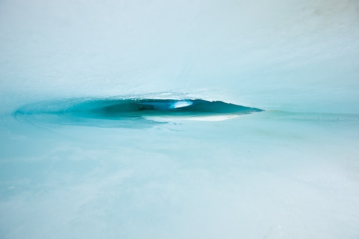
There were ice caves beneath the “glacier” in several locations:
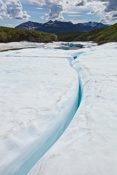
This 6-inch high crack went all the way through to the other side:
More ice caves:
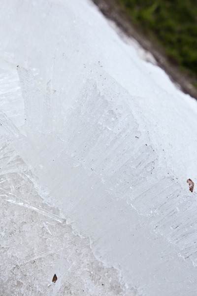
In places, the ice formed 6-inch long fibers that fell off the ice shelf with a little effort:
After continuing North for another 20 miles and failing to see Moose at Two Moose lake, we went for a hike across the tundra. The thawed surface soil site atop permafrost, so when the surface soil thaws there’s nowhere for the water to go. Walking on Tundra feels like walking on a giant kitchen sponge:
Tundra vegitation is only inches high and is primarily mosses and lichens:
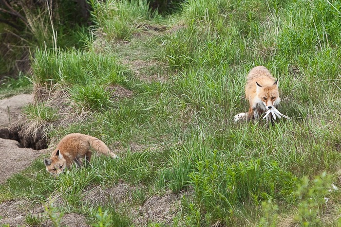
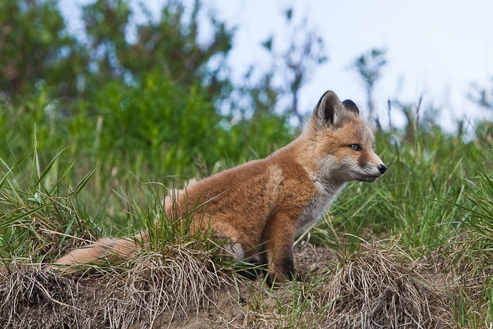
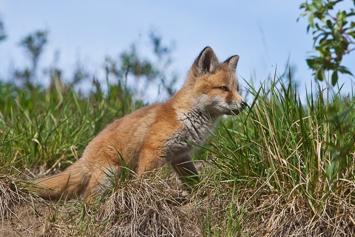
On the way back, we passed a parent and child fox who had caught a ptarmigan:
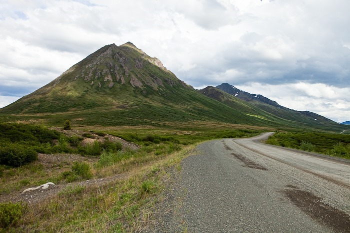
More scenic roadside views:
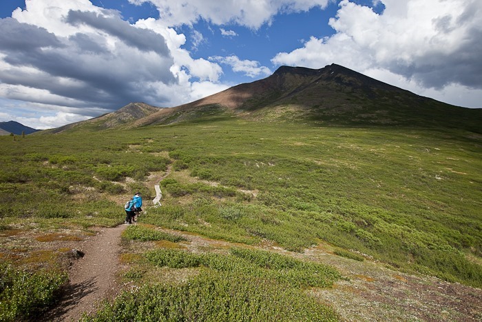
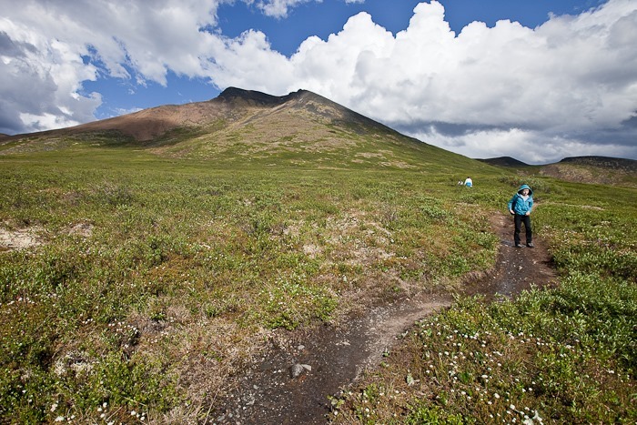
We hiked up to the shoulder of Goldensides Mountain:
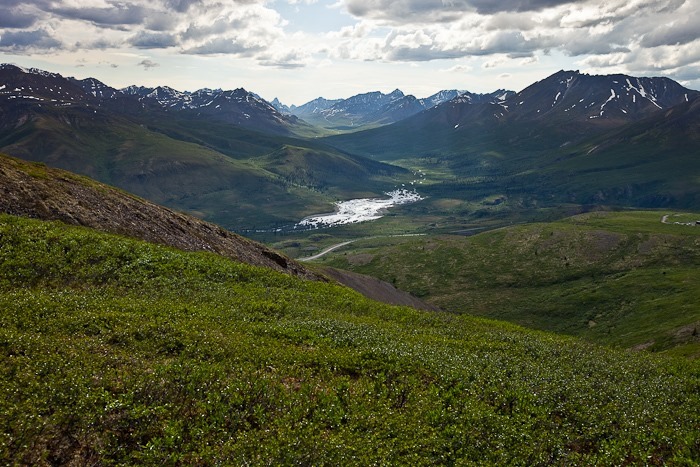
Quite the view from the top:
After the hike, we drove back to the visitor center, showered, had dinner, and decided to overnight in the parking lot, which was OK since the campground was full. Tomorrow we’ll head into Dawson City, where the Yukon gold rush began!




































 Facebook
 Instagram
 Email
Email