Day 324: Land of the 46 Minutes after Midnight Sun

Today we visited the Yukon Territorial government offices here in Whitehorse, the Territorial capital.  The building is about as big as you would expect for the seat of a territory with 37,000 residents:

Day324_02

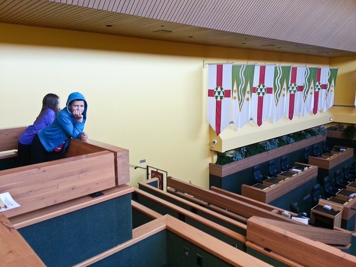
We received a great tour of the Assembly chambers.  The Yukon Territorial Assembly has 19 members, 12 of which are from the majority party.  They meet for 60 days every spring and fall:

Day324_01

Day324_03

In the hall, there was a display about the ceremonial mace, without which proceedings cannot begin:

Day324_04

There was a 20+ pane stained glass mural depicting the history of the Yukon running the lenth of the building.  This is the beginning of the mural:

Day324_05

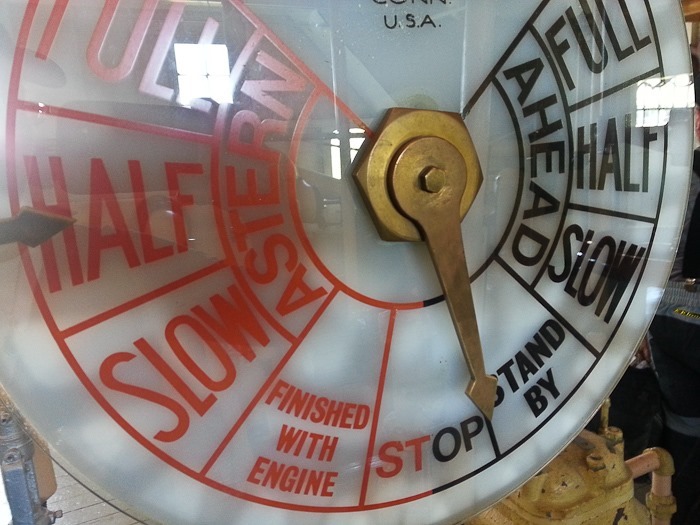
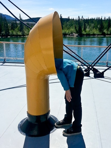
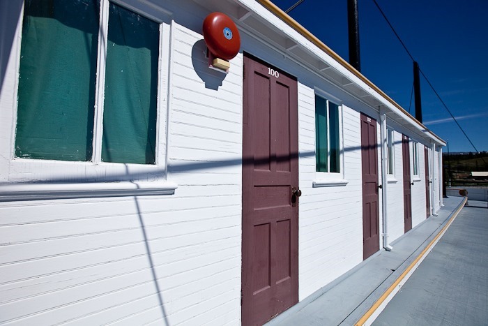
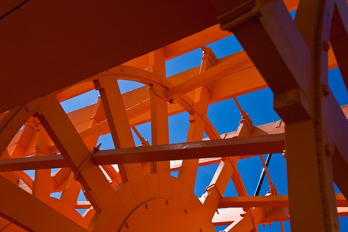
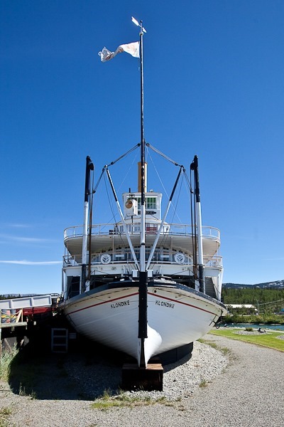
We walked a couple blocks to the SS Klondike, one of the sternwheelers used to carry gold from Dawson City to Whitehorse and supplies the other way:
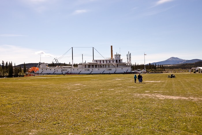
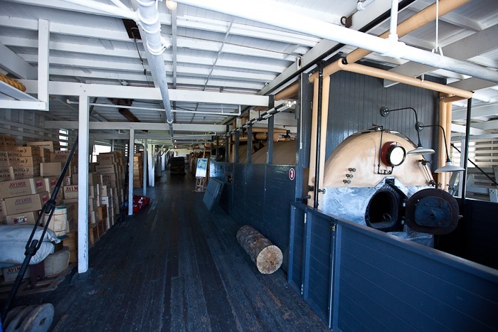
Day324_06

Day324_07

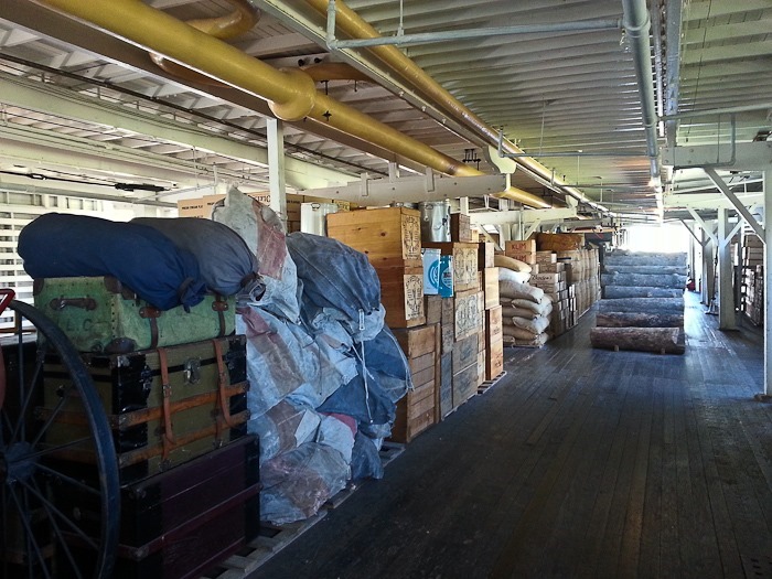
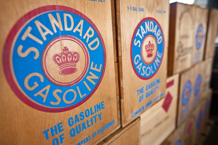
Stacks of simulated supplies:

Day324_08

Day324_09

Day324_10

Day324_11

The SS Klondike had dining and lodging for 24 first-class passengers:

Day324_12

Day324_13

Day324_14

The Yukon rivers flows on by at quite a clip:
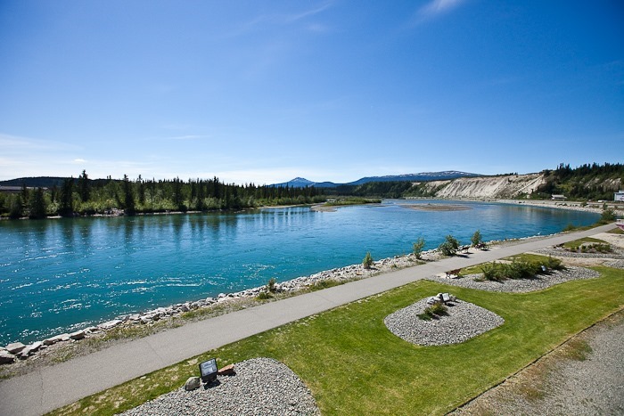
Day324_15

M may have lost his wallet:

Day324_16

Day324_17

Day324_18

Day324_19

Day324_20

Day324_21

Day324_22

Day324_23

Day324_24

Day324_25

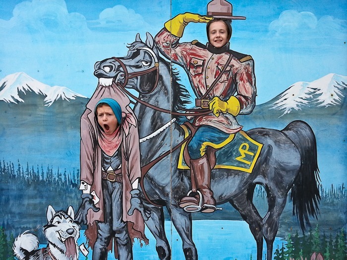
Even Whitehorse has its hoodlums:

Day324_26

Heading North, there were several places to walk down to the Yukon River:
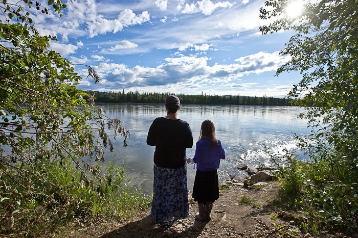
Day324_27

Day324_28

There were butterflies a plenty:

Day324_29

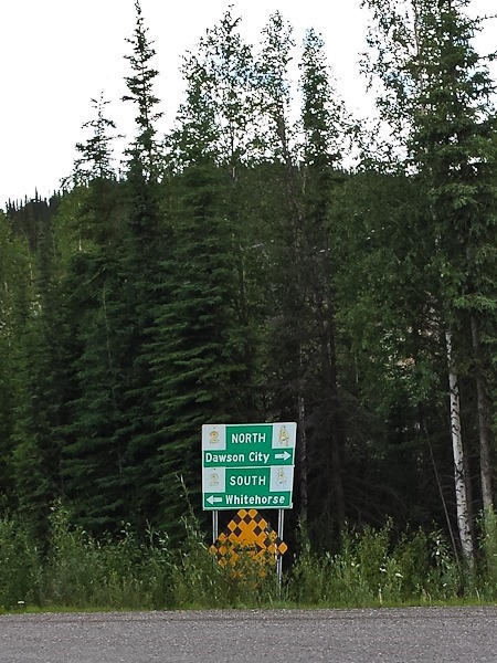
After a few hours driving, we reached the junction with the Dempster Highway, and drove towards Tombstone Territorial Park:
Day324_30

Good thing we filled up on gas at the junction:

Day324_31

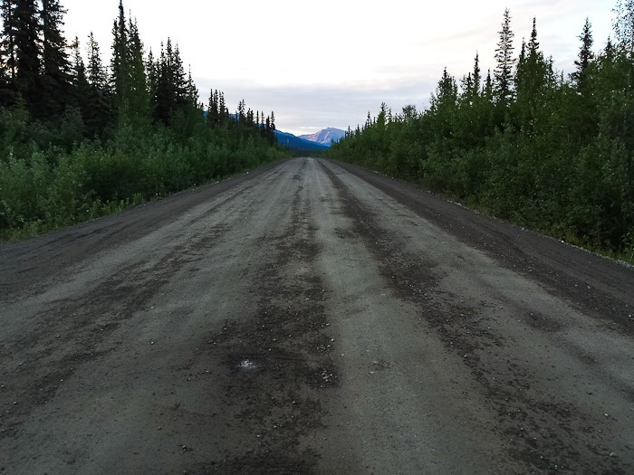
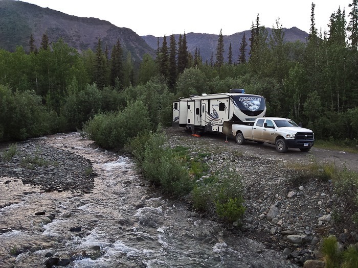
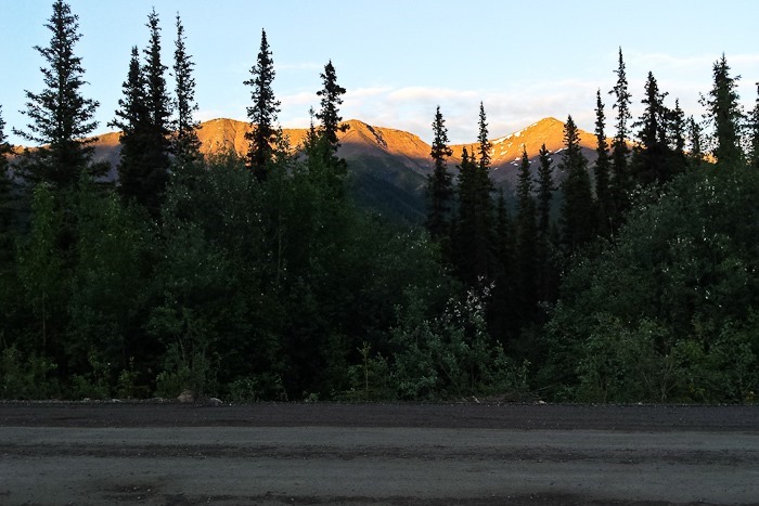
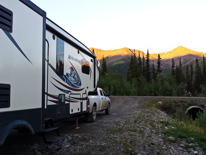
After an hour or so of driving the Dempster Highway, we reached a streamside pullout to camp in over Shabbos.  Sunset here is at 12:46AM.  Here are views of our site at around 11:45PM:
Day324_32

North on the Dempster:

Day324_33

And South:

Day324_34

Day324_35

Day324_36

Good Shabbos from Tombstone Territorial Park, Yukon Territory!  See the trip map for driving details and current location.
Day 323: (Mud) Flapping in the Wind

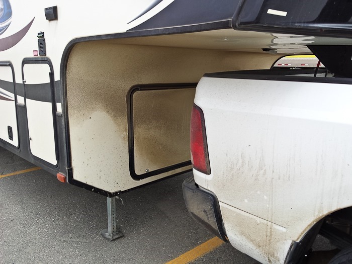
A lot of water and mud gets thrown up onto the underside of the fifth wheel.  The front compartment is leaking a bit as a result:

Day323_01

I’ve added monster-sized mud flaps, hopefully that will help:

Day323_02

After the mud flap installation, we drove into downtown and visited the MacBride Museum of Yukon History.  The museum had an impressive collection of native animals:

Day323_03

Day323_04

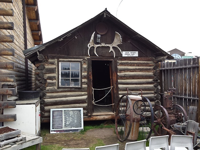
Sam McGee’s cabin was also on site.  Robert Service, a bank teller at the time, met Sam and asked to use his name in the now-famous poem, The Cremation of Sam McGee.

Day323_05

Day323_06

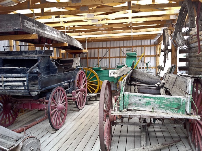
Old stagecoaches that used to travel between towns during the gold rush:

Day323_07

Is this a compliment?

Day323_08

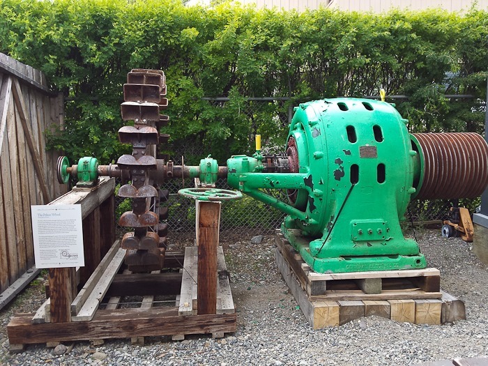
This is the first electric generator that served the area.  Pressurized water was shot into the cups on the left, which turned the generator:

Day323_09

Tourist fun:

Day323_10

Day323_11

Day323_12

Day323_13

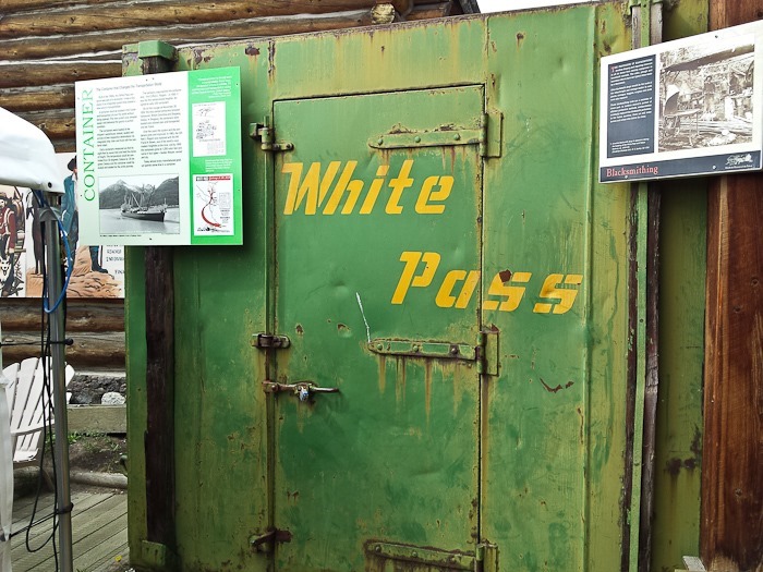
White Pass, makers of the first shipping containers:

Day323_14

A local freight train:

Day323_15

Back at the RV, we spoke to the driver of this contraption, a 24 passenger tour bus with 24 sleeping births in the back.  The hallway for the sleeping births slides out on the passenger side, and the passengers find their birth and climb a ladder if necessary to get in.  Looks a little tight to me, but it’s pretty neat:

Day323_16

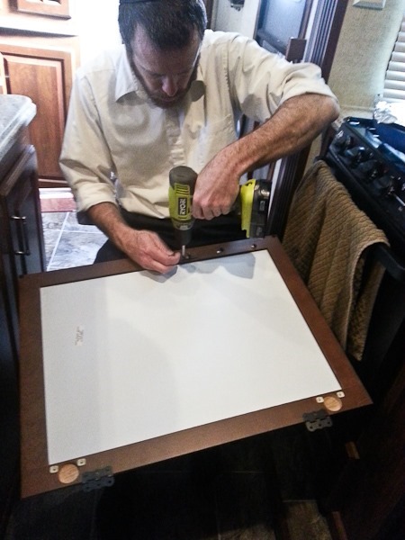
Before dinner, I finally got around to pulling out the over-range microwave oven and installing in its place a medicine cabinet door salvaged from the bathroom remodel:

Day323_17

Day323_18

Behold, over-range storage:

Day323_19

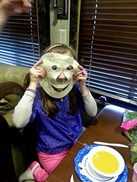
Despite encouraging the kids to not play with their food….

Day323_20

We hope to get an early start tomorrow, visit the SS Klondike, and then head North.

Day 321: Mice and Bears

This morning, we had indeed caught mouse #2 in a trap.  We disposed of his body and continued North on the Cassiar Highway.

After a bit, we reached Jade City.  Most of Canada’s sizeable jade exports are mined within 50 miles of here.  We stopped in to see the wide selection of Canada-mined, Chinese-crafted jade pieces for sale here.  There was a sign saying that a reality TV series called “Jade City” is being filmed here.  The things people will watch…

Day321_01

We stopped at Boya Lake Provincial Park to fill up our water tank.  We wanted to do a bit of hiking and fishing, but it was raining so we kept driving.  As we continued North, the Cassiar became more difficult to drive due to frost heaving.  We have seen five bears so far today!

At last we passed the “Welcome to Yukon Territory” sign and shortly thereafter we reached the end of the Cassiar Highway.  We turned left onto the AlCan, heading West.

After a bit we had to stop for road construction.  A new layer of chipseal was being laid down:

Day321_02

We followed the pilot car and saw the oil being sprayed to accept to the chipseal gravel:

Day321_03

We stopped in Teslin and filled up on comparatively cheap $1.51 per liter diesel, had lunch, and were able to use our cell phone for the first time since we turned on to the Cassiar Highway.  The drive to Whitehorse was plenty scenic:

Day321_04

At last we arrived in Whitehorse, Yukon Territory.  The Walmart parking lot had over 100 RVs parked in it, so we drove a couple blocks to “The Real Canadian Superstore”, which looks to be a green version of Walmart.  We are the only RV in the lot, and the WiFi from the nearby A&W is quite good.

We’re above 60 degrees North latitude, and when we went to sleep at 1AM, it was still light enough to read outside.  It never gets dark enough to see the stars here this time of year.

Again, just before bed, B spotted a THIRD mouse in the RV, so we will again set out traps.  Grr!

See the trip map for driving details and our current location.

Day 320: Don’t Pass Gas

On Saturday, we met Nigel and Sandra of Doin’NotDreamin’, who camped next to us at Clements Lake.  Last night, Sunday, we returned to Clements Lake, and found that they had returned here as well.  They had attempted to get up to the Salmon Glacier with their Class C motorhome but had to turn back when the road became to narrow.  This morning they headed out a bit before us, and we figured we would both stay at the same camping area at the North end of Dease Lake.

Another cloudy morning on Clements Lake:

Day320_01

I headed back into town to buy diesel and mouse traps.  I also visited the visitor center and picked up brochures for the next leg of our trip.  Maybe it’s because of the permafrost that gas station fuel tanks are all above ground in this part of Canada?

Day320_02

We drove back out towards the Cassiar Highway, once again passing amazing views.  A hanging glacier is just visible in the saddle at the skyline:

Day320_03

Day320_04

Day320_05

I couldn’t help stopping again at Bear Glacier:

Day320_06

Day320_07

Day320_08

Heading North of the Cassiar Highway, we lived by the rule of “don’t pass gas” and stopped at every available gas station.  They were 100 to 200 miles apart, and prices got up to $1.67 per liter, which is $6.35 a gallon. I tried not to think about it too much.

After the first 100 miles, the Cassiar becomes a narrow chipseal road with no center line.  At one point, we passed by a herd of horses next to and on the road:

Day320_09

Day320_10

Around 8pm, we reached Sawmill Point Recreation Site on the North end of Dease Lake, another free Forestry Service campground.  The temperatures are pleasant, but the mosquitoes are getting worse and worse as we head North.  Nigel and Sandra must have stopped somewhere else:

Day320_11

There are some interesting folks in this lonely corner of the world.  One RV overnighting here had a wood stove installed in it, complete with chimney coming out the side of the RV.

As we went to bed, we spotted a mouse in the RV.  So much for the hope that the mouse we saw last night had run out before this morning.  We set out the traps we bought in Stewart and hoped for the best (from our perspective).

See the trip map for today’s drive.