2010 Summer Vacation, Day 12

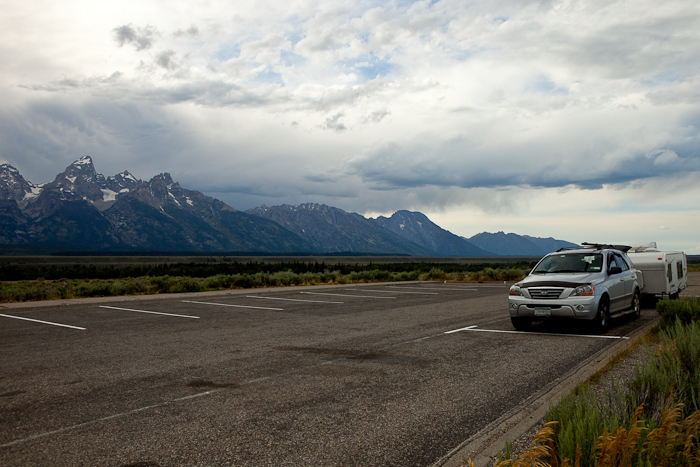
Monday morning we had an early start.  Here we are ready to leave:

Tetons2010_Day11_03


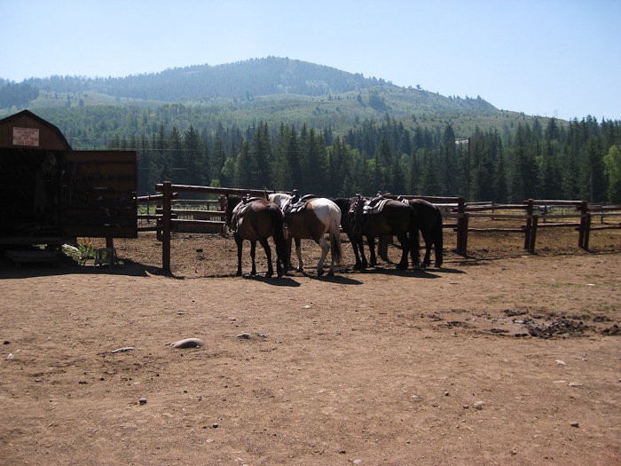
We dumped our tanks at a gas station in Jackson, which was….. interesting.  We then drove South to Hoback Junction for our horseback ride:
Tetons2010_Day11_07

Tetons2010_Day11_08

Tetons2010_Day11_09

Tetons2010_Day11_10


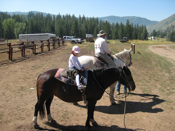
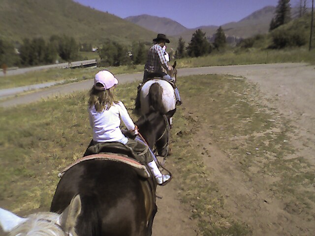
We started off together, then M and Trish split off to complete the two hour ride while B and I completed the one hour ride.

B’s horse was a 27 year-old fellow named Spud.  Spud is moved along by slapping him with a length of rope, known as “the Spud Whacker”.  B did a great job keeping Spud going, and pulling up on his reins when he tried to eat.
Tetons2010_Day11_01


Trish and M are up front:Tetons2010_Day11_04


B and I with the guide:

Tetons2010_Day11_05

Tetons2010_Day11_06


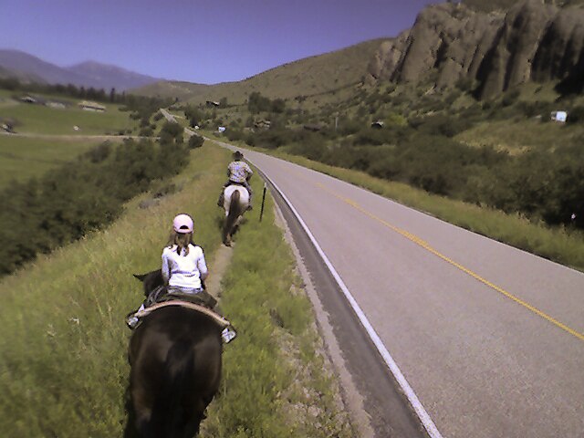
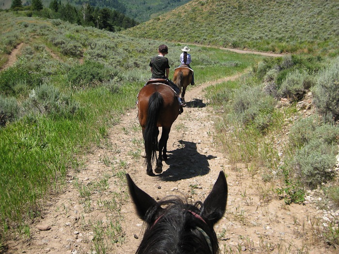
Meanwhile, Trish and M headed off on their two-hour ride, which took them off the road onto the ridge above:

Tetons2010_Day11_11

Tetons2010_Day11_12

Tetons2010_Day11_13

While B and I were waiting for M and Trish to return, B spotted me while I crawled under the RV, stripped the brake wires, and replaced the wire nut so that both RV wheels now brake, meaning that the RV will no longer heave to one side when we brake.

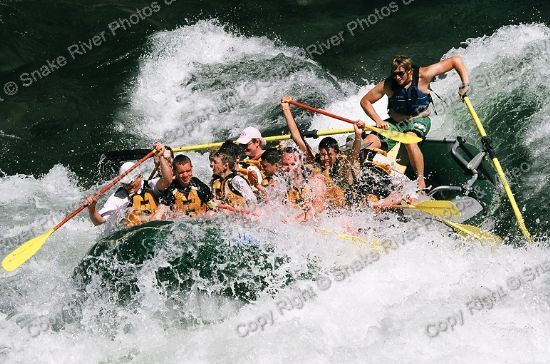
We left the stables and continued South along the Snake river to the West Table river access, where we waited for the folks from Teton Whitewater to show up.  Our guide was Ammon, and he was great.  He asked the other boats not to splash us because there was a “princess” on board.  The four of us were in the back row.  Here we are entering the class-3 Big Kahuna rapids:

image

image

Everyone had a great time.  Thanks Ammon!

From there we headed South, for a dozen or so miles even being 100 yards over the border into Idaho, then sadly turned to the East.  We had reached the Westernmost extent of our trip.  It was time to head for home.

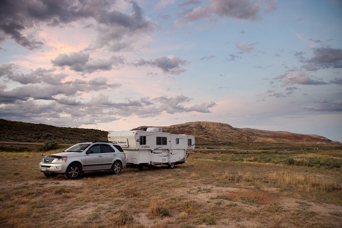
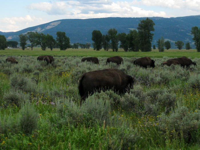
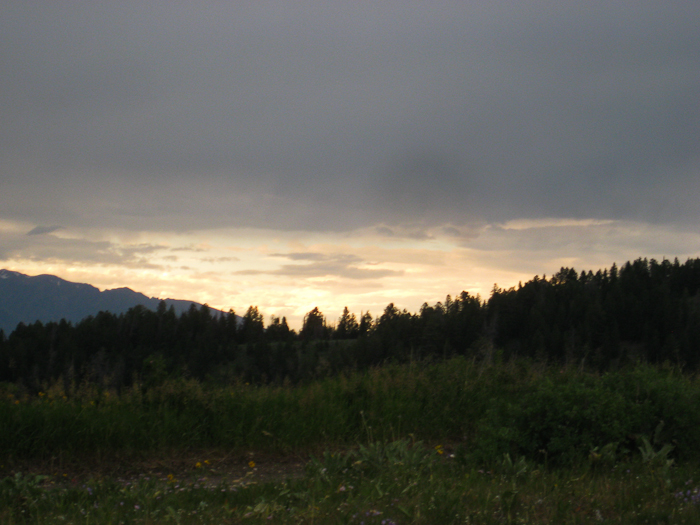
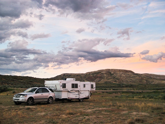
I had chosen a dispersed campsite on BLM land just East of Fossil Butte National Monument, but there was intervening private land, so we continued on.  We eventually found a place to get off the road just a few hundred yards from the road to the National Monument.  The sunset was beautiful.  Fossil Butte is in the background:
Tetons2010_Day11_14

Tetons2010_Day11_15

Tetons2010_Day11_16

While we set up the RV, the kids collected bones they found lying about, probably from a cow.  Did I mention that I love dispersed camping?

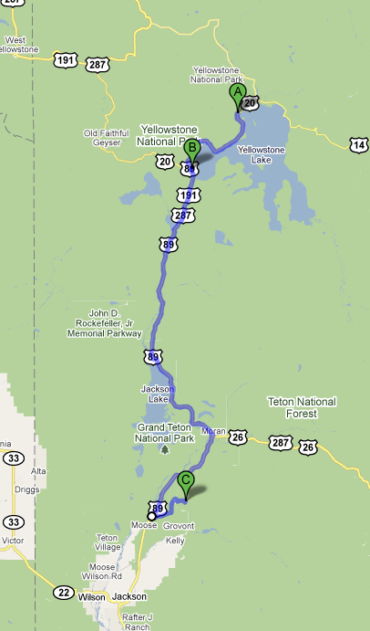
We drove 172 miles today.  The white circles indicate the location of the horse corral and the river access.

image

2010 Summer Vacation, Day 10 and 11

Shabbos was wonderful on Shadow Mountain.  We went for a walk, and got very, very wet on the way back.  By the time we got back to the RV, our shoes were weighed down with several pounds of mud.  There was a good bit of windy weather too.  Being all alone out there was great.

Unfortunately, it was too cloudy to get a photograph of the night sky.  I went to bed early in order to photograph the sunrise.


As planned, I got up early to capture the sunrise as seen from our “campsite”.  Even before dawn it was beautiful:

Tetons2010_Day10_01


And then the sun came up.  I was standing there in complete awe of the scene, overwhelmed by the experience of it.

Tetons2010_Day10_02

Tetons2010_Day10_03


Looking Southwest at Blacktail Butte:

Tetons2010_Day10_04


Best campsite in Wyoming:

Tetons2010_Day10_05

Tetons2010_Day10_06

Tetons2010_Day10_07


I rode my bike from the RV to the top of Shadow Mountain, where the kids took their bikes off the SUV.  The three of us rode to the base of Shadow Mountain together:

Tetons2010_Day10_08

Tetons2010_Day10_09


B and M accompanied me from the top to mile 4.  B had had enough, so we put her bike on the SUV, and M and I rode together to mile 6.  I continued on towards Cunningham Cabin, but we weren’t sure if we were going the right way (turns out we were), so I packed it in at mile 7.5.

image


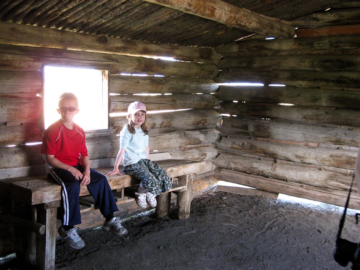
We drove on to Cunningham Cabin:

Tetons2010_Day10_11

Tetons2010_Day10_12


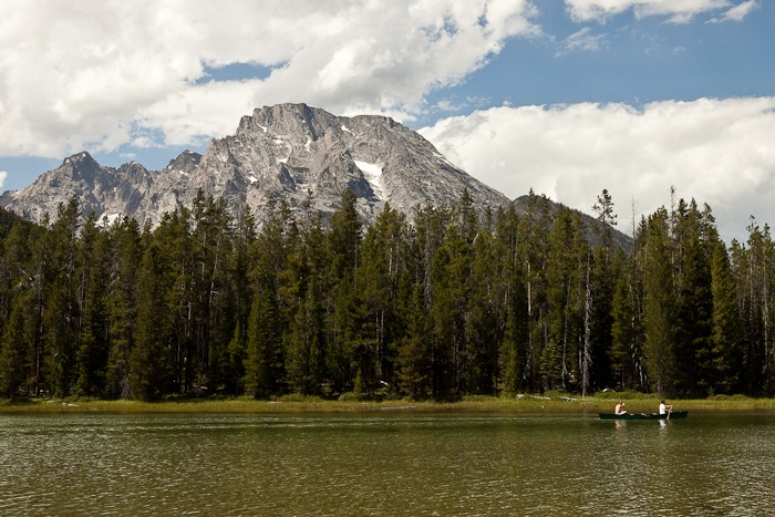
From there, we visited the Craig Thomas Discovery and Visitor Center, then hiked the String Lake Trail:

Tetons2010_Day10_13

Tetons2010_Day10_14

Tetons2010_Day10_15

Tetons2010_Day10_16

Tetons2010_Day10_17


Fox in the bushes:

Tetons2010_Day10_18

Tetons2010_Day10_19

Tetons2010_Day10_20


There were lots of “wow, I can’t believe we’re here!” moments on the hike:

Tetons2010_Day10_21

Tetons2010_Day10_22

Tetons2010_Day10_23


From there, we went into Jackson, where we visited the Jackson Hole and Greater Yellowstone Visitor Center, rode the Alpine Slide, and picked up some groceries.
The sun was setting on the way back:

Tetons2010_Day10_24

Tetons2010_Day10_25


We stopped at Mormon Row:

Tetons2010_Day10_27

Tetons2010_Day10_28

Tetons2010_Day10_29


At home, we own a print of Ansel Adam’s The Tetons and the Snake River.  Looking at a map, I found a likely location from which the photograph was captured.  We drove out there and it was indeed the spot!  Here’s Adams’ photograph from 1942:

ansel-adams-tetons-snake-river


The trees are a good bit taller 68 years later, but it’s definitely the same spot.  This was one of the highlights of the trip for me.  Here’s my photograph:

IMG_2701-2 copy

What a great day!

2010 Summer Vacation, Day 9

Team Bubbie was headed back to Minneapolis this morning, so we got a shot of the kids:

Tetons2010_Day9_01


We went back to the Fishing Bridge area, where Trish did laundry while I replaced the bearings in one of the RV wheels.  Greasy fun!

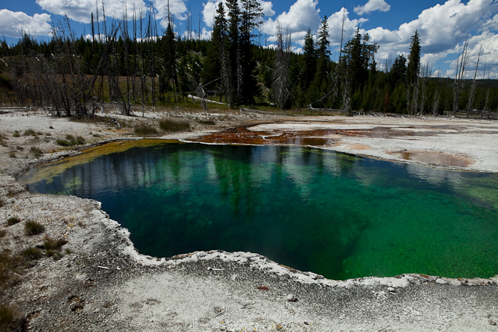
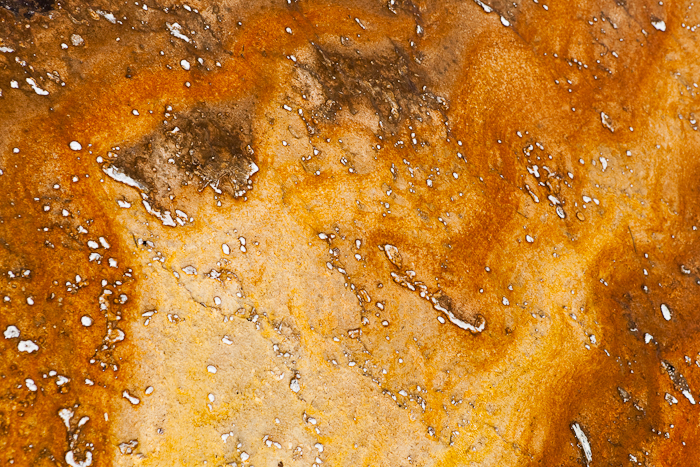
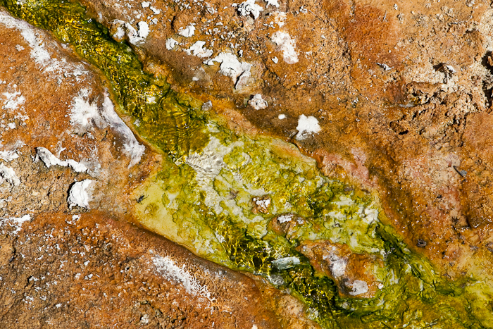
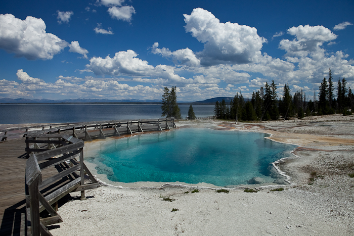
On the way out of Yellowstone, we stopped at the West Thumb Geyser Basin.  Some of the pools here were very deep.  The color of the pool is determined by the temperature, which determines which species of bacteria grow in the water:

Tetons2010_Day9_02

Tetons2010_Day9_03 Tetons2010_Day9_04


Really deep:

Tetons2010_Day9_05

Tetons2010_Day9_06


Really, really deep:

Tetons2010_Day9_07

Tetons2010_Day9_08

Tetons2010_Day9_09 

Yellowstone Lake:

Tetons2010_Day9_10

Tetons2010_Day9_11

Tetons2010_Day9_12

Tetons2010_Day9_13

Tetons2010_Day9_14


M tries on an antler at the visitor center:

Tetons2010_Day9_15


We headed out of Yellowstone and headed South to Grand Teton National Park:

Tetons2010_Day9_16

Tetons2010_Day9_17


Yes, more bison:

Tetons2010_Day9_18


We found a great dispersed camping location on Shadow Mountain, across the valley from the Tetons.  The kids took a couple photographs while we set up for Shabbos:

Tetons2010_Day9_19

Tetons2010_Day9_20


About 90 miles today:

image

2010 Summer Vacation, Day 8

Cody’s Walmart was the most popular RV Walmart we’ve encountered so far:

Tetons2010_Day8_01

Tetons2010_Day8_02


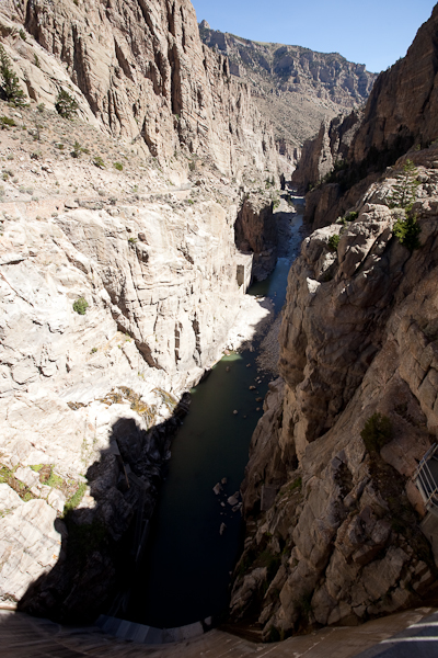
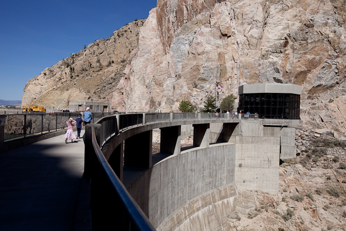
Heading West from Cody, we stopped at the Buffalo Bill Dam.  In 1910, when it was finished, it was the tallest dam in the world (325 feet).  It’s a long way down:

Tetons2010_Day8_03

Tetons2010_Day8_04  Tetons2010_Day8_06

Tetons2010_Day8_07


The reservoir is on the upstream side, obviously:

Tetons2010_Day8_05


The logs that float downstream are pulled out periodically:

Tetons2010_Day8_08


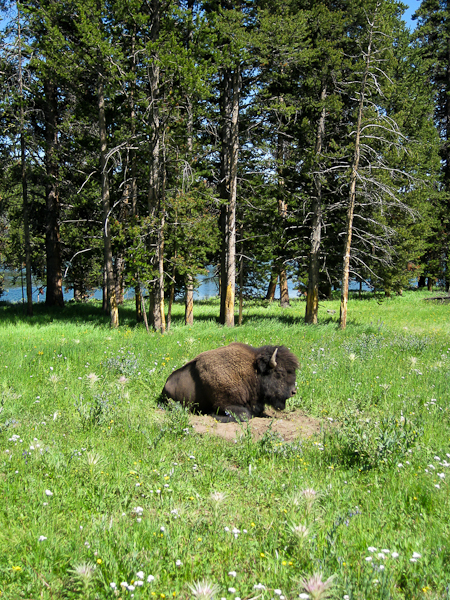
From there, we headed West into Yellowstone.  There were Bison aplenty:

Tetons2010_Day8_10

Tetons2010_Day8_11


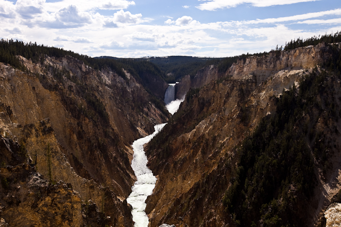
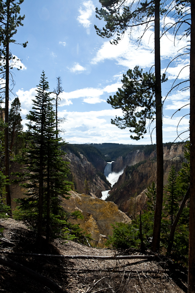
We stopped at the Fishing Bridge visitor center, went to the campground and unhitched the RV, then went to Yellowstone falls:

Tetons2010_Day8_12

Tetons2010_Day8_13

Tetons2010_Day8_14

Tetons2010_Day8_15


Canyon visitor center:

Tetons2010_Day8_16


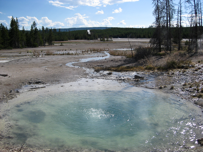
Next we went to the Norris Geyser Basin.  Lots of bubbling and steaming pools, from the heat generated by the Yellowstone Supervolcano:

Tetons2010_Day8_17

Tetons2010_Day8_18

Tetons2010_Day8_19

Tetons2010_Day8_20

Tetons2010_Day8_21

Tetons2010_Day8_22


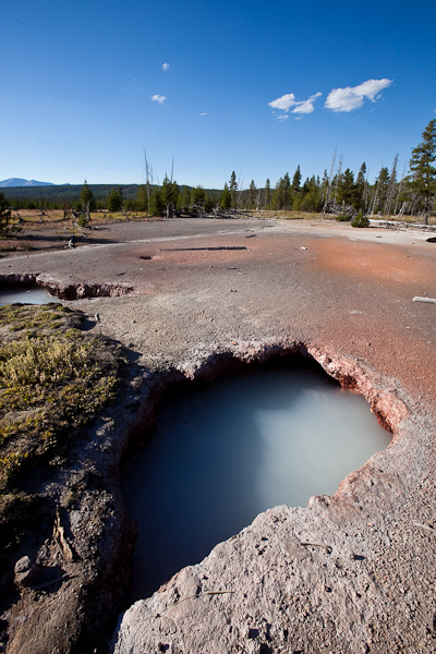
Next we hiked the Artists Paintpots hike:

Tetons2010_Day8_23

Tetons2010_Day8_24

Tetons2010_Day8_25

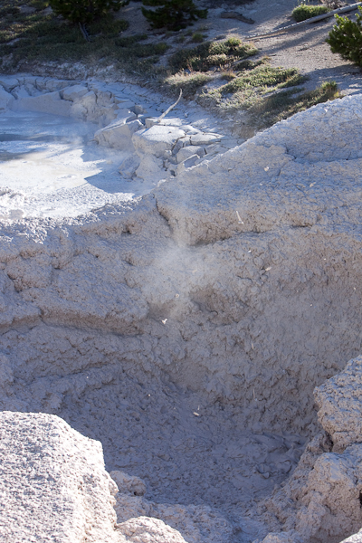
Mud bubble in the paintpot:

Tetons2010_Day8_26


Mud is violently thrown out of the hole:

Tetons2010_Day8_27


M leads the way:

Tetons2010_Day8_28

Tetons2010_Day8_29

Tetons2010_Day8_30


Waiting for Old Faithful:

Tetons2010_Day8_31


A little steam at first:

Tetons2010_Day8_32


Waiting:

Tetons2010_Day8_xtra


The eruption:

Tetons2010_Day8_33


It was a shame that we only had a day in Yellowstone.  Hopefully someday we will come back for a longer visit.

187 miles today.  The white circle is the location of the dam:

image

2010 Summer Vacation, Day 7

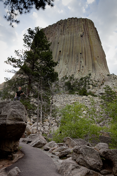
We got up early again today to be at Devil’s Tower National Monument by 8am, when the visitor center opens.  Leaving the campground:

 IMG_3811


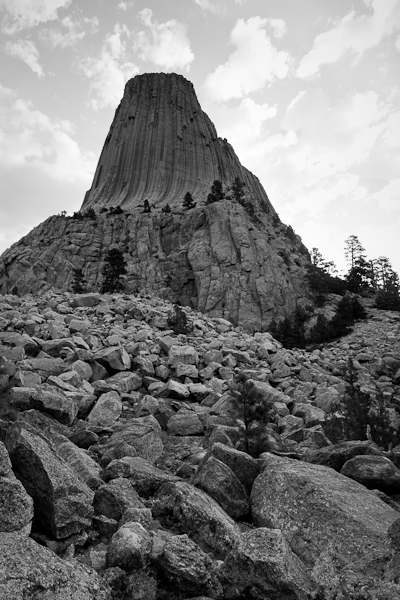
Approaching the tower:

Tetons_2010_Day_7_17


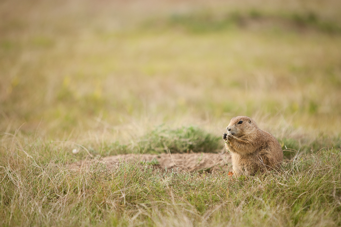
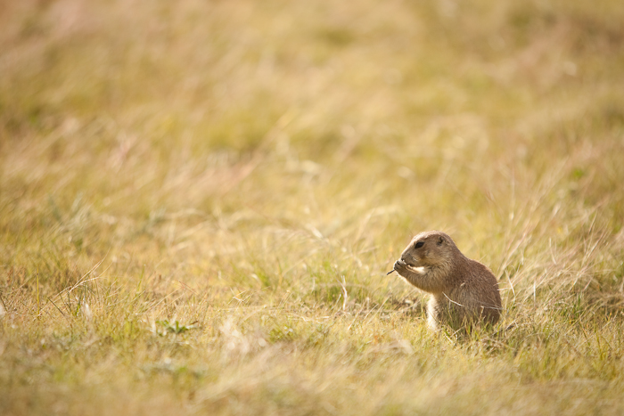
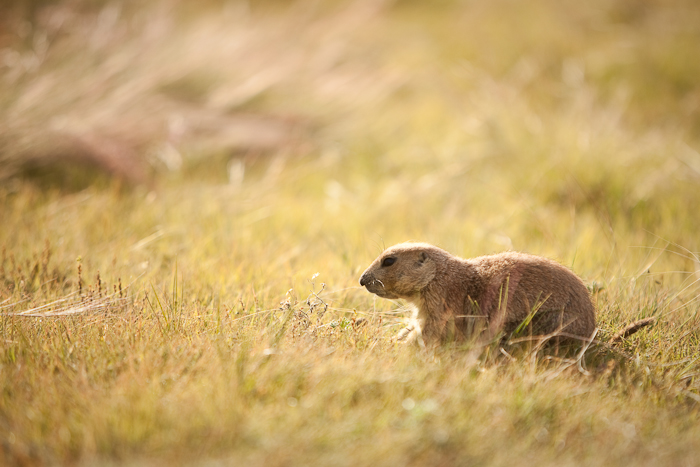
There’s a prairie dog colony along the road to Devil’s Tower:

 Tetons_2010_Day_7_01

Tetons_2010_Day_7_02

Tetons_2010_Day_7_03

Tetons_2010_Day_7_04

Tetons_2010_Day_7_05


At the prairie dog colony:

Tetons_2010_Day_7_06


We took a hike around the tower.  M is on the left:

 Tetons_2010_Day_7_07

Tetons_2010_Day_7_08

Tetons_2010_Day_7_09

Tetons_2010_Day_7_10

Tetons_2010_Day_7_11

Tetons_2010_Day_7_12

Tetons_2010_Day_7_13

Tetons_2010_Day_7_14

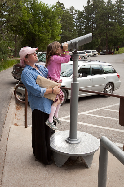
After getting our Junior Ranger badges in the visitor center, B took a peek through the scope:

Tetons_2010_Day_7_15

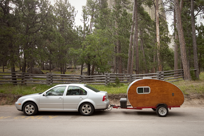
Saw this rig in the parking lot.  It’s built on a 4’x8’ cargo trailer.  Personally, I’d rather stay in a 10’x15’ tent.

Tetons_2010_Day_7_16 

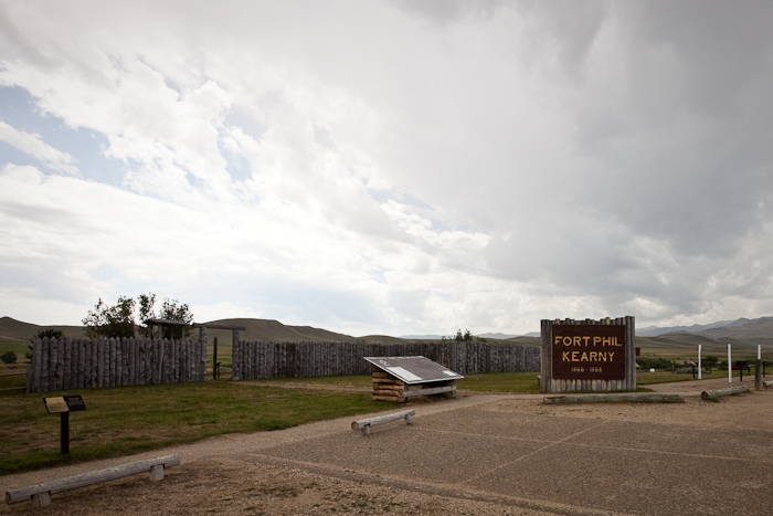
Leaving the tower, we headed west.  We arrived Fort Phil Kearney National Historic Landmark.  The visitor center was interesting, and one wall of the massive stockade had been rebuilt.  I think it was a little abstract for the kids.

Tetons_2010_Day_7_18


M has had enough at this point:

Tetons_2010_Day_7_19

Tetons_2010_Day_7_20


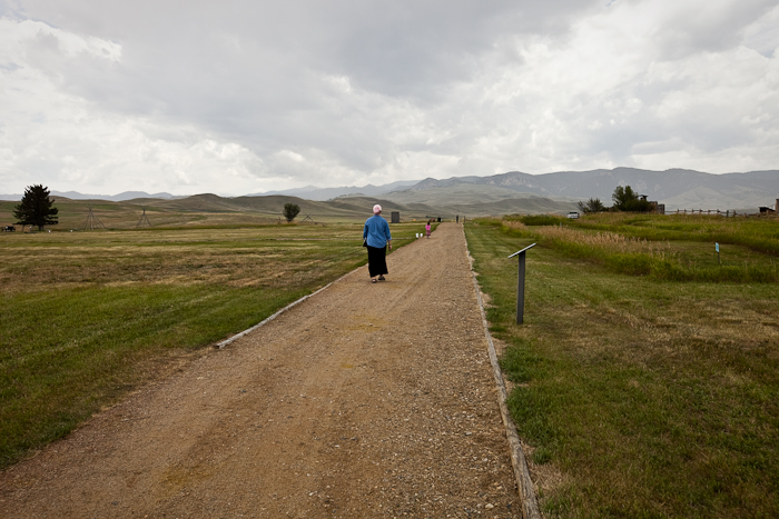
The rest of the stockade is marked with paths and ground markers.  It was quite large!

Tetons_2010_Day_7_21


M in the corner guard post:

Tetons_2010_Day_7_22

Tetons_2010_Day_7_23

After visiting the fort site, we drove a couple miles north to the site of the Fetterman Massacre. The interpretive trail was long, but it gave a good feeling for how the battle progressed.

We had originally planned to go on to Little Bighorn Battlefield National Monument, the site of Custer’s last stand, but that would cause us to miss the rodeo in Cody.  Since the kids didn’t get much out of Fort Kearney, we decided to skip it.

We headed north on I-90, then took highway 14 and 14a across the Bighorn Mountains.  The grade was 10%+ in some places.  On top, it was all wildflowers and short plants.  There was still snow in places:

 Tetons_2010_Day_7_24


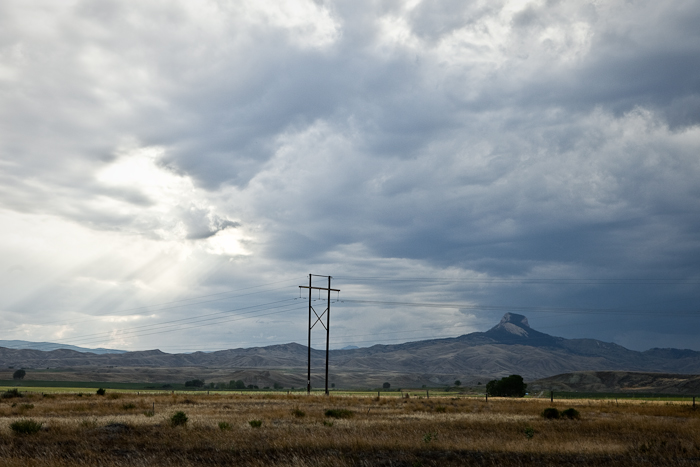
After coming down off the Bighorns, we approached Heart Mountain:

Tetons_2010_Day_7_25


Near Heart Mountain is the Heart Mountain Relocation Center, where nearly 11,000 Americans were imprisoned during World War II for being of Japanese descentNorman Mineta was a prisoner here:

Tetons_2010_Day_7_26


Tetons_2010_Day_7_27


There’s not much there, just a paved walk and some interpretive signs.  The site is a sobering reminder of how thin the veneer of personal freedom is in the US:

Tetons_2010_Day_7_28


Of the 500 buildings (the camp was at the time the third largest city in Wyoming), only the hospital and a few ancillary buildings remain.  The area was listed as a National Historic Site in 2007, and a visitor center is being built:

Tetons_2010_Day_7_29


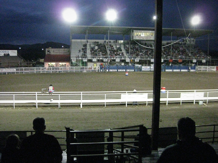
After leaving the relocation center, we headed west to Cody, where we experienced the rodeo.  Trish enjoyed it much more than I did.  The highlight of the evening was when they had all the children in the audience come down to the ring.  They then released 3 calves with ribbons on their tails.  They told the kids that whoever got the ribbons would get a prize.  General mayhem ensued.  Unfortunately, M and B didn’t participate.

Tetons_2010_Day_7_30


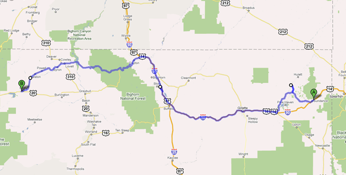
We drove about 350 miles today:

image

Tomorrow, Yellowstone!