Learning to fly and exploring from the air places we’ve visited over the last couple of years has made full time travel even more exciting. I’ve put together a seven minute video of the 105 flights I flew on the trip:
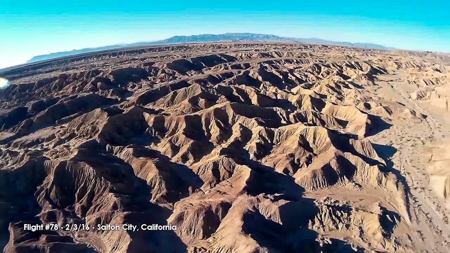

Learning to fly and exploring from the air places we’ve visited over the last couple of years has made full time travel even more exciting. I’ve put together a seven minute video of the 105 flights I flew on the trip:
Shabbos at Goosenecks State Park was quiet in our dispersed camping spot. We walked along the rim and enjoyed the views.
This morning, I got up early and launched flight #103 from the RV. The view from above was fantastic! Our RV is the the lower left corner of the frame:

Flying over the canyon:


I flew northeast for ten miles to reach Valley of the gods:


Coming back to land:


Trish made a great breakfast:

On Friday, there was a bit of tire slippage getting the RV into position, creating a layer of fine dust which captured these mouse footprints:

We left the RV at Goosenecks and drove up the Moki Dugway. It’s a one-lane gravel road with 10% grades and 5MPH curves:

Views from the top:


Driving back down:

Views of the Moki Dugway from a pullout:


On the way back to the RV, we drove through the Valley of the gods, which we last visited in 2011:


We hitched up the RV and said goodbye to Goosenecks:

Our next stop was Monument Valley. We visited Monument Valley in 2011, but came in from the other side, so we didn’t get to see this view on the approach:


We saw wild horses too:

The goal of visiting Moument Valley this time was to fly out to the monuments from the Goulding’s Lodge airstrip, the only airstrip near Monument Valley. The airstrip can be used for $50, or by Lodge guests, so we opted to stay in their dry camping, no services area for the bargain basement price of $40 a night:

Setting up for launch:


The air was really bumpy, so I didn’t stay up for long:


This video has today’s two flights, as well as tomorrow’s flight here at Monument Valley:
See the trip map for today’s drive and our current location.
Shabbos here at Cabezon Peak was cold but peaceful.
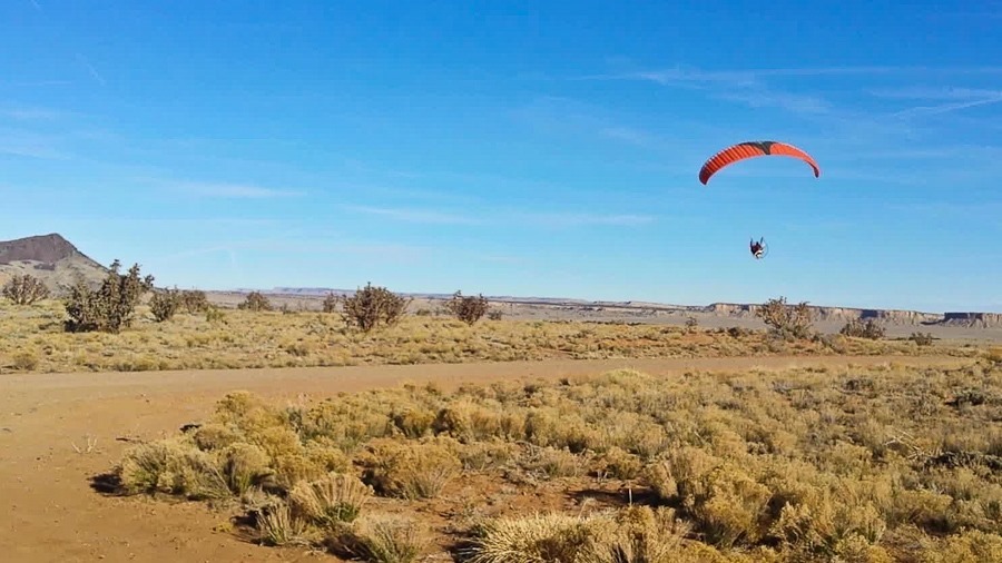
This morning I launched flight #101 at Cabezon Peak. The launch at 6,200 feet was a bit challenging, but after a couple attempts I realized that I was applying very slight brake pressure at launch. At lower altitudes this isn’t a problem, but at high altitudes the wing needs all the help it can get to stay aloft. Once I realized the problem, I successfully launched:

I did just barely clear this cholla cactus on takeoff:
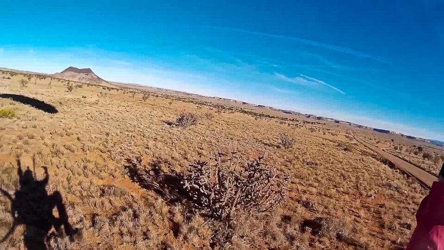

My goal was to fly over Cabezon Peak, so I had to climb about 2,500 feet above the ground. Looking south, Cerro Chato is in the foreground, with Cerro de Santa Clara behind and to the left, and Cerro de Guadalupe behind and to the right:

Flying over Cerro Chato:
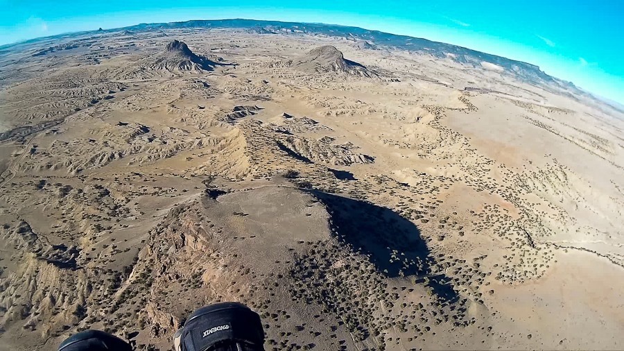
Getting high:

Looking down on Cabezon Peak:
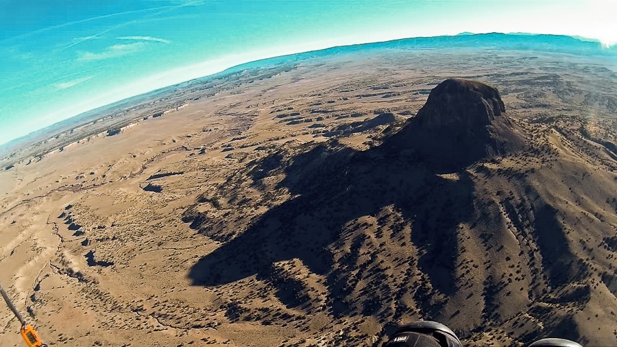
Looking down at Cabezon Peak. I’m at 8,700 feet above sea level, 2,500 feet above ground level and 1,000 feet above Cabazon Peak:
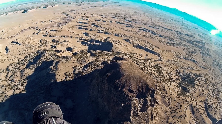
I descended as I flew north towards Rio Puerco:
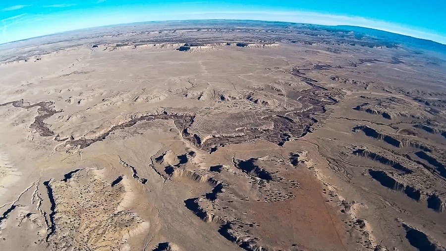
I flew over the ghost town of Cabezon. It’s on private property, so the best way to get close is from the air:

Flying back to the RV:
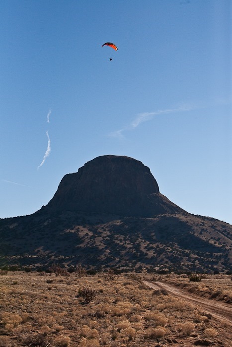


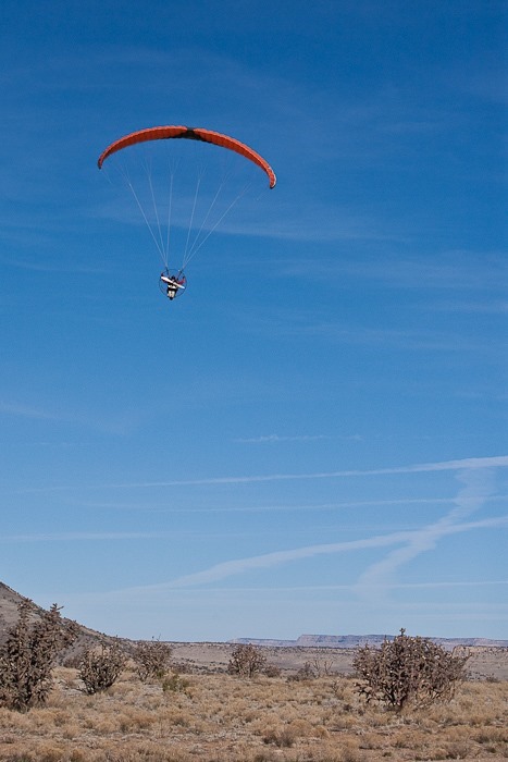
It was a bit of a challenge finding a landing zone amongst the shoulder-high cholla cactus:
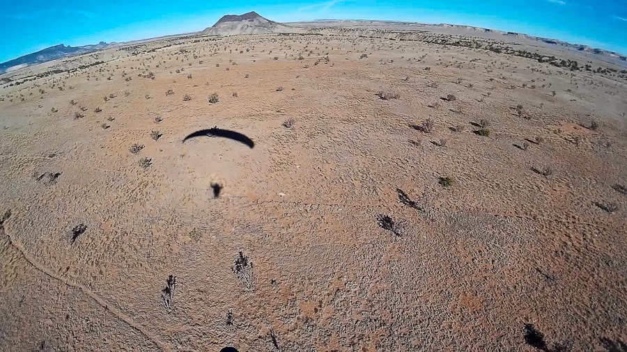

M photographed his R/C car here:

Trish made another amazing breakfast:


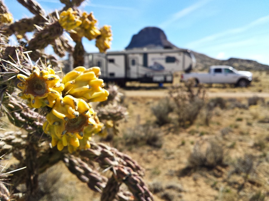
So long, Cabezon Peak:

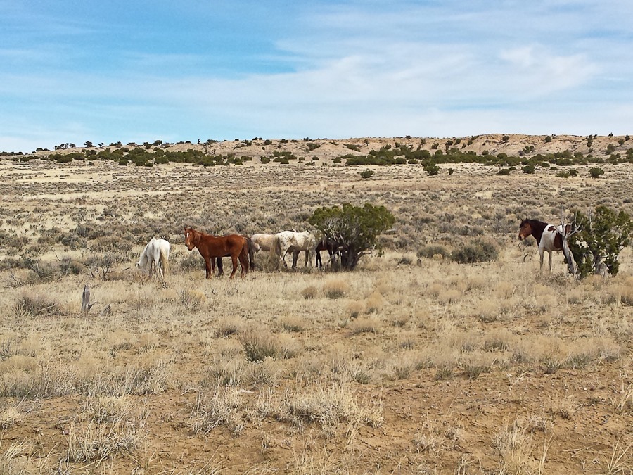
We drove back to the highway, then headed North until we reached New Mexico 57, a badly potholed paved road for the first couple of miles, then dirt for the next 13 miles. Along the way we passed a herd of wild horses:
After the better part of an hour, we found this great dispersed camping spot on BLM land, adjacent to the Ah-Shi-Sle-Pah Wilderness Study Area:

M photographed his R/C car here. I wonder how long he will keep this up:

Barak, my PPG friend from Salton Sea met us here along with his son. Barak and I both launched what for me was flight #102:

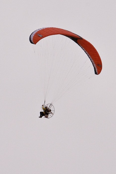
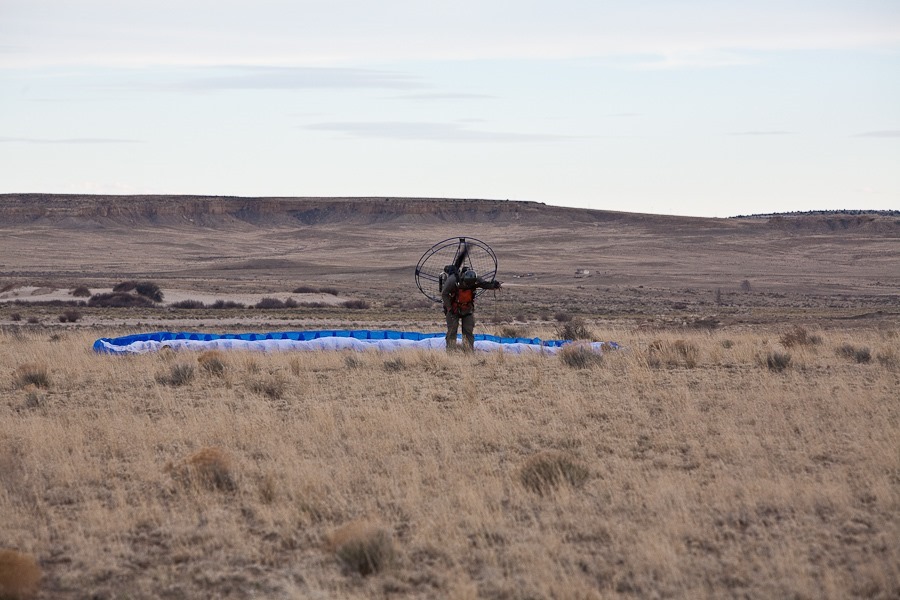
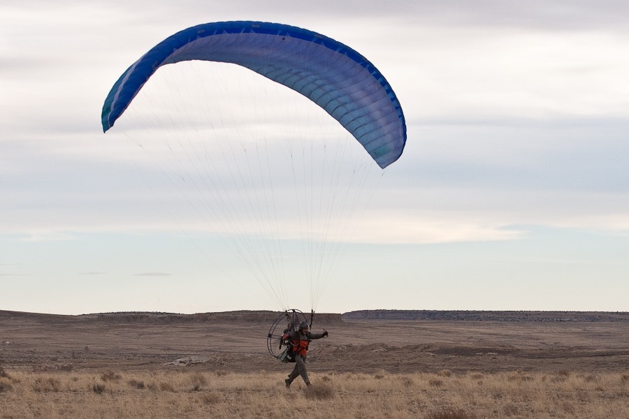

Barak had engine problems so he landed shortly after takeoff:
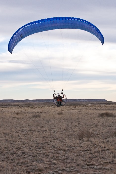

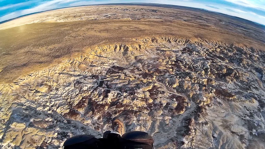
I flew out over the amazing badlands of the Ah-Shi-Sle-Pah Wilderness Study Area:


It’s hard to see, but there are hundreds of hoodoos in the yellow layer above the black layer:


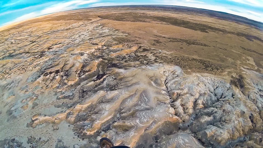
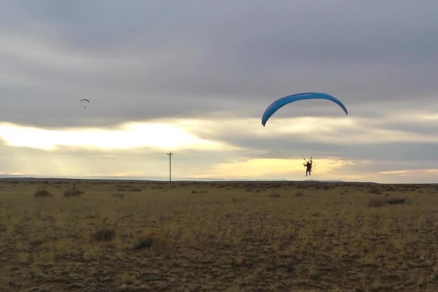
Coming in for a landing:

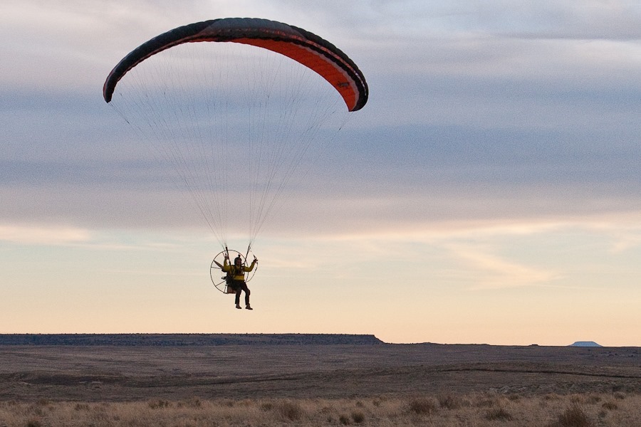
Sunset:
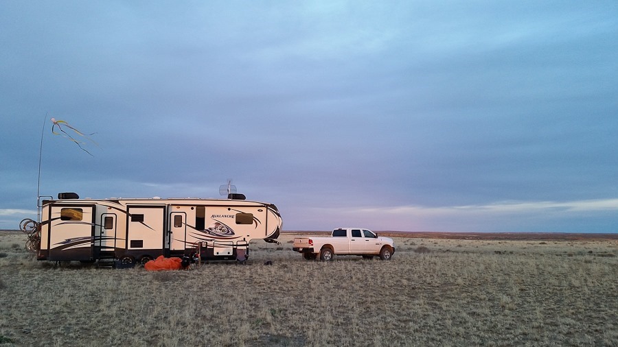
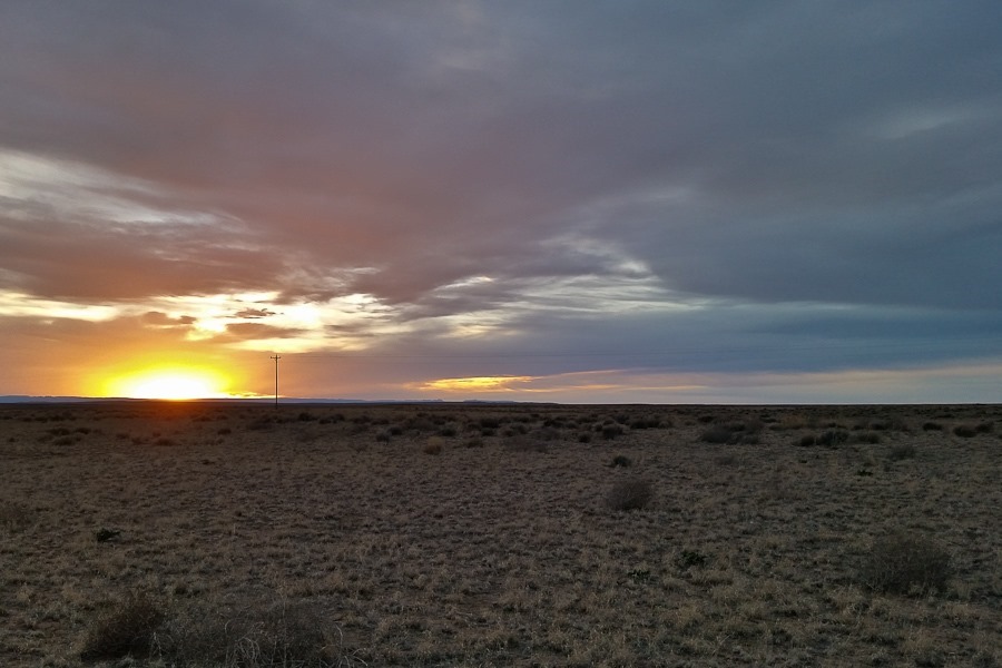
Tomorrow we plan to explore Chaco Culture NHP.
See the trip map for today’s drive and our current location.
This morning, in honor of Rosh Chodesh Adar, a month in which we increase our happiness, Trish made green scrambled eggs to enhance our sense of whimsy:

I took my wing over to Michelle’s wing shop for repair. A wing was being inspected:

Back on Day 861, I had laid out the wing and tried to kite it up to verify that the lines weren’t tangled. A twig attached to the ground snagged the wing as I tried to kite the wing. With the wing held back, my pulling on the lines caused a seam to fail where a “C” line attaches to the wing:

I called Michelle and she told me how to patch the wing, which I did:

Today, Michelle said the patch looked good but we decided to fix the wing by sewing it anyway. I would post a photo of the repaired area, but it now looks like all the other “C” line attachment points so I’m not sure which one it is. Thanks Michelle!
I photographed M’s overstuffed Junior Ranger wall hanging:

Tonight I launched milestone flight #100, an RV storage area in the background:

PPC pilot Ron took off right after me:


My goal for the flight was to find a nearby concrete arrow, the base for the 1930s LA-A #68 navigation beacon. I spotted it along the ridge directly above my feet:

It was exciting and appropriate to “discover” this relic of aviation history from the air:


I would have flown lower to get a better view, but strong winds were creating turbulent conditions along the ridge, so I opted to stay up high.
I flew back to Michelle’s field. Kirk was just taking off as I flew over:

I checked out a nearby radio controlled airplane field. They must fly some really large R/C planes here:


Hooray for 100 post-training flights!
I’ve been fighting a fever for the last couple days, which culminated with me waking up in the middle of the night with a fever of 101.6. This morning, my temperature was normal, so I launched flight #99:
![Day_943_09[4]](https://lookbeforeyoulive.com/wp-content/uploads/2016/03/Day_943_094.jpg "Day_943_09[4]")
I flew south towards the dam:


The terrain became mountainous, so I stayed above the road as it would be my only landing option in the event of an engine failure:


The Elephant Butte Lake Dam:

Heading back:


The landing:

My fever returned after breakfast, and M is coming down with this illness as well, so we stayed home while Trish and B went into Truth or Consequences to do some shopping, do the laundry, refill the propane, and fill up my PPG fuel can:


 Facebook
 Instagram
 Email
Email