Another beautiful day in Grand Staircase-Escelante National Monument:

We drove east to visit Grosvenor Arch:


M captured this great photograph:


Good Shabbos from Grand Staircase-Escelante National Monument!

Another beautiful day in Grand Staircase-Escelante National Monument:
We drove east to visit Grosvenor Arch:
M captured this great photograph:
Good Shabbos from Grand Staircase-Escelante National Monument!
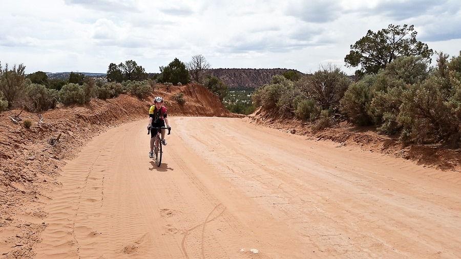
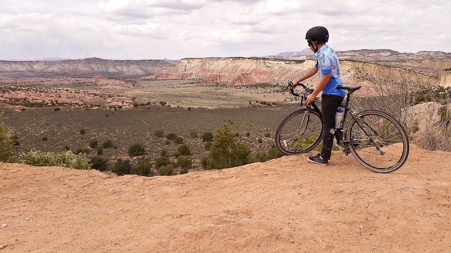
Today we biked east, our goal Grosvenor Arch eleven miles away. We expected a relatively flat road, but the road was quite hilly and worse, very sandy. We had to walk portions that were too sandy to ride. B did a great job climbing the hills:
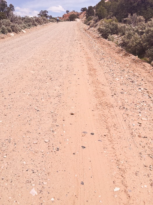
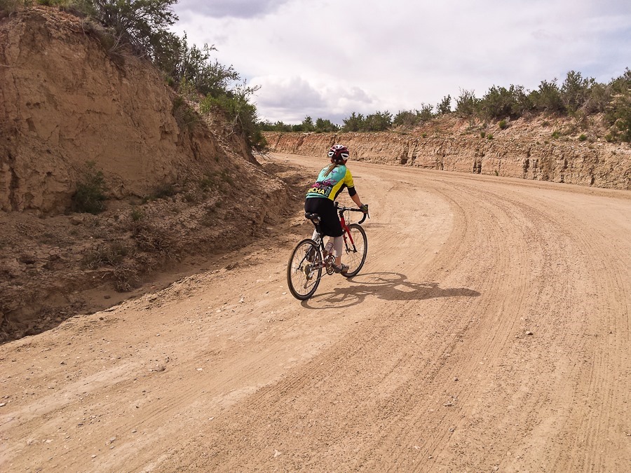
One hill was quite steep, and sandy enough that it was difficult to find traction:
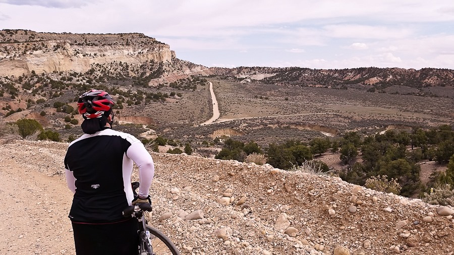
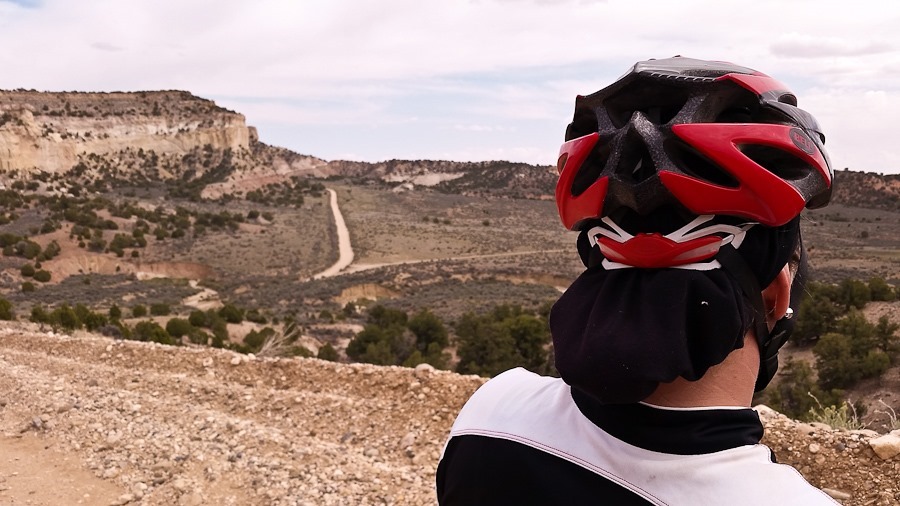
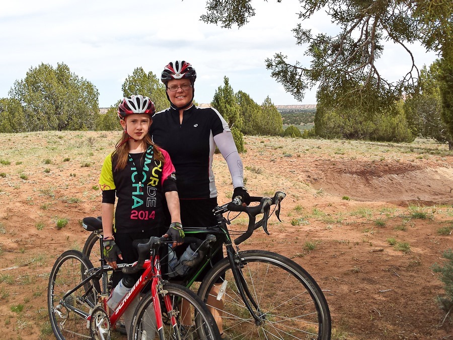
After cresting the hill, we descended the far side part way. We saw another big climb in the distance and decided to turn back:
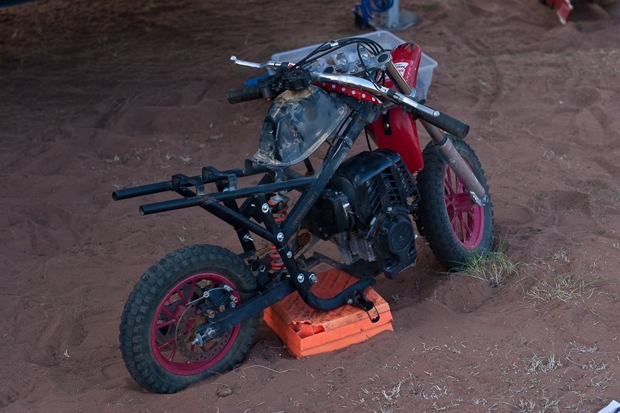
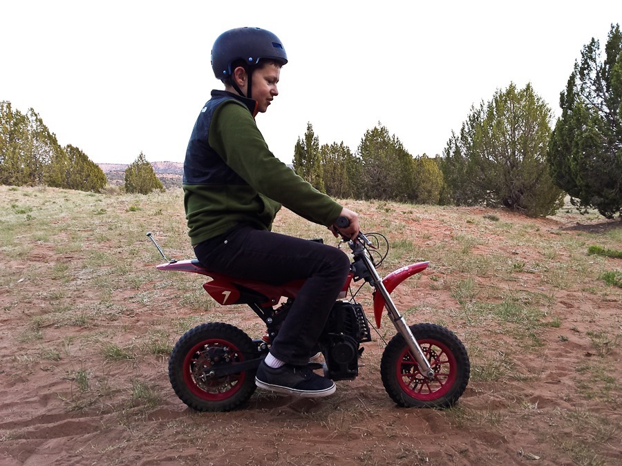
After returning, we finished repairing the motorcycle:
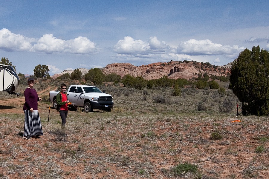
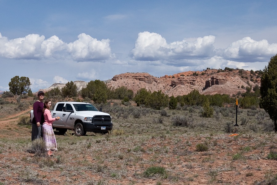
This morning we launched the model rockets the kids built a couple weeks ago. M was first up:
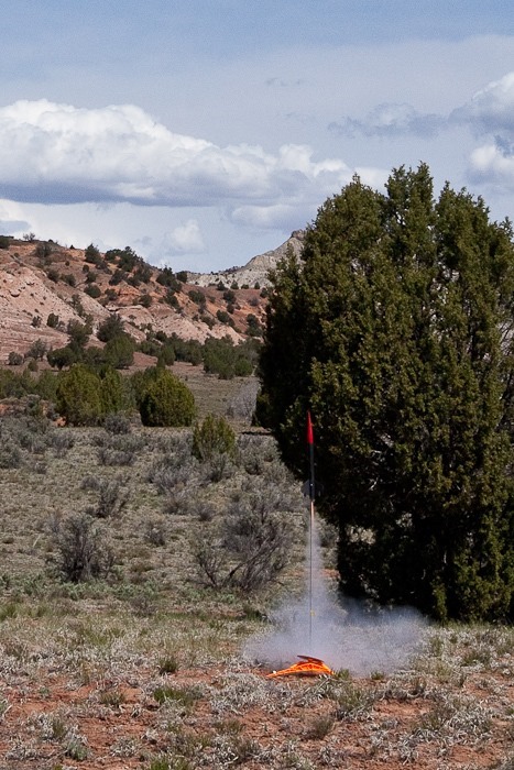
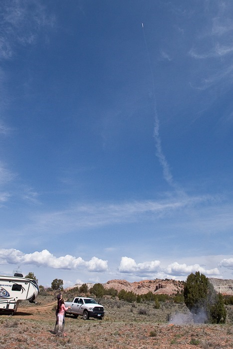
Liftoff:

Recovery:
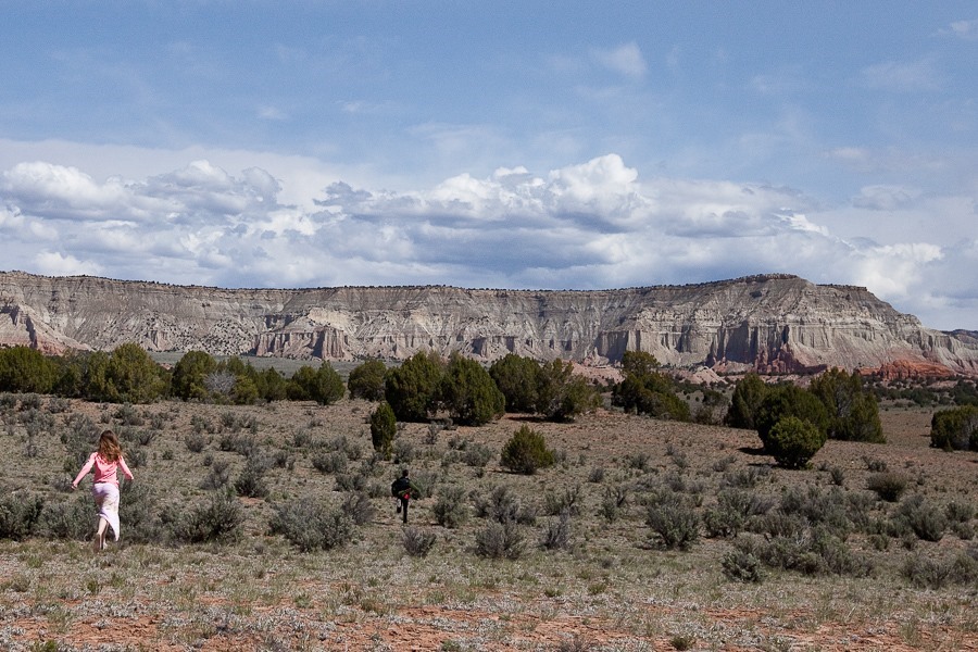
B’s turn:



Next we drove the mile or so to Kodachrome Basin State Park. We hiked a trail in the northern part of the park:


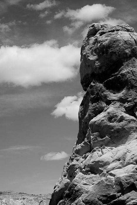
Kodachrome Basin is notable for its sand spires, thought to have been formed in a process similar to that which forms tufa:
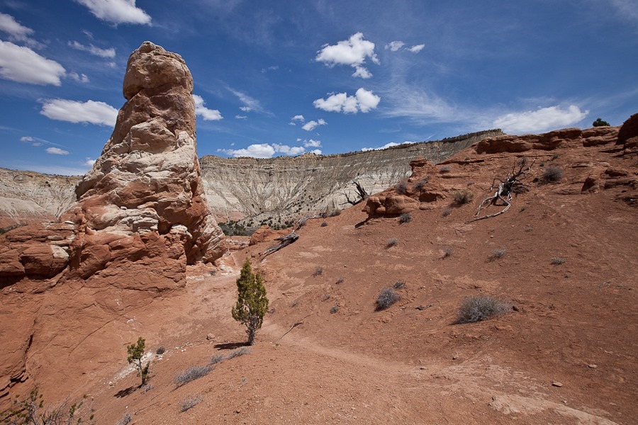

B photographs the spire:


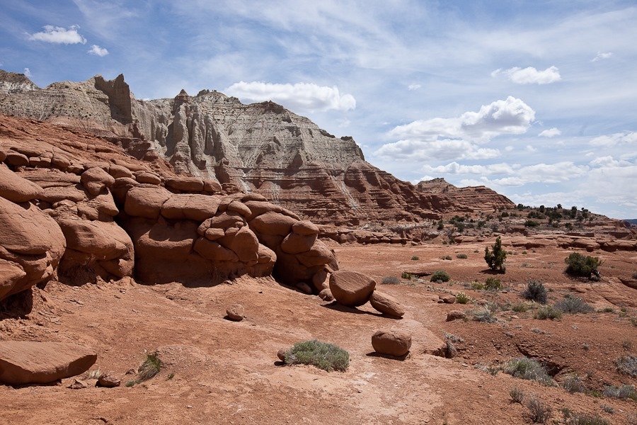


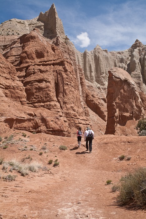
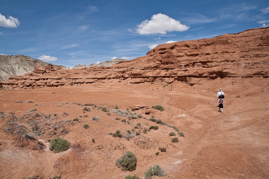
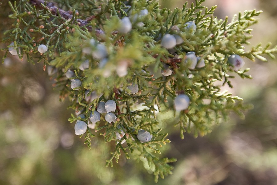
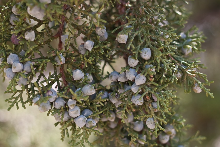
B photographs Juniper berries:

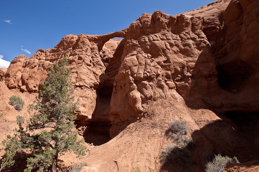
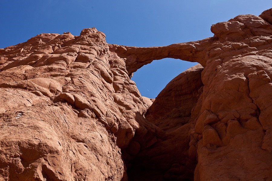
We next hiked a trail in the southern park of the park that led to Shakespeare Arch:



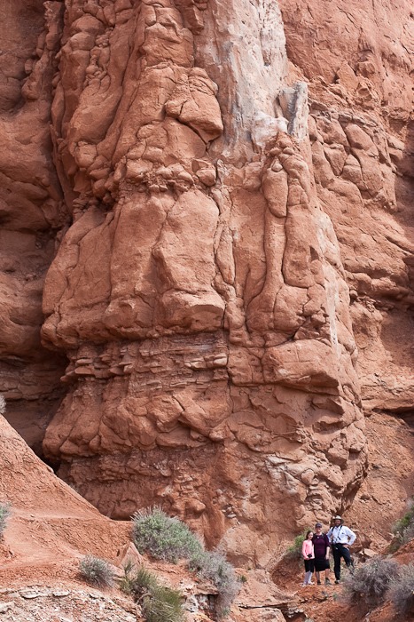
Next we arrived at Sentinel Spire:
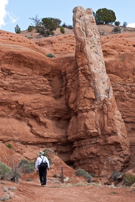
Posing at the base of the spire:
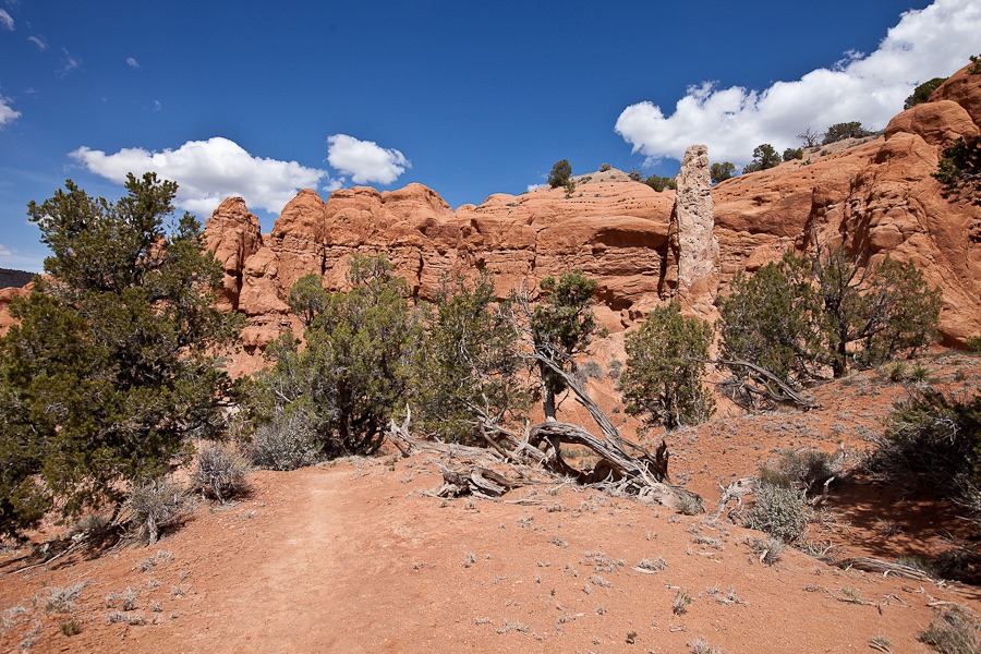

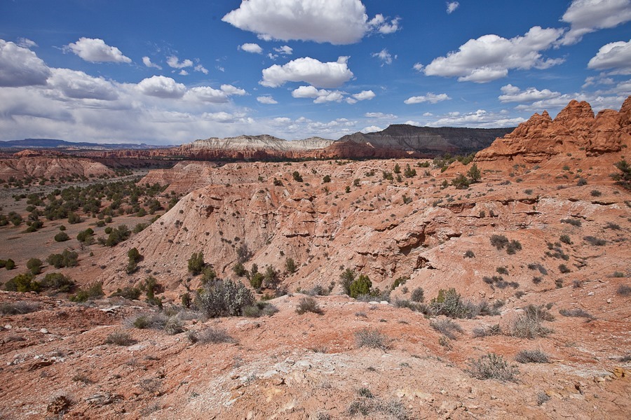


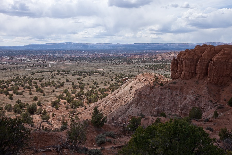
We could see the RV in the distance:



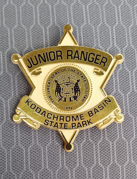
The kids received their Junior Ranger badges, their first from a Utah state park:

We did another rocket launch in the afternoon:

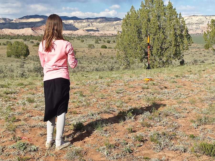
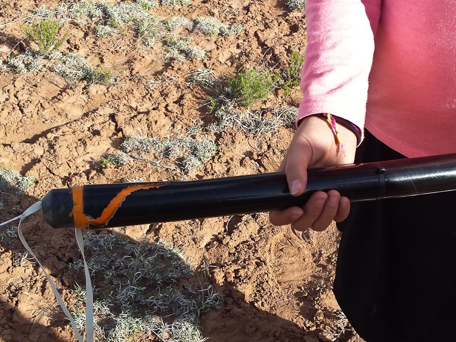
M’s rocket lost a fin in flight. B’s parachute failed to deploy, the rocket came straight down, and the rocket body impaled itself on the nosecone, which deployed and descended pointed side up:
The kids and I worked on M’s motorcycle. I cut flat stock long enough to fit into both sides of the broken frame tube, then slid the frame halves over the flat stock:
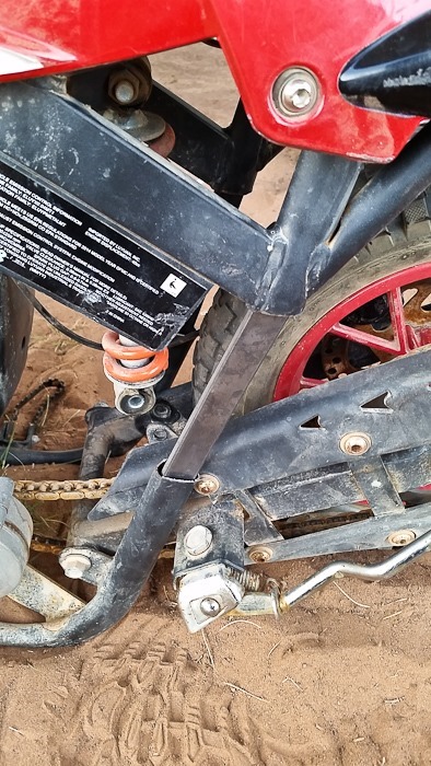

We then drilled through the frame and flat stock within, and bolted it all together. We will finish the other side tomorrow:

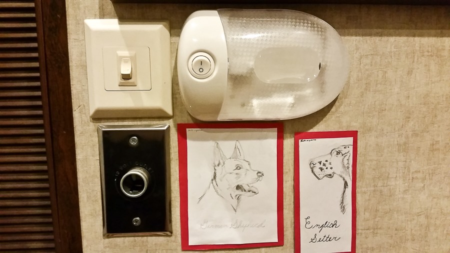
I also installed a light fixture in B’s room to act as a night light:
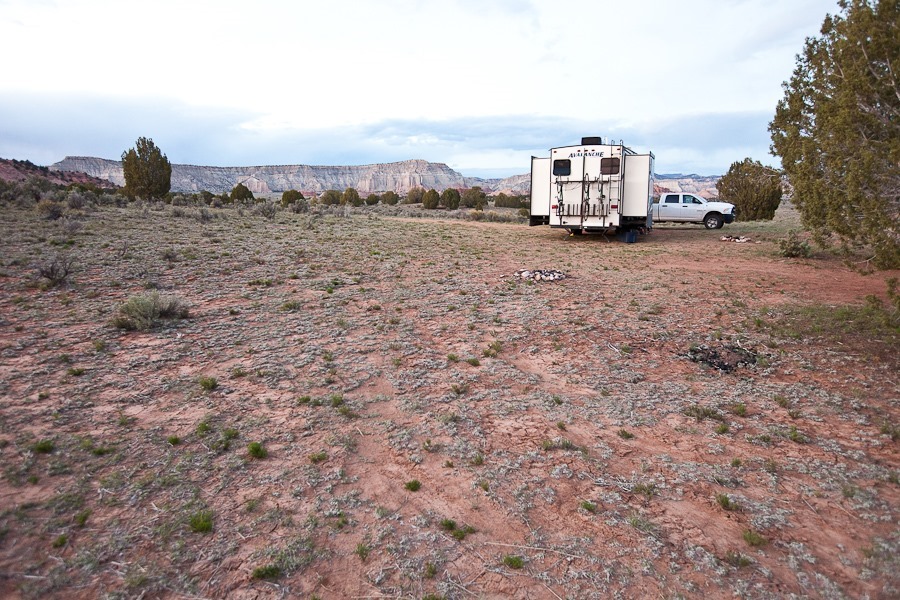
Dusk at Grand Staircase-Escelante National Monument:
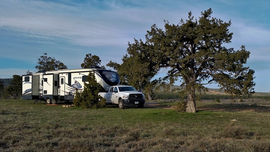
It was another chilly morning in the Dixie National Forest:

We went back into Bryce Canyon National Park where the kids submitted their Junior Ranger books and received their badges:

We drove east and descended off the plateau:

We stopped in Cannonville to visit one of the Grand Staircase-Escelante National Monument visitor centers, across the street from this abandoned house:


We got a permit at the visitor center to do dispersed camping in the Monument, and found this nice spot:

We detached the truck from the RV and drove to Willis Creek, where we hiked the narrow canyon:


A waterfall forced us to hike around to get back into the canyon:


Towards the end of the hike, the canyon widened:

Heading back:


Another waterfall:

The hike track is in two parts:
Driving south, we stopped at Bull Valley Gorge, a difficult to traverse and deep slot canyon. We drove across the bridge and parked, then walked back across the bridge and walked along the edge. Looking back, a shiny object is visible in the rubble that makes up the bridge:

See the truck wedged in the bridge? In 1954, a truck with three occupants missed the bridge and fell 60 feet into the canyon. Two occupants fell out of the truck to their deaths over a hundred feet below on the canyon floor. The third occupant died in the truck, and his body wasn’t extracted until months later. Eventually, it was decided that the truck would make a great base for a new bridge. Rock, trees, and stone were pored into the canyon over the truck until the debris pile was flush with the canyon rim, and that was the new bridge:

We drove back to the RV in time for sunset:


B and I went for a walk and found some flowers growing under a tree:


See the trip map for today’s drive and our current location.
We awoke to a beautiful but chilly morning at 7800 feet, dispersed camping in the Dixie National Forest:
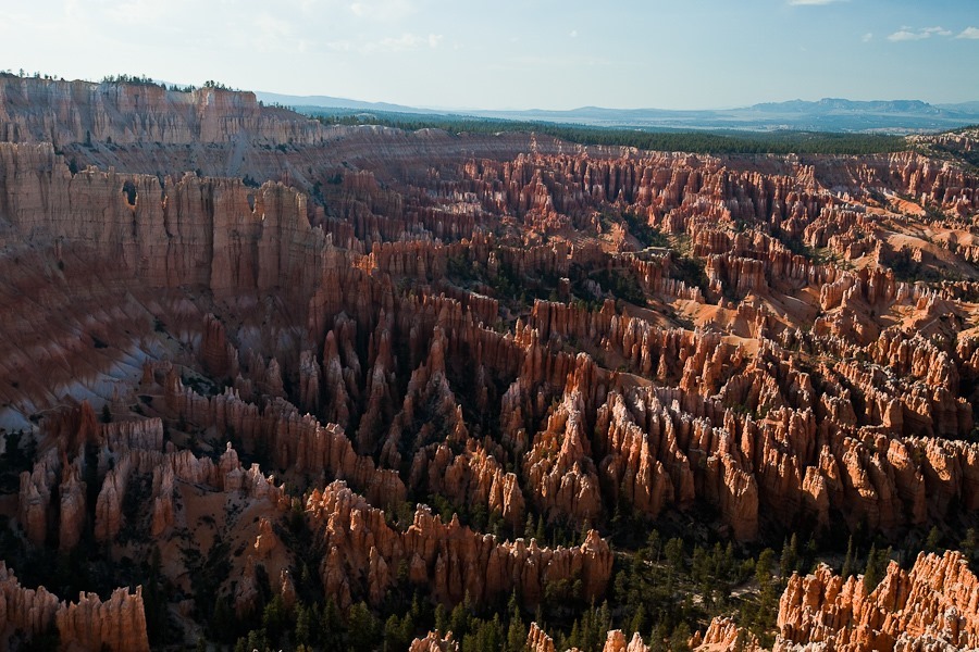
Less than a ten-minute drive away was Bryce Canyon National Park. We left the RV at the visitor center and drove to the Sunset viewpoint to view the hoodoos, sandstone towers carved by wind and water:
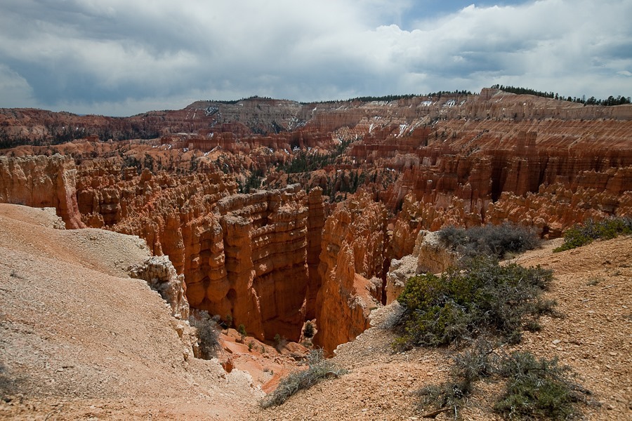
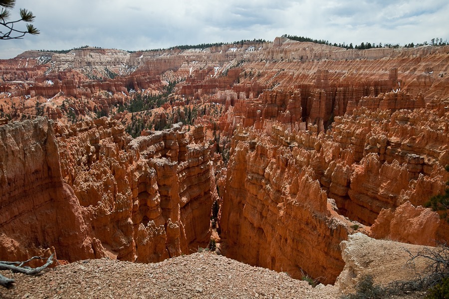
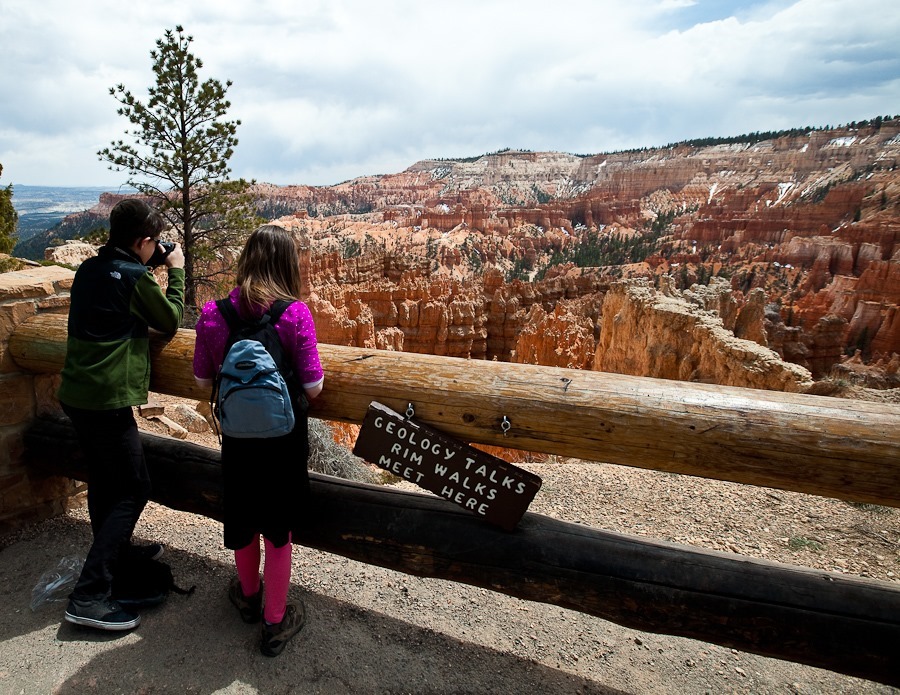
We hiked along the rim to the Sunrise viewpoint:
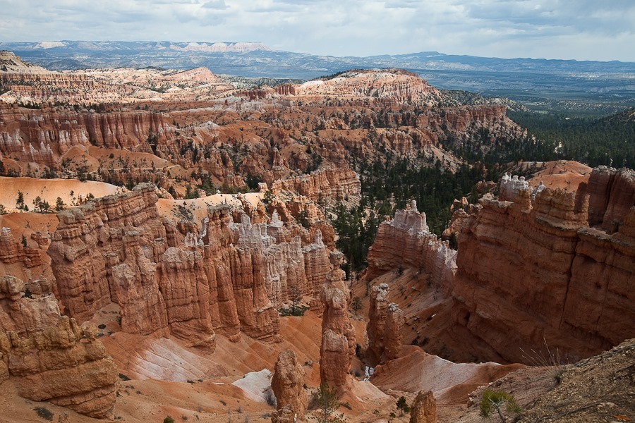
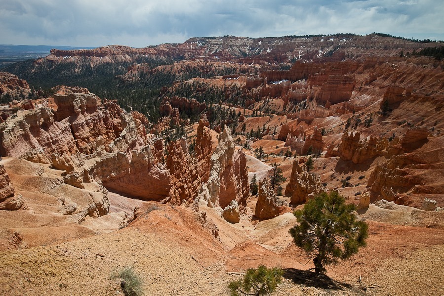
We then hiked down below the rim on the Queen’s Garden trail:
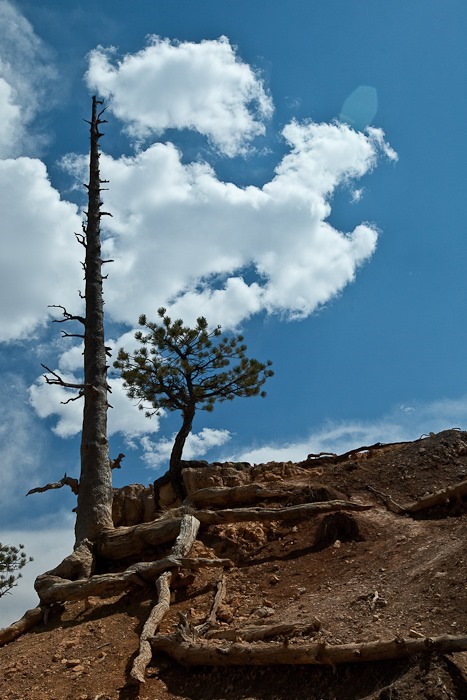
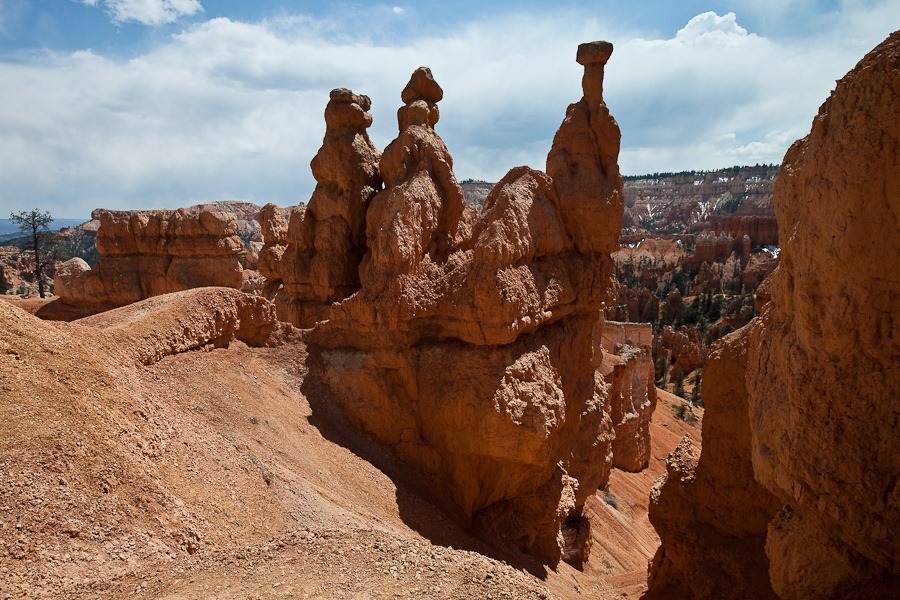
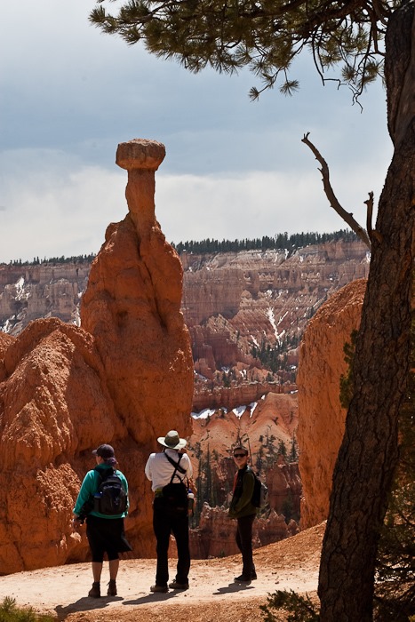
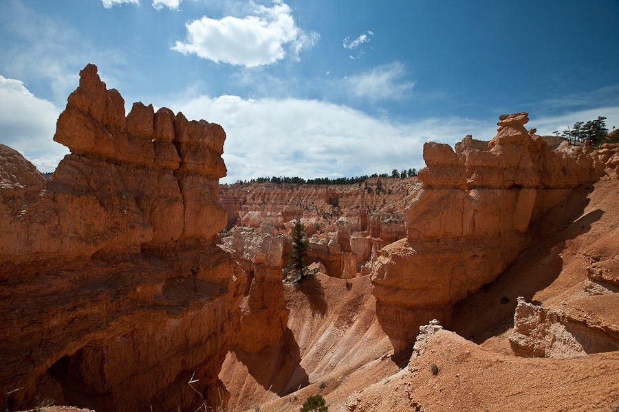
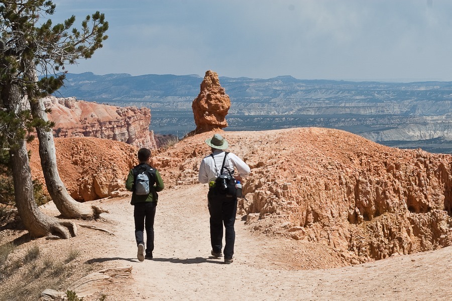
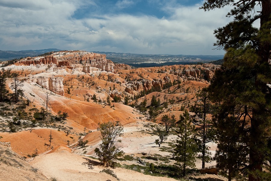
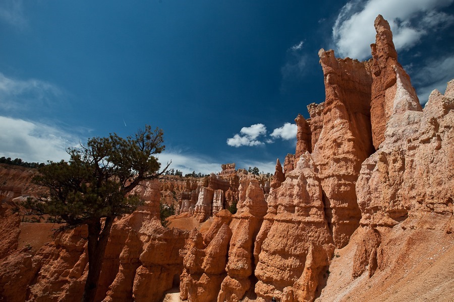
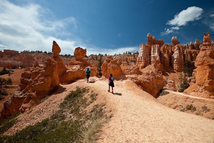
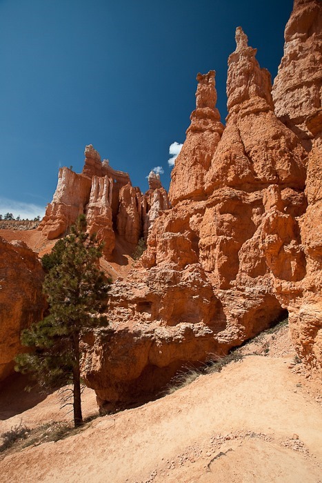
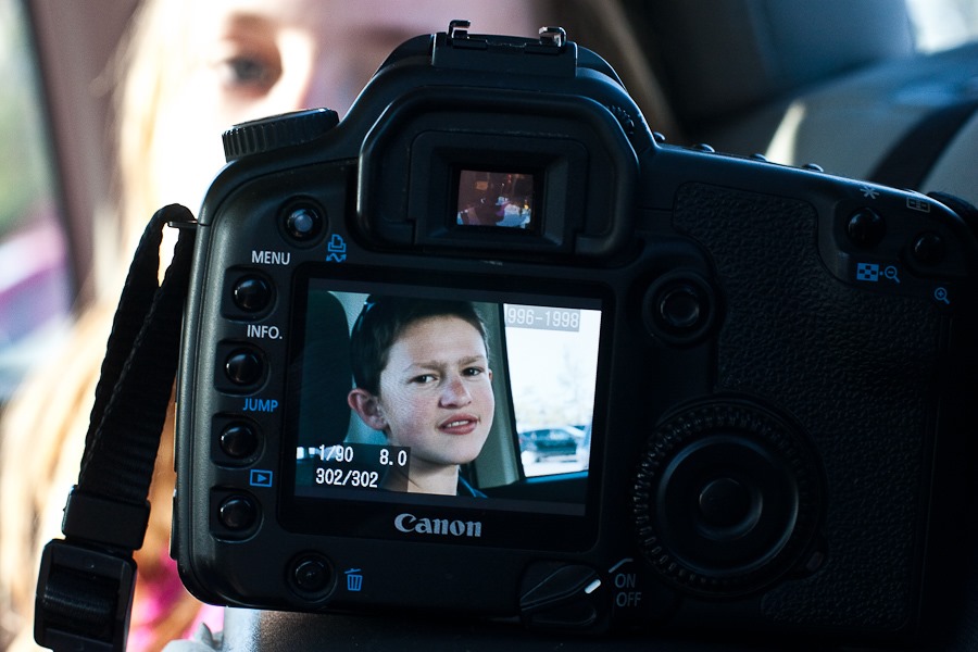
The kids brought their DSLRs on this hike:
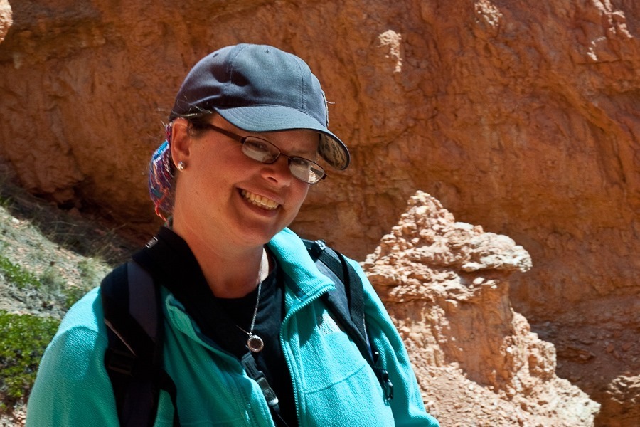
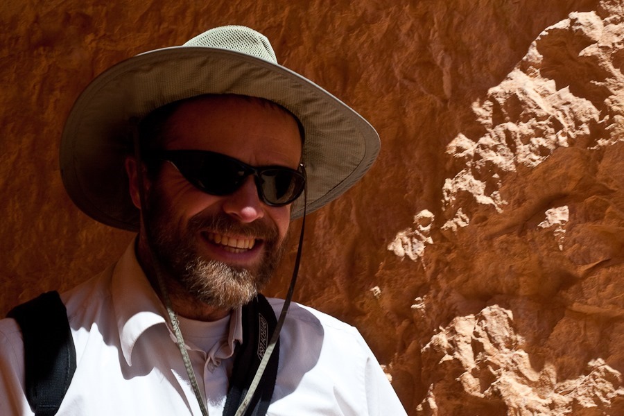
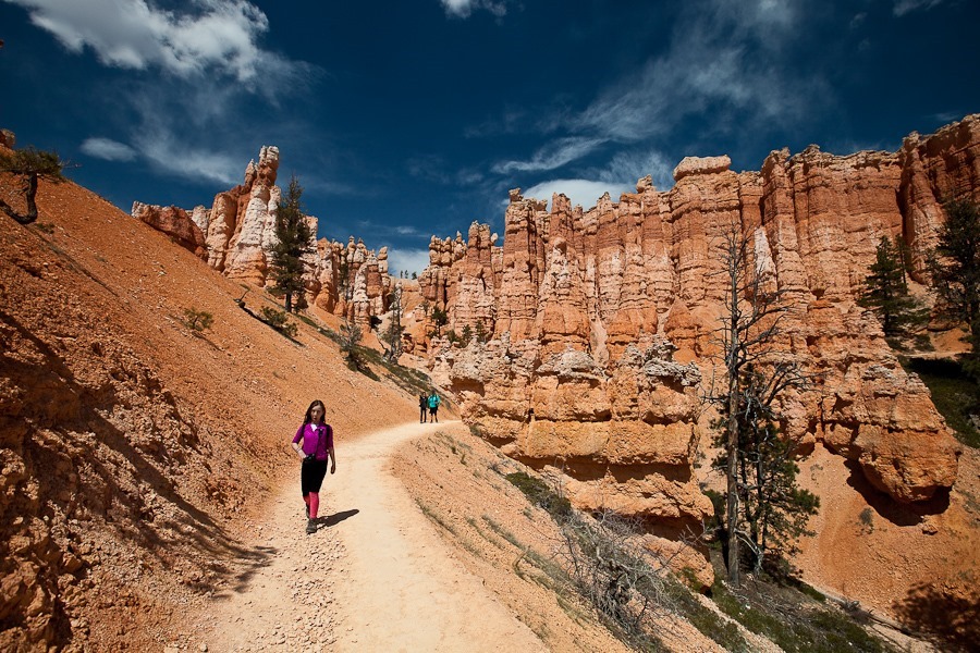
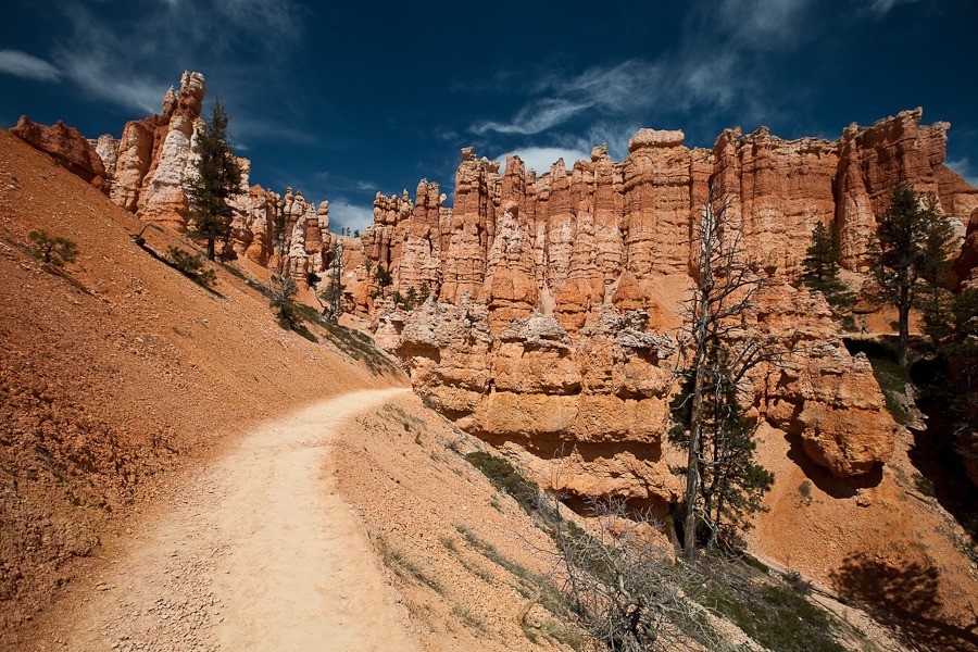
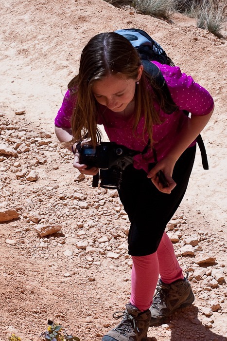
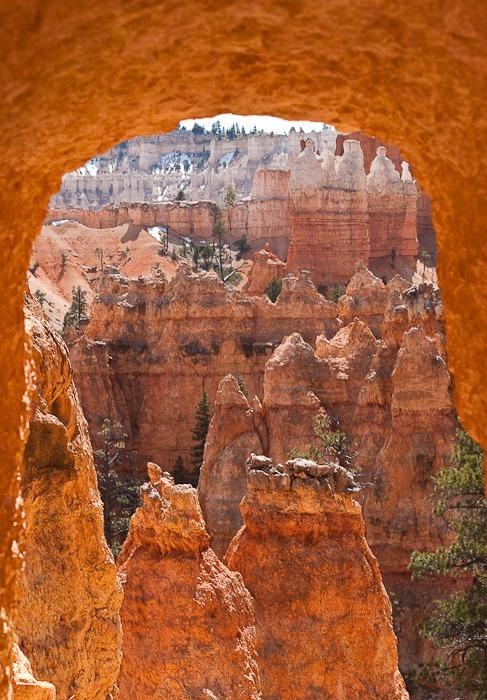
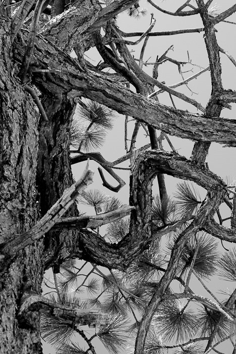
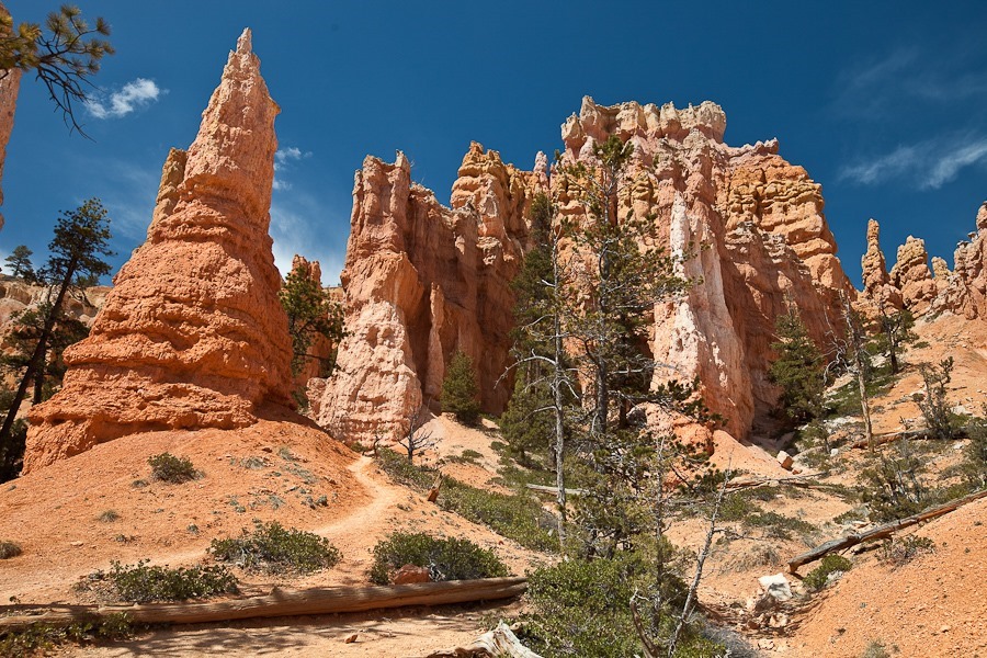
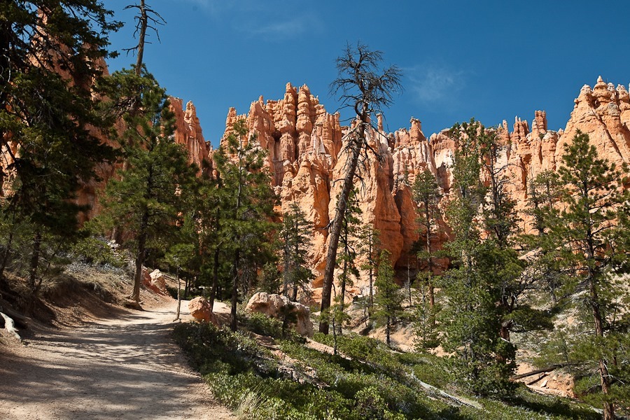
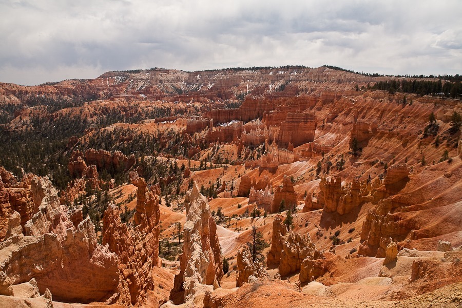
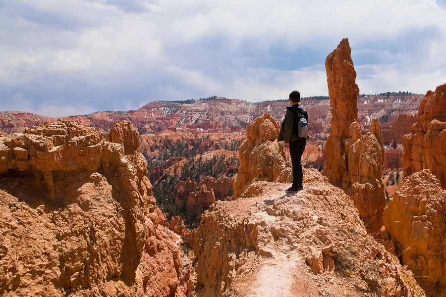
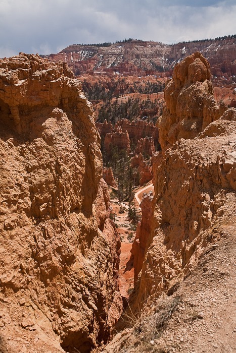
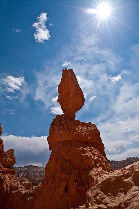
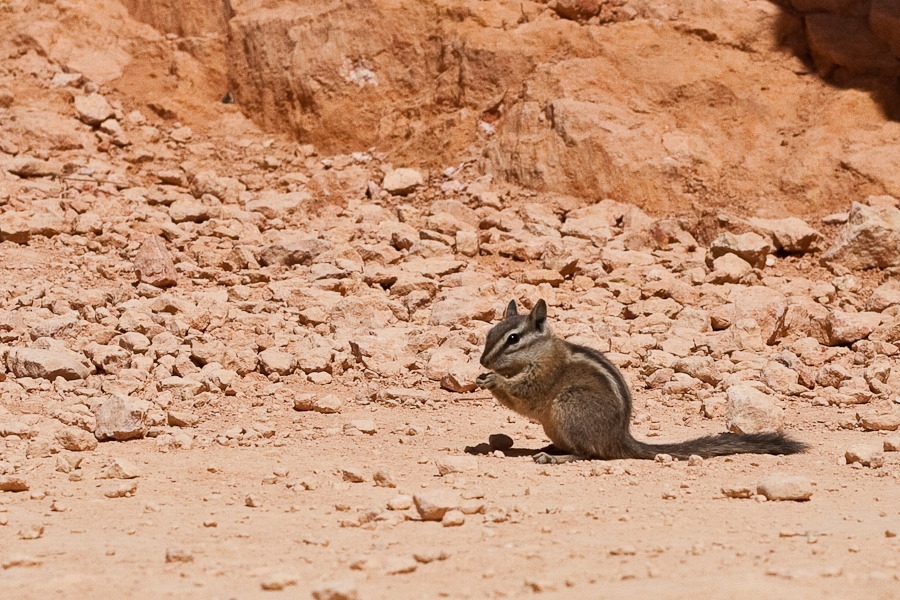
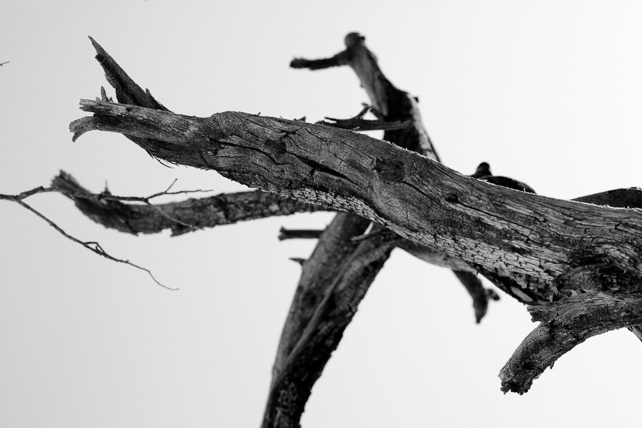
This is how M imagines himself:
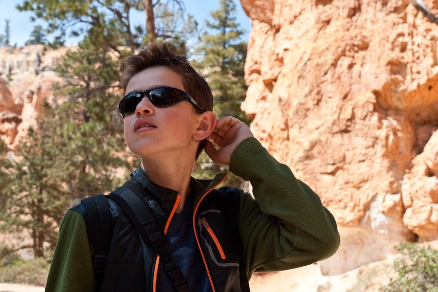
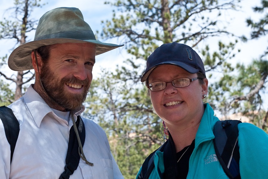
The hike back up to the rim passes this double arch:
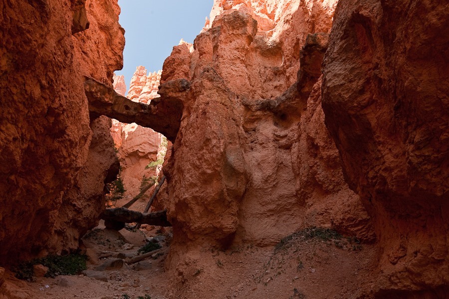
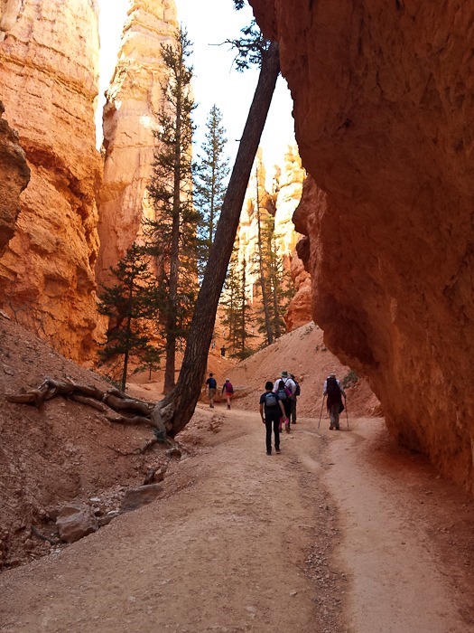
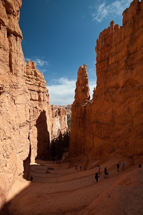
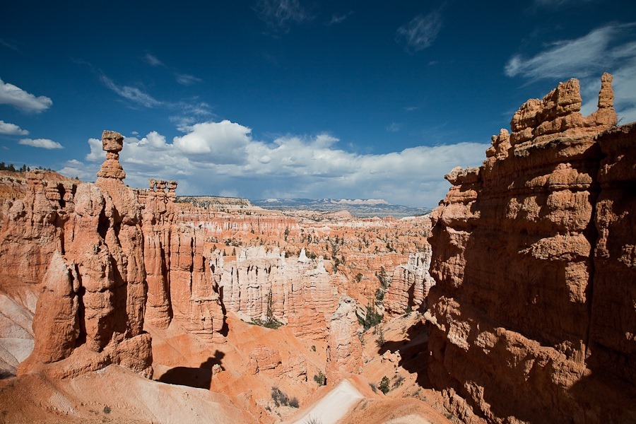
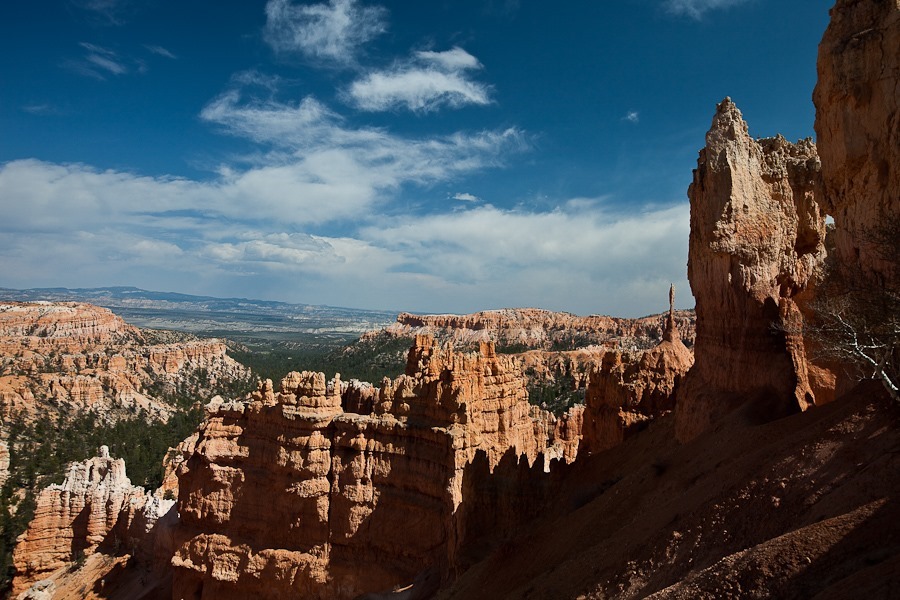
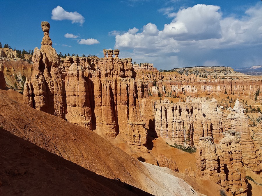
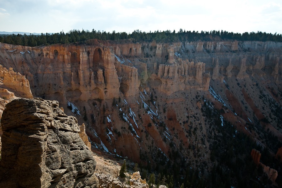
After completing the hike, we drove south to the high end of the park, then drove back to stop at various viewpoints along the way. The southern end of the park is at over 9000 feet, so there’s still snow on the ground:
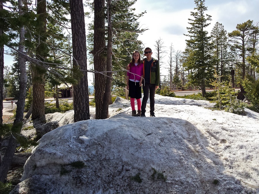
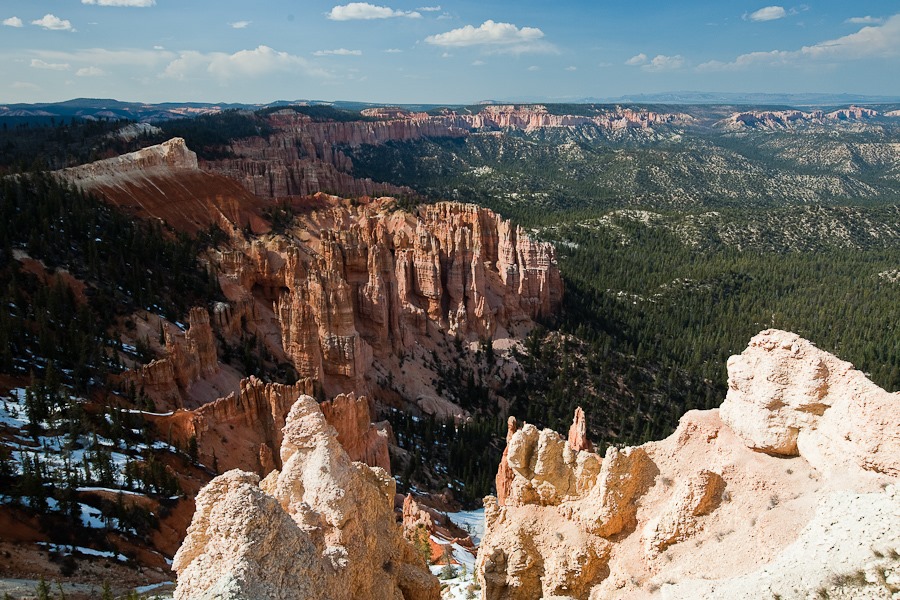
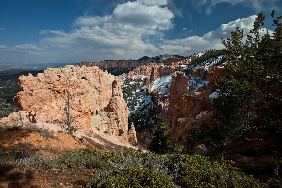
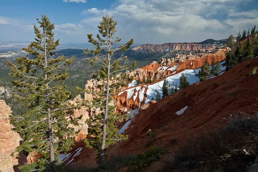
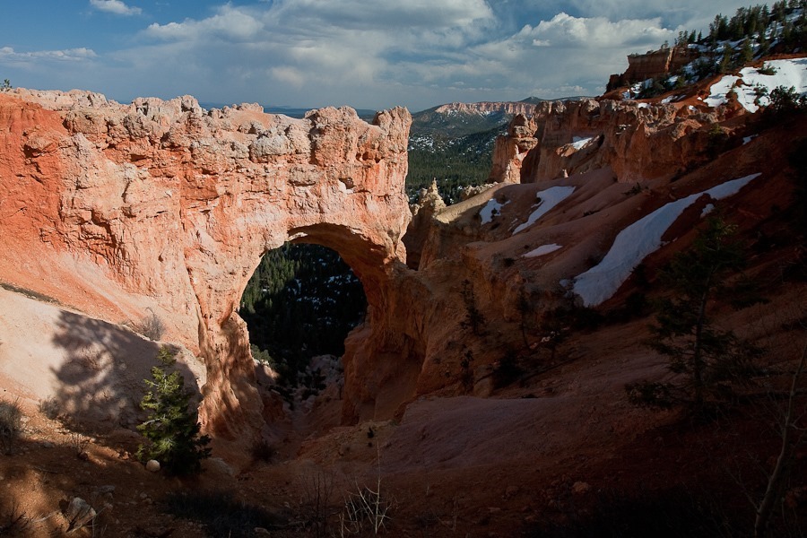
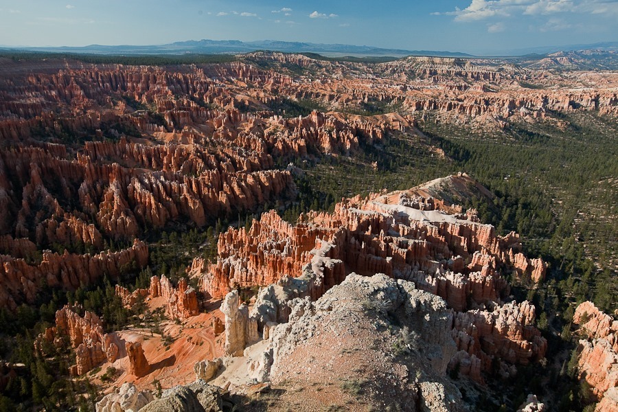
Inspiration Point was amazing:
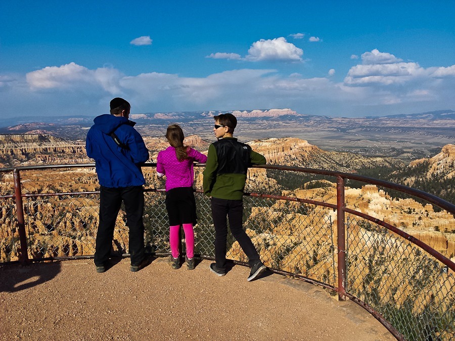
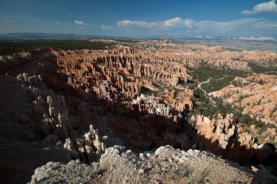
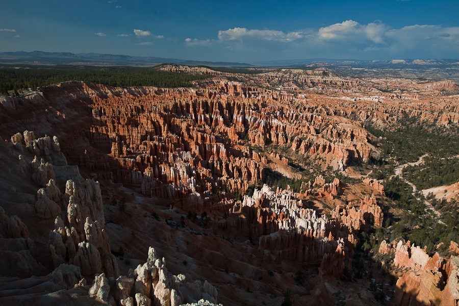
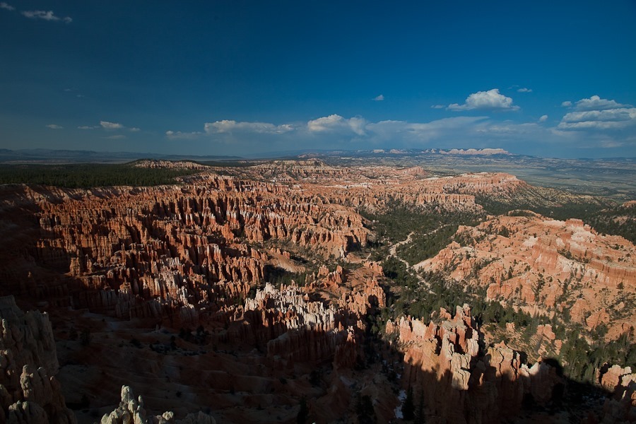
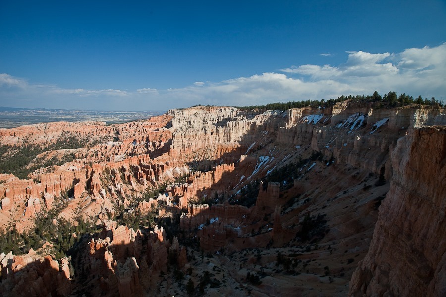
There are panhandlers in the park:
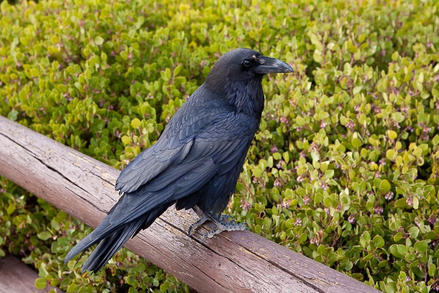
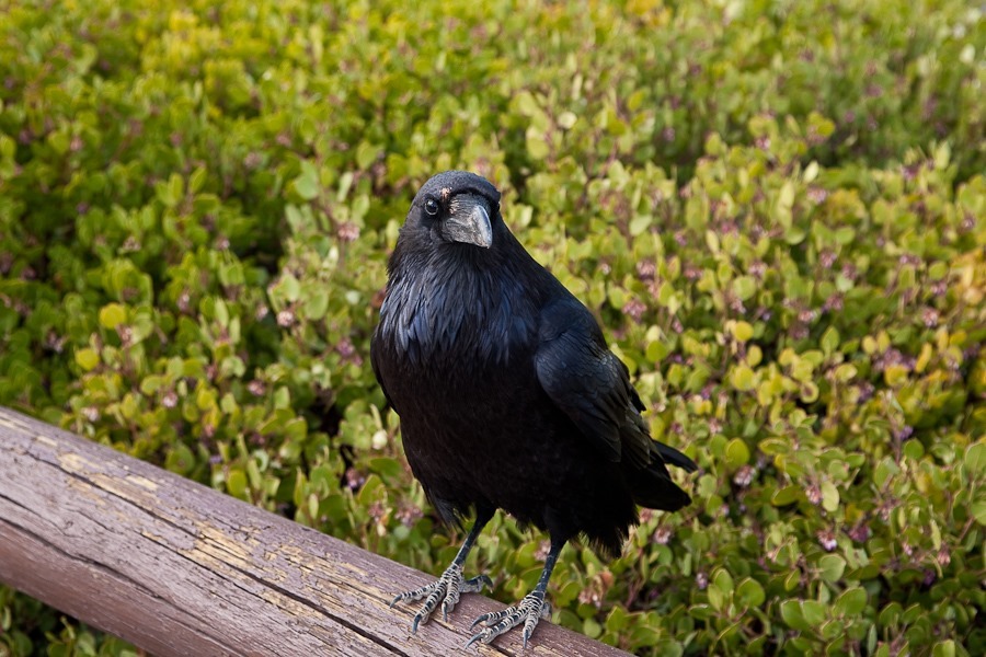
Fun with cameras:
Bryce Point is supposed to be the best place to photograph at sunrise, but I thought the sunset views were magnificent:
Tonight we overnighted in the Dixie National Forest a few yards from the park boundary.


 Facebook
 Instagram
 Email
Email