When we visited Ellis Island and the Statue of Liberty this past autumn, those sites had run out of badges, so we received them now. Since both sites are part of the same NPS unit, we received two identical badges, even though each site had its own Junior Ranger workbook:
We visited Fort Pulaski in 2012 but didn’t hand in the workbooks during our visit:
We picked up a few packages and filled up our water in Santa Fe and headed back to the RV. M received his much-anticipated R/C truck today, but more about that tomorrow:
After considerable efforts, we failed to find a place to park in Santa Fe for Shabbos, so we decided to stay here at the Camel Rock Casino for Shabbos.
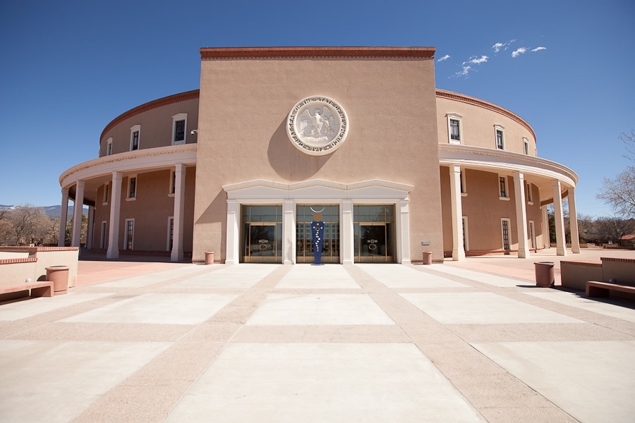
Today we drove into Santa Fe to visit the New Mexico State Capitol building, the only round capitol building in the US:
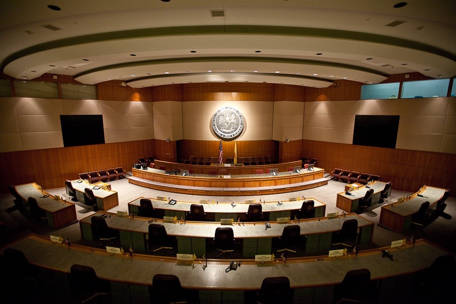
The Senate chamber:
The House of Representatives chamber:
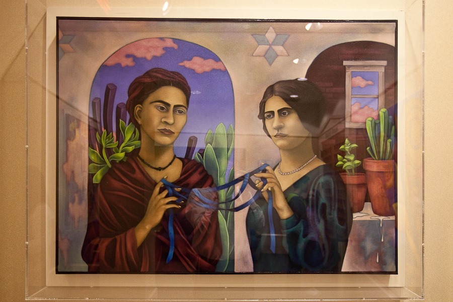
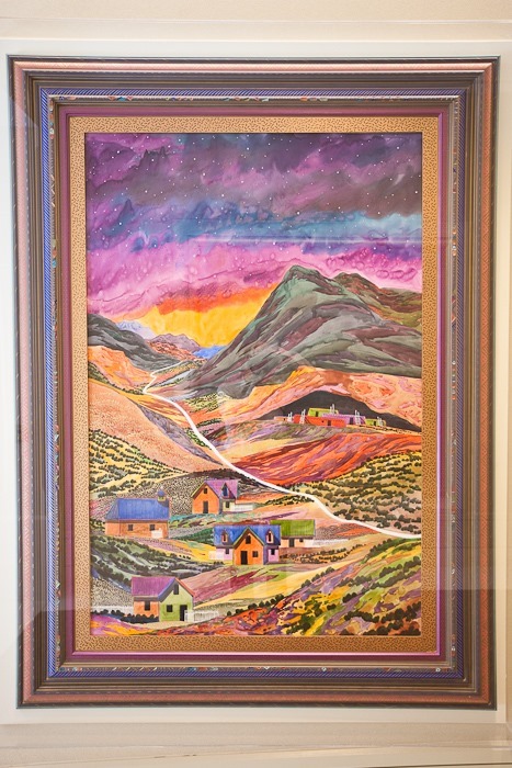
The capitol building’s walls are covered in art wherever possible, including this work in which the artist painted a portrait of Frida Kahlo with the artist’s grandmother:
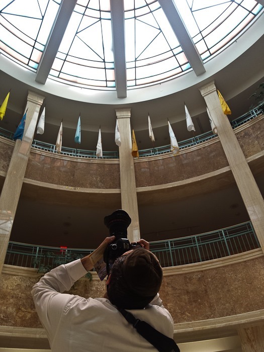
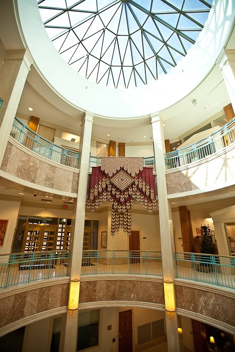
View from the balcony:
This buffalo head was made from all different kinds of materials. For example, the “fur” between the eyes is made of paintbrushes:
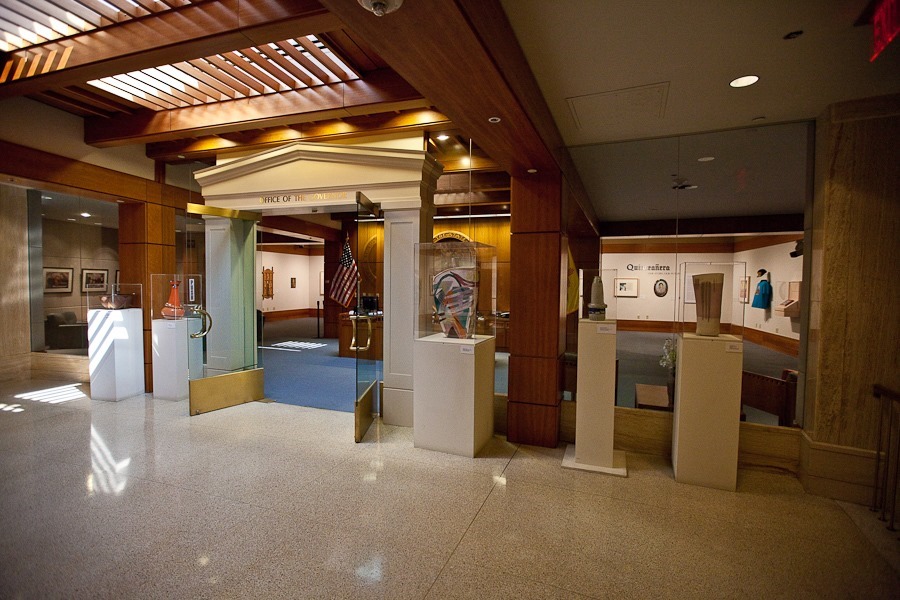
The office of the Governor:
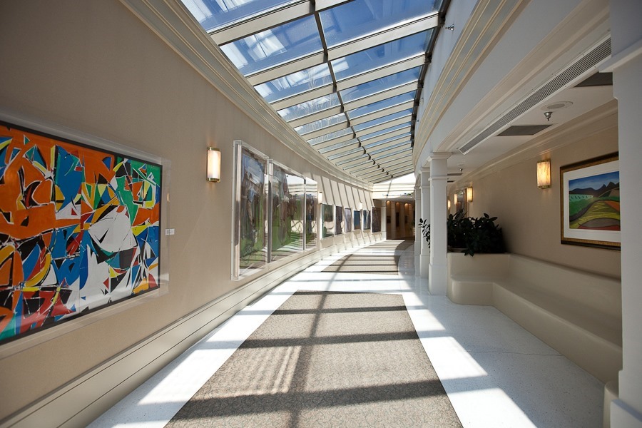
We walked through the hallways that led to the North Capitol building:
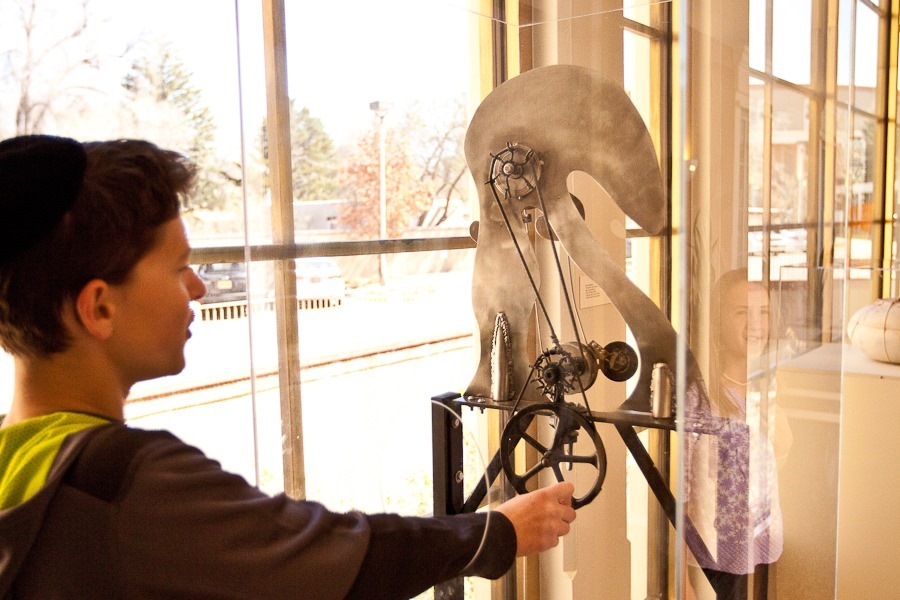
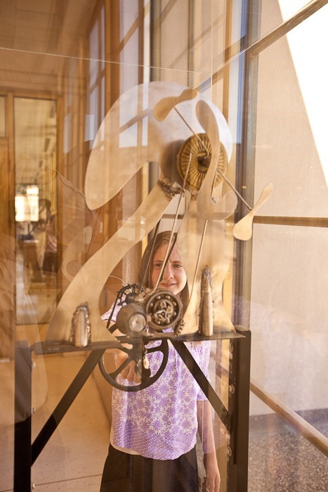
This interactive sculpture is called “Political Machine”. It didn’t work well. Perhaps that’s the point:
The North Capitol building:
We next stopped at a used book store. The owner suggested things to see in the area:
As casino camping goes, this is a pretty nice spot:
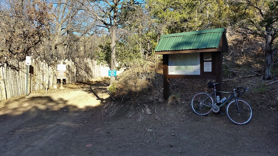
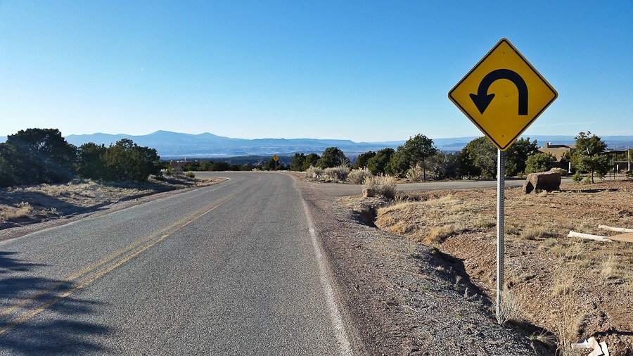
I went for a ride up into the mountains. The pavement ended at this trailhead:
View on the way back down:
On the way back to the RV, I stopped by Camel Rock, the geographic feature for which the casino is named:
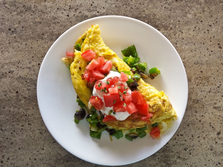
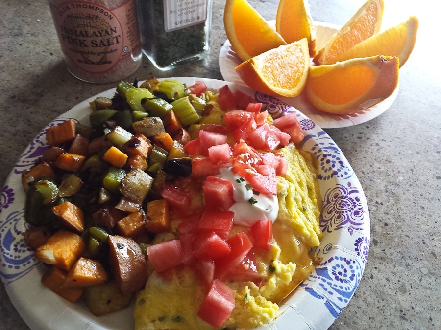
This morning Trish surprised us with another successful culinary experiment:
There’s always something:
We’ve traditionally stored our leveling blocks in their included storage bags. The bags recently fell apart, so we switched to straps. A couple days ago we realized that the blocks fit perfectly on their sides in their compartment without bags or straps:
We dropped of the RV at a tire shop to replace the tire that we punctured on Day 932. I had used a plug kit to seal the hole, but it started to leak. The tire shop suggested that we replace the tire as it had minor belt damage around the hole, so we decided to play it safe and replace the tire.
We had a few hours until the tire was ready, so we decided to try complete the Junior Wagon Master workbooks we picked up at Fort Union National Monument. The workbook, nearly 100 pages long, contains activities for the entire Santa Fe Trail, divided into four geographical sections. Today we worked on the “Western Terminus” section.
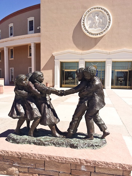
Following the instructions in the workbook, our first stop was this sculpture of travelers on the Santa Fe Trail:
Our next stop was the Santa Fe National Cemetery, where we needed to copy the inscription on the tombstone of Charles Bent, first Governor of the New Mexico Territory. In 1847, he was scalped alive and then murdered during the Taos Revolt. Bent’s tombstone is to the right of the large obelisk:
Our last stop was the Santa Fe Plaza, where we had to identify two mistakes on this marker for the western terminus of the Santa Fe Trail:
One side of the plaza is bounded by the Palace of the Governors. Built in 1610, it’s the oldest continuously occupied public building in the US:
Since the 1930s, Native Americans have sold their homemade wares on the porch of the Palace:
The kids completed their Junior Wagon Master workbooks, and we tried to have them checked at the Palace of the Governors, but they only had one patch left:
We drove to the Santa Fe NPS office, where we received a second Junior Wagon Master patch from the author of the Junior Wagon Master workbooks, as well as a general patch for the Santa Fe Trail:
We returned to the tire shop, where I removed a wheel to have the tire shop do a camber rotation. The rear driver-side tire wears on the inside edge due to a poorly aligned or less-than-straight axle. The solution is to have the tire removed from the wheel and re-mounted the other way, so that for the second half of its life the tire can wear down what used to be the other, unworn edge. Here I’m remounting the rotated tire:
Next we stowed the new tire that replaced the punctured tire:
We tried really hard to find a place in Santa Fe to park for Shabbos, but none of the area synagogues could host us, so we drove north about ten miles to overnight at the Camel Rock Casino on the Tesuque Pueblo. After dinner we played a rousing game of Mexican Train dominoes:
See the trip map for today’s drive and our current location.
This morning, we left the Walmart of Las Vegas, New Mexico after another great breakfast by Trish:
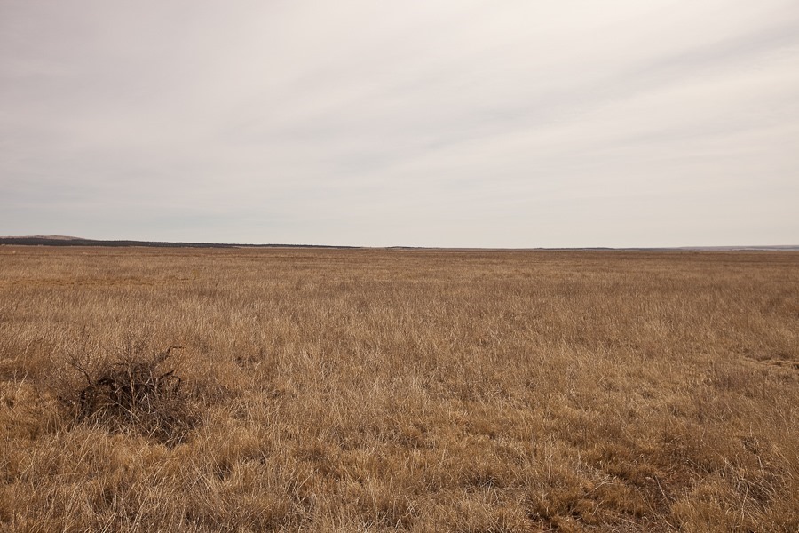
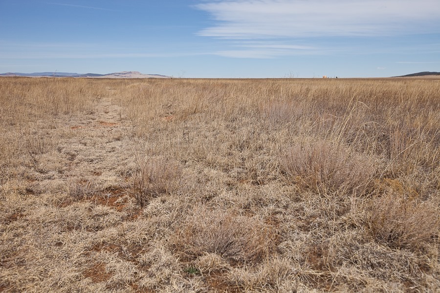
We drove east, crossing the southern edge of the Rocky Mountains and finding ourselves in the aptly named Great Plains. If I squint, I’m pretty sure I can see St. Louis. I exaggerate, but after spending months in the West, this feels very, very flat:
The linear depression in the distance across the photograph is the Santa Fe Trail:
We continued northeast to Fort Union National Monument. The fort was built to subdue Indian tribes and protect travellers on the Santa Fe Trail. Built in the 1850s, the fort met a sudden demise with the obsolescence of the Santa Fe Trail due to the arrival of railroad service from the East. Suddenly a fort with nothing to guard, it was abandoned by the Army.
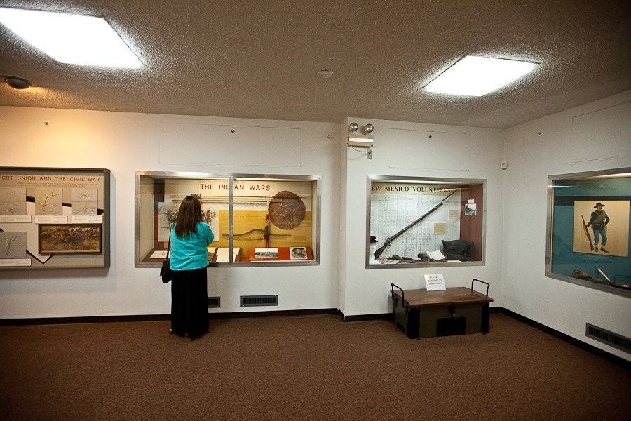
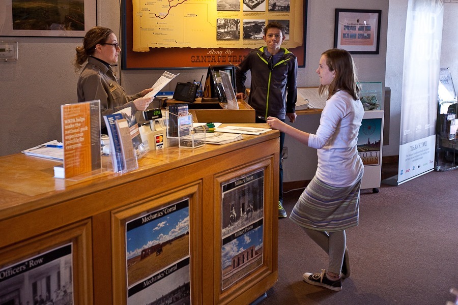
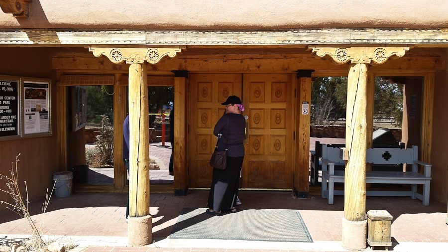
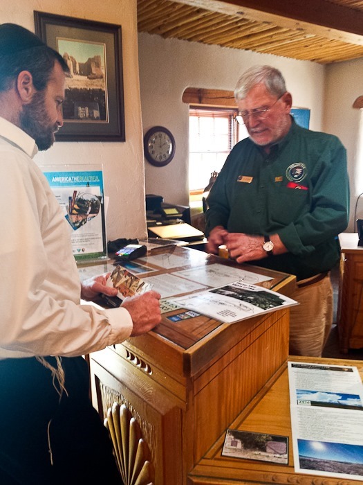
We checked out the visitor center:
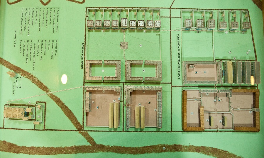
A model of the fort, in its day the largest military installation in the West:
The hospital building is adjacent to the visitor center:
Our first stop was the second fort site. Little more than earthworks, it was designed to repel a Confederate assault. Southern forces did invade and conquer southern New Mexico, but this site never saw action, as Union forces from here deployed to the southwest where the Confederates were turned back at the Battle of Glorieta Pass. The contours of the fort are faintly visible:
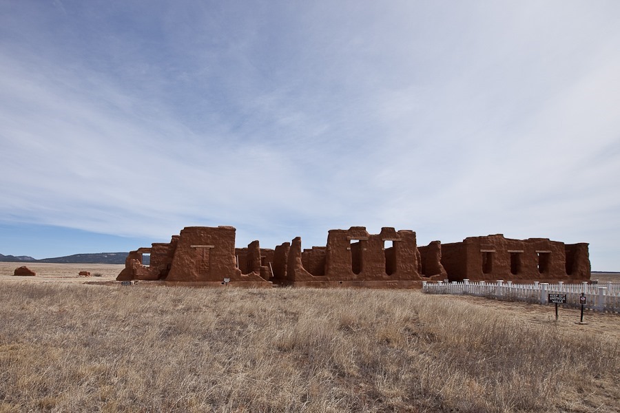
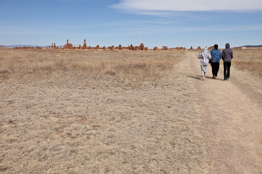
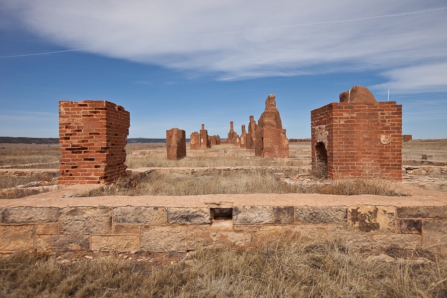
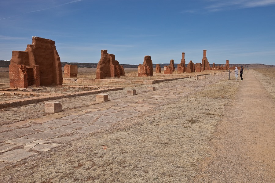
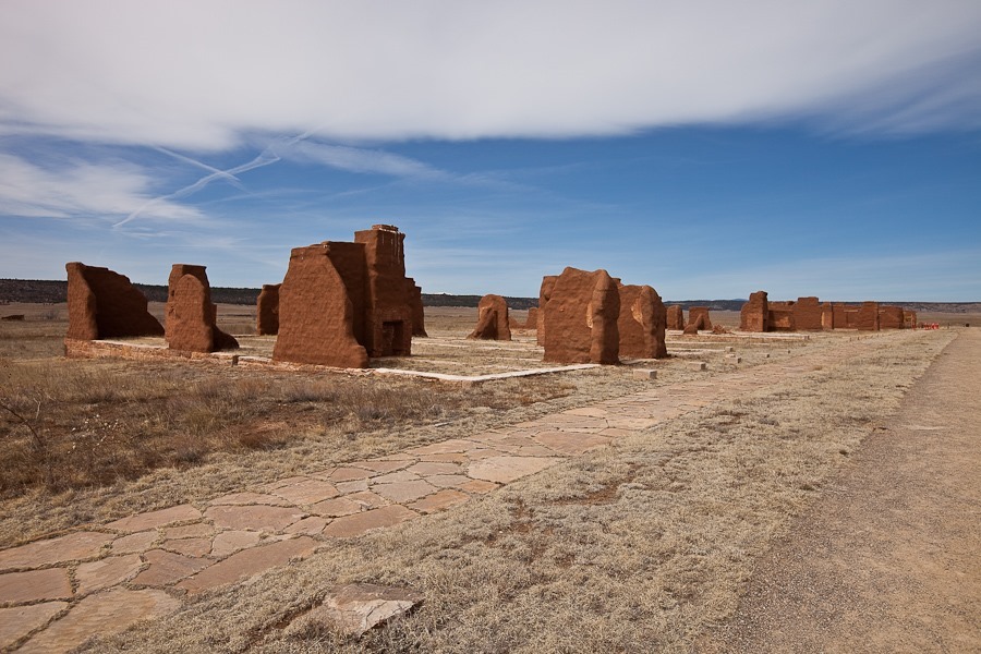
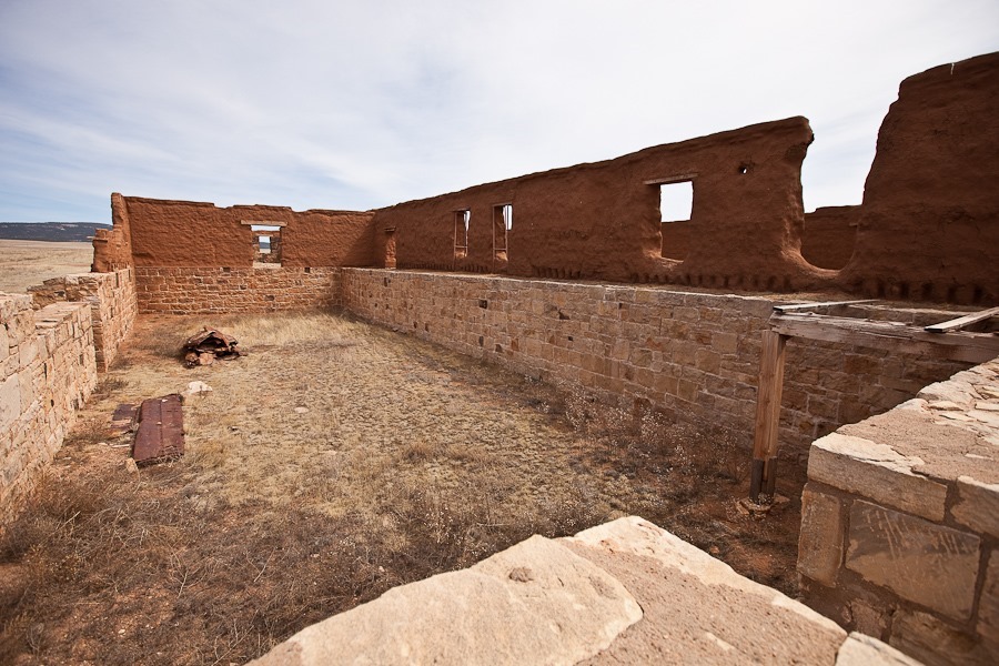
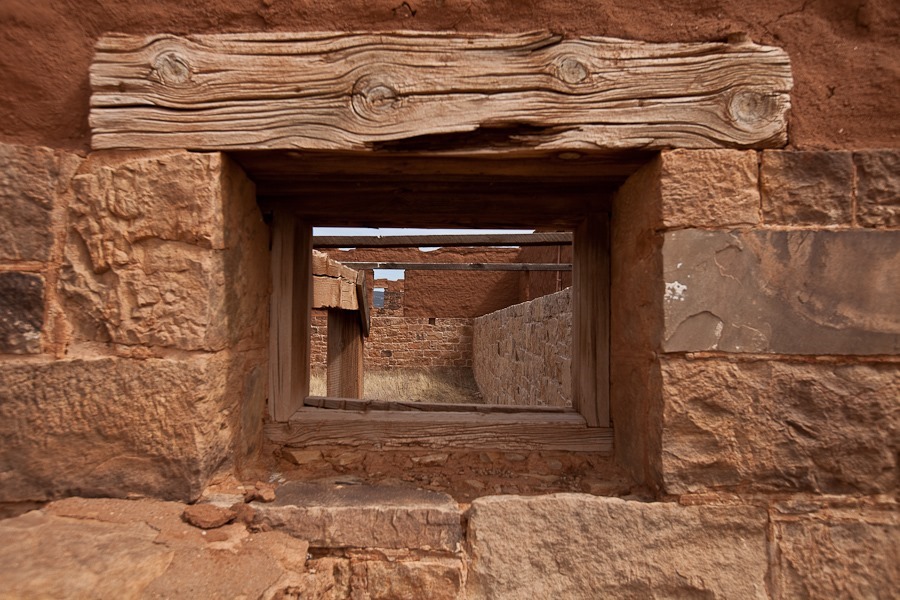
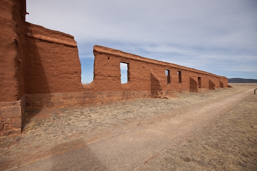
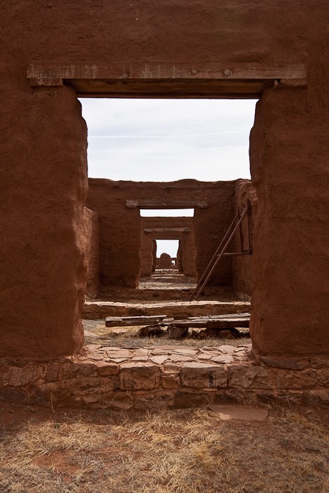
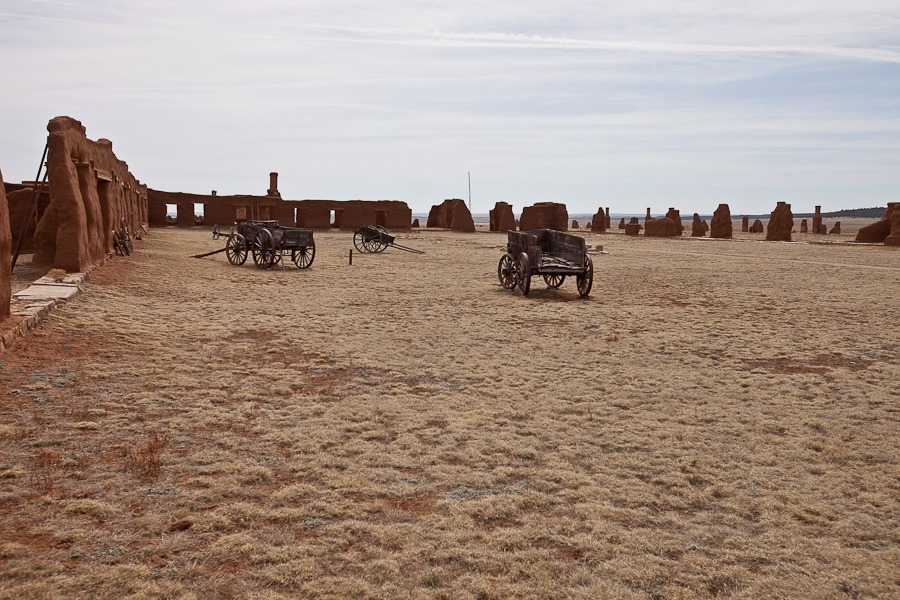
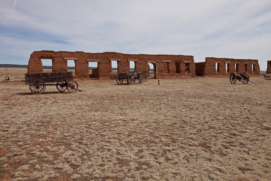
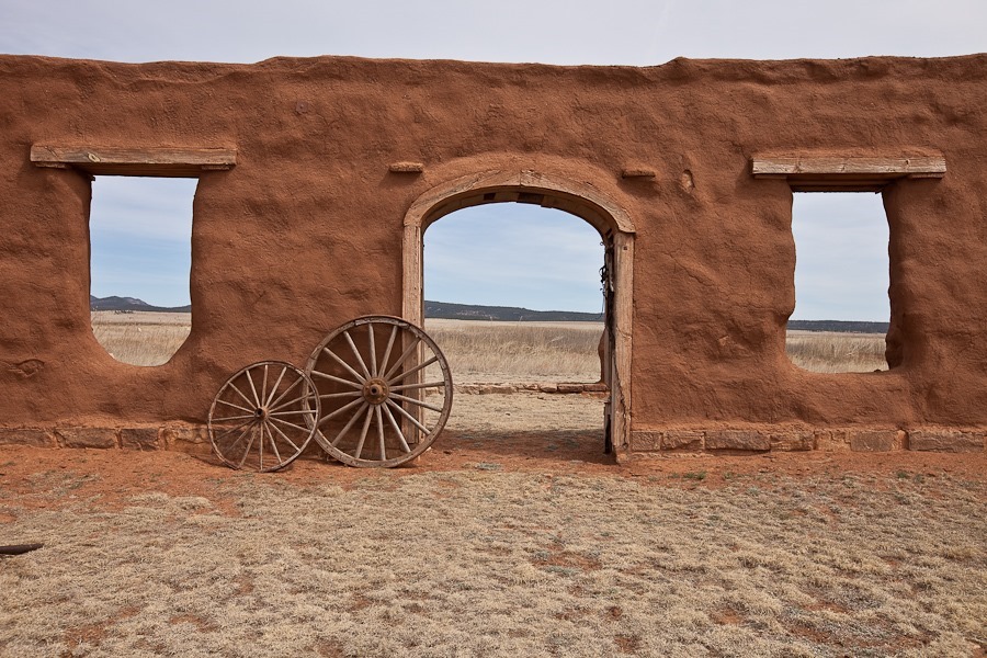
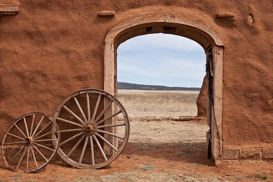
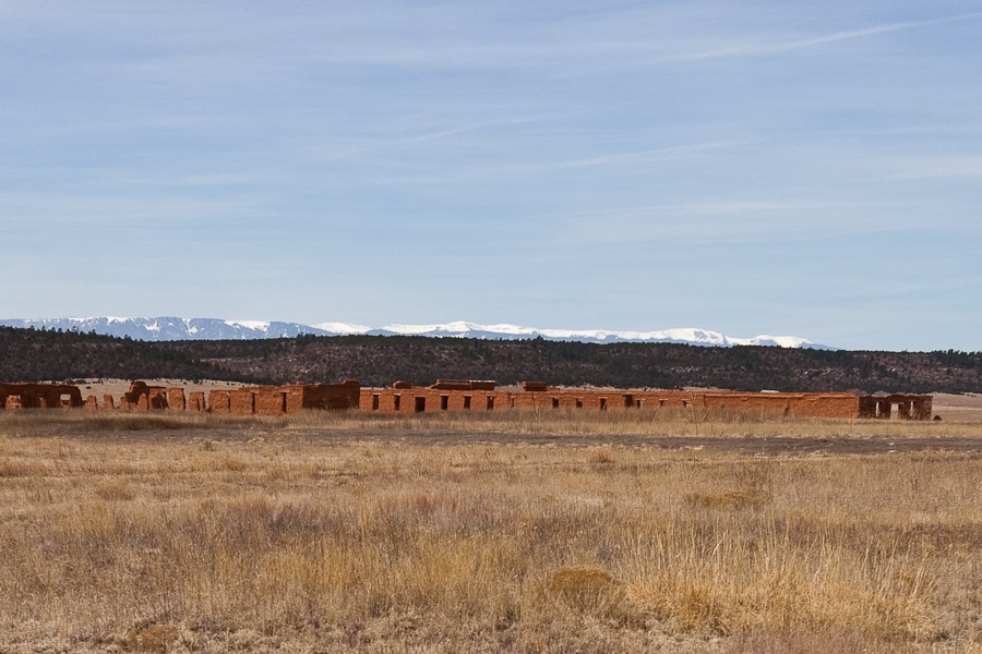
The third fort was built of adobe, and has fared better than the first two forts:
Officer barracks:
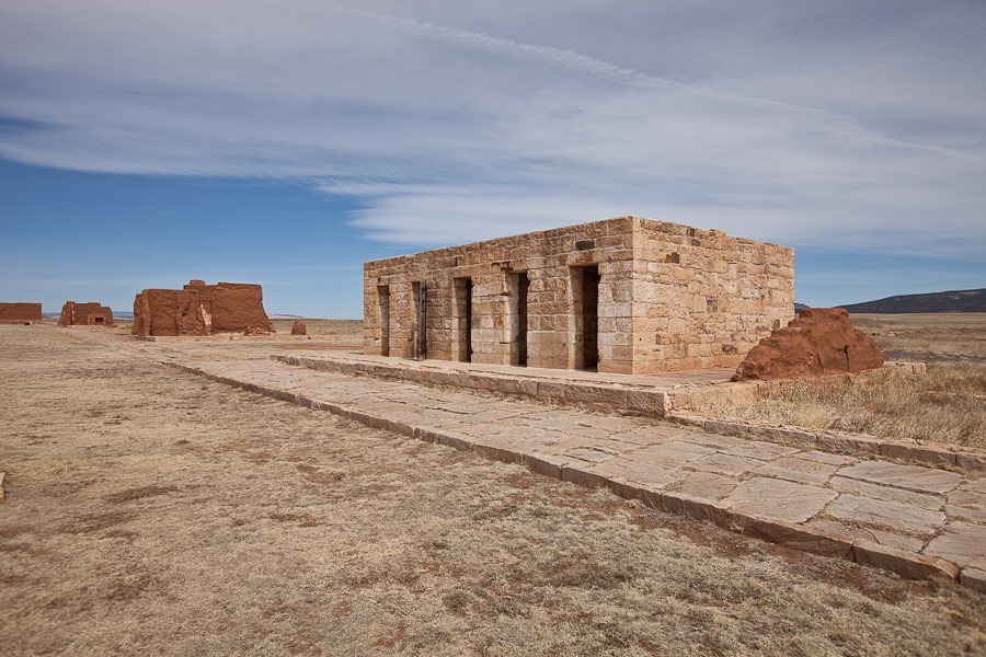
The prison:
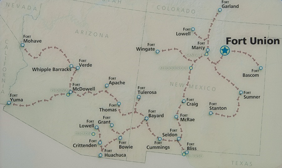
Fort Union was the logistical hub for military control of the Southwest. The fort was both a military post for regional defense and a military depot for distribution of supplies throughout the region:
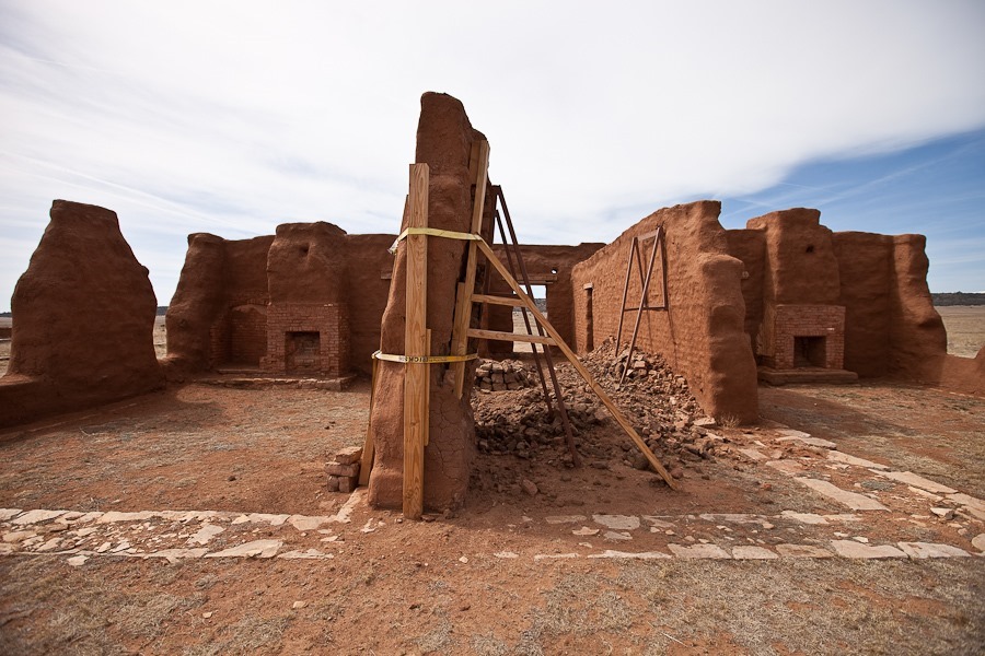
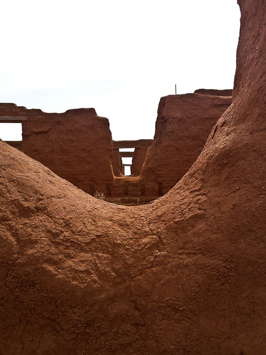
Some walls require heroic measures to save them from collapse. After over 125 years, some of the mud walls are starting to fail:
A warehouse in the depot:
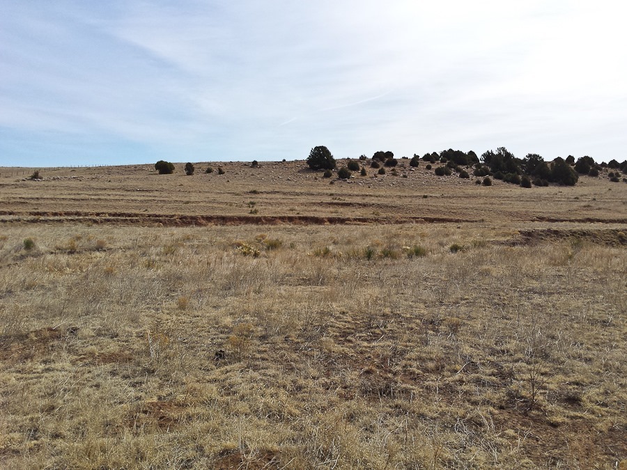
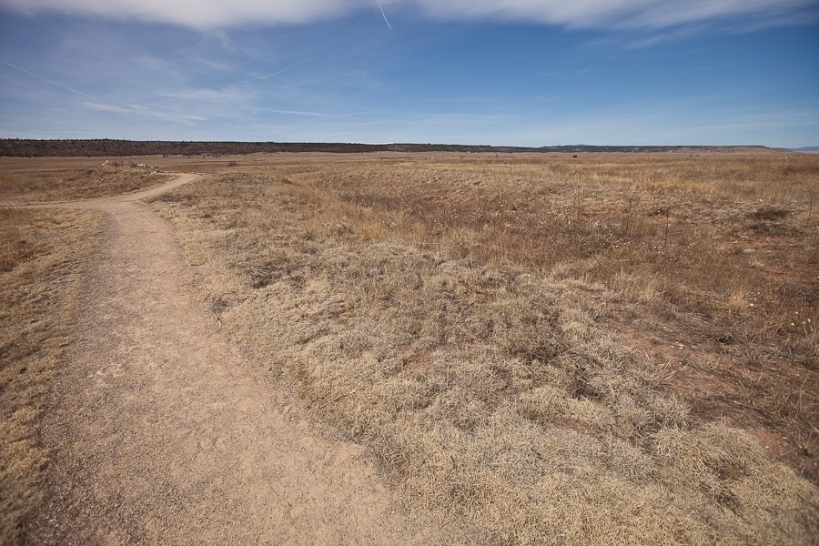
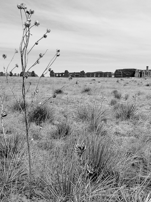
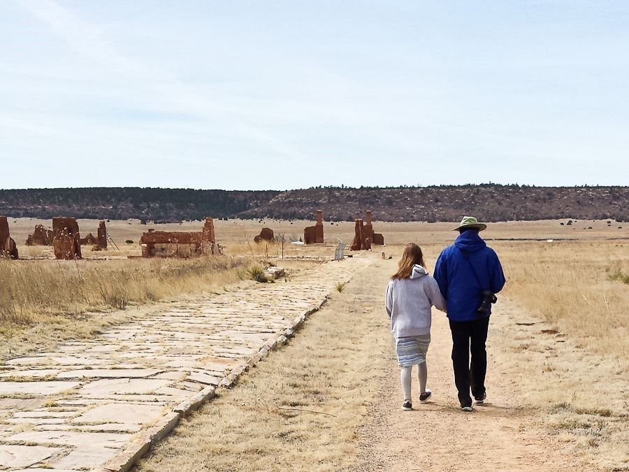
The faint trail along the left edge of the photograph is the Santa Fe Trail:
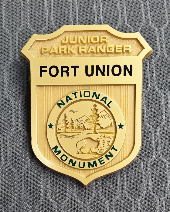
The kids completed their Junior Ranger workbooks and received their badges:
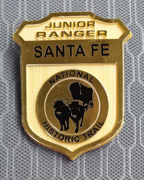
They also completed the workbooks for the Santa Fe National Historic Trail:
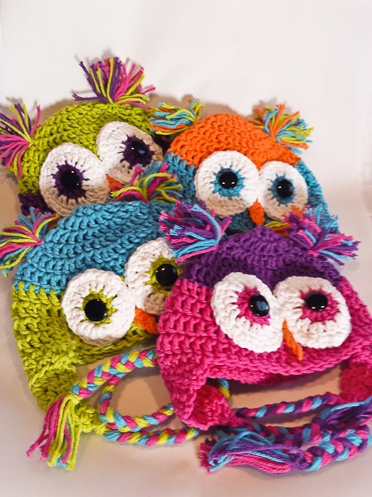
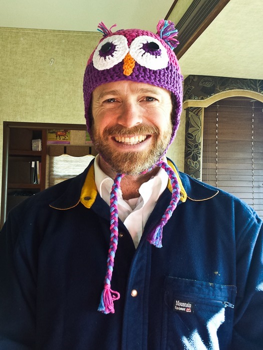
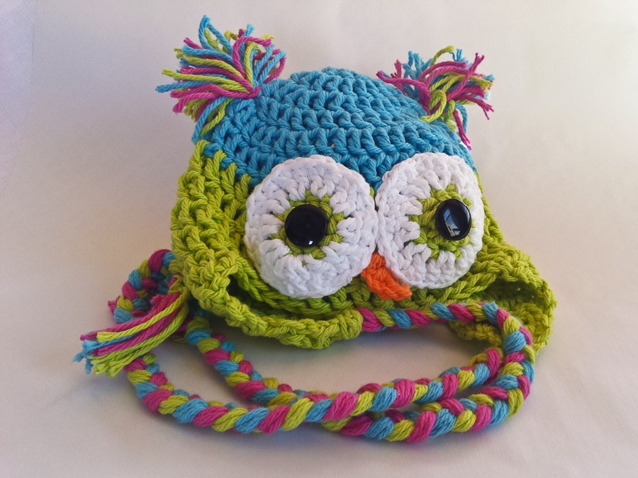
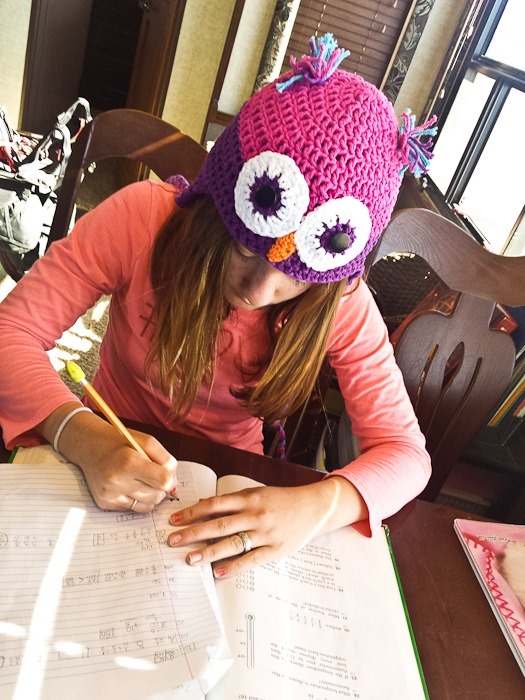
Saying goodbye to the fort, we drove west towards Santa Fe. Trish made a few more owl hats during the drive:
We continued west to overnight at the Walmart of Santa Fe, New Mexico. See the trip map for today’s drive and our current location.
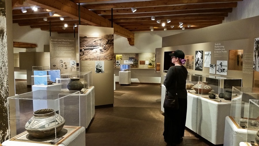
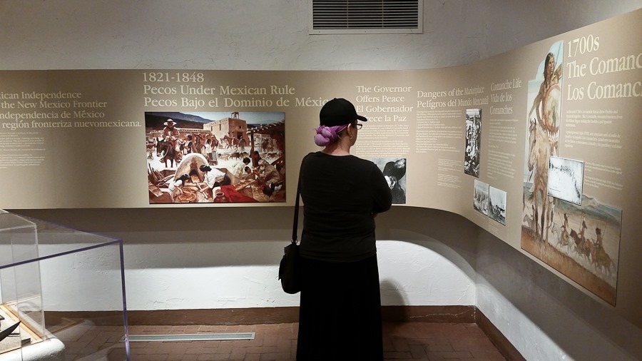
After watching the park video, we went through the visitor center’s exhibit space:
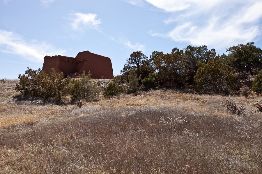
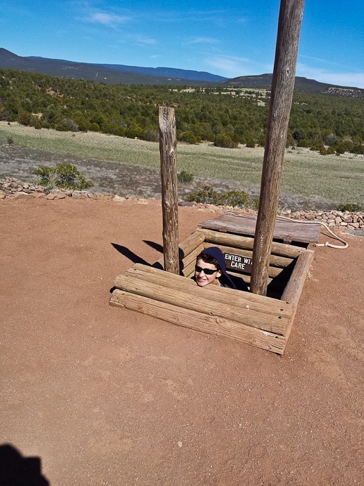
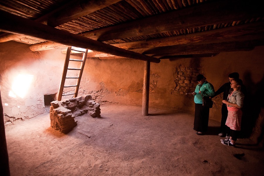
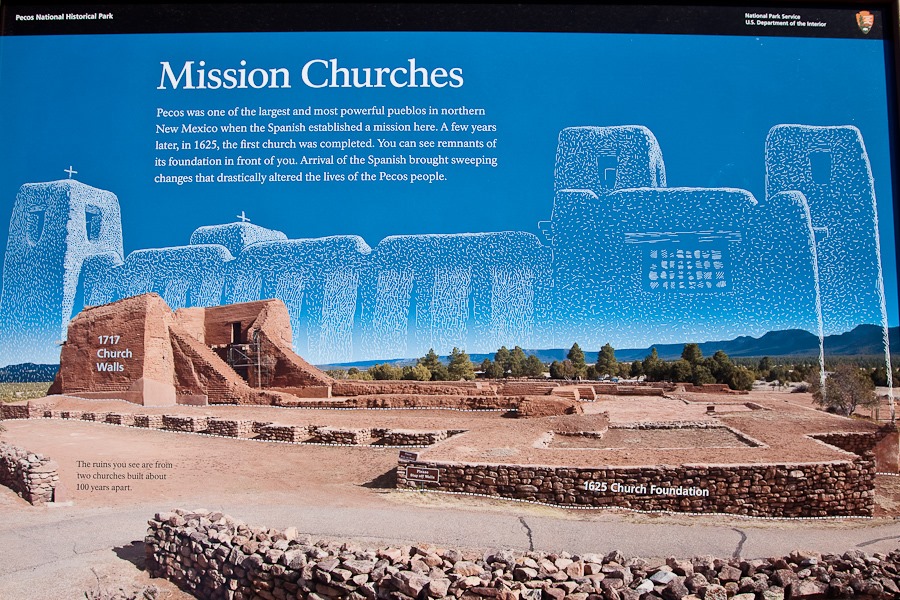
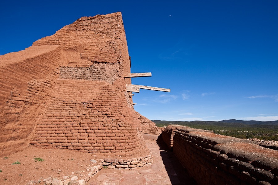
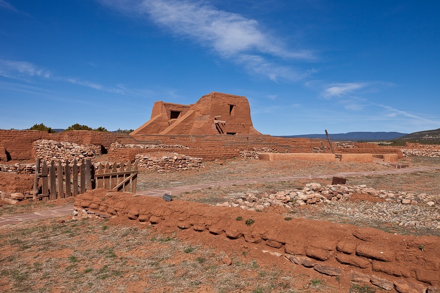
Out on the trail, we could see the church that was built here by the Spanish. Like at Salinas Pueblo Missions National Monument, an Indian pueblo stood here for centuries before the Spanish came and built a mission here to “civilize” the natives:
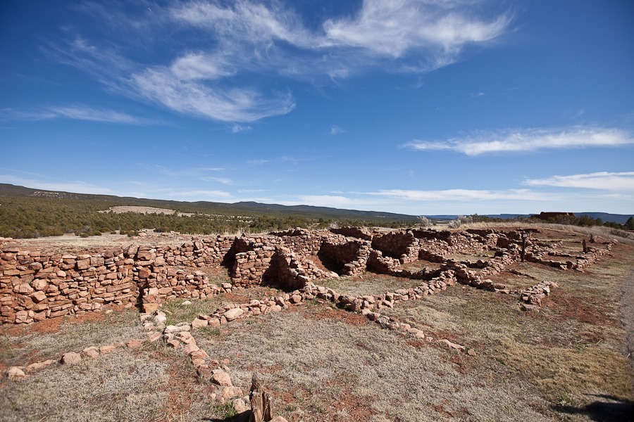
Most of the pueblo remains unexcavated, but this portion has been revealed by archeologists. This pueblo, built in the 1400s, housed over 2,000 people and was four stories high:
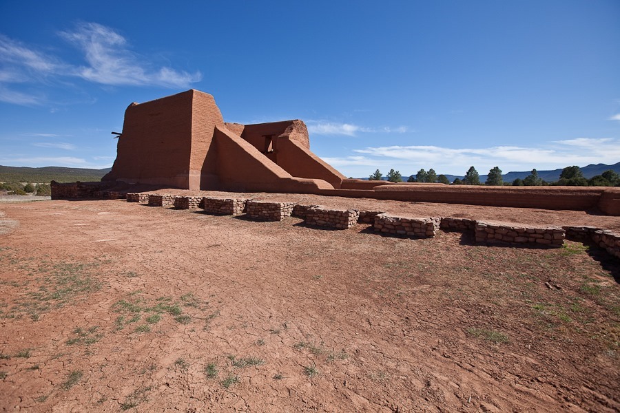
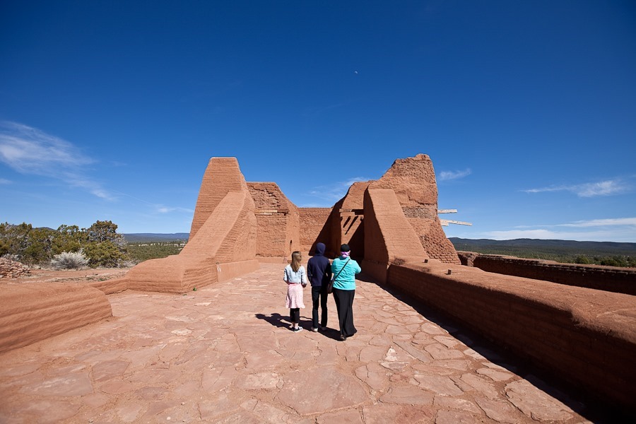
The first church was built here by the Spanish in 1625. It was destroyed by the Indians in the Pueblo Revolt of 1680. By the time the Spanish crushed the revolt in the early 1690s, the pueblo had fewer residents, so the second church, completed in 1717, was smaller than the first:
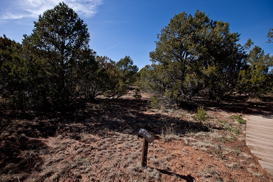
On our way back to the visitor center, we walked over the faint outline of the once well-travelled Santa Fe Trail:
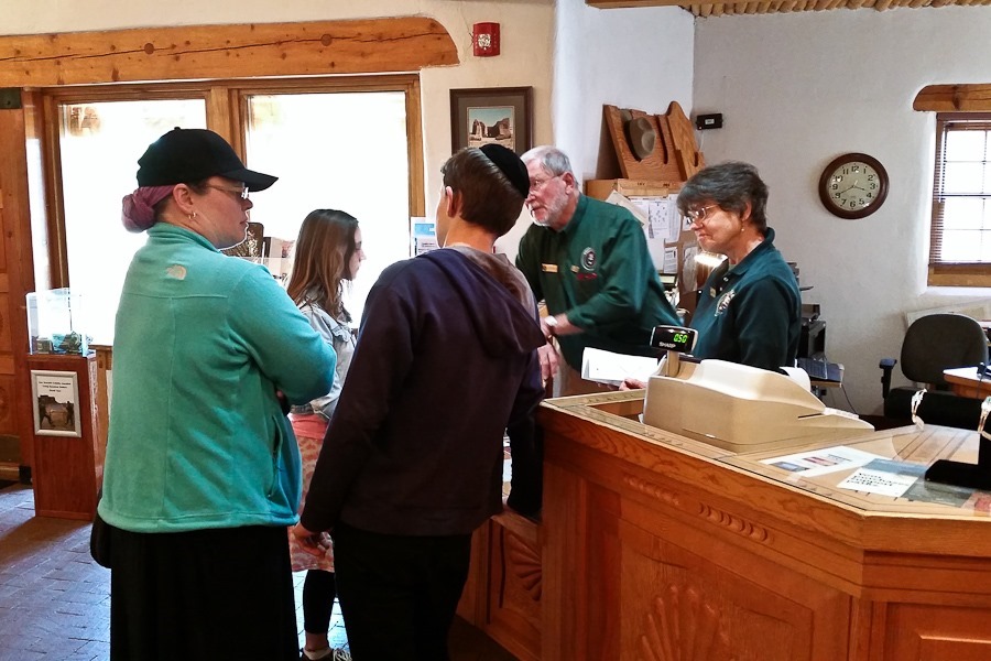
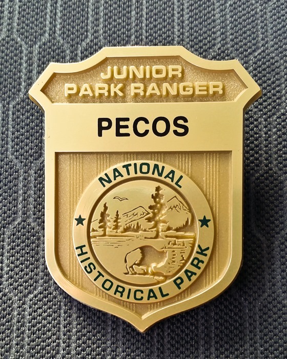
Back at the visitor center, the kids completed their Junior Ranger workbooks and received their badges:
From Pecos, we continued east to overnight at the Walmart of Las Vegas, New Mexico. See the trip map for today’s drive and our current location.














 Facebook
 Instagram
 Email
Email