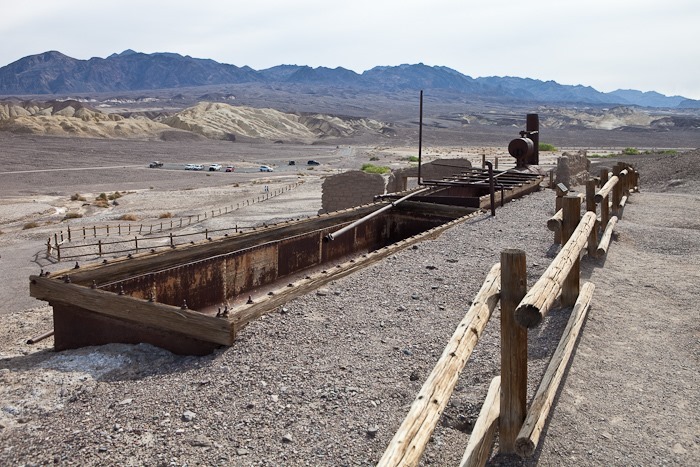
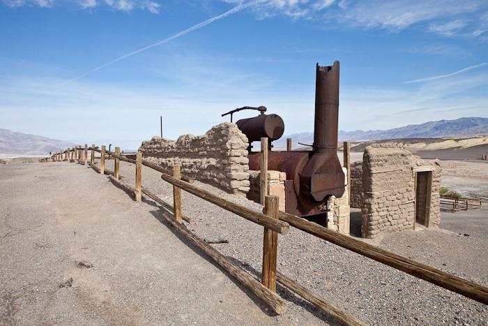
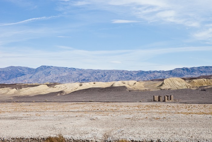
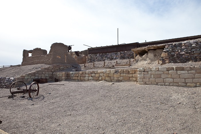
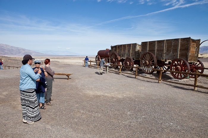
On this, our last day in Death Valley, we went out to Harmony Borax Works to view the equipment that was used to mine borax here before the creation of the park:
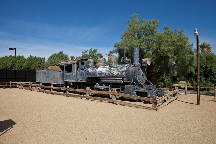
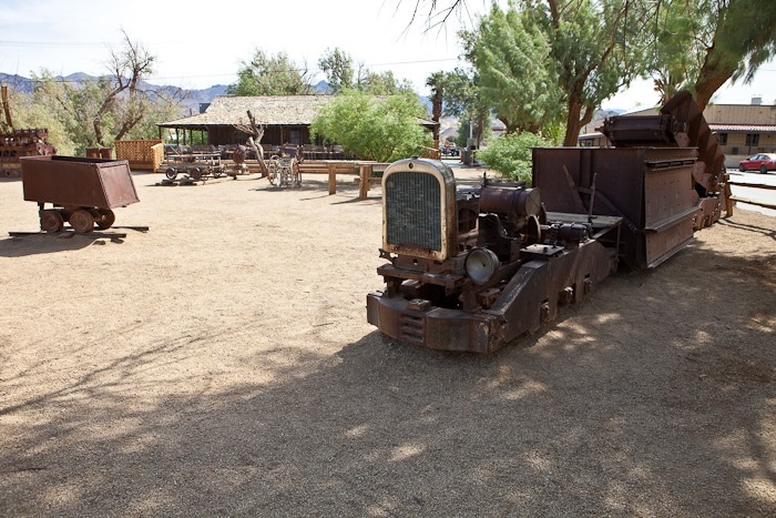
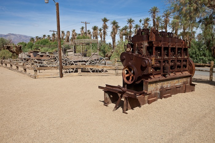
Back at Furnace Creek Ranch, we browsed the “rusty stuff” museum. This train was in much better shape back when I came here as a teenager:
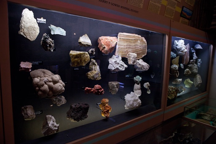
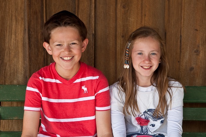
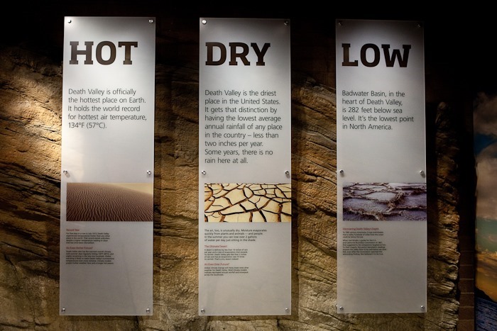
On the way out of Death Valley, the kids received their Junior Ranger badges and toured the visitor center. Death Valley is indeed a land of superlatives:
We left Death Valley and overnighted on BLM land just Southwest of Las Vegas. See the trip map for details. Good Shabbos!
This morning we drove down to Badwater, the lowest point in the North America at 282 feet below sea level. We walked out with the ranger onto the salt flats:
Looking back, the “sea level” sign is halfway up the mountain, just right on center in the photograph:
The evaporating water leaves interesting “hairy” salt nodules:
Farther out the salt flats form ridges around hexagonal flats a few feet across:
More hairy salt:
The sea level sign well above us:
After lunch, Dad and I went in search of USMM 46, a marker he has wanted to find for some time, seen here on the right side of the map:
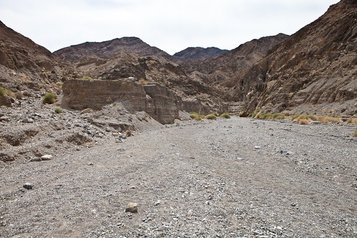
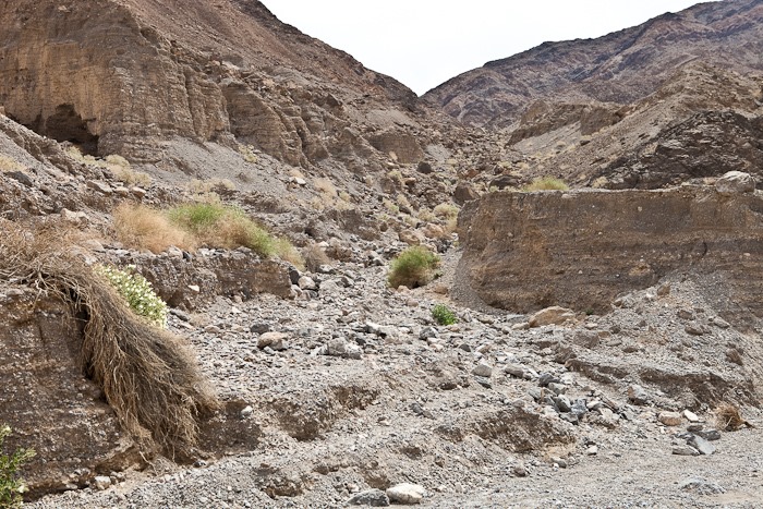
We started to hike in that direction, having to cross a number of dry washes:
We finally reached mineral marker 46:
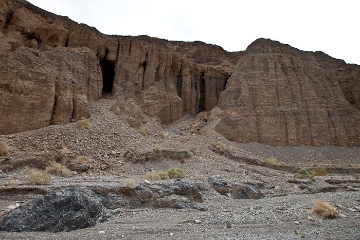
From there, we walked towards some mines indicated on the map. The opening on the North side of the mountain was in a cliff face, so it’s probably the exit hole of a passage on the other side of the mountain. We continued around the mountain is an attempt to find the entry holes.
It looks like there was a good bit of surface mining here:
Is this ore waiting to be hauled out, or piled up tailings?
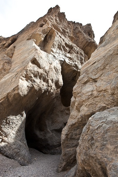
Continuing around the mountain, we found a pair of entry holes that have been sealed with expanding foam to keep out explorers:
Less than 30 miles away, Telescope Peak rises over 11,000 feet over Death Valley:
Fossils keep watch over the valley:
This shrub has been taken over by an orange parasitic plant. Mistletoe, perhaps?
Once back at the truck, we drove back to the campground:
After returning from our hike, I rode from the campground at –100 feet to 2000 feet above sea level about 12 miles away from the valley. Along the way I passed Zabriskie Point:
The end of the ride:
Meanwhile, back at the ranch, Trish, David, Leisl, and the cousins went for a horse ride:
Ah, the fresh air out on the range:
I’m not sure when the busy season is here, but it’s not now:
This morning we drove into Death Valley. Our first stop was Scotty’s Castle. We took a tour with a Park Service interpreter. Much of the tour revolved around Death Valley Scotty, who swindled Albert Johnson but was befriended by Johnson despite his deception. The two of them built this mansion in the desert:
Since we were so close to it, we left the RV at Ubehebe Crater and drove the 27 miles over dirt road to The Racetrack, a formation I had always wanted to visit. On the way we passed Teakettle Junction:
In the distance, The Racetrack, a vast, dry lakebed:
We drove to the South end of The Racetrack. Looking North, we could see the mirage reflection of The Grandstand in the distance:
The South end of The Racetrack is home to the mysterious “Sailing Stones”. The stones leave tracks that indicate they move, and researchers are still trying to understand what allows these rocks to roam the playa:
Behold our dusty trail as we return to the RV:
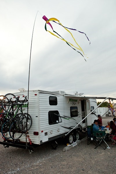
On our way to the campground, we pulled off the road for a sunset photograph:
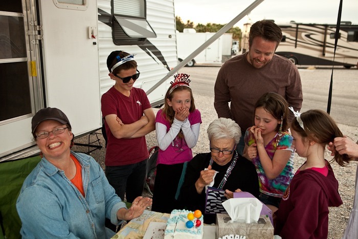
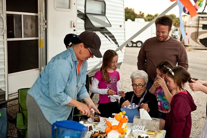
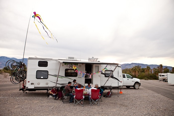
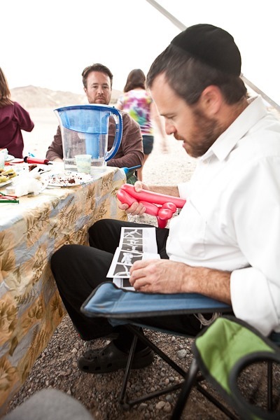
Once we settled into our campsite, we prepared a cake for Bubbe’s birthday:
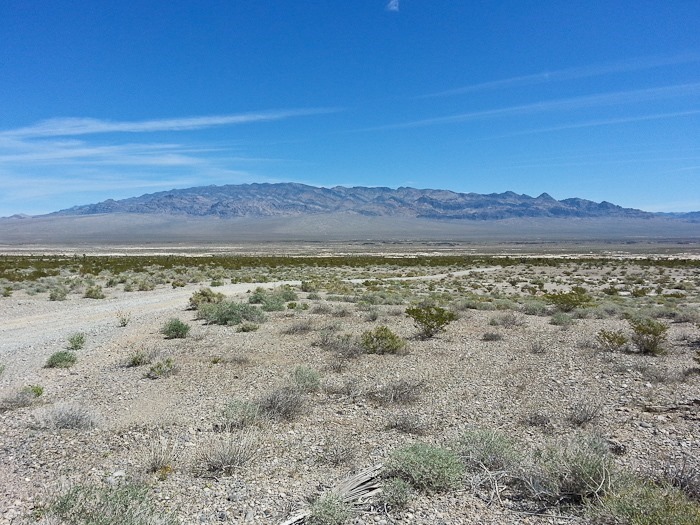
Another beautiful Nevada morning dawned over us between Las Vegas and Death Valley:
B made a nice Mizrach for us. This is especially useful in an RV since it changes every time we move:
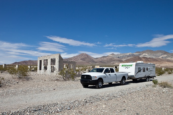
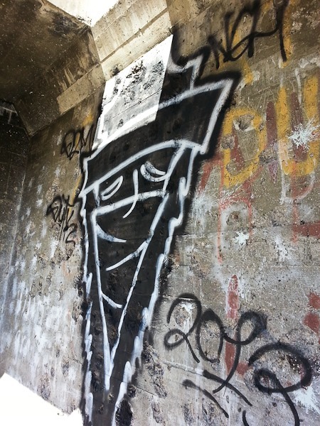
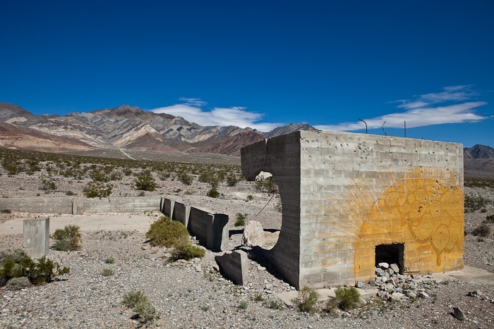
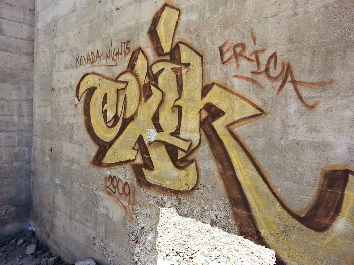
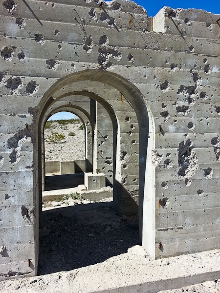
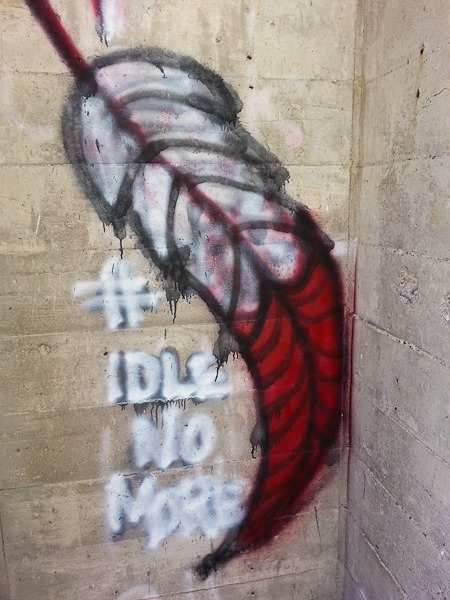
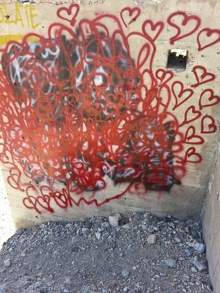
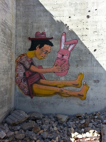
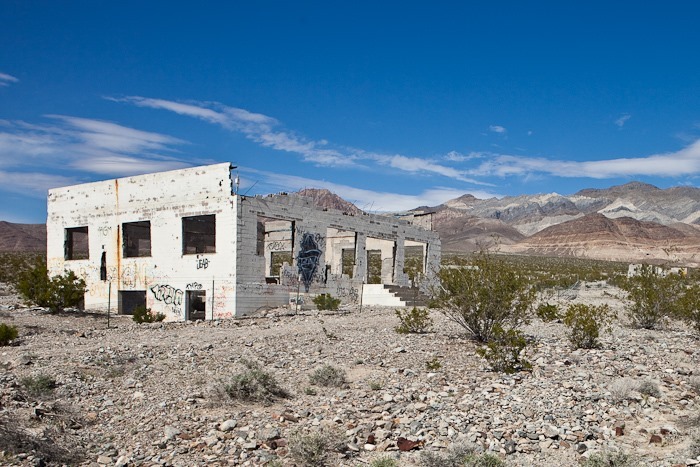
We drove North towards Death Valley, stopping at an abandoned, partially-completed concrete factory a bit North of Highway 95 a few miles outside of Beatty. I get the feeling we’re not the first people to visit here:
For lunch, we parked on BLM land just outside of Beatty and waited for my parents and brother to arrive:
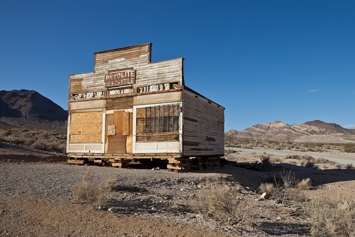
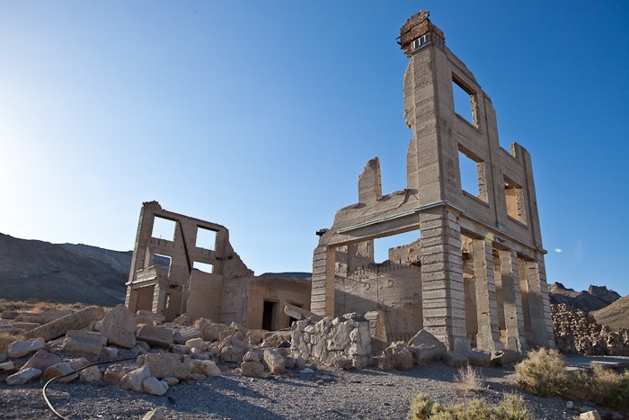
Once everyone arrived in Beatty, we drove up to the ghost town of Rhyolite. Hard to believe it was way back on Day 11 when we last visited here. The Bottle House fence was open, so we could get up close:
The original mobile home:
Walking amongst the ruins, it was hard to imagine the town of 5,000 people that stood here in 1907:
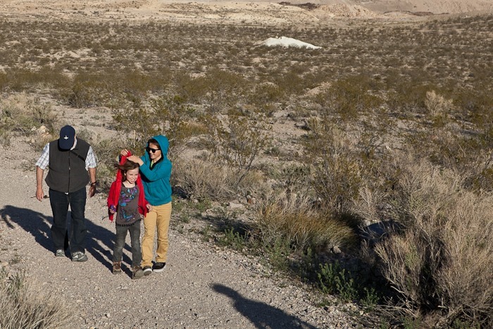
Because one hoodlum isn’t enough:
I loved the backlit plants:
They were shaking in the wind:
Leaving Rhyolite, the rest of the crew returned to their motel in Beatty, and we found a nice spot on BLM land. I set a new record with the WiFi antenna tonight, reaching an access point in Amargosa Valley over 20 miles away! It had a “pay to play” reroute screen, but the fact that I was even able to connect was exciting.
As the sun set, the mountains were transformed into golden cutouts against the horizon:



















 Facebook
 Instagram
 Email
Email