We woke up this morning to a chilly 19 degrees outside. We’re at 2,800 feet along the access road to Desert National Wildlife Range. We left the catalytic heater on low overnight, so it stayed a toasty 40 degrees in the RV:
Continuing west, we filled up at Lathrop Wells, passing Area 51 along the way. Trish and the kids peeked into the alien-themed gas station store:
Driving south from Lathrop Wells, we topped off our propane at a lonely C-store and then turned off onto a gravel road that brought us to the visitor center for Ash Meadows Wildlife Reserve. The reserve contains 26 endemic species, the largest concentration of endemic species in the US. Among them is the Devil’s Hole Pupfish, the world’s rarest fish, with only 50 individuals in existence as of 2013.
The reserve was created after area farming drove two species of Pupfish to extinction due to irrigation pumps lowering the water table:
Unlike Desert NWR’s visitor center, this facility is actually open during its posted hours of operation. The visitor center is brand new:
So new, in fact, that it is about a month away from officially opening. They’re getting there:
Unfortunately, they don’t yet have a Junior Ranger program here.
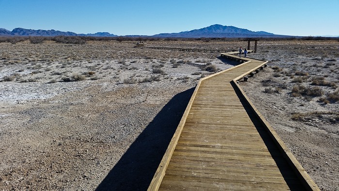
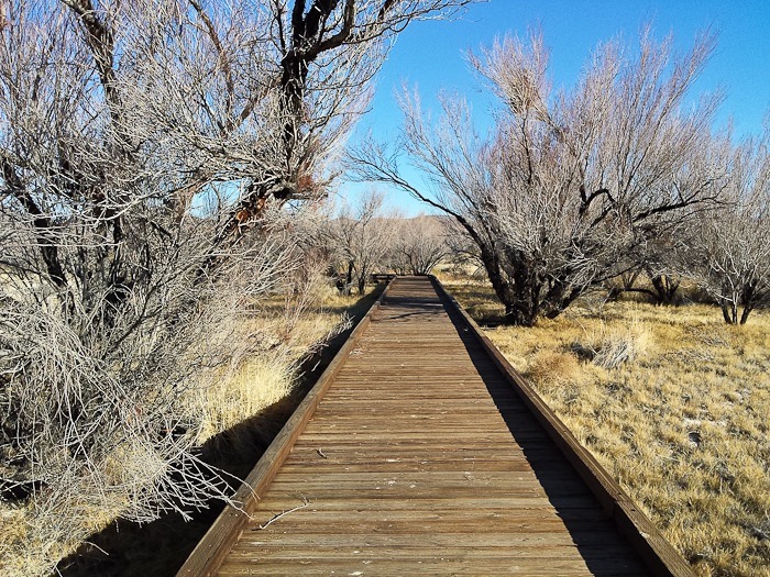
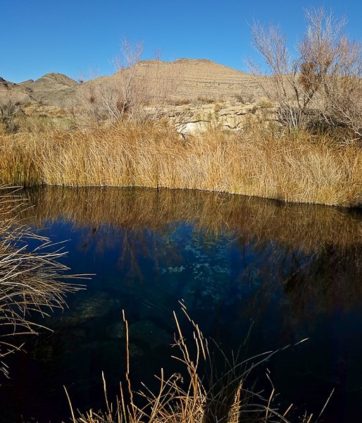
We headed out on the boardwalk that leads to Crystal Spring, which irrigates this area:
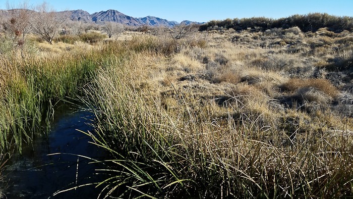
We could see pupfish and dace (a kind of minnow) in the creek coming from the spring:
Screwbean Mesquite seed pod:
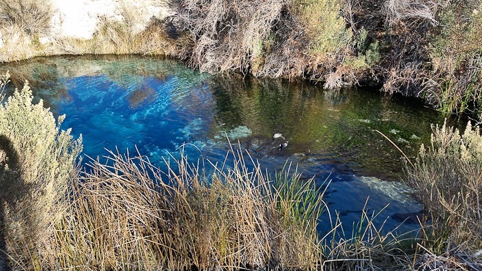
The spring is 15 feet deep and releases over 2,000 gallons of water per minute. The water is blue due to high levels of calcium carbonate in the water. There were two American Coots swimming in the spring:
A bit of wildlife refuge roughhousing:
We also stopped at Point of Rocks and walked the boardwalk to King Spring:
We looked for the Bighorn Sheep that sometimes visit this area, but did not see any:
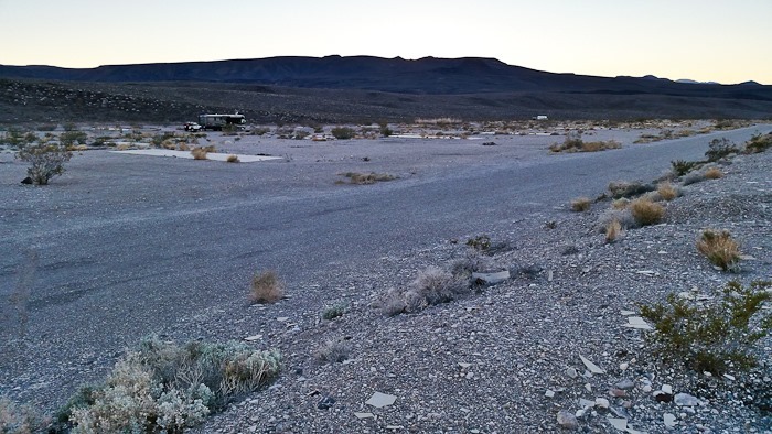
Driving west from Ash Meadows NWR, we passed through Death Valley Junction and continued west towards Death Valley. We stopped about 20 miles out of Death Valley to visit “The Pads”, a popular dispersed camping location at this former mining town site on BLM land. The temporary housing is gone now, but the concrete pads they sat upon remain:
I suspect a water tank or propane tank used to live here:
The Pads are at 3,000 feet, and with overnight lows forecast to be around 20 up here, we drove down to Sunset Campground in Death Valley at 186 feet below sea level. It shouldn’t get below 50 here tonight. See the trip map for driving details and our current location.
We arrived in Rapid City DMV this morning expecting a 6-hour ordeal like we suffered when getting our New York driver’s licenses, but were wonderfully surprised when the entire process took only 15 minutes or so. Did I mention that when you call the DMV on the phone, they actually answer? It’s amazing how responsive government can be in a state with less than 850,000 residents. South Dakota is so sparsely populated that the Rapid City DMV is one of the few DMV locations in the state that’s open more than one day a week.
Heading South with our newfound identities, we stopped at Wind Cave National Park in South Dakota’s Black Hills, one of the longest known cave systems in the world with over 140 miles of explored passageways. Jewel Cave is also the densest cave system in the world, with more passages per volume of ground than anywhere else. On previous trips we had visited Jewel Cave and Mount Rushmore in this area, but had skipped Wind Cave.
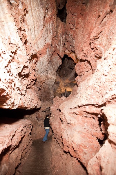
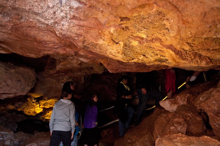
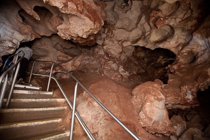
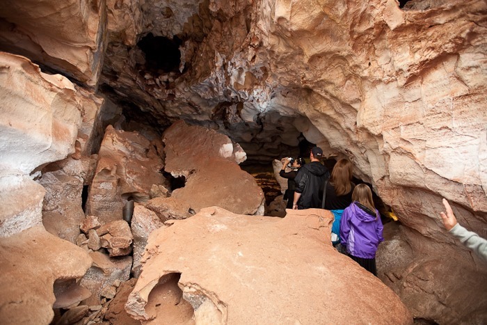
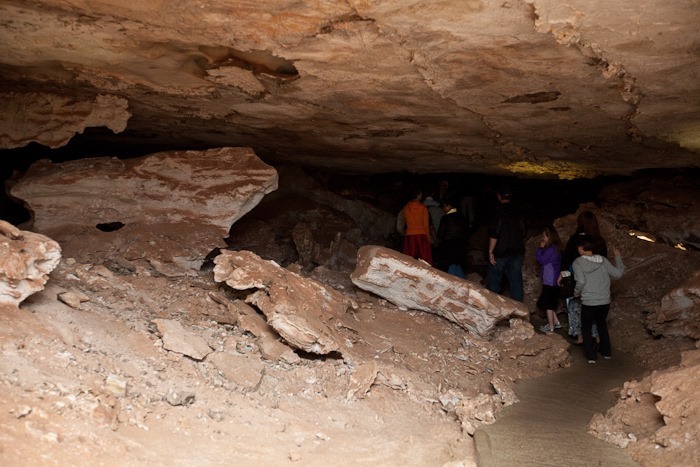
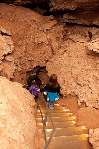
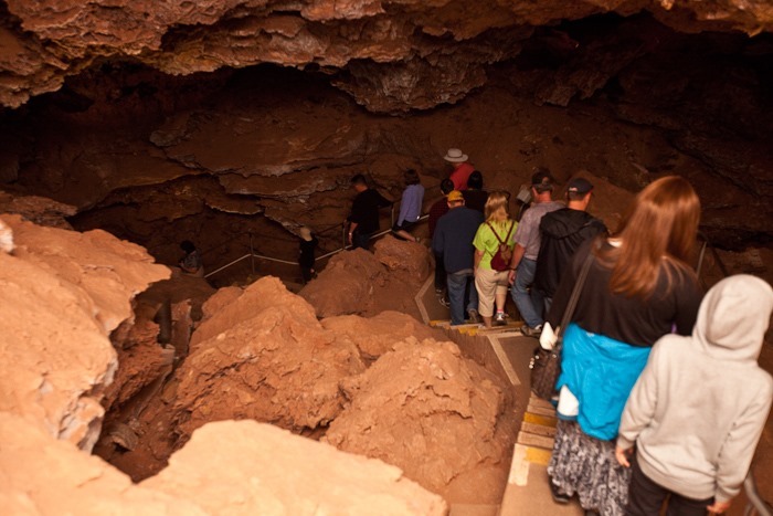
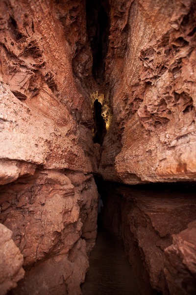
We signed up for a cave tour, which began with a 200+ foot descent via elevator into the depths below. The initial passage is quite narrow:
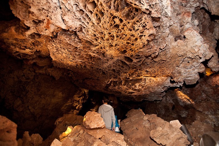
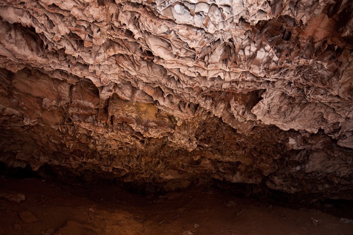
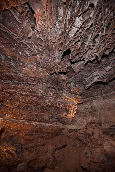
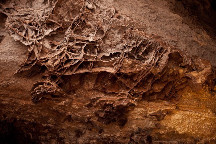
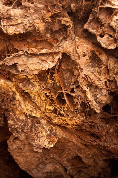
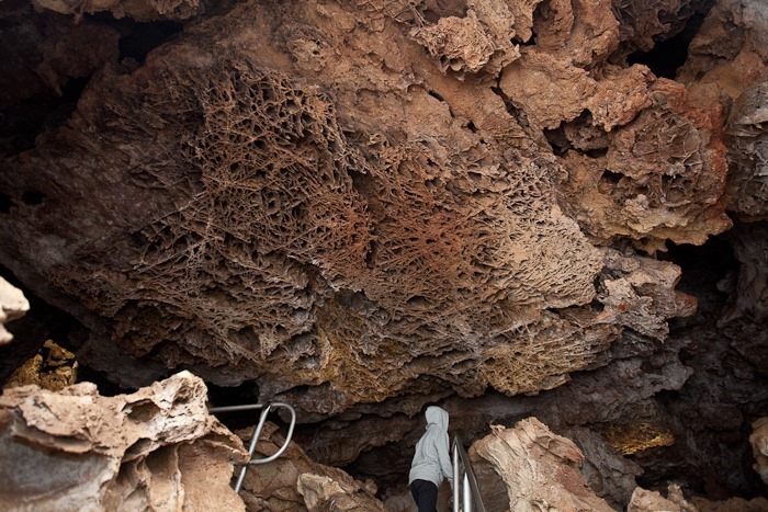
Wind Cave is best known for it’s boxwork. Most of the boxwork in the world is found here in Wind Cave:
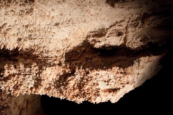
Popcorn formation:
More boxwork:
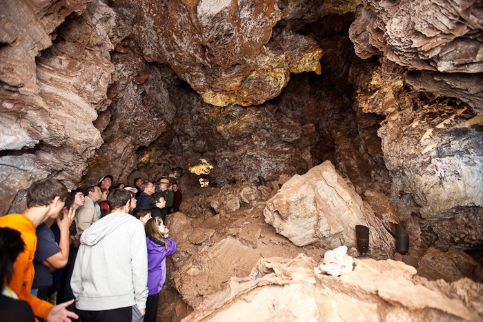
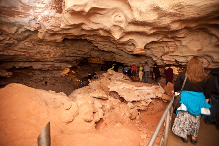
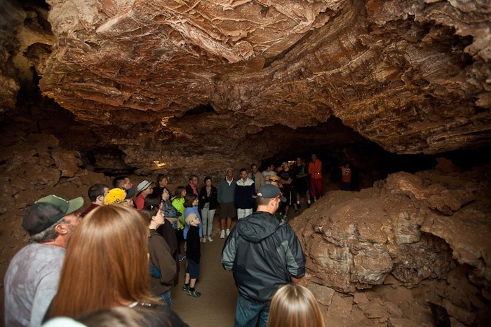
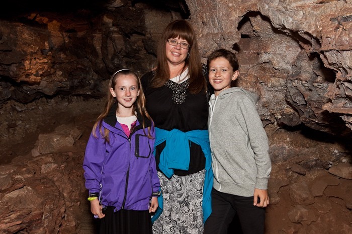
Not a bad looking bunch of cave explorers:
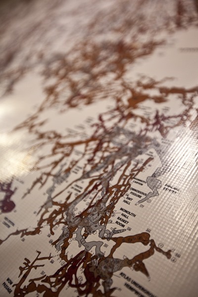
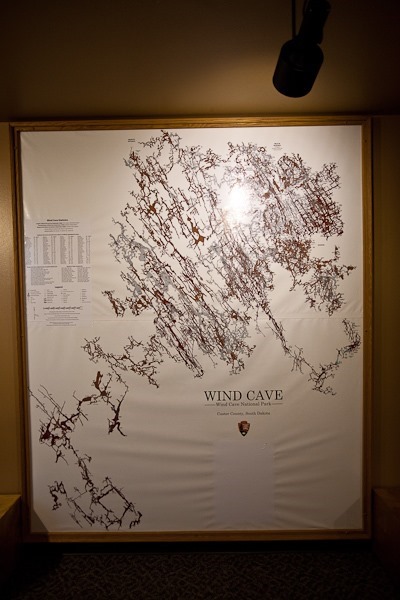
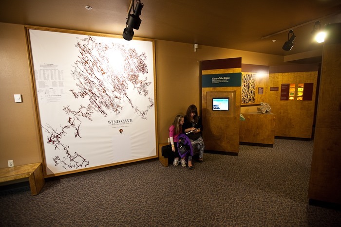
The map shows just how labyrinthine Wind Cave is:
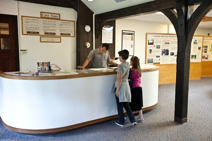
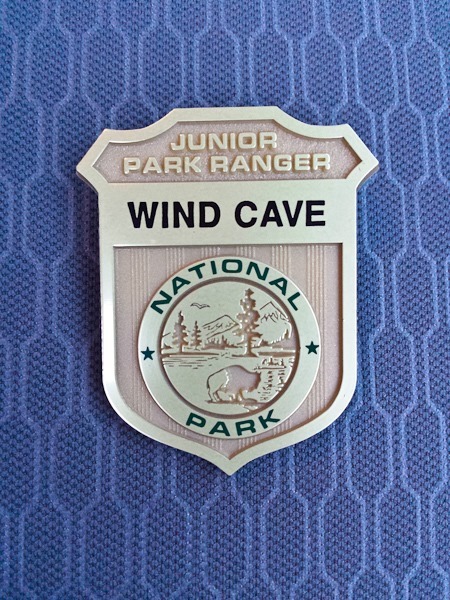
The kids worked on their Junior Ranger workbooks and received their badges:
Continuing South, we crossed into Nebraska and arrived at the Forest Service campground at Toadstool Geologic Park in the Oglala National Grassland. Today hit 90 degrees, hopefully tomorrow won’t be so bad.
Good Shabbos from Toadstool Geologic Park! See the trip map for driving details.
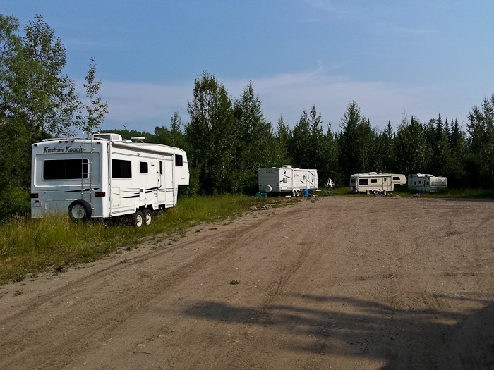
This morning we headed out from our Shabbosdispersed camping location. It’s called Crown Land here in Canada, and it doesn’t seem to have the same 14 day limits that BLM land has in the US. Some folks live here while working in the nearby oil and gas fields, and some live in town and leave their RVs here and come down for the weekends. We spent some time Saturday night chatting with our neighbors John and Carla around their impressive campfire.
Here’s a view of our corner of the camping area as we left:
We drove South to Grande Cache and stopped at the visitor center. Canadians do love their stick-your-heads-though-the-wall things, we see them all the time up here:
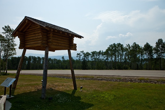
Here is a “Grande Cache”, a large elevated building for keeping a trapper’s furs, food, and equipment high and dry for the winter:
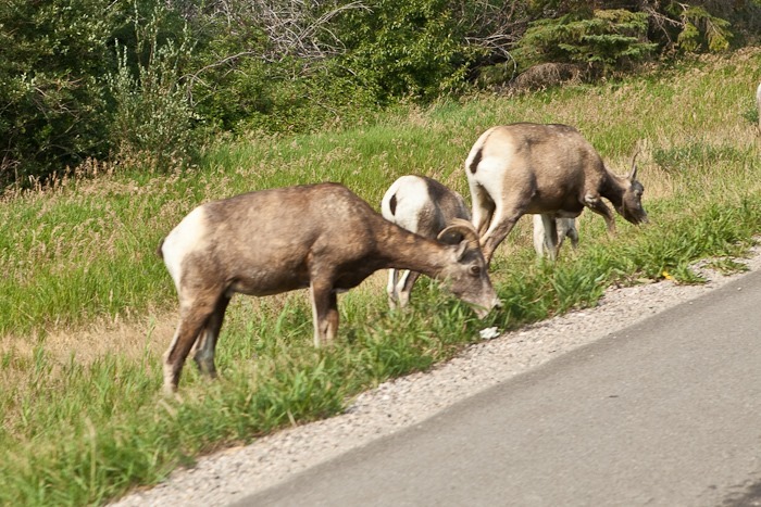
We continued Southwest into Jasper National Park, where we passed some sheep grazing curbside:
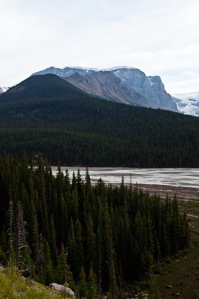
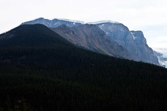
There were plenty of great views to be had as we drove on through the park:
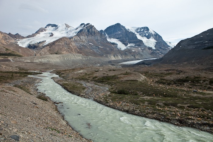
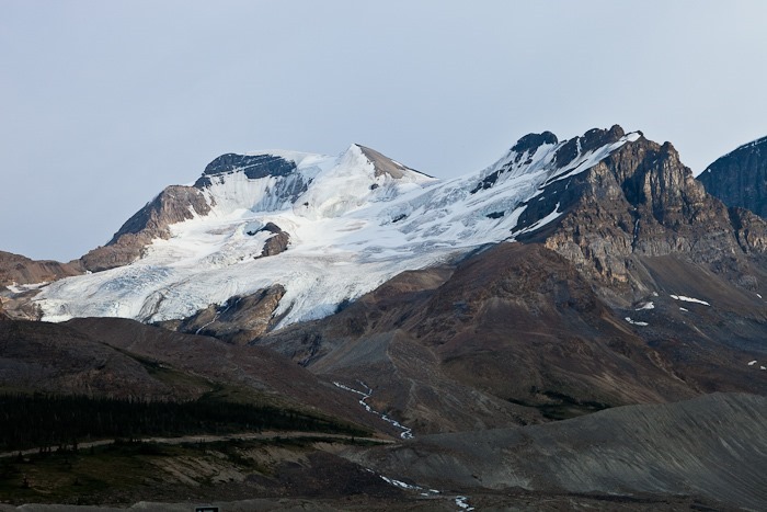
Eventually we reached the Columbia Icefield, which is like a giant bowl, spilling ice over its edge to form glaciers as they move downhill into low valleys:
Here the ice pushed out breaks off and falls to the valley floor below. This rim of ice must be at least 100 feet thick:
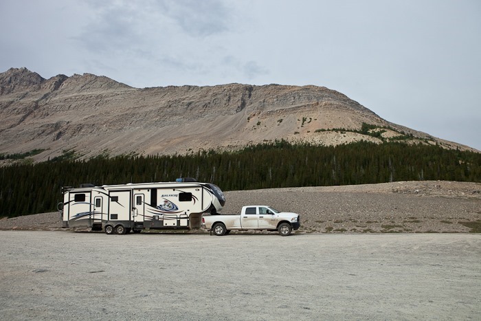
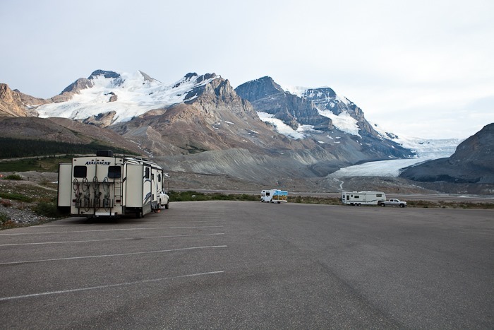
We are overnighting at the Columbia Icefield parking lot, across from the Athabasca Glacier. It’s $15.70 to park here for the night, but at least we get some great views:
We were startled out of bed this morning at 3:45AM by Fred Meyer staff. They needed us to move our truck so that they could bring a semi into the parking lot. Thankfully, we had unhitched from the RV, and they didn’t ask me to move the RV.
After getting up the second time at a more reasonable hour, we drove South to Homer, at the Southern terminus of the Sterling Highway. This is literally the end of the road. We found a spot at the city campground which is located at the beginning of the Homer Spit. $15 a night gets you parking lot-style camping with no hookups:
Our neighbor is using his boat as an RV:
Down of the beach, we could see a couple guys setting up to do some kitesurfing in the distance:
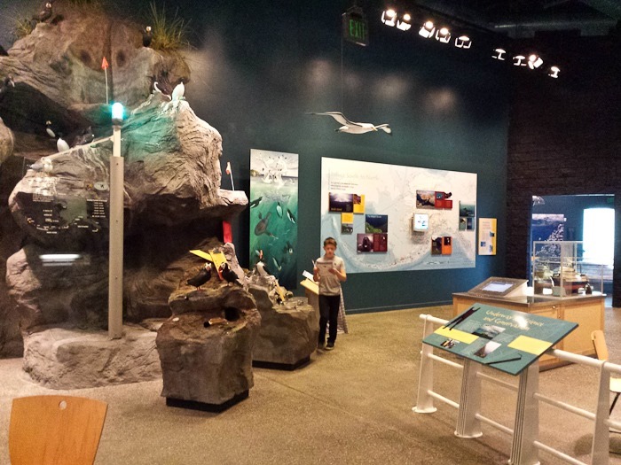
We dropped off Trish at the Laundromat and I took the kids to the Alaska Islands and Ocean Visitor Center, operated by staff from the Alaska Maritime National Wildlife Refuge:
The visitor center was very well done, and the Junior Ranger workbook was quite challenging as well:
The kids received their badges. Because it’s a wildlife refuge, the patch is for “Junior Biologist”, not Junior Ranger:
Homer humor:
In Homer you can stand on the beach and see glaciers across the bay:
I went for a bike ride out to the end of the spit, where the harbor is:
I then rode up to Skyline Road where I could look down on the spit and the mountains across the bay:
Homer is a wonderful little town, in the summer anyway. Good Shabbos from Homer, Alaska! See the trip map for today’s drive and our current location.
As planned, we left the RV at Marion Campground in Coldfoot at 7:30AM and drove North towards Deadhorse. The Brooks Range rises up between us and the Arctic Ocean:
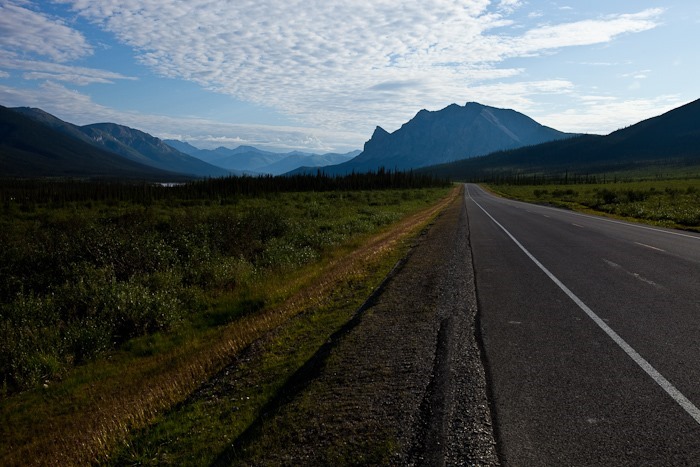
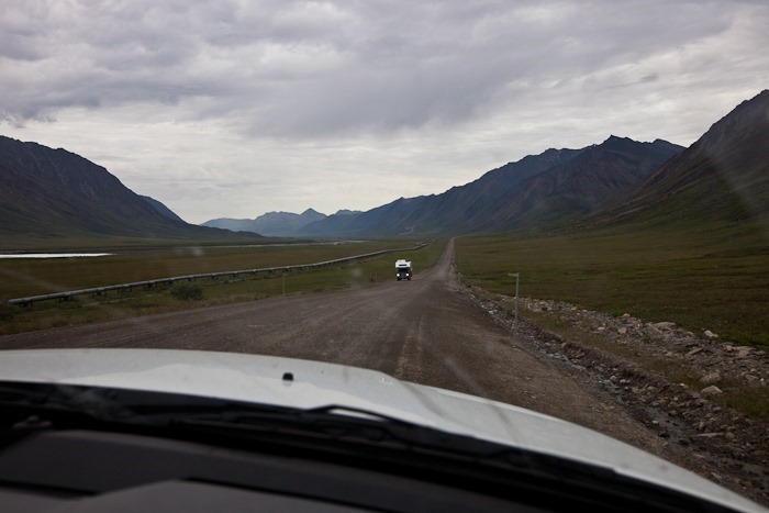
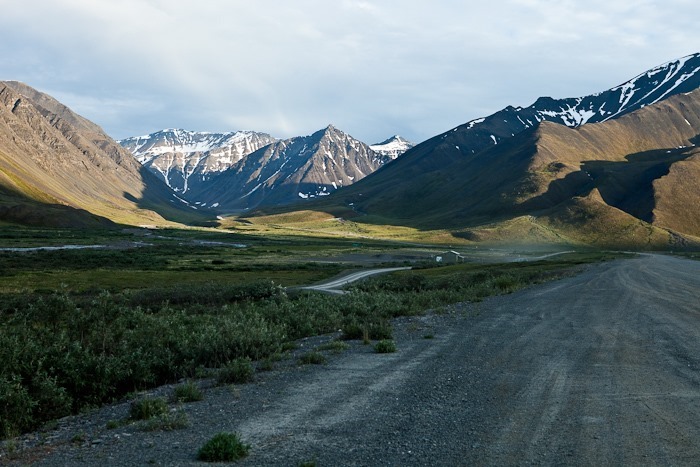
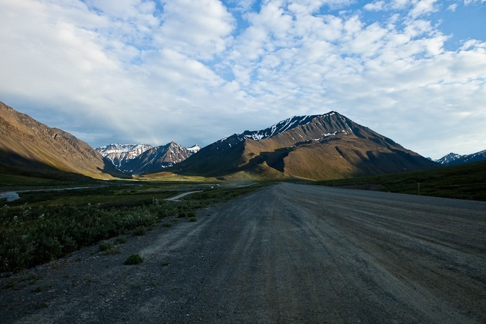
The road quickly turned to gravel, as it would be for nearly the entire drive. It’s a lonely road:
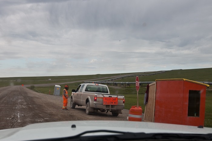
We had to wait for road construction at the turnoff for Galbraith Lake. Notice the mosquito netting on the flagger’s head. Like in Coldfoot, the mosquitos here in the boggy tundra are insanely plentiful. The flagger easily had 100 mosquitos crawling all over his head net.
Looking back after crossing the Brooks Range:
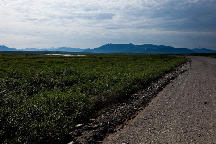
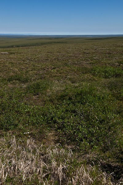
The last 100 miles to the Arctic Ocean are soggy tundra with no plants taller than a foot or so:
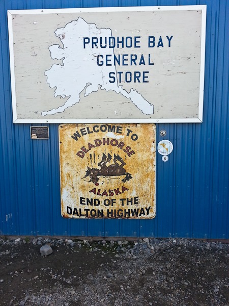
At last we reached Deadhorse after six hours of driving. It’s a town like no other, with a handful of permanent residents and thousands of oil workers working a two weeks on, two weeks off schedule:
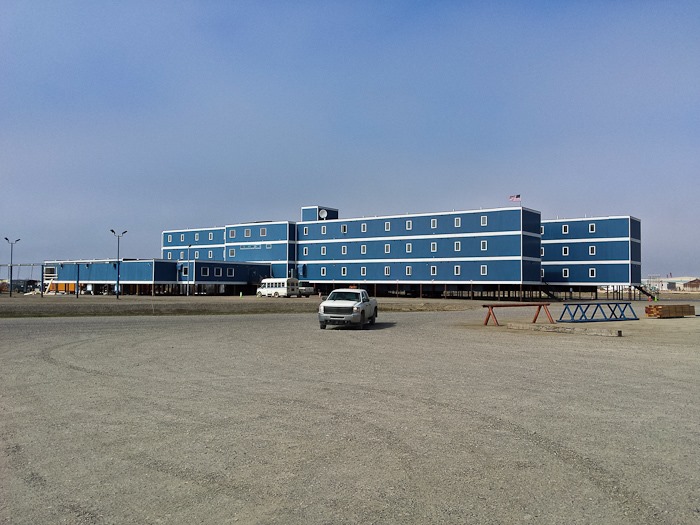
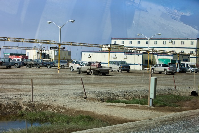
There are no parks and no schools. The “roads” are all gravel, and buildings, cobbled together from shipping container-sized sections brought in on trucks, are built on stilts to avoid melting the permafrost which would cause the buildings to collapse:
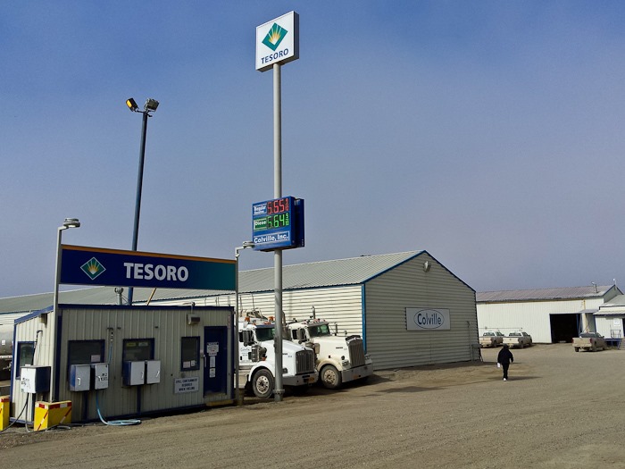
There’s no refining at Deadhorse. The oil flows 800 miles to Valdez, where it’s refined and brought back using tanker trucks. That explains the price; diesel was $4.15 in Fairbanks, $5.10 in Coldfoot, and $5.65 in Deadhorse:
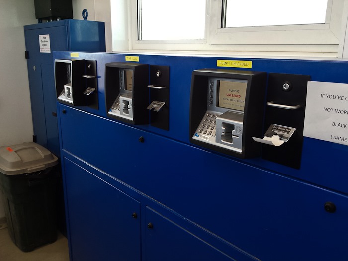
Perhaps because of the cold, the payment half of the pump is inside a building, and each pump is behind a roll-up steel door:
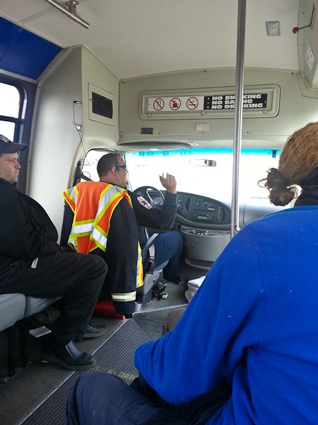
We boarded the tour shuttle bus that would take us North from Deadhorse into the restricted security zone on Prudhoe Bay and on to the shores of the Arctic Ocean. We had to sign up 24 hours in advance to allow time for background checks, and had to present ID to board the bus:
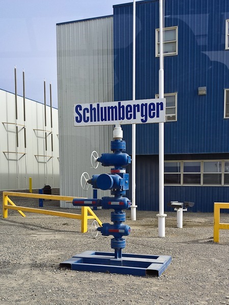
Schlumberger, manufacturer of fine oil well head pressure valves:
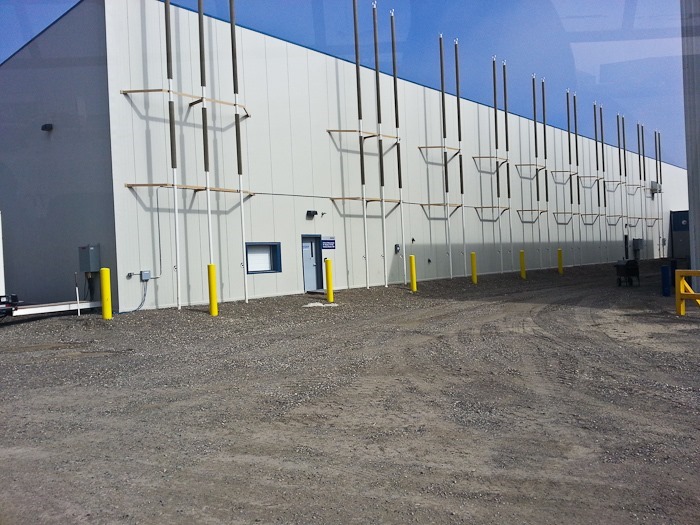
Like the Alyeska Pipeline, this building has foundation cooling towers to keep the permafrost from melting:
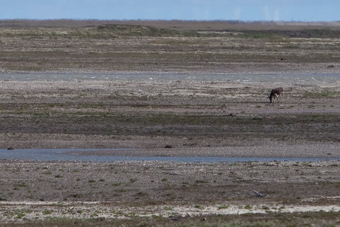
Out on the tundra, we spotted a lone caribou:
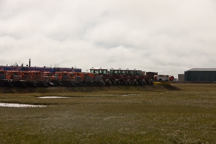
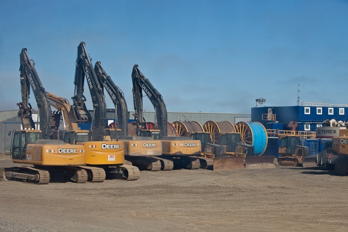
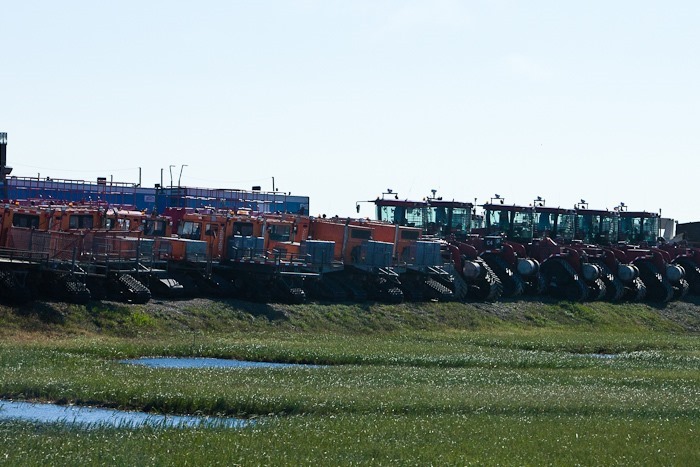
Still in town, we passed stockpiles of vehicles and machinery to support the oil fields. 4% of US oil is produced here at the largest oil field in North America:
The yellow “rail” supports extension cords that hang down. Drivers plug in their cars to keep the oil pan and battery warm so that the vehicles can be started during the winter when temperatures can plunge below –60 degrees. The coldest wind chill recorded in Deadhorse was –102 degrees:
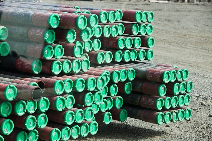
Oil drilling pipe sections:
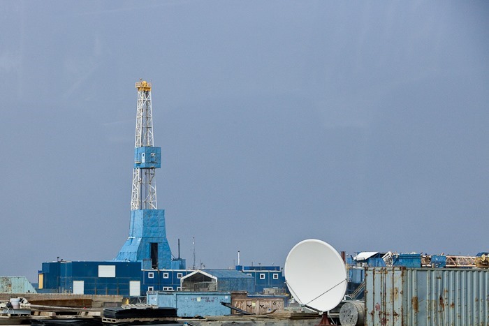
A movable oil derrick:
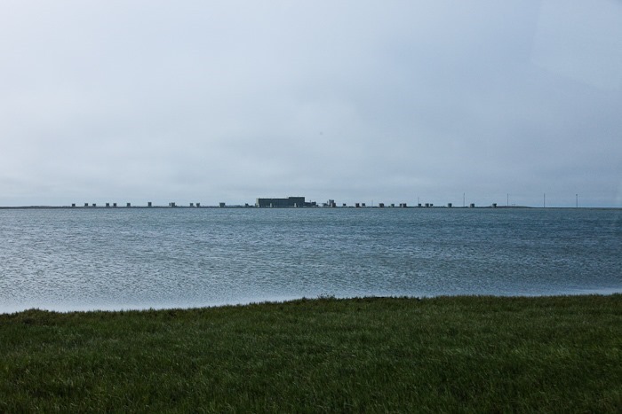
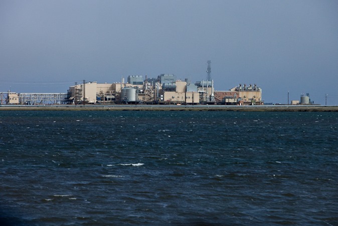
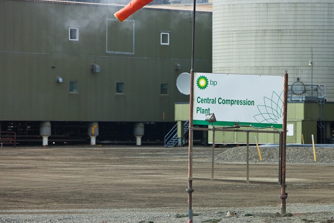
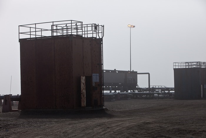
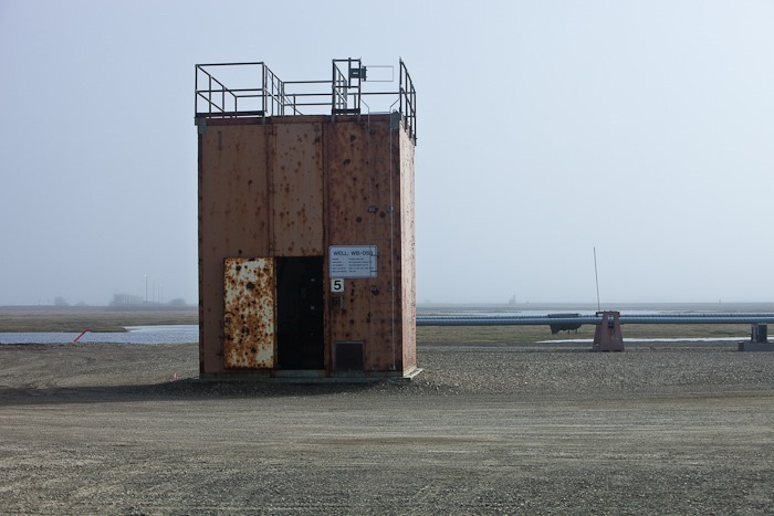
In the distance, well heads live in the square boxes. The water, oil and natural gas slurry drawn from 9,000 feet below the surface is routed to the large building:
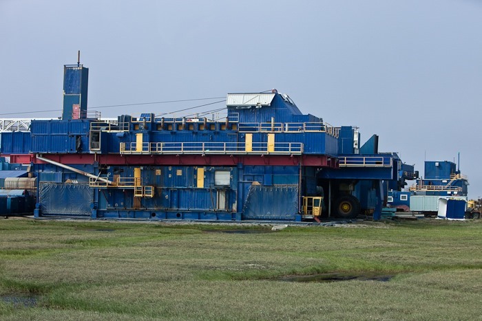
The oil derrick is a giant vehicle with 12 foot-high wheels, covered by the tarps at the lower corners of the derrick. The pilothouse and front swivel wheels can be seen on the right:
There are dozens of plants scattered over the tundra:
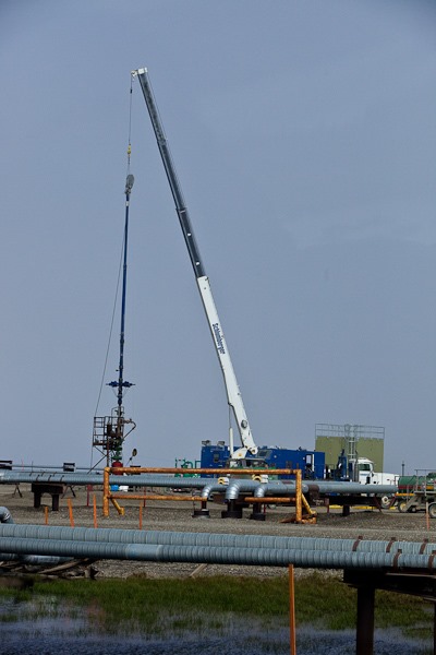
Here a well head is being serviced:
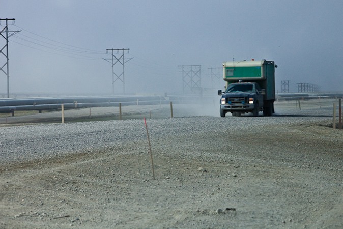
The whole area is bleak and the air is filled with dust from the roads:
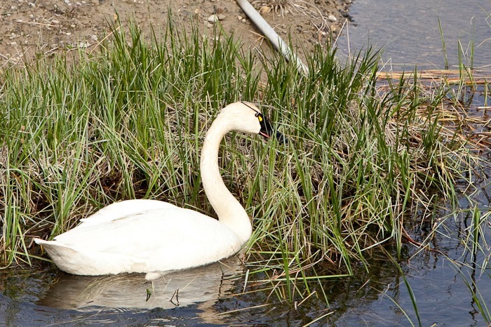
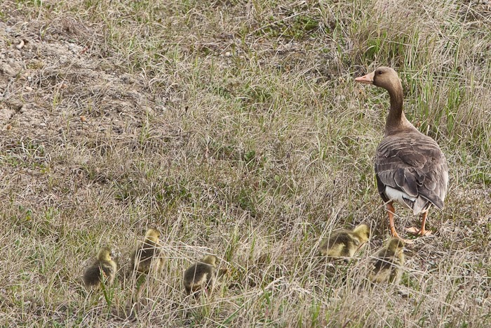
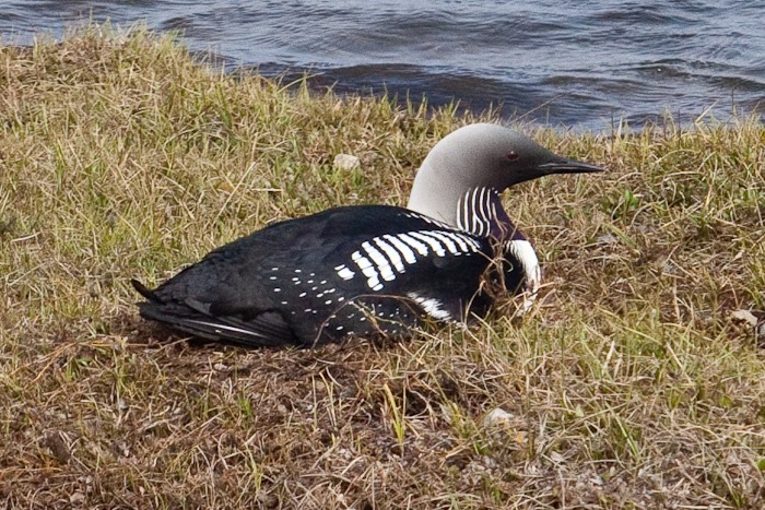
We saw quite a bit of wildlife:
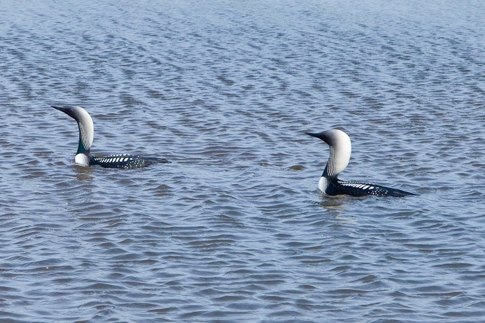
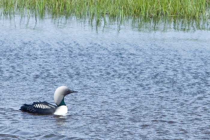
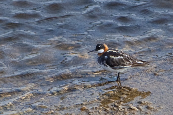
The loons were out swimming:
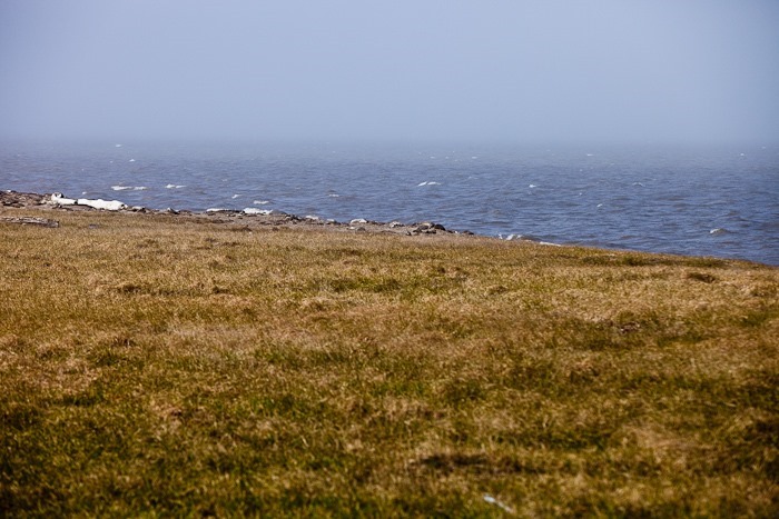
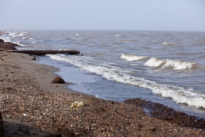
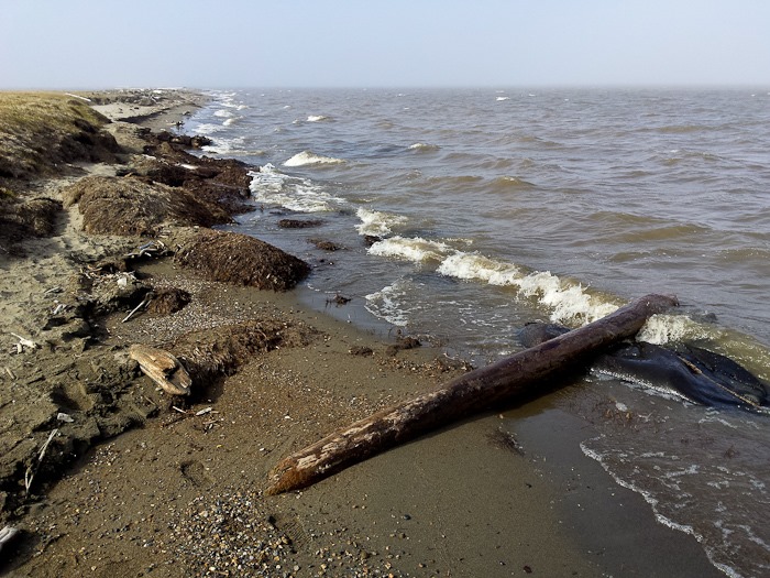
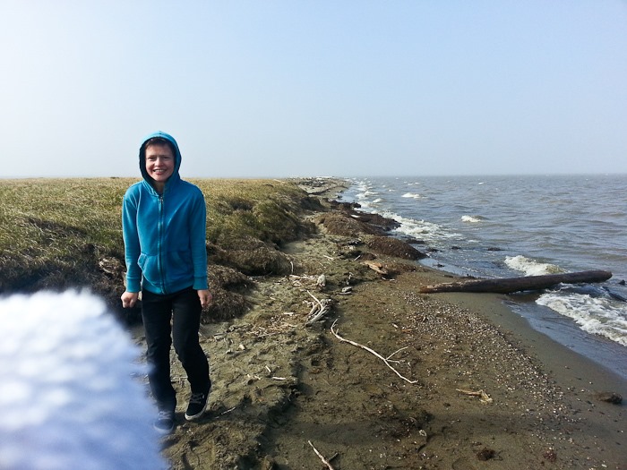
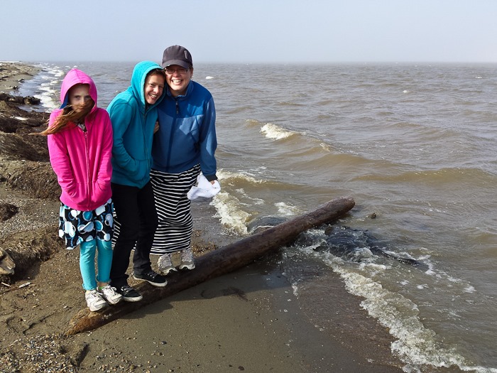
At last we reached the coast of the Artic Ocean. The ice had only broken up a few weeks ago, so the water was still 32 degrees, and the wind blowing in off the ocean was about that cold too. As a result it was pretty foggy:
I can’t count how many times I’ve looked at the map and wondered what it would be like standing at 70 degrees latitude, looking North where only 1,200 miles distant lays the North Pole. I’m very excited to be here!
Yes, it’s really cold:
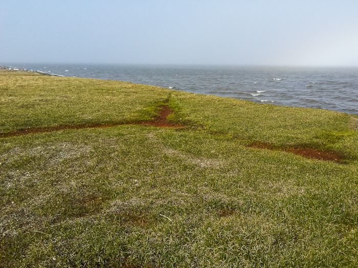
The freeze thaw cycle of the surface soil causes polygonal mounts to form in a pattern similar to the shell of a turtle:
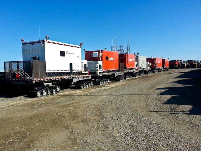
Office space on tank tracks:
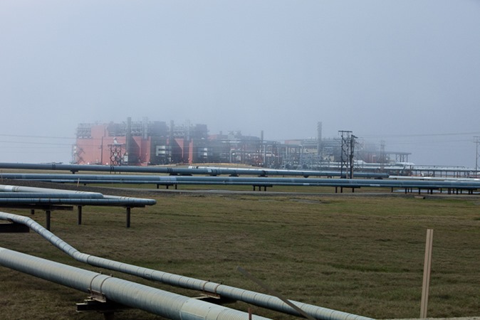
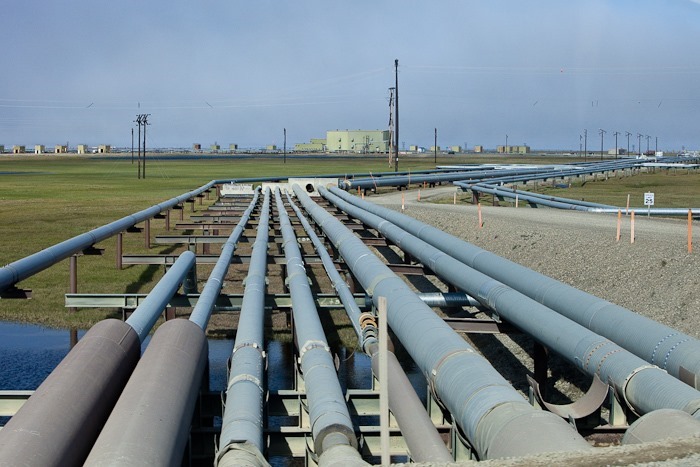
So many pipes, about 2,000 miles worth in Deadhorse alone:
The investment in equipment and vehicles is staggering:
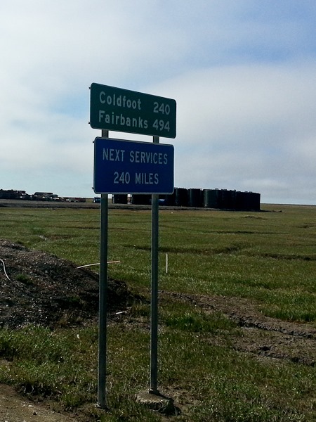
After our tour wrapped up, we started back South towards Coldfoot a little bit after 6pm. Glad we filled up here:
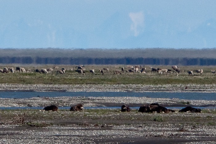
Across the tundra, a herd of caribou are the backdrop for a herd of musk oxen:
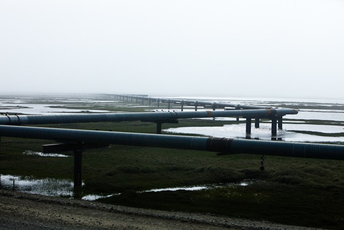
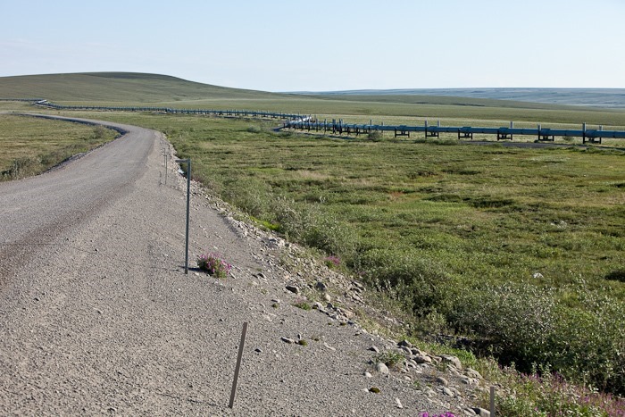
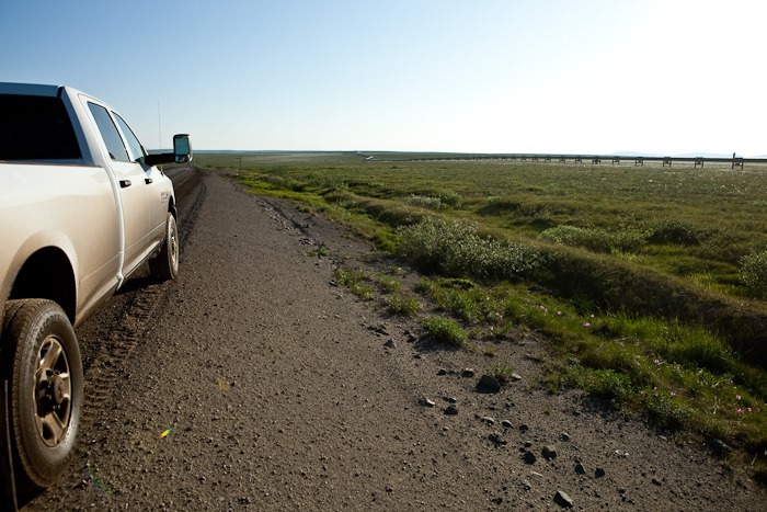
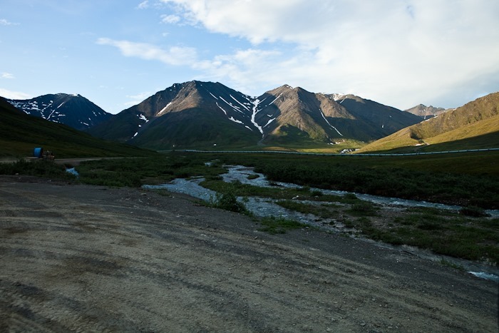
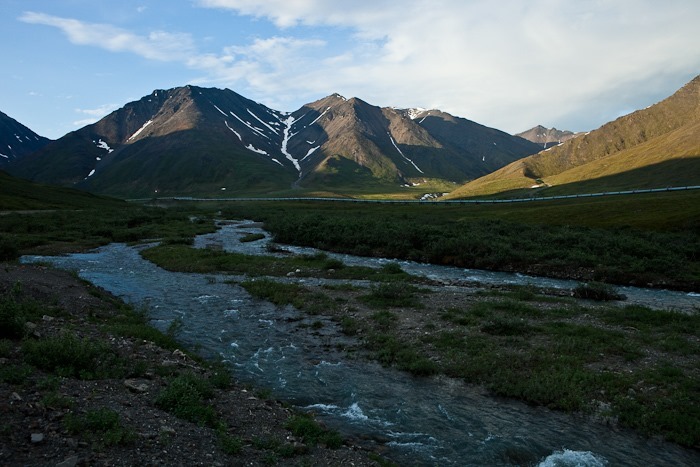
The pipeline keeps us company on our return drive:
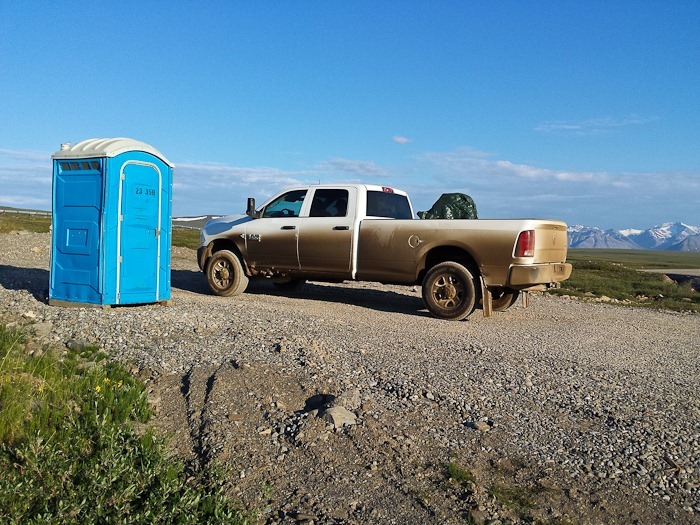
So much for our clean truck. This is the only restroom between Deadhorse and Coldfoot:
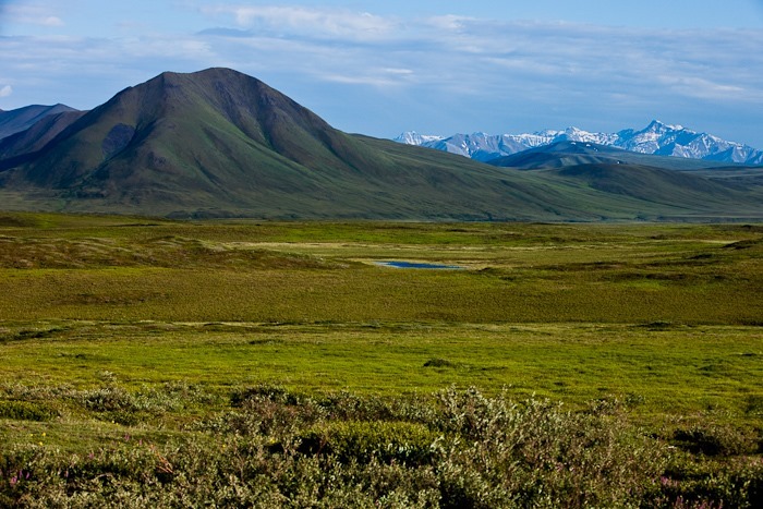
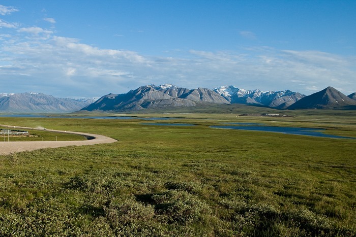
The tundra provides a lush foreground for the Brooks Range:
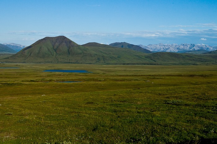
Ground water can’t soak down more than a foot or so due to the permafrost below, so the tundra is spongy and wet, despite the fact that the North Slope is technically a desert, receiving less than 5 inches of precipitation a year:
We approached the Brooks Range:
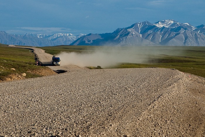
Fast-moving trucks like these threw rocks into our windshield, causing two chips in the glass that will need fixing:
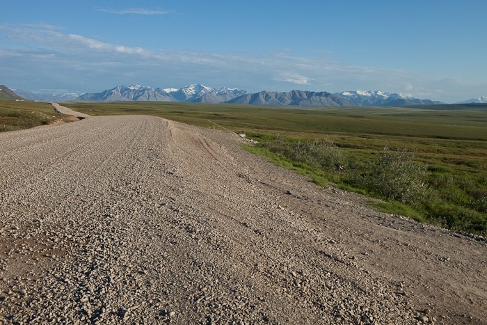
Leading up to the pass over the Brooks Range:
Looking back towards the pass after crossing it:
We arrived back at the RV shortly before midnight. We are above the arctic circle, so the sun is still up and probably won’t go down for another couple of weeks.
We did it! We visited the top of North America, at a latitude well North of Iceland and at about the midpoint of Greenland. See the trip map for driving details and our current location.


















 Facebook
 Instagram
 Email
Email