Day 86: Motorcycle Madness

We left Tracy and headed a few miles west to Carnegie State Vehicle Recreation Area.  An SVRA is an area of public land set aside for OHVs (off-highway vehicles) like motorcycles, dune buggies, etc.  We decided to stay here for Shabbos as it was close to where we were and it’s only $10 a night.  On the way there, we passed Lawrence Livermore National Laboratory’s Site 300 and stopped to ask the gate guard for directions to the SVRA.  It was pretty clear from our brief glance that this site does not have a Junior Ranger program.

When we arrived, the ranger told us that there were only a few sites left, as adjacent to the campground there was a motorcycle competition slated for the weekend.  In that area, there were easily 50 RVs parked, and every RV had at least one or two motorcycles next to it.  The SVRA had a variety of off-road tracks as well as an extensive trail network, and folks staying both in the campground and in the adjacent competition area were driving their off-road motorcycles on the tracks.

In the afternoon, I went for a ride from the SVRA over the mountains into Livermore, CA.  I rode into town before turning around, and I saw the guard station at the main campus for Lawrence Livermore National Lab as well as signs for Sandia Labs.

On the way back I passed vineyards on the outskirts of Livermore:
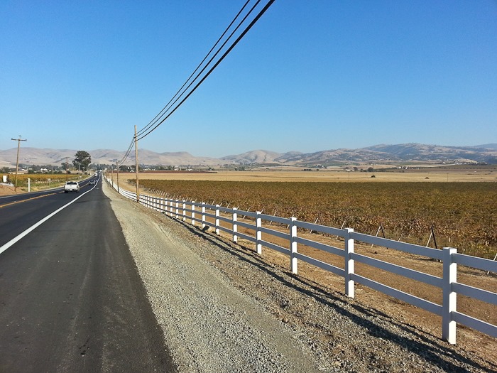
Day086_01

On my way up the hill, I passed an oncoming Tesla Roadster, which was ironic because I was riding on Tesla Road, both of which were named in honor of Nikola Tesla.

Here’s the crest of the range than stands between Livermore and the SVRA:

Day086_02


This promises to be a somewhat noisy but interesting Shabbos!

  See the trip map for today’s drive and our current location.
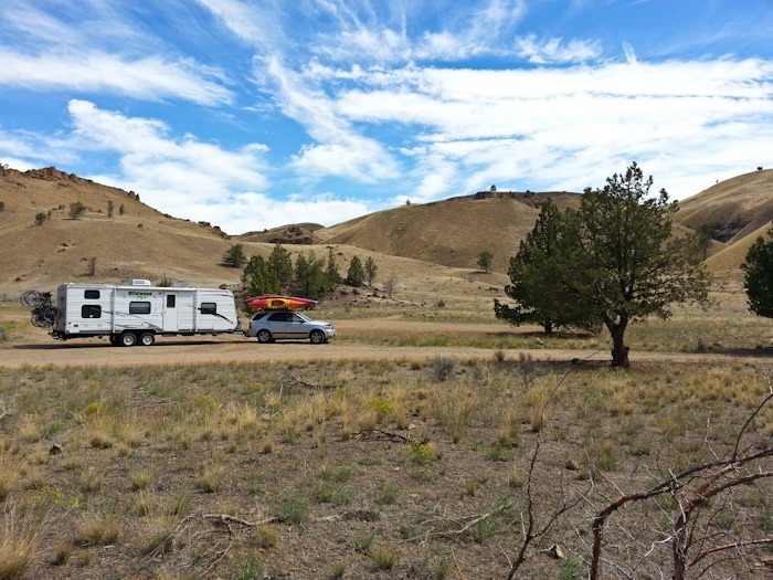
Day 26: Hancock Field Station, Clarno, OR to Wyeth Campground, OR

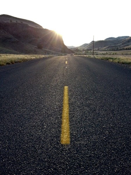
I went for an early morning ride today:

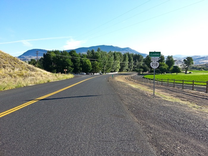
As we say in the Hancock song, “218, take me home…”

Day_026_01

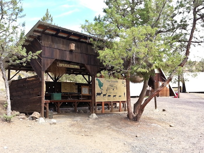
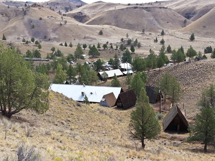
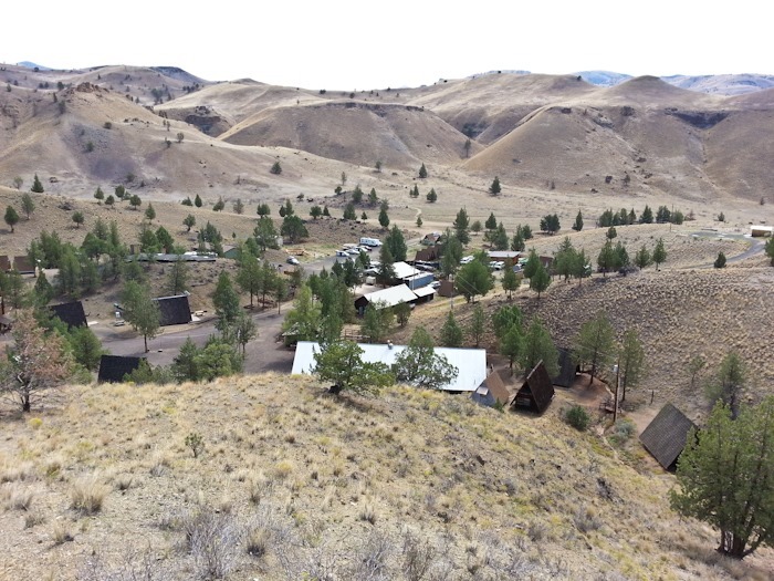
The bustling metropolis that is Clarno, Oregon:

Day_026_02

We opted for the Aboriginal Skills class in the morning time slot.  I’m pretty sure our daughter is the only girl in her school that has used an atlatl:

Day_026_04

Day_026_03

Day_026_05

Some farewell photos:

Day_026_06

Day_026_07

Day_026_08

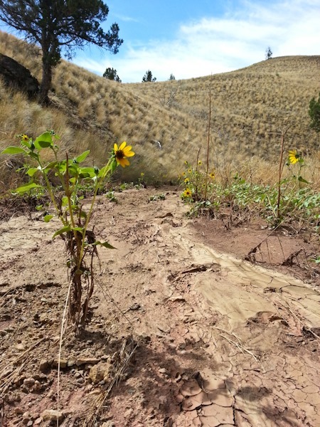
Flowers blooming thanks to a recent flash flood:

Day_026_09

Day_026_10

I was sad to leave, but also glad to leave behind the sense that it was a long, long time ago when I was in my 20s.

Day_026_11

We decided to take the slightly longer but much flatter Columbia Gorge route to Portland.  We dumped tanks and refilled water at an RV park along the way for only three dollars!

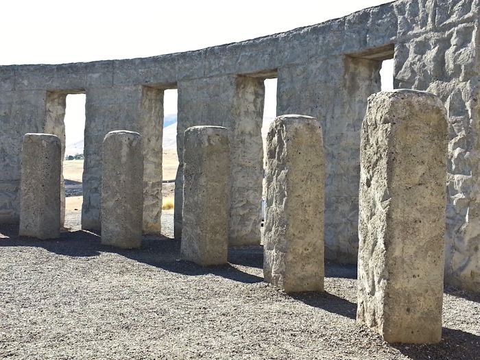
In the gorge, we visited the Maryhill Stonehenge:

Day_026_12

Day_026_13

After a brief visit to the grounds of the Maryhill Museum and a grocery stop in The Dalles, we stopped for the night at the Forest Service’s Wyeth Campground.  At only $10 a night, it was the cheapest option around.

We drove 135 miles today.   See the trip map for today’s drive and our current location.
Day 20: Young Lakes backpack, Day 3

Another beautiful morning:

Day_020_01

Day_020_02

We broke camp and prepared to return to the RV:

Day_020_03

Day_020_04

So long, Young Lakes:

Day_020_05

Day_020_06

Now that’s a hike with a view:

Day_020_07

Day_020_08

Day_020_09

We went up via the Glen Aulin trail, and came down via the Dog Lake trail.  We stopped at Dog Lake for lunch.  Again, the Rim Fire smoke suddenly moved in and dramatically reduced visibility:

Day_020_10

From Dog Lake, it was a couple miles of hiking back to the RV.  We had a great time on our backpack, but it was really nice to take a hot shower when we got back.

Our first family backpack was a tremendous success!  We can’t wait to do another one soon!

Day 19: Young Lakes backpack, Day 2

Monday dawned cold and crisp.  Although it would be quite warm by mid-day, at 10,000 feet the thin atmosphere surrenders much of its heat overnight.

Day_Actual_018_01

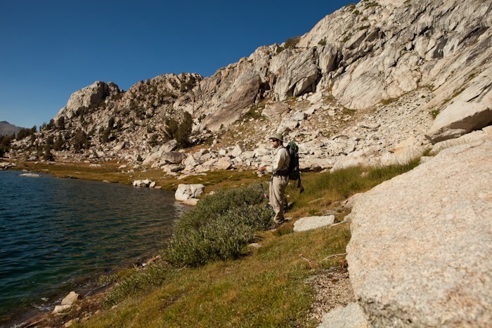
M tried unsuccessfully to catch our breakfast:

Day_Actual_018_02

Day_Actual_018_03

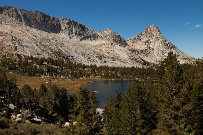
We set out fairly early and hiked East from our tent at Lower Young Lake to Middle Young Lake:

Day_Actual_018_04

Day_Actual_018_05

We then hiked up a steep draw and looked back at Middle Young Lake:

Day_Actual_018_06

We then made our way higher up to Upper Young Lake:

Day_Actual_018_07

Day_Actual_018_08

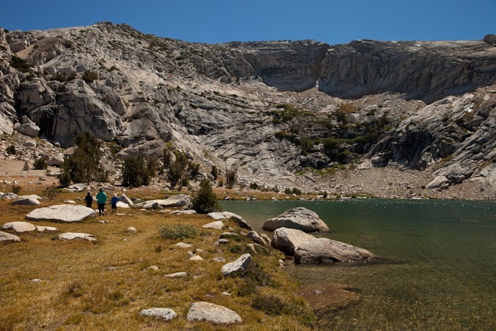
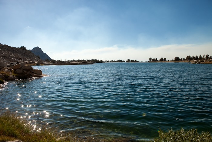
Upper Young lake is at 10,400 feet, and is above treeline.  Its surrounding ridge is stark and steep:

Day_Actual_018_09

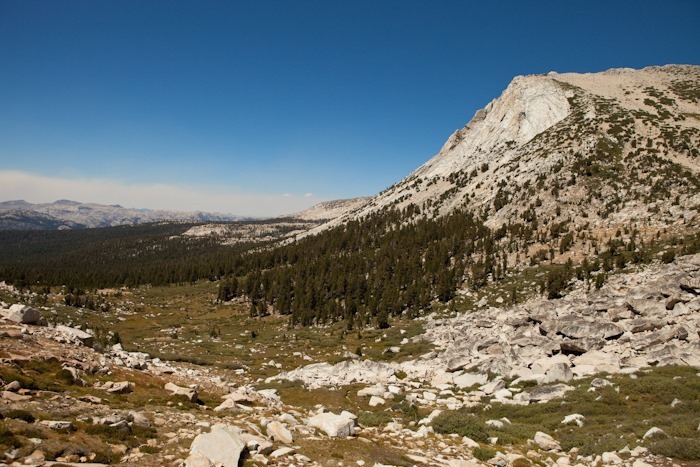
From Upper Young Lake, we worked our way Northeast into an alpine valley:

Day_Actual_018_10

Day_Actual_018_11

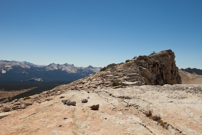
At 10,200 feet, we hiked South out of the valley towards the ridge. Trish and the kids stopped when the climb became steep enough to demand using handholds, at about 10,800 feet.  I summited the ridge at about 11,100 feet.  Here’s the view from the ridge to the South.  I believe that’s Lembert Dome at the right side of the frame:

Day_Actual_018_12

Looking along the ridge:

Day_Actual_018_13

The views back towards the valley from which we climbed were spectacular:

Day_Actual_018_14

Day_Actual_018_15

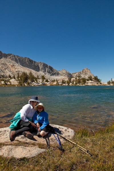
Family photo on the way down:

Day_Actual_018_16

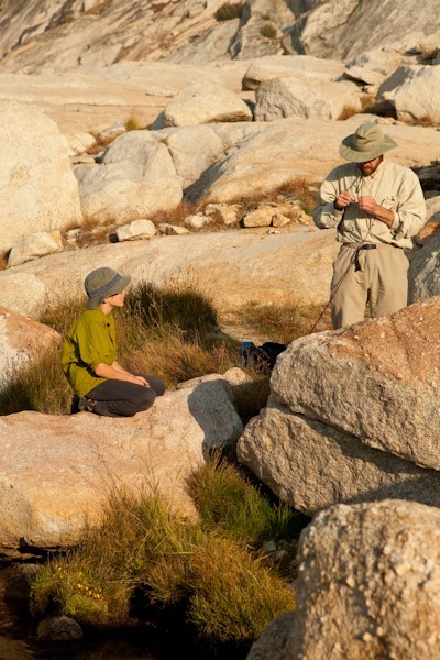
We stopped in the valley to fill our water bottles in the alpine stream.  We used a filtration pump to get rid of any nasties in the water:Day_Actual_018_17

Day_Actual_018_18

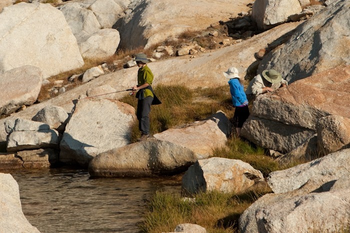
We did a bit of fishing at Upper Young Lake on the way back to camp:

Day_Actual_018_19

Day_Actual_018_20

Day_Actual_018_21

Once the fish started biting, it was a frenzy.  Our son pulled in a fish on every 6th cast or so.  We caught and kept four fish, which made a wonderful addition to our dinner:

Day_Actual_018_22

Day_Actual_018_23

Day_Actual_018_24

Day_Actual_018_25

Day_Actual_018_26

As we descended towards Middle Young Lake, the smoke from the Rim Fire settled in:

Day_Actual_018_27

Middle Young Lake reflection with fire haze:

Day_Actual_018_28

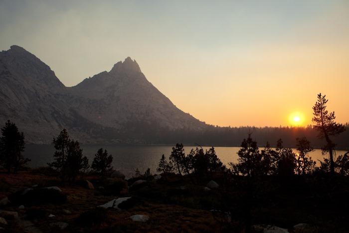
The smoke did make sunset quite spectacular:

Day_Actual_018_29

Day_Actual_018_30

Our son took it all in stride:

Day_Actual_018_31

Day_Actual_018_32

Day_Actual_018_33

Hike stats, at least until our device ran out of batteries, are here:

Day 18: Young Lakes backpack, Day 1

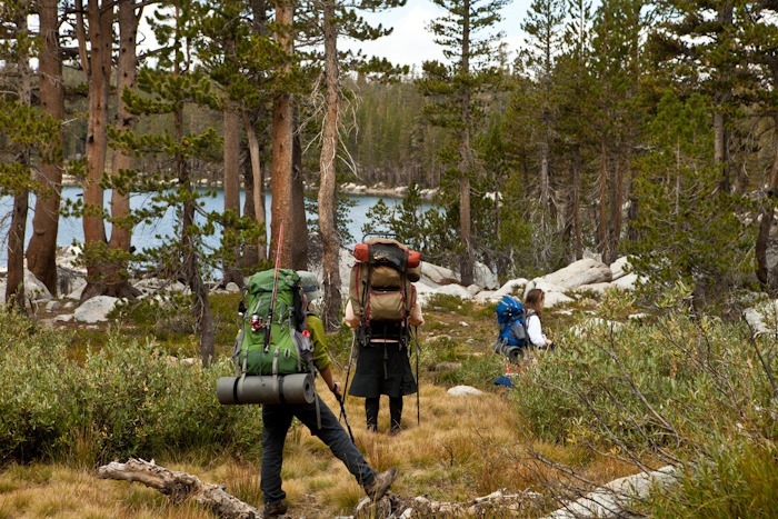
Sunday was the beginning of our three day backpack to Young Lakes.  It took a few hours on Saturday night and most of Sunday morning to get everything packed up, but eventually we were ready to go.  Trish and I were using the same packs we had purchased to backpack to Young Lakes with my parents in ‘99, and the kids were sporting their brand new internal frame packs:

Day018_01

Day018_02

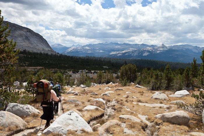
As I watched our son hike towards Cathedral Mountain, I considered the fact that he’s the third generation in our family to do this backpack:

Day018_03

We were hiking towards Young Lakes via the Glen Aulin trail, so we did a quick side trip to soda springs and Parson’s Lodge, a rustic cabin maintained by the Park Service. Our son did a little reading:

Day018_04

Day018_05

Day018_06

Day018_07

We were at nearly 10,000 feet of elevation, and on the climbs our labored breathing reminded us that the air is thinner at these heights:

Day018_08

Day018_09

As we came within a couple miles of Young Lakes, our son said “What’s over that ridge?”, so he and I hiked cross-county to take a look.  The Yosemite Wilderness seems to go on forever:

Day018_10

Day018_11

We caught up with Trish and our daughter and took a break:

Day018_12

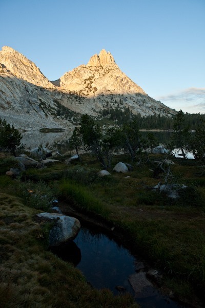
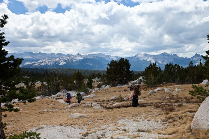
Here we are hiking below Ragged Peak, which towers above Young Lakes:

Day018_13

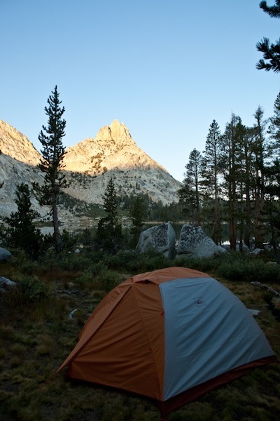
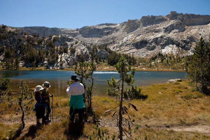
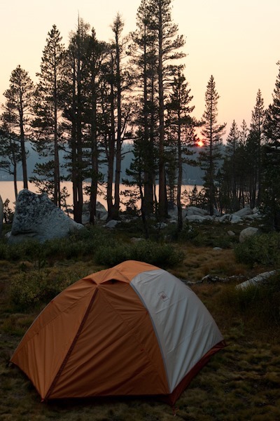
As the sun began to set, we found a nice spot on the Eastern end of the lake to set up our tent.  The view was simply amazing:

Day018_14

Day018_15

The stars that night were amazing.  The glow at the horizon was from the Rim Fire, burning 50 miles away:

Day018_16-2

Day018_17-2

Here are our hike stats: