After persistent complaints by the kids, we realized that some of yesterday’s laundry was missing. The landromat has no phone, so we called the neighboring barber shop and the owner was kind enough to go next door and confirm that indeed we had left a load in the dryer back in Tucson. The laundromat bagged up the clothes for us, and Trish headed out for what would be a 240 mile round trip to Tucson and back to recover our laundry. When I mentioned this to the camp host, she said “I’m so glad I’m not the only one that’s done that!”, so I guess this is not a unique event in the history of RV living.
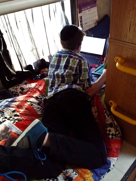
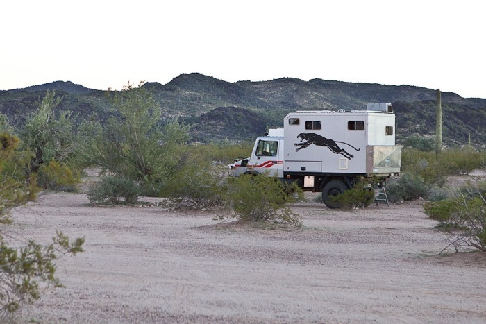
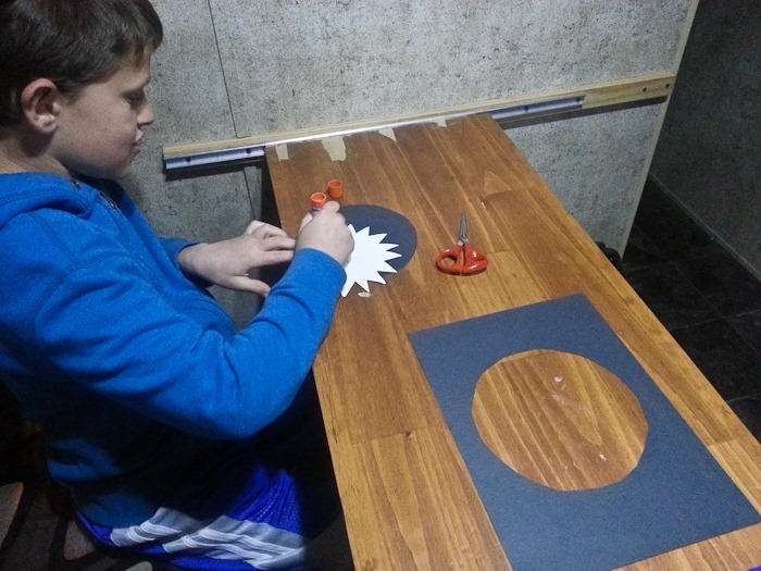
While Trish was gone, the kids decided to start writing novels. Our son worked in his “room” for part of the day:
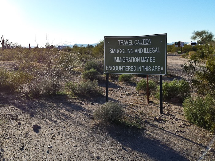
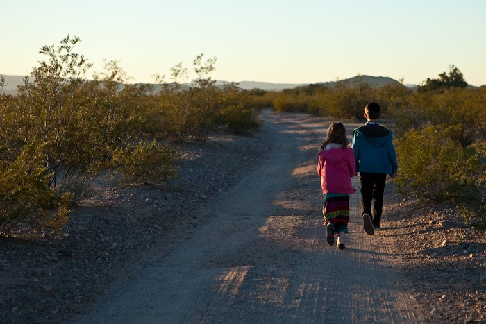
Around 5pm, we went for a walk. We passed the sign at the entrance to Gunsite Wash. This doesn’t inspire confidence in our government:
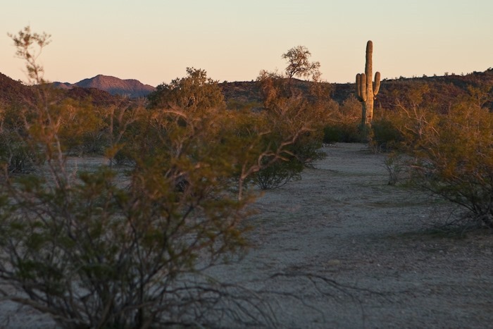
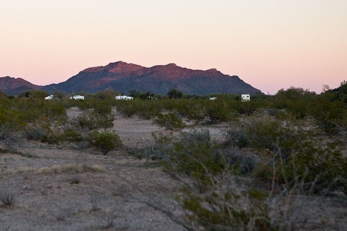
To the left of the Saguaro, the structure which the camp host calls “wagon train” can be seen on the horizon:
…And the “sleeping princess” can be seen on the right side of this photograph:
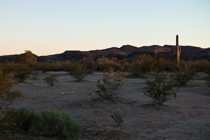
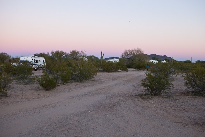
The hosts tell us that there are 13 RVs here at Gunsite Wash, though in the past the number has gone as high as 200. Most RVs are clustered near the entrance to this 1,200 acre site:
This fellow is ready for anything:
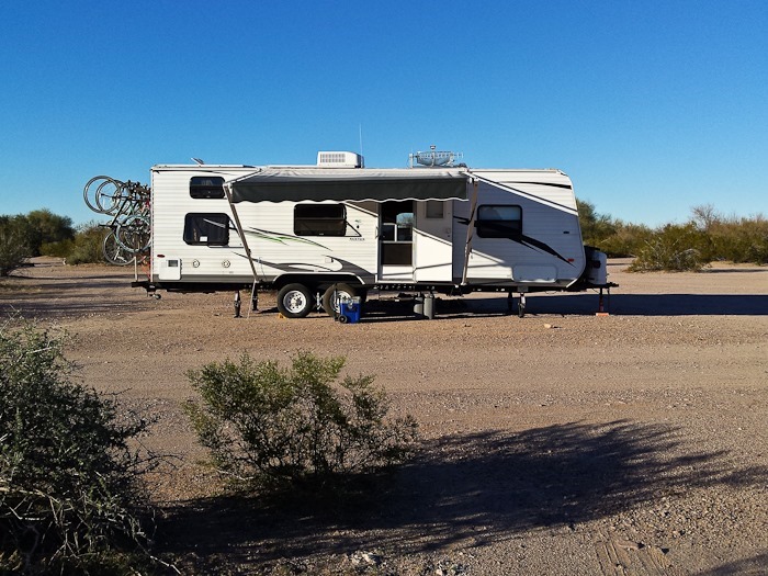
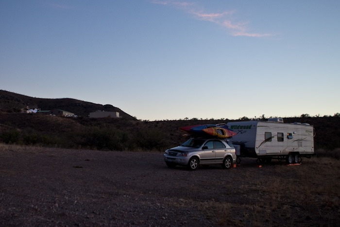
We are the unit on the far right of this photograph:
Tomorrow we will try again to visit Organ Pipe Cactus National Monument.
The town, of Why, AZ, that is. But let’s do this in order.
This morning we ran errands, including dumping tanks, buying thermistors for an Arduino project, getting gas, buying another drill battery for raising and lowering our corner jacks, and buying alligator clip leads at Radio Shack. We then did laundry before heading West towards the afore mentioned Why, AZ.
Enroute, we passed Kitt Peak, where the Mayall Telescope building and the ARO Radio Telescope could be seen on the ridge:
After reaching Why, we headed South briefly to reach Gunsite Wash BLM camping area. Gunsite wash is typical BLM land where dispersed camping is allowed, but abuse of the site caused BLM to install a camp host and turn it into a supervised BLM site.
Another 20 miles down the road is Organ Pipe Cactus National Monument, and five miles beyond that is the Mexican border. We plan on visiting the Monument tomorrow. See the trip map for details.
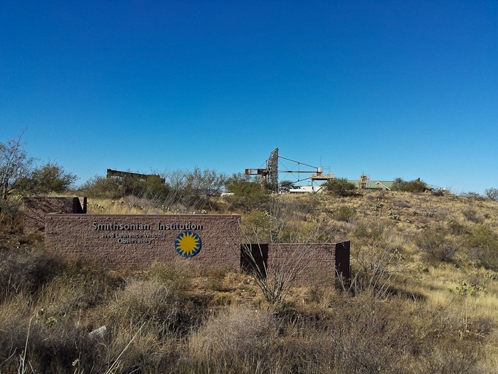
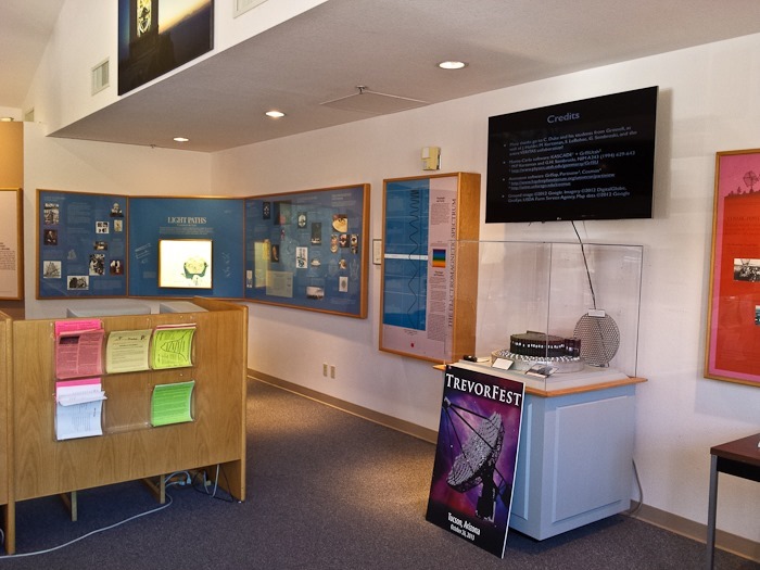
This morning, we left the RV where it was and walked the half mile or so up to the Whipple Observatory visitor center:
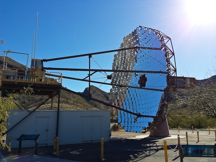
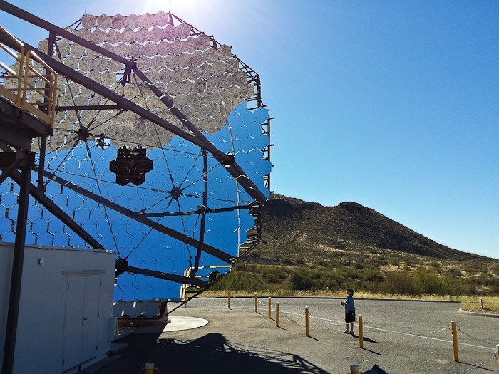
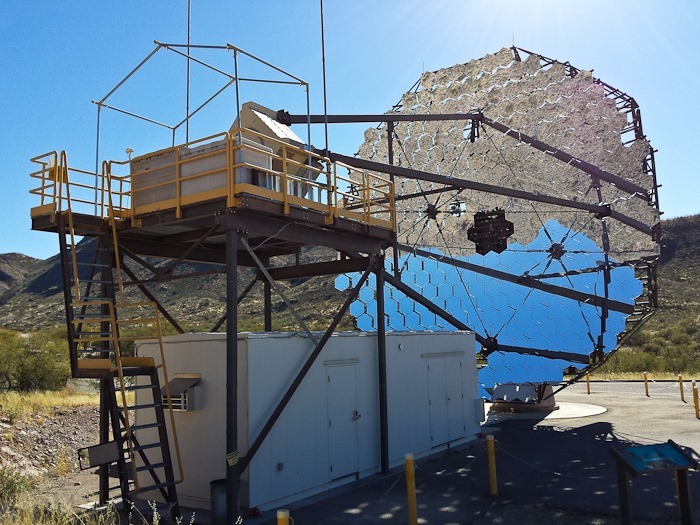
The visitor center is 12 miles and 4,500 vertical feet below the observatory itself, which sits atop the craggy summit of Mount Hopkins. The primary instruments located at the visitor center are the VERITAS gamma ray telescopes. Each of the four telescopes in 30 feet in diameter:
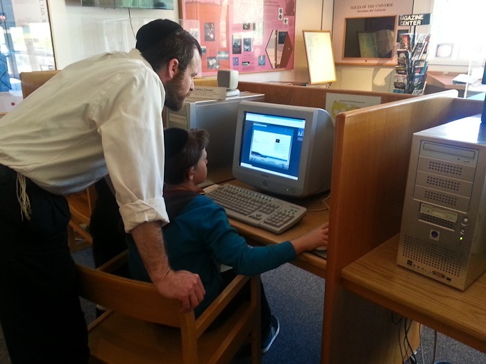
In the visitor center, stations are set up to schedule an astro-photograph to be taken from the on-site automated telescopes. Assuming there are clear skies tonight, we should receive our image of the Ring Nebula (M57) tomorrow:
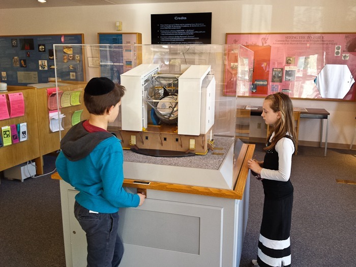
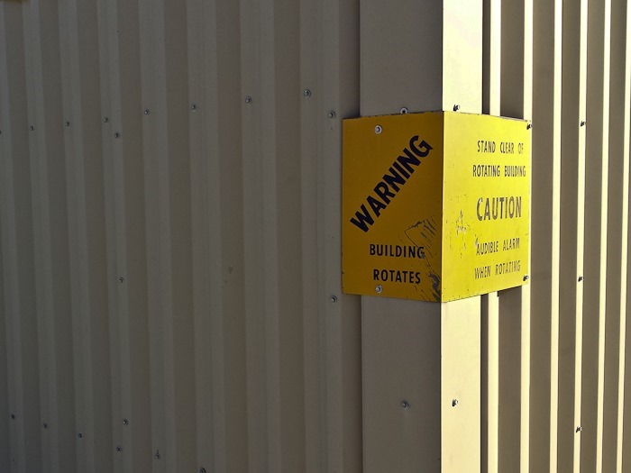
The visitor center had a model of the MMT, which sits at the top of Mount Hopkins. Initially a telescope with six 1.8 meter mirrors, the MMT was refitted with a 6.5 meter mirror thanks to a new mirror spin-fabrication technique that now allows mirror greater than 5 meters in diameter to be made in a practical weight. The MMT houses the third-largest optical mirror in the world. To keep the size of its building practical, the entire building rotates, allowing the telescope to only have to rotate up and down within the building:
Trish ponders one member of the VERITAS array:
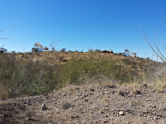
As we walked back to the RV, we could see two of the VERITAS telescopes:
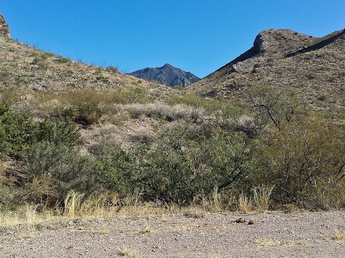
In the distance, we could make out the MMT on Mount Hopkins:
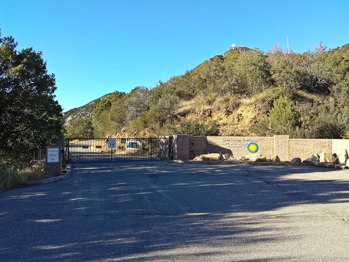
Unfortunately, the only to see the MMT up close is by tour bus, as vehicle traffic is restricted about 2 miles from the summit. Because the summit is at 8500 feet, ice is a frequent problem on the road, so the tour bus only operates from March through the fall. The docent did say that the road is open to bikes, so I decided to attempt the ride. It’s a 12.2 mile road, mostly gravel, to the top, with 4500 feet of vertical climbing. This climb, on pavement, is a UCI Climb Category 1 climb, and is only 500 feet of climbing shy of being rates Hors Catégorie, the highest rating for a climb in road cycling.
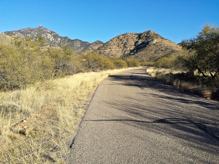
The first couple miles of the route are paved:
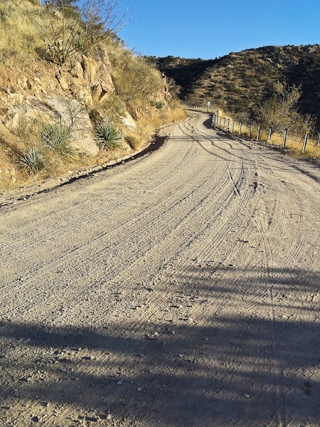
The road quickly gets steep and goes to gravel:
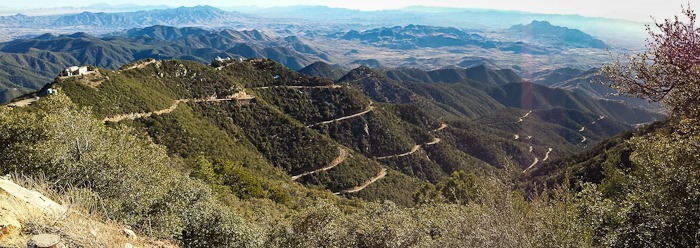
At 6000 feet, I started to encounter snow on the shoulder and bits of ice on the road. With 5 miles to go, there’s still a lot of up left. Note the switchback below:
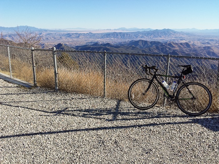
After 10 grueling miles of constant climbing, the road goes back to being paved and there’s a gate to be walked around:
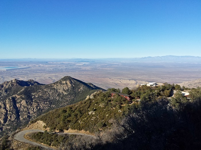
The summit is at 8500 feet, so breathing became even more difficult in the final stretch. The last 200 yards ratchet the grade up to over 20%! At the summit, the cycle computer reported 12.2 miles ridden in 1 hour, 57 minutes, with 4634′ or vertical climbing. Once at the top, I could look down on the dorm facilities for the researchers:
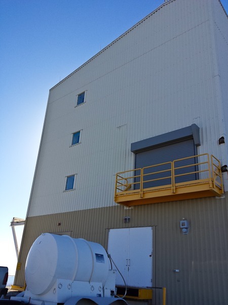
The top of the mountain is so small that I couldn’t get far enough away to take a photograph of the whole MMT building:
It’s disconcerting that the sign is scratched. I wonder what they hit…
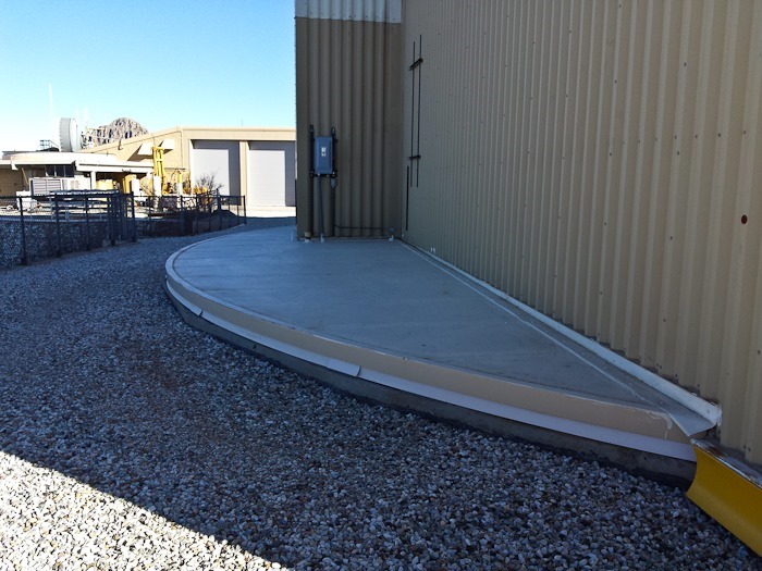
At ground level, the building’s base rotates over the pad underneath:
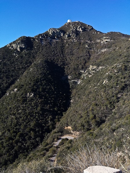
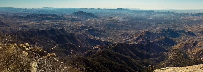
The ribbon of road up to the summit can be seen starting on the right edge of the photo:
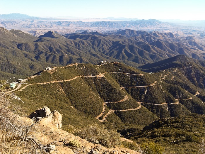
More of the crazy climb to the summit. The 1.5, 1.3, and 1.2 meter reflector buildings can be seen in the center of the photo:
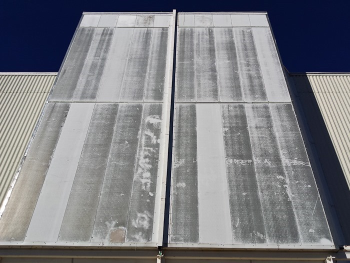
The doors of the MMT building:
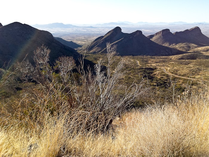
Another view of the last few miles of the climb:
The first 100 yards of descent from the MMT building are so steep that I walked the bike down lest a hardware failure lead to an uncontrolled vault over the railing to the rocks far below. After that, I did my best to keep both speed and rim temperature under control. It took about 45 minutes to get down.
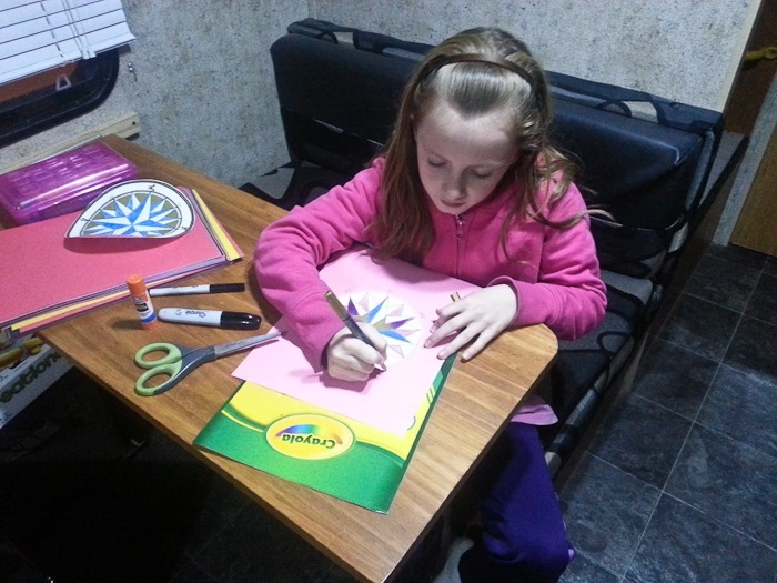
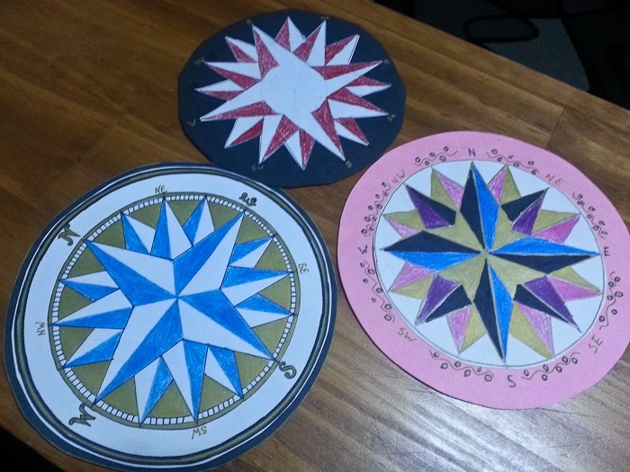
Back at the RV, the kids were completing a geography unit making their own compass roses:
After showers, we headed out at dusk about 40 miles North to overnight once again at the Desert Diamond Casino. See the trip map for details.
We were out for a walk on Shabbos when we noticed that in addition to every RV parked near us having horses and dogs, there was also a large enclosure for quail. We also noticed that all the dogs looked very similar. We assumed that the quail were for hunting. On our way back to the RV, we ran into Margaret, who told us that we had inadvertently stumbled into an American Kennel Club competition, called a Field Trial, for Brittany dogs.
Field Trails are a kind of simulated hunting exercise. For a detailed explanation, see here. Like our experience being accidentally imbedded in a motocross hillclimbing competition, we had no idea that this sport even existed. Like other RVs here, Margaret and her husband Tom had a gooseneck trailer which had a living area in front, a kennel and tack area in the center, and a horse area in the rear.
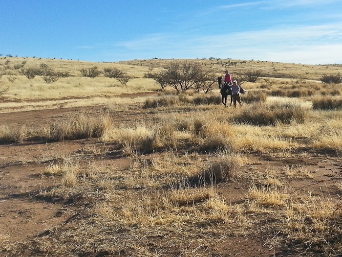
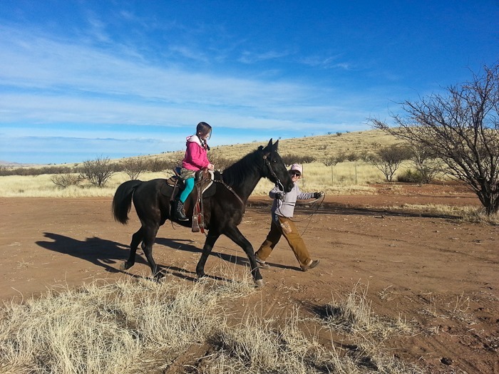
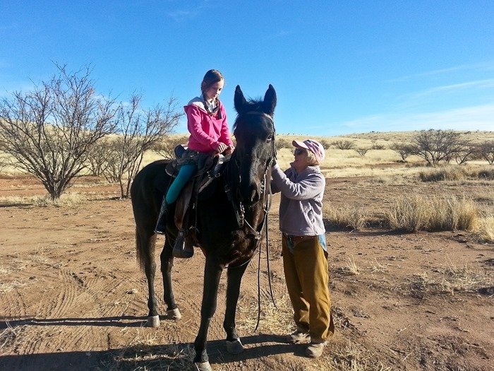
This morning, Margaret took our daughter for a ride on one of the three horses they brought to this competition:
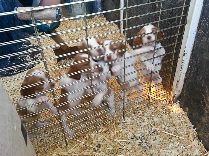
Trish and the kids visited another trailer with Brittany puppies. Looks like they’re ready to find some birds!
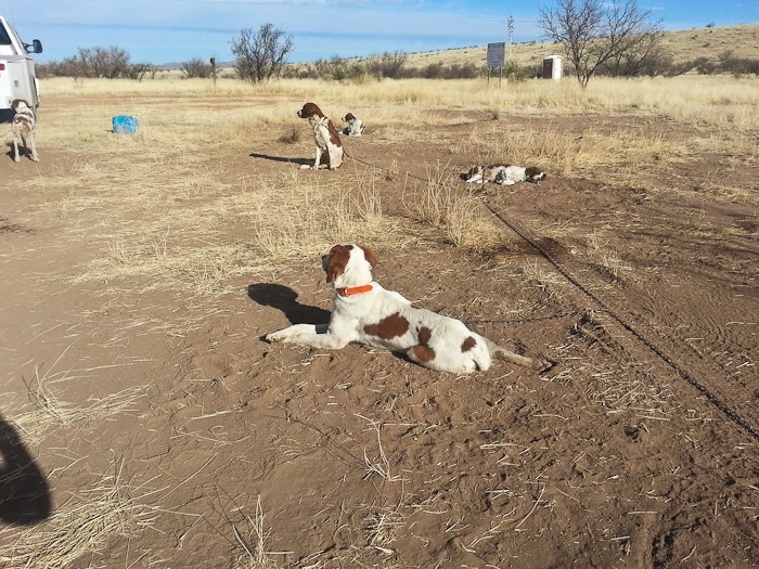
Margaret’s dogs rest before competition:
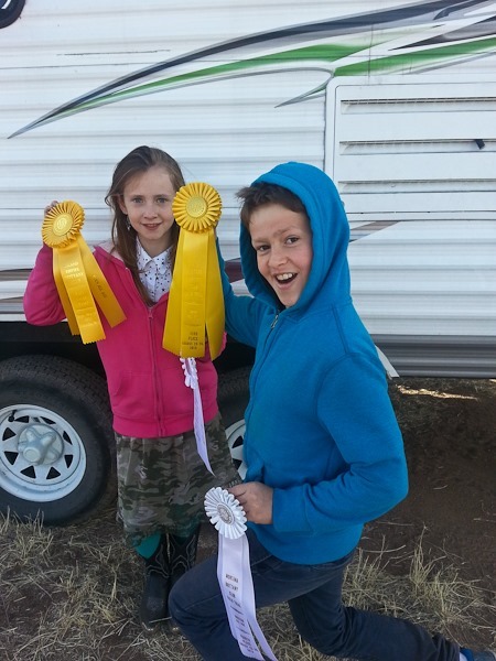
Margaret also gave the kids a couple ribbons her dogs had won at prior events. They travel from competition to competition for half the year, and it sounds like they have no shortage of ribbons. Thanks Margaret and Tom!
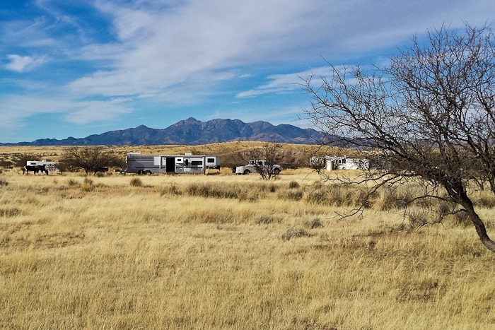
The grasslands go on forever:
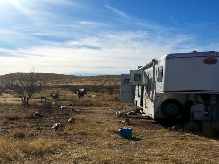
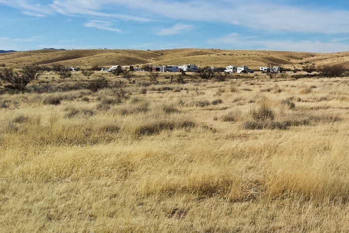
There were two bunches of RVs here for the competition:
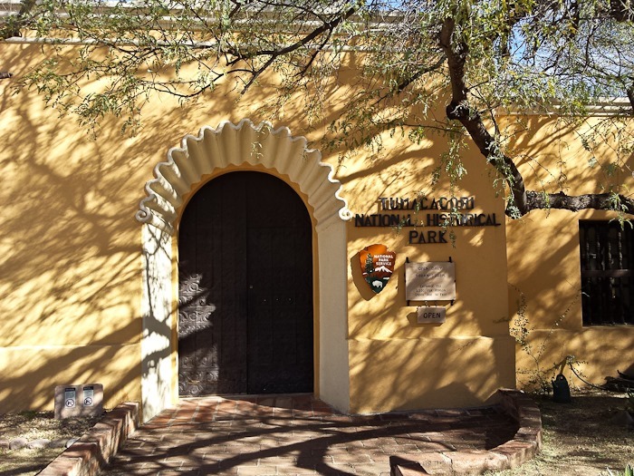
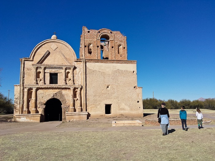
Tumacácori mission was one of the missions established by the Jesuits to impose Christian culture on the native population. The historical sequence reminded me of attempts by the Greeks to Hellenize the Jews. This church was built in the early 1800s:
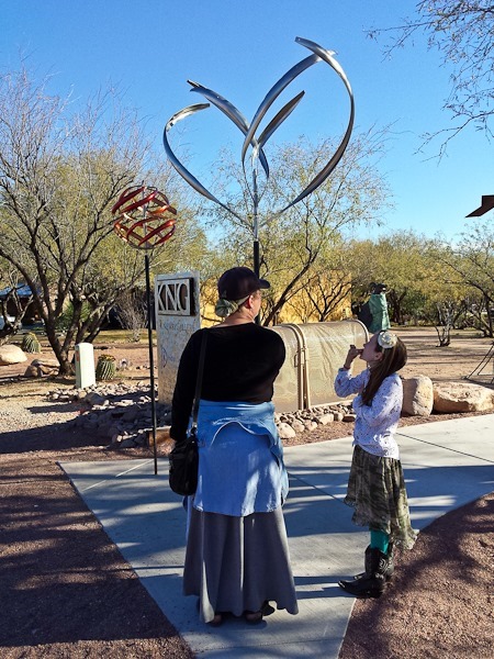
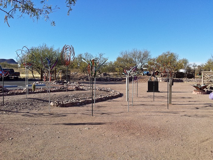
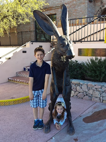
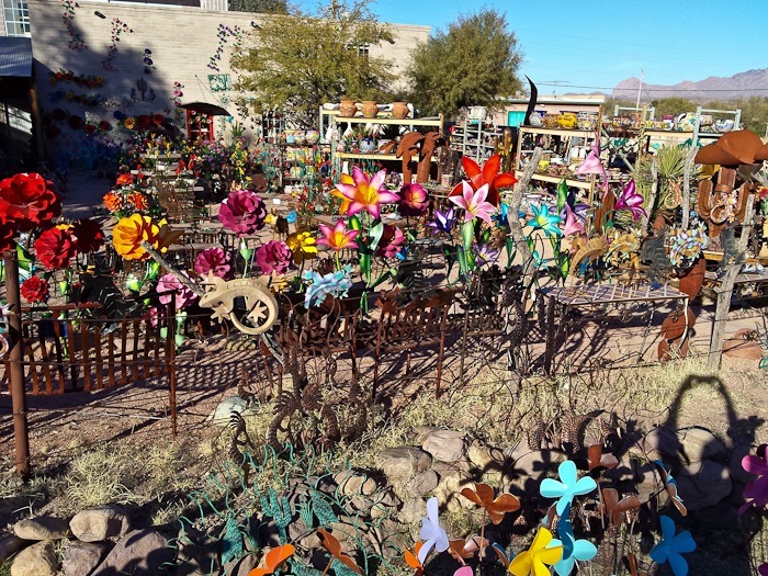
We headed north to Tubac, AZ. Tubac is a four-by-four-block artists community. There were a number of kinetic wind sculptures on display:
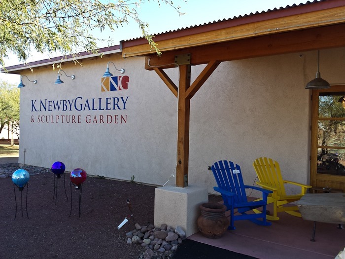
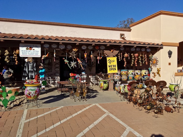
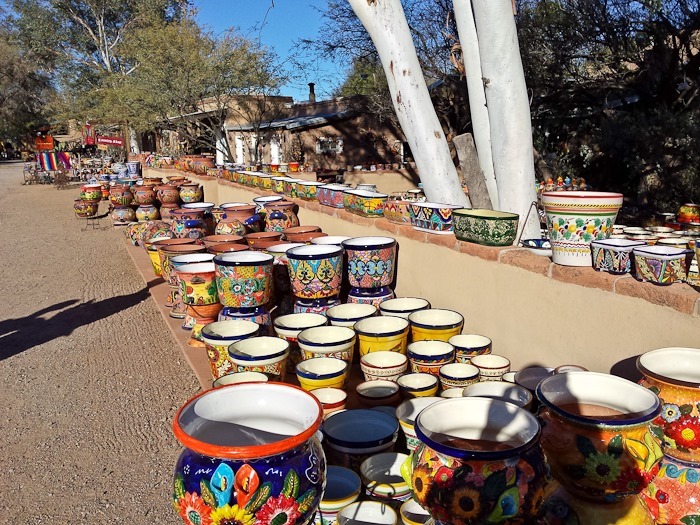
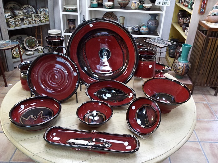
There are dozens of stores selling a wide variety of things you don’t need:
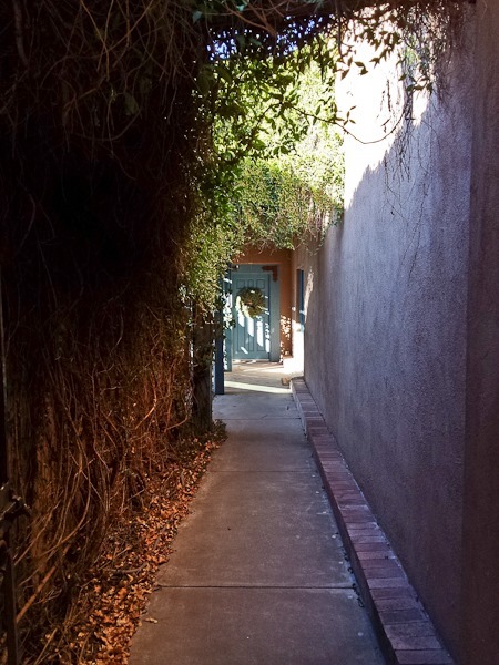
This was the entryway to some kind of “healing center”:
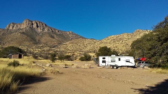
Leaving Tubac, we still wanted to visit the Whipple Observatory. Looking at the various apps on my phone, I could see that the observatory was within the Coronado National Forest, so we could do dispersed camping there. The satellite photo showed a number of pullouts beyond the visitor center, so we decided to go for it. We drove in about 10 miles on the access road and found a great pullout just below the visitor center:
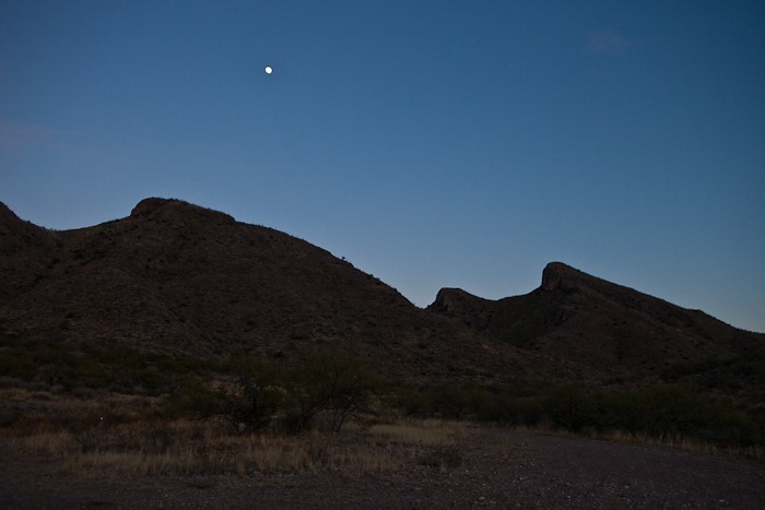
The moon was already rising:
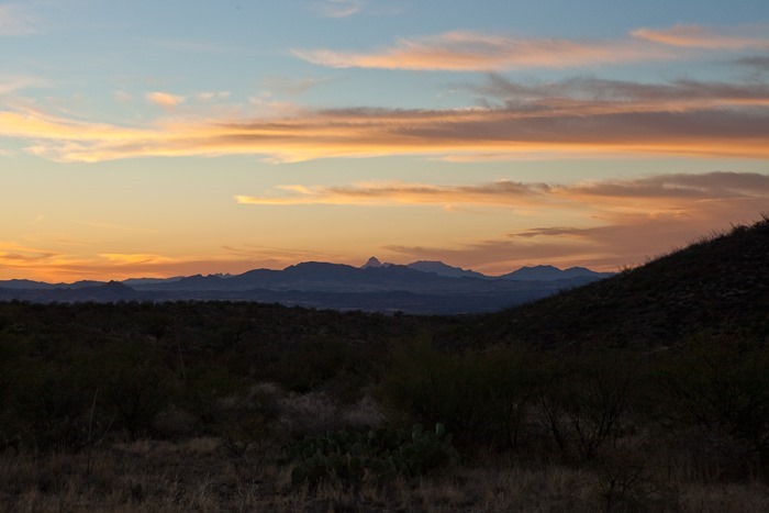
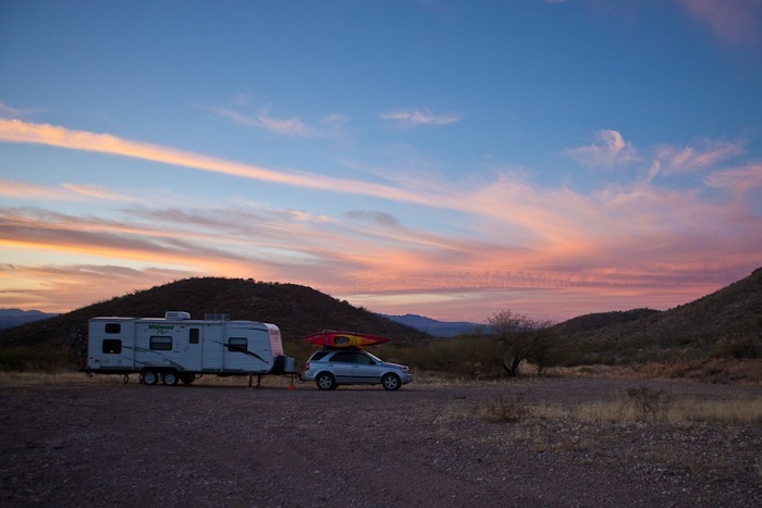
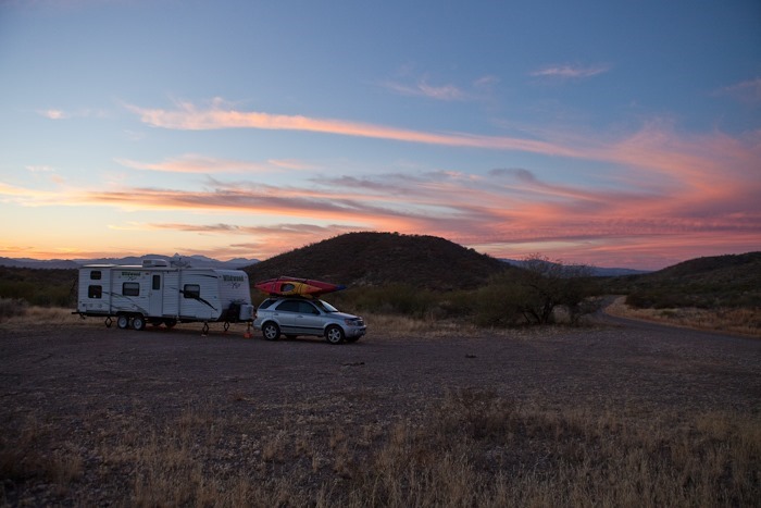
Another great Arizona sunset:
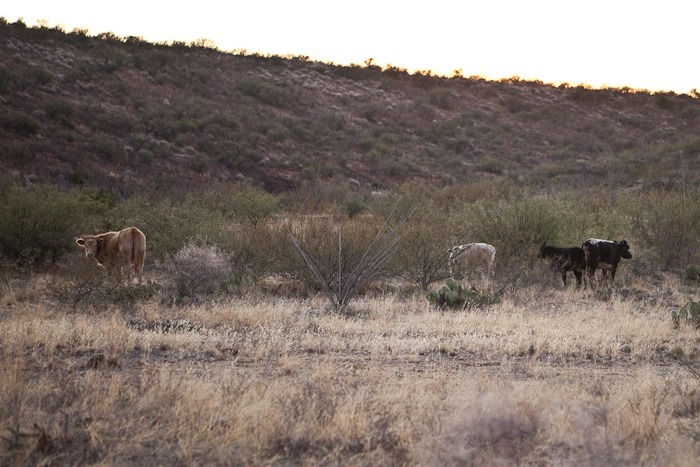
As we set up, the bull on the left kept glaring out us. We were worried he would charge:
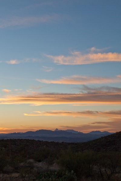
Just beautiful:
Tomorrow we will explore the visitor center. See the trip map for today’s drive.
It was a beautiful morning in the Huachuca Mountains:
We drove North to Fort Huachuca. It’s an active military base, so once we cleared the security checkpoint we drove to the museum area. We visited the museum annex first, which had a mock town set up inside, and talked about the history of the area:
Like Fort Bowie, For Huachuca was set up to suppress the Apache Indians.
Fort Huachuca is now a base that focuses on military intelligence, so we visited the military intelligence museum next, which discussed the history of military intelligence:
At the main museum, the entire history of the base was discussed:
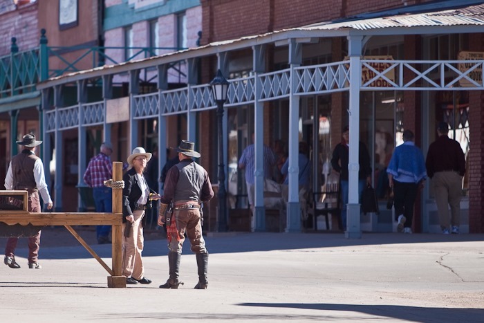
From there, we drove Northeast to Tombstone, AZ. It’s set up as a tacky tourist trap, with the entire downtown having been converted to shops:
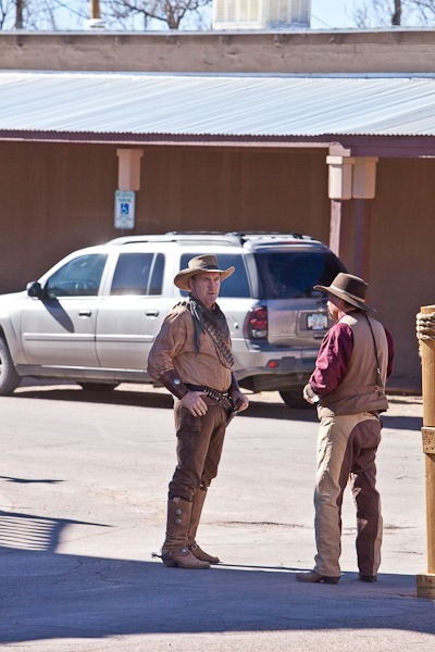
These “cowboys” shout out attractions for tourists to visit:
The actual alleyway where the fight occurred has been fenced off. Tourists can pay to watch a reenactment of the fight inside:
The county seat is a beautiful building:
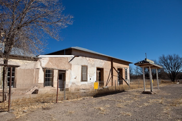
From Tombstone, we drove West to the ghost town of Fairbank. I found the history of Mexican land grants in the US to be especially interesting. BLM has restored what few buildings remain. It’s hard to believe that this was a town of hundreds of residents relatively recently:
The schoolhouse functioned until the 1950s:
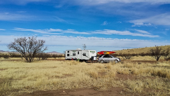
From Fairbank, we drove West to our camping location at Las Cienegas National Grassland. We had read about this location on the WheelingIt blog, and it was described as being virtually deserted. When we pulled in, we found 20 other RVs here already. We parked away from what is obviously a group. There’s a water truck here, a dumpster, and everyone has horses and dogs.
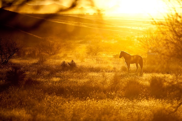
As the sun set, the endless grasslands began to glow, and I photographed this horse silhouetted in the dust it was kicking up:
See the trip map for today’s driving details. Good Shabbos from Las Cienegas National Grassland!












 Facebook
 Instagram
 Email
Email