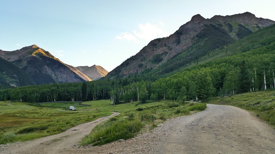
Summer 2017, Day 21: Picket Wire Canyon Dinosaur Tracksite

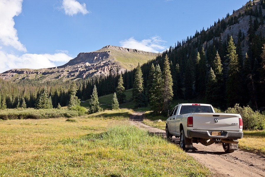
We woke up to a warm day in Eastern Colorado:

Summer2017_Day21_001

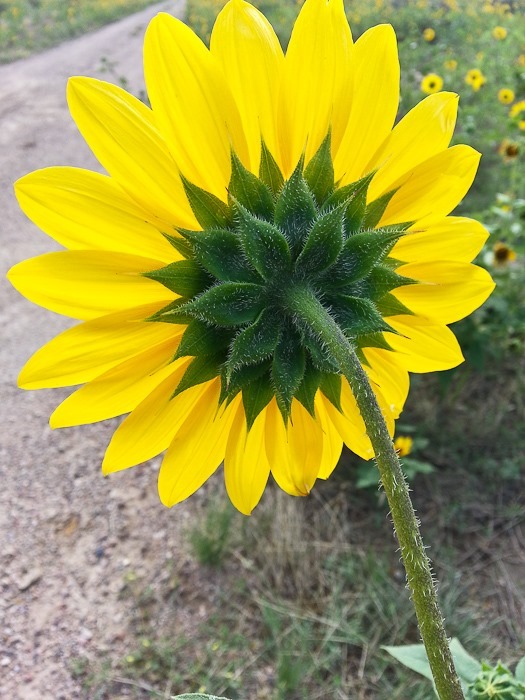
Here at Picket Wire Canyon, there are wild sunflowers everywhere:

Summer2017_Day21_002

Summer2017_Day21_003

Summer2017_Day21_004

Summer2017_Day21_005

Summer2017_Day21_006

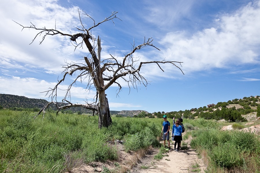
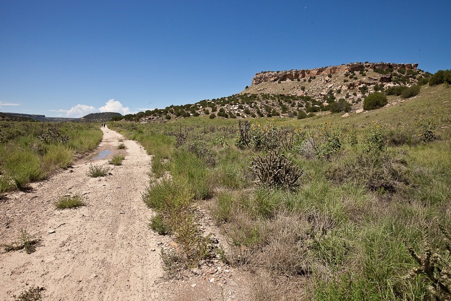
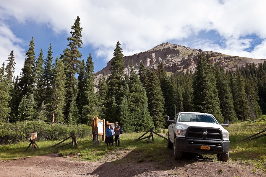
We unhitched the truck and drove to the trailhead for the 12 mile round-trip hike in the canyon:
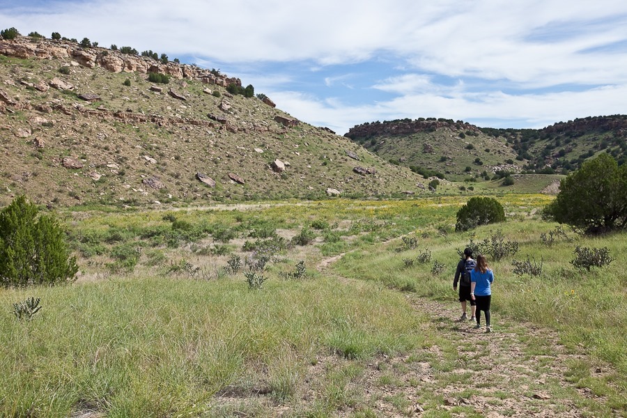
Summer2017_Day21_007

Summer2017_Day21_008

As we walked, we startled dozens of grasshoppers to flight.  They’re pretty big, and all the swatting slowed our progress:

Summer2017_Day21_009

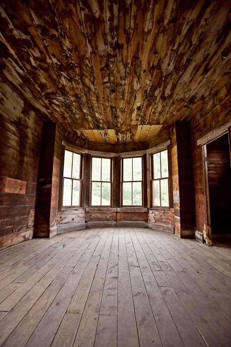
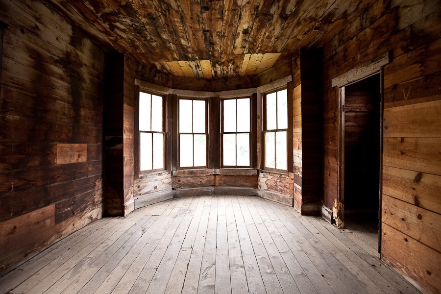
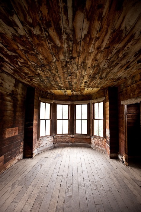
The canyon is dotted with abandoned homesteads:

Summer2017_Day21_010

Summer2017_Day21_011

Ants create strange cones of debris around their holes, maybe for flood protection?

Summer2017_Day21_012

Summer2017_Day21_013

Summer2017_Day21_014

Summer2017_Day21_015

Summer2017_Day21_016

Summer2017_Day21_017

Summer2017_Day21_018

There are remarkable variety of grasshoppers here:

Summer2017_Day21_019

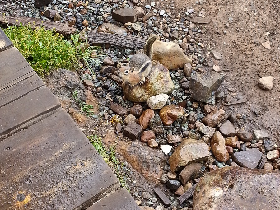
Another canyon dweller:

Summer2017_Day21_020

Ruins of a 19th century church and cemetery:

Summer2017_Day21_021

Summer2017_Day21_022

Summer2017_Day21_023

Summer2017_Day21_024

Summer2017_Day21_025

A Dung beetle taking home his prize:

Summer2017_Day21_026

The “rock” on the left is a recreation of a dinosaur fossil found here:

Summer2017_Day21_027

Summer2017_Day21_028

At last we arrived at our goal for today, the Purgatoire River track site.  It’s the largest dinosaur track site in North America.  Portions of the track site were discovered as recently as 2014:

Summer2017_Day21_029

The tracks are so well preserved that it’s easy to imagine this meat-eating Allosaurus roaming the area, hunting for prey:

Summer2017_Day21_030

Glad they’re not here now:

Summer2017_Day21_031

We had to ford the Purgatoire River to see the rest of the tracks.  The river was flowing fast enough that I was worried we would be swept off our feet:

Summer2017_Day21_032

Summer2017_Day21_033

This side of the river has tracks left behind by the massive plant-eating Apatosaurus.  It was neat to follow the tracks and imagine these lumbering beasts wandering the river bank:

Summer2017_Day21_035

Summer2017_Day21_036

Summer2017_Day21_037

Summer2017_Day21_038

This interpretive sign shows the tracks as seen from the air:

image

We made our way back across the river.  I used a branch as a brace to prevent being knocked off my feet by the current:

Summer2017_Day21_039

Summer2017_Day21_040

Summer2017_Day21_041

We spotted this Horned lizard on the way back:

Summer2017_Day21_042

We picked up the pace on our return trip.  Thunderstorms were closing in on us from behind with sporadic lightning, and we were the tallest feature on the trail, so we wanted to get back to the truck before the storm reached us:

Summer2017_Day21_043

Summer2017_Day21_044

Summer2017_Day21_045

Summer2017_Day21_046

We got back to the truck as it started to rain and drove back to the RV:

Summer2017_Day21_047

Summer2017_Day21_048

We drove north to La Junta, Colorado to overnight at the Walmart there:

Summer2017_Day21_049

See the alternating light blue line on the trip map for today’s drive.
Summer 2017, Day 20: Driving the Alpine Loop

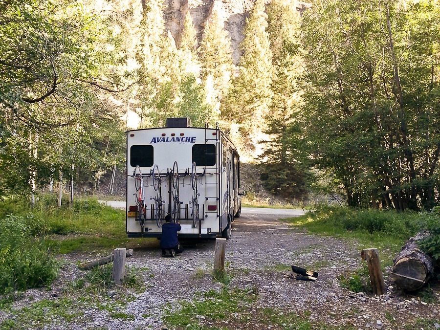
Surprisingly, after yesterday’s climb of Uncompahgre Peak, we were able to walk without pain.  We hitched up the RV and said goodbye to our roadside campsite:
 

Summer2017_Day20_001

Summer2017_Day20_002

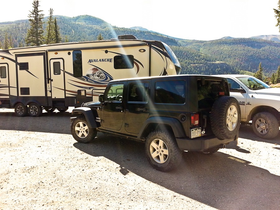
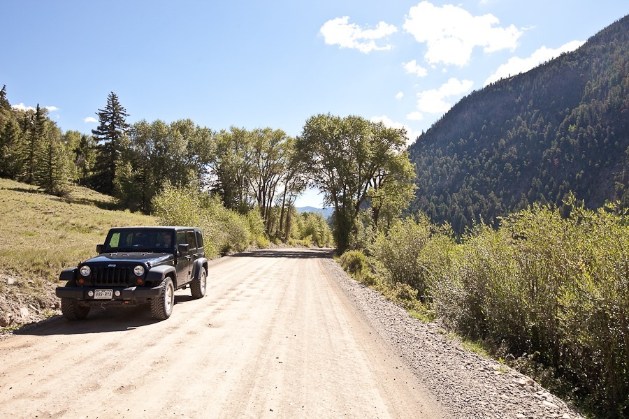
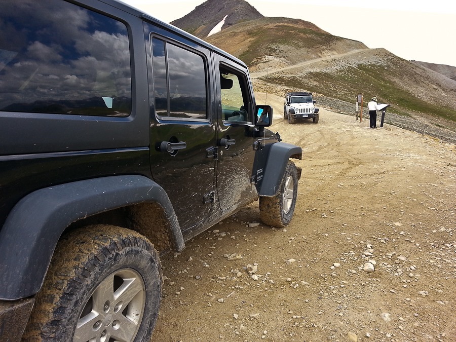
We drove down to Lake City and south to an RV park that rents Jeeps.  We got a black one:

Summer2017_Day20_003

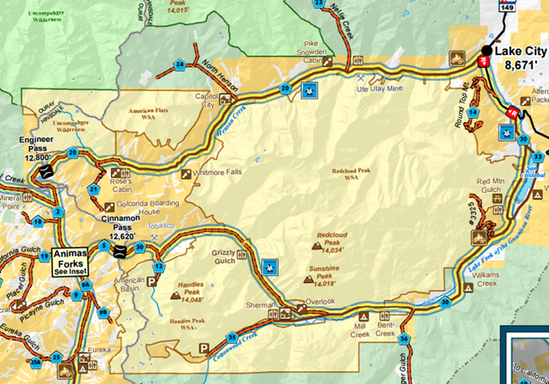
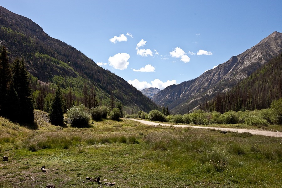
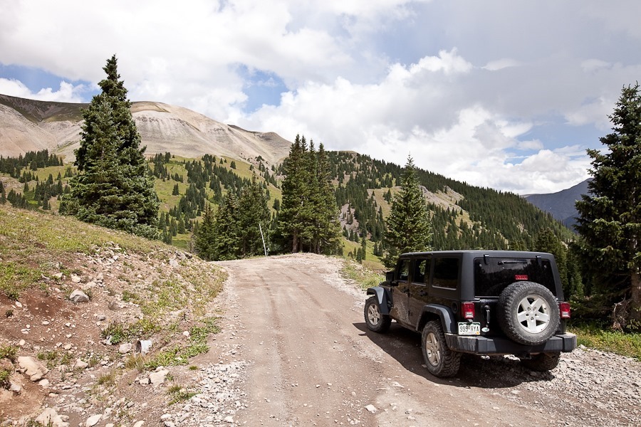
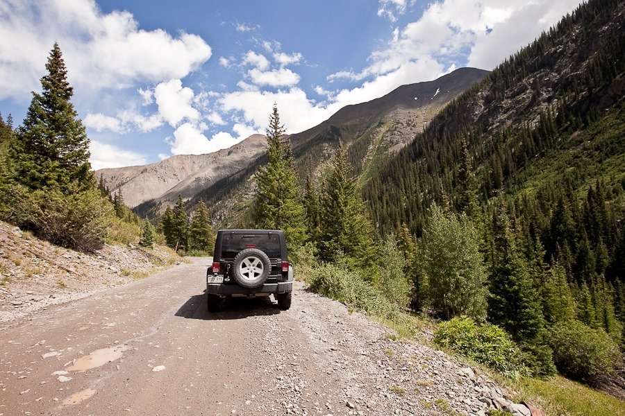
Today’s goal was to drive the Alpine Loop National Back Country Byway. Portions of the road are singletrack and have switchbacks too tight for our truck to navigate, which is why we rented the Jeep.  We are driving the route clockwise:

image 
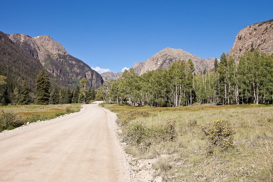
The route started out easily enough:

Summer2017_Day20_004

Summer2017_Day20_005

Summer2017_Day20_006

Summer2017_Day20_007

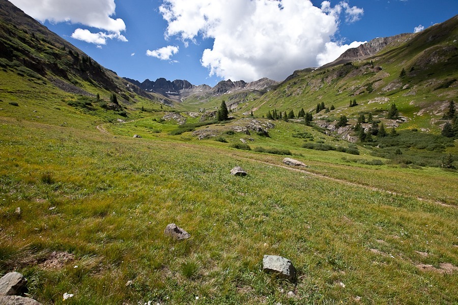
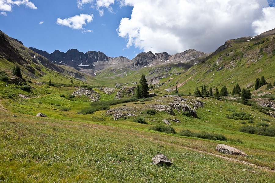
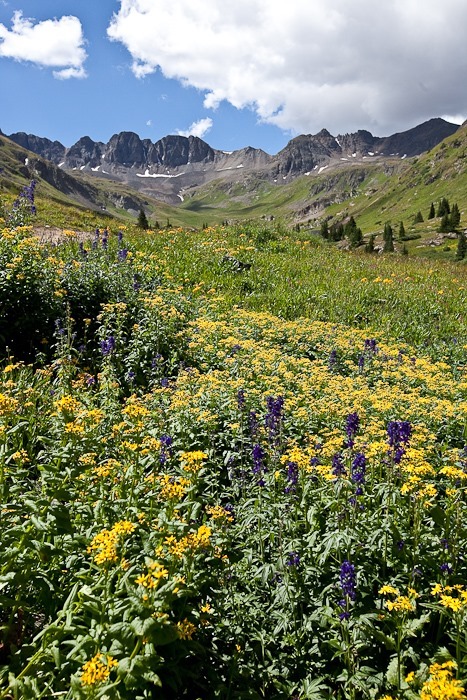
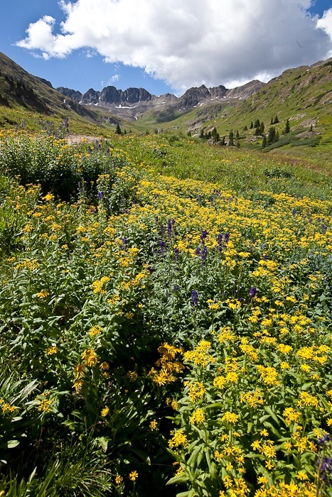
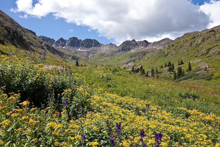
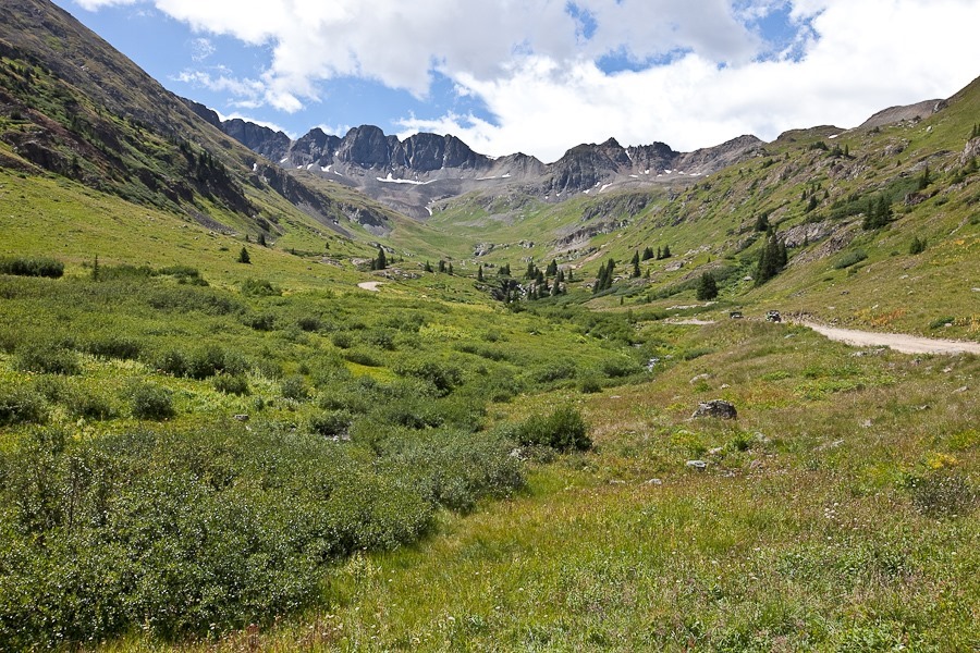
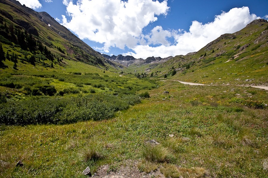
We took a short detour into fabulous American Basin:

Summer2017_Day20_008

Summer2017_Day20_009

Summer2017_Day20_010

Summer2017_Day20_012

Summer2017_Day20_013

Summer2017_Day20_014

Summer2017_Day20_015

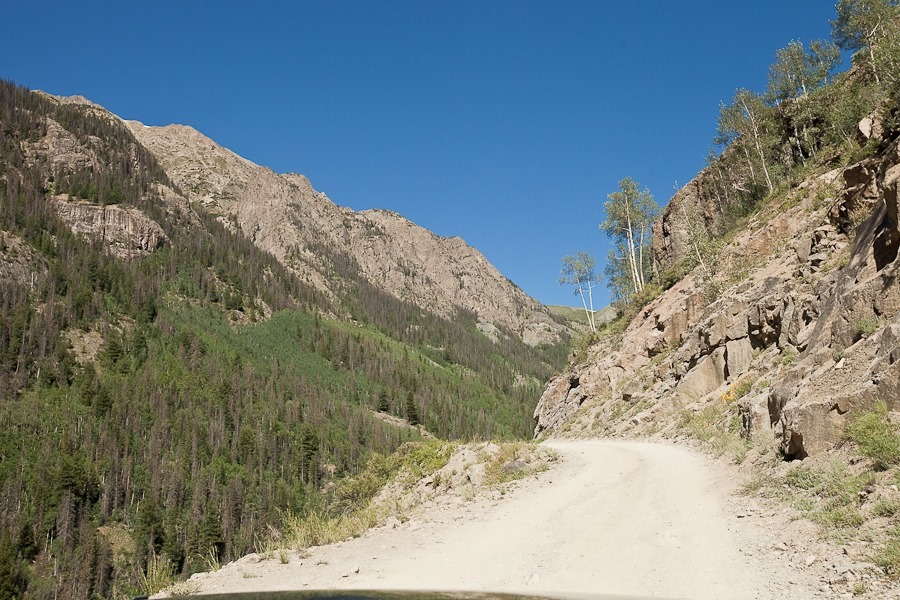
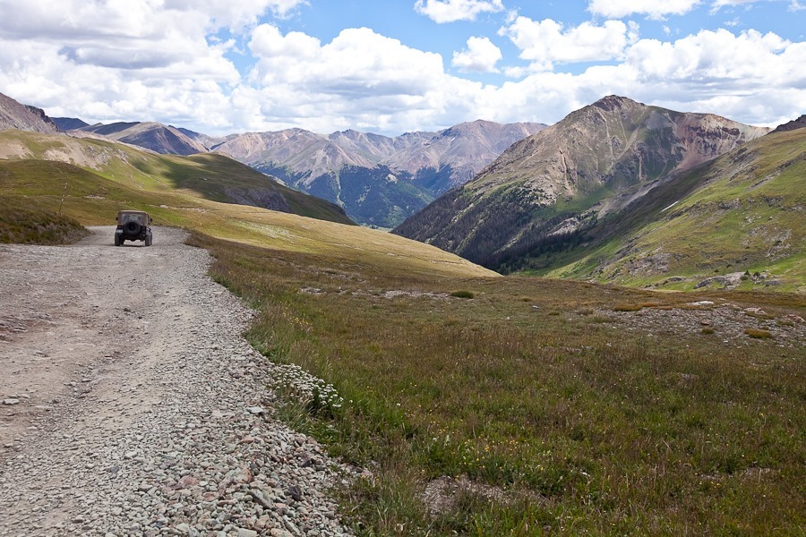
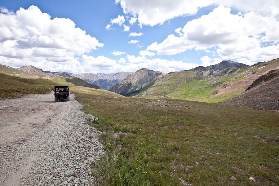
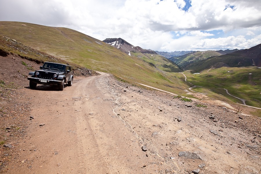
As we continued up toward Cinnamon Pass, the road became more challenging:

Summer2017_Day20_016

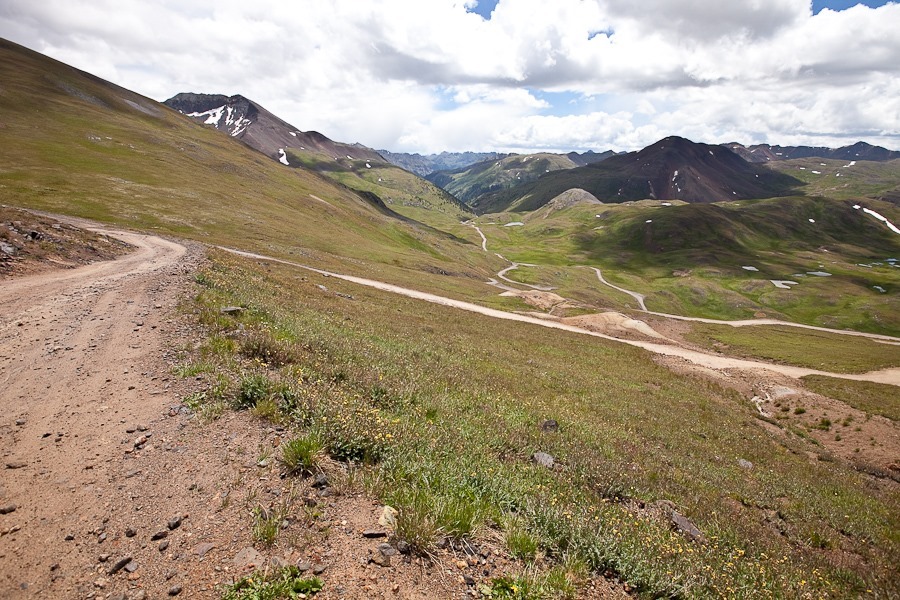
Looking back down the switchbacks we just drove up:

Summer2017_Day20_017

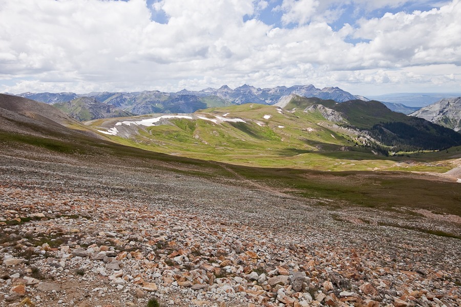
Looking down from Cinnamon Pass:

Summer2017_Day20_018

Summer2017_Day20_019

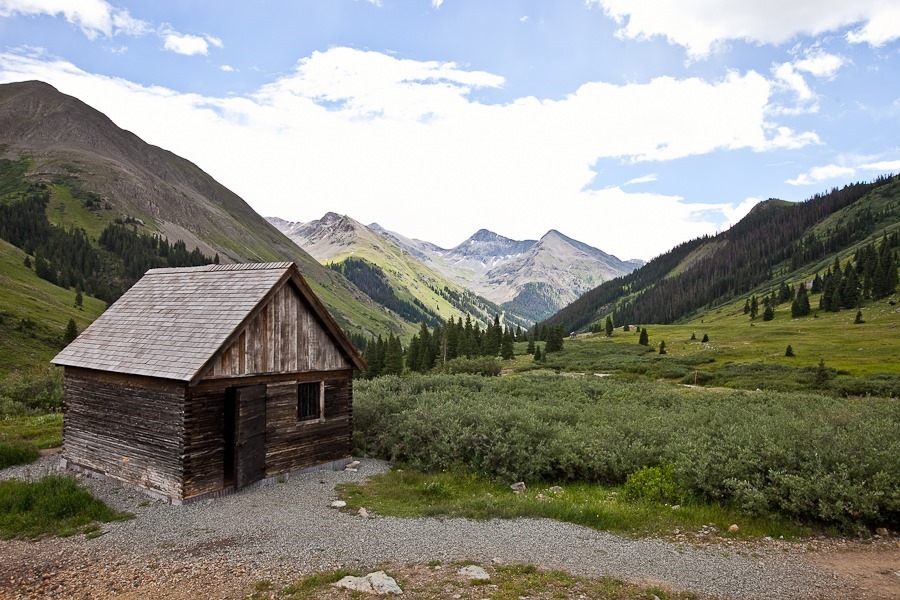
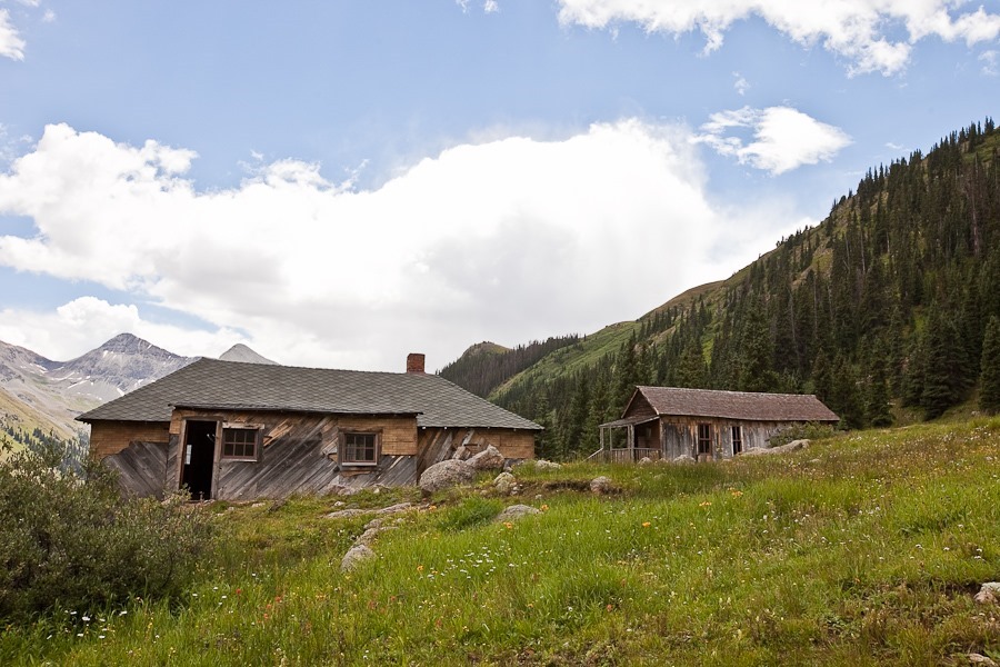
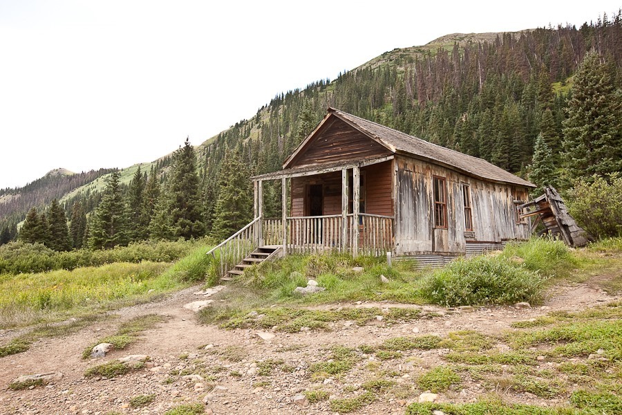
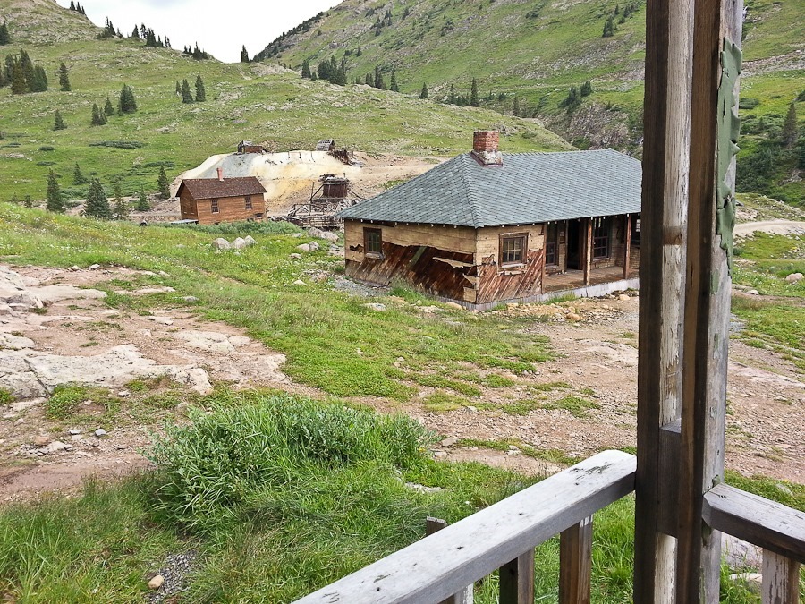
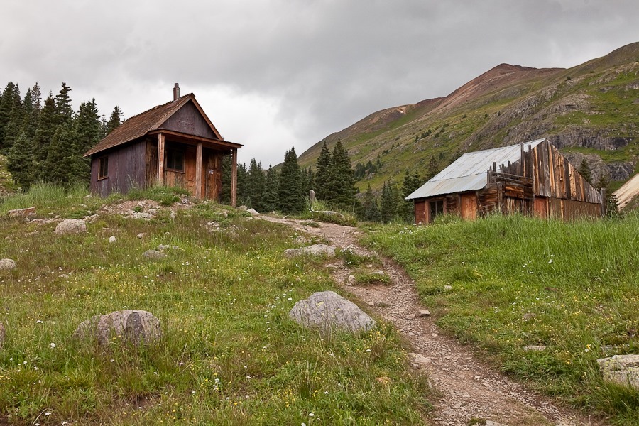
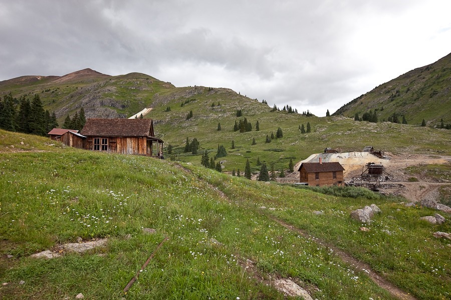
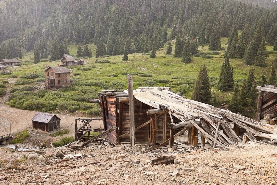
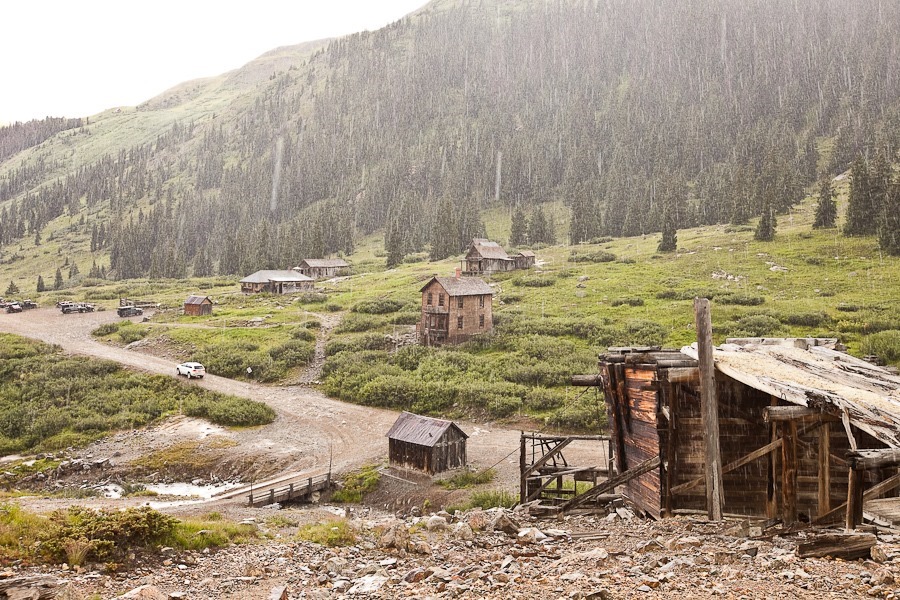
We continued down to the ghost town of Animas Forks, Colorado:

Summer2017_Day20_020

The old ore mill:

Summer2017_Day20_021

The town was an active mining community from the 1870s to 1920:

Summer2017_Day20_022

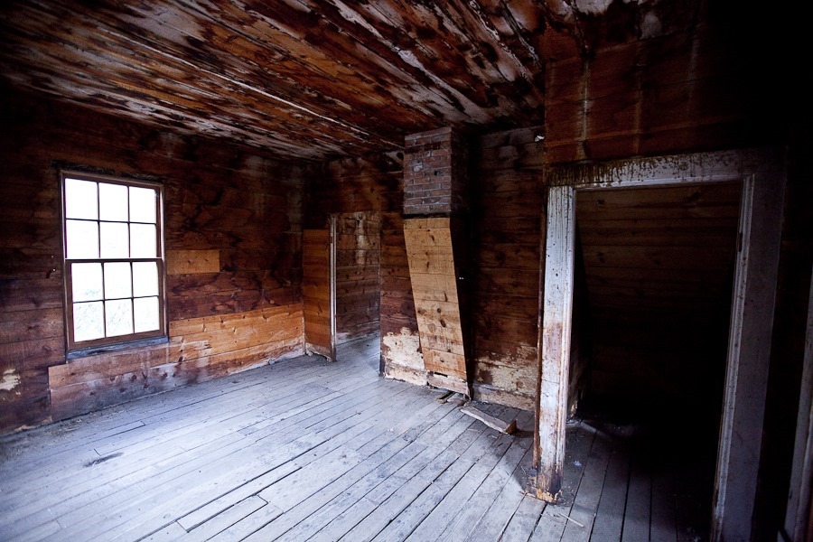
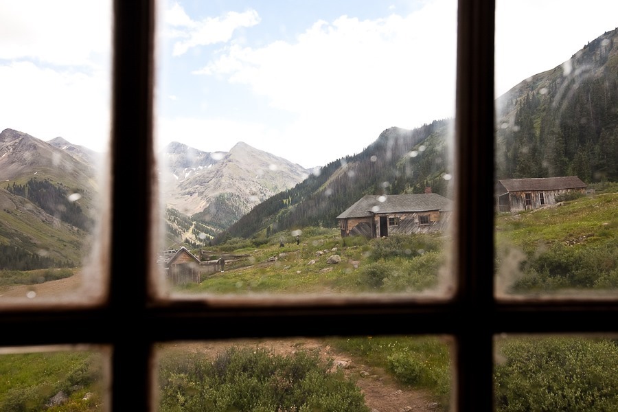
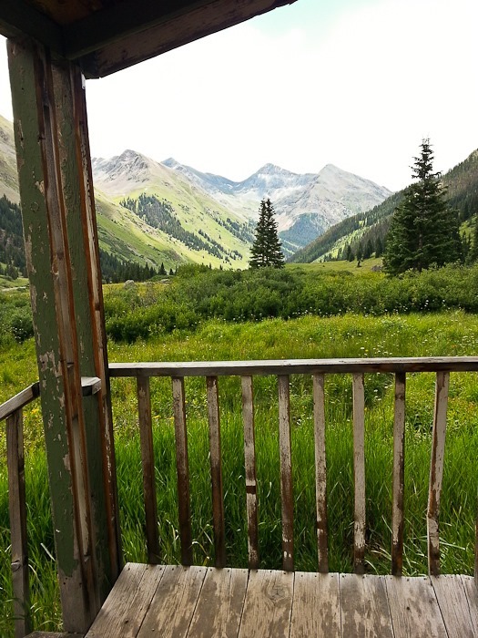
We looked around some of the buildings:

Summer2017_Day20_023

Summer2017_Day20_024

Summer2017_Day20_025

Summer2017_Day20_026

Summer2017_Day20_027

Summer2017_Day20_028

Summer2017_Day20_029

Summer2017_Day20_030

Summer2017_Day20_031

Summer2017_Day20_032

Summer2017_Day20_033

Summer2017_Day20_034

Summer2017_Day20_035

It started to rain as we wrapped up exploring the town:

Summer2017_Day20_036

Summer2017_Day20_037

From Animas Forks, we continued up towards Engineer Pass.  Looking back down towards Animas Forks:

Summer2017_Day20_038

Summer2017_Day20_039

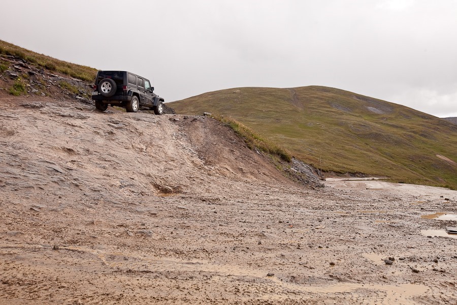
Some of the switchbacks were steep, and we had to be careful to avoid rolling over:

Summer2017_Day20_040

Summer2017_Day20_041

Summer2017_Day20_042

Summer2017_Day20_043

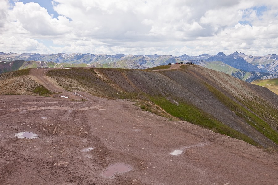
We arrived at Oh! Point, an overlook at the end of a narrow ridge:

Summer2017_Day20_048

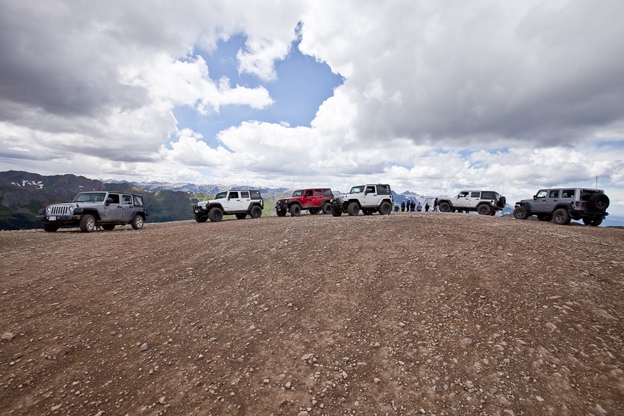
Lots of folks were here:

Summer2017_Day20_047

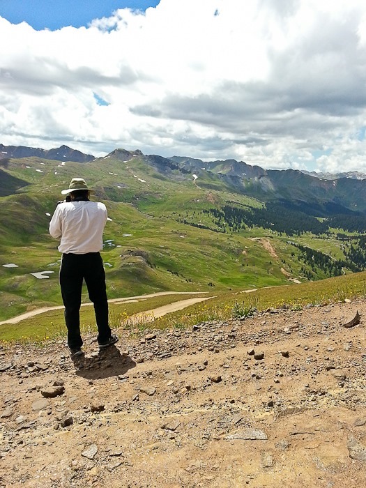
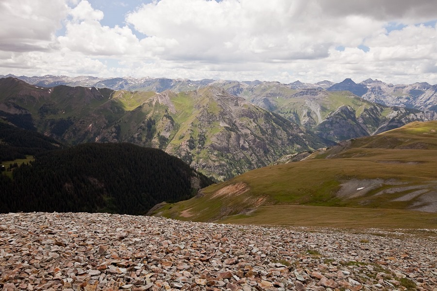
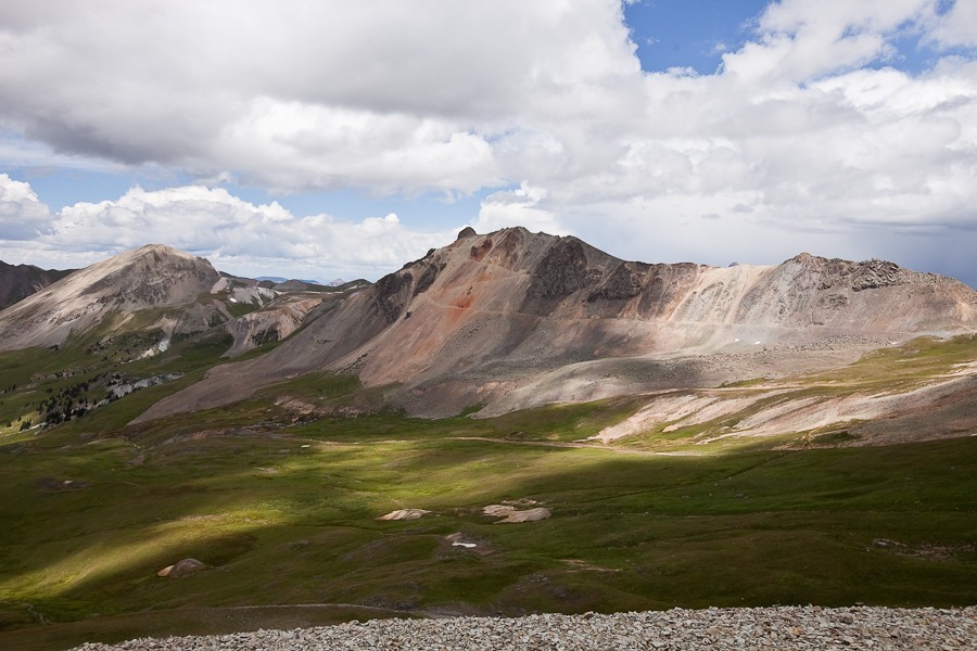
Views from Oh! Point:

Summer2017_Day20_044

Summer2017_Day20_045

Summer2017_Day20_046

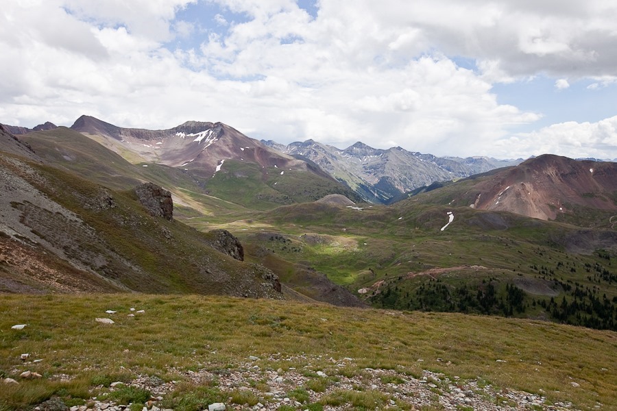
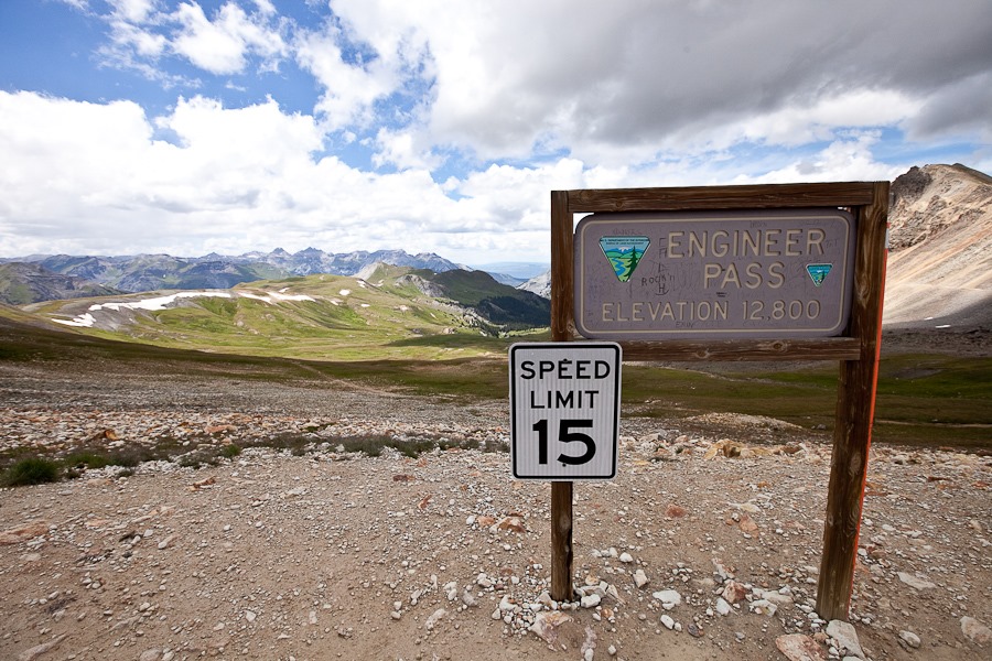
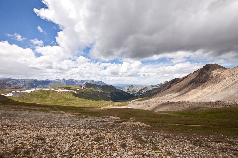
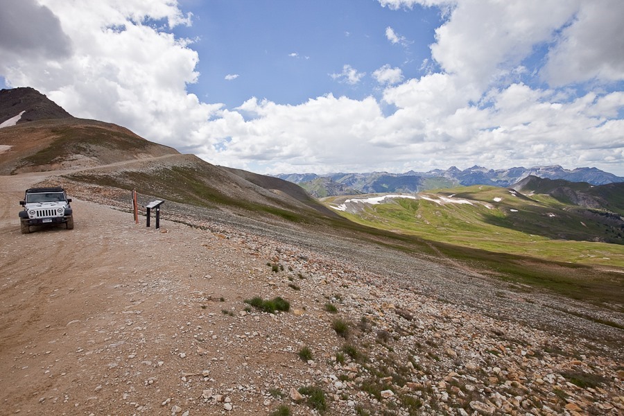
We continued on to Engineer Pass:

Summer2017_Day20_054

Summer2017_Day20_050

Summer2017_Day20_051

Summer2017_Day20_052

Summer2017_Day20_053

Summer2017_Day20_055

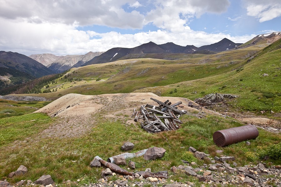
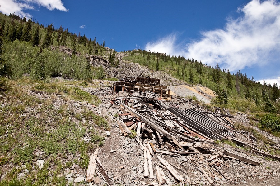
Driving down from Engineer Pass, we passed some old mining structures:

Summer2017_Day20_056

Summer2017_Day20_057

Summer2017_Day20_058

Summer2017_Day20_059

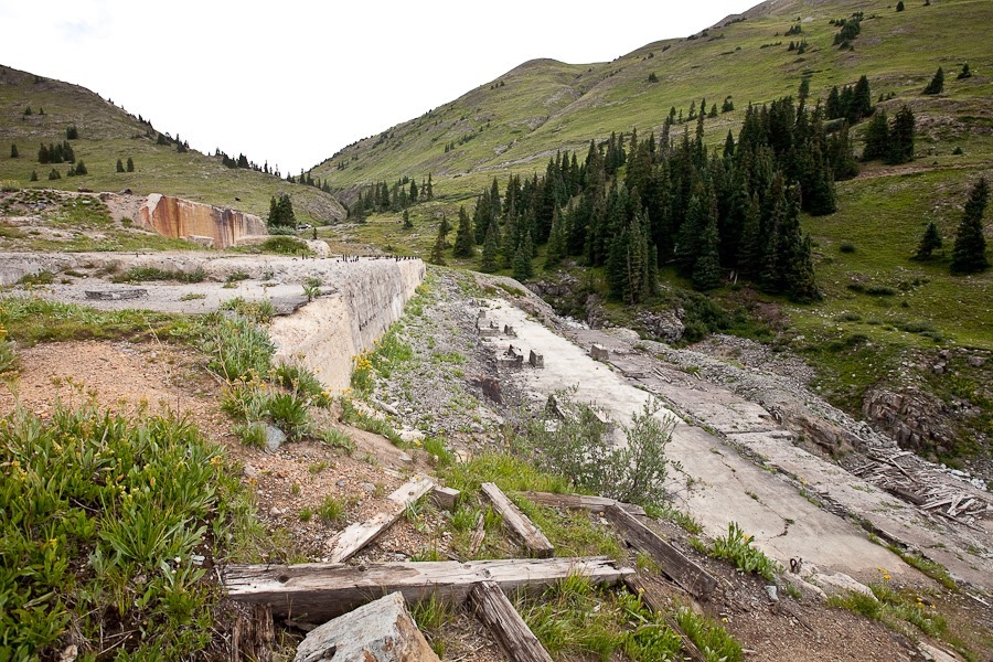
This mining site was recently destroyed by an avalanche:

Summer2017_Day20_060

Summer2017_Day20_061

Summer2017_Day20_062

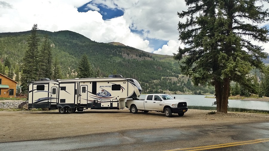
After returning the Jeep, we hitched back up:

Summer2017_Day20_063

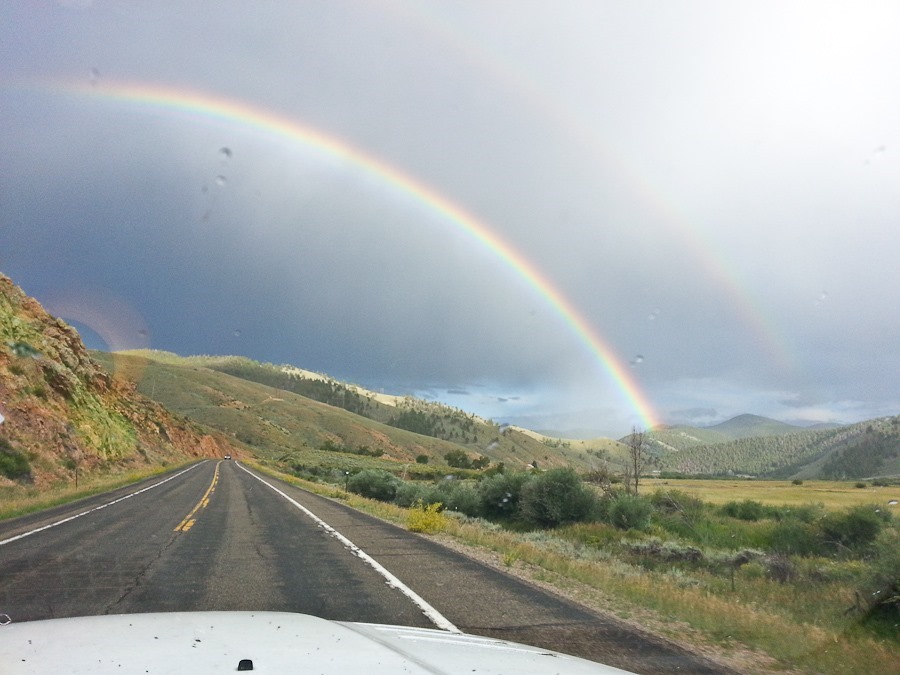
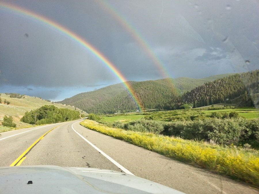
We drove north to Gunnison, then east, passing brilliant rainbows along the way:

Summer2017_Day20_064

Summer2017_Day20_065

Summer2017_Day20_066

We continued east out the Rockies to Pueblo, then father on to a dispersed camping location south of La Junta, Colorado.  See the alternating light blue line on the trip map for today’s drive.
Summer 2017, Day 19: Climbing Uncompahgre Peak

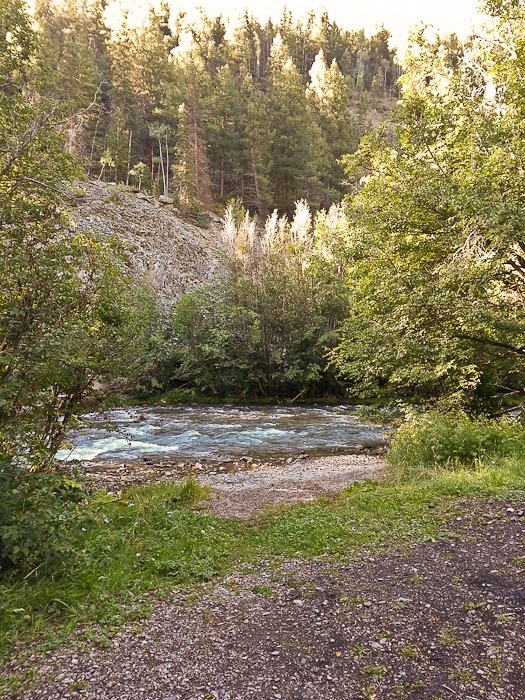
We had a nice Shabbos in our dispersed camping location above Lake City, Colorado.  We’re parked at 9,000 feet above sea level.  We had mild headaches as a result of acclimating to the reduced oxygen up here.
On Shabbos afternoon, and there was a knock at the door. I answered the door to a pair of older women who wanted to have a theological conversation. I declined their overture. “The only sure things in life are death and taxes” goes the famous saying, but it seems missionaries should be included as well.
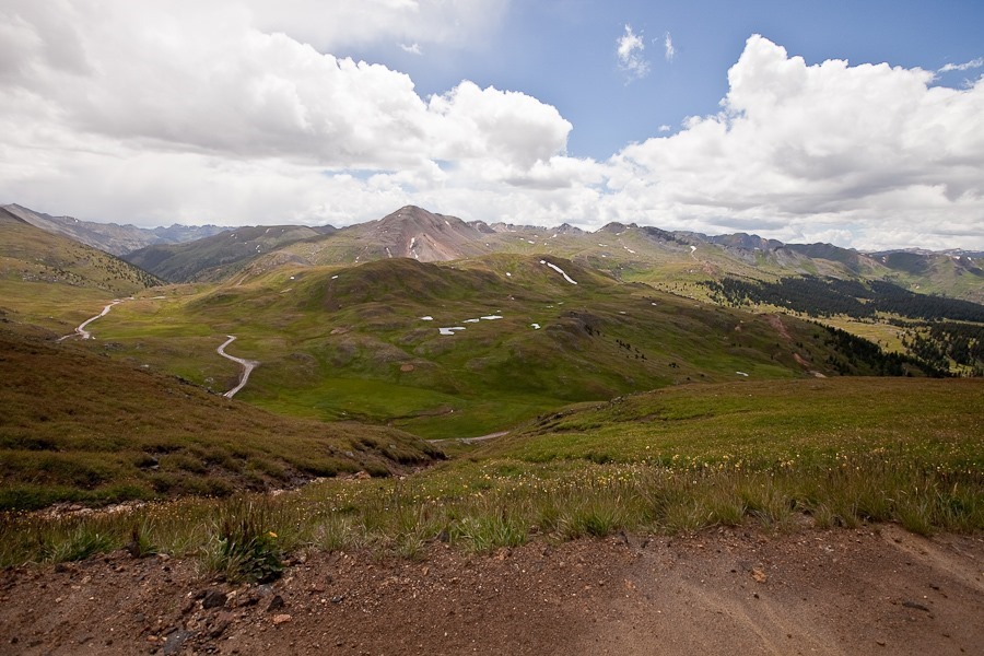
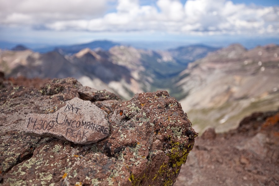
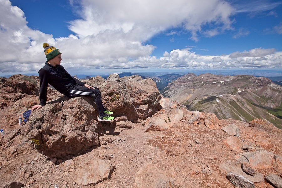
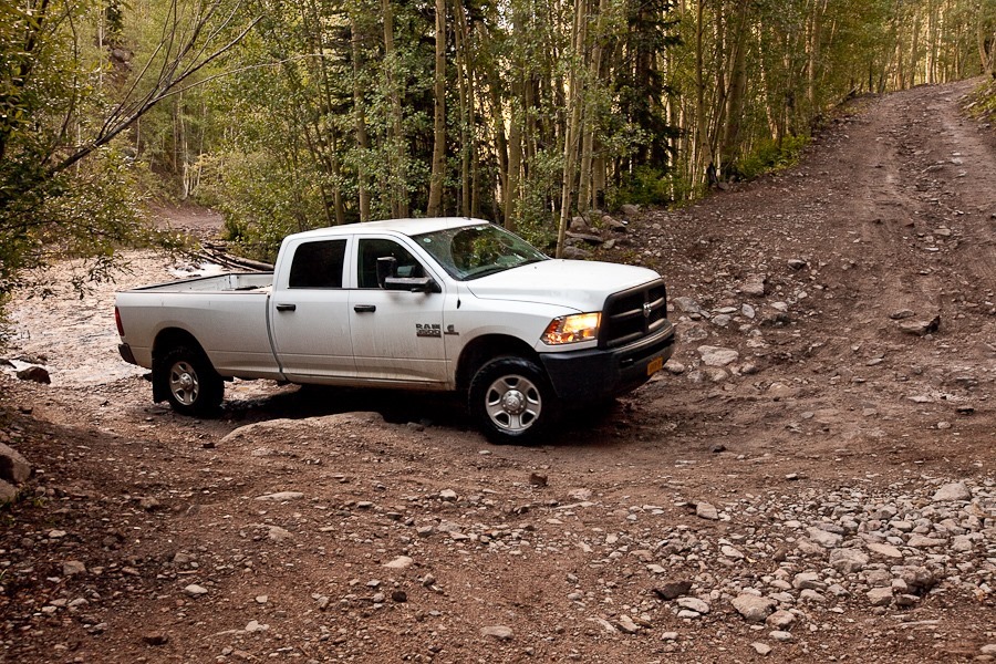
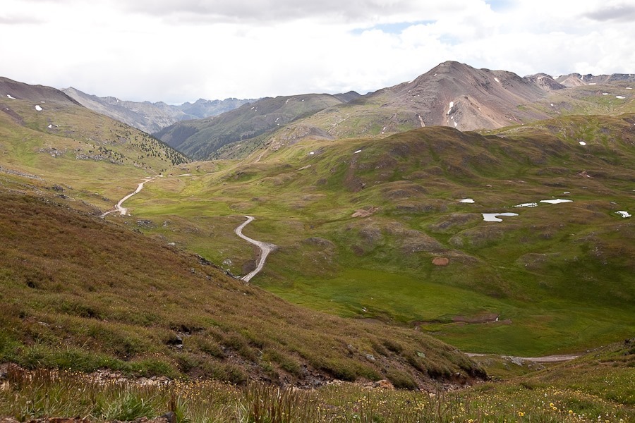
We left our RV parked at our campsite and drove our truck up to the trail to Uncompahgre Peak. The road included two stream crossings:

Summer2017_Day19_001

Most of the trail was narrow and rocky, so careful tire placement was critical to avoid scraping the underside of our truck. Even with a four wheel drive pickup truck, it took nearly an hour to cover the five miles:

Summer2017_Day19_002

We had great views as we approached the trailhead:

Summer2017_Day19_003

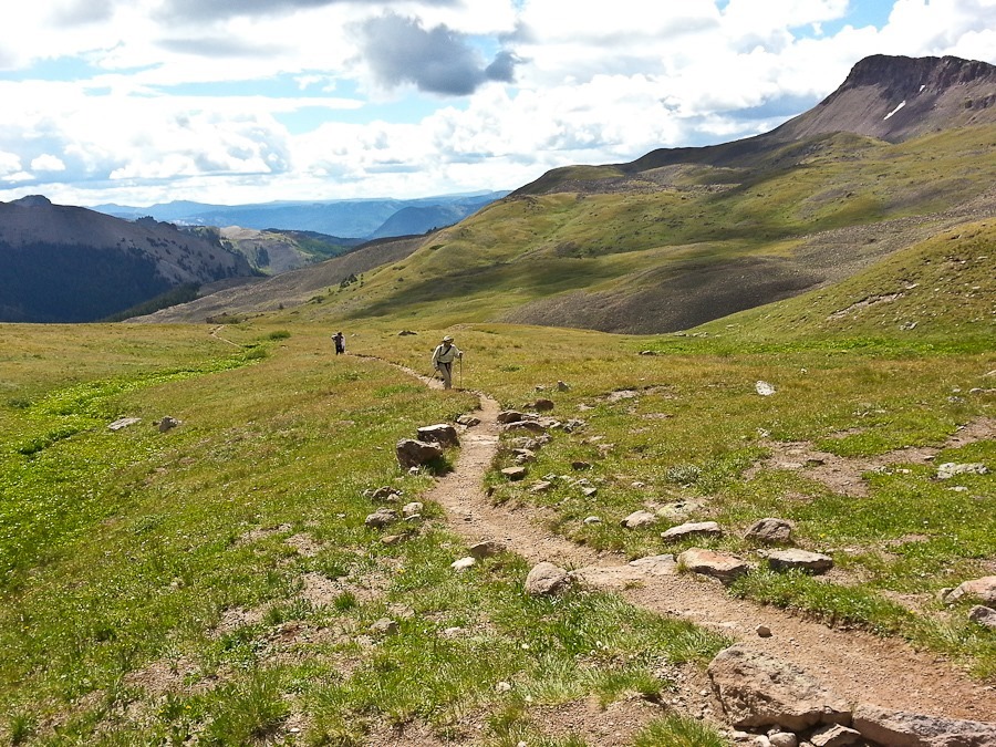
At last we reached the beginning of the trailhead at 11,400 feet of elevation:

Summer2017_Day19_004

Thanks to already being at 9,000 feet of elevation since Thursday, we only suffered minor altitude sickness as we ascended the trail:

Summer2017_Day19_005

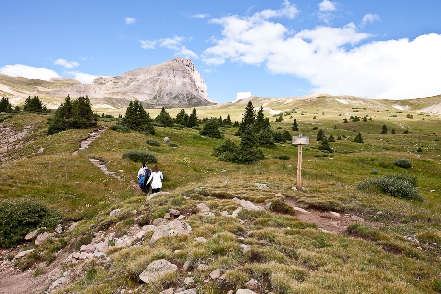
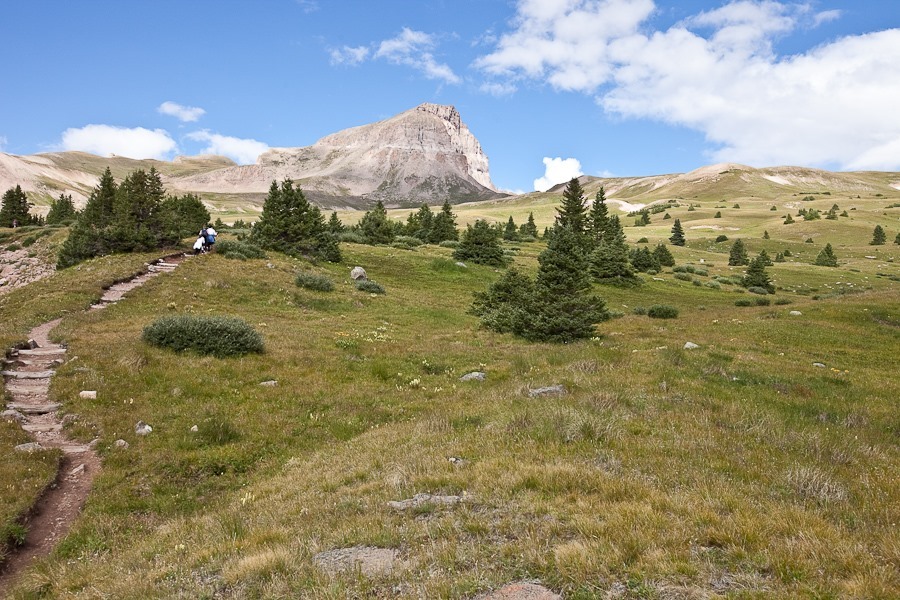
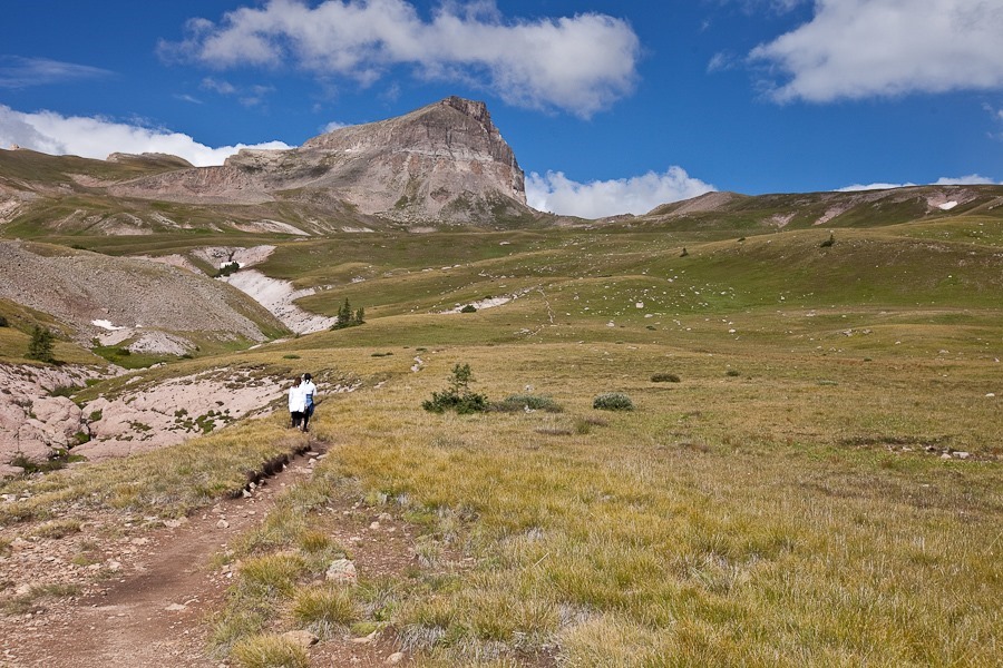
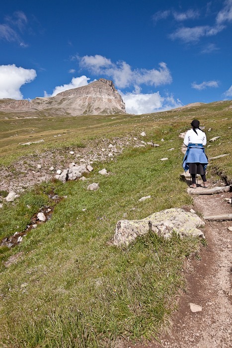
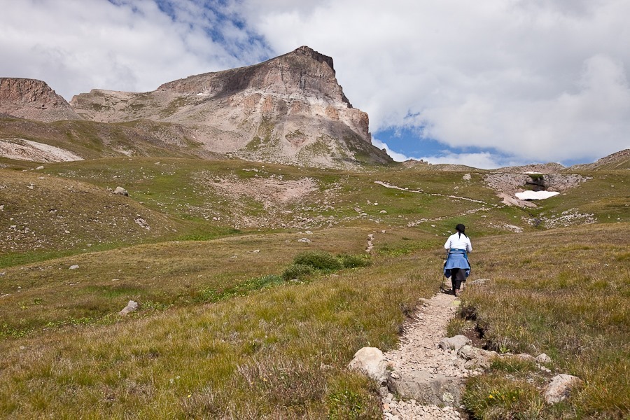
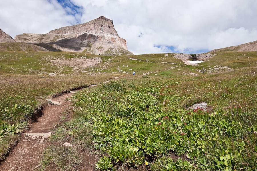
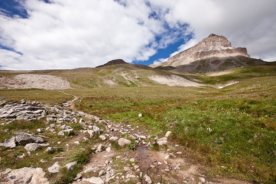
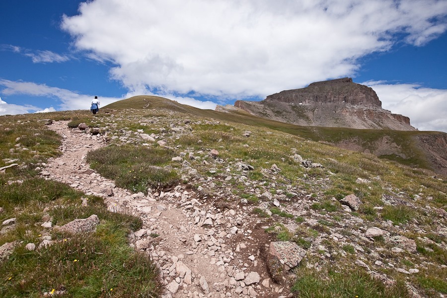
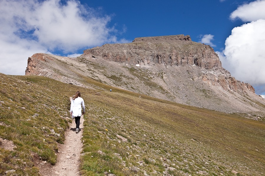
After a short while we could see Uncompahgre Peak in the distance.  With a summit elevation of 14,321 feet above sea level, Uncompahgre Peak is the highest mountain in the San Juans, the 9th highest mountain in the Continental US, and less than 200 feet lower than the tallest mountain in the Continental US, California’s Mount Whitney at 14,505 feet:

Summer2017_Day19_006

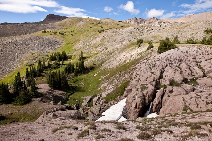
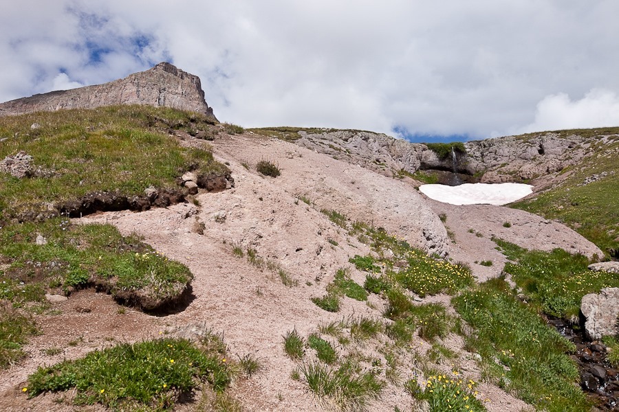
The trail almost immediately climbed above the “tree line”, the altitude above which trees cannot grow. We passed trickling streams cascading over stone ledges, their frigid waters supplied by melting fields of snow:

Summer2017_Day19_007

A bewildering variety of wildflowers swayed in the wind, enticing butterflies with their scent and color in a desperate effort to be pollinated before September snows set in:

Summer2017_Day19_008

Summer2017_Day19_009

Summer2017_Day19_010

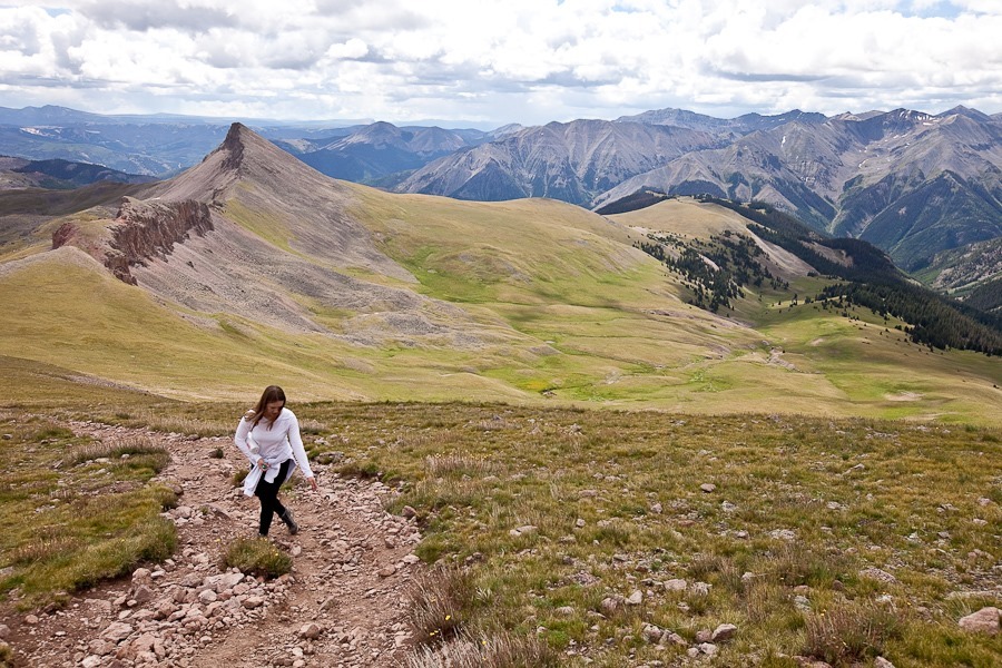
As we continued to climb, even a relatively slow hiking pace brought out rapid breathing since the air at this altitude contains only 60% of the oxygen found at sea level:

Summer2017_Day19_011

Summer2017_Day19_012

Summer2017_Day19_013

Summer2017_Day19_014

Summer2017_Day19_015

Up and up we climbed. As we approached the peak, the grade of the trail increased, then increased again:

Summer2017_Day19_016

Summer2017_Day19_017

Summer2017_Day19_018

Summer2017_Day19_019

Summer2017_Day19_020

Summer2017_Day19_021

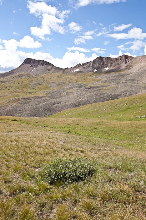
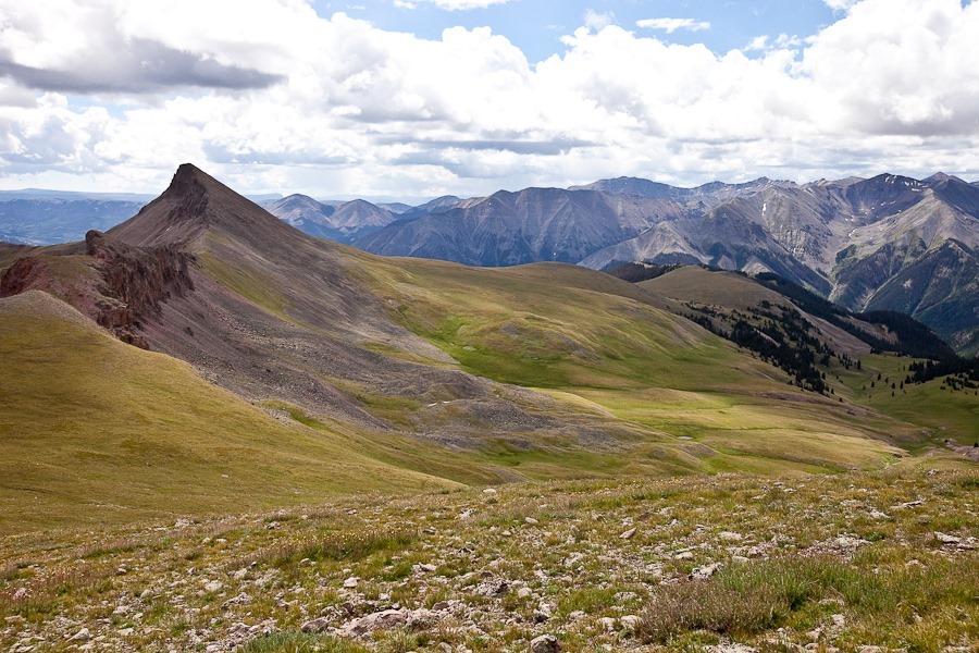
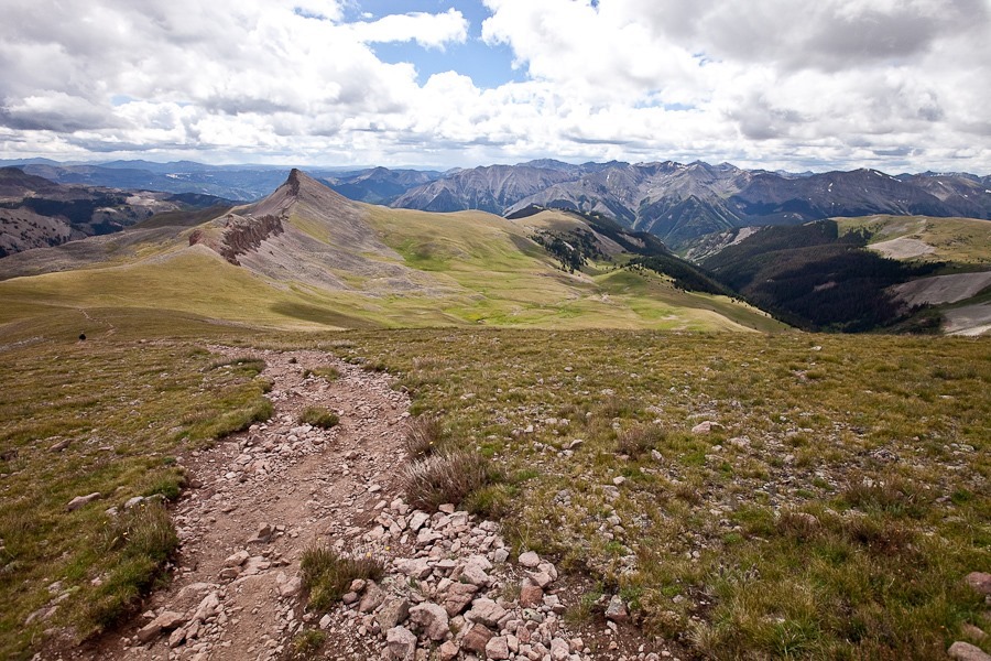
Looking back down the trail, we could see this peak, so insignificant around here that it doesn’t even have a name:

Summer2017_Day19_022

Summer2017_Day19_023

Summer2017_Day19_024

Summer2017_Day19_025

Summer2017_Day19_027

Summer2017_Day19_028

Summer2017_Day19_029

Summer2017_Day19_030

Summer2017_Day19_032

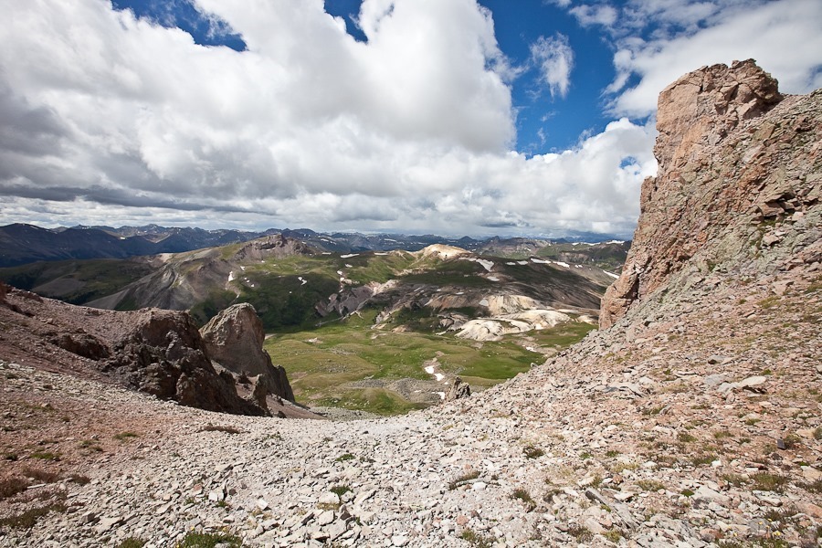
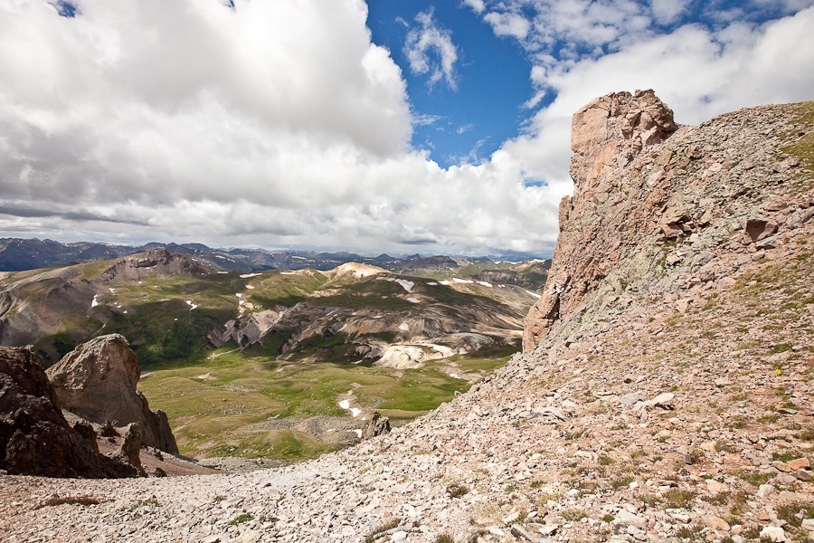
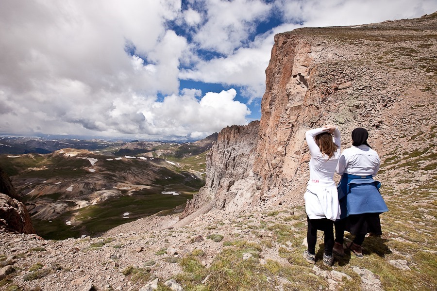
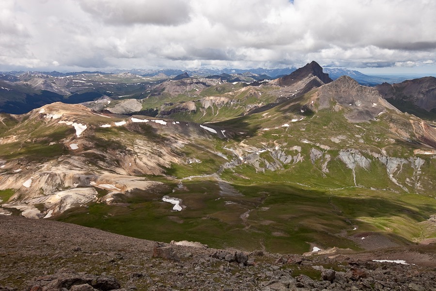
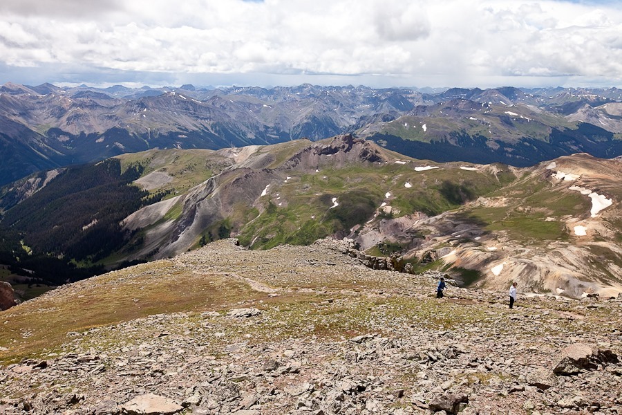
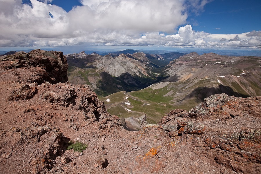
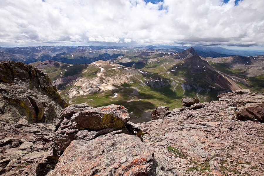
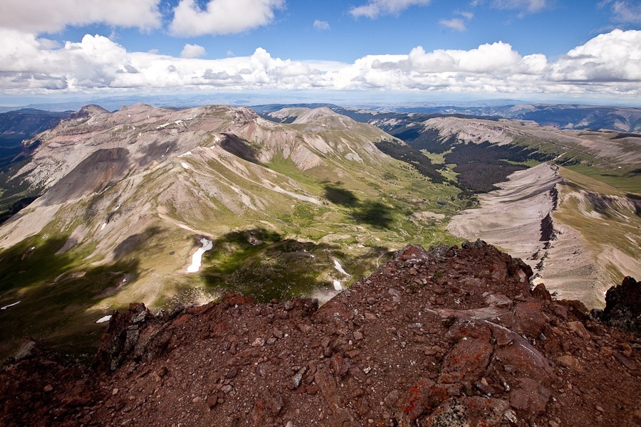
We encountered a rock wall that, while not vertical, was steep enough that we were holding on with our hands as well as our feet. The temperature was steadily dropping as we climbed, and we donned gloves, wool hats, and jackets to keep the biting alpine winds at bay. By this time, we were higher than any of the surrounding terrain, and the views were breathtaking. Snow-kissed mountain peaks (even in August!) extended as far as the eye could see. I imagined buckskin-clad explorers like Lewis and Clark, trying to find their way to the Pacific Ocean, encountering this vast expanse of rugged peaks in their path:

Summer2017_Day19_034

Summer2017_Day19_035

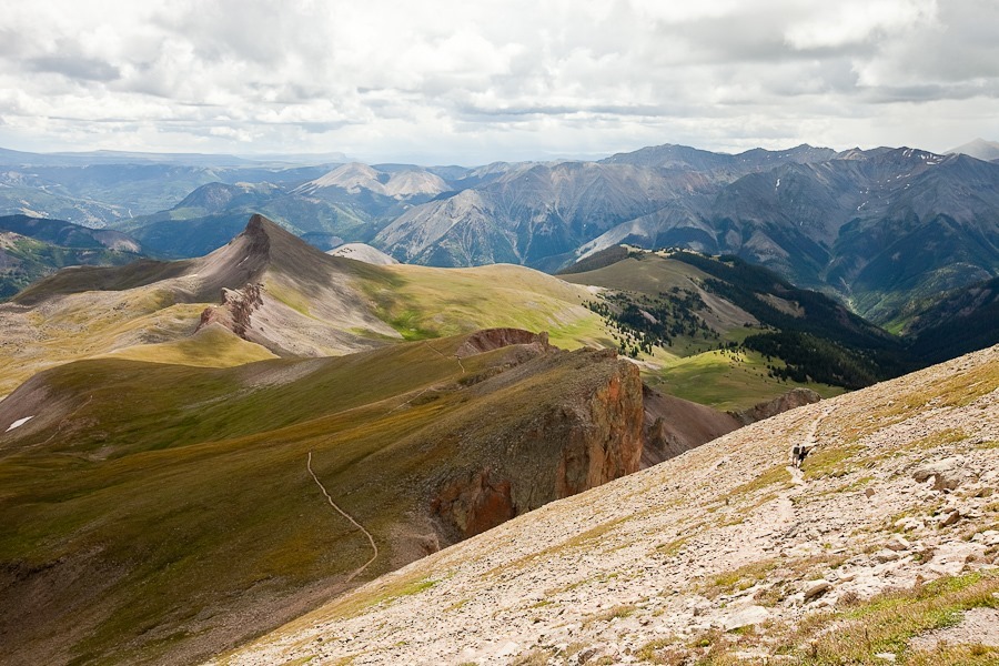
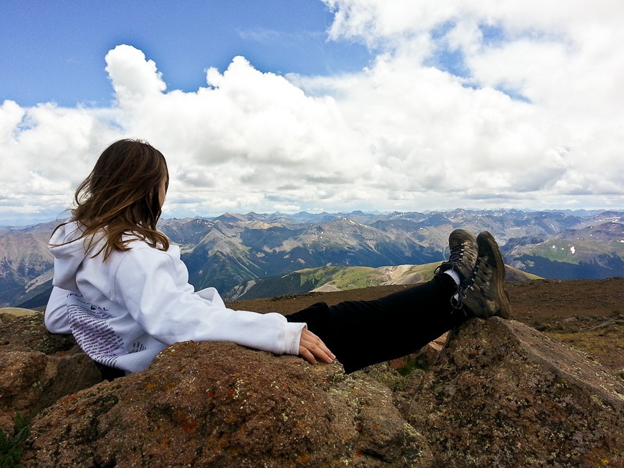
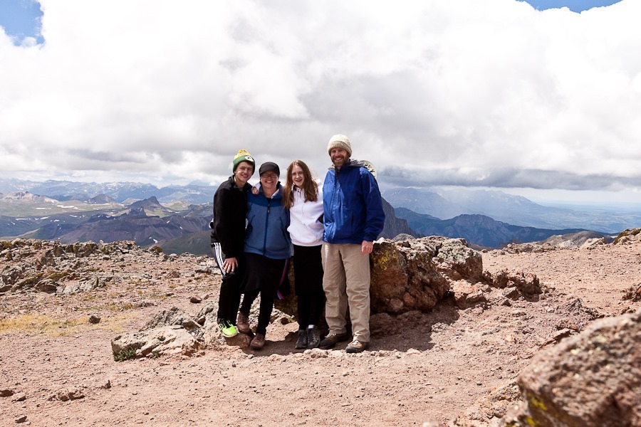
At last we reached the summit. Despite our recent high-altitude acclimation, at over 14,300 feet of elevation, we were all suffering from headaches and nausea. But the views, what views! From the summit, a 360-degree panorama of lesser peaks and mountains was visible, layer upon layer, to the horizon:

Summer2017_Day19_036

Summer2017_Day19_037

Summer2017_Day19_038

Summer2017_Day19_039

Summer2017_Day19_041

Summer2017_Day19_043

Summer2017_Day19_040

Summer2017_Day19_044

Summer2017_Day19_045

Thrilled with our accomplishment, we ate our lunch and began our descent:

Summer2017_Day19_046

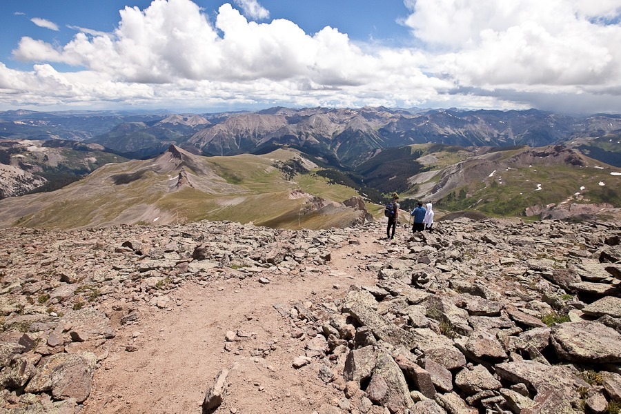
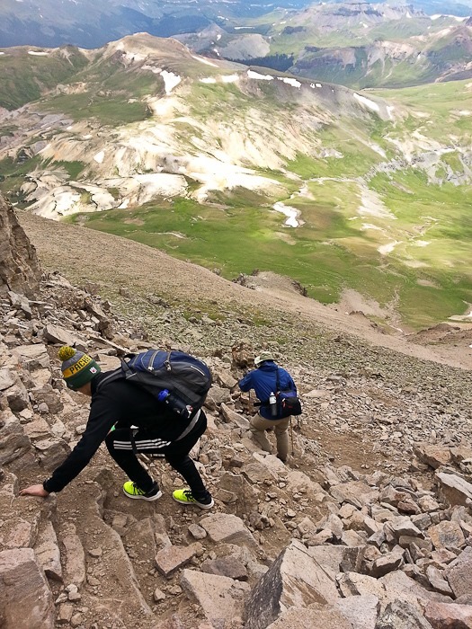
Back down through the steep part of the trail.  One missed step and it’s a long way down:

Summer2017_Day19_047

Summer2017_Day19_048

Summer2017_Day19_049

Summer2017_Day19_050

Six hours after we had began our hike, we were back at the truck.

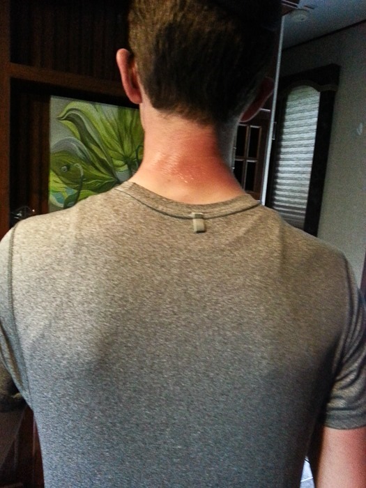
Unfortunately, my advice to wear brimmed hats was not heeded.  M has quite the burn on the back of his neck:

Summer2017_Day19_051

We’ve climbed our first Fourteener!  We will sleep well tonight, I think.

Summer 2017, Day 17: Exploring Lake City, CO

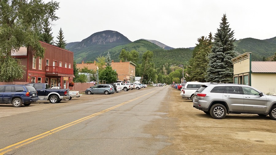
We don’t have cell phone connectivity up at our dispersed camping location, so we came down into town to make our travel plans for the next few days.  It’s a cute little town:

Summer2017_Day17_002

Colorado yard ornaments:

Summer2017_Day17_001


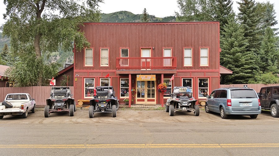
Most of the roads up here are not paved, so people use ATVs and UTVs to get around:

Summer2017_Day17_003

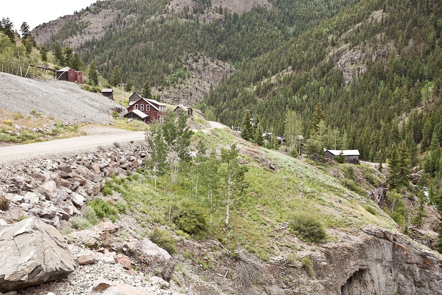
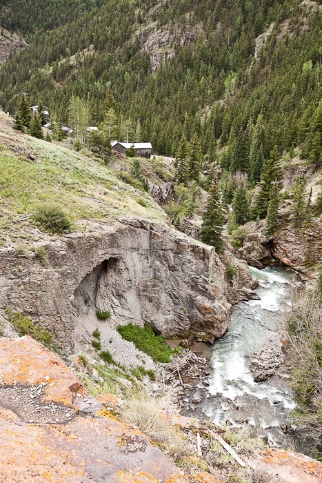
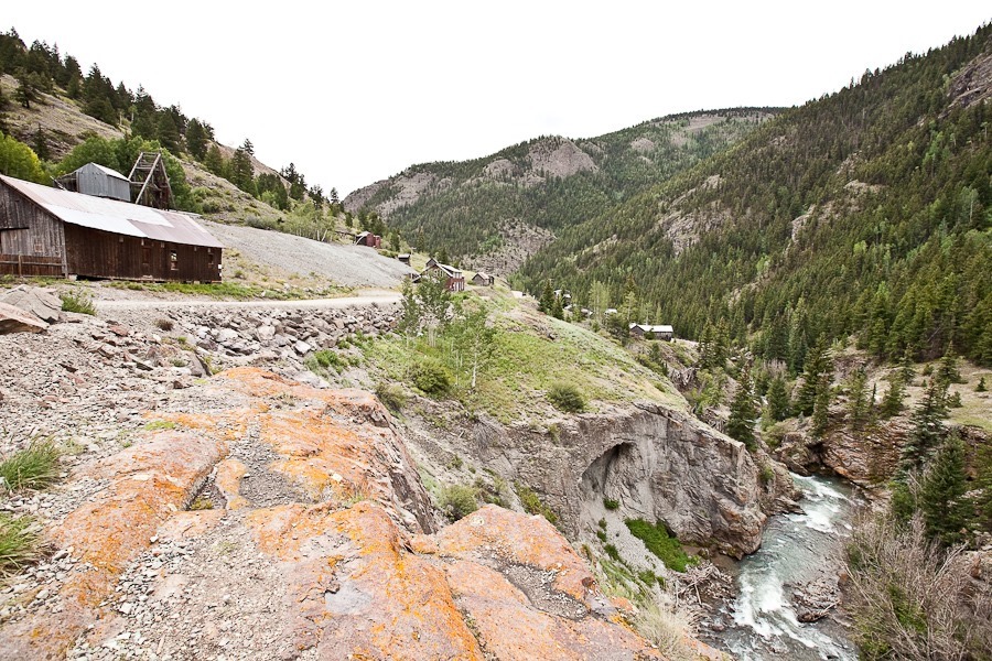
We drove back up to our campsite, taking a few photographs of the Ute and Ulay mine complex.  Built in the late 1800s, the complex was one of the most productive silver and lead mines in Colorado, recovering minerals valued at over $280 million in today’s dollars.  The mines closed in the early 1900s:

Summer2017_Day17_004

Summer2017_Day17_005

Summer2017_Day17_006

Summer2017_Day17_007

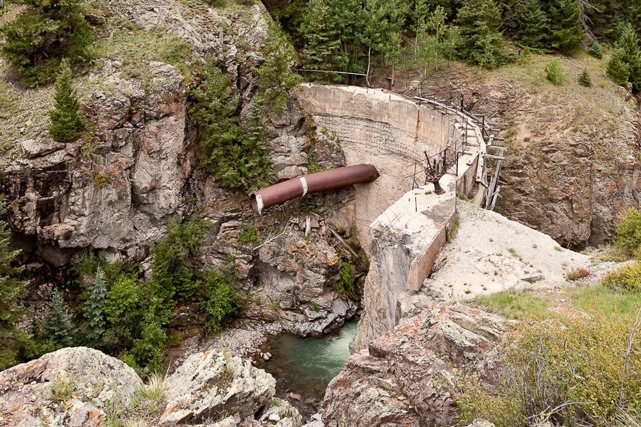
The old dam:

Summer2017_Day17_008

Good Shabbos from near Lake City, Colorado!

Summer 2017, Day 16: Shaare Shamayim to Lake City, CO

We awoke to a beautiful day here at Shaare Shamaim:

Summer2017_Day16_004

B enjoyed the dog:

Summer2017_Day16_001

I replaced the cowling for our WiFi antenna:

Summer2017_Day16_002

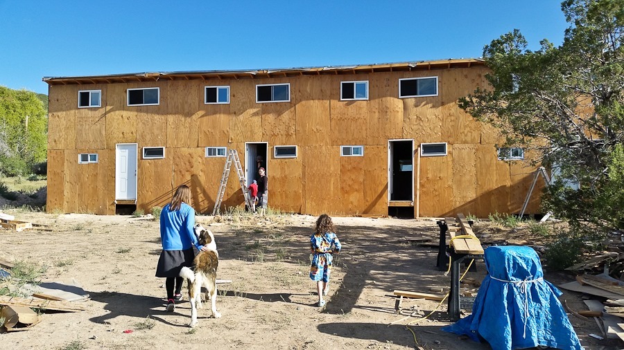
We checked out the guest cabins in progress:

Summer2017_Day16_003

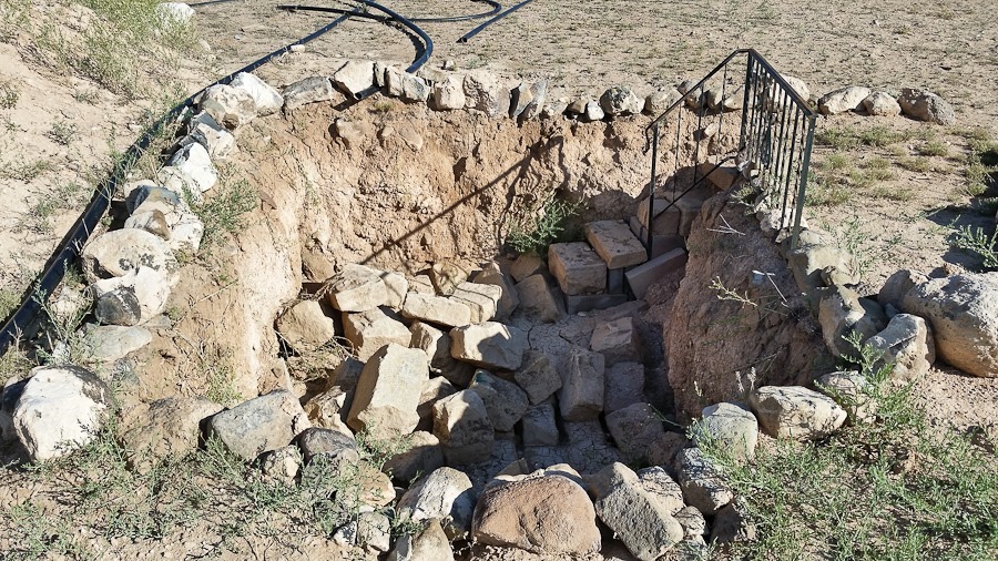
The mikveh is off to a good start:

Summer2017_Day16_005

The main house, built by hand:

Summer2017_Day16_006

We said goodbye to our hosts and drove east and south, the road clinging to the slope overlooking the Black Canyon of the Gunnison:

Summer2017_Day16_007
Summer2017_Day16_008

Dams along the Gunnison River have filled the canyon with reservoirs:

Summer2017_Day16_009

Summer2017_Day16_010

Summer2017_Day16_011

The Blue Mesa Dam:

Summer2017_Day16_012

Summer2017_Day16_013

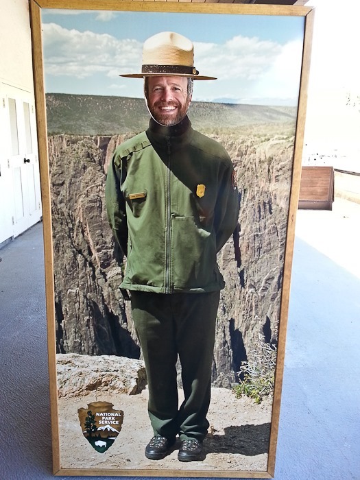
We stopped at the visitor center for Curecanti National Recreation Area.  We had previously received the Junior Ranger badge when we visited Black Canyon of the Gunnison National Park on Day 649, and this visitor center is really just a contact station for issuing boating permits, so we just stayed long enough to channel our inner NPS ranger:

Summer2017_Day16_014

Summer2017_Day16_015

We drove south, steadily climbing until we reached Lake City, Colorado, a town of 400 at 8,600 feet above sea level.  From there, we drove west on what soon became a narrow gravel road with steep drop-offs.  We unhitched the RV in a pullout that was barely large enough, then drove up to find a pullout large enough to accommodate us.  M stayed behind to hold the spot while we recovered the RV and brought it back up.

It wasn’t the nicest dispersed camping site we’ve found, but it wasn’t bad:

Summer2017_Day16_018

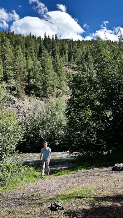
M checked out the river running through our backyard:

Summer2017_Day16_016

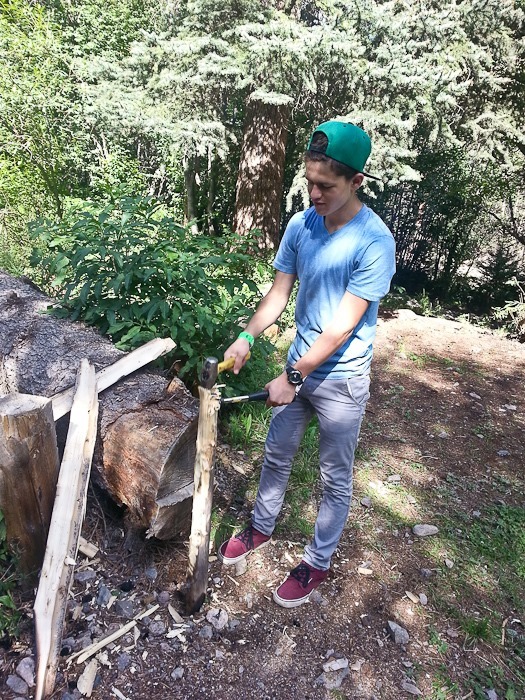
Getting ready for a campfire:

Summer2017_Day16_017

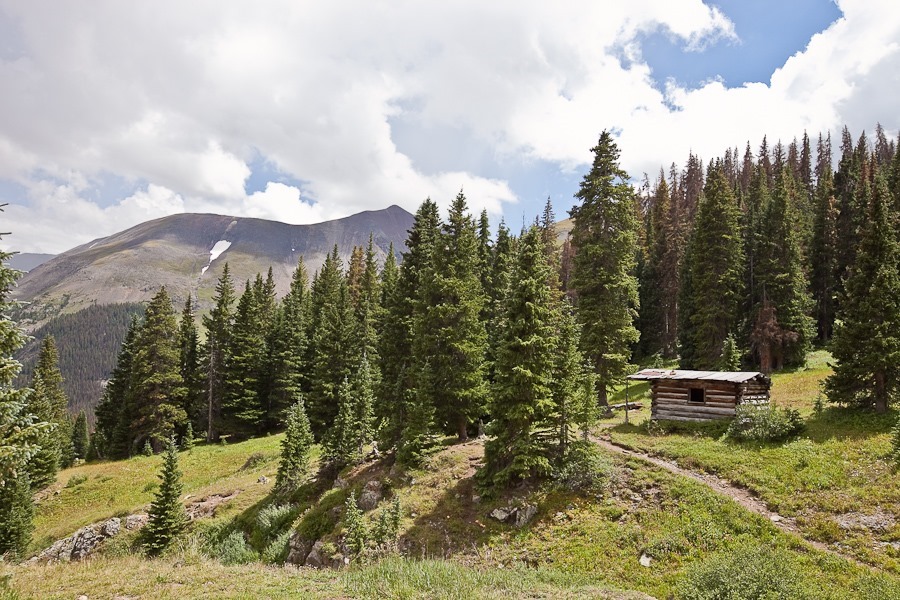
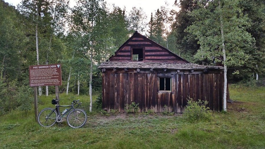
I put the off-road tires on my cyclocross bike and rode farther along the gravel road.  My first stop was a cabin built in the 1870s by local prospector Pike Snowden:

Summer2017_Day16_019

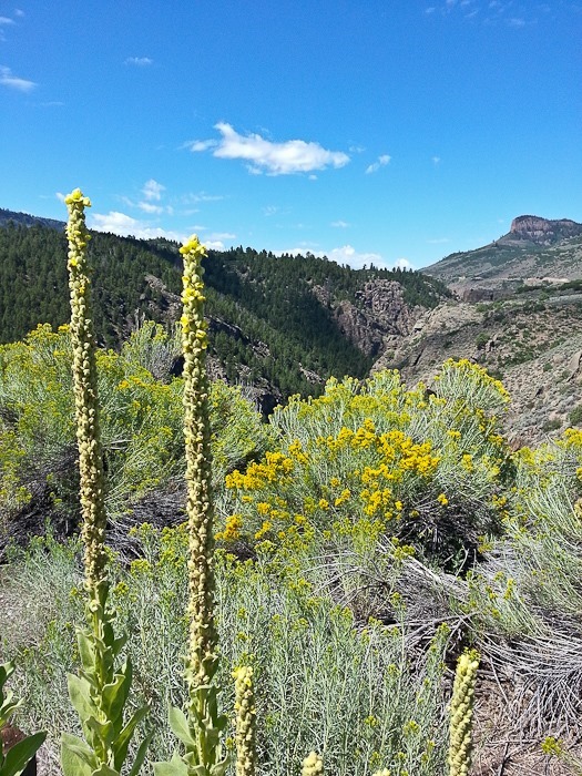
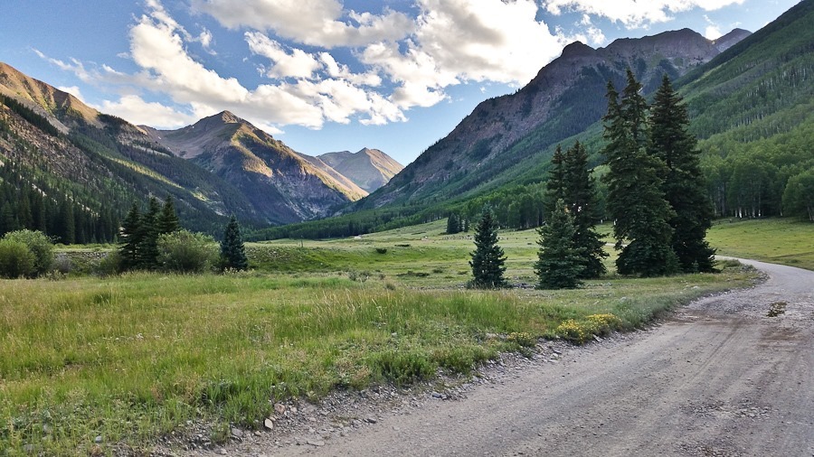
Continuing on, the canyon opened up, providing spectacular views:

Summer2017_Day16_020

Summer2017_Day16_021

Summer2017_Day16_022

Summer2017_Day16_023

Summer2017_Day16_024

See the alternating light blue line on the trip map for today’s drive.