We left Las Vegas after sunset, so we decided to stop for the night at the Walmart next to Nellis AFB, on the Northeastern edge of the Las Vegas metro area. We hope to visit Zion National Park tomorrow. See the trip map for details.
It’s been a little over a week since my last bike ride, so I decided to ride from my parents’ house to Red Rock Canyon, around the scenic loop, and back. On the way there I rode for a few miles with Vince, who works at the Bellagio in the evenings. Sounds like a great schedule for a cyclist! His Sworks Tarmac was making me a little jealous, I admit.
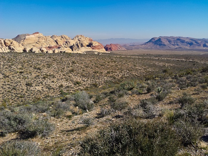
The scenic loop through Red Rock was beautiful:
On the way back, the sun highlighted the mountains when I looked back towards Red Rock:
I passed the Blue Diamond gypsum plant:
As well as a group of wild burros at roadside:
It’s a good thing that it was downhill most of the way home, because I was suffering by mile 60. In the end, it was a bit more than 70 miles with a good bit of climbing:
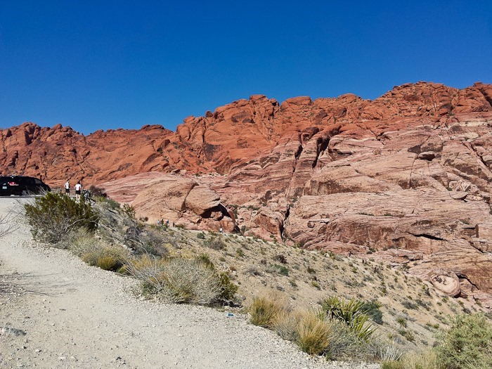
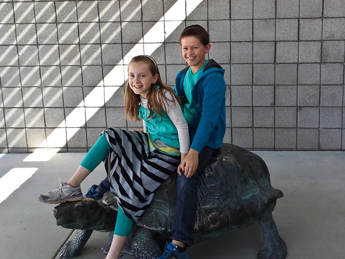
This morning we drove up to Red Rock Canyon with my parents. We spent a bit of time in the impressive visitor center, at which the turtle sculpture seemed to be the highlight:
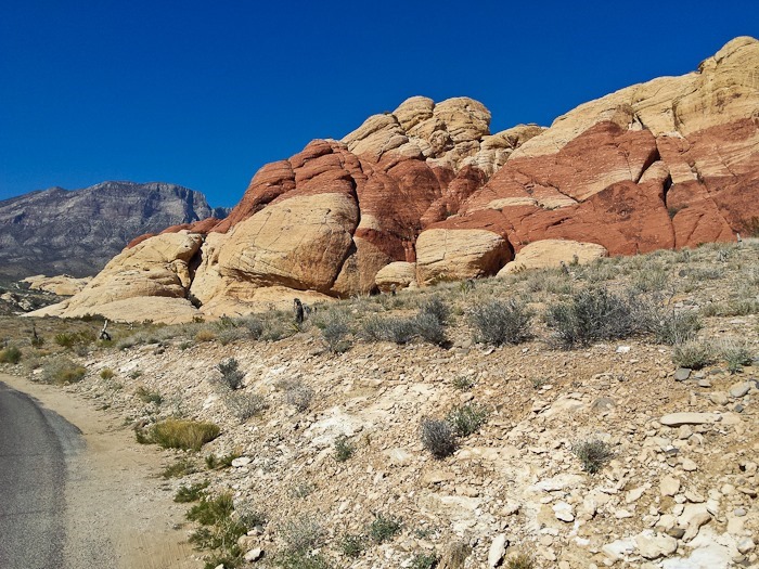
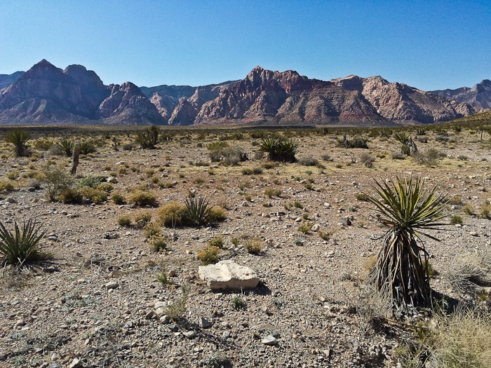
We then headed out on a loop hike North of the visitor center:
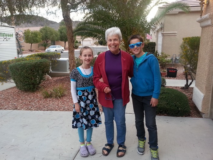
M is almost as tall as Bubbie:
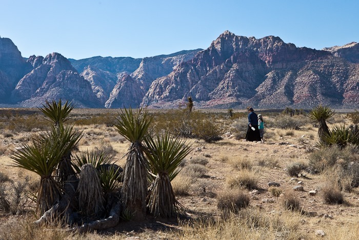
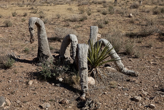
Dead Yucca:
We’ve been experiencing significantly reduced capacity from the RV batteries, so I took them to Walmart for exchange. The exchange program lasts for two years from date of purchase for MAXX batteries like ours. We chose Walmart as our battery vendor because of easy access to store locations and ease of exchange, I’m glad it’s working out.
On this, our 200th day on the road, we decided to track down another giant concrete arrow in the desert. We said goodbye to our hilltop perch overlooking Afton Canyon:
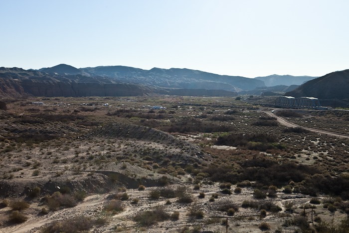
Here’s the view of the campground below. It turned out that it was a good move to move up here Friday afternoon. On Shabbos, I walked down to the campground and met several members of Boy Scout Troup 486 from Glendale, CA. Our location was definitely more laid back.
B photographed some of the jewelry that she made for her American Girl doll:
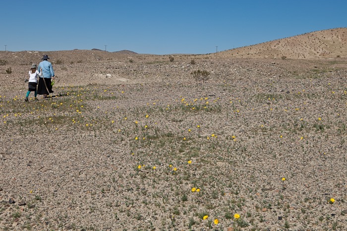
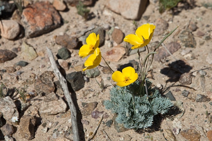
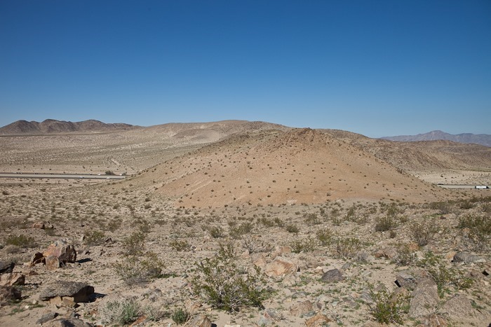
We packed up and drove partway out to the highway, then pulled off the road and started hiking. The arrow was about 1.2 miles to the North of us. It was nice to see wildflowers as we walked:
Wild asparagus?
From the saddle we climbed over, we could see the hill with the arrow ahead of us:
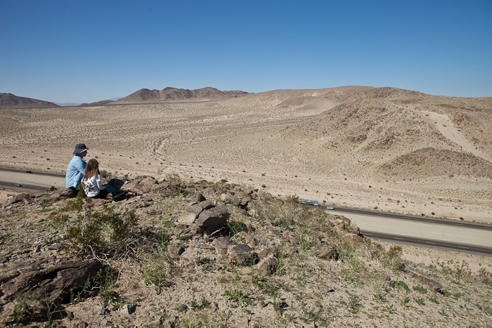
Trish and B enjoy the view:
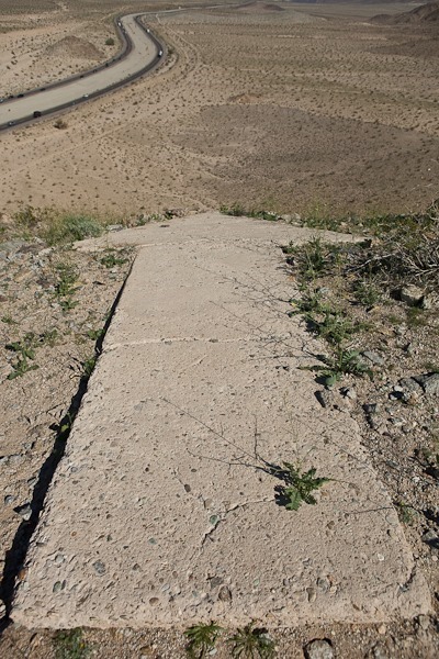
The hilltop is very small, so the tip of the arrow is right at the edge of the precipice:
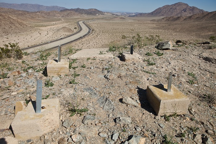
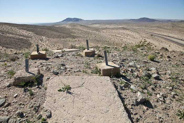
M sits on the tower supports. Like our last arrow, this arrow’s light tower was scrapped for the war effort in the ‘40s.
Looking to the rear, this pad may have once housed the control building:
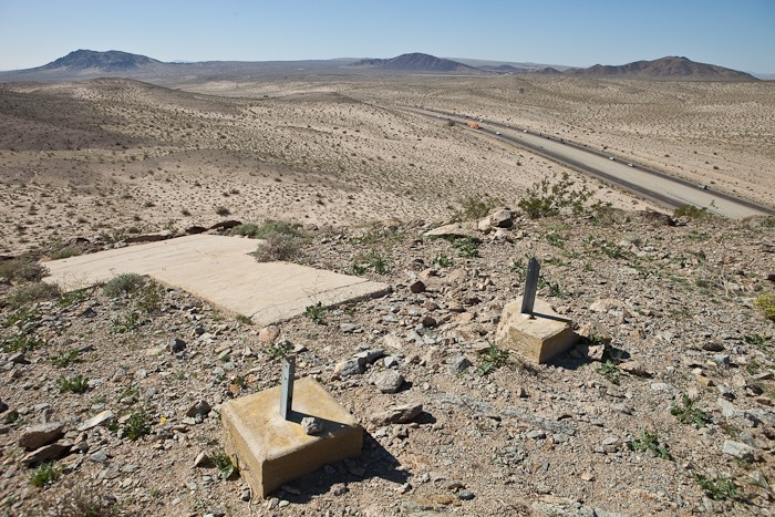
Panorama looking down. The arrow is on the left, the light tower supports are in the center, and the control shack pad is to the right:
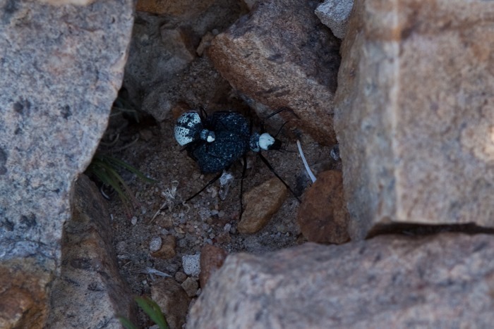
I noticed this pair of beetles running around. The one on top was hanging on for dear life:
After returning to the car, we drove East towards Las Vegas. On the way, we passed the Ivanpah solar plant. Thousands of mirrors reflect and focus the sun towards the tower, which glows from the heat. This heat converts water into steam, which is used to drive turbines:
Today we drove to Las Vegas, and we will probably be here until Wednesday. See the trip map for details.
Going forward, we will refer to our kids by their first initials. Our daughter is “B”, and our son in “M”.
B started working on her own blog this week, called On the Road Again. I’ve added a link to it in the Menu. It’s a great way for her to share her photography, as well as practice her writing and photo editing skills. Please stop by and leave an encouraging comment on her first post!















 Facebook
 Instagram
 Email
Email