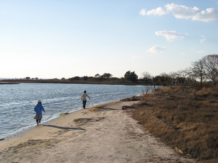
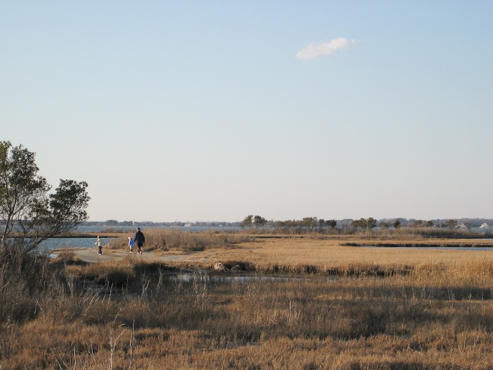
Yesterday afternoon, the four of us tried to ride from the campsite to the visitor center, which is on the mainland. It was a bit much for B, so we turned back. Today, Trish dropped M and I off at the visitor center and we rode back together:
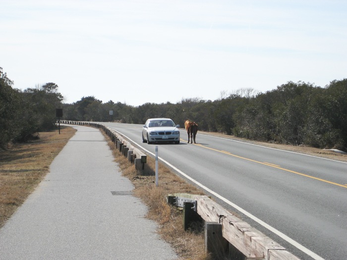
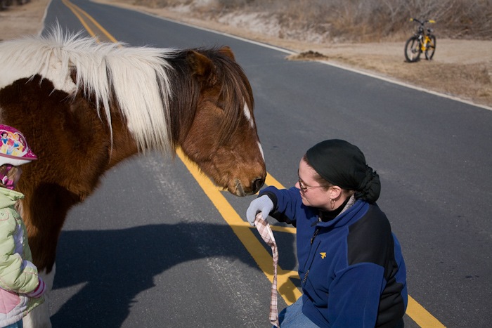
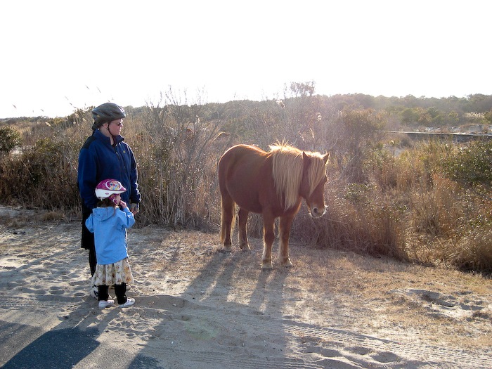
On the way, we saw a horse attempting to carjack a tourist. Thankfully, the horse was placated with a snack:
Arts and crafts time:
By monday, we truly had our part of the island to ourselves:
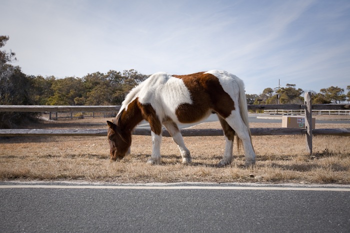
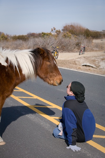
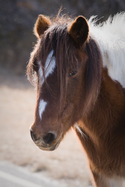
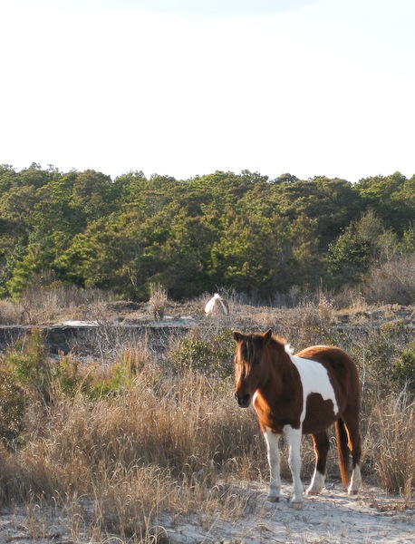
We went for a ride and ran into another horse:
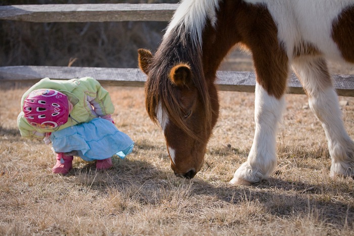
B investigates:
“Son, it’s time you learn how to build a sand castle”:
Eager to test out our new RV, we decided to head down to Assateague Island National Seashore for an extended weekend. We left home on Saturday night around 10PM, and arrived at Assateague Island at 2:45AM. It worked out well, since the kids slept for most of the trip.
Breakfast in the RV:
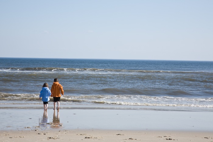
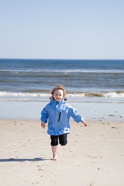
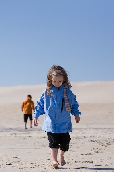
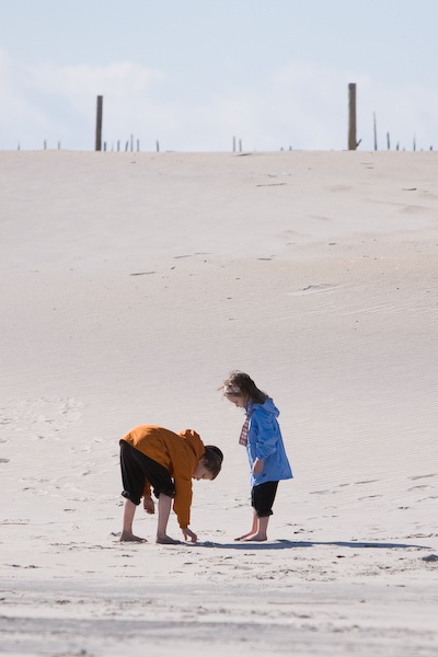
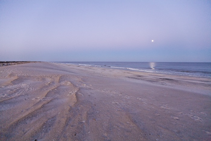
The kids had never been to the ocean before, and I had never been to the Atlantic, so it was a real treat to go take a look after breakfast:
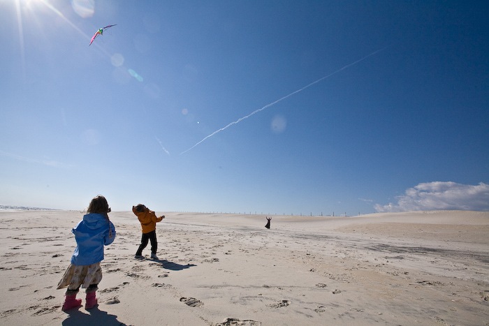
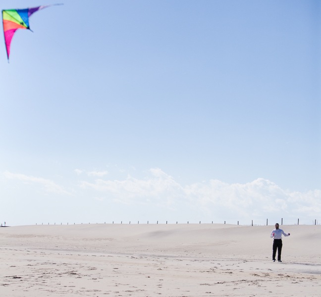
We still have our kites from our honeymoon, so Trish gave it a whirl:
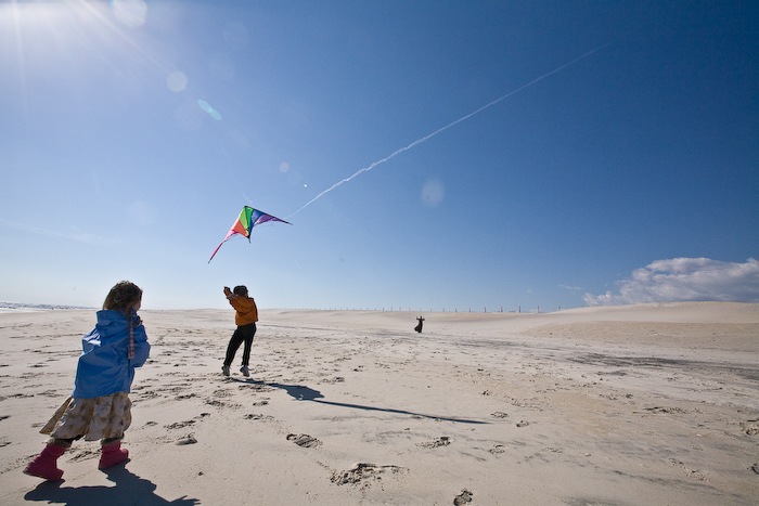
M helped launch the kite:
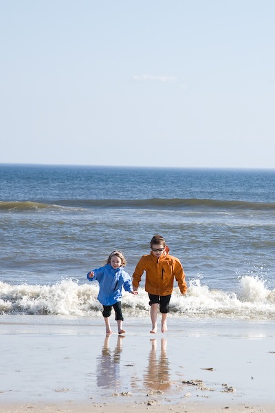
More senseless acts of frolicking:
Gulls and Grebes:
My turn:
After lunch, we hopped on our bikes and rode out to the southern end of the road:
Sunday morning, we broke down the RV and headed for home. Our original plan was to breeze through Lava Beds National Monument (just to see the visitor center and get the stamp for our National Parks Passport), and then be in Crater Lake National Park by Sunday night. We would then spend Monday at Crater Lake, stay there Monday night, and drive home Tuesday morning.
As things usually happen, however, things didn’t go according to plan. From about 100 miles out of Lava Beds, we called and found out the visitor center would be closing early since it was Sunday. As we got close to Lava Beds, we decided that we would change our plans and stay there Sunday night, see the visitor center Monday morning, and head out to Crater Lake.
As we pulled of the highway to get to Lava Beds, I realized we were running out of gas. Fortunately, there was some town whose name I’ve forgotten right off the road. We turned down the road to get there. What we found was a Bar/Restaurant/Grocery/Gas Station being run by a very odd family, and a strange RV/cabin park next door. The entire experience was very “Mad Max”-esque, but Trish didn’t feel comfortable enough staying for me to get out the video camera and capture this peculiar bit of Americana.
We got to Lava Beds about an hour before Sunset. The climate and terrain felt very similar to that of Eastern Oregon, with Sage and Juniper being the dominant plants. I really liked being there, as it reminded me very much of the time I spent in Eastern Oregon at OMSI’s Hancock Field Station.
Anyway, we watched the sunset and had a delicious grilled cheese sandwich and tomato soup dinner. Did I mention that we love having an RV?
The next morning, we went to the visitor center. Apparently, the famous Modoc Indian Wars occurred here. We found out that Lava Beds is most famous for its lava tubes and, unlike lava tubes in Oregon’s Bend area and in Southern Washington, the tubes are extremely complex, with multiple levels, passages, and rooms. There are dozens of tubes, with the largest ones having thousands of feet of navigable passage.
Needless to say, I was very excited. We bought hardhats and maps and checked out the free flashlights. Normally beginners would go to Mushpot Cave, which has exhibits and lights in it, but it was closed for cleaning (the lights make moss grow on the walls of the cave), so we went to Valentine cave, a relatively simple cave with 1,000 feet of passage. We explored every foot of passage, and as you can see in the pictures, it got pretty tight in places.
Having done this relatively easy cave, we went of to Labyrinth cave. For some reason, this single cave is listed in three sections, each with their own name: Labyrinth, Lava Brook, and ThunderBolt. Labyrinth has 1,239 feet of passage, Lava Brook has 859, and Thunderbolt has 2,561.
This cave was a lot more challenging. Many passages had a maximum clearance of 2 feet, which makes for some pretty tight crawling. It was a total blast exploring the caves – it was just complex enough that there was a chance of getting lost if we didn’t pay attention to where we were going.
In the Lava Brook portion, the ceiling had a really cool texture to it:
Finishing Labyrinth and Lava Brook took quite some time, since we had to go through some places several times to cover all the passages. We in fact missed a passage on the map that was so small we didn’t see it. When we tried to do the Thunderbolt portion, we were stopped by a ranger, who said it was a Big Eared Bat breeding area, and that we would disturb them by going in there.
Having been prevented from doing Thunderbolt, we came back out again, and walked back to the Truck. We had had our fill our caving, but by the time we finished lunch, we wanted to go again, so we went back and did Blue Grotto cave, with its 1,541 feet of passage.
By the time we got back from the Blue Grotto, and got the RV torn down, it was about 5pm. We drove to the other part of Lava Beds, which is a small, separate enclave of the park which has in it a wall carved with petroglyphs. The mountain face into which they were carved used to be an island, and the ancient Modoc Indians would come out in boats and carve their symbols and glyphs into the canoe-level face of the mountain. The real tragedy was to see all of the graffiti and destruction of the original rock art. The CCC put up a huge fence to protect the cliff in the ’30s, but it was largely too late.
After leaving Lava Beds (and promising ourselves we would come back again to finish off the other caves), we drove the two hours or so to Crater Lake and stayed there Monday night.
On Tuesday, we drove around the west side of Crater Lake. We stopped at the visitor center, which was pretty mediocre, and then continued on. Our plan was to ride the motorboat out to Wizard Island, in the center of the lake, but when we got to the ticket booth, we discovered that the rides were sold out for the rest of the day.
Not to be discouraged, we decided to walk from the road (which is on the rim of the caldera), down the trail to the lake itself. The hike down was very steep, but it was rewarding to see the deep blue waters up close, at this, the deepest lake in the Americas.
As we all know, what goes up must go down, and vice versa. The ascent to the rim from the lake was steep and slow going, but Trish set a pretty aggressive pace, so we made it back to the truck in no time. From there, we headed home.
Our Yosemite vacation was a lot of fun – I got to climb a couple big mountains, Trish got to do her first backpack, and we got to go caving. I hope you’ve enjoyed this virtual trip as much as we enjoyed the real one!
Friday morning, we decided to go back to Pothole dome since Trish had missed it the day before. This time, we went on a guided ranger walk. The ranger told us all about Plutonic Granite, Dikes, and other interesting geologic features. Since Dad knows so much about Yosemite geology, he would add stuff that the ranger had missed.
Later that day, the four of us walked from the campground, along the Merced river to Lyle Meadow, where there are several bridges across the river. We sat there for a while, then Mom and Dad left to take showers at the lodge, while Trish and I lingered for a while. I got a picture of Unicorn and Tricia while she did some drawing:
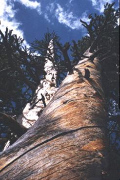
On the way back, I got a neat picture of a dead tree:
Mom and Dad left for home that afternoon. Trish and I stayed in the campground. On Saturday, we walked on a trail that skirts the edge of the campsite, first along the south edge of the campground, and then back along the Merced river. We sat on the river bank for about an hour, watching a small trout that was hunting for food in the water right at our feet. I think we named him Skippy….
Saturday night, we went to a ranger talk about the prominent figures that made Yosemite National Park what it is today. It was very interesting.
Thursday was a relatively relaxed day. Trish stayed back at the RV and relaxed. Mom and Dad and I took the free shuttle up to Olmsted Point. There, we walked up a small nature trail, and could see into Yosemite Valley from the “back side”.
On the way back, we got off the shuttle at Pothole dome. We ate lunch on the dome’s face, and Mom and I climbed to the top.
Rather than take the shuttle, we decided to walk from Pothole dome back to the campground on a trail north of the road. This turned out to be longer than expected, and Mom was very sorry she had only worn her tennis shoes. It was a very beautiful walk, though.
That evening, we went to a very interesting ranger talk about glaciers, ice ages, and global warming.

























 Facebook
 Instagram
 Email
Email